Pont Combal - Ghiacciaio del Miage quota 2260
Karte & Route
GPX-Track — vor der Tour am Gelände prüfen
Kondition
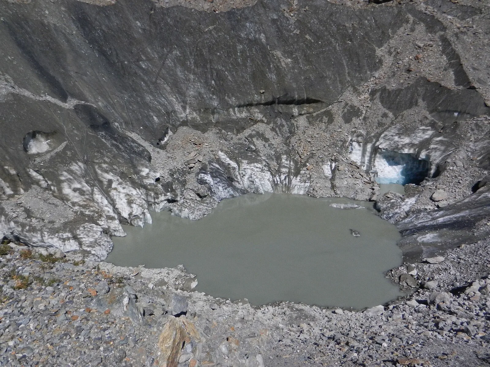
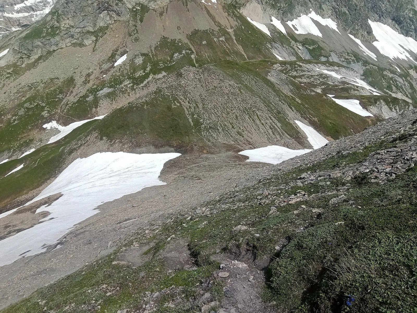
Pont Combal - Ghiacciaio del Miage quota 2260: offizieller Weg aus dem Wegekataster des Aostatals (Code 22_S56). Die Strecke liegt in der Gemeinde Doues im Grosser-Sankt-Bernhard-Tal. Von Pont Combal (1920 m) nach Ghiacciaio del Miage quota 2260 (2260 m): 2.9 km mit +283 m Höhenunterschied, Schwierigkeit EE (CAI-Skala). Minimale Höhe 1920 m, maximale 2260 m. Empfohlene Saison laut Kataster: Luglio - Agosto (Monate 7, 8). Markierung: 15 segnavia im Kataster erfasst. GPX-Strecke und Höhendaten der Autonomen Region Aostatal (Open Data DGR 899/2014).
Fotogalerie
Fotos werden sofort veröffentlicht. JPG/PNG/WebP, max. 6 MB.
Flora entlang des Weges
Beobachtbare Fauna
AErstellt und geprüft von Andrea Rama
Datenquelle: Catasto Sentieri Regione Autonoma VdA · Open data — DGR 899/2014
Zuletzt geprüft:
Val Veny
Verwandte Wanderwege
Gleiches Tal oder ähnliche Routen — weitere Touren zum Entdecken.
Val Veny
Area pic-nic Plan Veny - Lac du Breuillat
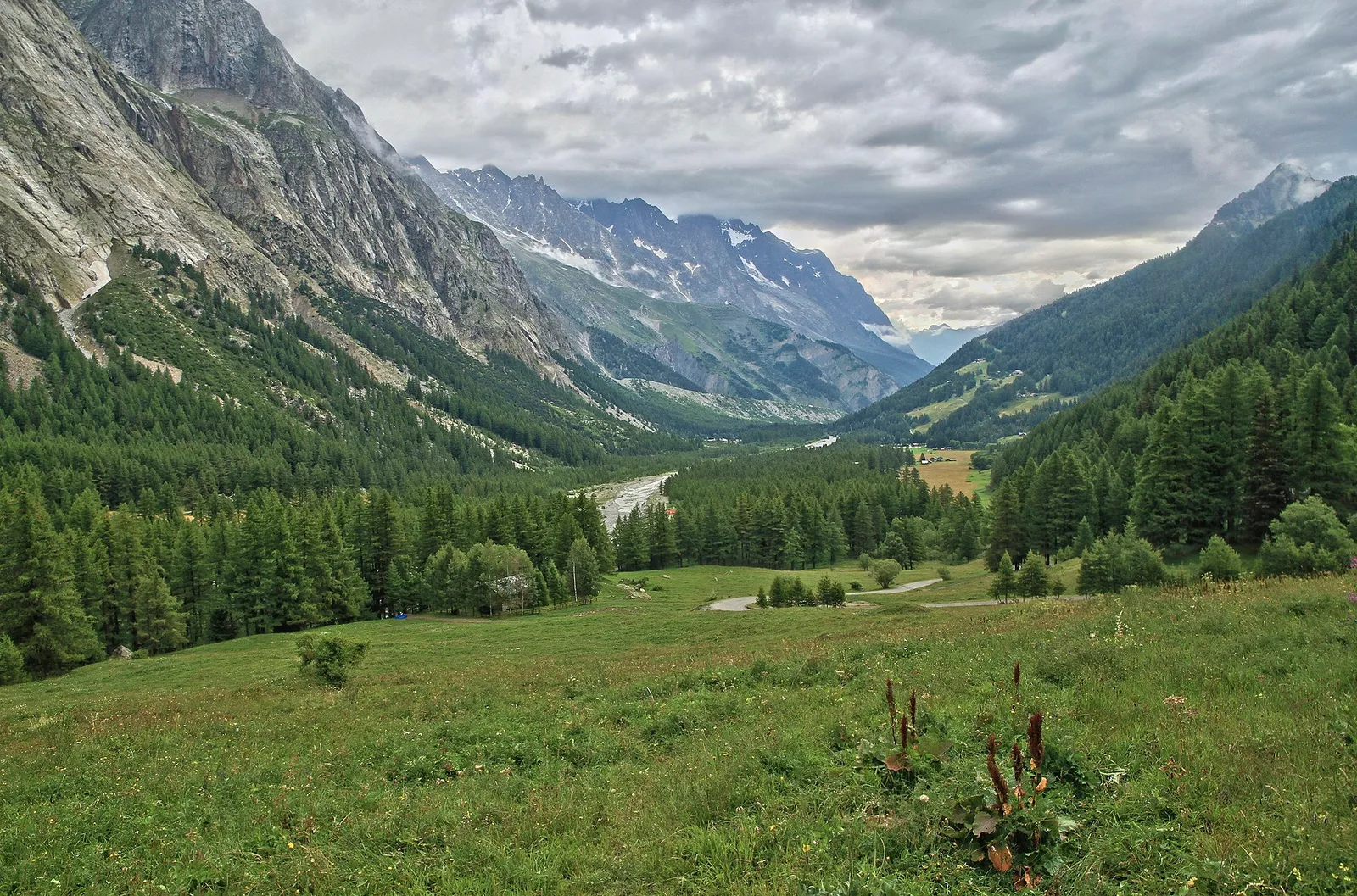
3.6 km · +420 m · E — von Area pic-nic Plan Veny nach Lac du Breuillat (Grosser-Sankt-Bernhard-Tal).
Val Veny
Area pic-nic Plan Veny - Rifugio Monzino
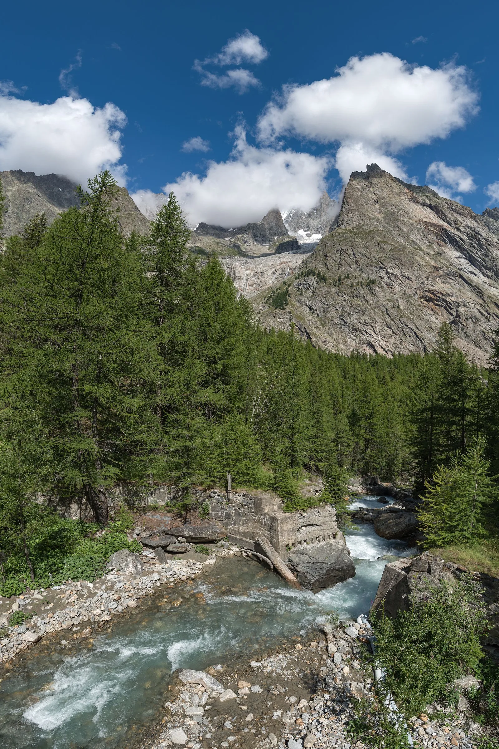
3.4 km · +997 m · EEA — von Area pic-nic Plan Veny nach Rifugio Monzino (Grosser-Sankt-Bernhard-Tal).
Val Veny
Balme - Col d'Arp
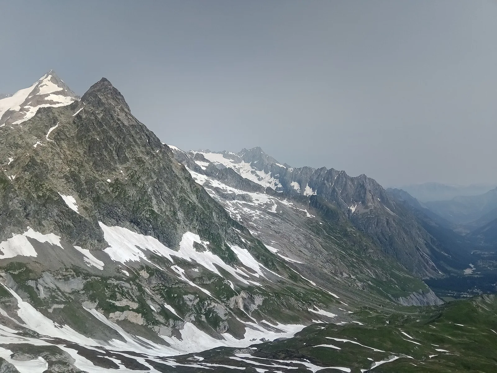
8.2 km · +1265 m · E — von Balme nach Col d'Arp (Rhêmes-Tal).
Val Veny
Balme - Col du Berrio Blanc
11 km · +1555 m · E — von Balme nach Col du Berrio Blanc (Rhêmes-Tal).