Parcheggio Porliod - Mont Morion

4.7 km
+818 m
−0 m
3 h
Kondition
Höhenprofil
Karte & Route
GPX herunterladenGPX-Track — vor der Tour am Gelände prüfen
Beschreibung
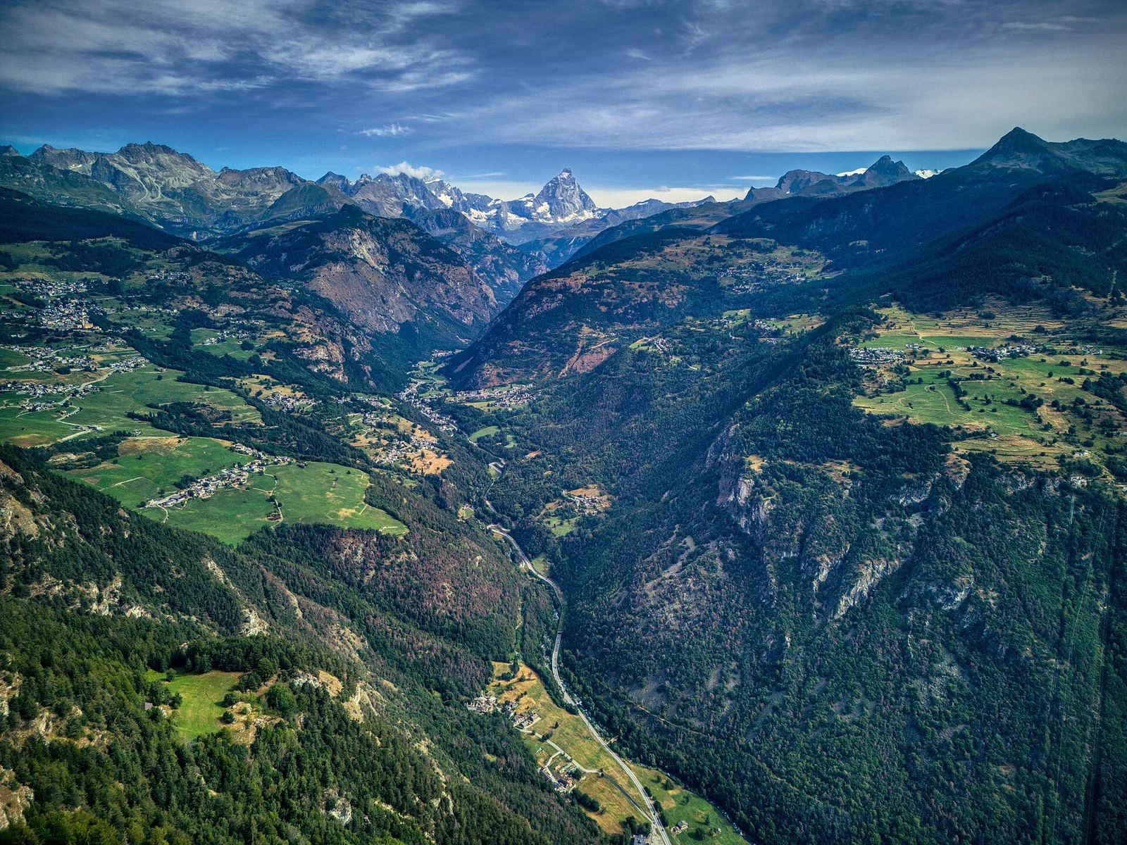
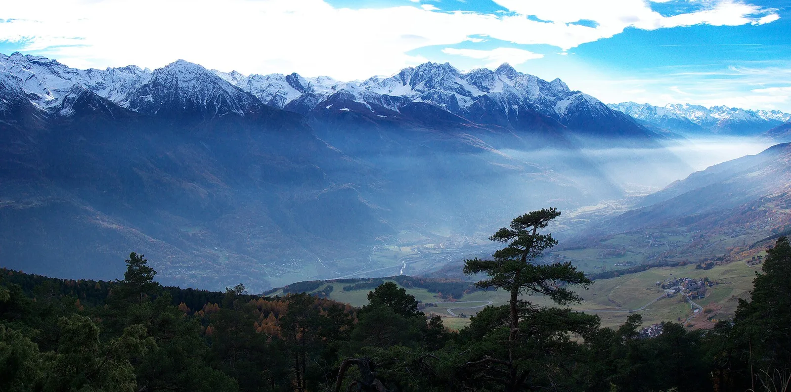
Parcheggio Porliod - Mont Morion: offizieller Weg aus dem Wegekataster des Aostatals (Code 45_S23). Die Strecke liegt in der Gemeinde Ollomont im Valpelline-Tal. Von Parcheggio Porliod (1893 m) nach Mont Morion (2712 m): 4.7 km mit +818 m Höhenunterschied, Schwierigkeit E (CAI-Skala). Minimale Höhe 1893 m, maximale 2712 m. Empfohlene Saison laut Kataster: giugno, luglio, agosto, settembre (Monate 6, 7, 8, 9). GPX-Strecke und Höhendaten der Autonomen Region Aostatal (Open Data DGR 899/2014).
Start & Ziel
Start
Parcheggio Porliod
1893 m
Ziel
Mont Morion
2712 m
AErstellt und geprüft von Andrea
Datenquelle: Catasto Sentieri Regione Autonoma VdA · Open data — DGR 899/2014
Zuletzt geprüft:
Valpelline
Verwandte Wanderwege
Gleiches Tal oder ähnliche Routen — weitere Touren zum Entdecken.
Valpelline
Berzin - Cappella di Saint-Evence
3.3 km · +507 m · EE — von Berzin nach Cappella di Saint-Evence (Valpelline-Tal).
Valpelline
Berzin - Chesod - Masod
1.6 km · +184 m · E — von Berzin nach Masod (Valpelline-Tal).

Valpelline
Bionaz (Plan Praz) - Place Moulin
11 km · +698 m · E — von Bionaz (Plan Praz) nach Place Moulin (Valpelline-Tal).
Valpelline
Blavy - Grandzette (Verrayes)
3.7 km · +500 m · E — von Blavy nach Grandzette (Valpelline-Tal).