Gran Balconata del Cervino (Col di Joux - Col Tzecore)
4.4 km
+110 m
−0 m
1.5 h
Kondition
Höhenprofil
Karte & Route
GPX herunterladenGPX-Track — vor der Tour am Gelände prüfen
Beschreibung
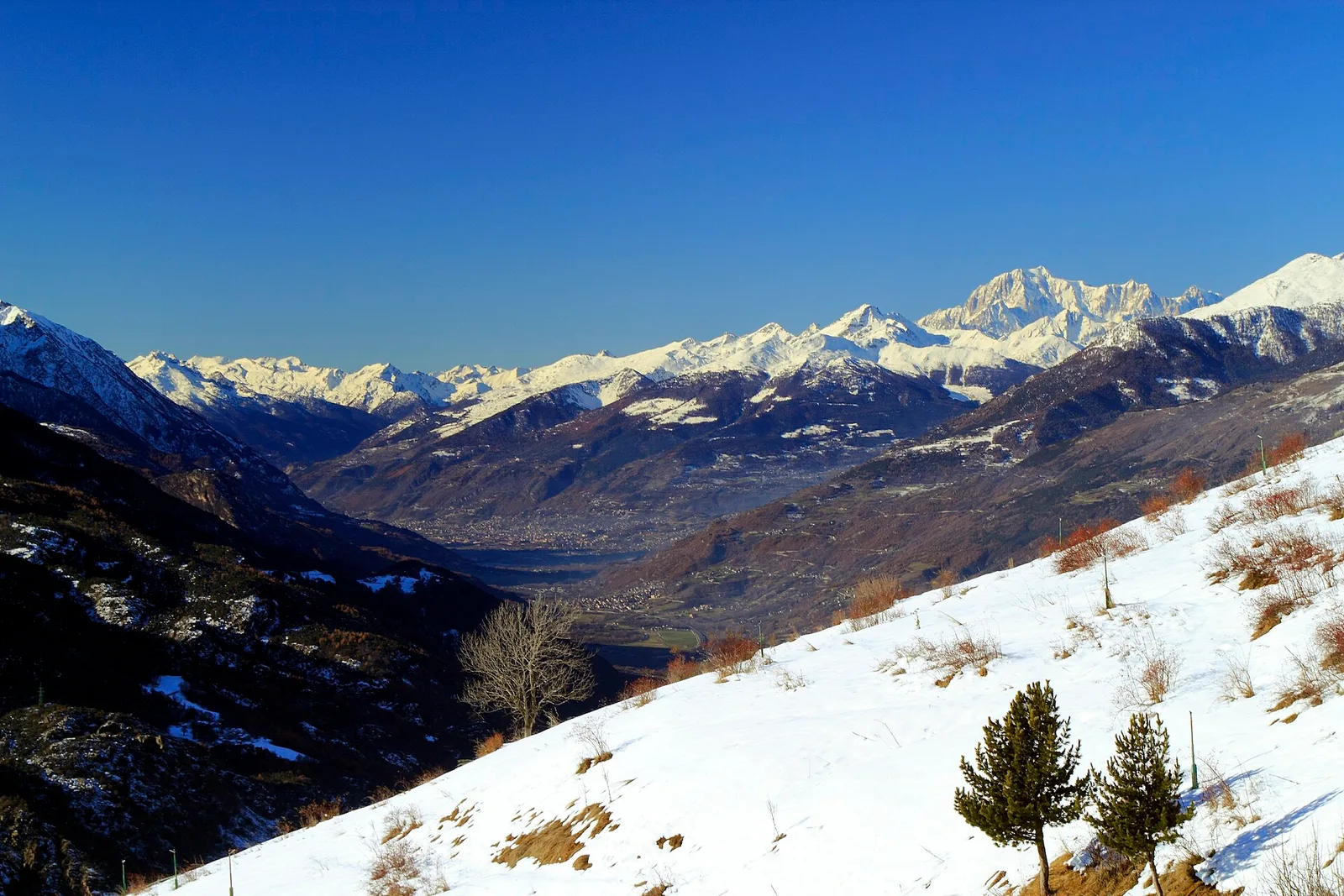
Gran Balconata del Cervino (Col di Joux - Col Tzecore): offizieller Weg aus dem Wegekataster des Aostatals (Code 65_S16). Die Strecke liegt in der Gemeinde Torgnon im Valtournenche. Von Col di Joux (1607 m) nach Col Tzecore (1638 m): 4.4 km mit +110 m Höhenunterschied, Schwierigkeit T (CAI-Skala). Minimale Höhe 1607 m, maximale 1638 m. Empfohlene Saison laut Kataster: Maggio - Ottobre (Monate 5, 6, 7, 8, 9, 10). Markierung: 107 segnavia im Kataster erfasst. GPX-Strecke und Höhendaten der Autonomen Region Aostatal (Open Data DGR 899/2014).
Start & Ziel
Start
Col di Joux
1607 m
Ziel
Col Tzecore
1638 m
AErstellt und geprüft von Andrea
Datenquelle: Catasto Sentieri Regione Autonoma VdA · Open data — DGR 899/2014
Zuletzt geprüft:
Valtournenche
Verwandte Wanderwege
Gleiches Tal oder ähnliche Routen — weitere Touren zum Entdecken.

Valtournenche
Anello Area sportiva-Fiernaz-Area sportiva
2.9 km · +28 m · T — von Area sportiva nach Area sportiva (Valtournenche).

Valtournenche
Anello dei Villaggi di Antey ( Ruvère, Liesse,Fontaney, Villettaz)
5.2 km · +456 m · E — von Ruvère nach Ruvère (Valtournenche).

Valtournenche
Arlier - Cloutraz (Pontey)
3.5 km · +515 m · E — von Arlier nach Cloutraz (Valtournenche).

Valtournenche
Balconata dal Belvedere al lago di San Grato
4.9 km · +705 m · E — von Bois de Grillet nach Lago di San Grato (Valtournenche).