Eaux-Rousses - Col de l'Entrelor
Karte & Route
GPX-Track — vor der Tour am Gelände prüfen
Kondition
Eaux-Rousses - Col de l'Entrelor: offizieller Weg aus dem Wegekataster des Aostatals (Code 70_S5). Die Strecke liegt in der Gemeinde Verrès im Ayas-Tal. Von Eaux-Rousses (1654 m) nach Col de l'Entrelor (3002 m): 10.2 km mit +1325 m Höhenunterschied, Schwierigkeit E (CAI-Skala). Minimale Höhe 1654 m, maximale 3002 m. Empfohlene Saison laut Kataster: Luglio-agosto (Monate 7, 8). GPX-Strecke und Höhendaten der Autonomen Region Aostatal (Open Data DGR 899/2014).
Fotogalerie
Fotos werden sofort veröffentlicht. JPG/PNG/WebP, max. 6 MB.
Flora entlang des Weges
Beobachtbare Fauna
AErstellt und geprüft von Andrea Rama
Datenquelle: Catasto Sentieri Regione Autonoma VdA · Open data — DGR 899/2014
Zuletzt geprüft:
Val di Rhêmes
Verwandte Wanderwege
Gleiches Tal oder ähnliche Routen — weitere Touren zum Entdecken.
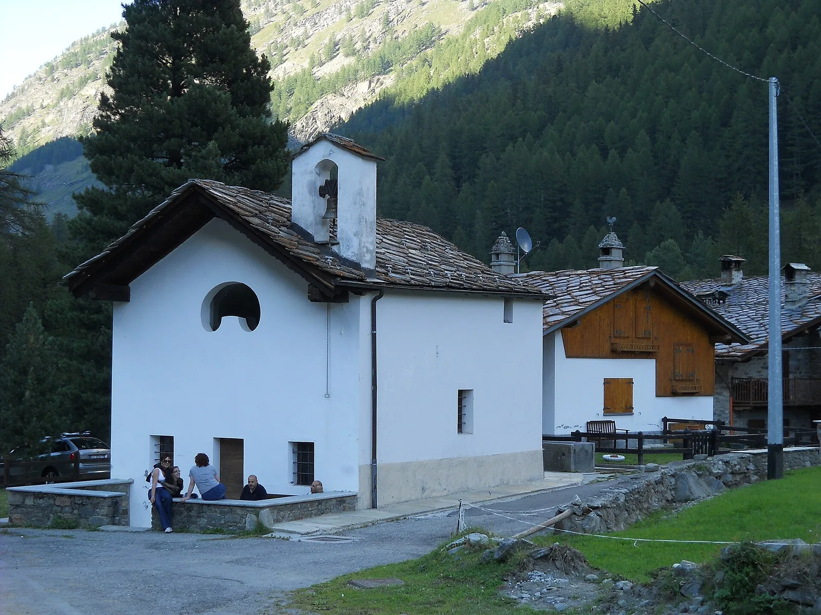
Val di Rhêmes
Artalle - Pechaud - Chaussettaz
2.9 km · +535 m · E — von Artalle nach Chaussettaz (Grosser-Sankt-Bernhard-Tal).
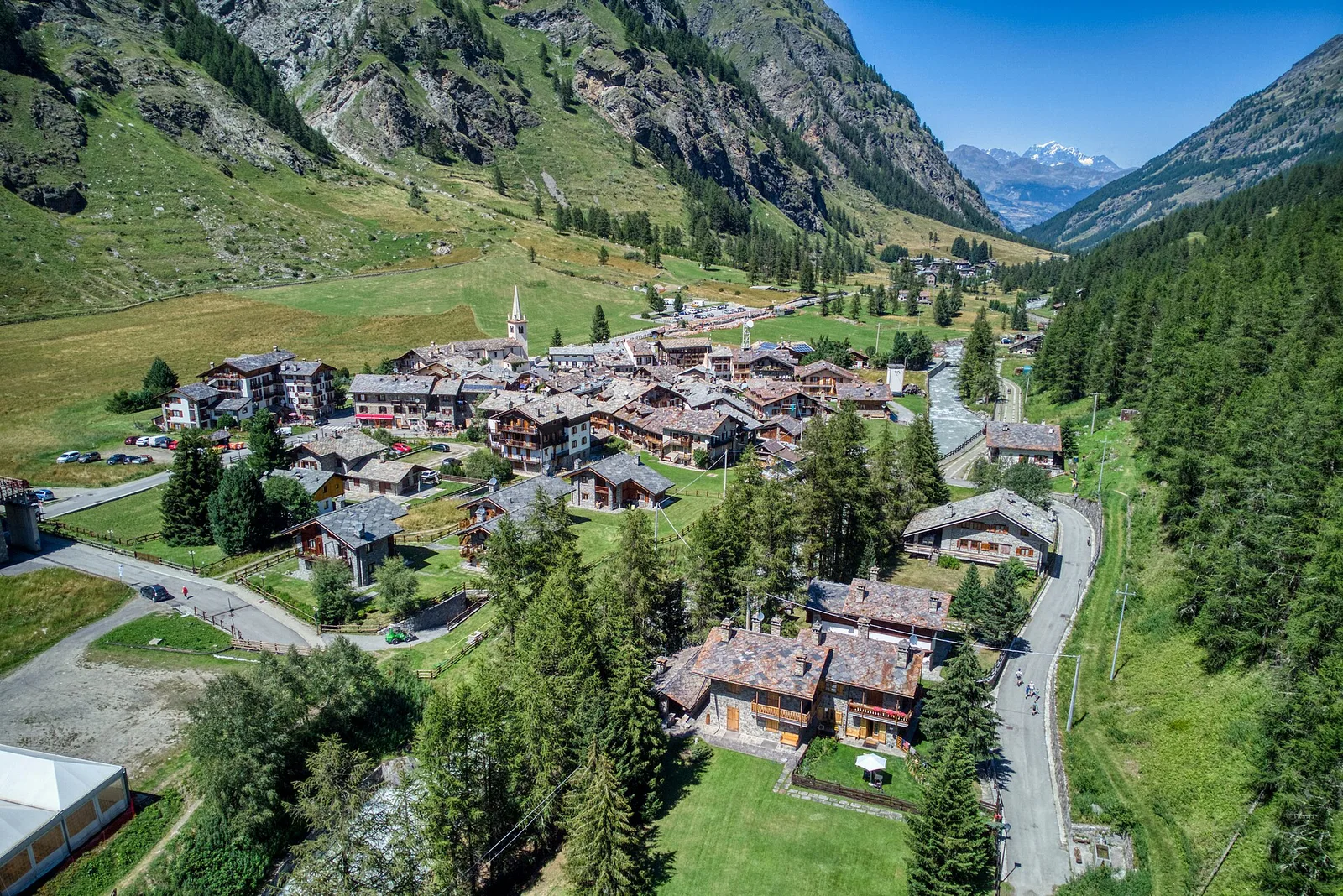
Val di Rhêmes
Bruil - Casotto PNGP di Sort
2.7 km · +571 m · E — von Bruil nach Casotto PNGP di Sort (Grosser-Sankt-Bernhard-Tal).
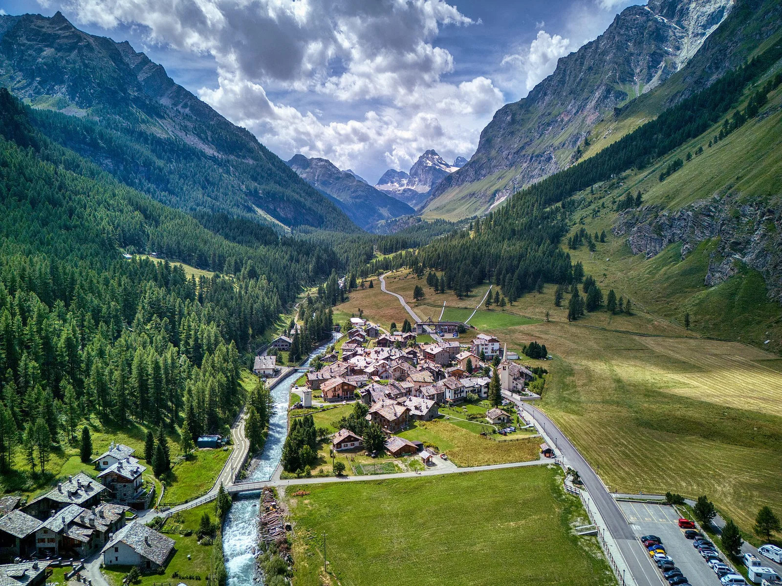
Val di Rhêmes
Bruil - Chaussettaz
2.6 km · +472 m · E — von Bruil nach Chaussettaz (Grosser-Sankt-Bernhard-Tal).
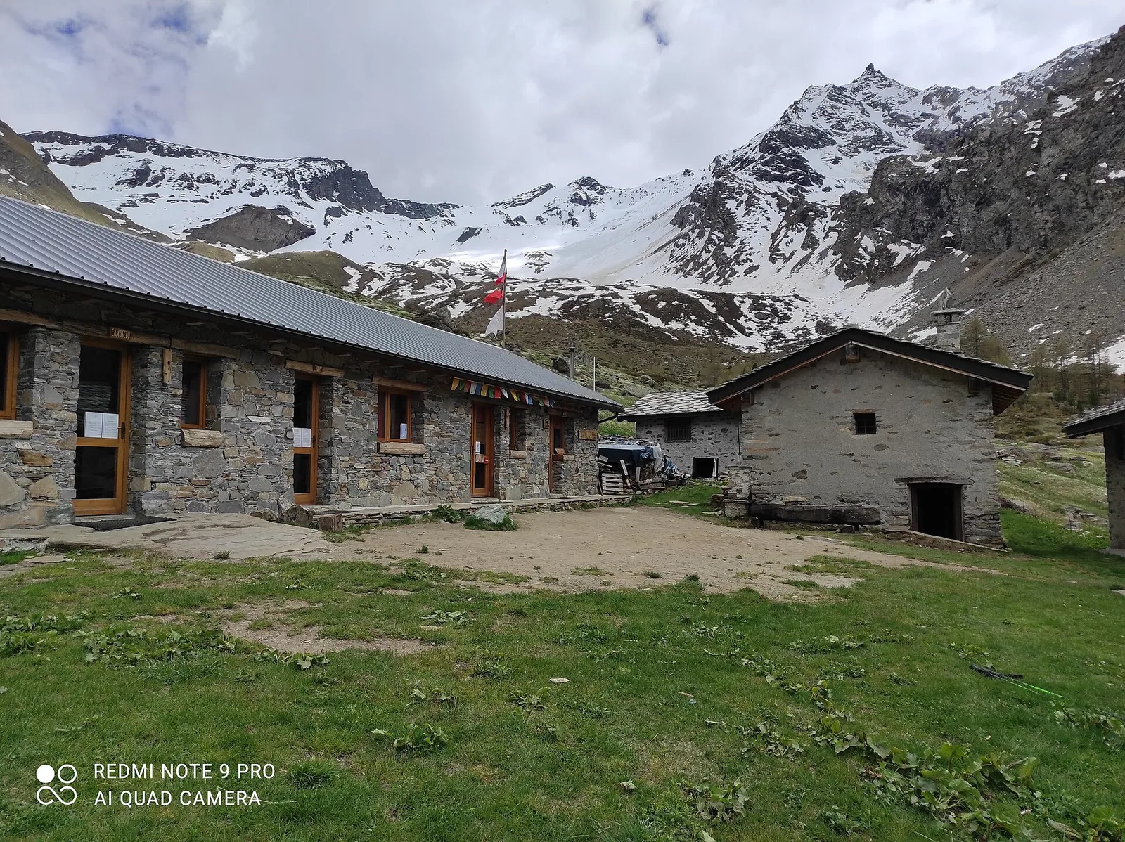
Val di Rhêmes
Bruil - Col d'Entrelor
5.6 km · +1281 m · E — von Bruil nach Col d'Entrelor (Grosser-Sankt-Bernhard-Tal).