Amponey - Bec de Nannaz

6.2 km
+1467 m
−0 m
5 h
Nível físico
Mapa e percurso
Traço GPX — verifique no terreno antes de caminhar
Descrição
Pontos-chave
Partida
Amponey · 1550 m
Chegada
Bec de Nannaz · 3003 m
Trilho
S10
Official trail from the Aosta Valley Trail Cadastre in the municipality of Ayas, Val d'Ayas. It runs from Amponey (1550 m) to Bec de Nannaz (3003 m), covering 6.2 km with +1467 m of ascent. Difficulty Experienced hikers (EE) on the CAI scale, with an estimated walking time of about 5 h. Recommended period: June, July, August and September.
Estacionamento
Galeria de fotos
Photos are published immediately. JPG/PNG/WebP, max 6 MB.
Flora do trilho
Fauna para observar
AEditado e verificado por Andrea Rama
Fonte dos dados: Catasto Sentieri Regione Autonoma VdA · Open data — DGR 899/2014
Última verificação:
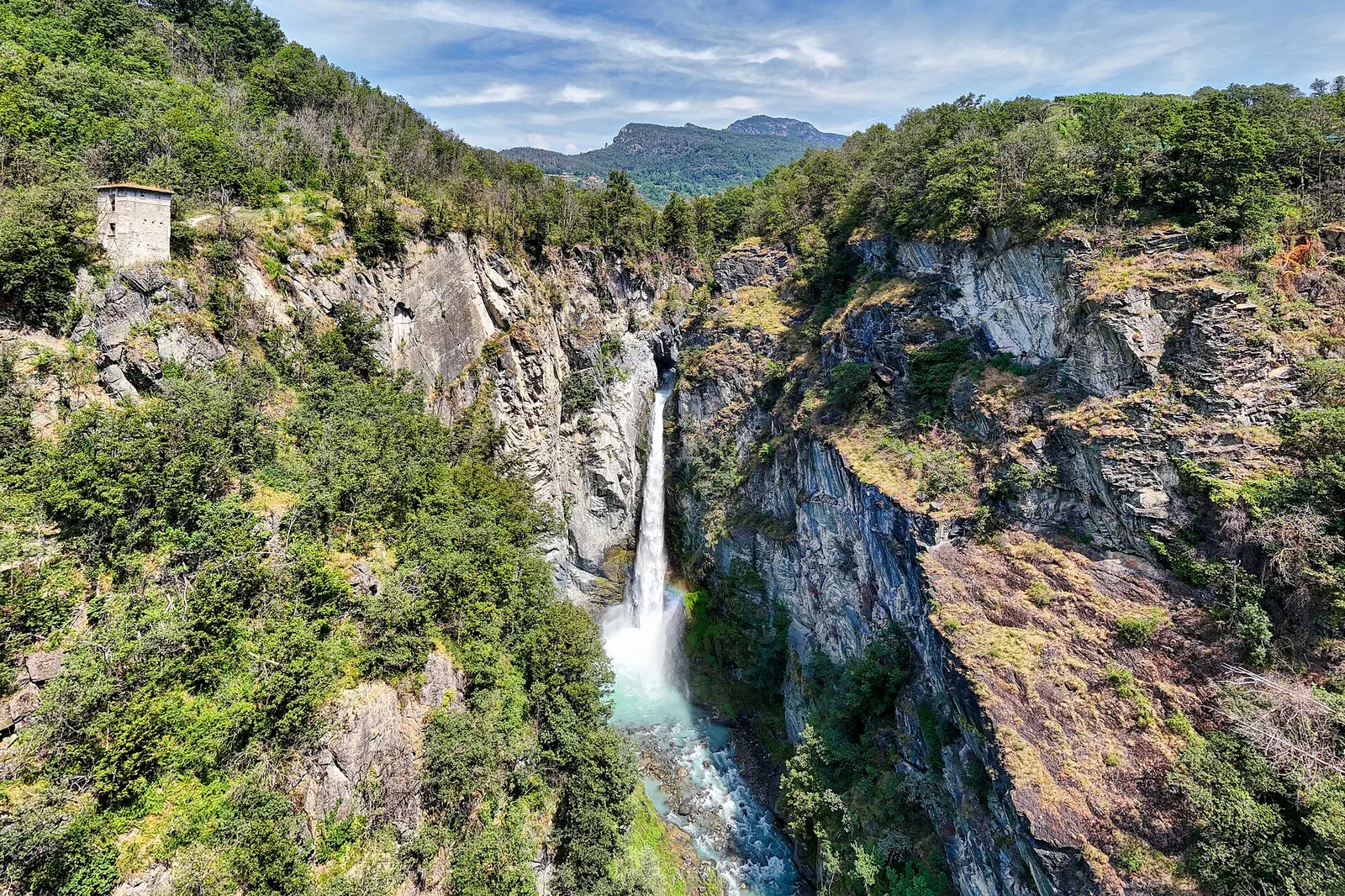
Val d'Ayas
Trilhos relacionados
Mesmo vale ou percursos semelhantes — mais caminhadas para descobrir.

Val d'Ayas
Amponey - Becca Trecare
A demanding EE ascent from Amponey to Becca Trecare at 3032m — nearly 1500m of gain on varied terrain with sweeping summit views.

Val d'Ayas
Amponey - Alpe Mascognaz
1.8 km · +309 m · E — from Amponey to Alpe Mascognaz (Central Valley).

Val d'Ayas
Amponey - Mont Facebelle
In the Val d'Ayas, Ayas: an E/EE-rated climb toward a high-altitude objective in the alpine landscape.
Val d'Ayas
Anello delle gole del torrente Roesaz
9.4 km · +1238 m · EE — from Isollaz to Isollaz (Ayas Valley).