Strada per Estoul - Rifugio Arp
Avisos
- In fog the path across pastures and boulder fields can be hard to follow: rely on waymarks and a map.
- Always check the forecast before setting out: mountain weather changes fast and summer afternoon storms are common.
6.3 km
+614 m
−0 m
3 h
Nível físico
Mapa e percurso
Traço GPX — verifique no terreno antes de caminhar
Descrição
Pontos-chave
Partida
Estoul · 1884 m
Chegada
Rifugio Arp · 2425 m
Trilho
S13
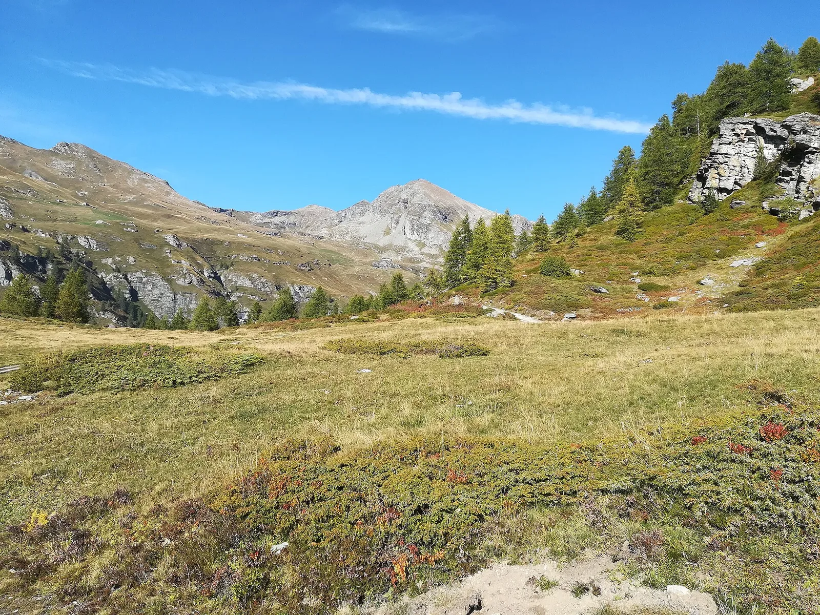
The classic approach to Rifugio Arp departs from Estoul (1884 m), a small Brusson hamlet with well-preserved Walser architecture in the upper Val d'Ayas. Over 6.3 km and 614 m of elevation gain, the Tourist-rated trail — the lowest category on the CAI scale — reaches the Rifugio Arp alp (2425 m) across open terrain, with ever-widening views over the Val d'Ayas and its surrounding peaks. The modest difficulty and already high starting elevation make this route accessible to almost everyone. The Rifugio Arp serves as a base for more demanding excursions onto the ridges dividing Val d'Ayas from Valtournenche. Season: June–September.
Estacionamento
Galeria de fotos
Photos are published immediately. JPG/PNG/WebP, max 6 MB.
Flora do trilho
Fauna para observar
AEditado e verificado por Andrea Rama
Fonte dos dados: Catasto Sentieri Regione Autonoma VdA · Open data — DGR 899/2014
Última verificação:
Valle del Lys
Trilhos relacionados
Mesmo vale ou percursos semelhantes — mais caminhadas para descobrir.

Valle del Lys
Anello dei Gemelli della Mologna
8.9 km · +996 m · EEA — from Niel to Niel (Great St Bernard Valley).

Valle del Lys
Balmeto - Leck Albezò
1.2 km · +287 m · E — from Balmeto to Leck Albezò (Champorcher Valley).

Valle del Lys
Bino - Passo di Valnera
4.5 km · +1280 m · E — from Bino to Alpe Jatza (Champorcher Valley).

Valle del Lys
Cascate di Niel
0.6 km · +80 m · E — from Start 7B to Cascate di Niel (Great St Bernard Valley).