Dondena - Col Fussy - Mont Glacier
7.8 km
+1098 m
−0 m
4.5 h
Nível físico
Mapa e percurso
Traço GPX — verifique no terreno antes de caminhar
Descrição
Pontos-chave
Partida
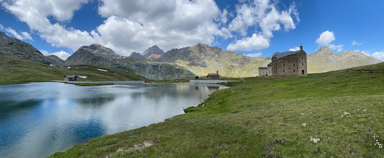
Dondena · 2103 m
Chegada
Mont Glacier · 3182 m
Trilho
S33
A high-altitude route that from Dondena (2103 m), in the upper Champorcher valley in the municipality of Châtillon, climbs to Mont Glacier (3182 m) via the Col Fussy. With nearly 1100 metres of ascent at Expert Hikers (EE) difficulty, it leads above three thousand metres in a harsh setting of high meadows, scree and ridges. Dondena, a broad basin of historic alpine pastures, is the ideal base for this panoramic climb at the head of the valley. The summit of Mont Glacier dominates the boundary between Champorcher and the neighbouring valleys and offers, on clear days, a vast horizon. A route only for summer, with a sure foot, good fitness and settled weather.
Estacionamento
Galeria de fotos
Photos are published immediately. JPG/PNG/WebP, max 6 MB.
Fauna para observar
AEditado e verificado por Andrea Rama
Fonte dos dados: Catasto Sentieri Regione Autonoma VdA · Open data — DGR 899/2014
Última verificação:
Valle di Champorcher
Trilhos relacionados
Mesmo vale ou percursos semelhantes — mais caminhadas para descobrir.

Valle di Champorcher
Barche - Plan Clavalité - Grand Alpe
13.9 km · +1540 m · E — from Barche to Grand Alpe (Lys Valley).

Valle di Champorcher
Castagnot - Col de Pofouey
3.8 km · +903 m · E — from Castagnot to Colle d'Arcomy (Central Valley).

Valle di Champorcher
Champorcher - Col de la Fricolla
8.8 km · +1350 m · EE — from Champorcher to Col de la Fricolla (Valtournenche).

Valle di Champorcher
Champorcher - Col Laris
10.1 km · +1406 m · E — from Champrocher to Col Laris (Valtournenche).