Gressoney-La-Trinité - Testa Grigia (Groabhopt)
5.9 km
+1689 m
−0 m
5.5 h
Nível físico
Mapa e percurso
Traço GPX — verifique no terreno antes de caminhar
Descrição
Pontos-chave
Partida
Capoluogo · 1665 m
Chegada
Testa Grigia (Groabhopt) · 3315 m
Trilho
S23
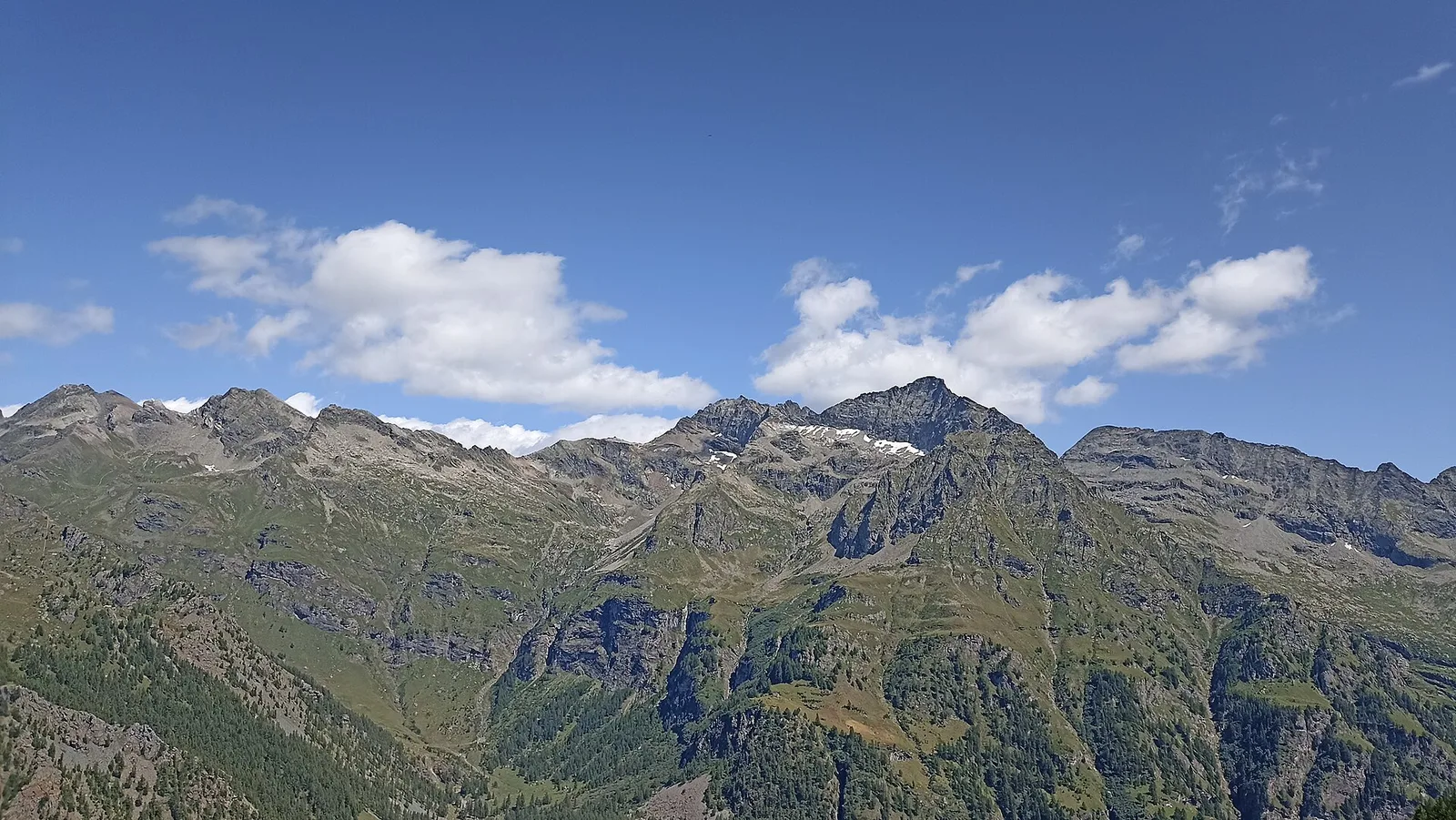
A demanding, rewarding climb to the Testa Grigia (Groabhopt, 3,315 m), one of the highest panoramic summits reachable on foot from Gressoney. From the main village you ascend the long valley to the last pastures, then the ground turns mineral among scree and rocky steps on the final stretch (EEA: sure feet and, early season, care on snowfields). From the top the panorama is full-circle and grand: the whole south face of Monte Rosa, from the Lyskamm to the Punta Gnifetti with the Margherita hut, and the Pennine Alps as far as the eye can see. A long outing, for a dawn start and settled weather. High in the valley, in a panoramic spot, stands the Ulrich Lateltin bivouac, a useful shelter and landmark before the summit stretch.
Ciências da Terra
Geologia e paisagem
Geologically this is the heart of the Monte Rosa nappe: gneisses and granites of European continental crust, wrapped in the greenstones (serpentinites and prasinites) of the ancient Alpine ocean, today shaped by the Lys glaciers.
História e cultura
The valley is home to the Walser, Alemannic settlers who came down from Valais in the 13th century over the glacier passes of Monte Rosa: in Gressoney the Töitschu language, the timber-and-stone houses (stadel) and the German place names that dot the mountain still survive.
Estacionamento
Galeria de fotos
Photos are published immediately. JPG/PNG/WebP, max 6 MB.
Flora do trilho
Fauna para observar
AEditado e verificado por Andrea Rama
Fonte dos dados: Catasto Sentieri Regione Autonoma VdA · Open data — DGR 899/2014
Última verificação:
Valle del Lys
Trilhos relacionados
Mesmo vale ou percursos semelhantes — mais caminhadas para descobrir.

Valle del Lys
Anello dei Gemelli della Mologna
8.9 km · +996 m · EEA — from Niel to Niel (Great St Bernard Valley).

Valle del Lys
Balmeto - Leck Albezò
1.2 km · +287 m · E — from Balmeto to Leck Albezò (Champorcher Valley).

Valle del Lys
Bino - Passo di Valnera
4.5 km · +1280 m · E — from Bino to Alpe Jatza (Champorcher Valley).

Valle del Lys
Cascate di Niel
0.6 km · +80 m · E — from Start 7B to Cascate di Niel (Great St Bernard Valley).