Mountain safety
Prepare before you go.
Before you set foot on the trail: check conditions, read the weather, pack your bag and know what to do in an emergency. Mountain safety starts before you leave.
Emergency: call 118
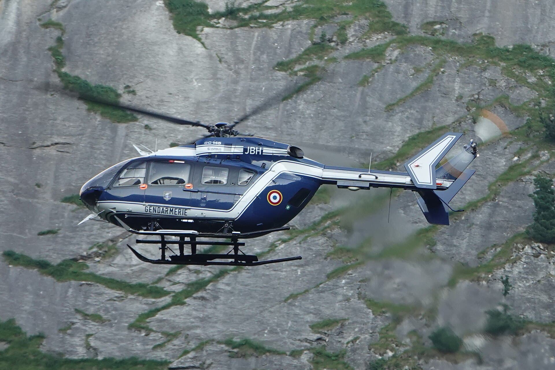
118 is Italy's single emergency medical number. It works 24/7, is free and answers even without phone credit. In Aosta Valley, 118 calls can activate the Soccorso Alpino Valdostano (SAV) — the specialist team for mountain, trail and high-altitude rescue.
Before calling, make yourself and others safe. With no signal, use the international distress signal: 6 visual or acoustic signals per minute (whistle, torch, mirror, shouts), then pause one minute, repeated until spotted. Staying visible in one place is usually faster to find than moving without orientation.
118Individual responsibility
No website, map or trail page replaces what you see on the ground. Sentieri VdA uses official sources, but landslides, late snow, removed bridges and diversions can change a route overnight. The final decision to start, continue or turn back is always yours.
- Check updated conditions on lovevda.it or Catasto Sentieri VdA the day before and on the morning of your hike
- Ask the nearest hut, CAI section or village — they often know of ice or landslides not yet online
- Choose the route for the weakest member of the group, not the most experienced
- Tell someone your route, expected return time and when to worry if they don't hear from you
- Skip the summit or long loop if weather, snow, fatigue or missing signs require it — turning back is the right call
Recommended equipment
CAI grade describes the route, not what to carry. On an E (Hiker) trail, treat the list below as a minimum. On EE/EEA add helmet, crampons or ice axe by season, and climbing gear only if the route requires it.
- Trekking boots with Vibram sole and ankle support — grip matters on wet rock and scree
- Layered clothing: thermal base, fleece, waterproof windproof shell
- At least 1.5 L water per person in summer; more in heat or if no reliable springs
- Emergency food (bars, nuts): delays from weather or fatigue are common
- 1:25,000 map or offline app with GPX — mobile coverage is often missing in side valleys
- Charged phone, power bank if possible, with 118 saved in contacts
- First-aid kit: plasters, bandage, antiseptic, emergency blanket
- Trekking poles on routes with significant elevation gain
- High-factor sunscreen and sunglasses — UV increases quickly with altitude
- Headlamp if starting in the dark or returning after sunset
- Light thermal layer even in summer above 2,200–2,500 m
In Aosta Valley elevation changes fast: you may start at 600 m in a T-shirt and find snow or strong wind above 2,500 m. Pack for the highest point of the route, not valley temperature.
Weather
Mountain weather differs from the valley floor. Check forecasts for the 24 hours before departure, using sources that show altitude and aspect. In Aosta Valley use ARPA VdA and Fondazione Montagna Sicura; for the French border (Mont Blanc, Val Ferret, Val Veny) add Météo France. Summer afternoon storms above 2,000 m are common — cumulus building to the west is often visible hours ahead.
- Start early: if the sky looks unstable, aim to be below 2,400 m by 1 pm
- Do not stay on exposed ridges, below cliffs or in gullies when clouds build — lightning seeks high points
- In winter and spring check the avalanche bulletin before leaving marked trails
- Snow can last until June–July on north slopes and passes above 2,500 m — verify on the ground
- Wind on ridges lowers perceived temperature sharply — always carry a windproof layer
- If weather worsens, the safest choice is to shorten the route or turn back, not speed up
Recommended weather sites
Official regional forecasts: valley, mid-mountain and high altitude.
Snow cover and nivological conditions.
National mountain weather network with high-altitude station data.
Avalanche bulletin and mountain safety in Aosta Valley.
French Alps: Mont Blanc, Val Ferret, border areas.
Elevation and aspect forecasts for planning start times.
Warning signs
In the mountains, danger signs appear before a situation becomes critical. Learning to read them keeps you from getting into trouble at altitude or far from the nearest hut. If you notice one, the safest choice is almost always to turn back or shorten the route — skipping a summit is not a failure.
- Sky darkening to the west with rapidly growing cumulus — afternoon storm likely
- Temperature drop and rising wind even in summer — deterioration at altitude
- Trail covered by soft snow, ice or fresh debris — assess whether you have suitable gear
- Missing, damaged or ignored closure signs — do not continue blindly
- Excessive fatigue, dizziness, nausea or pounding headache — possible altitude sickness (AMS)
- Cracking or moving snow on steep slopes — avalanche risk, move away from the slope
- Recent landslide or damaged bridge/section — ground may still be unstable
Mountain rescue: what to do
In an accident, first protect the injured from cold and rock fall, then call 118. The operator activates the SAV and guides you step by step — answer calmly even if the line is poor. Do not hang up; they may call back for details.
- 1Caller: full name, phone number, relationship to the group
- 2Location: trail name, nearest hut or village, approximate altitude, GPS coordinates if available
- 3What happened: number of people, type of injury (fall, lost, illness, hypothermia)
- 4On-site conditions: conscious or not, mobile or trapped, current weather and visibility
- 5Signal: if the line is unstable, say so immediately so they record essentials
Without phone signal, send GPS coordinates to a trusted contact (WhatsApp, SMS) and stay as visible as possible — bright clothing, arm movements. In a group, one person stays with the injured while others seek signal. Never leave an injured person alone without care.
Good practice
On the trail, good practice protects hikers, those who follow and the mountain environment. Aosta Valley has protected parks, active pastures and shared routes with climbers and bikers — respecting signs and etiquette reduces avoidable incidents.
- Respect closure signs, diversions and fences — they often mark landslides, hunting or works
- In Gran Paradiso National Park dogs must be on lead on all routes
- In pastures with livestock keep dogs on a short lead and do not cross fences
- With children choose T routes, plan frequent breaks and extra layers — they cool down faster
- Leave no litter, do not cut unmarked shortcuts, no fires outside designated areas
- On narrow or uphill sections give way to those climbing — slow down and greet
- Do not disturb wildlife — observe from a distance, especially ibex and chamois in breeding season
Useful links and contacts
Save these links and numbers before you leave, especially on routes without coverage. Use official sources for trail conditions; check ARPA and Fondazione Montagna Sicura for weather and avalanches on the day of your hike.
Mountain emergencies, 24/7, free in Italy.
Official trail conditions and High Routes.
Regional weather and snow bulletins.
Avalanche and mountain safety in Aosta Valley.
CAI sections, huts and local information.
Report errors or contribute to the project.