Bourg - Petit Antey - Lod - Brengon (La Magdeleine)
Map & route
GPX track — verify on the ground before hiking
Fitness level
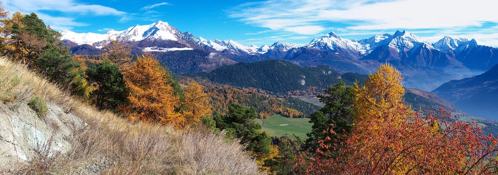
The trail links the hamlet of Bourg in Antey-Saint-André to the hamlet of Brengon belonging to the small commune of La Magdeleine, perched between the Valtournenche and the Torgnon valley. Departing at 1474 metres, the route covers 3.7 km with only 188 metres of elevation gain, making it one of the most accessible walks in the mid-Valtournenche and well suited to families. The path passes through the hamlets of Petit Antey and Lod before reaching Brengon at 1643 metres, where traditional Valdostan rural architecture — stone mayens, stables, fountains — appears in its most authentic form. Brengon is also the starting point of the known via ferrata Brengon-Parapromiat. Open April to October.
Getting there
Parking
Photo gallery
Photos are published immediately. JPG/PNG/WebP, max 6 MB.
Flora along the trail
ACurated and verified by Andrea Rama
Data source: Catasto Sentieri Regione Autonoma VdA · Open data — DGR 899/2014
Last verified:
Valtournenche
Related trails
Same valley or similar routes — more hikes to explore.
Valtournenche
Anello Area sportiva-Fiernaz-Area sportiva
2.9 km · +28 m · T — from Area sportiva to Area sportiva (Valtournenche).
Valtournenche
Anello dei Villaggi di Antey ( Ruvère, Liesse,Fontaney, Villettaz)
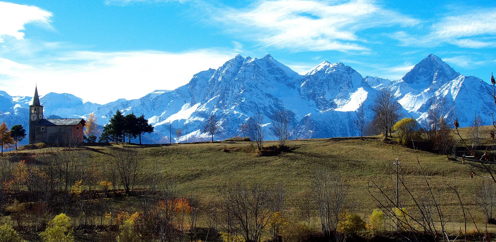
A loop through the sunlit hamlets of Antey and Torgnon: traditional Aosta Valley architecture, vineyards and mid-mountain forest, 5.2 km from Ruvère.
Valtournenche
Anello di Champlève
1.9 km · +140 m · E — from Champlève to Champlève (Central Valley).
Valtournenche
Area Pic Nic Champlong - Becca d'Aver e Cima Longhede
6.4 km · +913 m · E — from Area Pic Nic Champlong to Cima Longhede (Valsavarenche).