Bivacco Gontier - Col du Tradzo
2 km
+556 m
−0 m
2 h
Fitness level
Elevation profile
Map & route
Download GPXGPX track — verify on the ground before hiking
Description
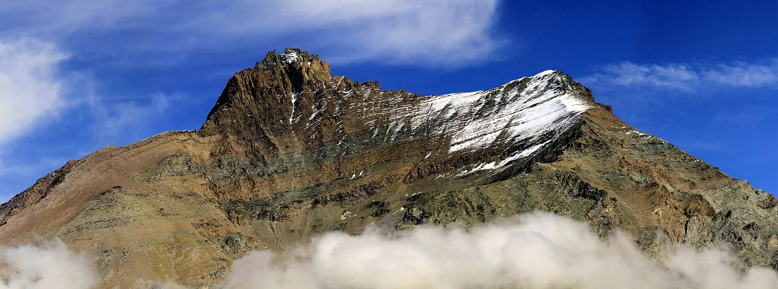
Bivacco Gontier - Col du Tradzo is an official trail from the Aosta Valley trail registry (code 08_S20). The route lies in the municipality of Aymavilles, in the Cogne Valley. From Bivacco Gontier (2302 m) to Col du Tradzo (2875 m): 2 km with +556 m of elevation change, difficulty E (CAI scale). Minimum elevation 2302 m, maximum 2875 m. Recommended season per registry: Luglio-agosto (months 7, 8). GPX track and elevation data from Regione Autonoma Valle d'Aosta (open data DGR 899/2014).
Start & end
Start
Bivacco Gontier
2302 m
Finish
Col du Tradzo
2875 m
ACurated and verified by Andrea
Data source: Catasto Sentieri Regione Autonoma VdA · Open data — DGR 899/2014
Last verified:
Val di Cogne
Related trails
Same valley or similar routes — more hikes to explore.
Val di Cogne
Aymavilles - Torlin
4 km · +848 m · E — from Aymavilles to Torlin (Cogne Valley).
Val di Cogne
Aymavilles (Moulin) - Petit Poignon
6.2 km · +926 m · E — from Aymavilles (Moulin) to Petit Poignon (Cogne Valley).
Val di Cogne
Aymavilles (Moulin) - Pondel
3.6 km · +238 m · E — from Moulin to Pondel (Cogne Valley).
Val di Cogne
Aymavilles (St-Léger) - Strada regionale per Cogne
0.9 km · +203 m · E — from Aymavilles (St-Léger) to Strada regionale per Cogne (Cogne Valley).