Bivacco Gontier - Arpissonnet (Casotto PNGP)
Map & route
GPX track — verify on the ground before hiking
Fitness level
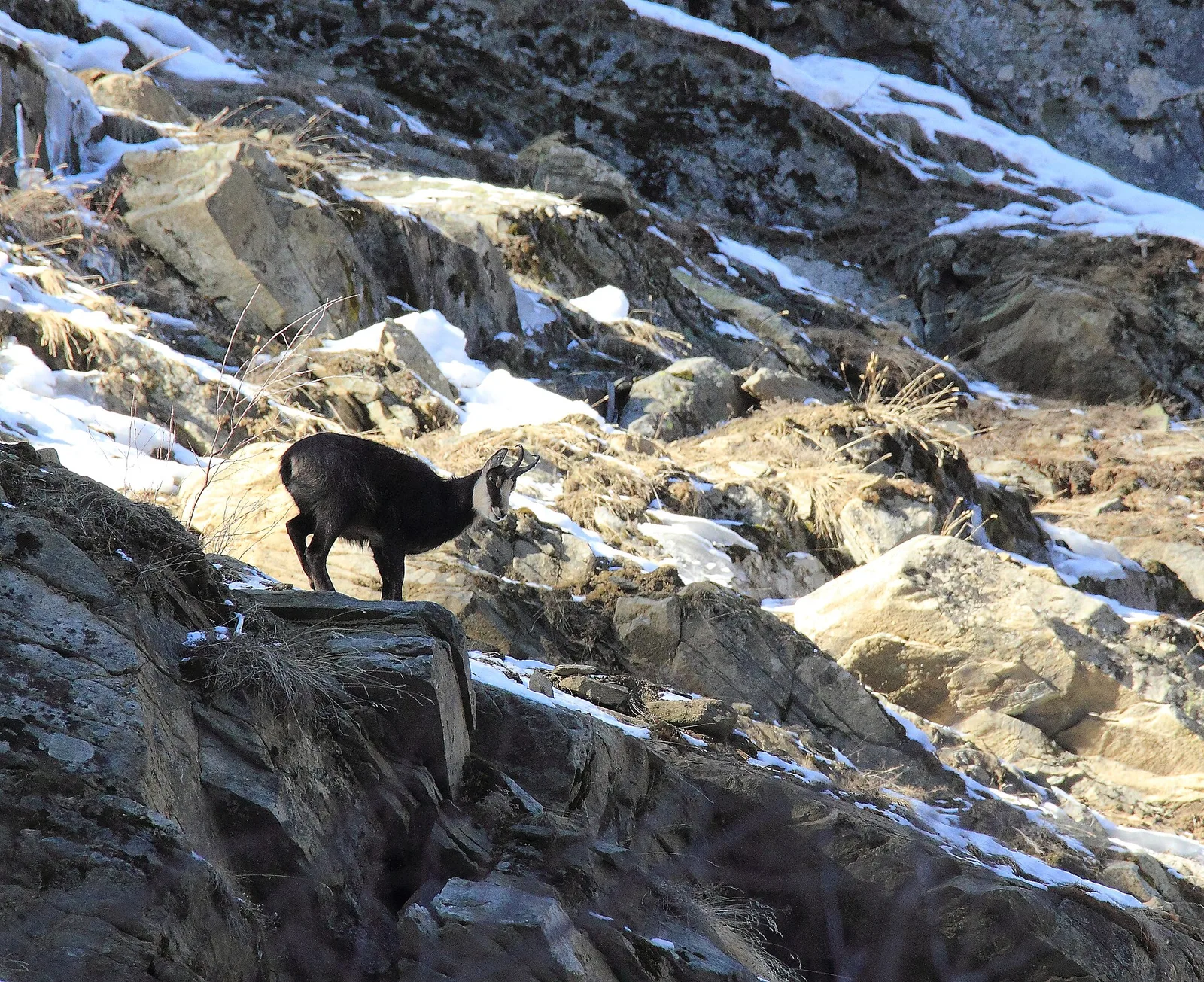
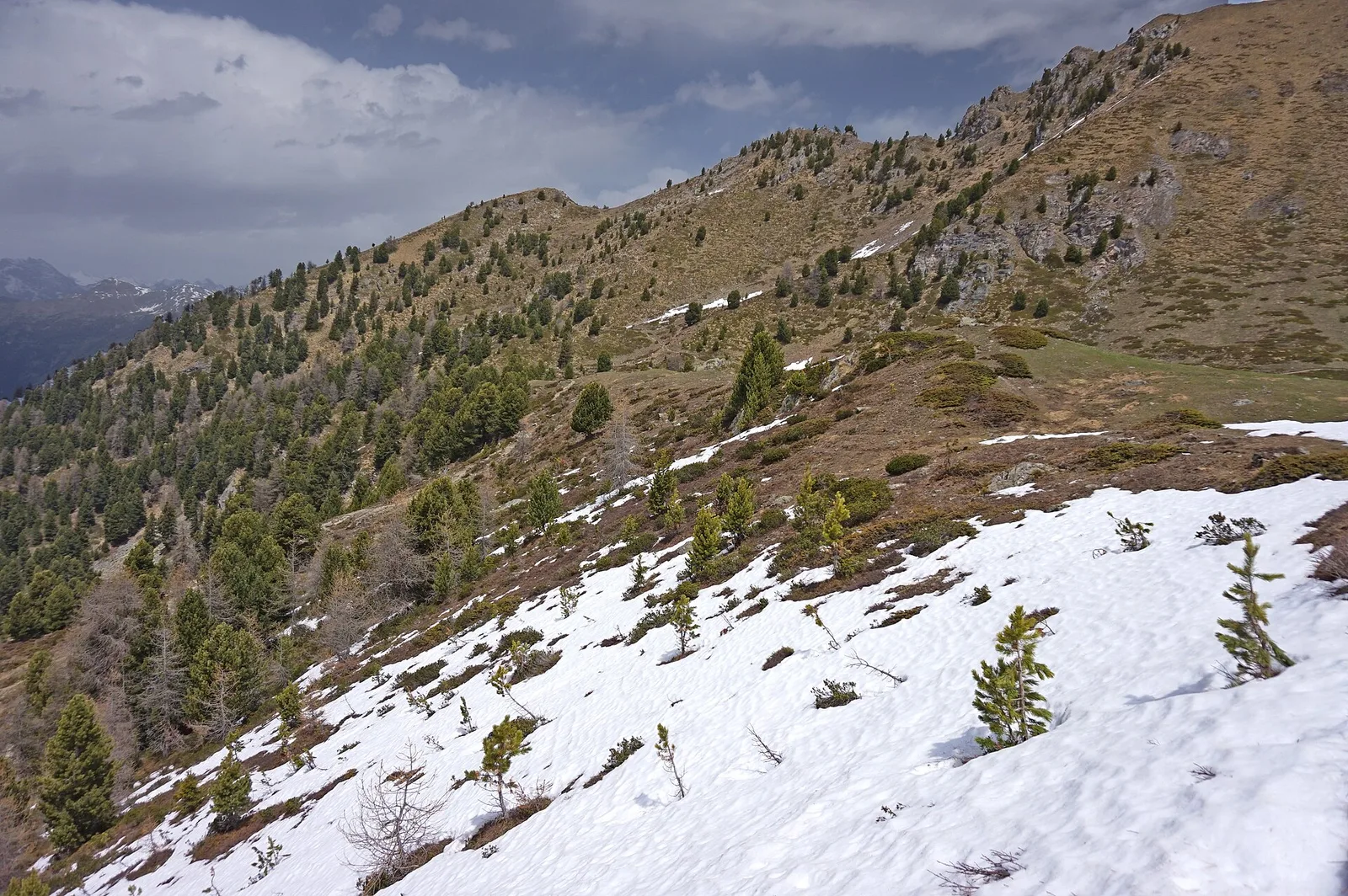
The trail links Bivacco Gontier (2266 m), a rest point in the upper Val di Cogne, to the Gran Paradiso National Park shelter at Arpissonnet (1996 m), descending 3.5 km with 271 metres of elevation loss. It is a connecting path within the PNGP, rated E, open July–August when elevations above 2000 m are snow-free. The environment is that of the Gran Paradiso high mountain: open pastures, rock, with opportunities to spot the ibex and chamois typical of the park. The Arpissonnet shelter is managed by the PNGP. Ideal as a link trail in a longer excursion from the lower Val di Cogne.
Getting there
Parking
Photo gallery
Photos are published immediately. JPG/PNG/WebP, max 6 MB.
Flora along the trail
ACurated and verified by Andrea Rama
Data source: Catasto Sentieri Regione Autonoma VdA · Open data — DGR 899/2014
Last verified:
Val di Cogne
Related trails
Same valley or similar routes — more hikes to explore.
Val di Cogne
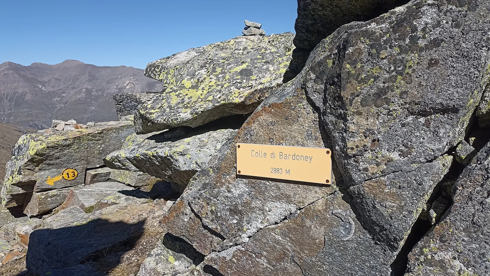
Alpe Bardoney (incrocio sentieri 12-13G)- Col de l'Arolla
5.3 km · +684 m · EE — from Alpe Bardoney (incrocio sentieri 12-13G) to Col de l'Arolla (Lys Valley).
Val di Cogne
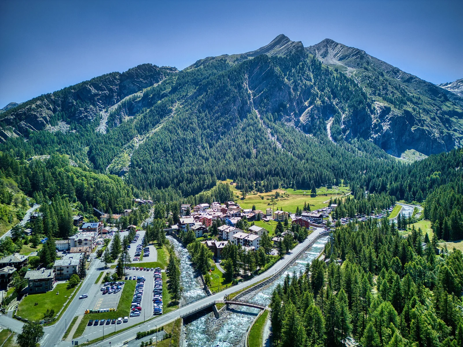
Antiche miniere di ferro di Colonna
3.8 km · +852 m · E — from Moline to Miniere di Colonna (Lys Valley).
Val di Cogne
Arpisson - Col Chasèche
2.3 km · +498 m · E — from Arpisson to Col Chasèche (Lys Valley).
Val di Cogne
Arrivo impianto risalita Chamolé- Tête Noire
1.4 km · +497 m · E — from Arrivo impianto risalita Chamolé to Tête Noire (Lys Valley).