Chamin - Bivacco della Sassa
Map & route
GPX track — verify on the ground before hiking
Fitness level
Trail 10_S7 traverses the Valpelline in the municipality of Bionaz, climbing from Chamin at 1,732 m to the Bivacco della Sassa at 2,964 m: 7.1 km and 1,246 m of ascent, rated E (CAI scale). The Bivacco della Sassa at nearly 3,000 m requires solid preparation despite the E rating. The Valpelline is a comparatively quiet valley that gives this route a more solitary, immersive alpine character. Season: June to September.
Getting there
Parking
Photo gallery
Photos are published immediately. JPG/PNG/WebP, max 6 MB.
Flora along the trail
Wildlife to spot
ACurated and verified by Andrea Rama
Data source: Catasto Sentieri Regione Autonoma VdA · Open data — DGR 899/2014
Last verified:
Valpelline
Related trails
Same valley or similar routes — more hikes to explore.
Valpelline
Bionaz (Plan Praz) - Place Moulin
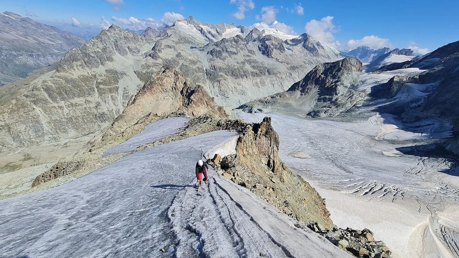
Upper Valpelline, Bionaz: an E-rated route toward a glacial objective over open terrain.
Valpelline
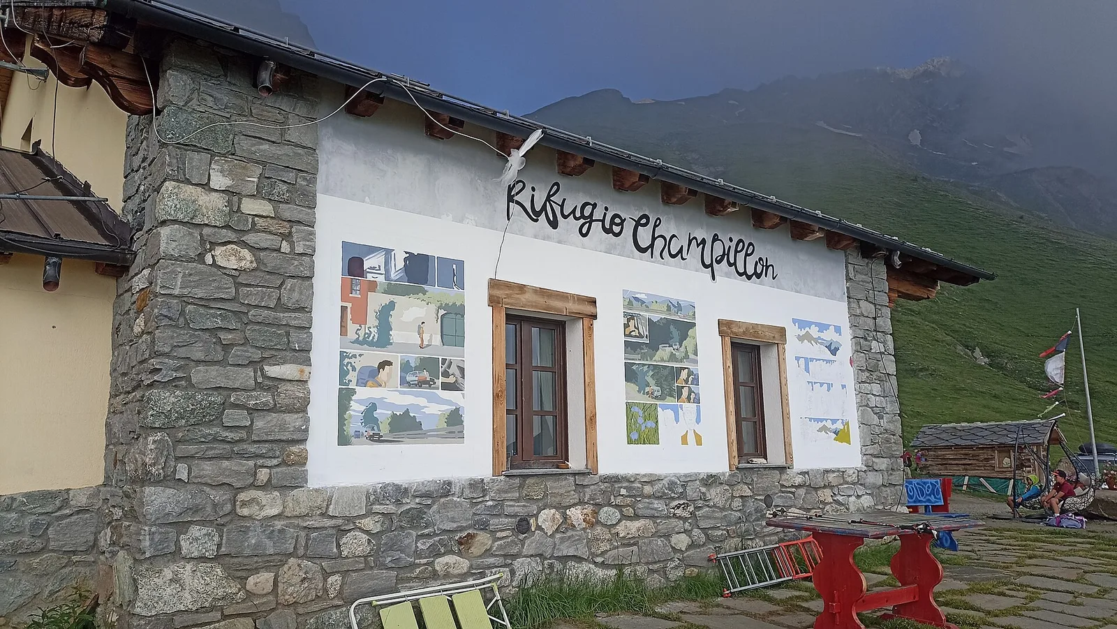
Champillon - Rifugio Letey - Col Champillon
3.1 km · +643 m · E — from Champillon to Col Champillon (Valtournenche).
Valpelline
Chanté - Mont Saron
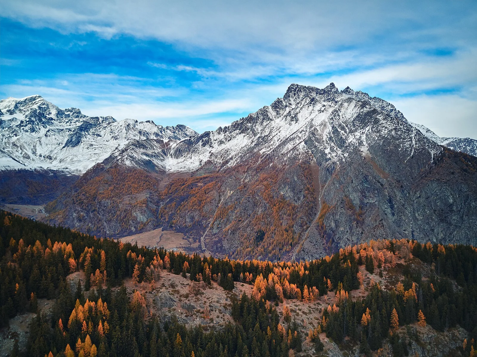
From Allein toward Valpelline across the panoramic ridge between the two valleys: an E-rated route over open pastures with views of the Gran San Bernardo.
Valpelline
Chez-Chenoux - Alpe Chardonney
From Chez-Chenoux the trail quickly clears the forest belt and opens onto the Comba di Vertsan pastures, climbing to the ruins of Alpe Chardonney (2519 m) in the quiet upper Valpelline.