Chamois-Col Pilaz
Warnings
- In fog the path across pastures and boulder fields can be hard to follow: rely on waymarks and a map.
- Always check the forecast before setting out: mountain weather changes fast and summer afternoon storms are common.
Map & route
GPX track — verify on the ground before hiking
Fitness level
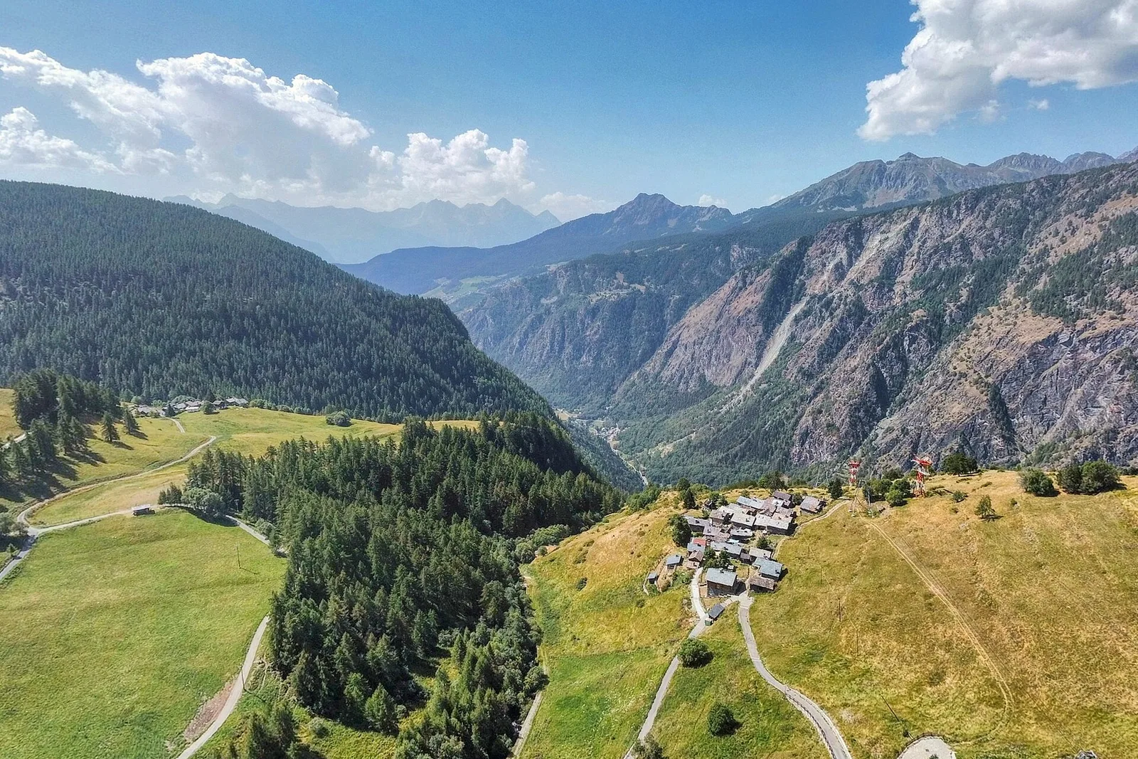
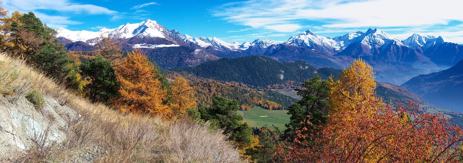
Chamois (1812 m) is Italy's only car-free municipality, reachable solely on foot or by cable car from Buisson — a village genuinely apart from modern infrastructure. From here a gentle 3.1 km trail gains just 220 m to Col Pilaz (1966 m), rated T (tourist). The path traverses open pastures and clearings, gradually revealing sweeping views over the central Aosta Valley, the Gran Paradiso group and, on clear days, the Mont Blanc massif. The easy gradient makes it ideal for families with children or first-time Alpine walkers. Well-signed throughout.
Getting there
Parking
Photo gallery
Photos are published immediately. JPG/PNG/WebP, max 6 MB.
Flora along the trail
ACurated and verified by Andrea Rama
Data source: Catasto Sentieri Regione Autonoma VdA · Open data — DGR 899/2014
Last verified:
Valtournenche
Related trails
Same valley or similar routes — more hikes to explore.
Valtournenche
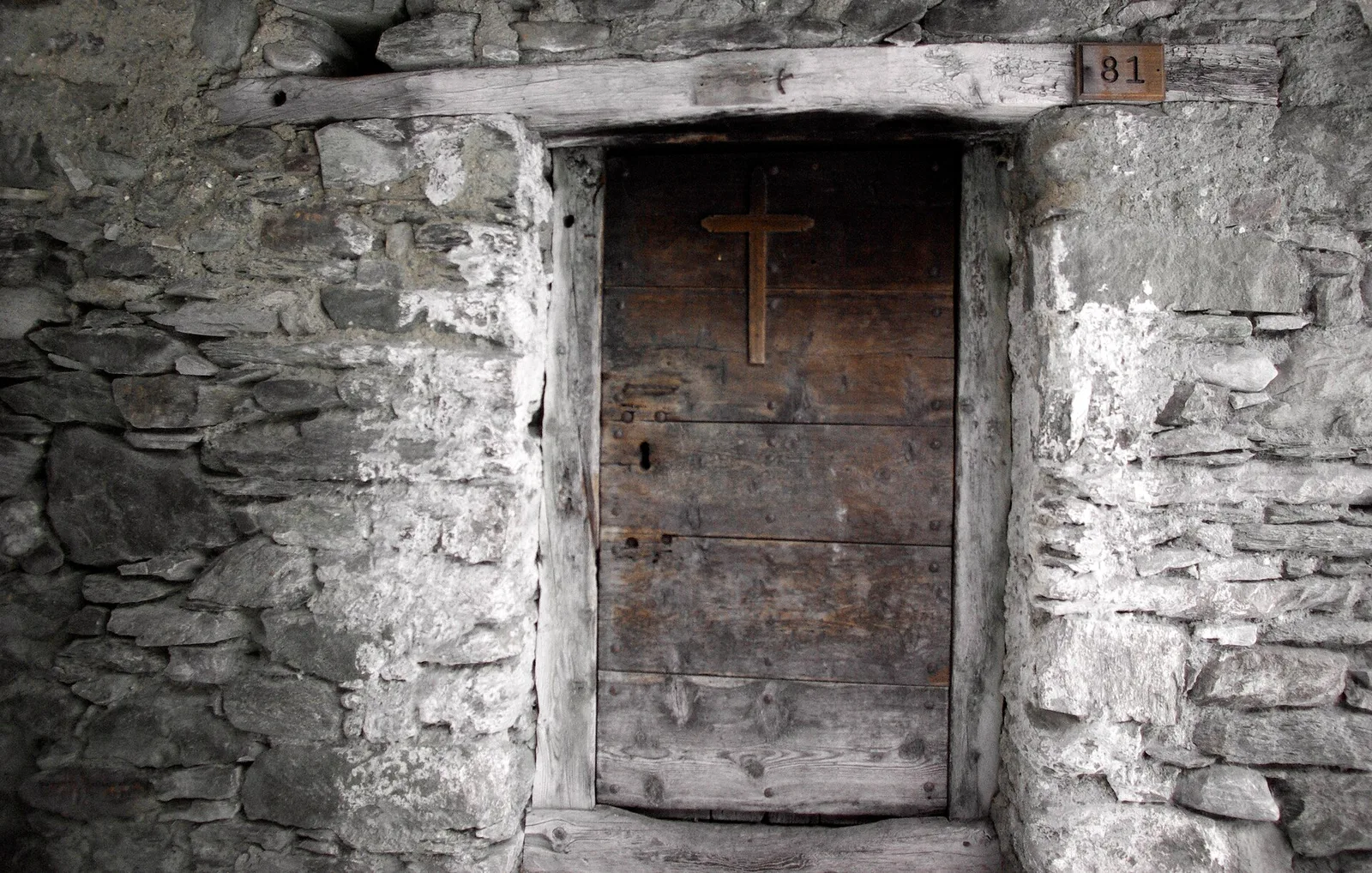
Anello Area sportiva-Fiernaz-Area sportiva
2.9 km · +28 m · T — from Area sportiva to Area sportiva (Valtournenche).
Valtournenche
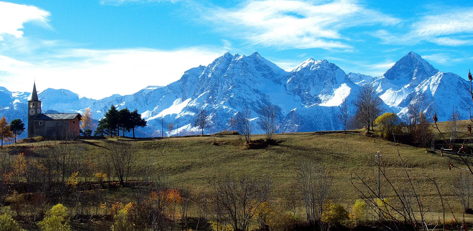
Anello dei Villaggi di Antey ( Ruvère, Liesse,Fontaney, Villettaz)
A loop through the sunlit hamlets of Antey and Torgnon: traditional Aosta Valley architecture, vineyards and mid-mountain forest, 5.2 km from Ruvère.
Valtournenche
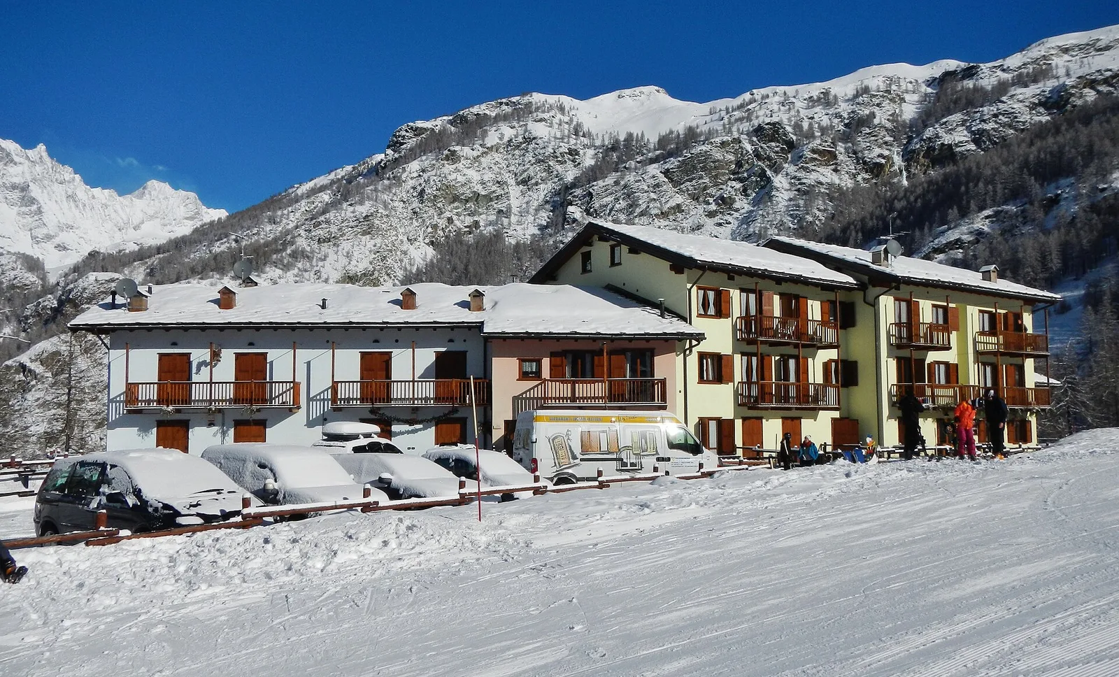
Anello di Champlève
1.9 km · +140 m · E — from Champlève to Champlève (Central Valley).
Valtournenche
Area Pic Nic Champlong - Becca d'Aver e Cima Longhede
6.4 km · +913 m · E — from Area Pic Nic Champlong to Cima Longhede (Valsavarenche).