Veulla - Lago Serva - Gran lago
Warnings
- High-altitude route: start early, plan time and water, and turn back before early afternoon.
- In fog the path across pastures and boulder fields can be hard to follow: rely on waymarks and a map.
- Always check the forecast before setting out: mountain weather changes fast and summer afternoon storms are common.
Map & route
GPX track — verify on the ground before hiking
Fitness level
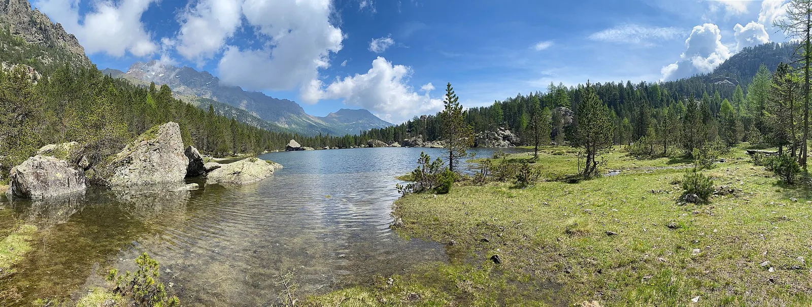
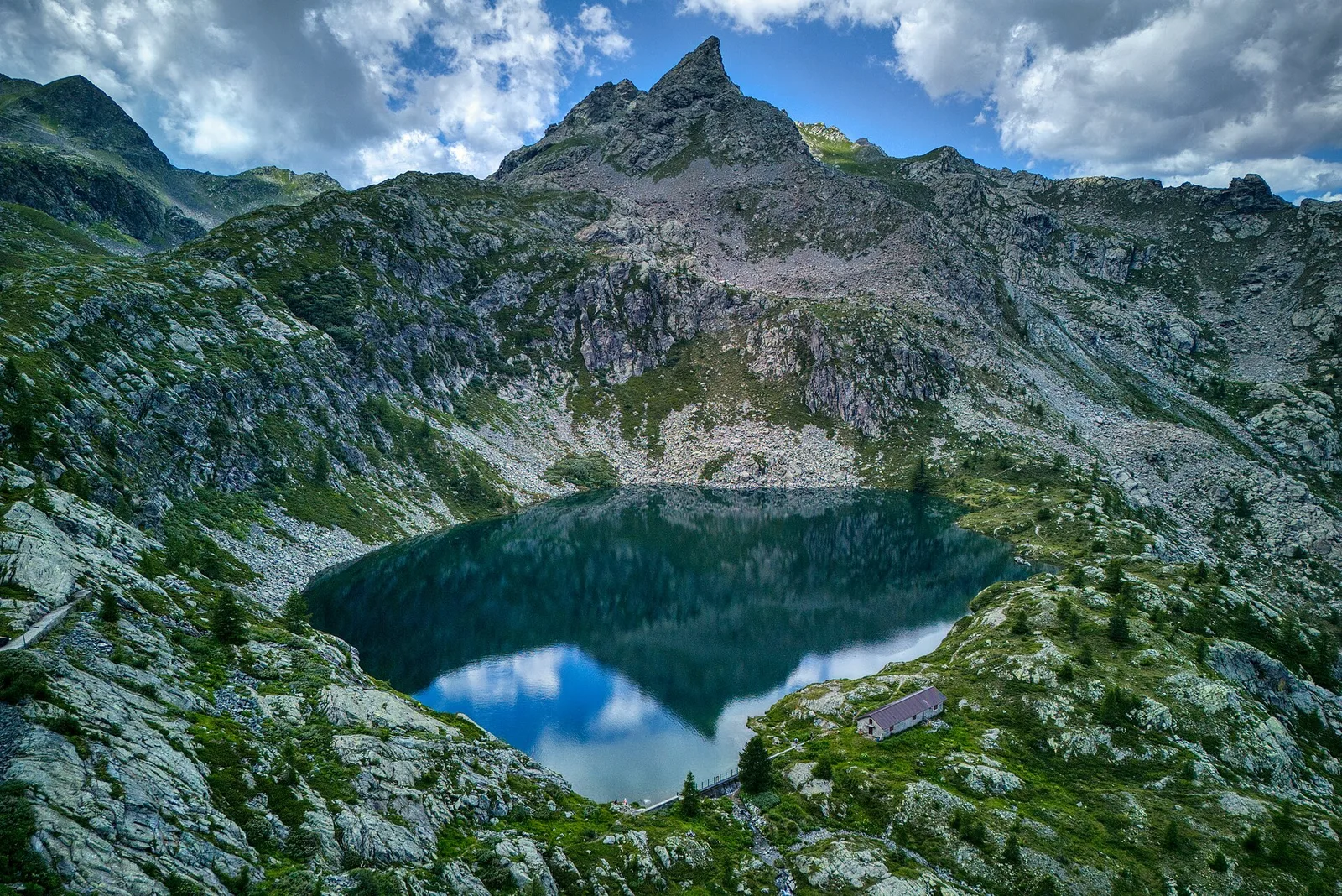
An 11.1 km full-day route from Veulla at 1286 m to Gran Lago at 2539 m, passing the beautiful Lago Serva on the way. Starting in partially wooded terrain, the path climbs through summer pastures and rocky high-altitude zones, with larches giving way to rhododendron heath and scree. The Gran Lago rewards the 1272 m of total elevation gain with striking blue waters and a sweeping panorama over the central Aosta Valley. Suitable for experienced, fit hikers only.
Getting there
Parking
Photo gallery
Photos are published immediately. JPG/PNG/WebP, max 6 MB.
Flora along the trail
Wildlife to spot
ACurated and verified by Andrea Rama
Data source: Catasto Sentieri Regione Autonoma VdA · Open data — DGR 899/2014
Last verified:
Valle di Champorcher
Related trails
Same valley or similar routes — more hikes to explore.
Valle di Champorcher
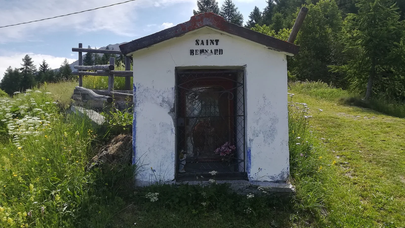
Barche - Plan Clavalité - Grand Alpe
13.9 km · +1540 m · E — from Barche to Grand Alpe (Lys Valley).
Valle di Champorcher
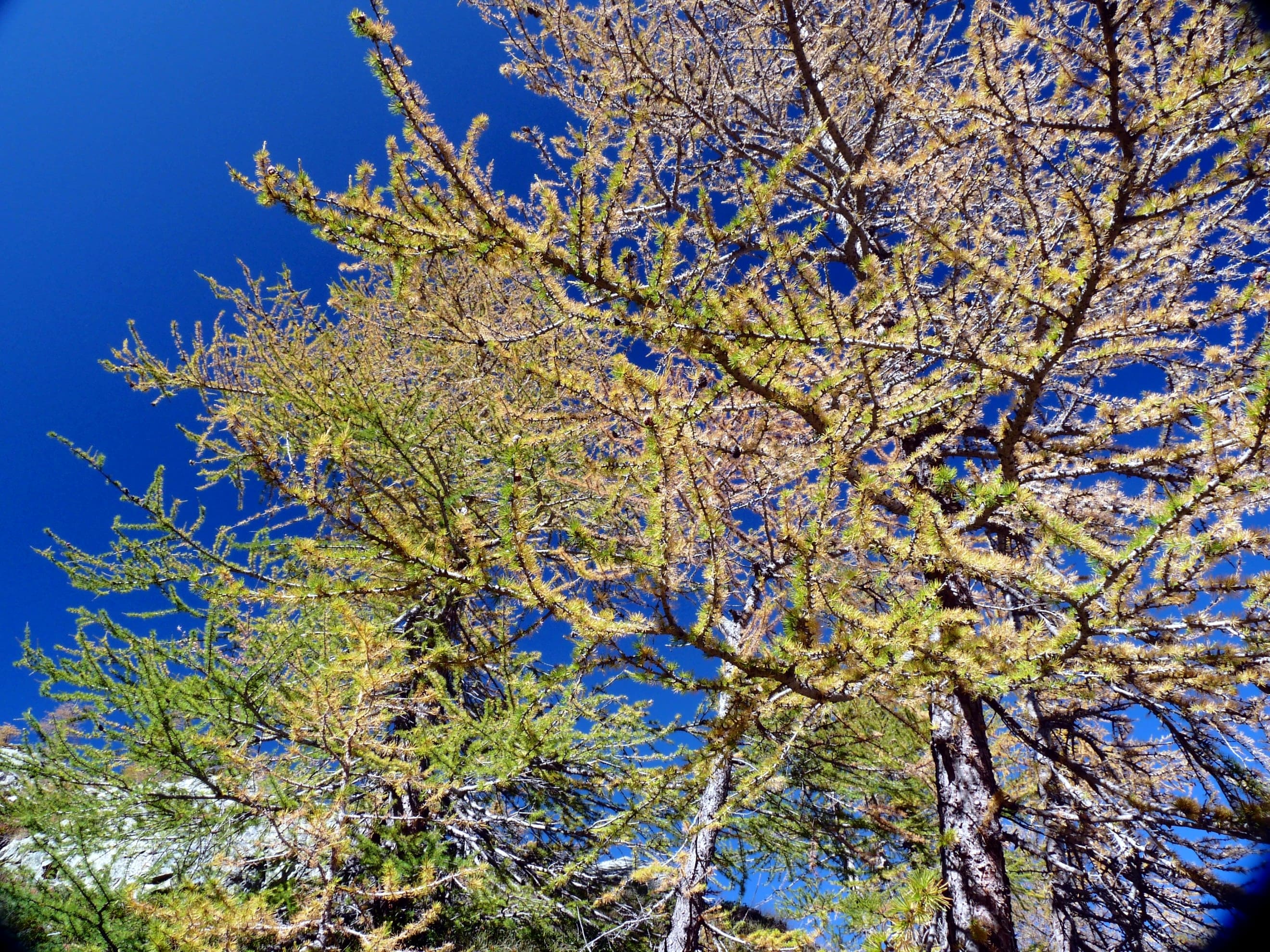
Castagnot - Col de Pofouey
3.8 km · +903 m · E — from Castagnot to Colle d'Arcomy (Central Valley).
Valle di Champorcher
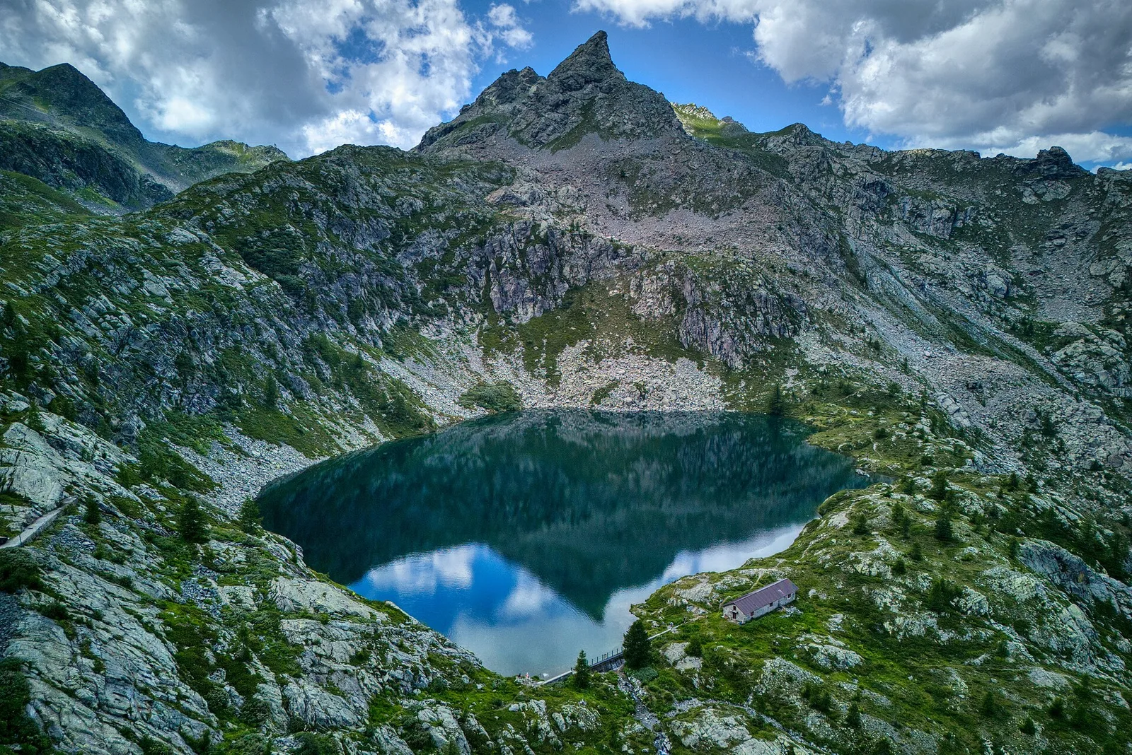
Champorcher - Col de la Fricolla
8.8 km · +1350 m · EE — from Champorcher to Col de la Fricolla (Valtournenche).
Valle di Champorcher
Champorcher - Col Laris
10.1 km · +1406 m · E — from Champrocher to Col Laris (Valtournenche).