Parcheggio Dondena - Col Pontonnet
7.7 km
+812 m
−0 m
4 h
Fitness level
Elevation profile
Map & route
Download GPXGPX track — verify on the ground before hiking
Description
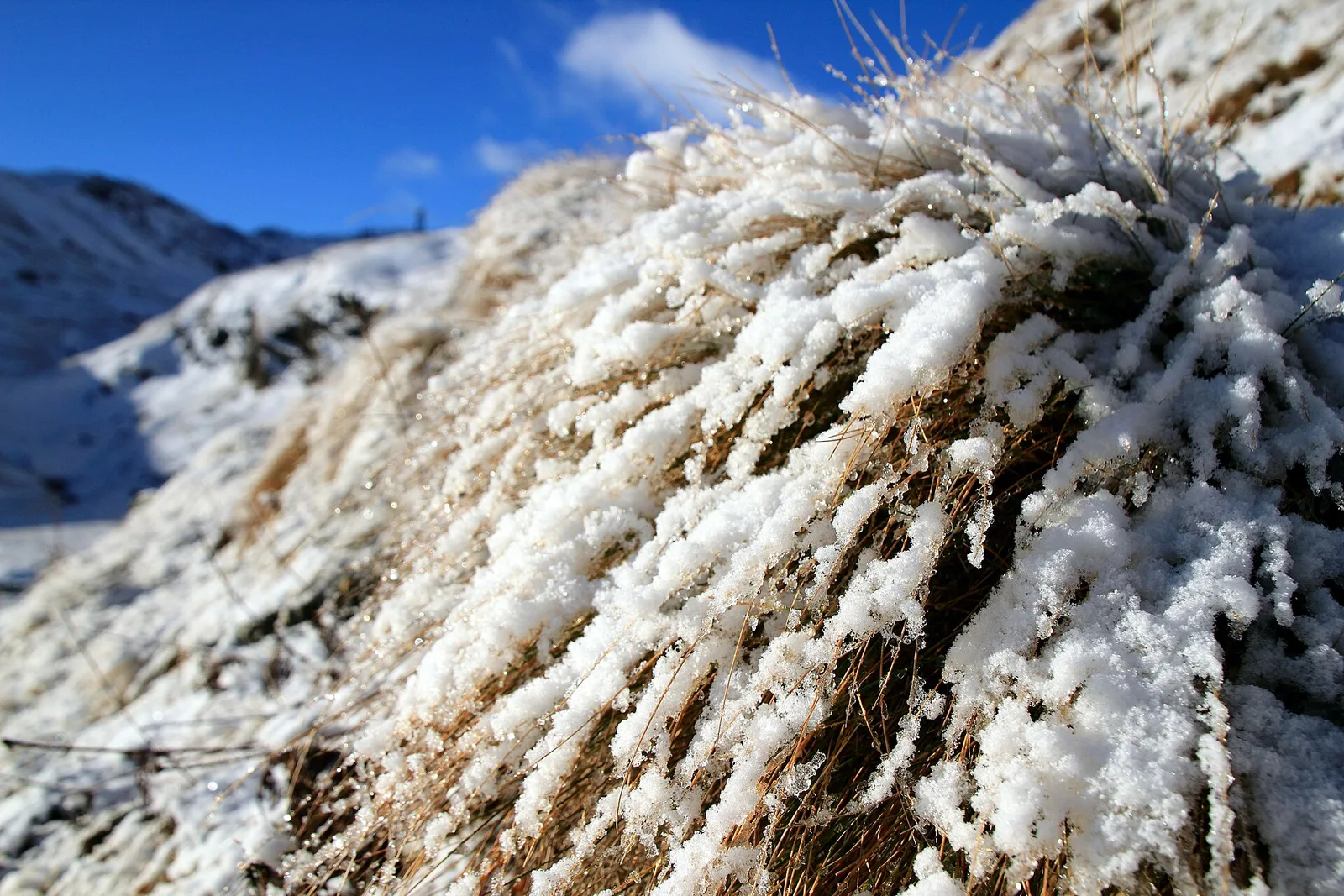
Parcheggio Dondena - Col Pontonnet is an official trail from the Aosta Valley trail registry (code 18_S35). The route lies in the municipality of Châtillon, in the Valtournenche. From Parcheggio Dondena (2103 m) to Col Pontonnet (2897 m): 7.7 km with +812 m of elevation change, difficulty E (CAI scale). Minimum elevation 2103 m, maximum 2897 m. Recommended season per registry: giugno, luglio, agosto, settembre (months 6, 7, 8, 9). Waymarking: 8 segnavia recorded in the registry. GPX track and elevation data from Regione Autonoma Valle d'Aosta (open data DGR 899/2014).
Start & end
Start
Parcheggio Dondena
2103 m
Finish
Col Pontonnet
2897 m
ACurated and verified by Andrea
Data source: Catasto Sentieri Regione Autonoma VdA · Open data — DGR 899/2014
Last verified:
Valtournenche
Related trails
Same valley or similar routes — more hikes to explore.

Valtournenche
Anello Area sportiva-Fiernaz-Area sportiva
2.9 km · +28 m · T — from Area sportiva to Area sportiva (Valtournenche).

Valtournenche
Anello dei Villaggi di Antey ( Ruvère, Liesse,Fontaney, Villettaz)
5.2 km · +456 m · E — from Ruvère to Ruvère (Valtournenche).

Valtournenche
Arlier - Cloutraz (Pontey)
3.5 km · +515 m · E — from Arlier to Cloutraz (Valtournenche).

Valtournenche
Balconata dal Belvedere al lago di San Grato
4.9 km · +705 m · E — from Bois de Grillet to Lago di San Grato (Valtournenche).