TAPPA 05: Planaval - Rifugio Chalet de l'Epée
12.3 km
+998 m
−0 m
5.5 h
Fitness level
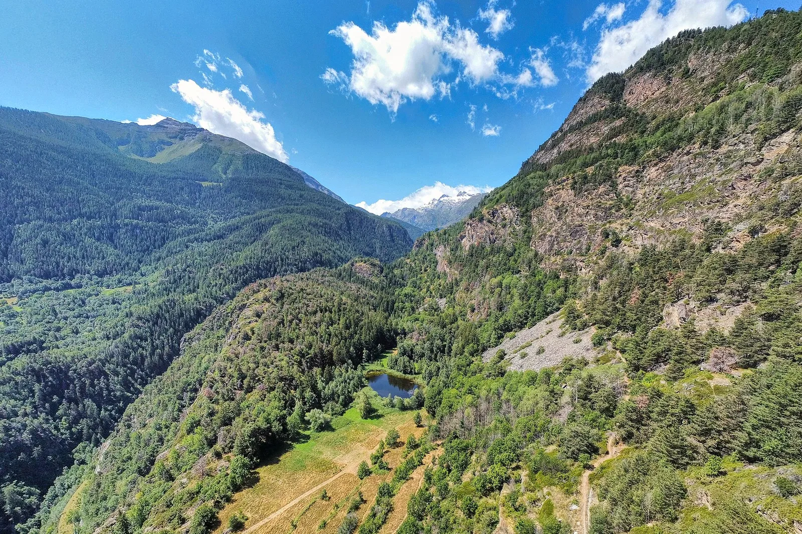
Elevation profile
Map & route
Download GPXGPX track — verify on the ground before hiking
Description
TAPPA 05: Planaval - Rifugio Chalet de l'Epée is an official trail from the Aosta Valley trail registry (code AV2_S5). The route lies in the municipality of Arvier, in the Valgrisenche. From Planaval (1545 m) to Rifugio Chalet de l'Epée (2366 m): 12.3 km with +998 m of elevation change, difficulty E (CAI scale). Minimum elevation 1545 m, maximum 2366 m. Recommended season per registry: luglio-settembre (months 7, 8, 9). GPX track and elevation data from Regione Autonoma Valle d'Aosta (open data DGR 899/2014).
Start & end
Start
Planaval
1545 m
Finish
Rifugio Chalet de l'Epée
2366 m
ACurated and verified by Andrea
Data source: Catasto Sentieri Regione Autonoma VdA · Open data — DGR 899/2014
Last verified:
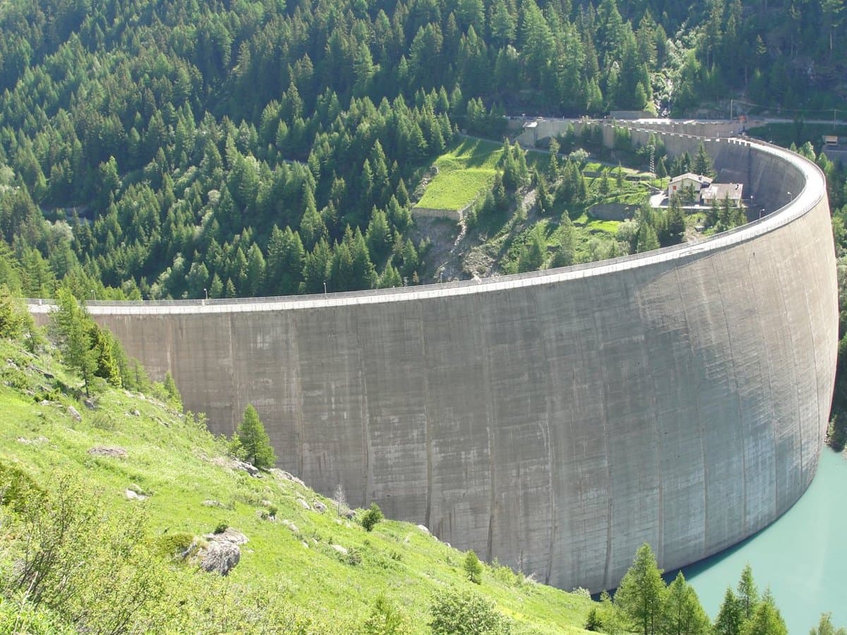
Valgrisenche
Related trails
Same valley or similar routes — more hikes to explore.
Valgrisenche
Bellon - Becca France - Tsa de la Comba
7.7 km · +1065 m · EE — from Bellon to Tsa de la Comba (Valgrisenche).
Valgrisenche
Chamin - Boregne
3.5 km · +585 m · E — from Chamin to Boregne (Valgrisenche).
Valgrisenche
Grand Haury - Boregne
5.8 km · +835 m · E — from Grand Haury to Boregne (Valgrisenche).
Valgrisenche
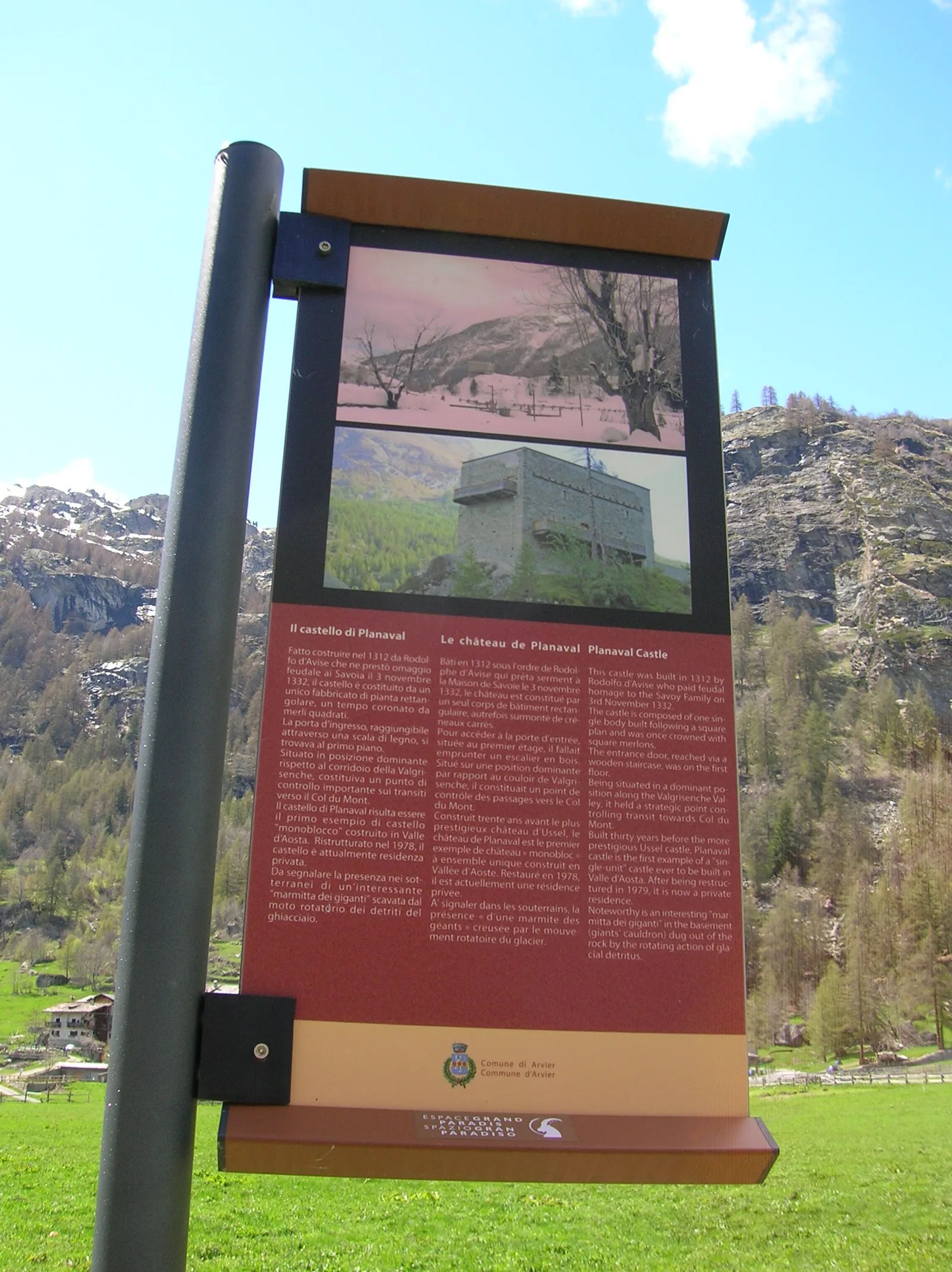
Grand Haury - Castello Montmayeur
0.8 km · +0 m · E — from Grand Haury to Castello Montmayeur (Valgrisenche).