
T
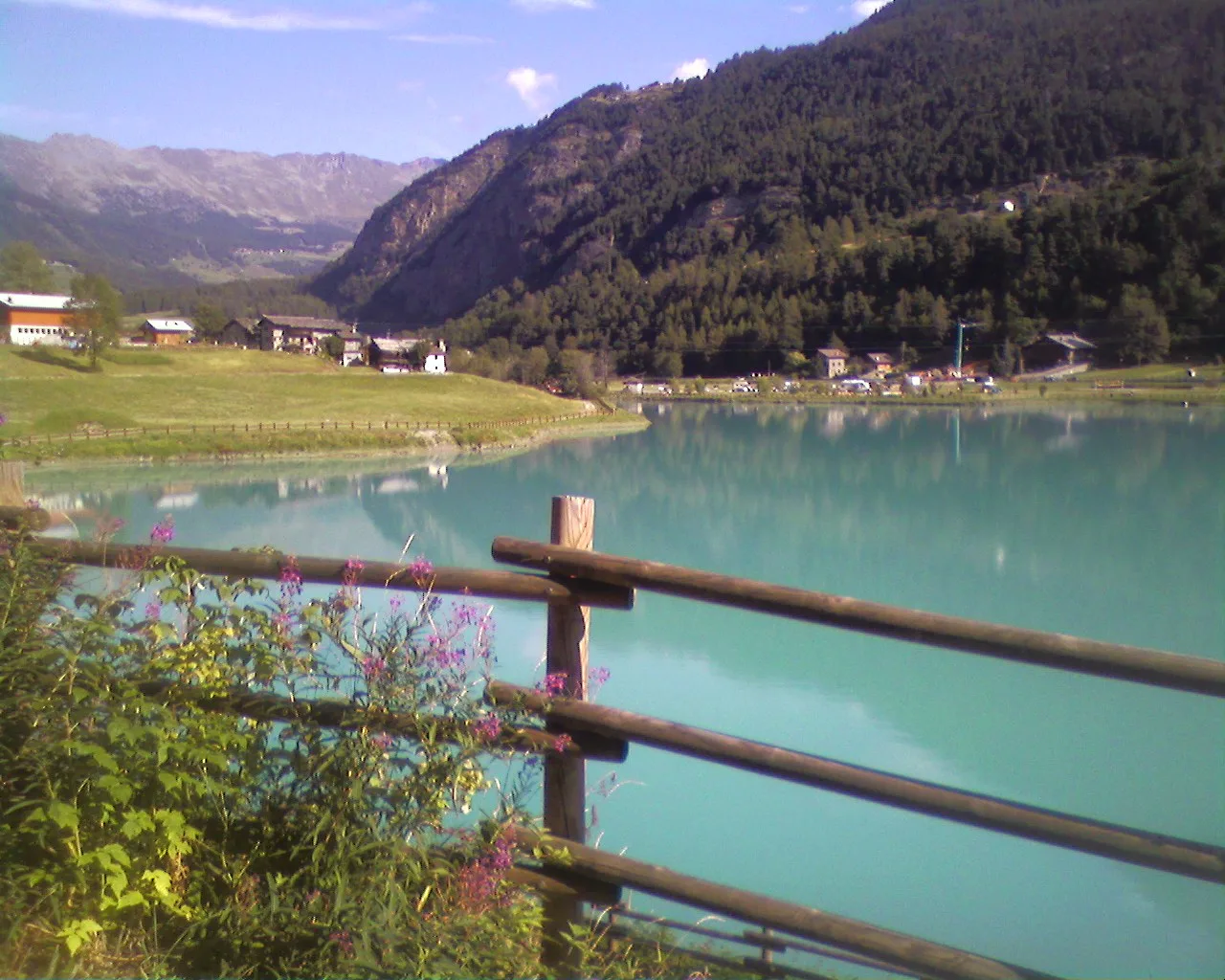
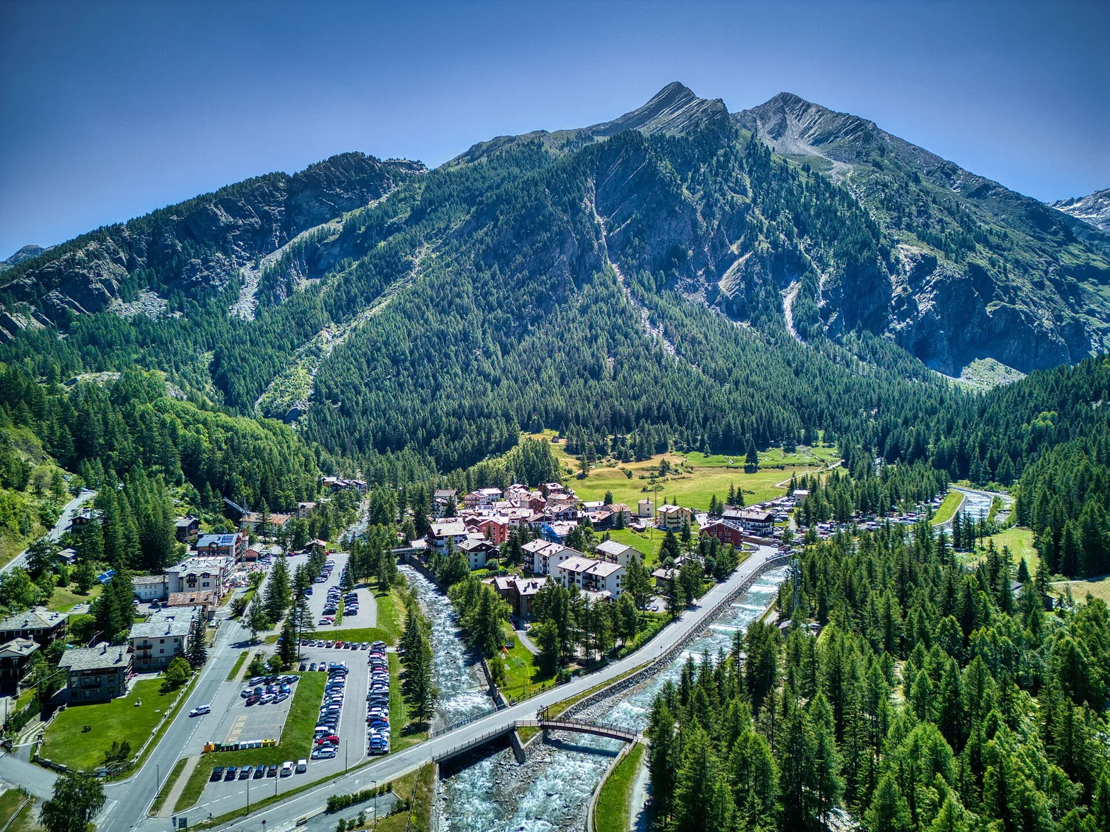
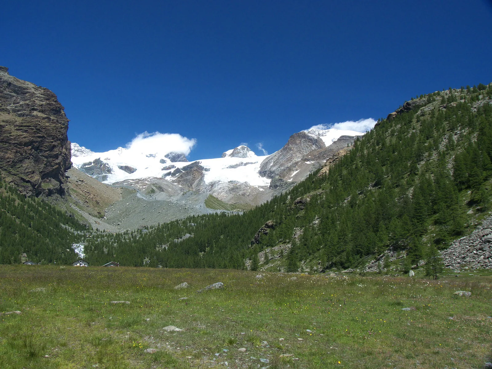
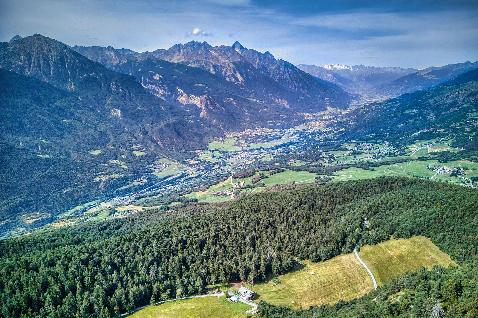
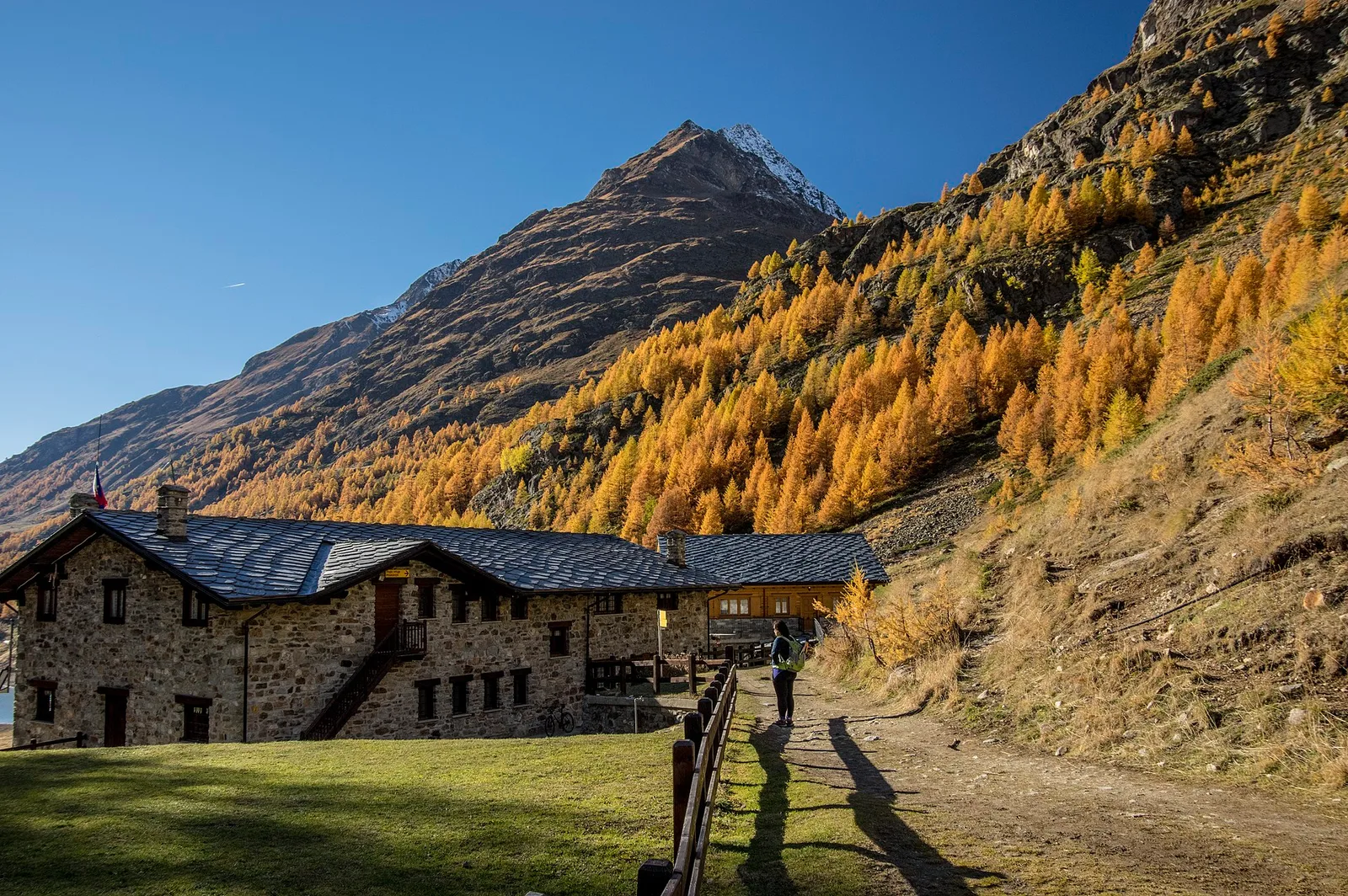
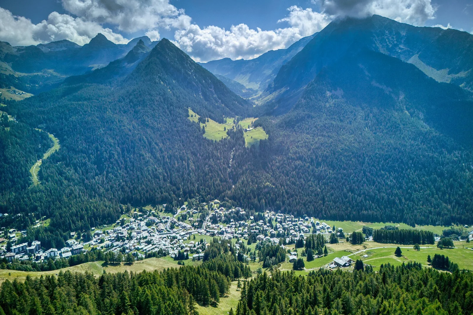
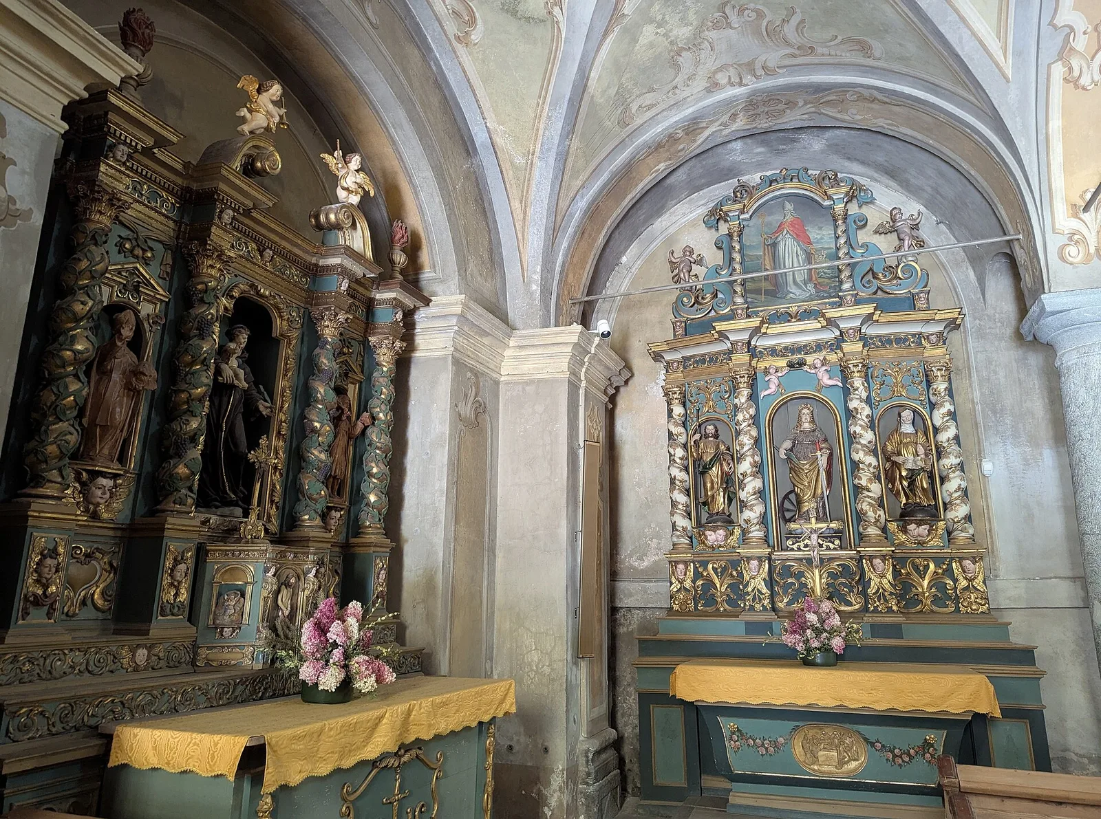
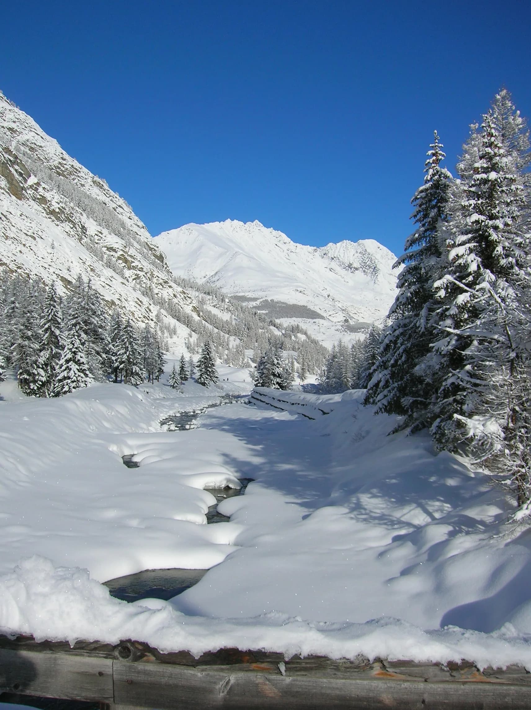
Valtournenche
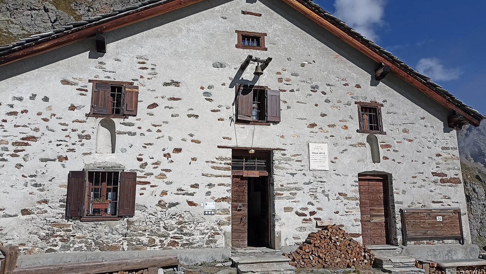
Anello Area sportiva-Fiernaz-Area sportiva
2.9 km · +28 m · T — from Area sportiva to Area sportiva (Valtournenche).
2.9 km+28 m1 h
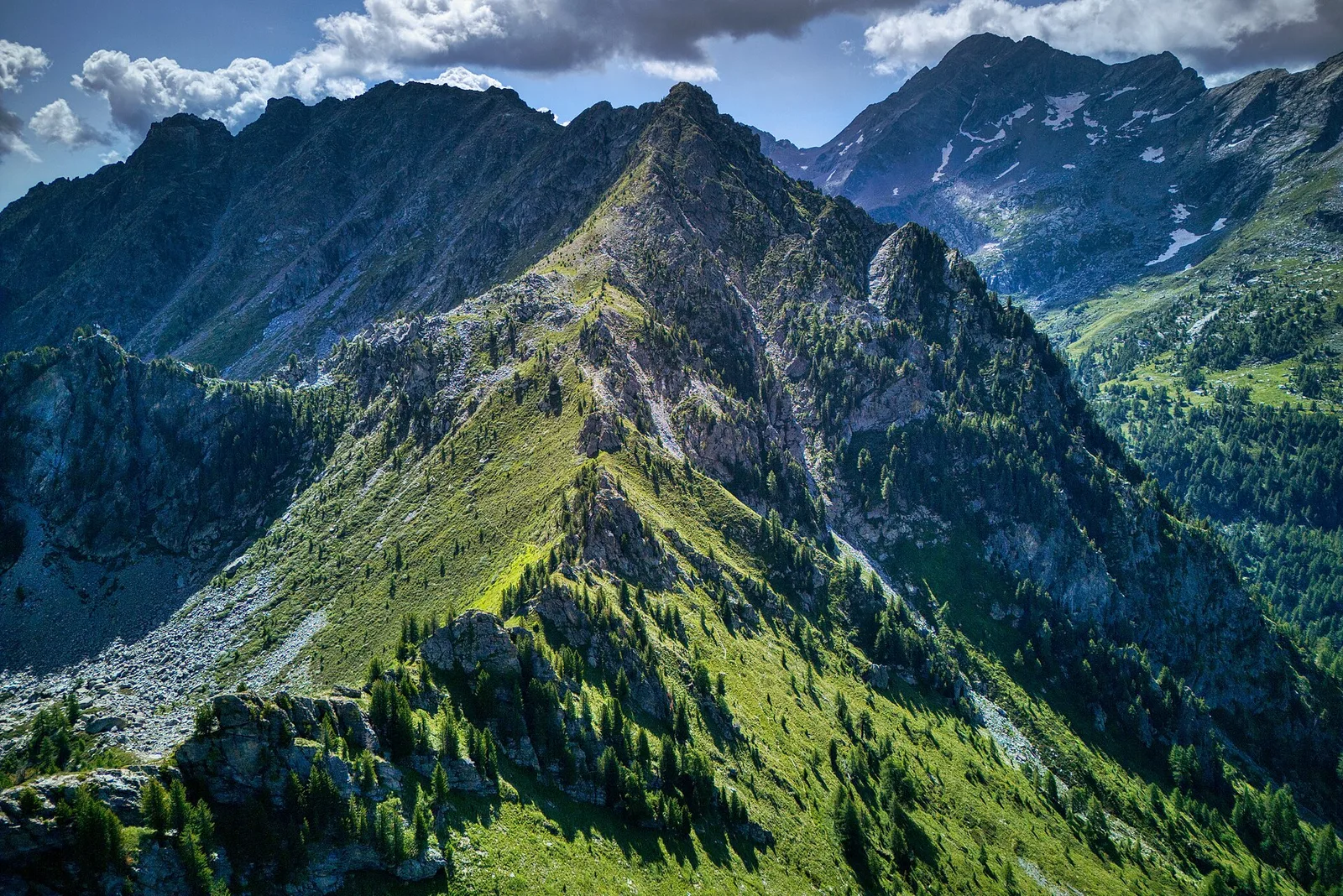
Trails by difficulty
38 trails rated easy · CAI T (CAI scale): T (Tourist), distances 0.8–17.4 km, elevation gain 0–1081 m.
38 · 0.8–17.4 km · +0–1081 m
Valtournenche
2.9 km · +28 m · T — from Area sportiva to Area sportiva (Valtournenche).
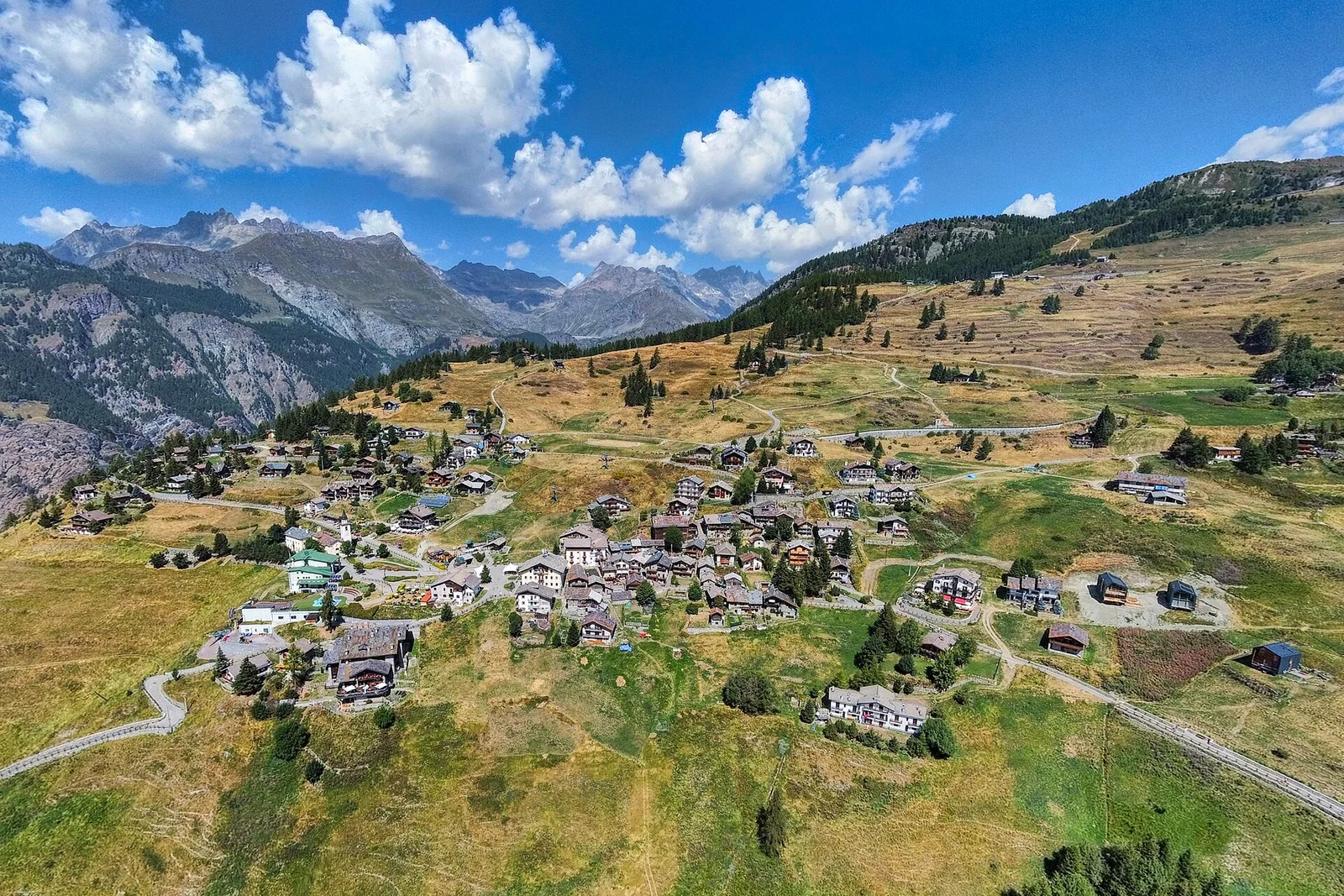
Val d'Ayas
3.6 km · +143 m · T — from Arcesaz to Strada regionale 33 nei pressi del torrente Evançon (Ayas Valley).
Valle centrale
1.8 km · +21 m · T — from N.D. to N.D. (Central Valley).
Valle del Gran San Bernardo
1.8 km · +74 m · T — from Chanavey to Bruil, Foyer de Fond (Great St Bernard Valley).
Valle del Lys
1.5 km · +89 m · T — from Chenière to Moulin (Lys Valley).
Valle del Lys
4.1 km · +218 m · T — from Capoluogo to Cascata di Lillaz (Lys Valley).
Valle del Lys
2.8 km · +170 m · T — from Capoluogo to Valnontey (Lys Valley).
Valle centrale
3.1 km · +121 m · T — from Col Saint-Charles to Lac d'Arpy (Central Valley).
Valle centrale
1.2 km · +71 m · T — from Col Saint-Charles to Tête d'Arpy (Central Valley).
Valle centrale
4.6 km · +262 m · T — from Champoluc to Résy (Central Valley).
Val d'Ayas
5.1 km · +233 m · T — from Fenille to Degioz (Ayas Valley).
Val d'Ayas
2 km · +441 m · T — from Pasquier to La Croix (Ayas Valley).

Val d'Ayas
2.8 km · +497 m · T — from Pasquier to La Croix (Ayas Valley).
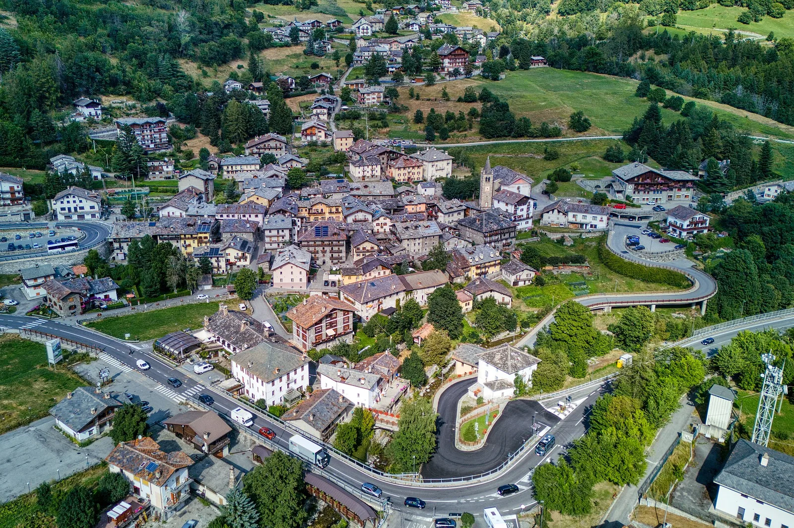
Valtournenche
4.4 km · +110 m · T — from Col di Joux to Col Tzecore (Valtournenche).
Valle centrale
2.4 km · +23 m · T — from Cappella di Saint-Pantaléon to Saint-Evence (Central Valley).
Valdigne
3.7 km · +112 m · T — from Strada dopo Veuillen to Corgnolaz (Valdigne).
Valsavarenche
1.3 km · +95 m · T — from Piazza del Municipio to Le tre Goye (Valsavarenche).
Valle centrale
3.3 km · +259 m · T — from Liarey to Chabodey (La Salle) (Central Valley).
Valle di Champorcher
4.7 km · +1081 m · T — from Ondrò Verdebio to Colle Valdobbia (Champorcher Valley).
Valle centrale
1 km · +176 m · T — from Periasc to Antagnod (Central Valley).
Valtournenche
4.7 km · +579 m · T — from Piazza E.Chanoux to Carogne (Valtournenche).
Valle del Lys
3.9 km · +226 m · T — from Piazzale Colletesand to Staffal (Lys Valley).
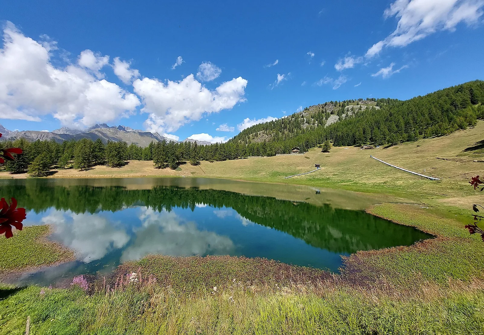
Valpelline
4.6 km · +0 m · T — from Place Moulin to Rifugio Prarayer (Valpelline).
Valle del Gran San Bernardo
5.2 km · +200 m · T — from Plan Ponquet to Visaille (giro dei tre ponti) (Great St Bernard Valley).
Val d'Ayas
1.1 km · +36 m · T — from Parcheggio Pont to Rifugio Tétras Lyre (Ayas Valley).
Valtournenche
1.5 km · +190 m · T — from Ponte Romano to Moron (Valtournenche).
Valle centrale
5.9 km · +0 m · T — from Parcheggio Barmasc to Inizio pista (Central Valley).
Valle centrale
1.8 km · +36 m · T — from LOU to Incrocio pista forestale (Central Valley).
Valle centrale
4.7 km · +0 m · T — from Confine comunale Aosta to Confine comunale Quart (Central Valley).
Valle del Gran San Bernardo
0.8 km · +34 m · T — from Saint-Oyen to Pallais dessous (Great St Bernard Valley).
Valle di Champorcher
4.3 km · +155 m · T — from Bivio Villa Margherita to Start 9 (Champorcher Valley).
Val d'Ayas
3.4 km · +294 m · T — from Strada per Estoul to Col Ranzola (Ayas Valley).
Val d'Ayas
6.3 km · +614 m · T — from Estoul to Rifugio Arp (Ayas Valley).
Valtournenche
1.5 km · +367 m · T — from Strada Statale 26 to Croix de Saint-Gilles (Valtournenche).
Val di Cogne
Approach in the heart of the Park: Cogne to Valnontey.

La Thuile
Return to La Thuile closing the Rutor loop.
Valpelline
17.4 km · +680 m · T — from Plan Porion to Plan Porion (Valpelline).
Valtournenche
1.4 km · +312 m · T — from Piazza R.Challand to Croix de Saint-Gilles (Valtournenche).