E
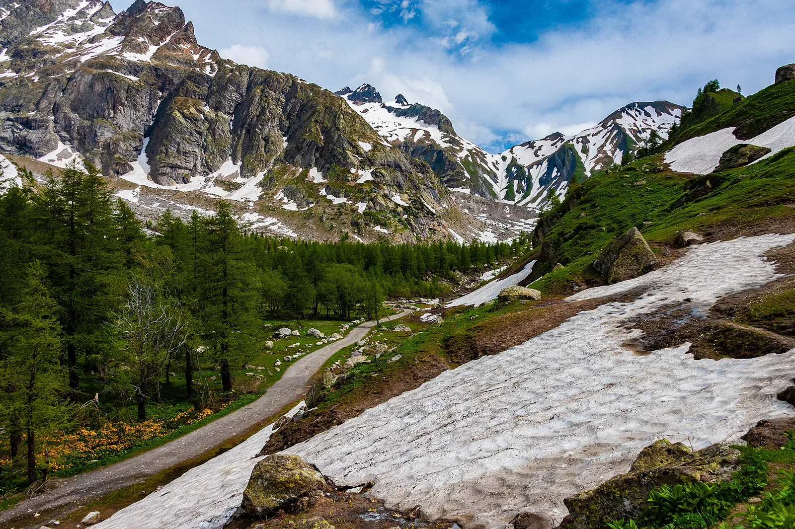
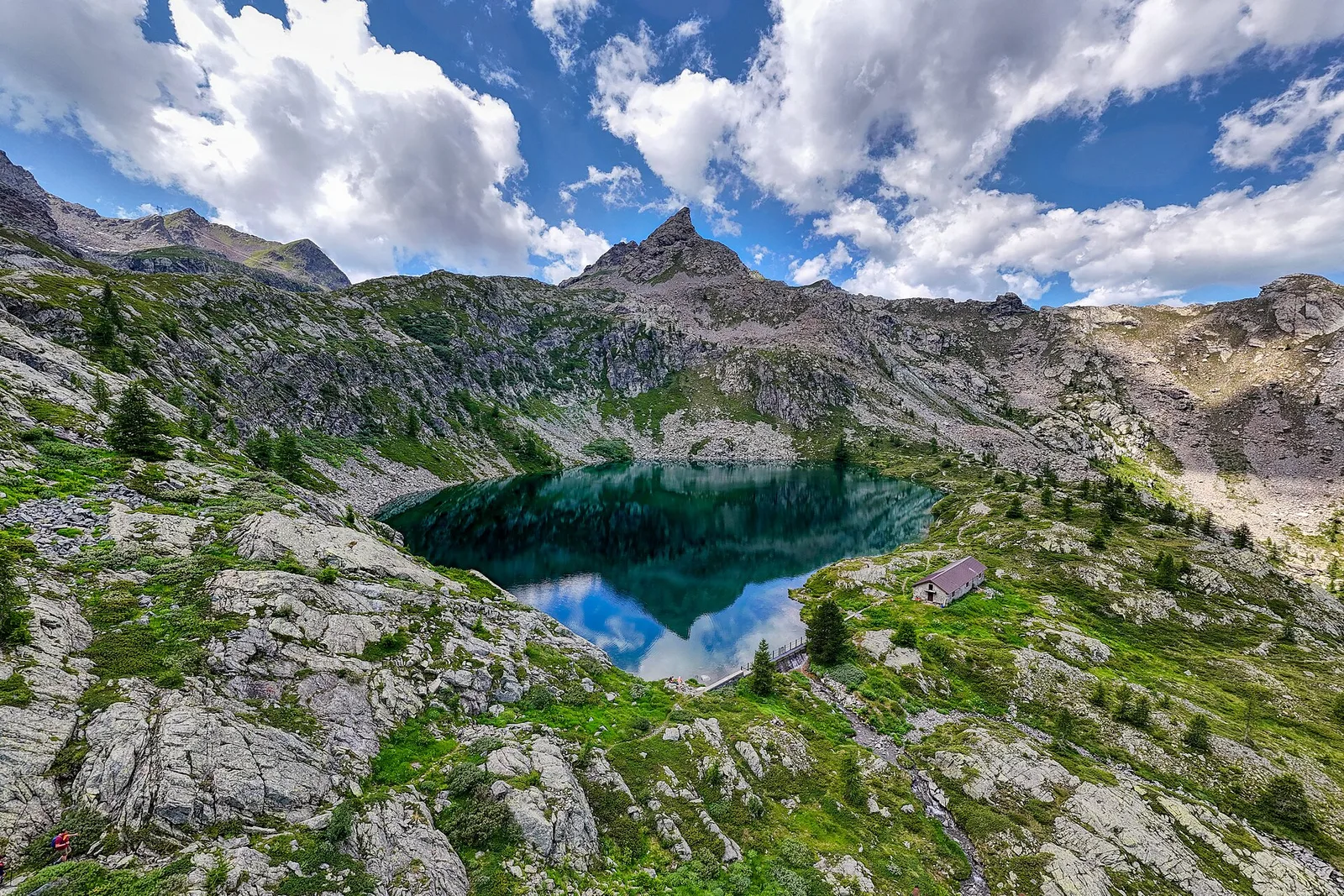
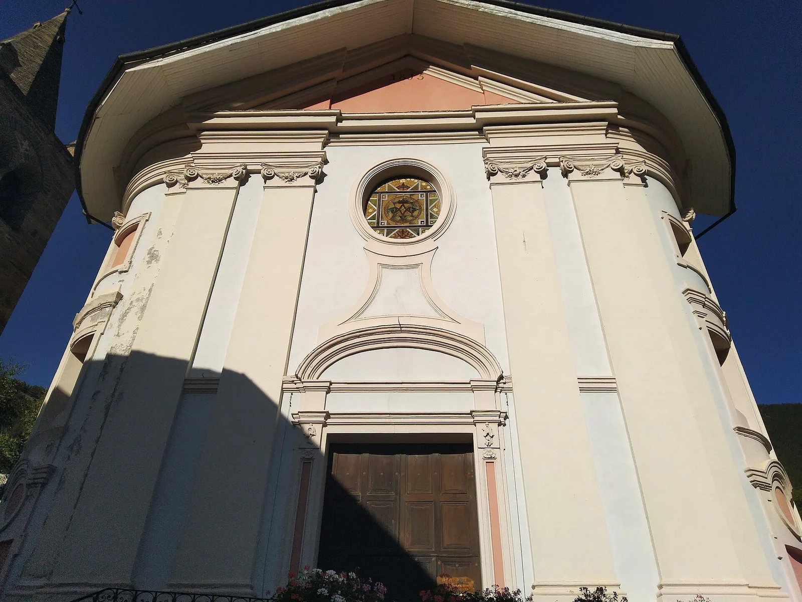
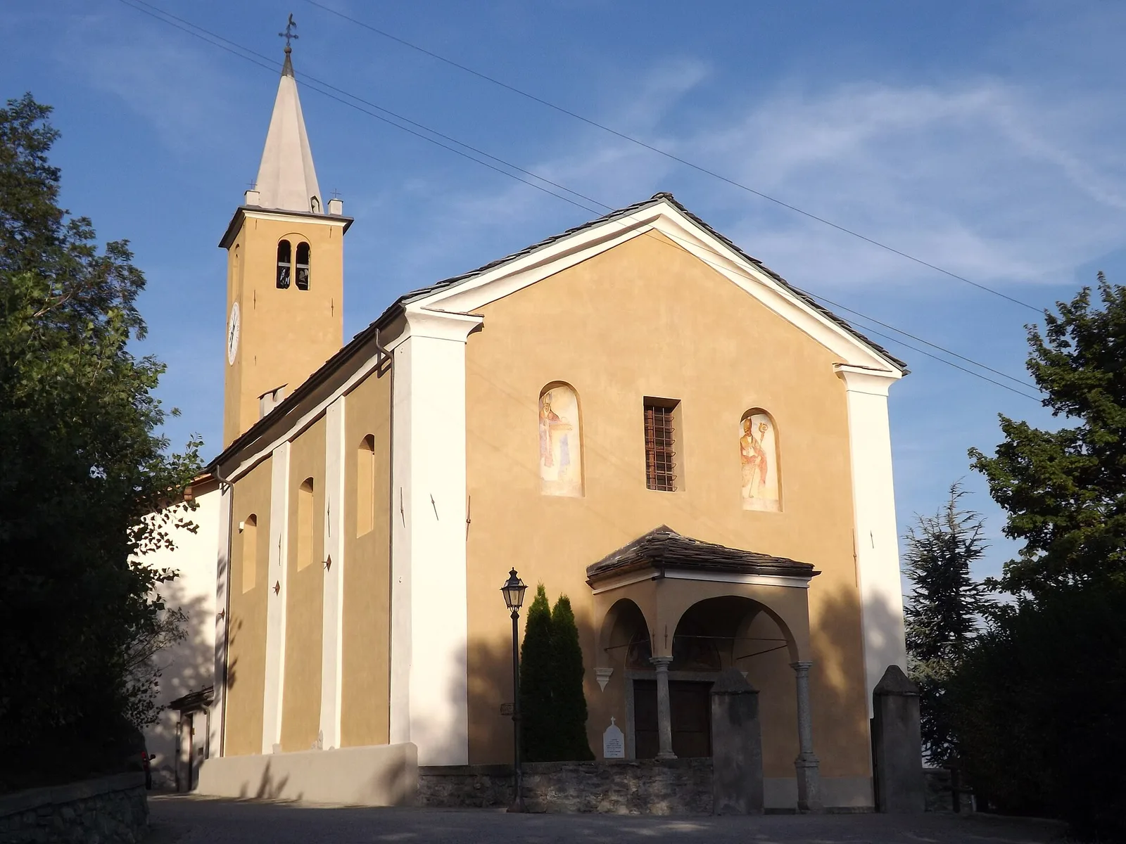
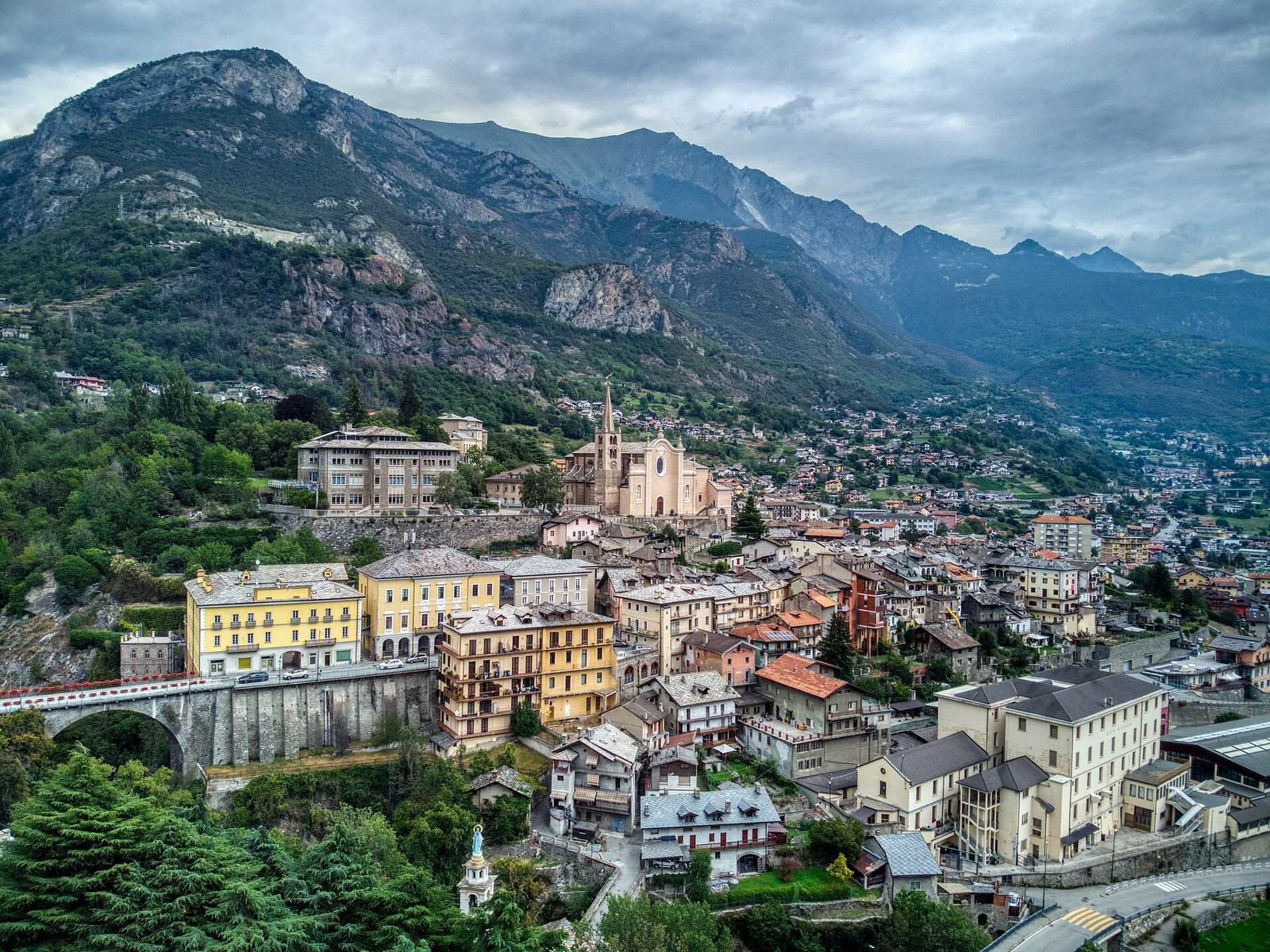
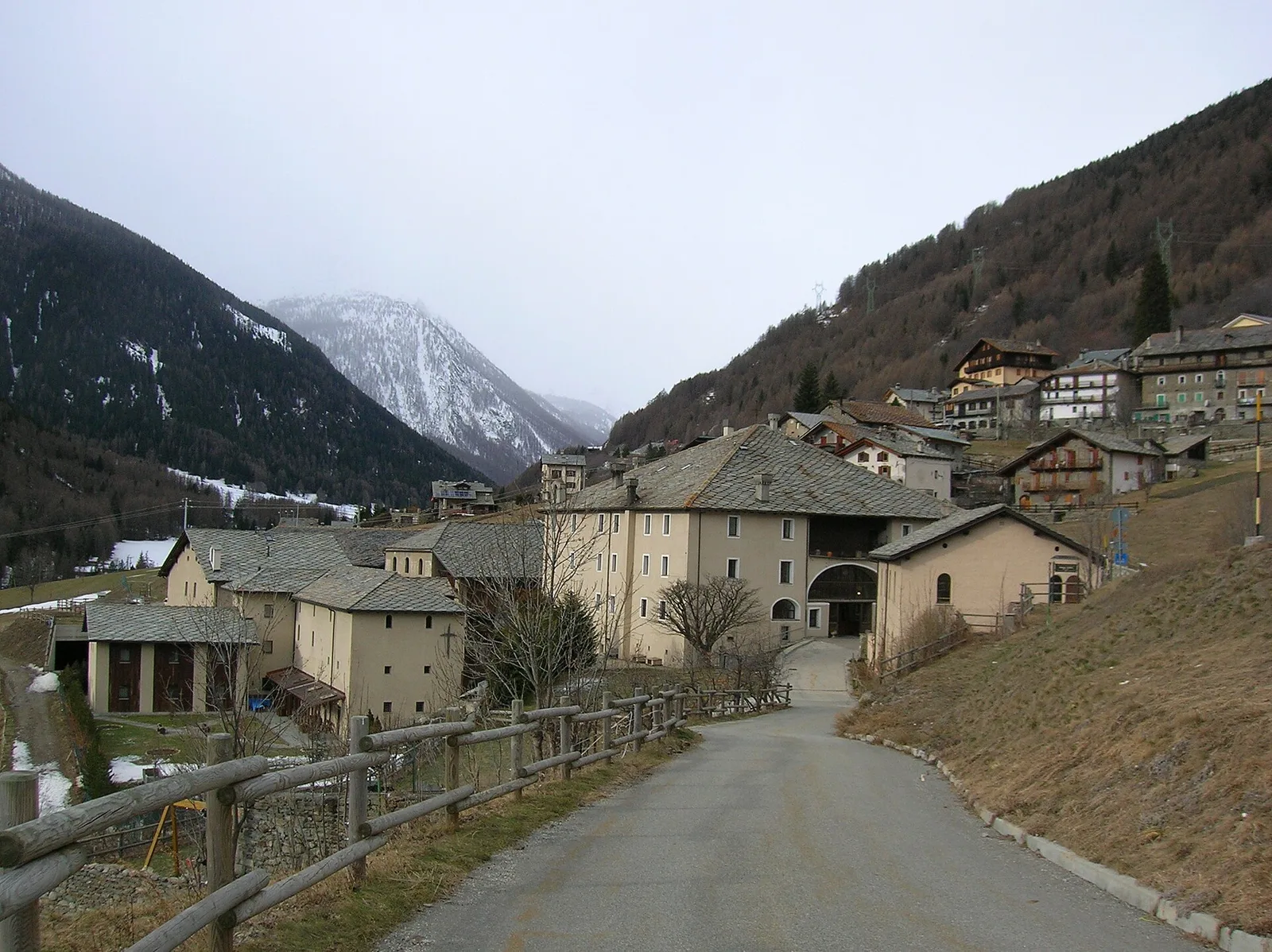
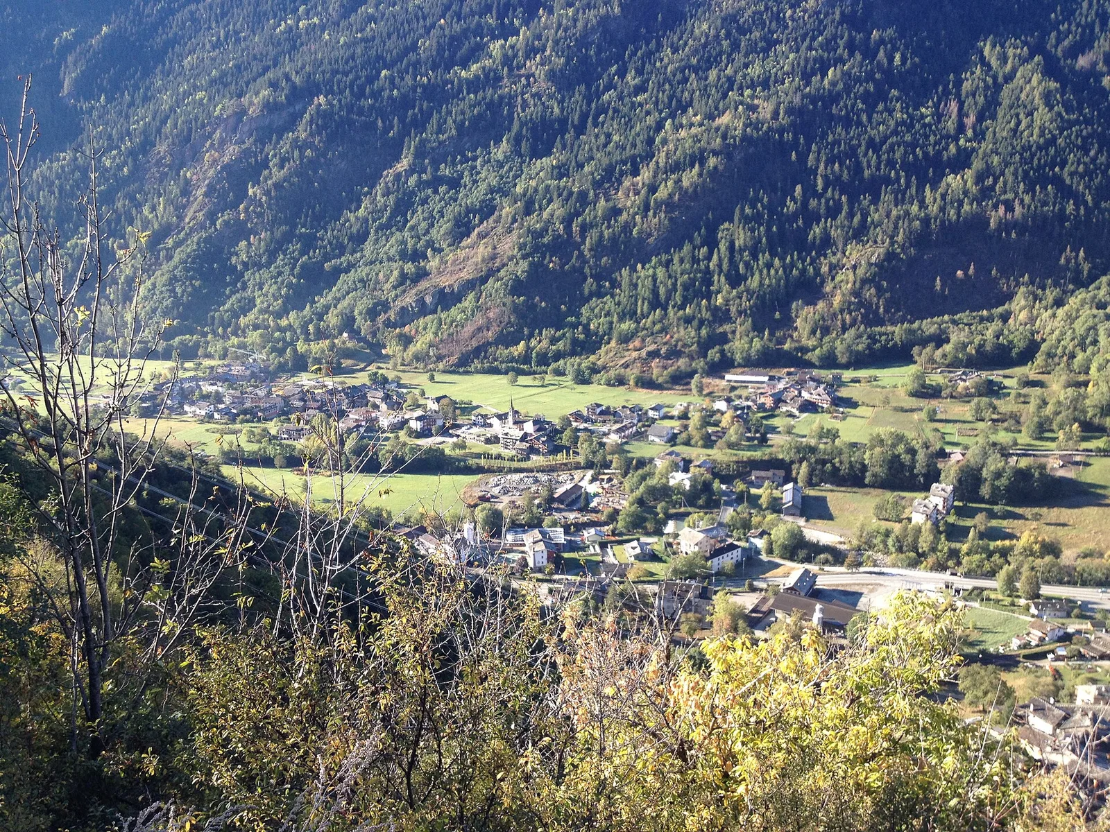
Val Ferret
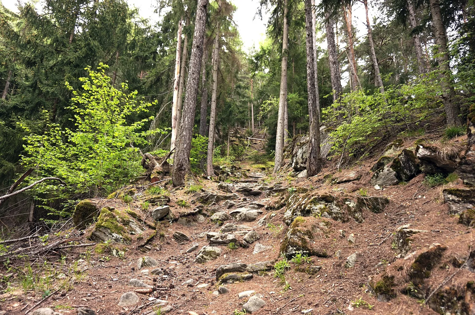
Arp Nouva - Rifugio Elena
2.2 km · +291 m · E — from Arp-Nouva to Rif Elena (Great St Bernard Valley).
2.2 km+291 m1.5 h
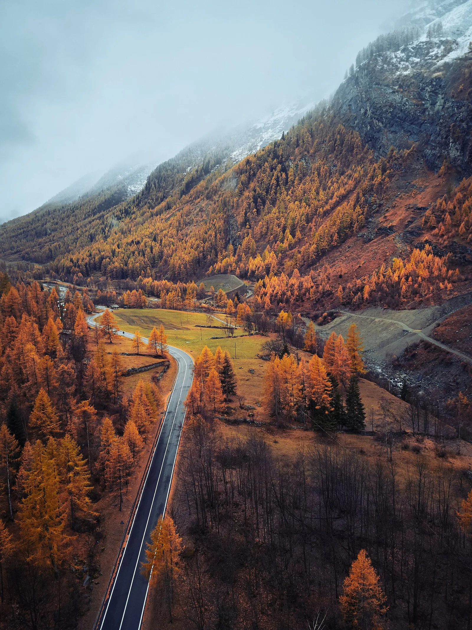
Where to spot
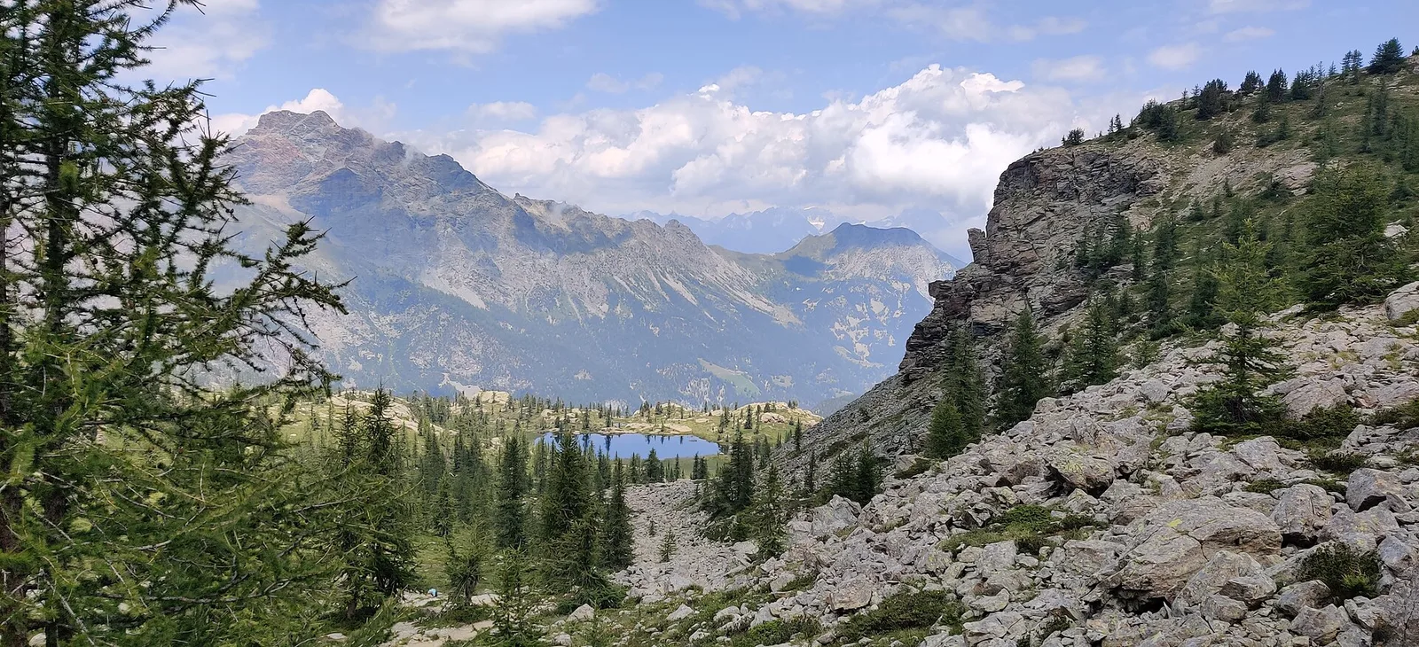
50 trails where Common bistort is listed in flora/fauna: difficulty T–EE, elevation gain 0–1540 m.
50 · 0.5–13.9 km · +0–1540 m
Val Ferret
2.2 km · +291 m · E — from Arp-Nouva to Rif Elena (Great St Bernard Valley).
Val di Rhêmes
2.9 km · +535 m · E — from Artalle to Chaussettaz (Great St Bernard Valley).

Valle di Champorcher
13.9 km · +1540 m · E — from Barche to Grand Alpe (Lys Valley).
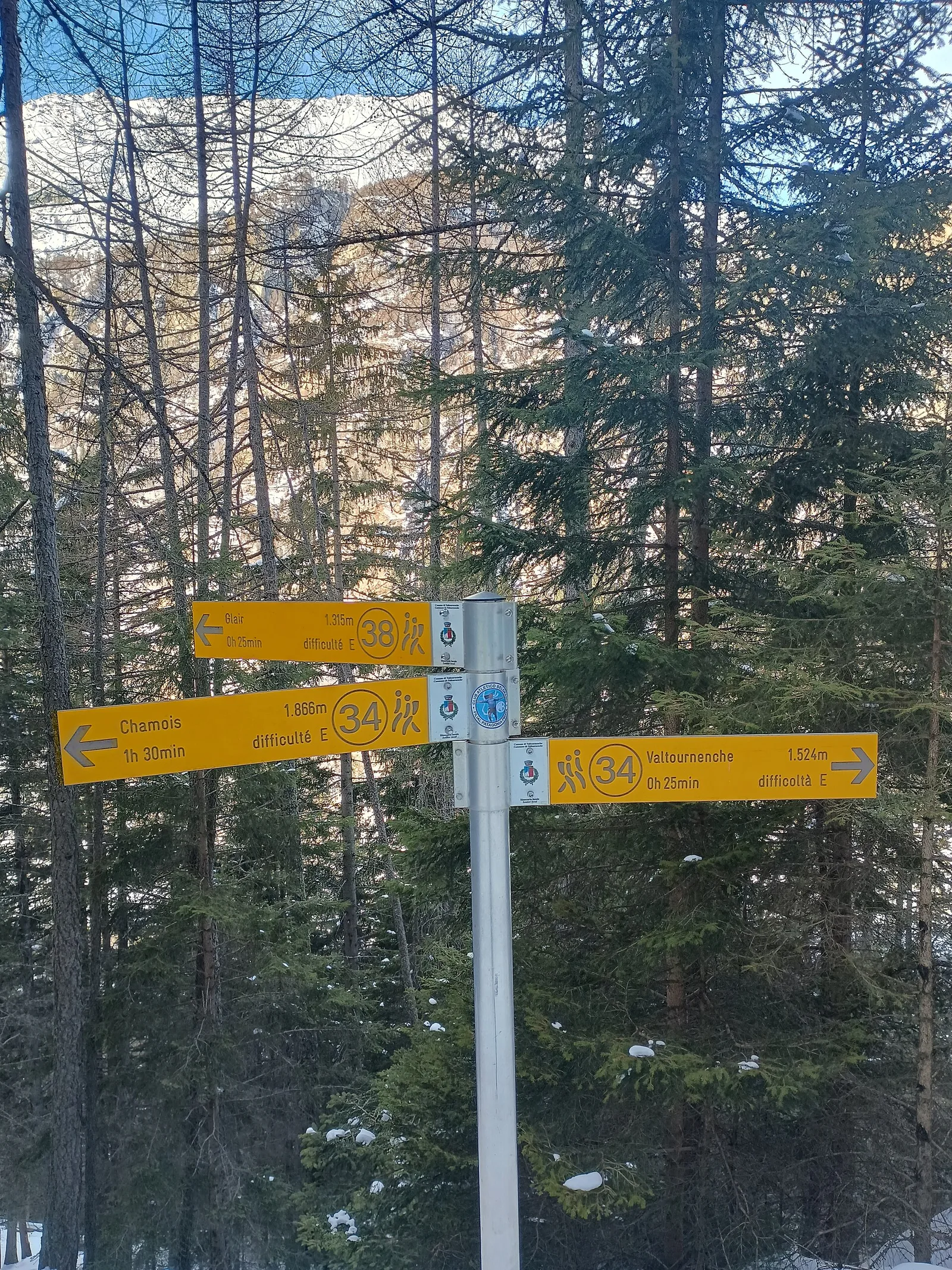
Valtournenche
1.6 km · +184 m · E — from Berzin to Masod (Valpelline).
Valle centrale
5 km · +816 m · E — from Blavy to Col de Joux (Valpelline).
Valtournenche
1.8 km · +21 m · T — from N.D. to N.D. (Central Valley).
Valle del Lys
0.6 km · +80 m · E — from Start 7B to Cascate di Niel (Great St Bernard Valley).
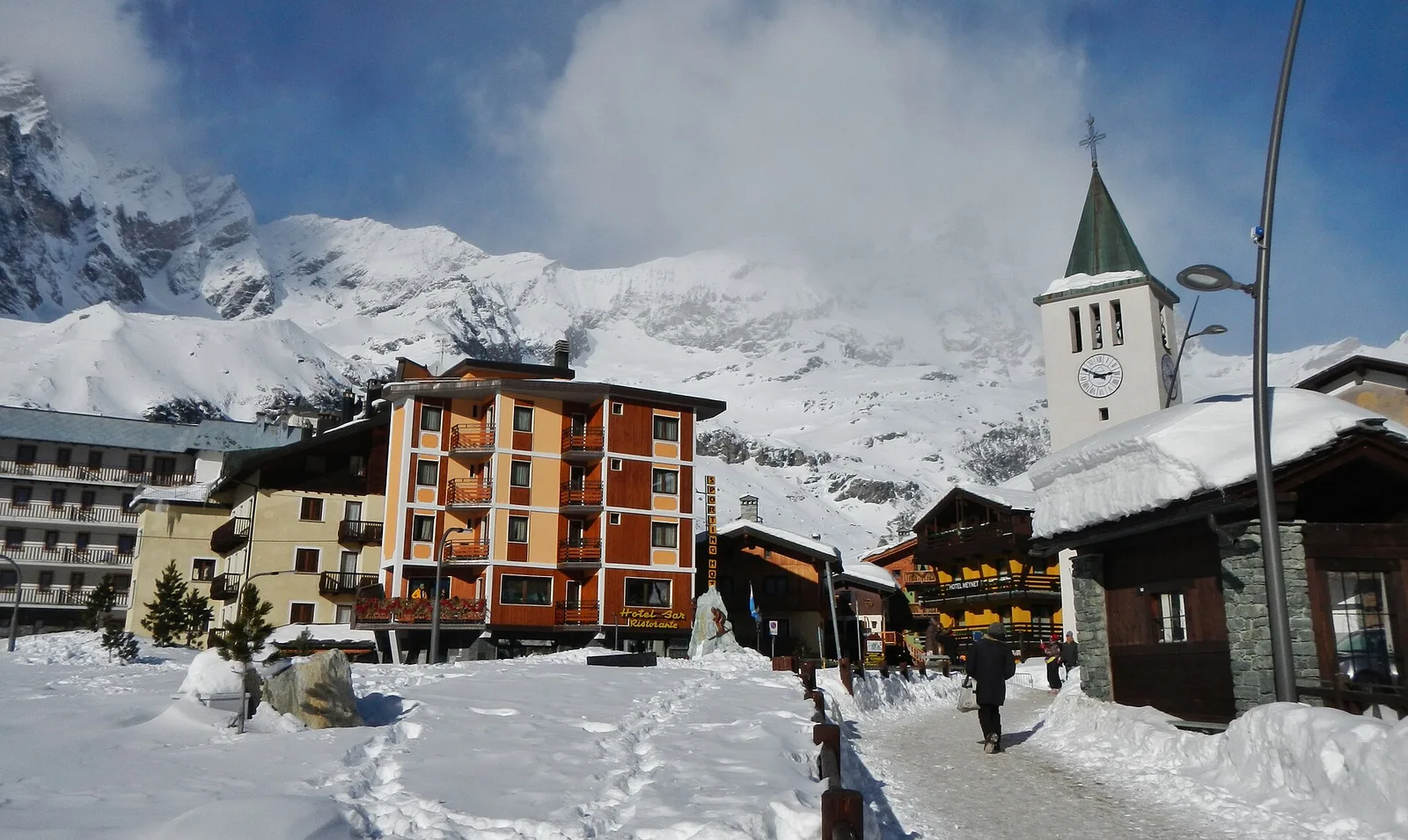
Valgrisenche
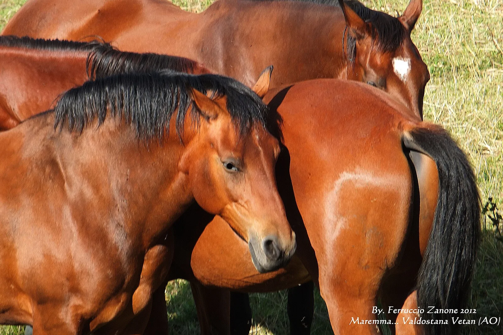
In the Valgrisenche, commune of Arvier: an E-rated climb through forest and meadows toward a high-altitude pasture.
Val di Cogne
5.1 km · +904 m · E — from Champlong to Taveronaz (Lys Valley).
Valle di Champorcher
2.7 km · +567 m · E — from Chardonney to Bec de Monpey (Valtournenche).

Valle centrale
2.5 km · +477 m · E — from Château to Morges (La Thuile).
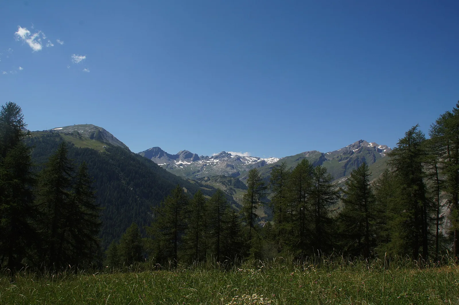
Val d'Ayas
2.7 km · +674 m · E — from Corbet to Alpe Boussolaz (Central Valley).
Valle di Champorcher
8 km · +1073 m · E — from Covarey to Col de la Croix (Central Valley).
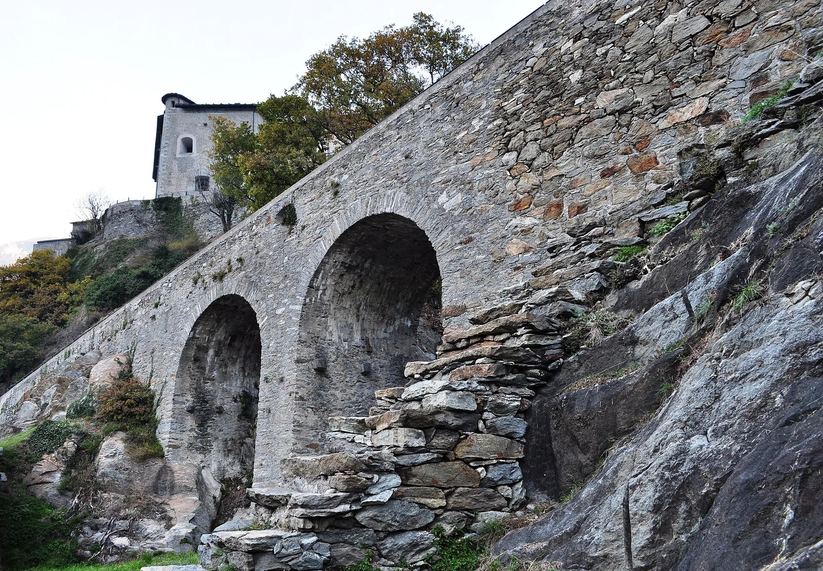
Valle del Gran San Bernardo
3.5 km · +180 m · E — from Strada comunale a monte delll'abitato di Dailley to Châtelard (Valtournenche).

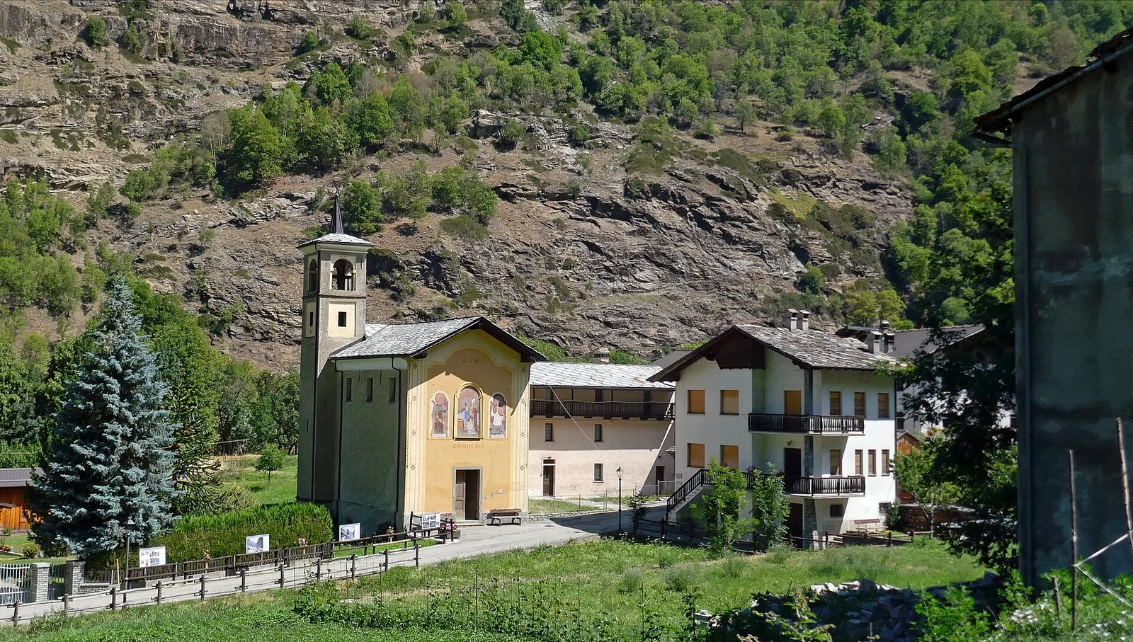
Valle del Gran San Bernardo
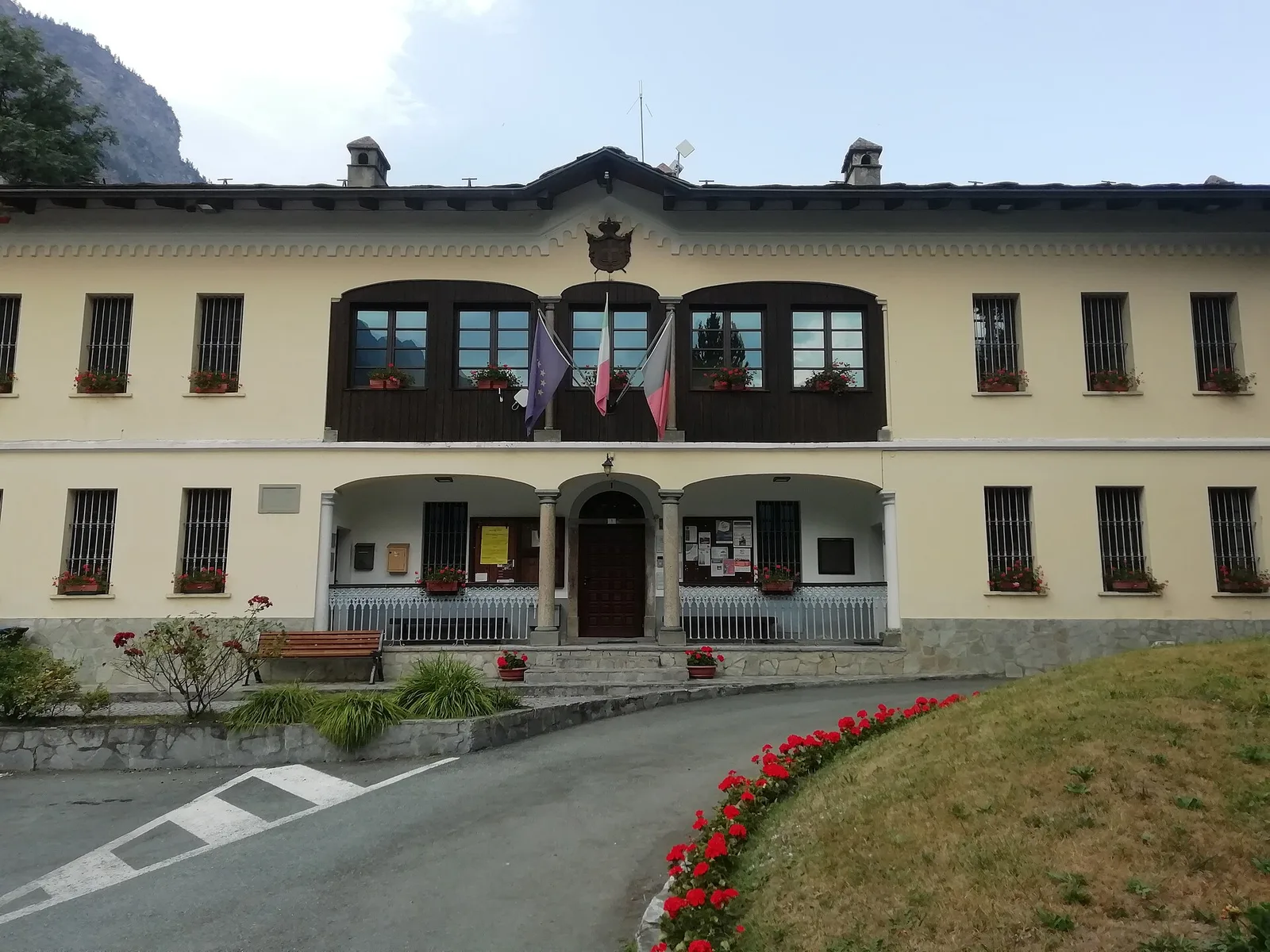
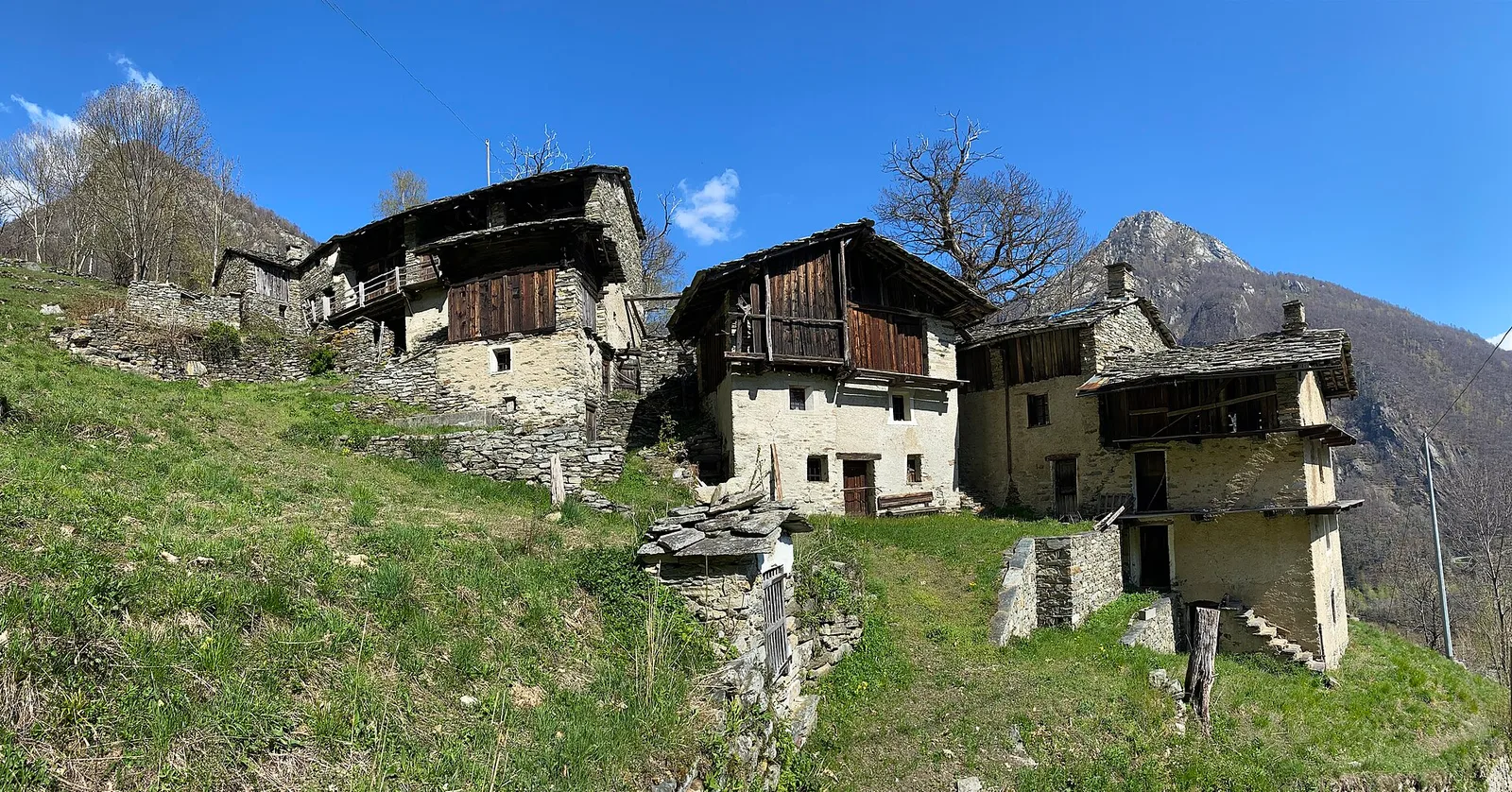
From Ville di Allein, an honest climb through pastures and larch woods to the Dortoir Baravex refuge at 1938 m, in the Great St Bernard valley.
Valle del Gran San Bernardo
2 km · +288 m · E — from Etroubles to Prailles (Central Valley).
Valsavarenche
5.1 km · +233 m · T — from Fenille to Degioz (Ayas Valley).
Valle del Lys
6.6 km · +1385 m · EE — from Fey to Col d'Arche (Central Valley).
Valle centrale
1.5 km · +313 m · E — from Fossaz to Fournaise (Central Valley).
Valsavarenche
1.7 km · +291 m · E — from Frassiney to Verrogne (Central Valley).
Valle centrale
0.6 km · +46 m · E — from Gerbore to Vetan (Central Valley).
Val d'Ayas
2 km · +441 m · T — from Pasquier to La Croix (Ayas Valley).
Valpelline
5.6 km · +850 m · E — from Glacier to Pointe Cormet (Valpelline).
Valle centrale
3.5 km · +623 m · E — from Gouilles to Del (Valtournenche).
Valtournenche
1.6 km · +13 m · E — from Grand Moulin to Poutaz (Valtournenche).
Bassa Valle
4.3 km · +659 m · E — from Chiesa di San Giorgio to Biel (Valsavarenche).
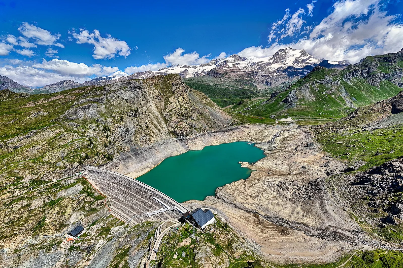
La Thuile
4.8 km · +926 m · E — from La Thuile to Col de la Croix (Lys Valley).
Valle centrale
5.8 km · +1201 m · E — from Pont Suaz to Ermitage de Saint-Grat (Cogne Valley).
Valle centrale
4 km · +593 m · E — from Combes to Plan Bry (confine comunale Valgrisenche) (Lys Valley).
Val d'Ayas
In the Val d'Ayas, commune of Ayas: a steady E-rated climb toward a high-altitude objective on well-marked terrain.
Valgrisenche
7.6 km · +1124 m · E — from Menthieu to Lago San Grato (Valtournenche).
Valle del Lys
5.7 km · +773 m · E — from Ondre Eselbode to Rifugio Gabiet (Lys Valley).
Valtournenche
5 km · +296 m · E — from Paquier to Chamois (Central Valley).
Valle del Gran San Bernardo
4.3 km · +562 m · E — from Petit-Buthier to Alpe Ars (Central Valley).
Bassa Valle
2.4 km · +790 m · E — from Saint-Roch to Col de Plan Fenetre (Central Valley).
Valle centrale
4.3 km · +1068 m · E — from Ponte Dora Baltea to Alpe Mont Giron (Valdigne).
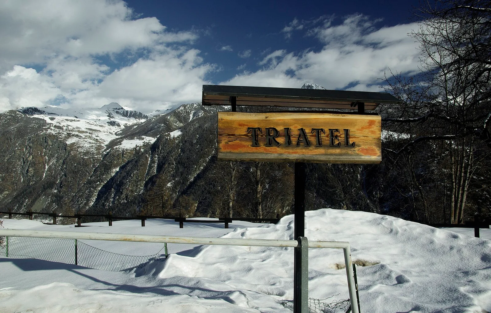
Valtournenche
2.7 km · +556 m · E — from Confine comunale Antey -Torgnon to Triatel (Valpelline).
Val Ferret
2.3 km · +421 m · EE — from Pré de Pascal to Mont-Chetif (Great St Bernard Valley).
Valle del Gran San Bernardo
4.7 km · +1018 m · E — from Saint-Léonard to Col Citrin (Central Valley).
Valle del Gran San Bernardo
5.7 km · +1091 m · E — from Saint-Oyen to Mont Paglietta (Great St Bernard Valley).
Valle di Champorcher
2.5 km · +542 m · E — from Strada Dondena to Col Lago Bianco (Valtournenche).
Valle del Lys
4.3 km · +155 m · T — from Bivio Villa Margherita to Start 9 (Champorcher Valley).
Val d'Ayas
2 km · +370 m · E — from Strada Regionale to Arbaz (Ayas Valley).
Valle centrale
5.6 km · +1100 m · E — from Strada regionale per Arpy to Croix du Folliet (Central Valley).
Valle di Champorcher
0.5 km · +167 m · E — from Terrisse to Attacco Mont Charvatton (Champorcher Valley).
Valtournenche
7 km · +702 m · E — from Plau to Plau (Central Valley).
Valpelline
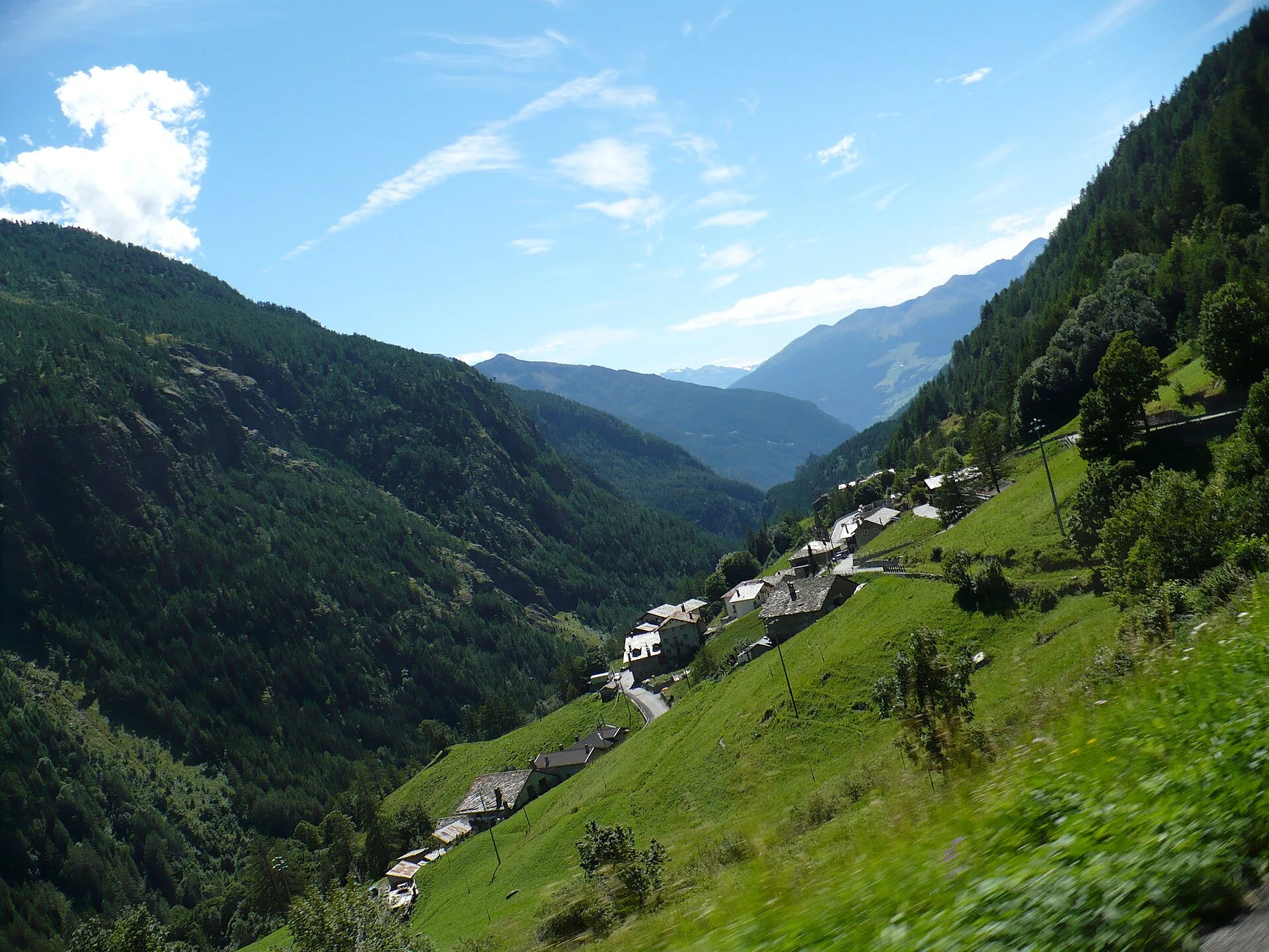
A scenic loop above Bionaz, from La Culoz via Mont Echeut and Sevey: 1,200 metres of ascent among alps and balconies over Valpelline.
Valle centrale
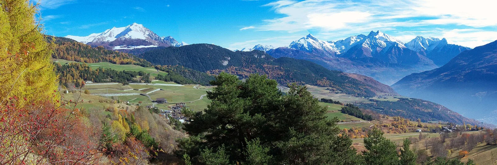
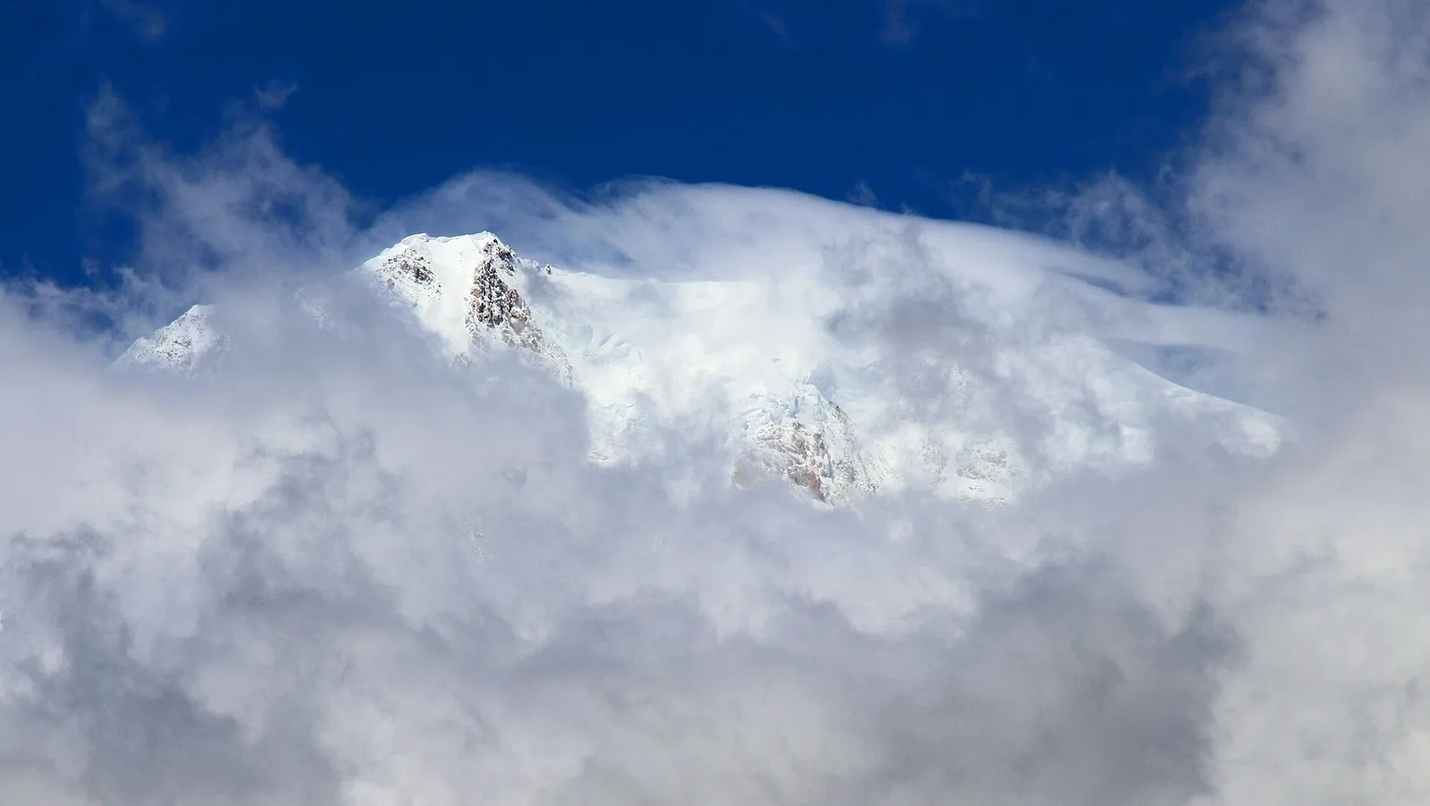
In the commune of La Salle, Valdigne: an accessible route through mixed forest and pastures with views of Mont Blanc.
Val di Cogne
In the Val di Cogne, Aymavilles: an E-rated climb toward an objective in the Gran Paradiso National Park.
Valle centrale
10.7 km · +910 m · E — from Villair to Rifugio Bonatti (Great St Bernard Valley).