
E
Valle centrale
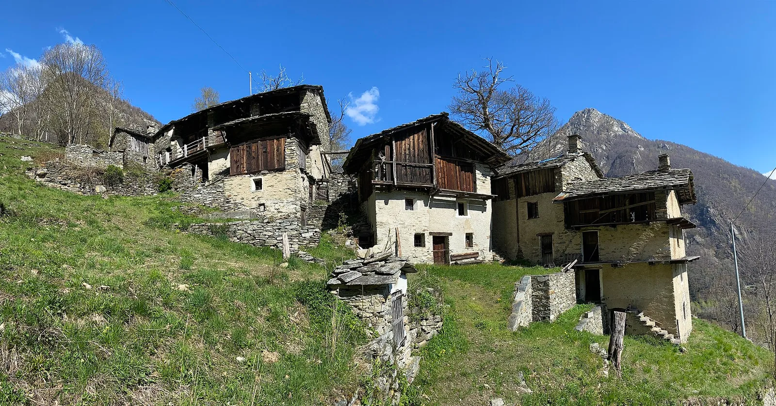
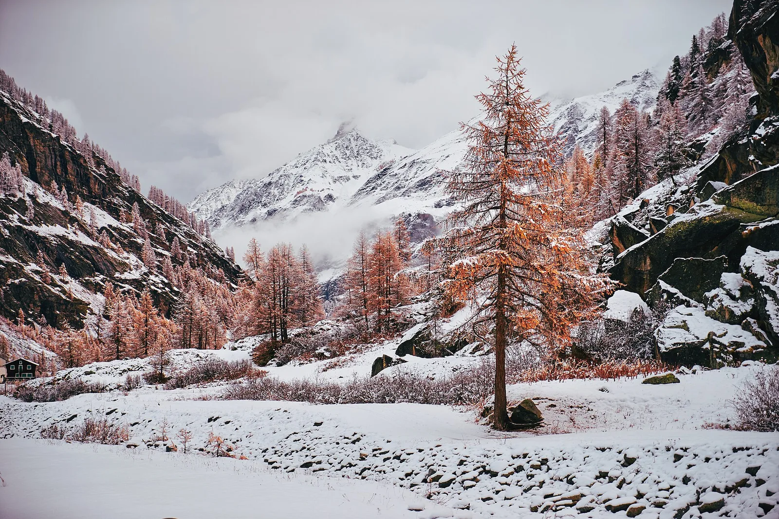
Anello del Verrand
2.6 km · +233 m · E — from Château Verrand to Château Verrand (Rhêmes Valley).
2.6 km+233 m1 h
Where to spot
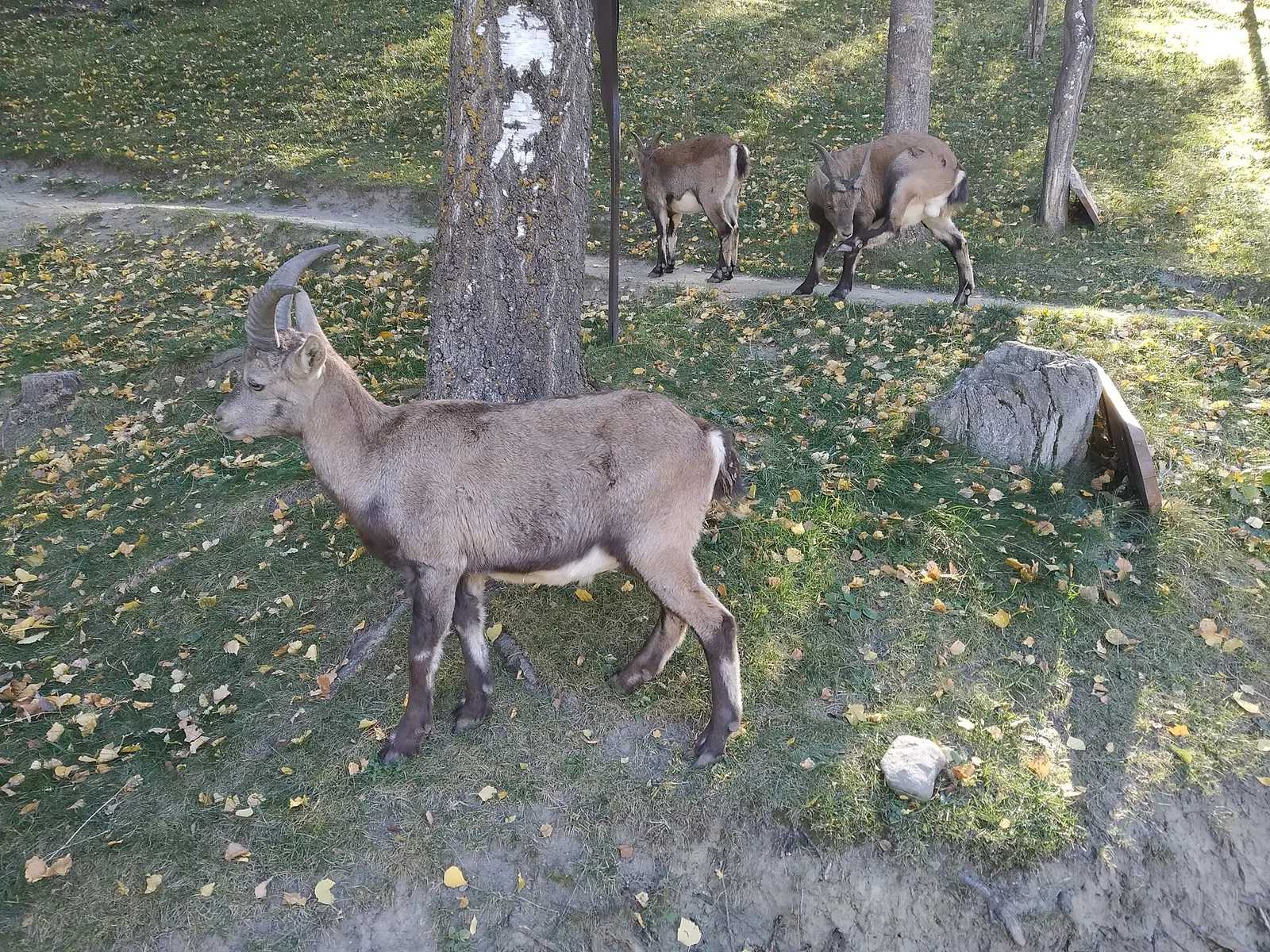
40 trails where Smooth snake is listed in flora/fauna: difficulty T–E, elevation gain 24–1321 m.
40 · 0.4–7.4 km · +24–1321 m
Valle centrale
2.6 km · +233 m · E — from Château Verrand to Château Verrand (Rhêmes Valley).
Valle centrale
2.6 km · +491 m · E — from Avise to Charbonnière (Valdigne).
Valle centrale
0.9 km · +203 m · E — from Aymavilles (St-Léger) to Strada regionale per Cogne (Cogne Valley).
Bassa Valle
1.5 km · +312 m · E — from Bourg to Peredrette (Valtournenche).
Valle di Champorcher
3.8 km · +903 m · E — from Castagnot to Colle d'Arcomy (Central Valley).
Val d'Ayas
1.6 km · +255 m · E — from Champoluc to Cascata Mascognaz (Central Valley).
Valle di Champorcher
4.4 km · +507 m · E — from Chardonney to Champlong (Valtournenche).
Bassa Valle
From the valley floor at Chateau Vallaise (454m) to Saint Anne's chapel (1342m): 4.3 km and 921 m of ascent through vineyards, chestnut groves and woodland on the Avise hillside.
Val di Cogne
2.8 km · +170 m · T — from Capoluogo to Valnontey (Lys Valley).
Valle centrale
3.7 km · +418 m · E — from Combelin to Alpe Loe (Or) (Central Valley).
Valle centrale
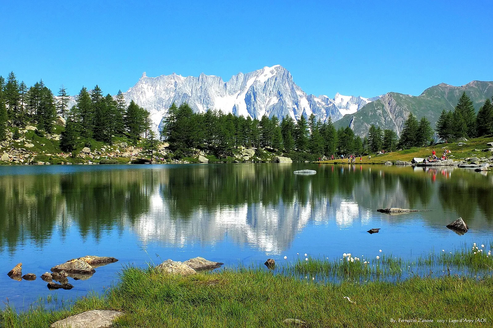
From Costablinaz to Lac d’Arpy (trail 14), Morgex: 6.1 km, +611 m, E. A balcony lake facing Mont Blanc.
Valle centrale
1.5 km · +75 m · E — from Coteau to Eremo Saint-Julien (Lys Valley).
Valle centrale
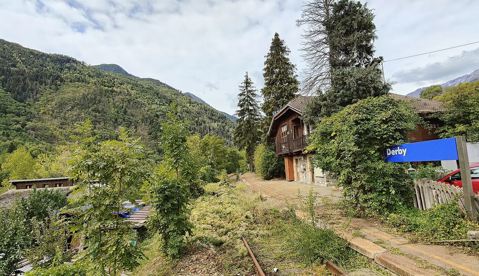
5.2 km · +715 m · E — from Derby, Chiesa to Lazey (La Thuile).
Val d'Ayas
3.5 km · +223 m · E — from Erésaz to Grand Rhun (Great St Bernard Valley).

Valle centrale
1.4 km · +164 m · E — from Feilley to Moron (Valtournenche).
Valle centrale
1.6 km · +197 m · E — from Gerbore to Mont Greume (Central Valley).
Val d'Ayas
2 km · +441 m · T — from Pasquier to La Croix (Ayas Valley).
Valle centrale
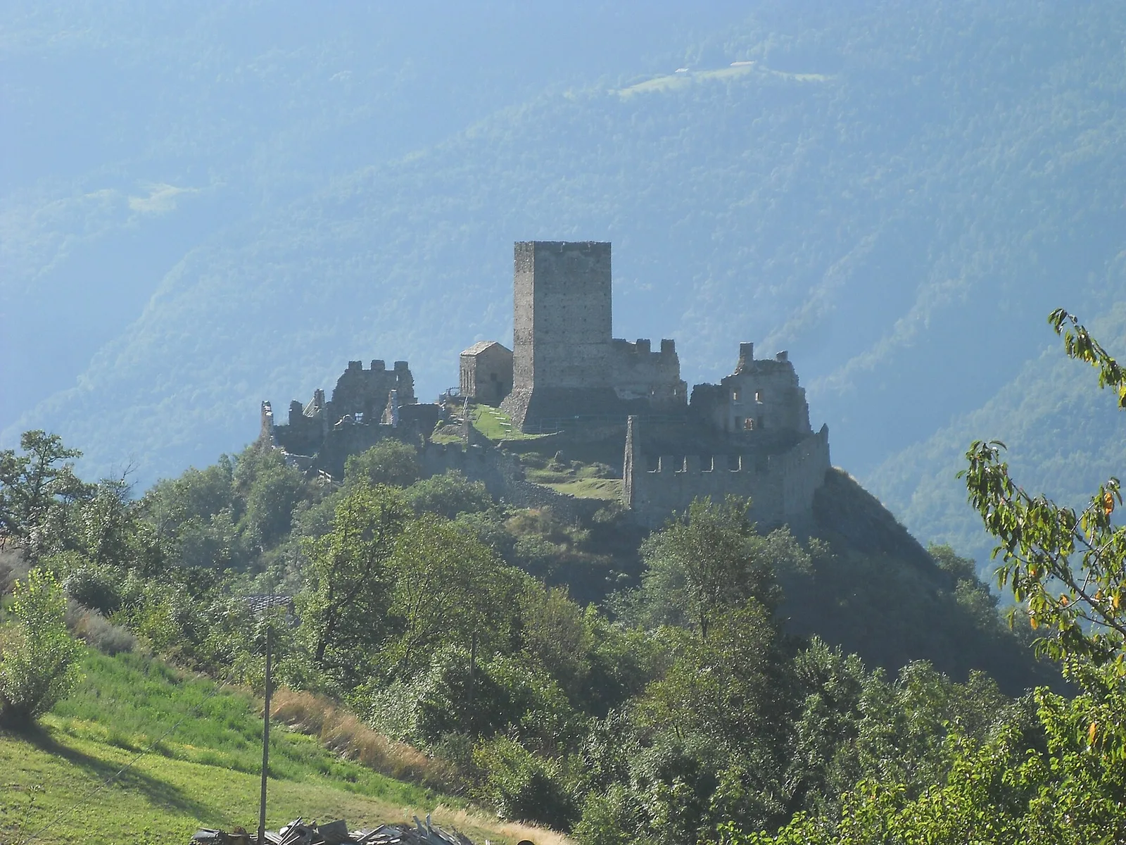
7.4 km · +1321 m · E — from Hermitage to Verrand (Great St Bernard Valley).
Valle di Champorcher
5.4 km · +633 m · E — from Piazza Municipio to Pontboset (Valsavarenche).
Val d'Ayas
2 km · +106 m · E — from Isollaz to Ponti Romani (Ayas Valley).
Valle centrale
5.8 km · +1201 m · E — from Pont Suaz to Ermitage de Saint-Grat (Cogne Valley).
Valle centrale
0.9 km · +97 m · E — from Les Fabriques to Lignan (Valpelline).
Valtournenche
1.3 km · +310 m · E — from Lies to tornante S.R. (Valtournenche).
Val d'Ayas
5.6 km · +793 m · E — from Lo Pian to Covarey (Parcheggio) (Central Valley).
Valle centrale
4.1 km · +892 m · E — from Moline to Brein (Lys Valley).
Valle del Lys
4.1 km · +794 m · E — from Nantey to Pra (Central Valley).
Valsavarenche
1.1 km · +36 m · T — from Parcheggio Pont to Rifugio Tétras Lyre (Ayas Valley).
Valgrisenche
3.1 km · +480 m · E — from Confine comunale Arvier, Revers to Borègne (Valtournenche).
Valle del Gran San Bernardo
3.2 km · +823 m · E — from Roisan to Riond (Valtournenche).
Valtournenche
3 km · +114 m · E — from N.D. to N.D. (Central Valley).
Valle centrale
3.1 km · +442 m · E — from Saint-Denis to Del (Central Valley).
Valle del Gran San Bernardo
0.4 km · +24 m · E — from Saint-Oyen to Pallais dessus (Great St Bernard Valley).
Valle di Champorcher
4 km · +700 m · E — from Varesa to Santuario di Retempio (Champorcher Valley).
Val d'Ayas
2 km · +370 m · E — from Strada Regionale to Arbaz (Ayas Valley).
Val d'Ayas
5.7 km · +1091 m · E — from Toffo (Montjovet) to Sommarèse (Great St Bernard Valley).
Valpelline
3.8 km · +78 m · E — from Rey to Chatellair-Dessus (Valpelline).
Valle centrale
High-level traverse from Vedun (1519m) to Jovençan (1868m) in the Valdigne: 6 km through historic pastures with Mont Blanc as backdrop.
Bassa Valle
1.4 km · +312 m · T — from Piazza R.Challand to Croix de Saint-Gilles (Valtournenche).
Valle centrale
3.3 km · +479 m · E — from Ville to Combes (Lys Valley).
Valle del Lys
1 km · +254 m · E — from Yair desor to Mouleret (Great St Bernard Valley).