E
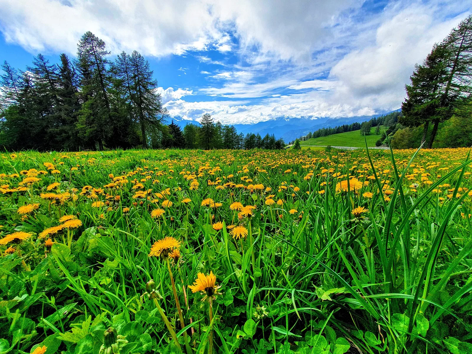
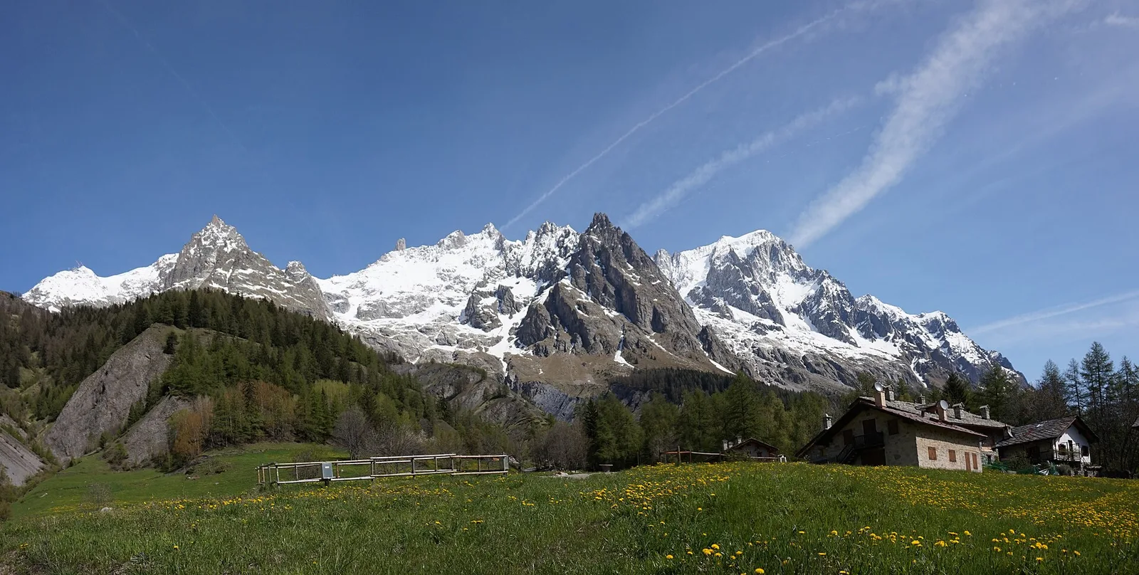
Val d'Ayas
Arbaz - Tete de Comagne
3.8 km · +608 m · E — from Arbaz to Tete de Comagne (Ayas Valley).
3.8 km+608 m2.5 h
Where to spot
45 trails where Red crossbill is listed in flora/fauna: difficulty T–EE, elevation gain 0–1837 m.
45 · 0.2–10.8 km · +0–1837 m
Val d'Ayas
3.8 km · +608 m · E — from Arbaz to Tete de Comagne (Ayas Valley).

Valle centrale
4.1 km · +476 m · E — from Area giochi Croux to Parleyaz (Central Valley).
Valle centrale
From Aymavilles Moulin (653 m) to Petit Poignon (1562 m) along the Gran Paradiso Park edge: mixed woodland, clearings, and wildlife. 6.2 km, +926 m, E.
Val di Cogne
3.1 km · +346 m · E — from Belvedere to Sentiero Natura (Lys Valley).
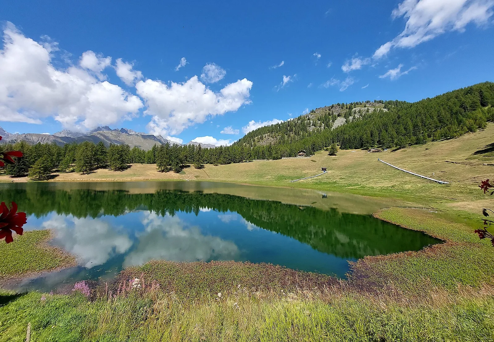
Val d'Ayas
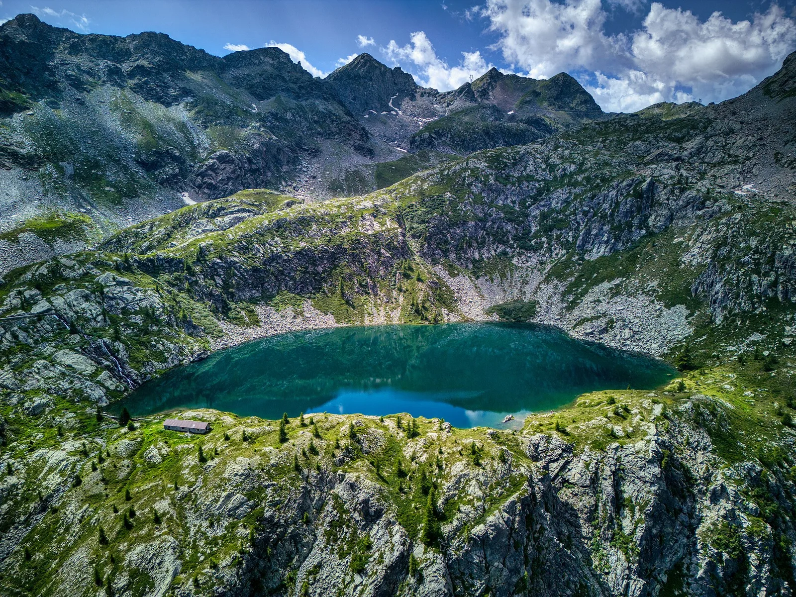
From Blanchard to the Lago Blu of Ayas (trail 7): 4.2 km, +575 m, E. The pool that mirrors Monte Rosa.
Valle centrale
3.8 km · +694 m · E — from Blavy to La Bourra (Valpelline).
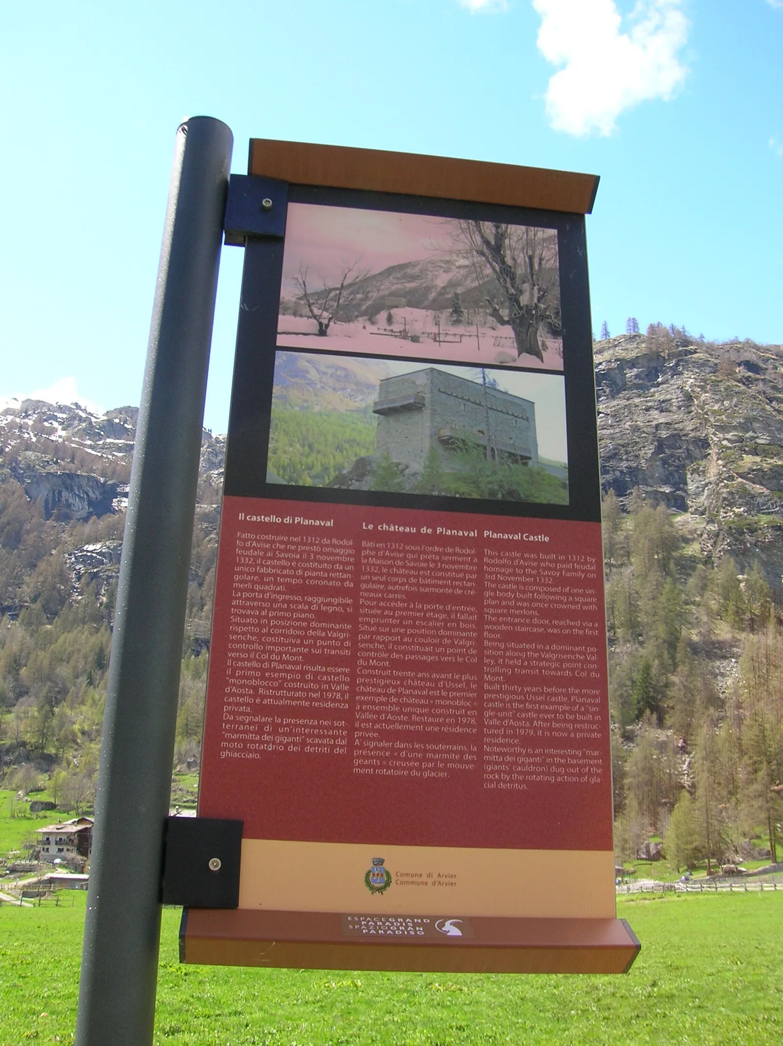
Valgrisenche
In the Valgrisenche, commune of Arvier: an E-rated climb through forest and meadows toward a high-altitude pasture.
Val di Rhêmes
2.2 km · +508 m · E — from Chanavey to Chaussettaz (Great St Bernard Valley).
Val di Cogne
1.4 km · +246 m · E — from Cogne, capoluogo to Gimillan (Lys Valley).
Val d'Ayas
2.4 km · +458 m · E — from Col de Joux to Testa di Comagna (Valtournenche).
Valle centrale
1.8 km · +219 m · E — from Cossèi to Belvedere Tsan (Lys Valley).
Valle centrale
5.8 km · +1129 m · EE — from Dolonne to Mont-Chetif (Great St Bernard Valley).

Valle del Gran San Bernardo
From Ville di Allein, an honest climb through pastures and larch woods to the Dortoir Baravex refuge at 1938 m, in the Great St Bernard valley.
Valle di Champorcher
10.8 km · +1062 m · EE — from Druges to Grande Chaux (Great St Bernard Valley).
Valle centrale
0.2 km · +0 m · E — from Tornante presso Fossaz to Zona Calanchi (Central Valley).
Valpelline
5.6 km · +850 m · E — from Glacier to Pointe Cormet (Valpelline).
Valtournenche
1.6 km · +13 m · E — from Grand Moulin to Poutaz (Valtournenche).
Valle del Lys
4.6 km · +713 m · E — from Grundji to Grundji (Ayas Valley).
Val Ferret
1.8 km · +163 m · E — from La Palud to Planpincieux (Great St Bernard Valley).
Valpelline
2.6 km · +240 m · E — from Lessert to Le Moulin (Valpelline).
Valle di Champorcher
5 km · +865 m · EE — from Maison Blanche to Praz Premier (Lys Valley).
Bassa Valle
3.9 km · +830 m · E — from Marine to Col Fênetre (Central Valley).
Valtournenche
4.8 km · +167 m · E — from Mognod to Saint-Evence (Valpelline).
Valle di Champorcher
9.8 km · +1837 m · EE — from Monteil to Le Give (Valtournenche).
Valle di Champorcher
3.6 km · +853 m · E — from Outre l'Eve to Mont Digny (Valtournenche).
Valtournenche
2.3 km · +178 m · E — from Pâquier to Lago Loz (Central Valley).
La Thuile
6.3 km · +643 m · E — from Parcheggio Area camper to Souches (Lys Valley).
Valle del Gran San Bernardo
5.7 km · +562 m · E — from Petit-Buthier to Alpe Ars (Central Valley).
Valle centrale
1.2 km · +124 m · E — from Petit-Palleussieux to Château Verrand (Rhêmes Valley).
Valle di Champorcher
1.4 km · +381 m · EE — from Petit-Rosier to Col de Poussauel (Valtournenche).
Valle del Lys
1.6 km · +583 m · E — from Pianatz to Berord (Great St Bernard Valley).
Valle del Lys
3.9 km · +226 m · T — from Piazzale Colletesand to Staffal (Lys Valley).
Val d'Ayas
2.3 km · +307 m · E — from Capoluogo to Salomon (Ayas Valley).
Valle centrale
3.4 km · +733 m · E — from Pompiod to Montcorvé dessus (Valtournenche).
Valle centrale
3 km · +715 m · E — from Robbio to Grand Bellalanaz (Lys Valley).
Val d'Ayas
In the Val d'Ayas, Ayas: a steady E-rated climb toward high altitude with views of Monte Rosa.
Valtournenche
1.8 km · +36 m · T — from LOU to Incrocio pista forestale (Central Valley).
Valle di Champorcher
4 km · +700 m · E — from Varesa to Santuario di Retempio (Champorcher Valley).
Valle di Champorcher
3.4 km · +478 m · E — from Strada Dondena to Raty desot (Valtournenche).
Valgrisenche
3 km · +586 m · E — from Usellières to Rifugio Chalet de l'Epée (Valtournenche).
Valpelline
3.3 km · +419 m · E — from Valpelline capoluogo to Capoluogo (Valtournenche).
Valle centrale
In the commune of La Salle, Valdigne: an accessible route through mixed forest and pastures with views of Mont Blanc.
Valle centrale
3.9 km · +289 m · E — from Vetan to Alpe Loe (Or) (Central Valley).
Valle centrale
2.4 km · +196 m · E — from Villair to Château de Châtelard (Central Valley).
Valle del Lys
1.8 km · +241 m · E — from Weissmatten to Colle di Garda (Champorcher Valley).