
T
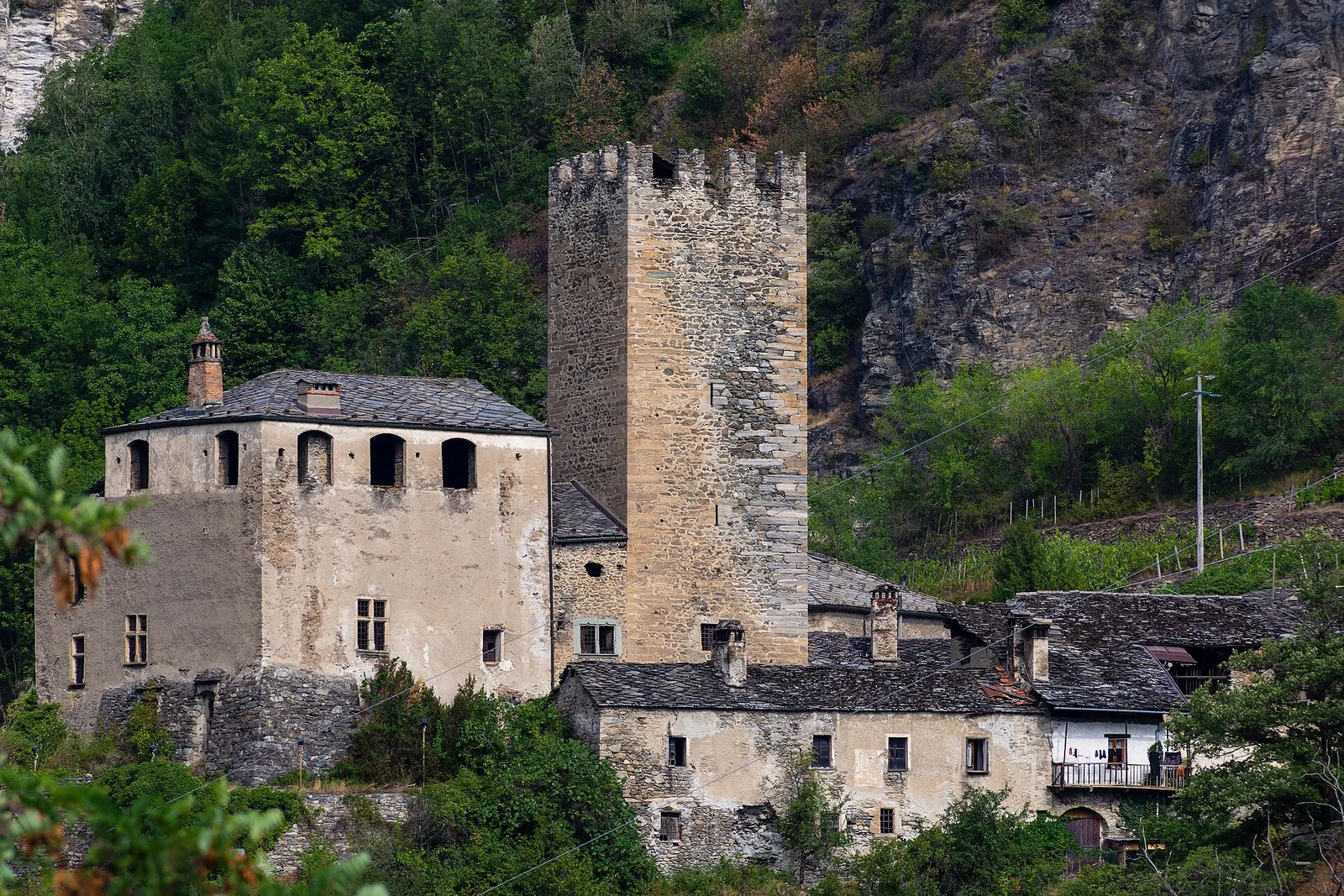
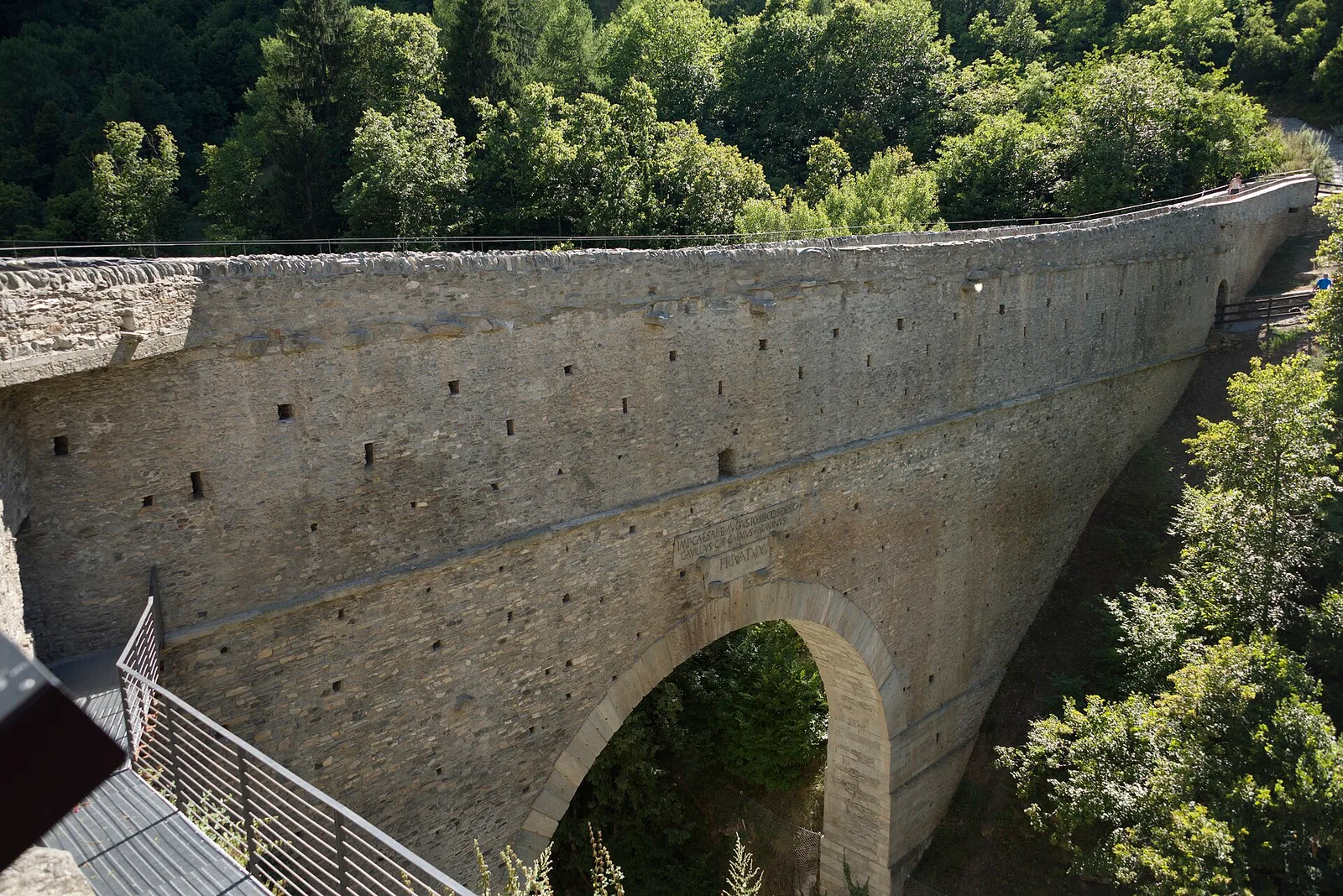
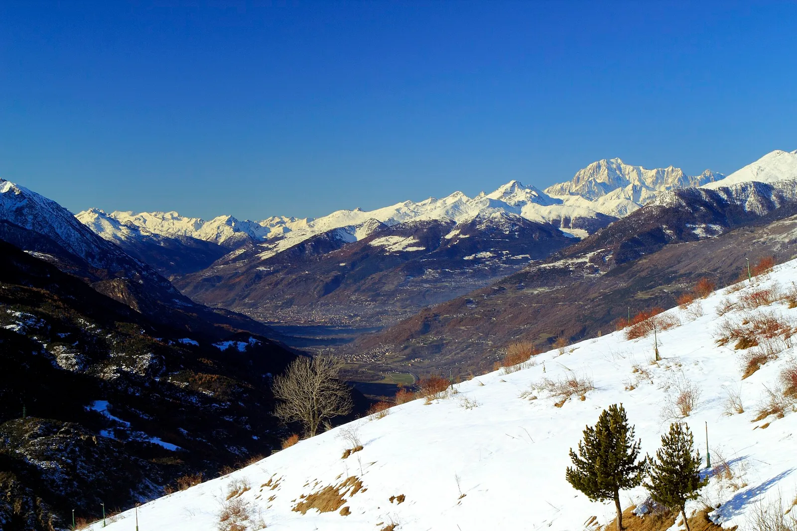
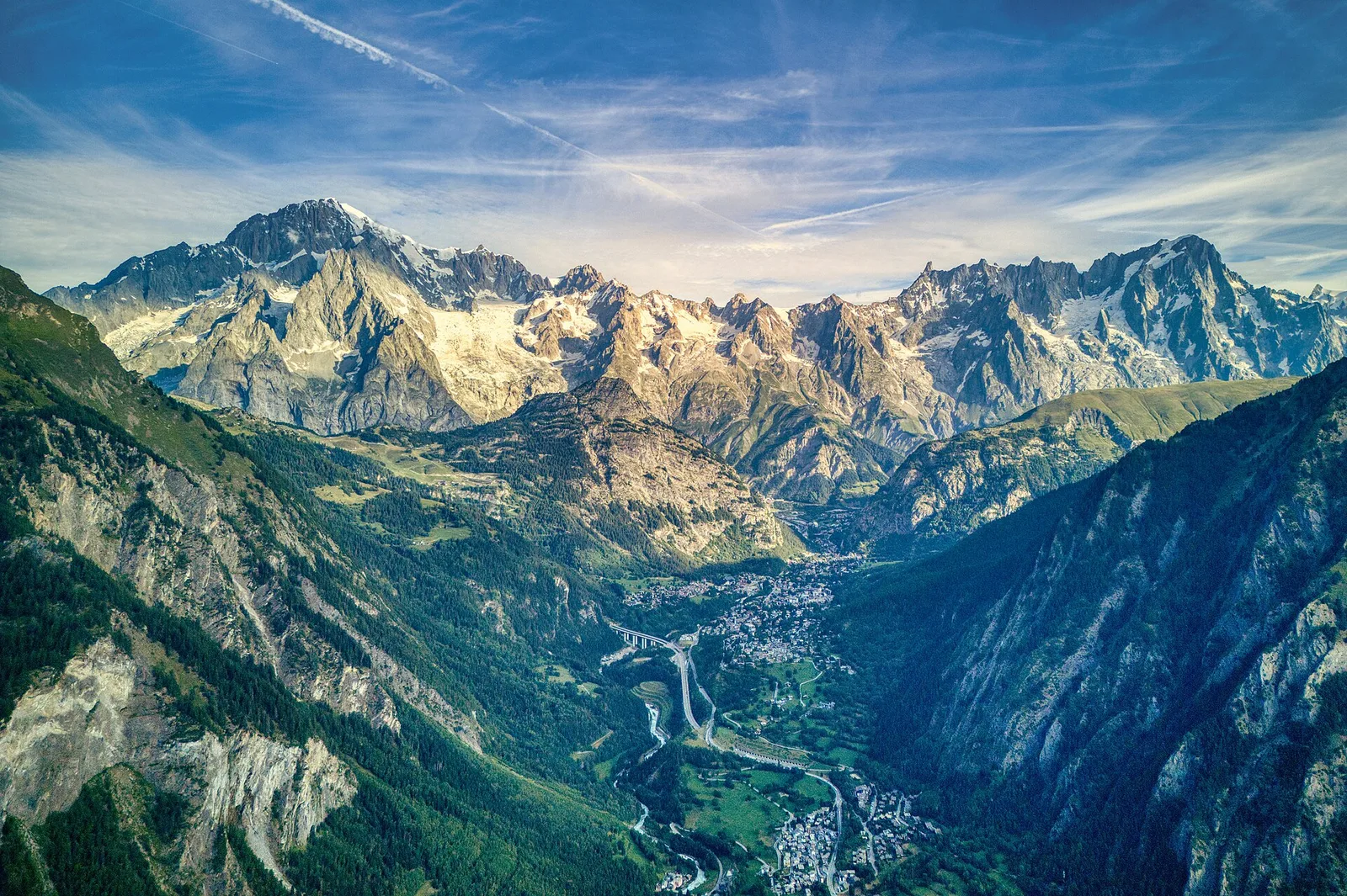
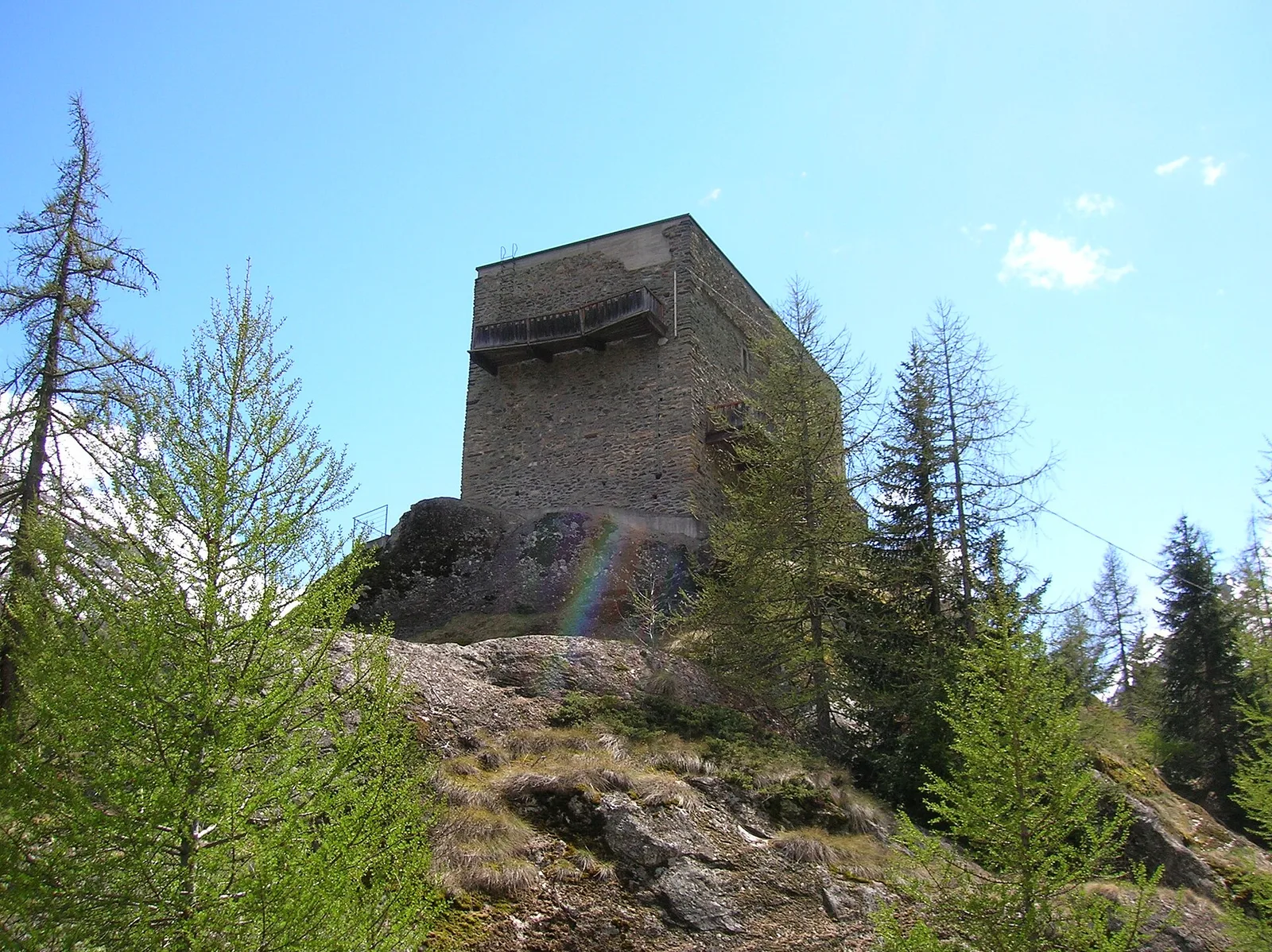
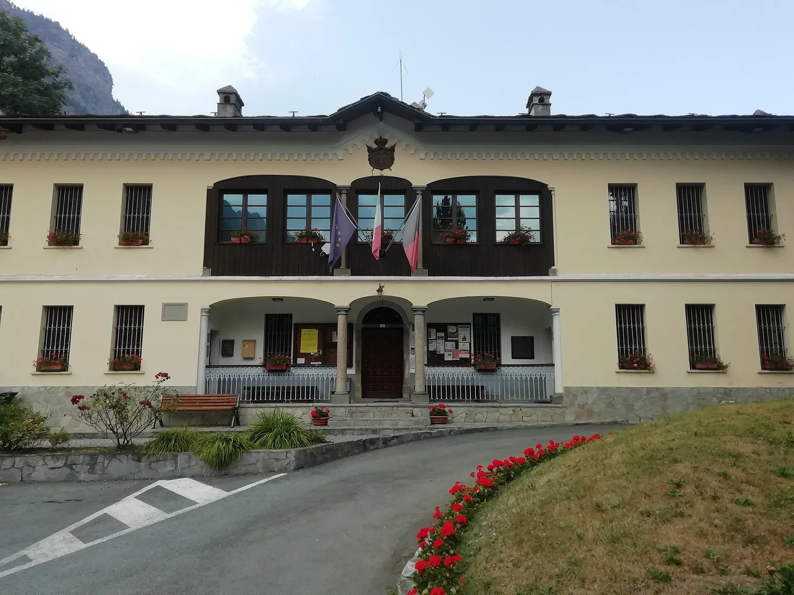
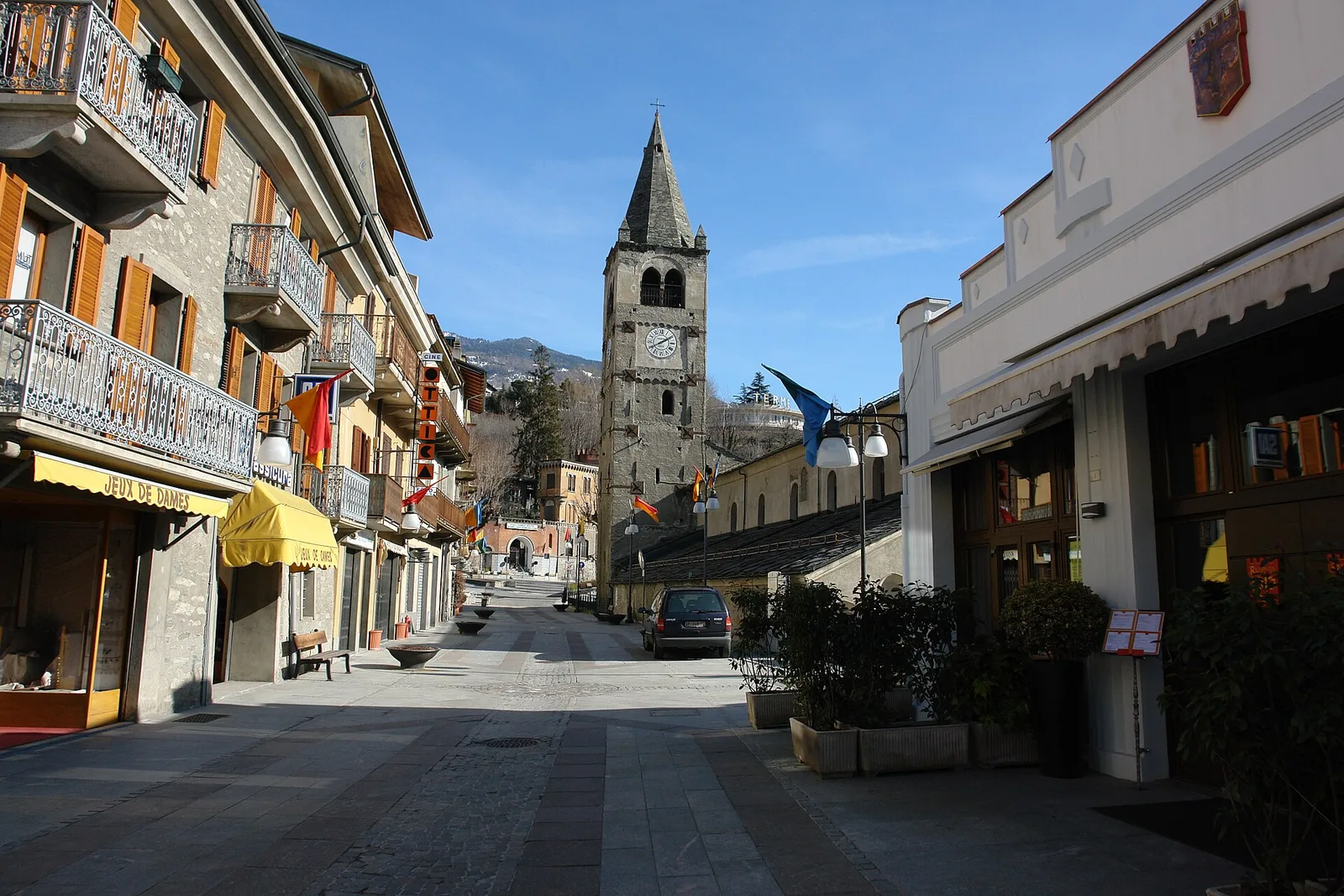
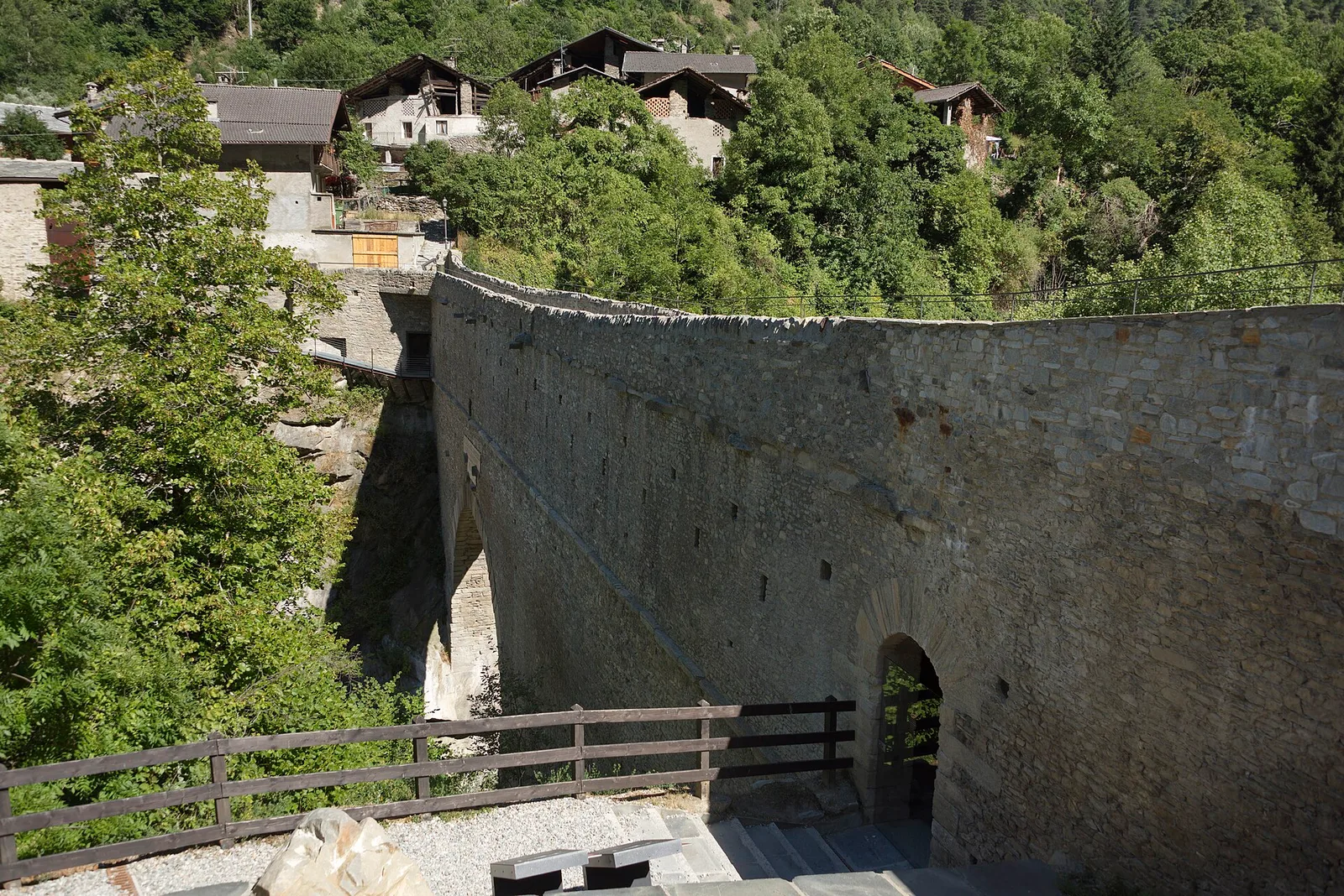
Valtournenche
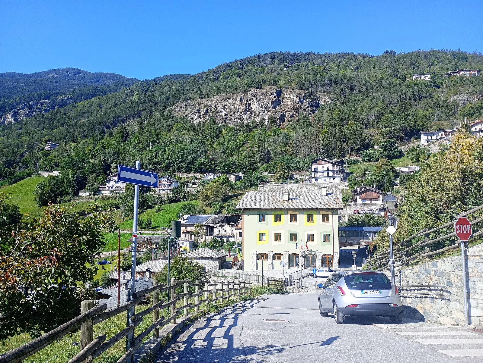
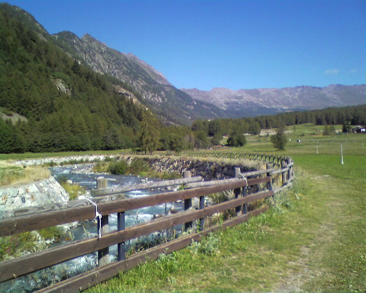
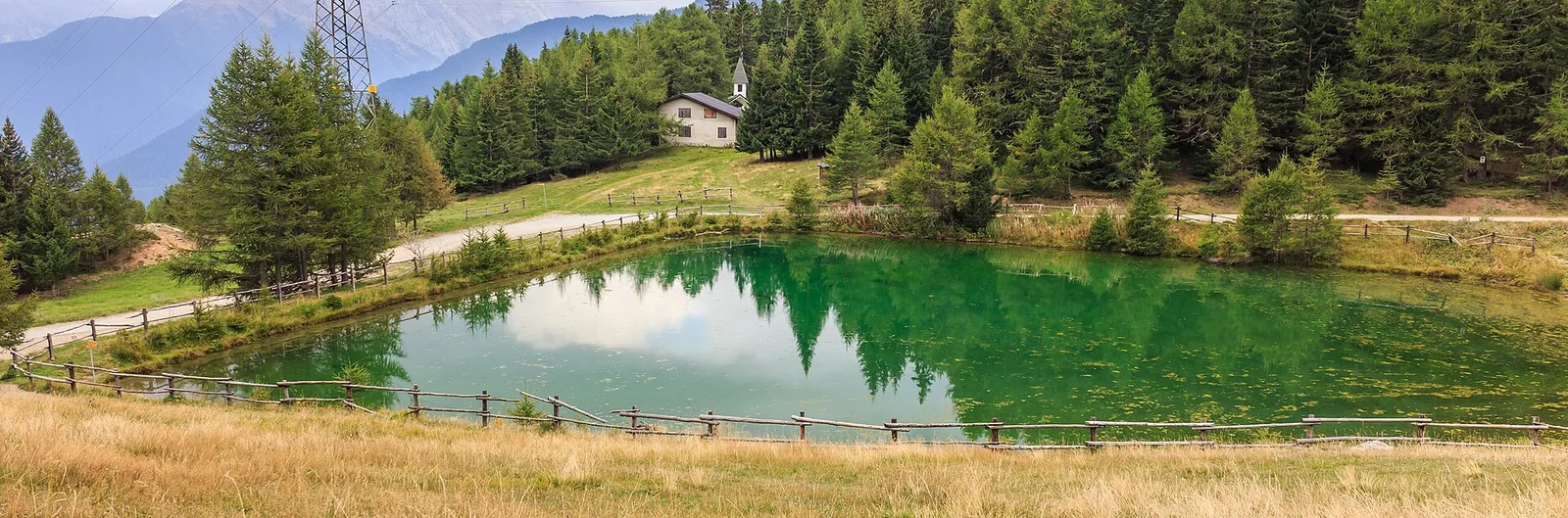
Anello Area sportiva-Fiernaz-Area sportiva
2.9 km · +28 m · T — from Area sportiva to Area sportiva (Valtournenche).
2.9 km+28 m1 h
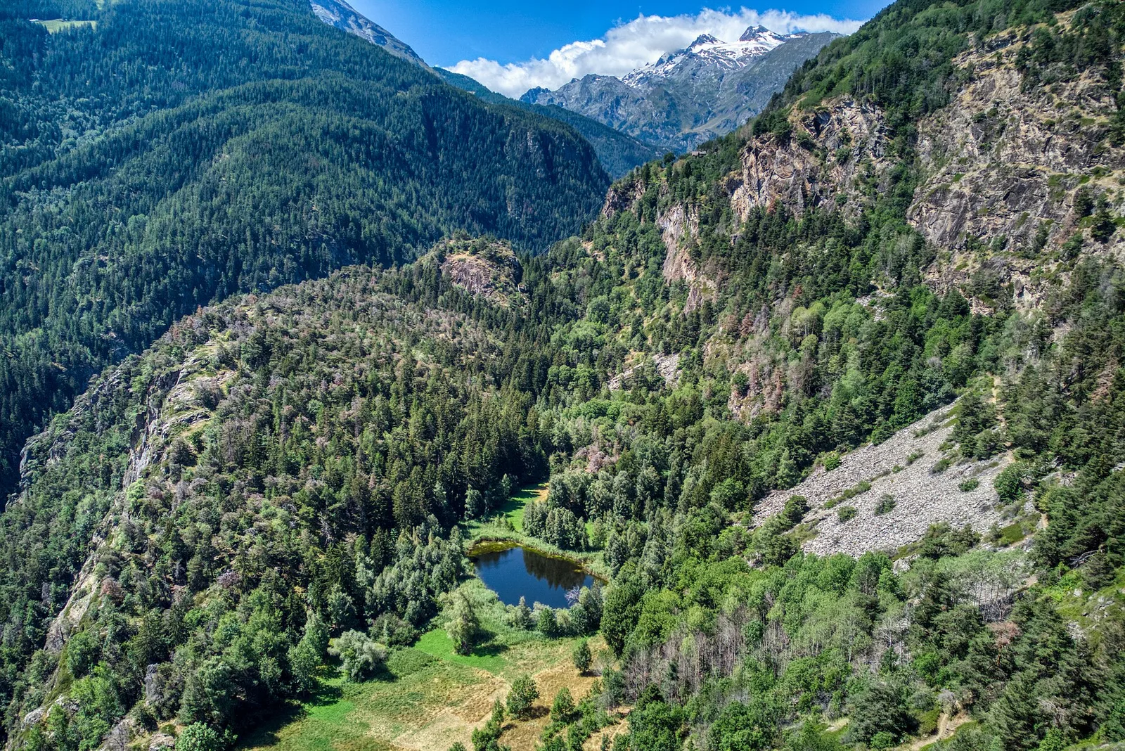
Where to spot
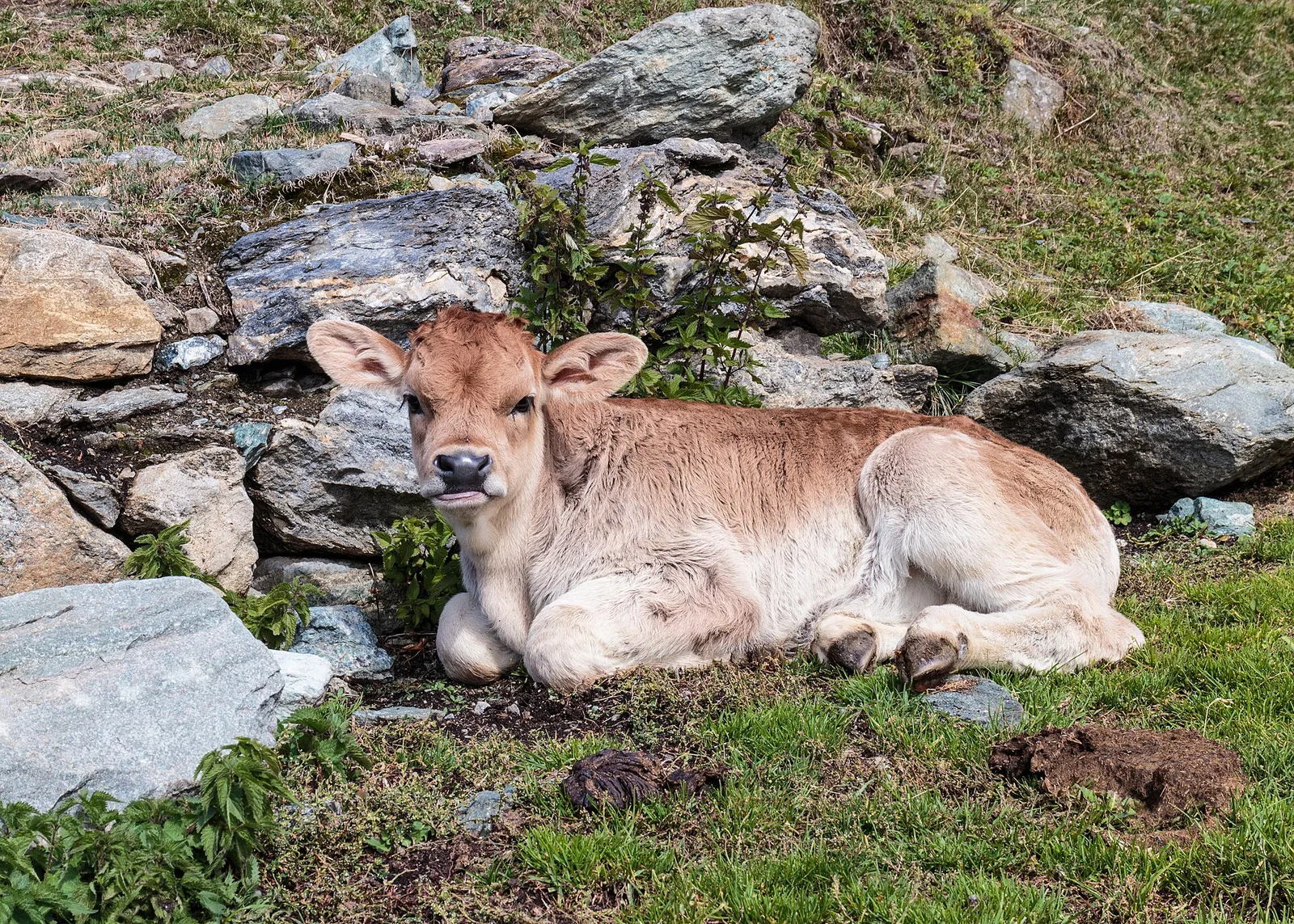
45 trails where Orange lily is listed in flora/fauna: difficulty T–EE, elevation gain 0–1256 m.
45 · 0.4–12.3 km · +0–1256 m
Valtournenche
2.9 km · +28 m · T — from Area sportiva to Area sportiva (Valtournenche).

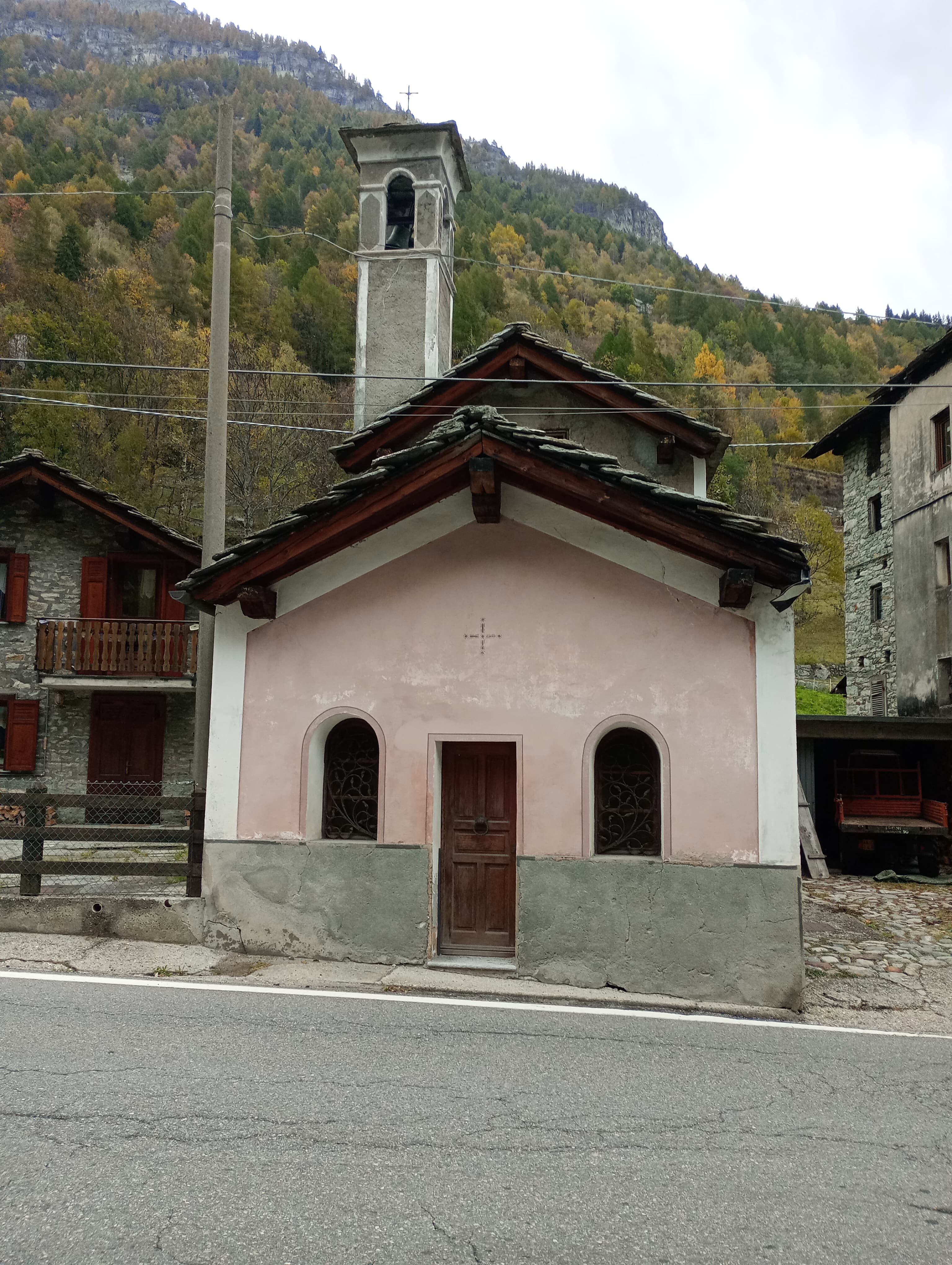
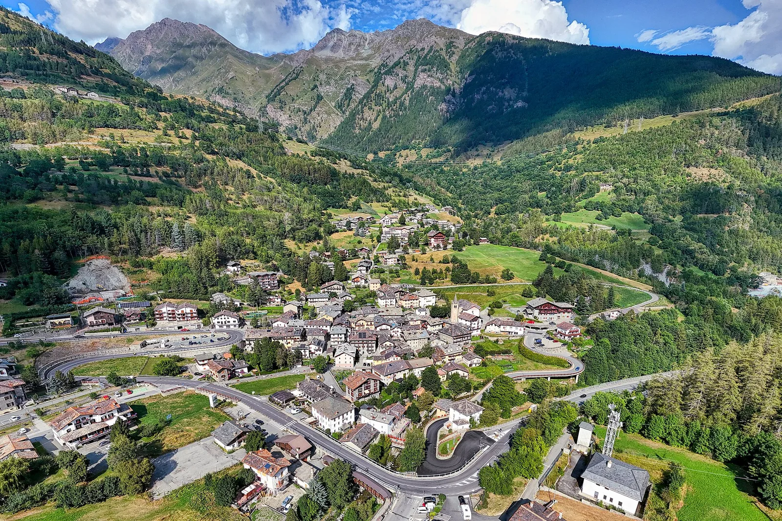
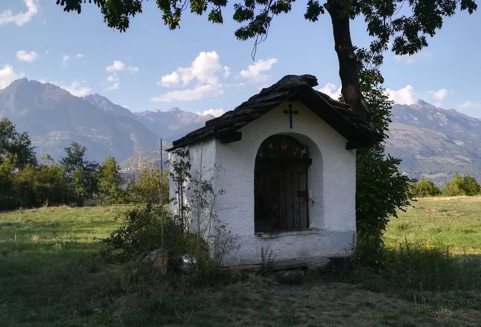
Valtournenche
A loop through the sunlit hamlets of Antey and Torgnon: traditional Aosta Valley architecture, vineyards and mid-mountain forest, 5.2 km from Ruvère.
Valle centrale
From Avise to Cerellaz via Ravoire on the sunny Valdigne hillside: 3 km and 479 m through vineyards, woodland and meadows. Part of the Via Alpina.
Valle centrale
2.5 km · +390 m · E — from Bachaud to Rumiod la Chapelle (Remiod) (Central Valley).
Valle centrale
5.5 km · +786 m · E — from Bellecombe to Alpe Valmeriana (Valdigne).
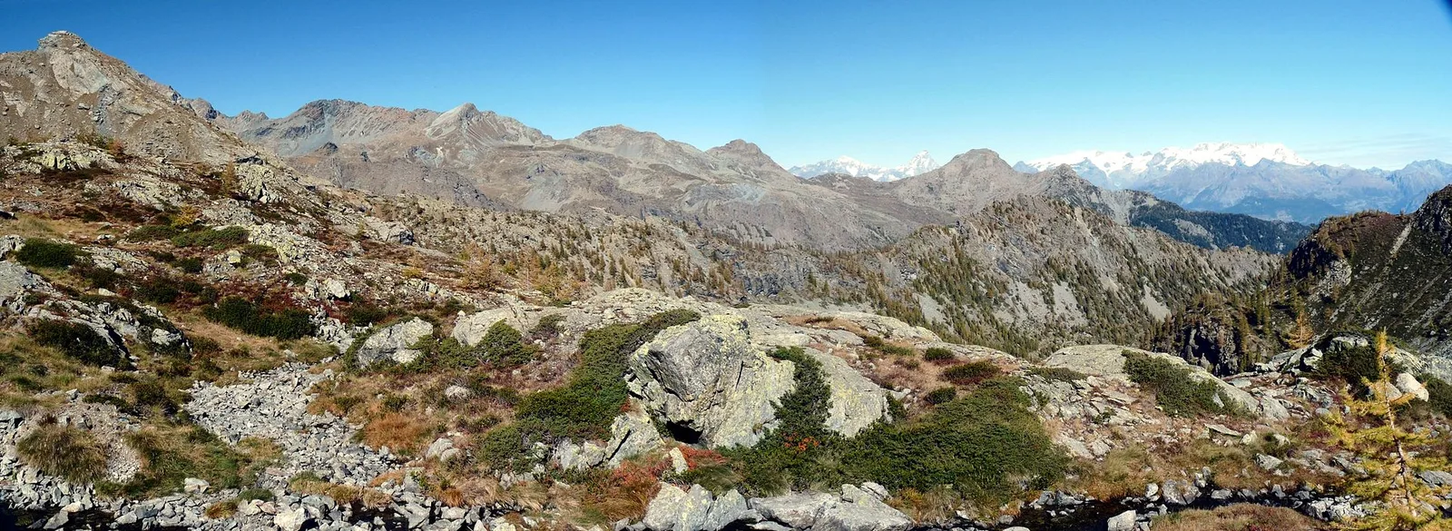
Val d'Ayas
1.8 km · +422 m · E — from Capiron to Miniera di Herin (Central Valley).
Valle centrale
1.7 km · +446 m · E — from Chevrère to Poignon (confine comunale Villeneuve) (Lys Valley).
Valle centrale
6 km · +1256 m · E — from Clapey to Alpe Valmeriana (Valdigne).
Val d'Ayas
2.1 km · +0 m · E — from Crest to Mascognaz (Central Valley).
Valle centrale
5.2 km · +578 m · E — from Echarlod to Vedun (confine comunale Avise) (La Thuile).
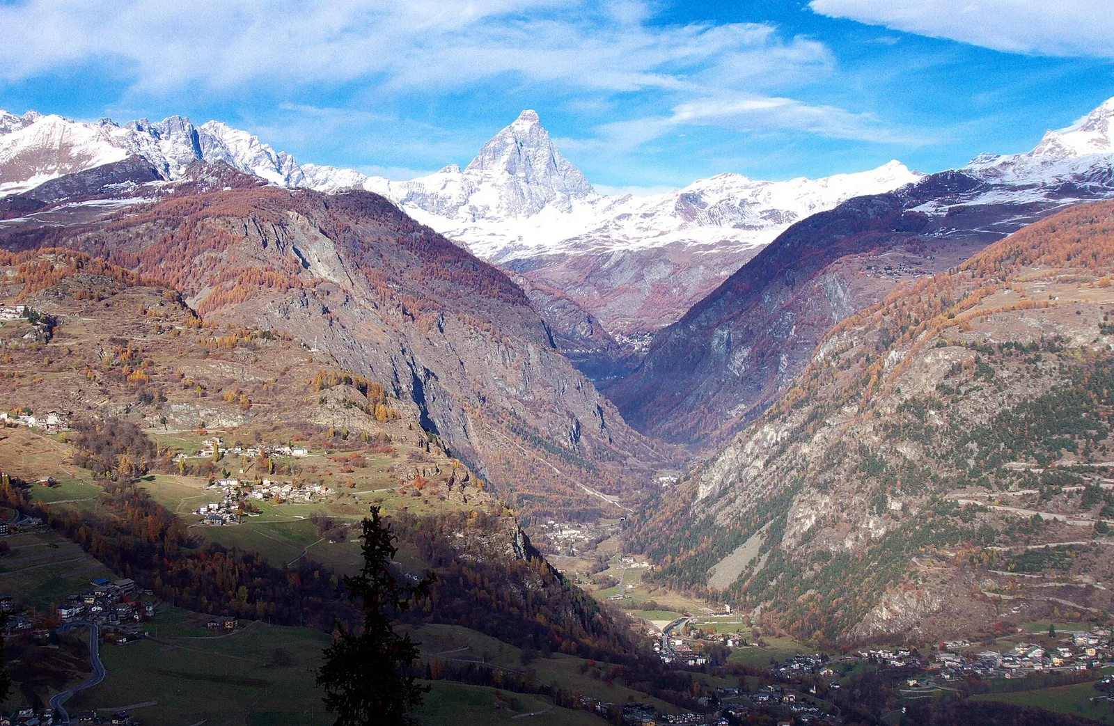
Val d'Ayas
0.7 km · +133 m · E — from Erésaz to Borna da Ghiasa (Great St Bernard Valley).

Valle centrale
1.4 km · +164 m · E — from Feilley to Moron (Valtournenche).
Valle del Lys
2.7 km · +496 m · E — from Gaby to Bounitzon (Great St Bernard Valley).
Valle di Champorcher
1.1 km · +265 m · EE — from Gontier to Grand-Mont-Blanc (Valtournenche).
Valtournenche
2.8 km · +376 m · E — from Confine Comunale Antey -Torgnon to Fontin Dameun (Valpelline).
Valle del Gran San Bernardo
12.3 km · +890 m · E — from La Cheriettes to Alpe Ars (Central Valley).
Valle centrale
2.9 km · +0 m · E — from Lignan to Arlod (Valpelline).
Valle centrale
3.2 km · +339 m · E — from Marchaucy to Ponteille (Lys Valley).
Bassa Valle
3.9 km · +830 m · E — from Marine to Col Fênetre (Central Valley).
Val di Cogne
0.9 km · +104 m · E — from Montroz to Gimillan (Lys Valley).
Valle centrale
7.9 km · +832 m · E — from Morgex, sentiero 8, quota 950 to Petosan (Central Valley).
Valle centrale
1.5 km · +284 m · E — from Moulin to Plout (Great St Bernard Valley).
Valle di Champorcher
3.6 km · +478 m · E — from Outre l'Eve to Borney (Valtournenche).
Val d'Ayas
1.2 km · +160 m · E — from Pilaz to Fontaines de Goillaz (Ayas Valley).
Valle centrale
3.9 km · +896 m · E — from Pingaz to Torlin dessus (Valtournenche).
Valtournenche
4.8 km · +0 m · E — from Plan to Berzin (Central Valley).
Valtournenche
1.5 km · +163 m · E — from Plan de la Glaea to Gouffres de Bousserailles (Central Valley).
Val Veny
1.2 km · +156 m · E — from Plan de Lognan to Jardin du Miage (Lac Vert) (Great St Bernard Valley).
Valgrisenche
4.7 km · +488 m · E — from Planaval to Miollet (Valtournenche).
Bassa Valle
5.5 km · +1218 m · E — from Pramotton to Fontanet (Valtournenche).
Valle centrale
4.4 km · +0 m · E — from Pré-Saint-Didier to Morgex (Rhêmes Valley).
Valgrisenche
In the Valgrisenche the route climbs through forest and meadows toward upper pastures: an E-rated itinerary in the commune of Arvier.
Valle centrale
In the commune of La Salle, Valdigne: an E-rated climb with significant elevation gain toward upper slope zones.
Valle del Gran San Bernardo
0.4 km · +24 m · E — from Saint-Oyen to Pallais dessus (Great St Bernard Valley).
Bassa Valle
2.9 km · +391 m · E — from Poline desot to Ronchas (Central Valley).
Valle centrale
5.2 km · +926 m · E — from Sarral to Arpilles (Central Valley).
Valle centrale
1.1 km · +75 m · E — from Terme to Maison Neuve (Valtournenche).
Val d'Ayas
2.3 km · +283 m · E — from Sizan to Sant'Anna (Ayas Valley).
Val d'Ayas
2 km · +370 m · E — from Strada Regionale to Arbaz (Ayas Valley).
Valle centrale
0.7 km · +179 m · E — from Strada regionale 47 to Serignan (Cogne Valley).
Valle centrale
6.4 km · +1110 m · E — from Tillier to Druges (Lys Valley).
Valpelline
4.5 km · +390 m · E — from Rey to Chatellair-Dessus (Valpelline).
Valpelline
A scenic loop above Bionaz, from La Culoz via Mont Echeut and Sevey: 1,200 metres of ascent among alps and balconies over Valpelline.
Valle centrale
2.1 km · +235 m · EE — from Vens to Col du Joux (Central Valley).
Valle del Lys
3.4 km · +311 m · E — from Prima di Gressoney-La-Trinité to Alpezu grande (Champorcher Valley).