
E
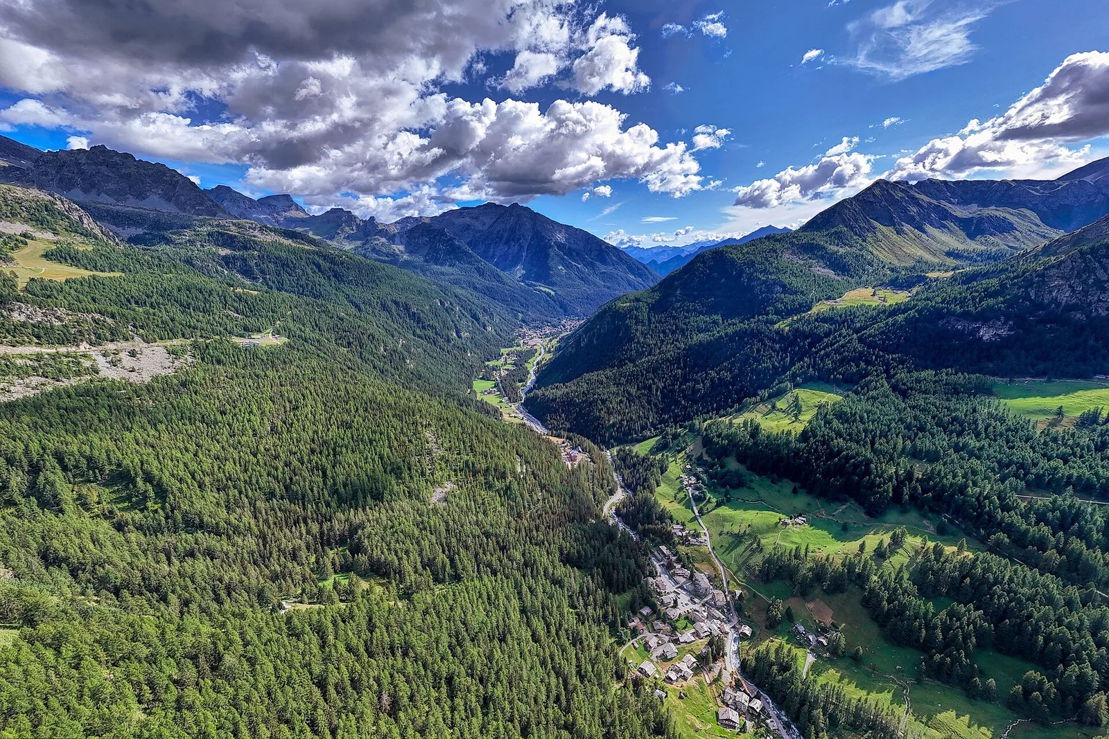
Valle centrale
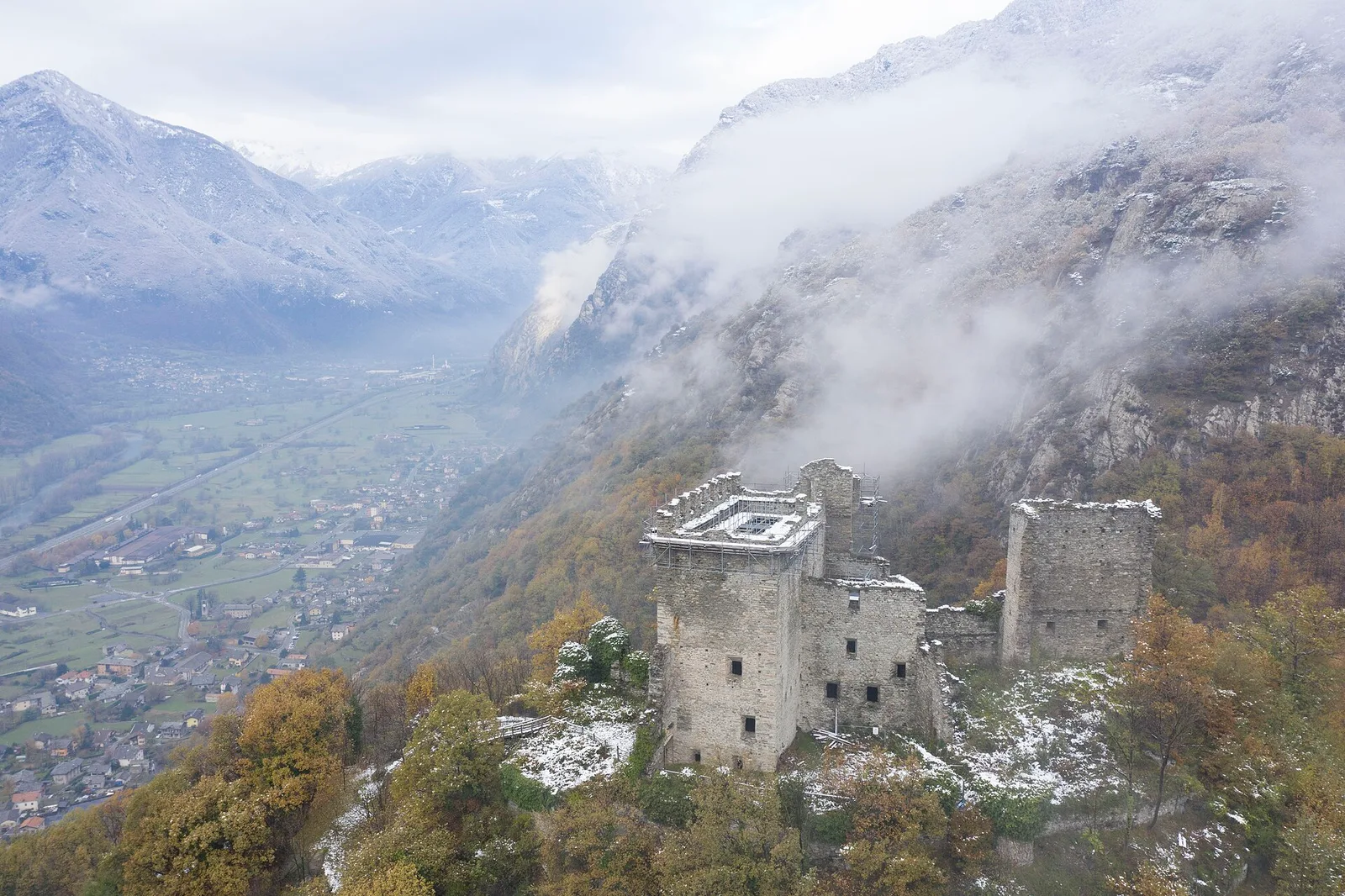
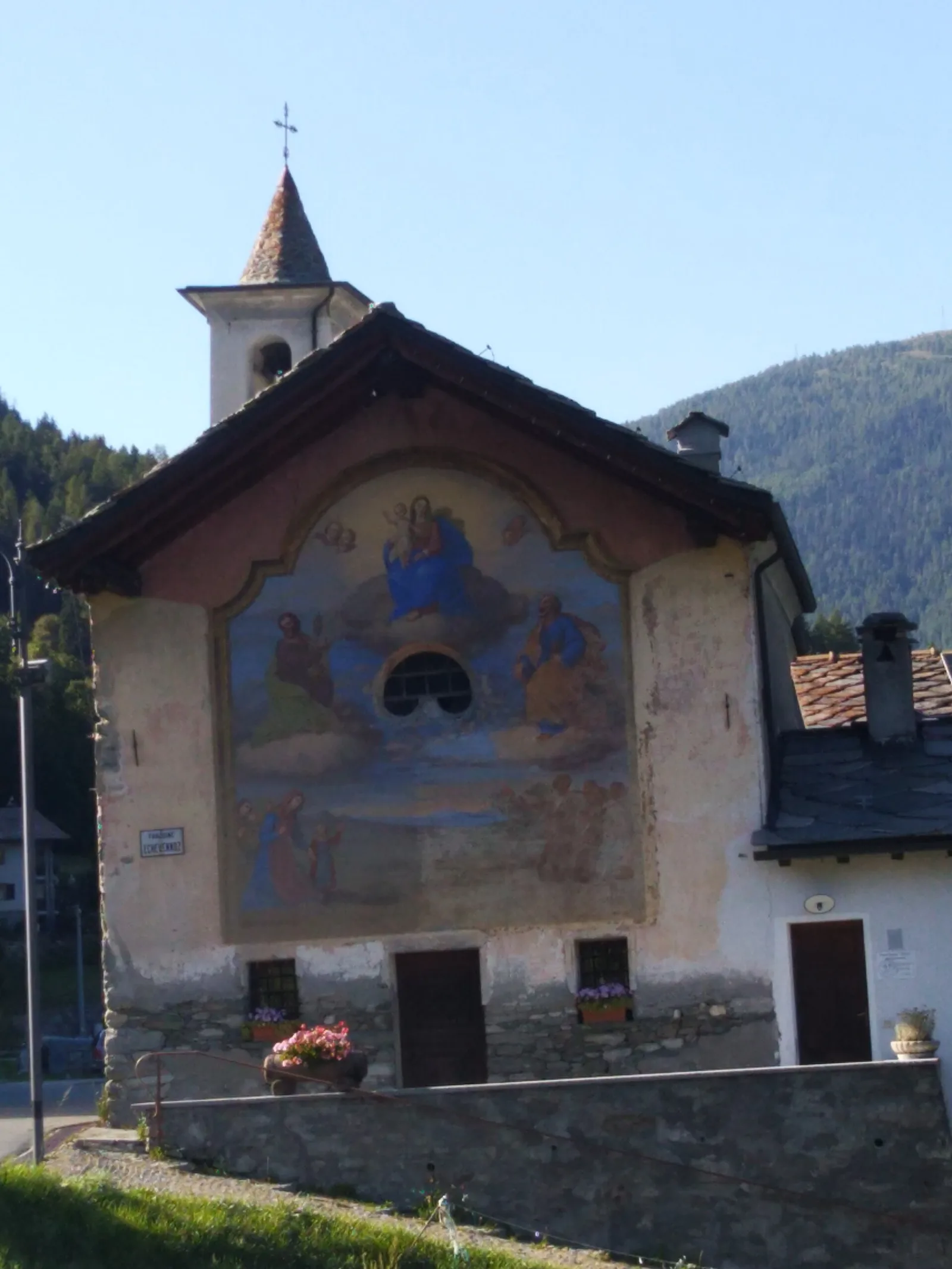
Anello del Verrand
2.6 km · +233 m · E — from Château Verrand to Château Verrand (Rhêmes Valley).
2.6 km+233 m1 h
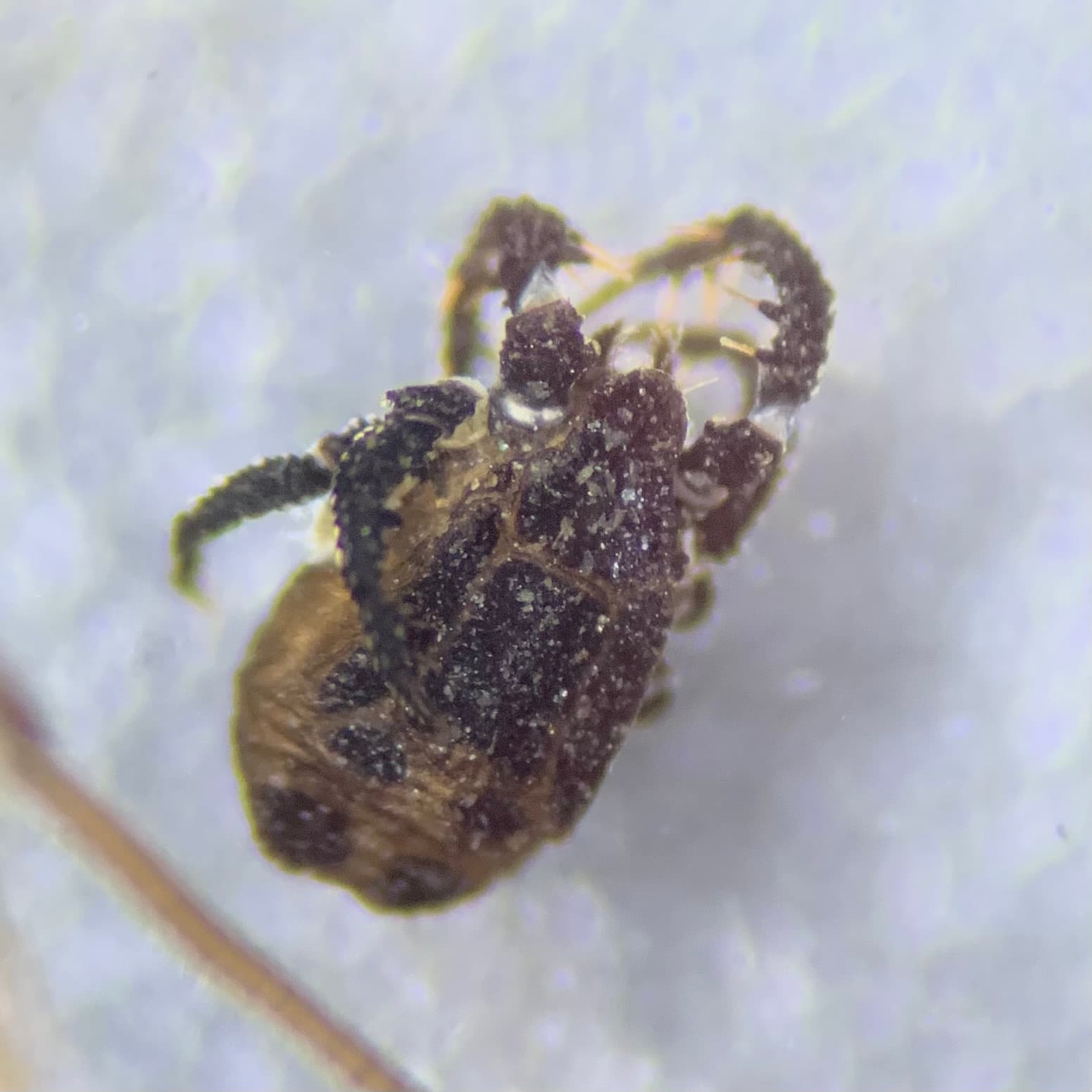
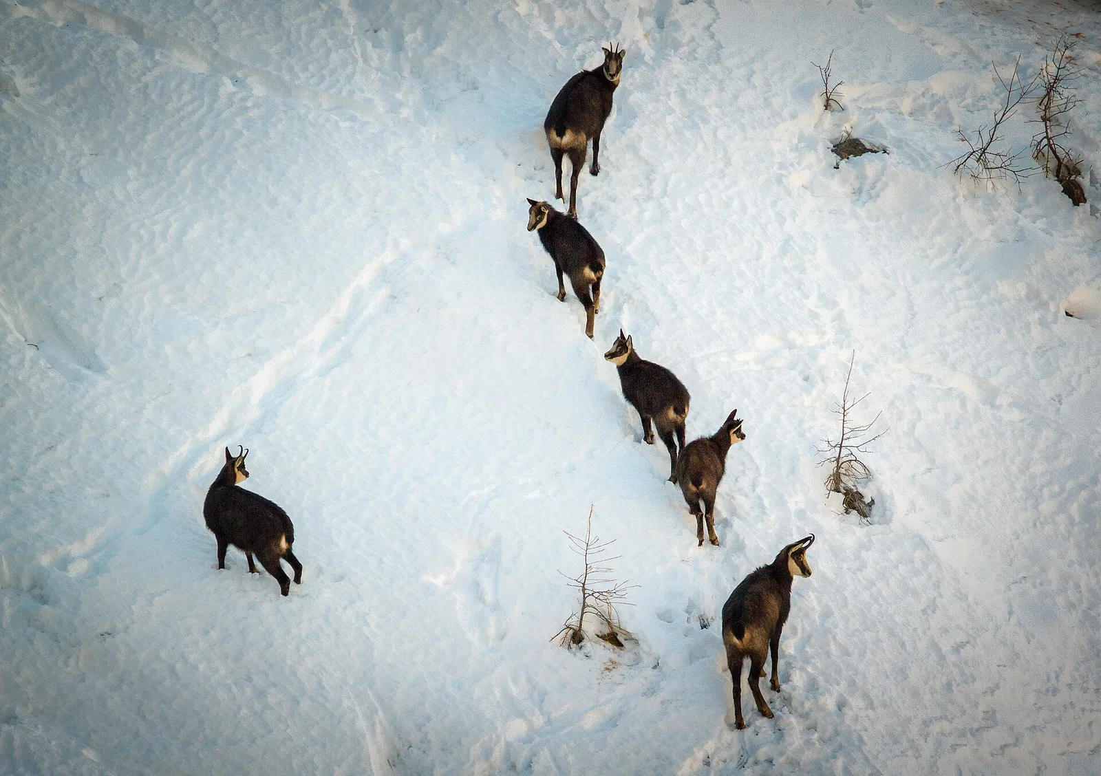
Where to spot
45 trails where Goldcrest is listed in flora/fauna: difficulty T–EE, elevation gain 0–1546 m.
45 · 1.1–9.0 km · +0–1546 m
Valle centrale
2.6 km · +233 m · E — from Château Verrand to Château Verrand (Rhêmes Valley).

Valtournenche
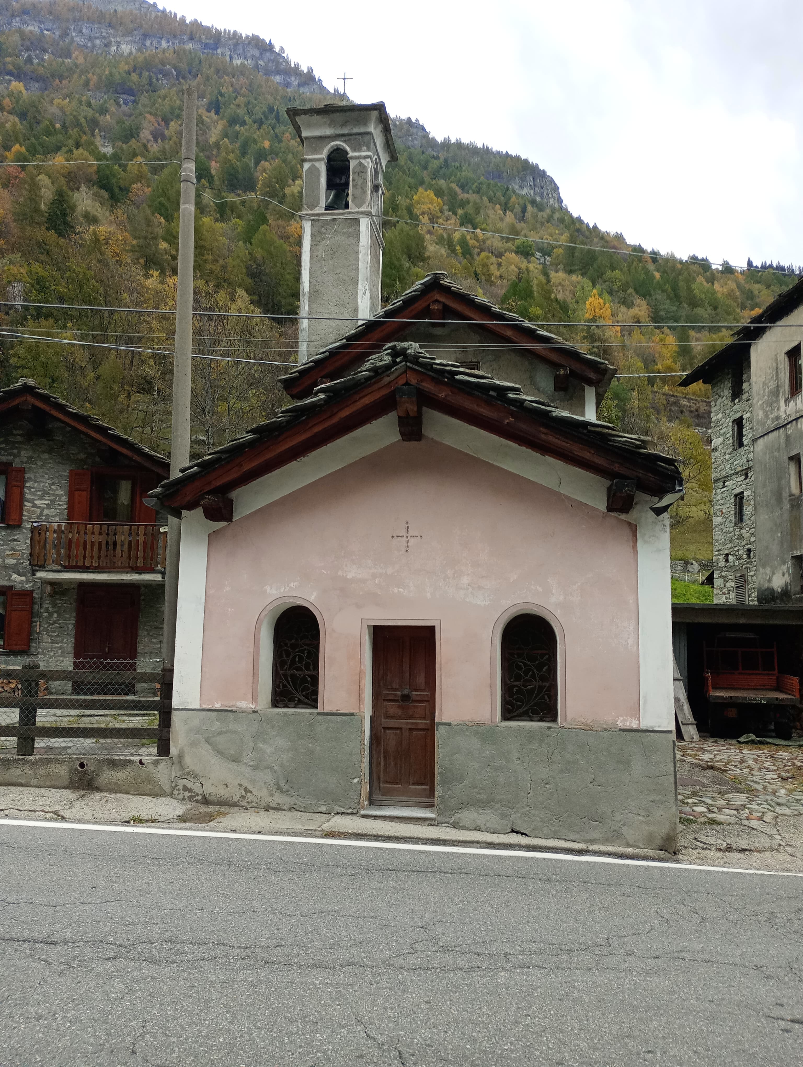
1.9 km · +140 m · E — from Champlève to Champlève (Central Valley).
Valle centrale
2.8 km · +431 m · E — from Avise to St-Nicolas (Valdigne).
Val d'Ayas
1.8 km · +422 m · E — from Capiron to Miniera di Herin (Central Valley).
Val d'Ayas
2.1 km · +264 m · E — from Champoluc to Mandriou (Central Valley).
Valle centrale
From Champsolin to Serignan (1190 m) through terraced vineyards and rural hamlets: the trail that tells the story of Val di Cogne's wine landscape.
Valle di Champorcher
2.7 km · +567 m · E — from Chardonney to Bec de Monpey (Valtournenche).

Valle centrale
2.5 km · +477 m · E — from Château to Morges (La Thuile).
Bassa Valle
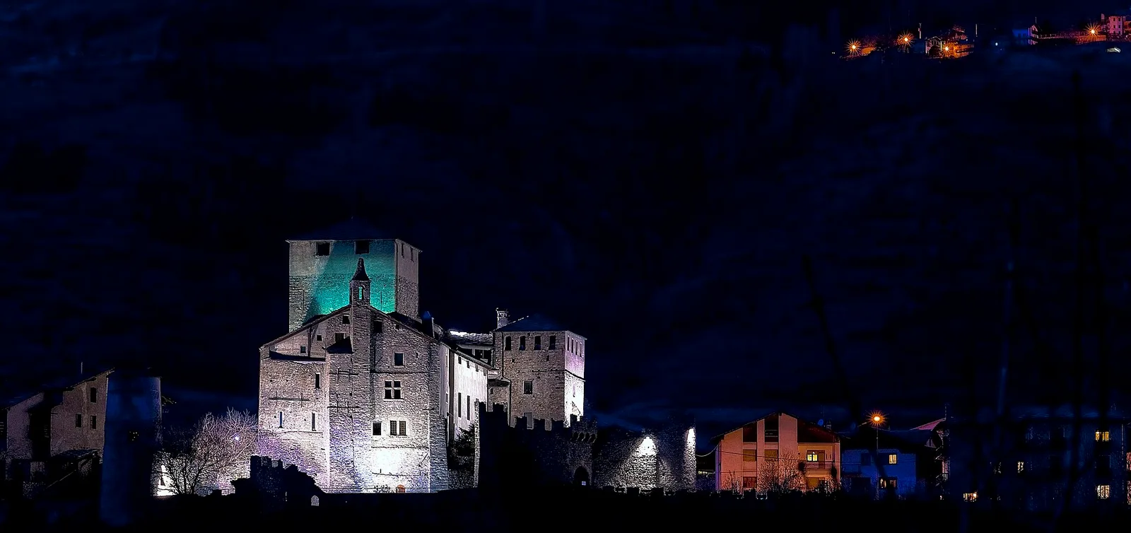
From the valley floor at Chateau Vallaise (454m) to Saint Anne's chapel (1342m): 4.3 km and 921 m of ascent through vineyards, chestnut groves and woodland on the Avise hillside.
Val di Cogne
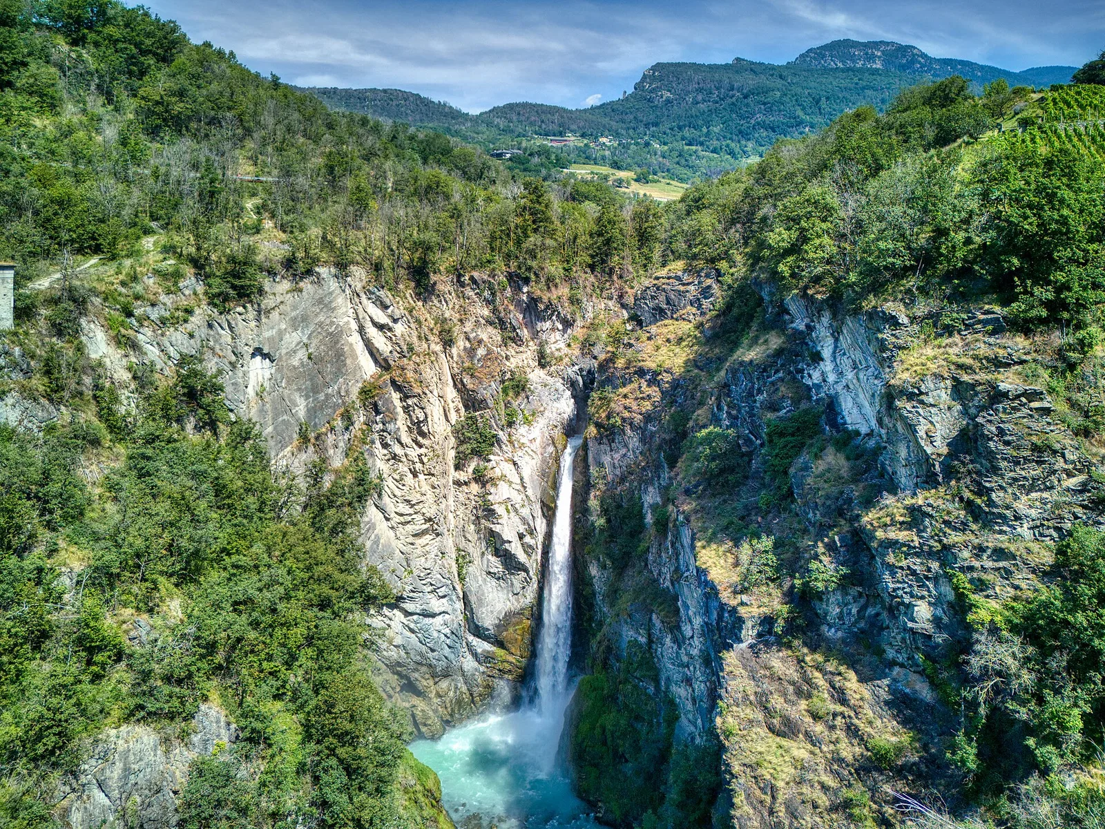
4.1 km · +218 m · T — from Capoluogo to Cascata di Lillaz (Lys Valley).
Valle centrale
1.2 km · +71 m · T — from Col Saint-Charles to Tête d'Arpy (Central Valley).

Valle del Gran San Bernardo
From Ville di Allein, an honest climb through pastures and larch woods to the Dortoir Baravex refuge at 1938 m, in the Great St Bernard valley.
Val d'Ayas
1.6 km · +255 m · E — from Fiéry to Résy (Central Valley).
Valle di Champorcher
1.1 km · +265 m · EE — from Gontier to Grand-Mont-Blanc (Valtournenche).
Valtournenche
2.8 km · +376 m · E — from Confine Comunale Antey -Torgnon to Fontin Dameun (Valpelline).
Valle di Champorcher
1.7 km · +247 m · E — from Grand-Rosier to Col de Plan Fenetre (Valtournenche).
Valtournenche
2.4 km · +23 m · T — from Cappella di Saint-Pantaléon to Saint-Evence (Central Valley).
Bassa Valle
4.2 km · +1074 m · E — from La Clévaz to Plan Fiou (Valsavarenche).
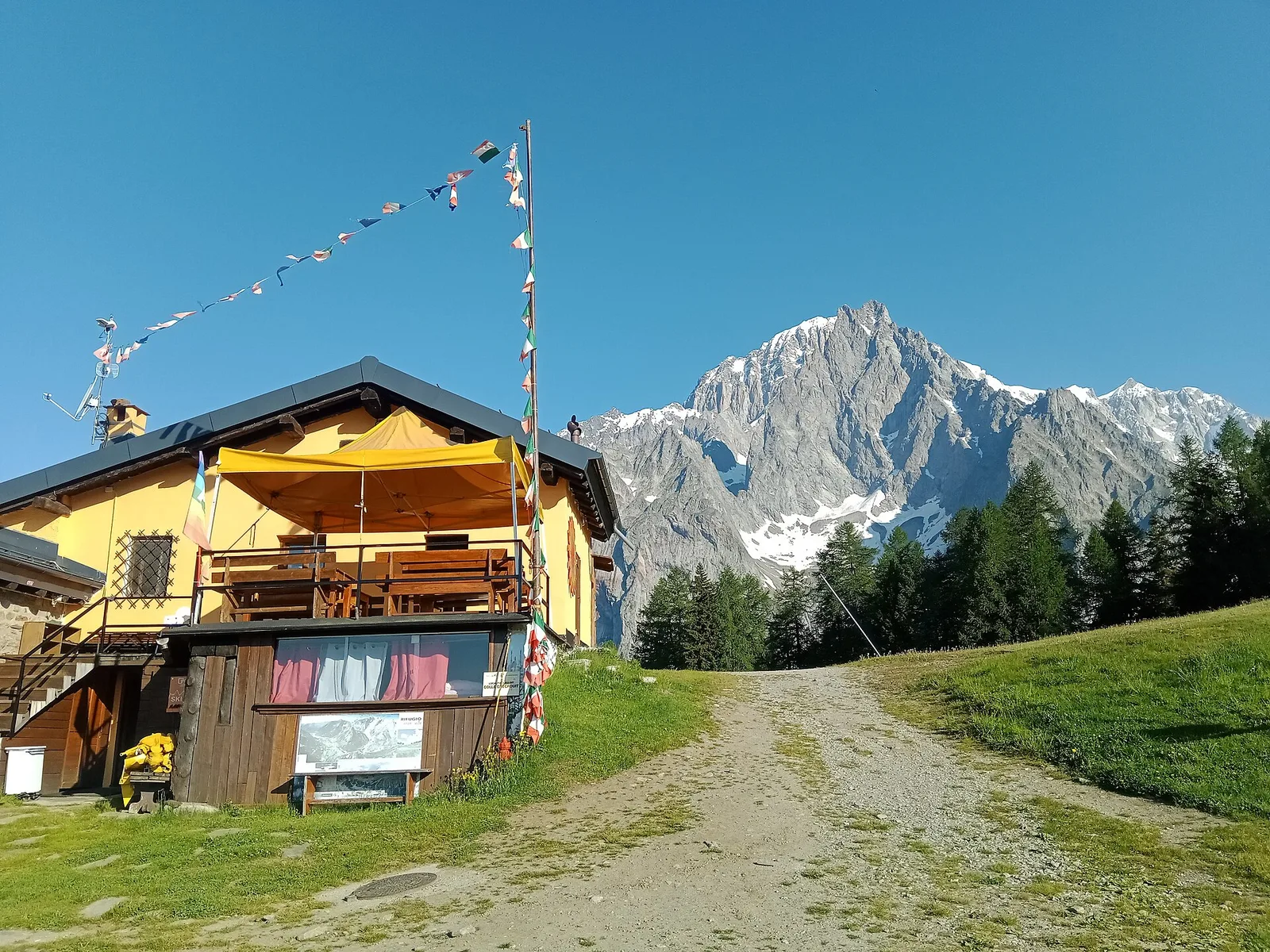
Val Ferret
3.1 km · +774 m · E — from La Palud to Pavillon (Great St Bernard Valley).
Valle centrale
3.3 km · +580 m · E — from Lac du Joux to Col du Mont.Joux (Central Valley).
Valtournenche
1.3 km · +310 m · E — from Lies to tornante S.R. (Valtournenche).
Valle centrale
5.2 km · +408 m · E — from Lignan to Praz (Valpelline).
Valle del Lys
2.3 km · +592 m · E — from Lillianes to Sainte-Marguerite (Central Valley).
Valgrisenche
7.7 km · +299 m · E — from Menthieu, partenza poderale to Incrocio 14A-13/14 (Alpe Revéraz-Dèsot) (Valtournenche).
Valle centrale
5.2 km · +926 m · E — from N.D. to N.D. (Central Valley).
Val d'Ayas
2 km · +282 m · E — from Nabian to Barmata (Ayas Valley).
Valle del Lys
4.8 km · +786 m · E — from Onderwoald to Col Ranzola (Champorcher Valley).
Valpelline
3 km · +0 m · E — from Tornante quota 1309 to Thoules (Lys Valley).
Valle del Gran San Bernardo
5.7 km · +562 m · E — from Petit-Buthier to Alpe Ars (Central Valley).
Valle del Lys
1.7 km · +471 m · E — from Pianatz to Kocia (Great St Bernard Valley).
Bassa Valle
2.4 km · +790 m · E — from Saint-Roch to Col de Plan Fenetre (Central Valley).
Val Veny
5.2 km · +200 m · T — from Plan Ponquet to Visaille (giro dei tre ponti) (Great St Bernard Valley).
Valle centrale
3.4 km · +635 m · E — from Plout to Druges (Great St Bernard Valley).
Valle centrale
6.9 km · +1393 m · E — from municipio Pollein to Arpisson (Lys Valley).
Valle di Champorcher
8.2 km · +936 m · E — from Pommier to Plan Clavalité (Lys Valley).
Bassa Valle
9 km · +1546 m · E — from Pramotton to Alpe Bonze (Valtournenche).
Valsavarenche
2.2 km · +375 m · E — from Rovenaud to Maisoncle (Ayas Valley).
Val d'Ayas
1.4 km · +0 m · E — from Paysan to Casa fine poderale 29 (Ayas Valley).
Valle centrale
In the commune of La Salle, Valdigne: an E-rated climb with significant elevation gain toward upper slope zones.
Valle del Gran San Bernardo
5.5 km · +738 m · E — from Capoluogo to Plan Puitz (Great St Bernard Valley).
Valle del Lys
In the commune of Brusson, Val d'Ayas: a route among hamlets and alpine pastures on the sunny slope with valley views.
Valle del Gran San Bernardo
2.4 km · +411 m · E — from Strada Statale 27, start str militare to Plan Puitz (Central Valley).
Val d'Ayas
5.1 km · +1148 m · E — from Sommarèse to Tête de Comagne (Great St Bernard Valley).
Valle di Champorcher
5.7 km · +1300 m · E — from Fournier to Mont Digny (Champorcher Valley).
Valle centrale
3.3 km · +479 m · E — from Ville to Combes (Lys Valley).