E
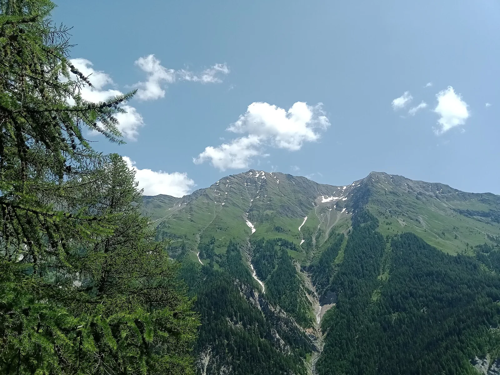
Valle centrale
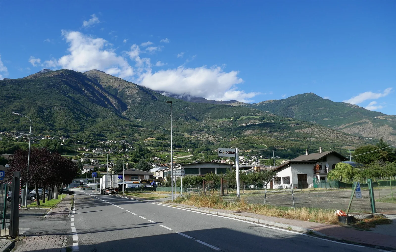
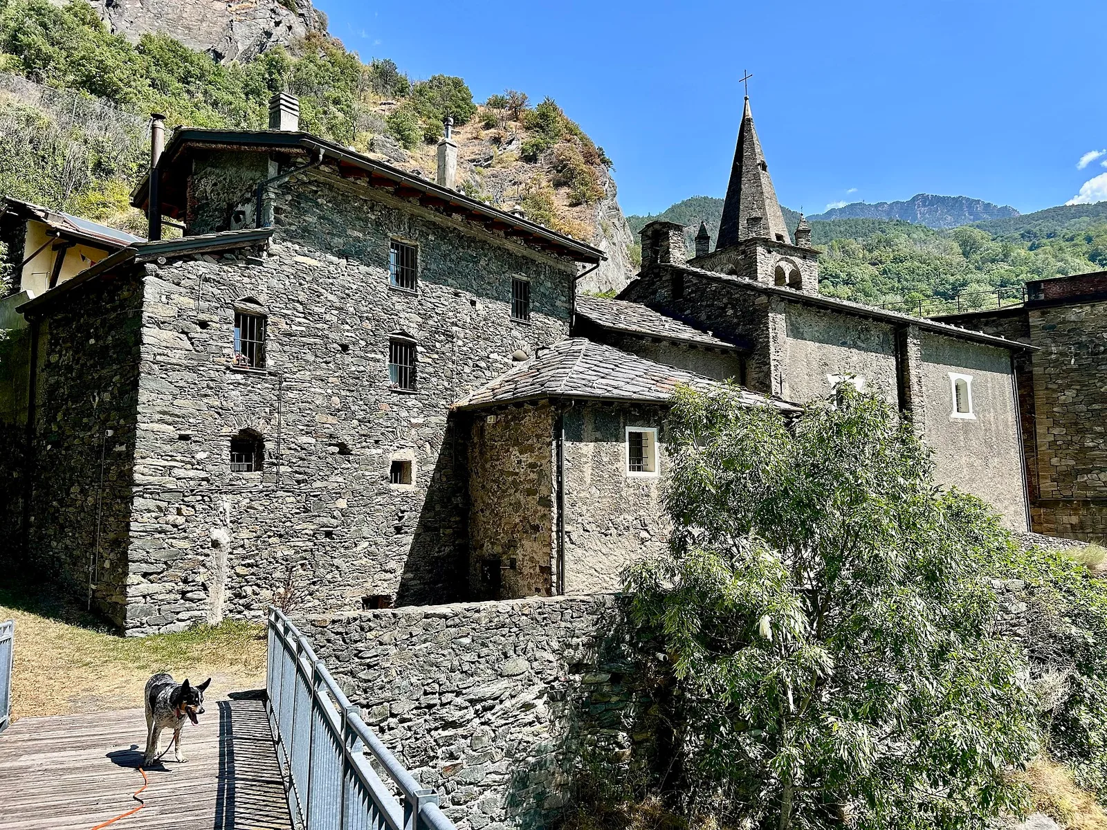
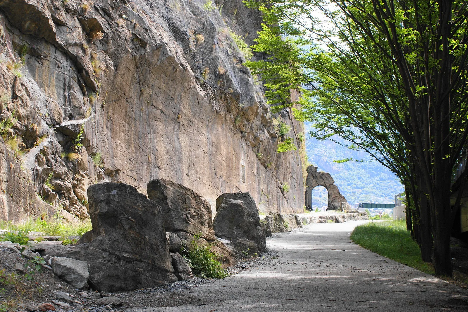
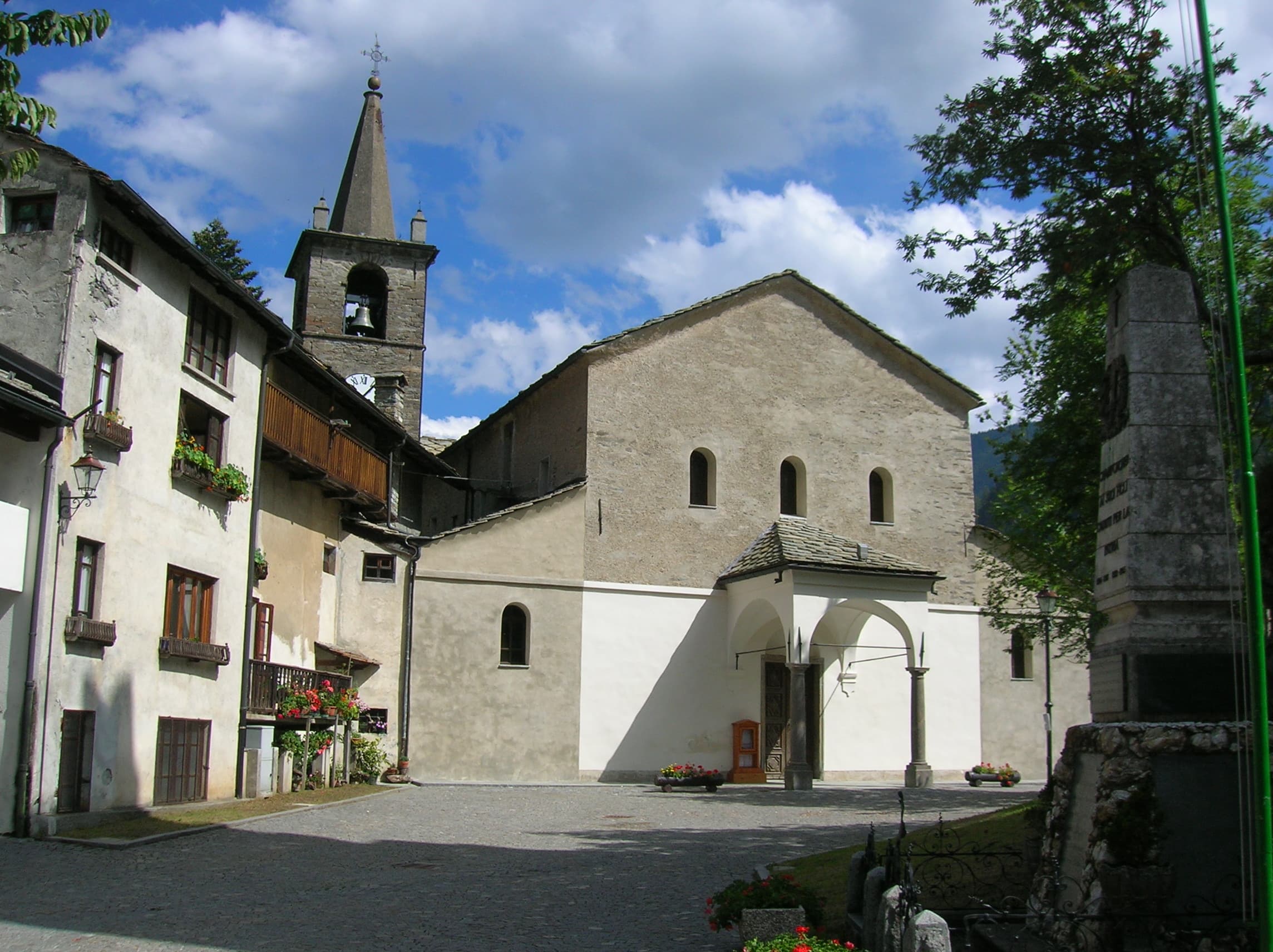
Aymavilles (St-Léger) - Strada regionale per Cogne
0.9 km · +203 m · E — from Aymavilles (St-Léger) to Strada regionale per Cogne (Cogne Valley).
0.9 km+203 m0.5 h
Where to spot
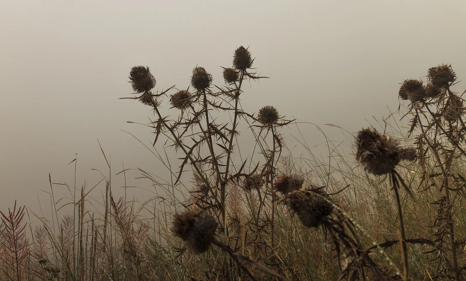
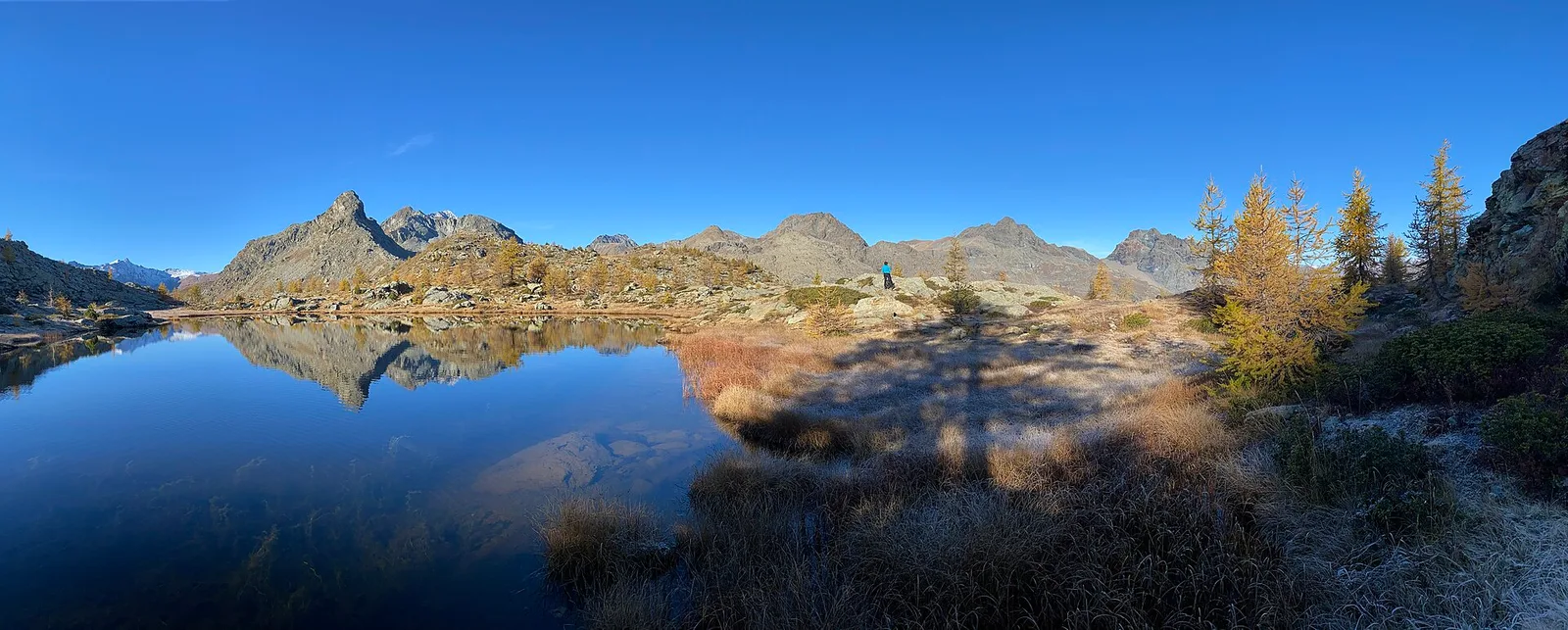
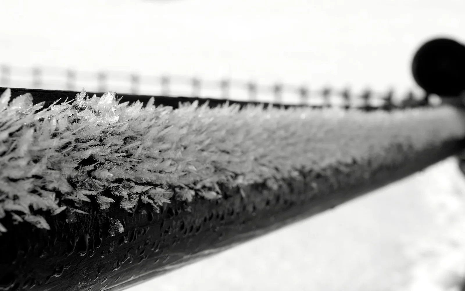
60 trails where Wood mouse is listed in flora/fauna: difficulty T–EE, elevation gain 21–1722 m.
60 · 0.9–17.4 km · +21–1722 m
Valle centrale
0.9 km · +203 m · E — from Aymavilles (St-Léger) to Strada regionale per Cogne (Cogne Valley).
Valtournenche
3.3 km · +507 m · EE — from Berzin to Cappella di Saint-Evence (Valpelline).
Valle centrale
5 km · +816 m · E — from Blavy to Col de Joux (Valpelline).
Valtournenche
In the commune of Antey-Saint-André, Valtournenche: an E-rated route across sunny slopes, hamlets and pastures.
Valtournenche
A long traverse through Valtournenche from the vineyards of Bourg (1,078 m) to the pastures of Maen (1,991 m), with views toward the Matterhorn.
Valtournenche
2.6 km · +21 m · E — from N.D. to N.D. (Central Valley).
Bassa Valle
2.4 km · +471 m · E — from Cappella Sant'Erasmo to Reserve Naturelle de Holay (Central Valley).
Val di Rhêmes
1.8 km · +74 m · T — from Chanavey to Bruil, Foyer de Fond (Great St Bernard Valley).
Valle centrale
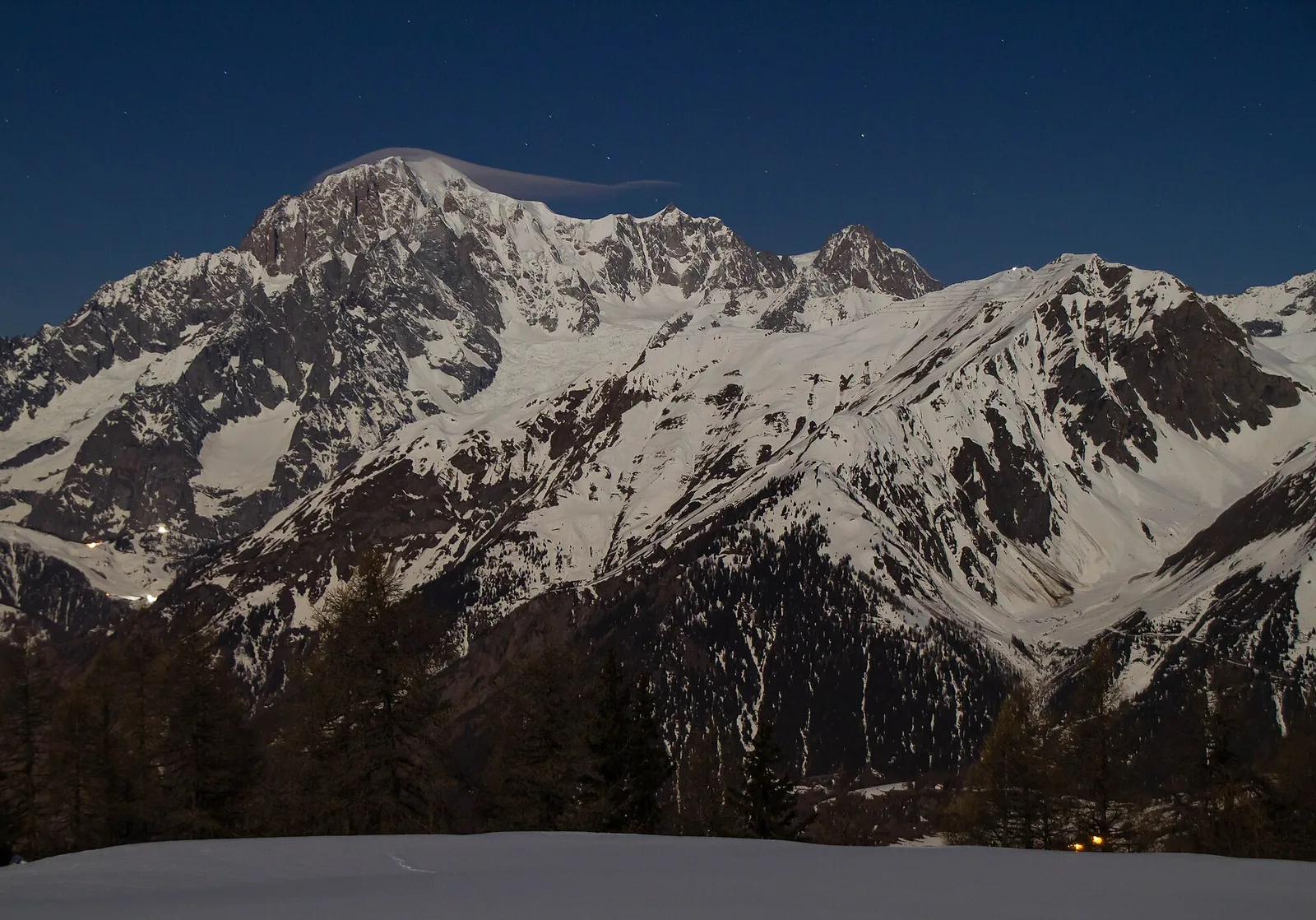
In the Valdigne, La Salle: an E-rated climb toward upper slope zones with views of Mont Blanc.
Valle centrale
2.5 km · +477 m · E — from Château to Morges (La Thuile).
Bassa Valle
From the valley floor at Chateau Vallaise (454m) to Saint Anne's chapel (1342m): 4.3 km and 921 m of ascent through vineyards, chestnut groves and woodland on the Avise hillside.
Valle centrale
5.2 km · +959 m · E — from Via Chanoux to Promiod (Valdigne).
Valle centrale
1.5 km · +89 m · T — from Chenière to Moulin (Lys Valley).
Valle centrale
3.1 km · +121 m · T — from Col Saint-Charles to Lac d'Arpy (Central Valley).
Valsavarenche
2.5 km · +549 m · E — from Degioz to Bocconère (Ayas Valley).
Val di Cogne
3.1 km · +291 m · E — from Epinel to Gimillan (Lys Valley).
Val d'Ayas
1.2 km · +276 m · E — from Estaod (Montjovet) to Emarèse (Great St Bernard Valley).

Valle centrale
1.4 km · +164 m · E — from Feilley to Moron (Valtournenche).
Bassa Valle
2.5 km · +373 m · E — from Fey to Piatolet (Central Valley).
Valle centrale
2.5 km · +364 m · E — from Fossaz, strada carrozzabile per Vens to Vens (Central Valley).
Valle centrale
3.5 km · +623 m · E — from Gouilles to Del (Valtournenche).
Bassa Valle
4.2 km · +1074 m · E — from La Clévaz to Plan Fiou (Valsavarenche).
Valle centrale
2 km · +207 m · E — from La Ravoire to Castello di Montmayeur (Valgrisenche).
Valle centrale
5.8 km · +1201 m · E — from Pont Suaz to Ermitage de Saint-Grat (Cogne Valley).
Val d'Ayas
1.1 km · +260 m · E — from Lignod to Barmasc (Central Valley).
Val d'Ayas
1.6 km · +294 m · E — from Lignod to Incrocio Ru (Central Valley).
Val d'Ayas
5.6 km · +793 m · E — from Lo Pian to Covarey (Parcheggio) (Central Valley).
Valle del Lys
2.8 km · +392 m · E — from Lysbalma to Ondermonté (Champorcher Valley).
Valle del Gran San Bernardo
8.2 km · +580 m · E — from Mendey to La Lanche (Central Valley).
Bassa Valle
8.8 km · +1603 m · E — from Monteil to Lac Liet (Valtournenche).
Valle centrale
1.5 km · +284 m · E — from Moulin to Plout (Great St Bernard Valley).
Val d'Ayas
2 km · +282 m · E — from Nabian to Barmata (Ayas Valley).
Valle centrale
8.2 km · +1324 m · E — from Nus to Issologne (Valpelline).
Valle di Champorcher
2.2 km · +442 m · E — from Outre l'Eve to Alpe Monpey (Valtournenche).
Valpelline
In the Valpelline, commune of Bionaz: an E-rated climb from forest to the Comba di Vertsan pastures.
Valtournenche
3.7 km · +317 m · E — from Paquier to Champleve (Central Valley).
Valle centrale
4.2 km · +778 m · E — from Perron to Cretes (Lys Valley).
Val Veny
5.2 km · +200 m · T — from Plan Ponquet to Visaille (giro dei tre ponti) (Great St Bernard Valley).
Valgrisenche
1.3 km · +319 m · E — from Planté to Verconey damon (Valtournenche).
Valle del Lys
1.8 km · +448 m · E — from Posa to Saroun (Lys Valley).
Valle centrale
1.6 km · +202 m · E — from Remiod (Rumiod) to Grand Sarriod (Central Valley).
Valle di Champorcher
2.1 km · +331 m · EE — from Remoran to Col Terre Rousse (Valtournenche).
Valle del Gran San Bernardo
10.4 km · +67 m · E — from Reysod to Etroubles (Central Valley).
Bassa Valle
6.2 km · +567 m · E — from Rovarey to Santuario Notre Dame de la Garde (Valtournenche).
Bassa Valle
2.9 km · +391 m · E — from Poline desot to Ronchas (Central Valley).
Valle del Lys
4.2 km · +802 m · EE — from Sainte-Marguerite to Col Giassit (Central Valley).
Valle centrale
4.3 km · +688 m · E — from Sorressamont to Champromenty (Lys Valley).
Bassa Valle
2.4 km · +355 m · E — from Strada to Omens (Valtournenche).
Val d'Ayas
2 km · +370 m · E — from Strada Regionale to Arbaz (Ayas Valley).
Valle centrale
6 km · +977 m · E — from Terme to Col de Joux (Valtournenche).
Valtournenche
7 km · +702 m · E — from Plau to Plau (Central Valley).
Valpelline
4 km · +235 m · E — from Crétaz to Crétaz (Lys Valley).
Valle di Champorcher
5.2 km · +1722 m · E — from Varesa to Chavanna (Champorcher Valley).
Valle centrale
High-level traverse from Vedun (1519m) to Jovençan (1868m) in the Valdigne: 6 km through historic pastures with Mont Blanc as backdrop.
Valle centrale
2.4 km · +151 m · E — from Verrogne to Vetan (Central Valley).
Valle centrale
1.9 km · +80 m · E — from Vetan dessus to Leytanettaz (St-Nicolas) (Central Valley).
Valle centrale
3.9 km · +713 m · E — from Veynes to Valtolanaz (Central Valley).
Valle centrale
2.8 km · +398 m · E — from Villair to Trou des Romains (Great St Bernard Valley).

Valle di Champorcher
2.8 km · +601 m · E — from Visey dessus to Col Terre Rousse (Central Valley).
Val d'Ayas
1.5 km · +331 m · E — from Vollon (Brusson) to Salomon (Ayas Valley).