
E
Valle centrale
Anello del Verrand
2.6 km · +233 m · E — from Château Verrand to Château Verrand (Rhêmes Valley).
2.6 km+233 m1 h
Where to spot
30 trails where Italian crested newt is listed in flora/fauna: difficulty T–EE, elevation gain 0–1238 m.
30 · 0.5–13.2 km · +0–1238 m
Valle centrale
2.6 km · +233 m · E — from Château Verrand to Château Verrand (Rhêmes Valley).
Val d'Ayas
9.4 km · +1238 m · EE — from Isollaz to Isollaz (Ayas Valley).
Valtournenche
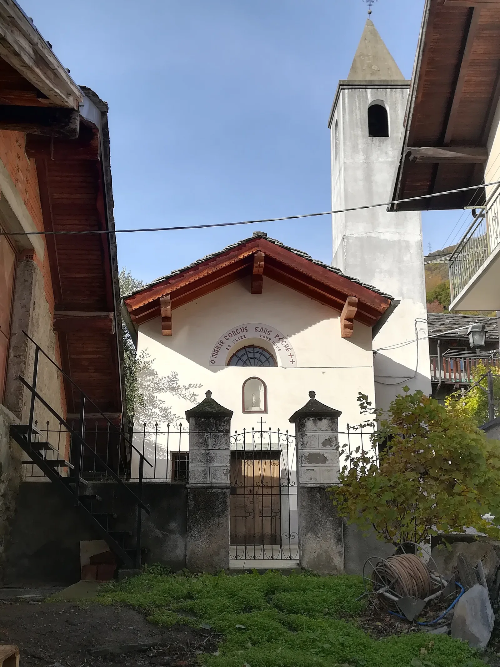
In the commune of Antey-Saint-André, Valtournenche: an E-rated route across sunny slopes, hamlets and pastures.
Valle centrale
4.4 km · +543 m · E — from Champlong dessus to Petit-Poignon (Central Valley).
Valle centrale
A steady climb in the Valdigne from Charbonnière (1,271 m) to Vedun (1,519 m) in the municipality of La Salle: 3.5 km, 380 m ascent.
Valle centrale
1.8 km · +219 m · E — from Cossèi to Belvedere Tsan (Lys Valley).
Val d'Ayas
0.7 km · +133 m · E — from Erésaz to Borna da Ghiasa (Great St Bernard Valley).

Valle centrale
1.4 km · +164 m · E — from Feilley to Moron (Valtournenche).
Valle centrale
2.7 km · +0 m · E — from Gignod to Ru Bourgeois - Cré (Central Valley).
Val Ferret
1.8 km · +163 m · E — from La Palud to Planpincieux (Great St Bernard Valley).
Valle centrale
From the Valgrisenche valley floor at Leverogne (721 m) to the hilltop village of Saint-Nicolas (1,203 m): 3.4 km and 499 m of ascent.
Valle del Lys
2.3 km · +592 m · E — from Lillianes to Sainte-Marguerite (Central Valley).
Valle di Champorcher
2.1 km · +183 m · E — from Mellier to Grand-Rosier (Valtournenche).
Valle centrale
1.5 km · +284 m · E — from Moulin to Plout (Great St Bernard Valley).
Valle centrale
4.3 km · +591 m · E — from Nus to Blavy (Valpelline).
Bassa Valle
1.3 km · +111 m · E — from Rovarey to Croce della Missione (Valtournenche).
Bassa Valle
3.8 km · +581 m · E — from Plan de Brun to Fey (Central Valley).
Valle centrale
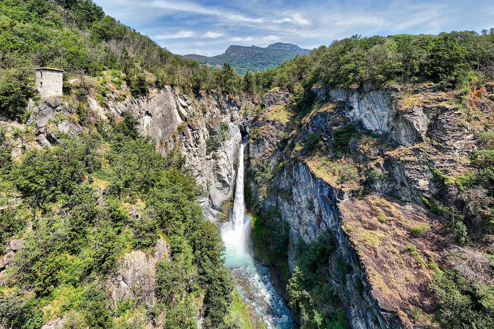
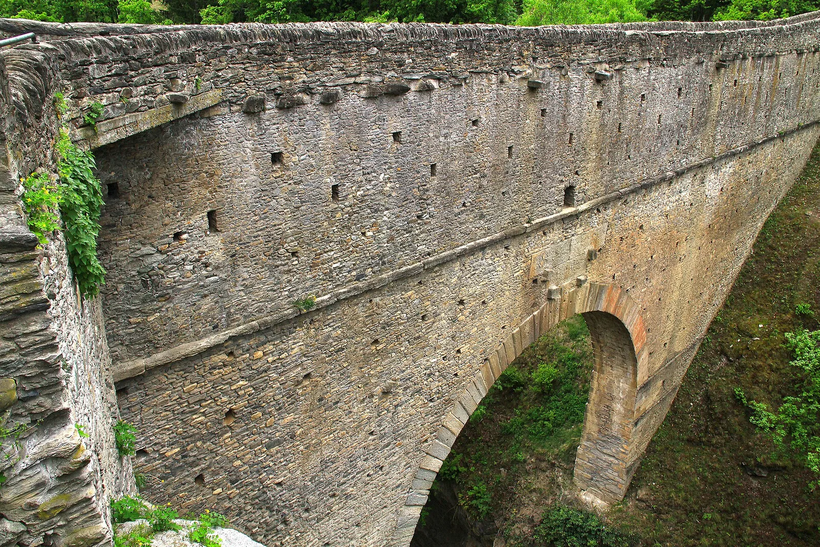
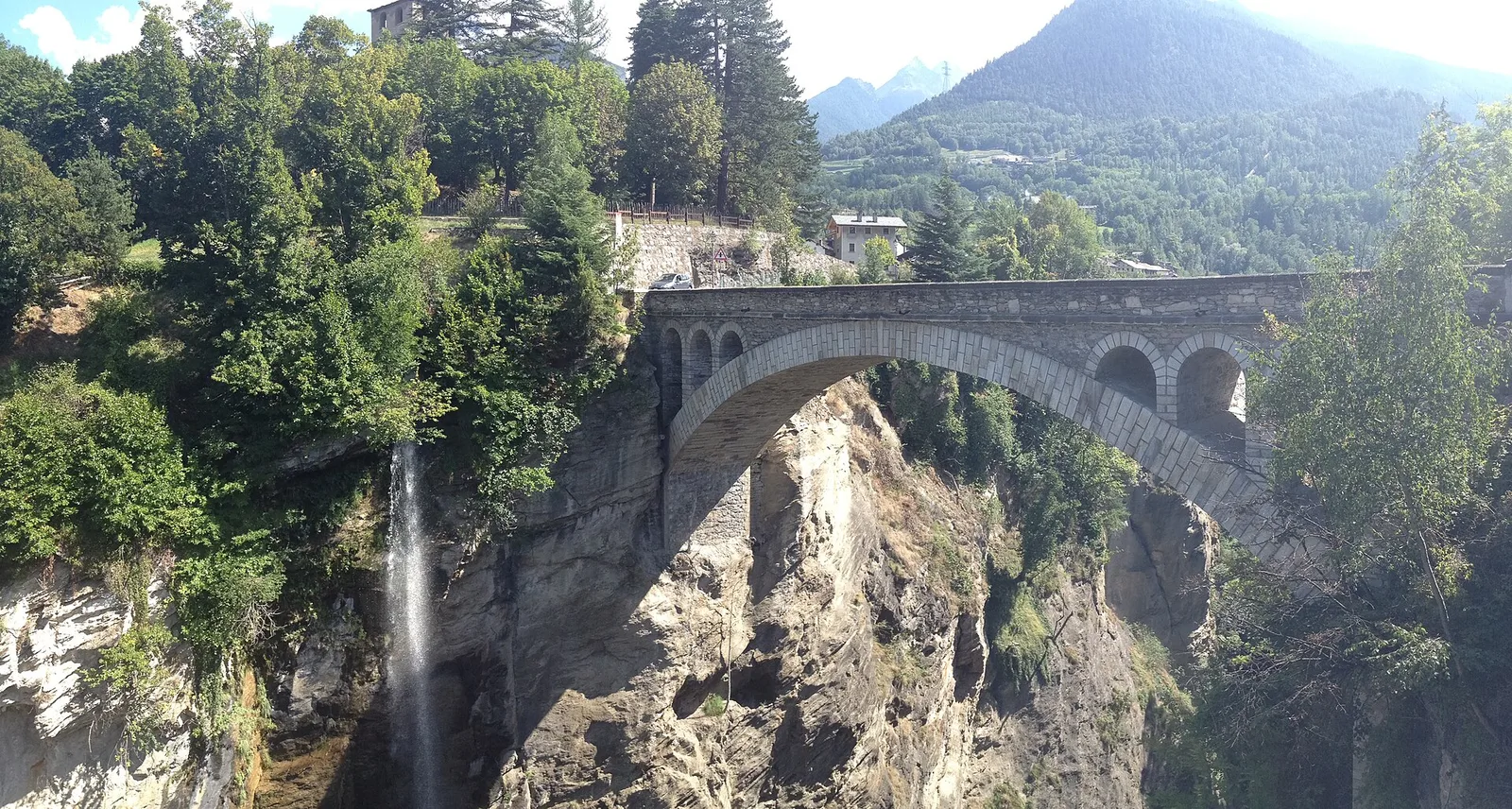
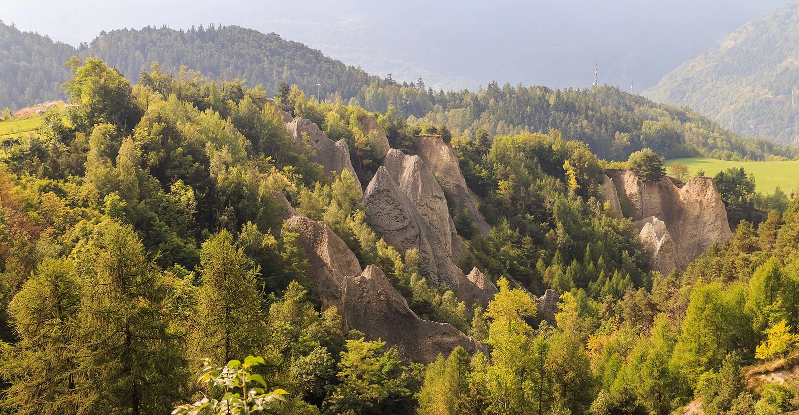
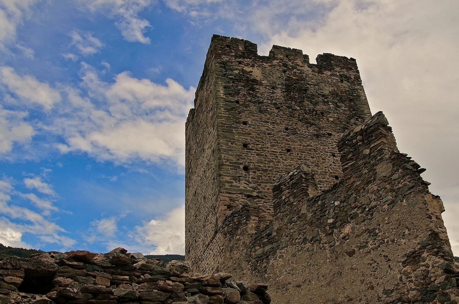
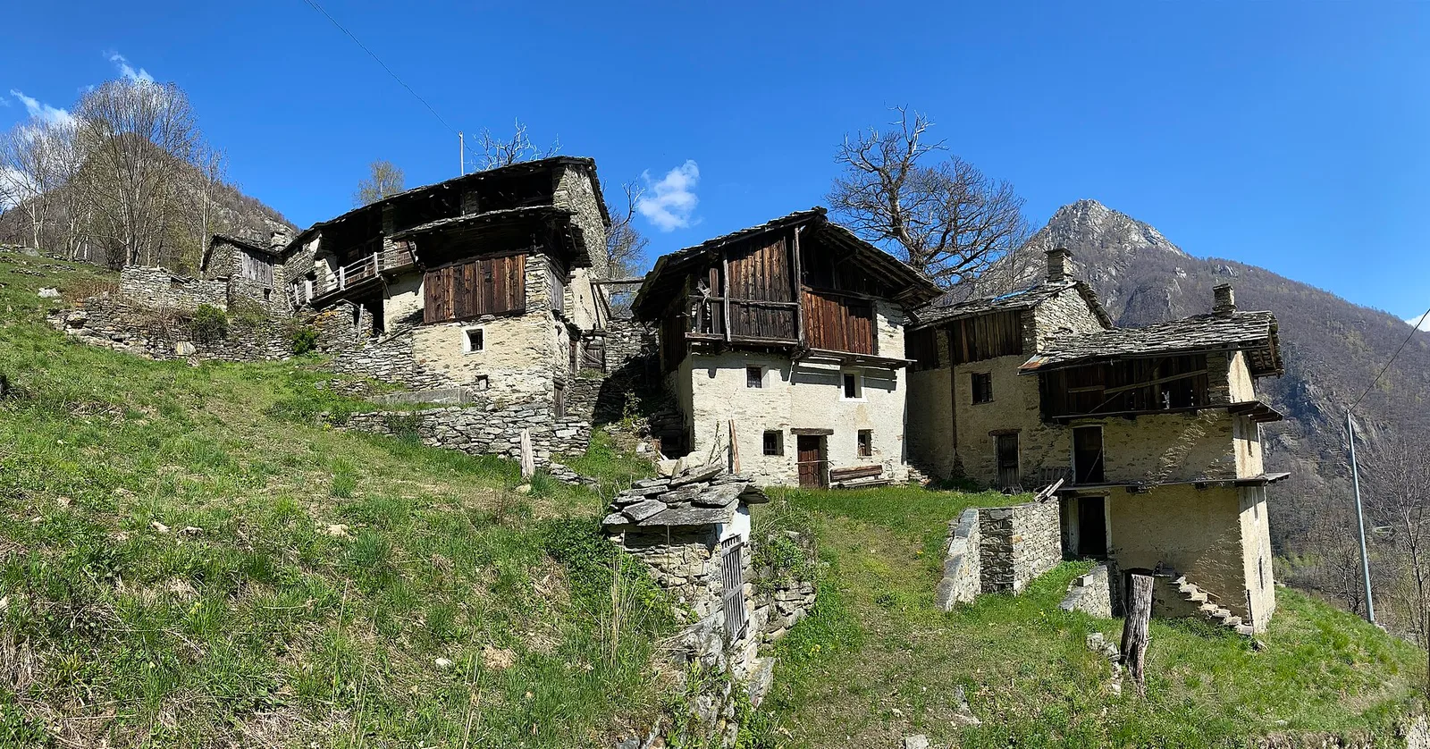
From the Roman Pont d'Ael (3 BC) at Pondel, a sustained climb into the wild Grand Eyvia valley to the quiet alp of Petit Poignon.
Valle centrale
From the Dora Baltea bridge (500 m) to Verthuy (1058 m) above Châtillon: 568 m in 3.6 km. Quick transition from valley floor to terraced meadows.
Val d'Ayas
2.6 km · +308 m · E — from Quinçod to Alésaz (Ayas Valley).
Valle del Gran San Bernardo
0.8 km · +34 m · T — from Saint-Oyen to Pallais dessous (Great St Bernard Valley).
Bassa Valle
3.8 km · +1070 m · E — from Saint-Roch to La Borney (Central Valley).
Valle centrale
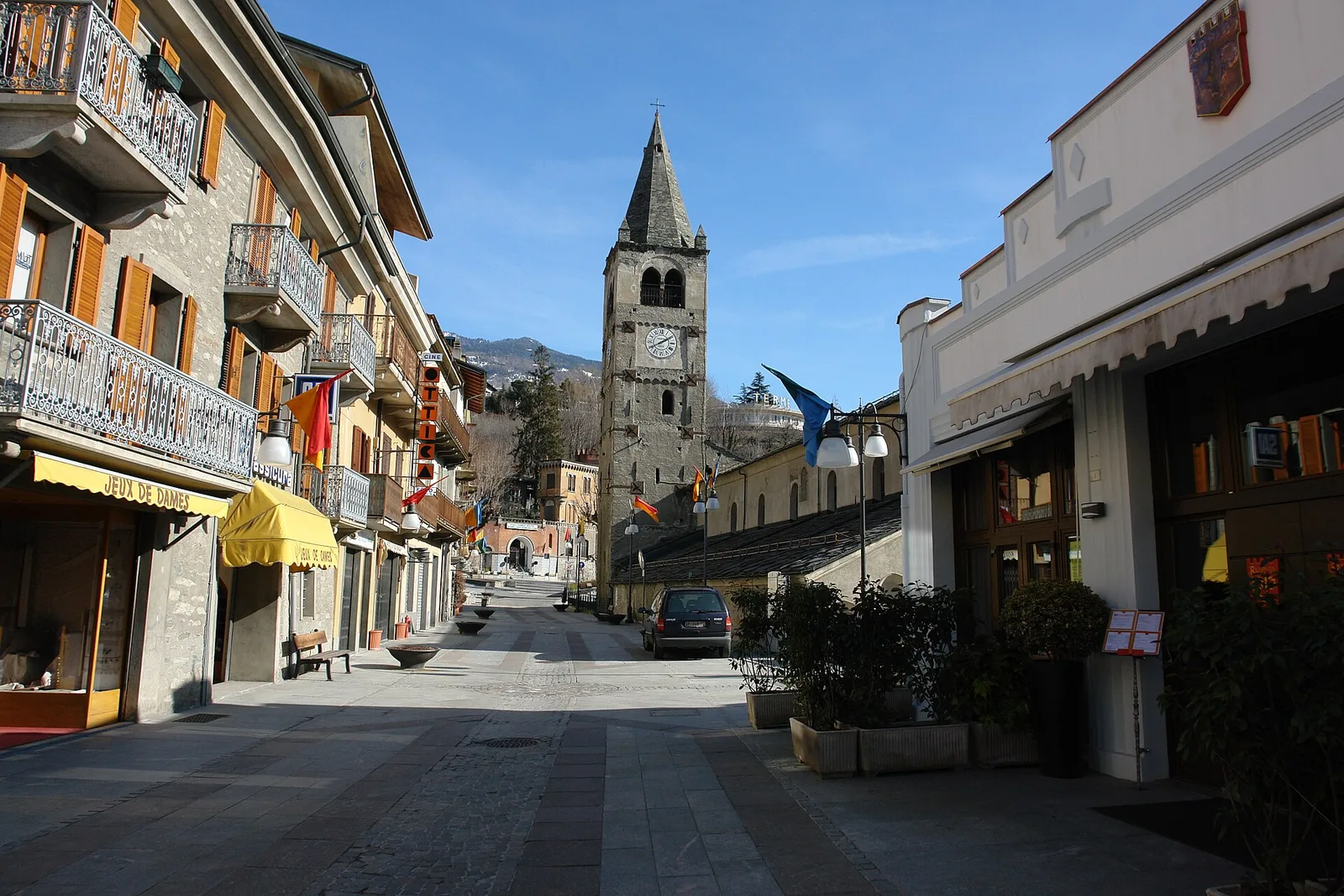
1.1 km · +75 m · E — from Terme to Maison Neuve (Valtournenche).
Val d'Ayas
1.5 km · +367 m · T — from Strada Statale 26 to Croix de Saint-Gilles (Valtournenche).
Valle centrale
11.1 km · +547 m · E — from Roisan to Arpuilles (Valtournenche).
Bassa Valle
13.2 km · +0 m · E — from Pontboset to Pont-Saint-Martin (Champorcher Valley).
Valle di Champorcher
0.5 km · +167 m · E — from Terrisse to Attacco Mont Charvatton (Champorcher Valley).
Valle centrale
2.3 km · +394 m · E — from Tiller to Valmianaz (Lys Valley).
Valpelline
3.3 km · +419 m · E — from Valpelline capoluogo to Capoluogo (Valtournenche).
Valle centrale
2.9 km · +466 m · E — from Veyves to Parleyaz (Central Valley).