Lake Djouan from Valnontey

11 km
+850 m
−850 m
5.5 h
Fitness level
~2700 kcal estimated
Elevation profile
Map & route
Download GPXGPX track — verify on the ground before hiking
Description
From Valnontey village (1666 m), a well-marked trail climbs the Lauson pastures up to Lake Djouan at 2515 m. Ibex sightings are very likely, especially early morning. Crowded in August — start before 8 AM.
Key points
Alpe Lauson
2100 m · 5.5 km from start
Pastures with frequent ibex sightings
Earth sciences
Geology & landscape
The trail climbs the southern Gran Paradiso slope on Penninic calcschists and micaschists with augen gneiss outcrops of the Austroalpine basement above 2200 m. Lauson pastures develop on Würmian glacial deposits with rebuilt moraines and lacustrine sediments. Lake Djouan occupies a cirque carved by the Würm glacier with terminal moraines and proglacial deposits. Rocks around the lake show glacial striations and meltwater potholes. Gran Paradiso granite (Dora-Maira unit) outcrops appear near Becca di Moncorvé. Periglacial scree deposits indicate instability on slopes above 2400 m.
History & culture
Valnontey is the southern gateway to Gran Paradiso National Park, established in 1922. The lake is a classic ibex-watching destination, symbol of the park.
Water sources
Fountain in Valnontey. Springs at Lauson in summer. Do not drink lake water.
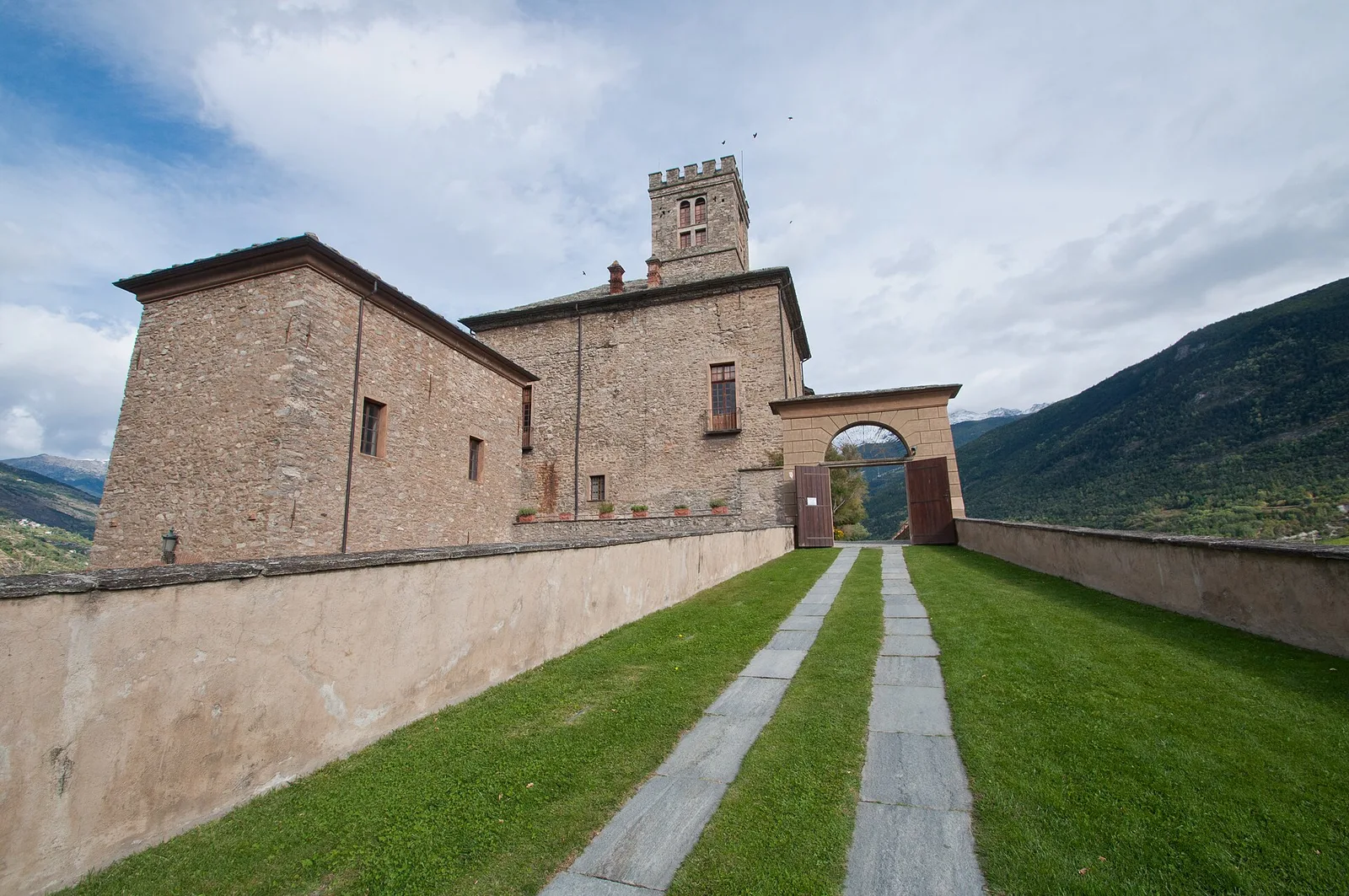
Getting there
VITA bus to Cogne from Aosta with Valnontey connection in peak season.
Parking
Parcheggio Lauson a Valnontey (area del Parco Nazionale Gran Paradiso).
Warnings
- Start before 8 AM in August to avoid crowds
- Do not approach ibex (minimum 30 m distance)
- Afternoon thunderstorms common in summer
Nearby peaks
Start & end
Start
Valnontey
1666 m
Finish
Valnontey
1666 m
Refuges & bivouacs
Photo gallery
Flora along the trail
Wildlife to spot
Val di Cogne
Related trails
Same valley or similar routes — more hikes to explore.

Val di Cogne
High Route 2 — Stage 10: Cogne → Rifugio Sogno di Berdzé
Climb from Cogne centre to Rifugio Sogno di Berdzé at Péradzà.

Val di Cogne
High Route 2 — Stage 9: Rifugio Vittorio Sella → Cogne
Scenic descent from Vittorio Sella to Cogne via Valnontey.
Val di Cogne
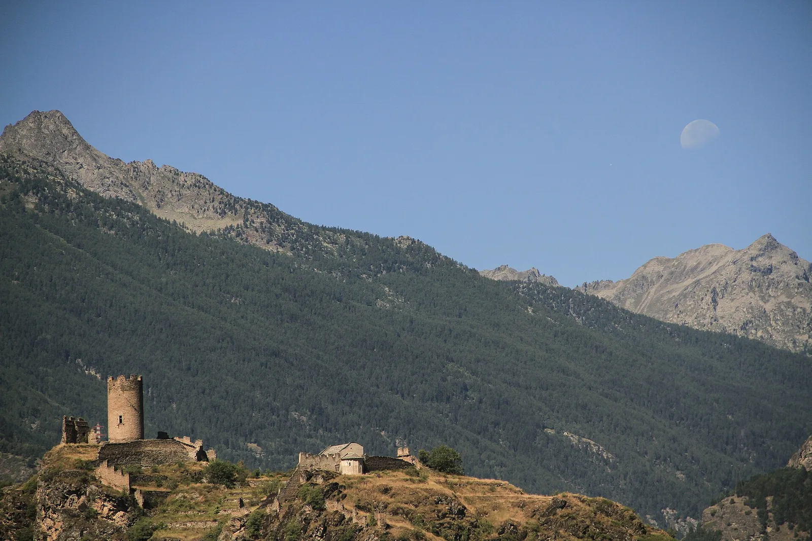
Aymavilles - Torlin
4 km · +848 m · E — from Aymavilles to Torlin (Cogne Valley).
Val di Cogne
Aymavilles (Moulin) - Petit Poignon
6.2 km · +926 m · E — from Aymavilles (Moulin) to Petit Poignon (Cogne Valley).