Tour du Rutor — Stage 5: Sainte-Foy-Tarentaise → La Rosière
9 km
+851 m
−122 m
4.5 h
Fitness level
Map & route
GPX track — verify on the ground before hiking
Description
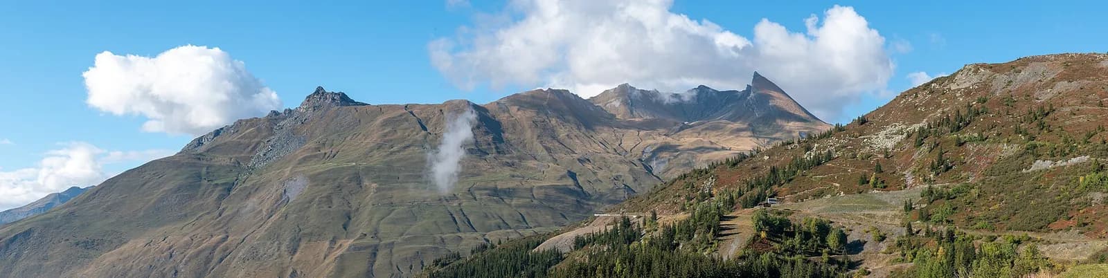
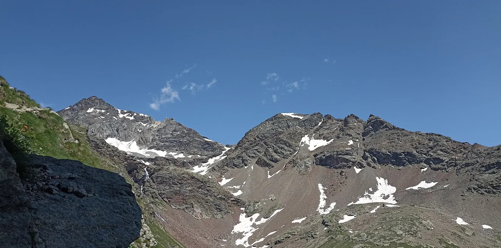
A linking stage on the French side: from Sainte-Foy cross the villages of the Haute-Tarentaise, among baroque churches, forests and hanging meadows above the Isère valley, climbing gradually to the resort of La Rosière (1,850 m) on the Petit Saint-Bernard slope.
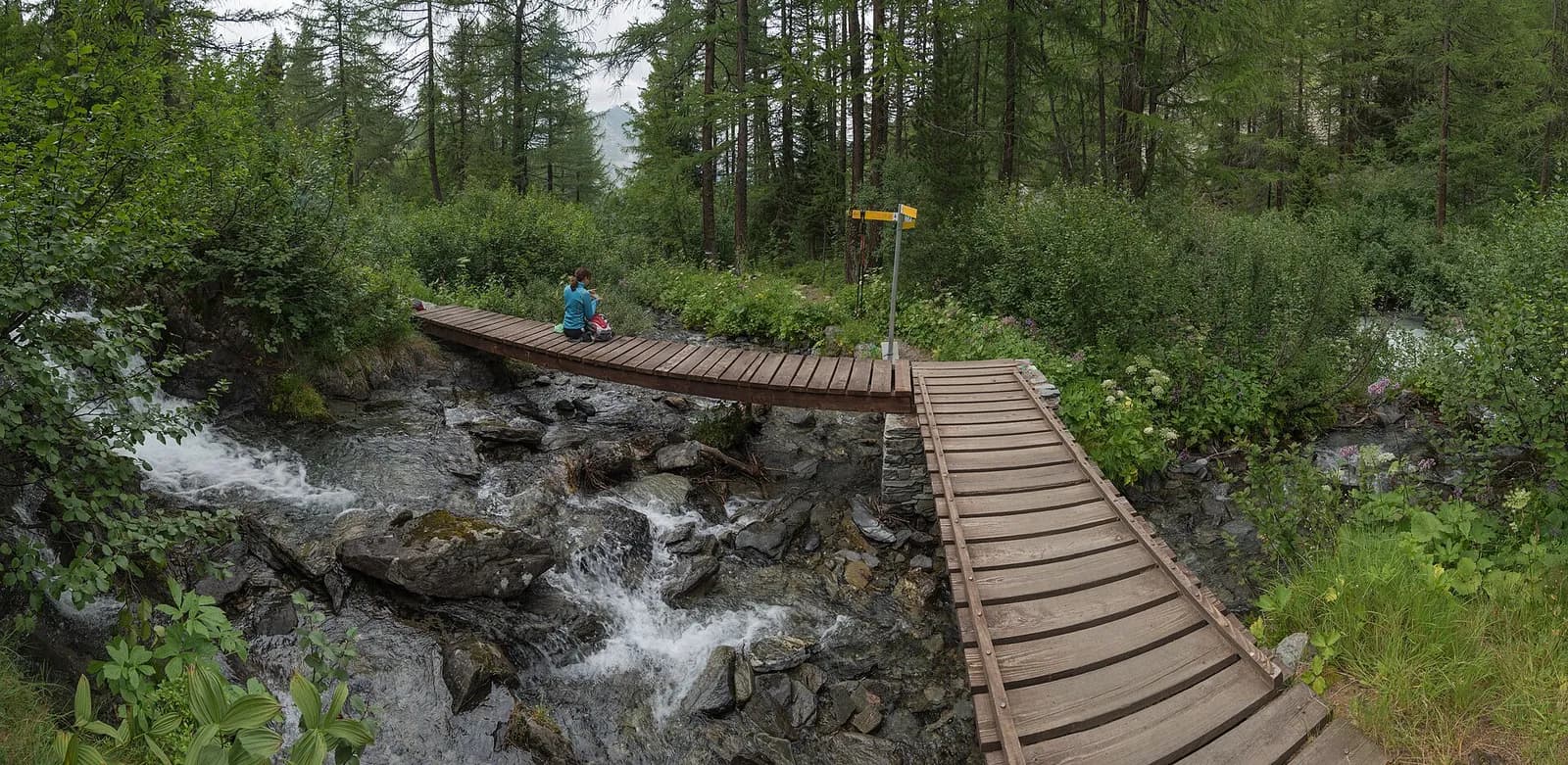
A gentle day on the balconies of the Haute-Tarentaise. The trail links the mid-slope hamlets above the Isère — Le Miroir with its stone-slab roofs, La Masure, Montvalezan — alternating cool woods, mown meadows and baroque chapels that recall the valley’s 17th-century wealth. Across the Isère glitter the glaciers of Mont Pourri and La Sache, in the heart of the Vanoise. La Rosière, a resort born in the 1960s, welcomes you with full services and a long tradition of hospitality on the pass: the Little St Bernard road, open only in summer, also crosses here.
Earth sciences
Geology & landscape
The Rutor group belongs to the outer Penninic domain: micaschists, fine gneisses and Permo-Carboniferous quartzites of the Ruitor zone, with striking folds visible on the walls above the Deffeyes hut. The three lakes and roches moutonnées of the valley are the work of the Rutor glacier, fast retreating yet still the Aosta Valley’s third largest; at the Col du Mont the Versoyen calcschists crop out with relics of oceanic crust.
History & culture
Sainte-Foy-Tarentaise preserves baroque chapels and the alp-villages of Le Miroir and Le Crot, with their characteristic lauze roofs carried on stone columns.
Water sources
Water at the stage's support points (Sainte-Foy-Tarentaise, La Rosière). On the high ground and at the passes springs are not guaranteed: fill bottles in the valley and at the huts.
Getting there
Cross-border stage: on the foreign sides local public transport applies (PostAuto in Switzerland, line buses in France/Piedmont). Check seasonal timetables; in peak season several access links run by reservation only.
Warnings
- Book overnight stops in peak season
Start & end
Start
Sainte-Foy-Tarentaise
1063 m
Finish
La Rosière
1851 m
Adjacent stages
ACurated and verified by Andrea
Data source: Tour del Rutor — itinerari La Thuile / Valgrisenche / Haute-Tarentaise · Traccia calcolata su rete sentieri OpenStreetMap (ODbL); verificare sul terreno
Last verified:
Haute-Tarentaise (Francia)
Related trails
Same valley or similar routes — more hikes to explore.
Valdigne — La Thuile
Tour du Rutor — Stage 1: La Thuile → Rifugio Albert Deffeyes
The Rutor waterfalls and the climb to the Deffeyes hut.
La Thuile — Valgrisenche
Tour du Rutor — Stage 2: Rifugio Albert Deffeyes → Planaval
Passo Alto and Col de la Crosatie: the great Alta Via 2 traverse.
Valgrisenche
Tour du Rutor — Stage 3: Planaval → Valgrisenche
A short breather along the Dora di Valgrisenche.
Valtournenche — Valpelline
Tour of the Matterhorn — Stage 1: Breuil-Cervinia → Rifugio Prarayer
The Valcournera pass, a stern gateway to the Valpelline.