Refuge · 3165 m
Refuge de Tête Rousse
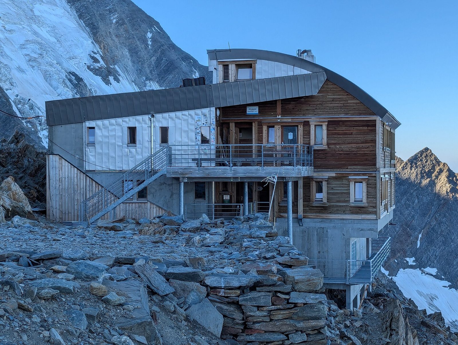
At 3,167 metres on the French normal route up Mont Blanc, the Tête Rousse hut precedes the Grand Couloir crossing and the climb to the Aiguille du Goûter. It stands by the eponymous glacier, monitored because of the intraglacial water pocket that in 1892 caused a catastrophic flood on Saint-Gervais.
Altitude
3165 m
Valley
Val Veny
Beds
72
Contact & booking
Official manager details — always check opening dates and rates on the website before you go.
Where it is
45.8549, 6.8175 · 3165 m
What to bring
A sleeping-bag liner (required in many huts), cash (cards are often not accepted at altitude), a change of clothes and warm layers for the evening, a headlamp, a water bottle. Always book your bed and meals in advance, and let the hut know if you cancel.
What to do there
Enjoy dinner in good company and the sunset from the terrace. Many use the hut as a base for a dawn departure: ask the keeper about trail and weather conditions before setting out, and start light while the snow is still firm. The climbing routes are on the trail pages above.
Nearby peaks
Community gallery
Photos are published immediately. JPG/PNG/WebP, max 6 MB.
Source: OpenStreetMap contributors
Refuge de Tête Rousse