Official routes — Aosta Valley Autonomous Region
The High Routes
The High Routes are the official multi-day itineraries of Aosta Valley: waymarked regional routes crossing the region from east to west, linking Walser villages, historic refuges and cols above 2,700 m. Unlike Tours — loops around a single massif — the High Routes tell the full story of the Aosta Valley in one traverse. Born in the 1970s as a hiking alternative to mass tourism, they remain among the most complete alpine treks in Europe, with a refuge network, CAI waymarking and official data from the regional trail registry.

Select route
Full route map
Official VdA Region GPX tracks · use zoom and compass to explore
 AV1
AV1High Route 1 — of the Giants
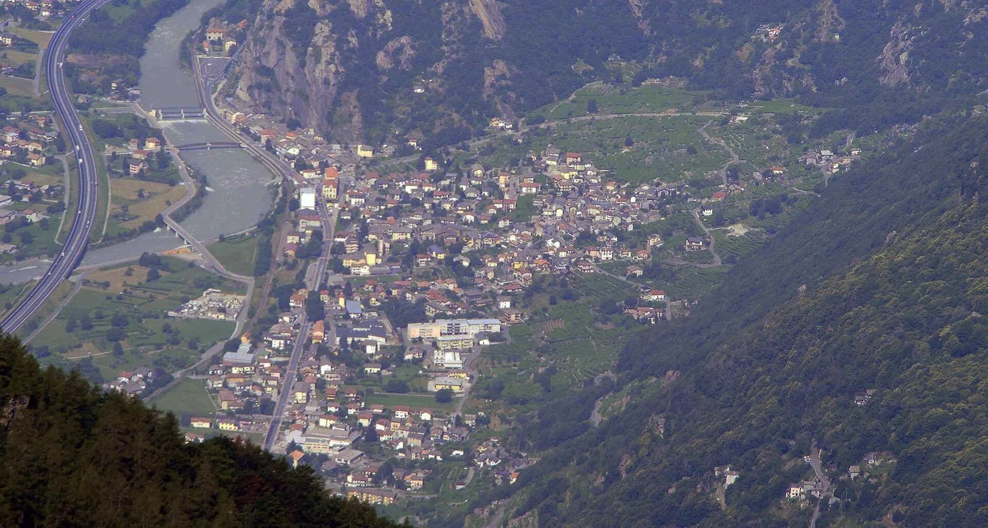
Donnas → Courmayeur (east → west)
130 km
8,500 m+
17 stages
12–14 days
High Route 1 crosses the entire Aosta Valley, touching all three great massifs — Monte Rosa, Matterhorn and Mont Blanc — in seventeen stages from the vineyards of Donnas (322 m) to the ridges above Courmayeur. It is the most complete alpine traverse in the region: Walser pastures, glacial lakes, historic refuges and panoramas from Gran Paradiso to Mont Blanc. Created in the 1970s as a hiking alternative to mountaineering routes, it is now the most popular multi-day route in the valley, with impeccable waymarking and a well-distributed refuge network. This site covers all 17 stages with GPX, elevation profiles, geology and verified practical data.
AV1 · 17 stages
All stages
 01E🇮🇹
01E🇮🇹Stage 1
High Route 1 — Stage 1: Donnas → Perloz
Donnas → Perloz
The start of the High Route of the Giants, from the valley floor up to Perloz meadows through Walser villages and chestnut groves.
12.5 km+950 mOpen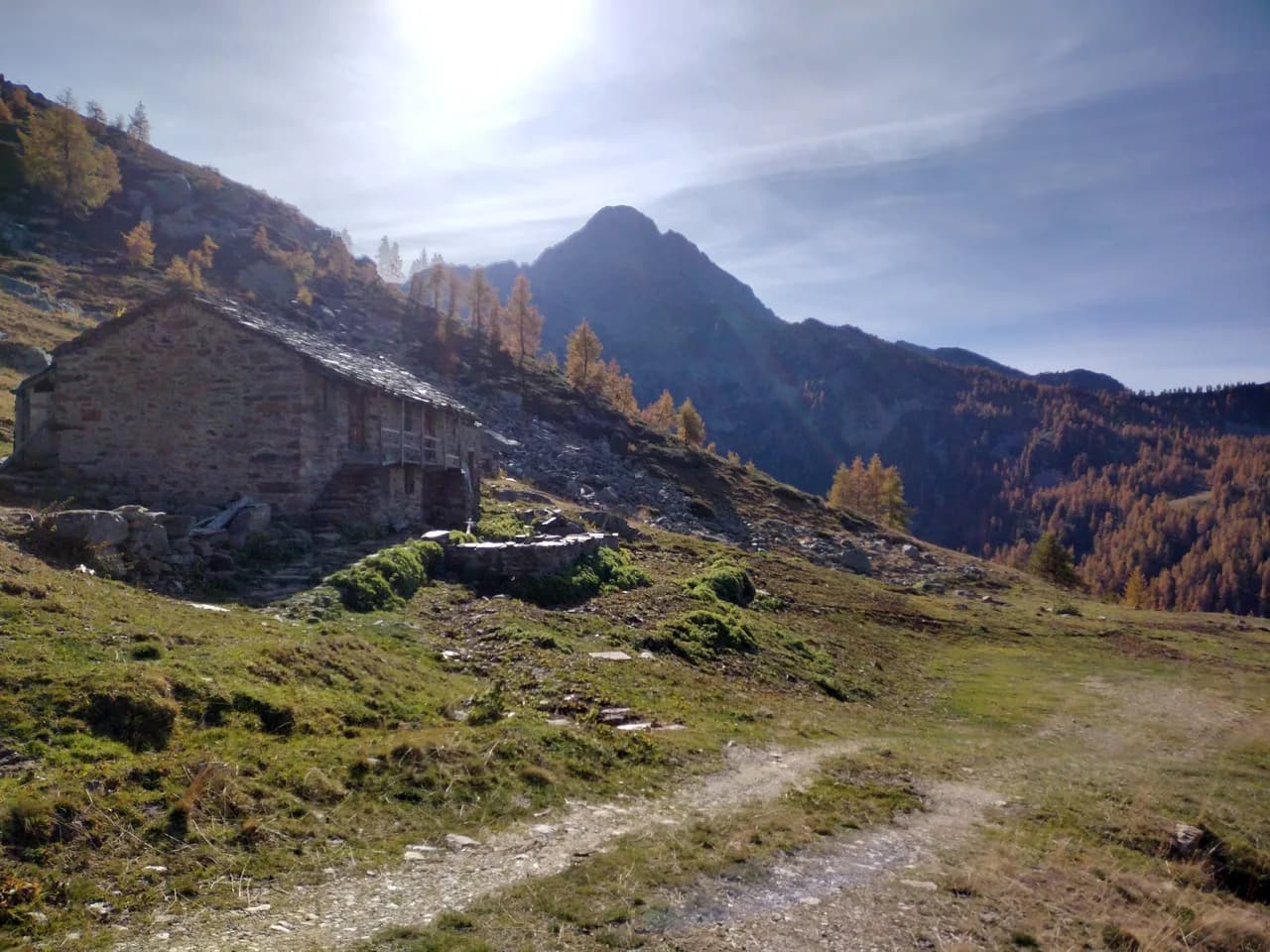 02E🇮🇹
02E🇮🇹Stage 2
High Route 1 — Stage 2: Perloz → Rifugio Coda
Perloz → Rifugio Coda
From Perloz hill the trail climbs through Lillianes forest and into the Mont Mars Nature Reserve, where Rifugio Coda at 2280 m opens the view to the high valley.
11 km+1150 mOpen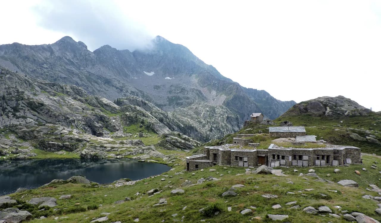 03E🇮🇹
03E🇮🇹Stage 3
High Route 1 — Stage 3: Rifugio Coda → Rifugio Barma
Rifugio Coda → Rifugio Barma
A high-level traverse between Mont Mars and the Barma Lakes: a skyline path linking two historic huts across a landscape of peat bogs, glacial slabs and end-of-summer bilberry.
9 km+320 mOpen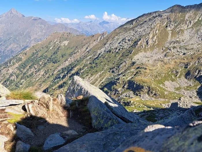 04E🇮🇹
04E🇮🇹Stage 4
High Route 1 — Stage 4: Rifugio Barma → Niel
Rifugio Barma → Niel
From Barma Hut the trail descends to Niel, Gaby's most remote Walser hamlet: a village frozen in time where dark-stone houses preserve centuries of alpine culture.
10 km+180 mOpen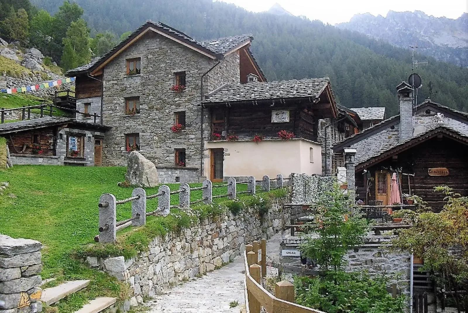 05EE🇮🇹
Stage 5
High Route 1 — Stage 5: Niel → Gressoney-Saint-Jean
Niel → Gressoney-Saint-Jean
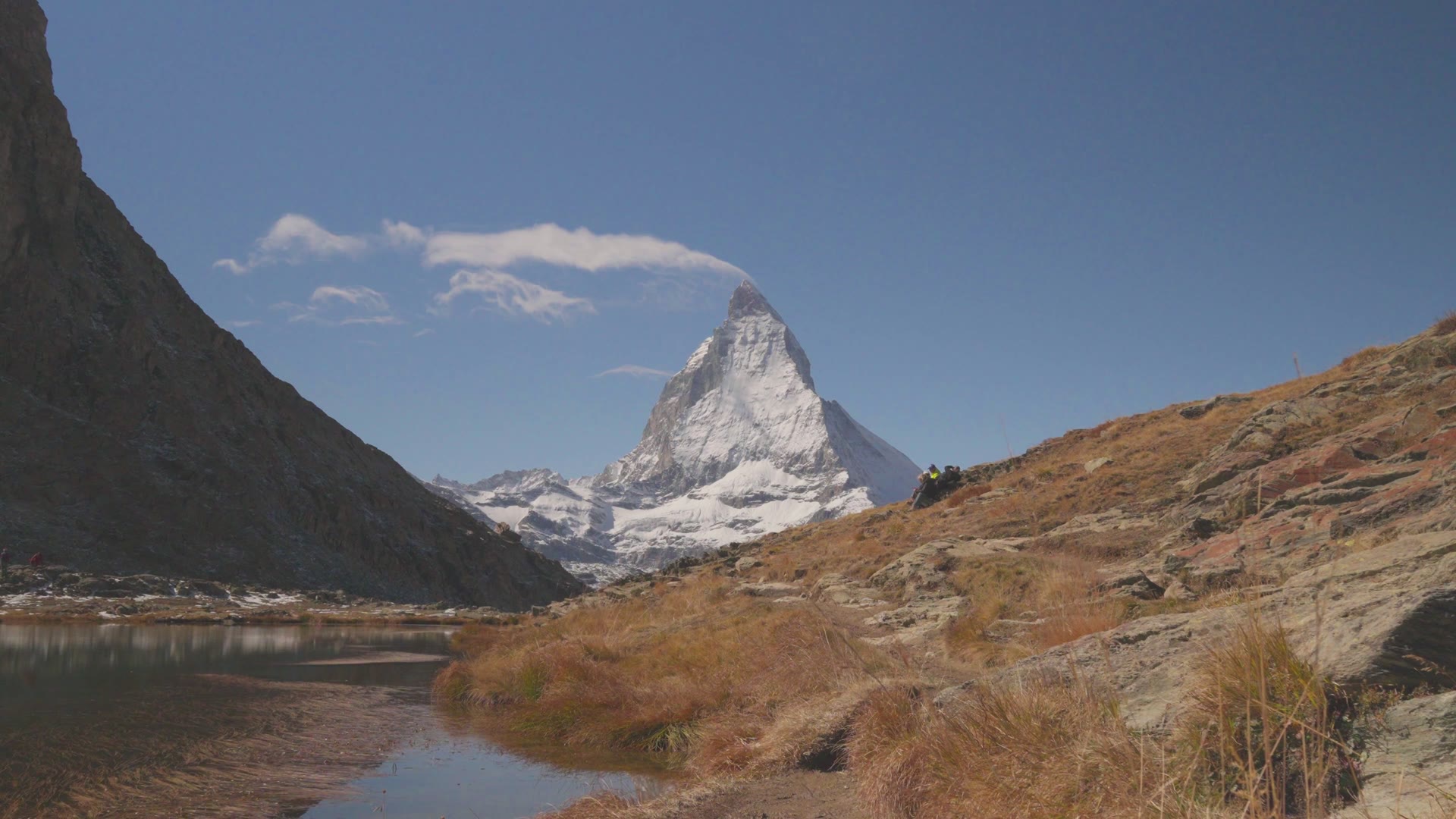
The longest stage in this sequence: 18 km of solitary ridge walking above the Lys valley with Monte Rosa views, ending in the Walser town of Gressoney-Saint-Jean.
18.2 km+1380 mOpen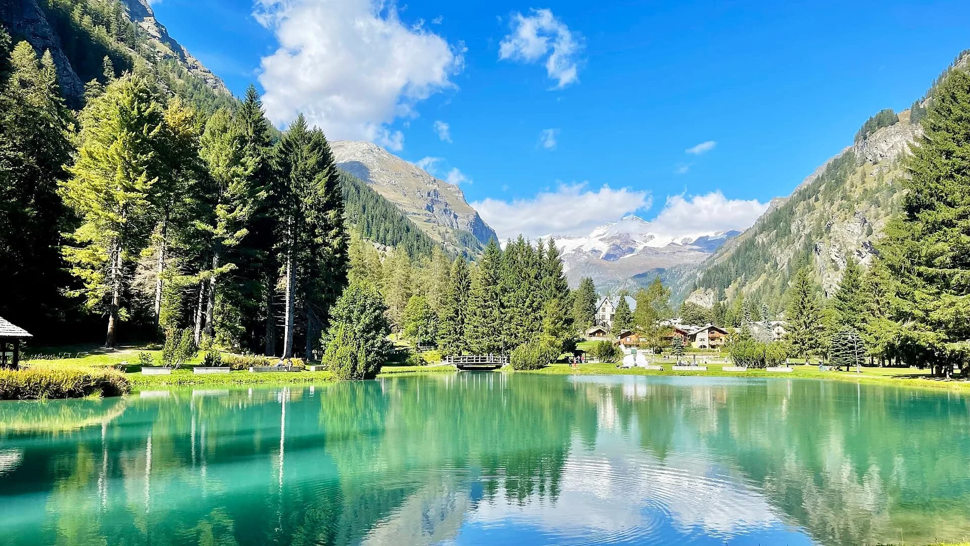 06EE🇮🇹
Stage 6
High Route 1 — Stage 6: Gressoney-Saint-Jean → Rifugio Vieux Crest
Gressoney-Saint-Jean → Rifugio Vieux Crest
Crossing Col Pinter at 2777 m is the highlight of this stage: a wild pass between two alpine valleys where Monte Rosa dominates the entire eastern horizon.
12.7 km+1427 mOpen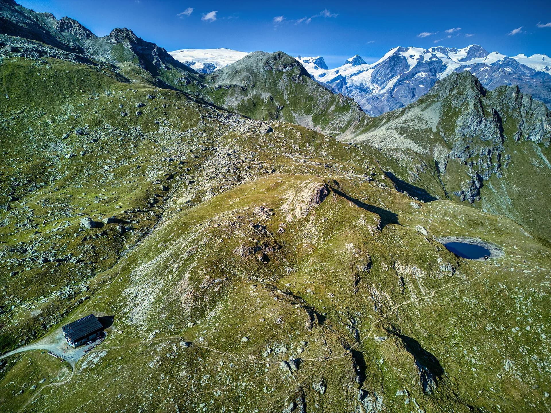 07EE🇮🇹
Stage 7
High Route 1 — Stage 7: Rifugio Vieux Crest → Rifugio Grand Tournalin
Rifugio Vieux Crest → Rifugio Grand Tournalin
From the ridges above Champoluc to Rifugio Grand Tournalin with the Matterhorn always in view: high-mountain terrain with sweeping panoramas over the Ayas valley and its pastoral landscape.
11.6 km+1162 mOpen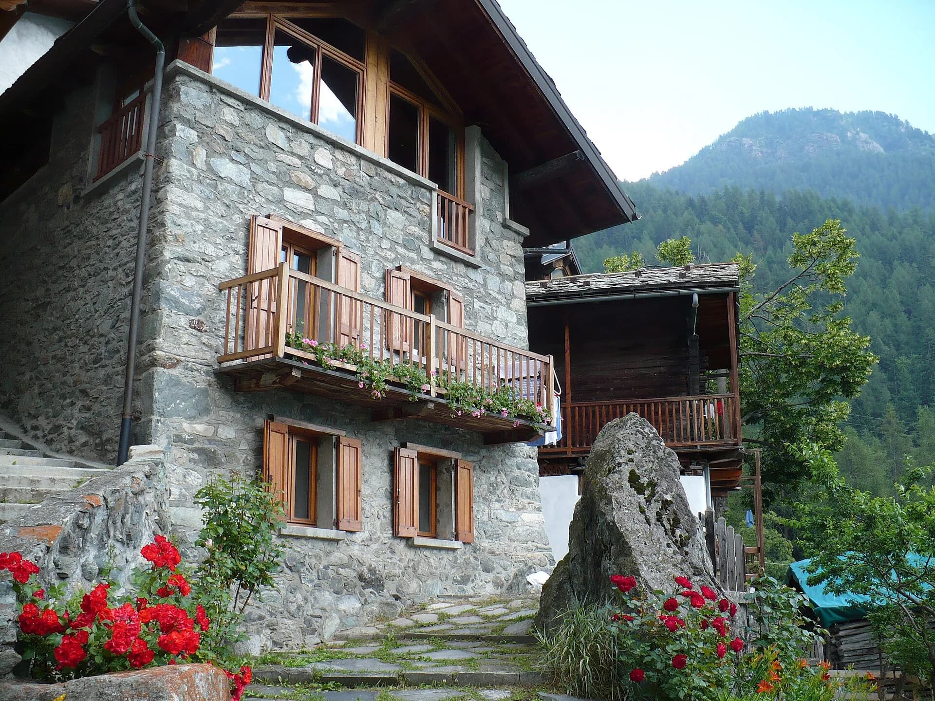 08E🇮🇹
08E🇮🇹Stage 8
High Route 1 — Stage 8: Rifugio Grand Tournalin → Valtournenche
Rifugio Grand Tournalin → Valtournenche
The great descent: from Rifugio Grand Tournalin losing over a thousand metres to the valley floor of Valtournenche, passing through the scenic plateau of Cheneil with Matterhorn views.
8.7 km+309 mOpen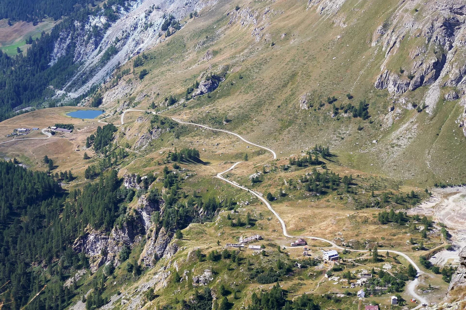 09E🇮🇹
09E🇮🇹Stage 9
High Route 1 — Stage 9: Valtournenche → Rifugio Jean Barmasse
Valtournenche → Rifugio Jean Barmasse
The shortest stage on the entire AV1: 4.7 km of sustained climbing from Valtournenche to Rifugio Jean Barmasse on the shores of Lago di Cignana, in preparation for the hardest day ahead.
4.7 km+682 mOpen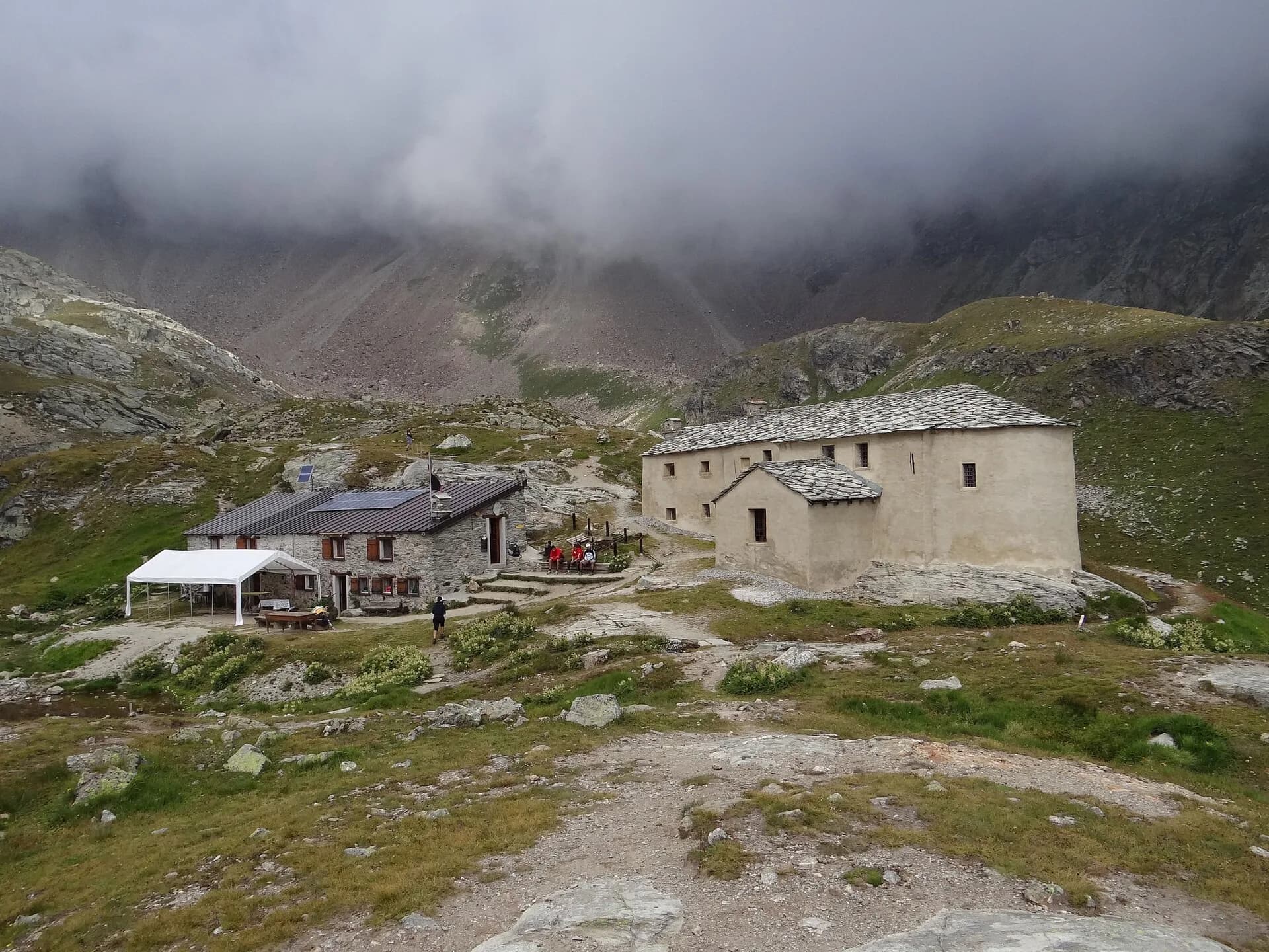 10EE🇮🇹
Stage 10
High Route 1 — Stage 10: Rifugio Jean Barmasse → Rifugio Oratorio di Cuney
Rifugio Jean Barmasse → Rifugio Oratorio di Cuney
The wild heart of the Alta Via: 17 km across Fenêtre de Tsan, Col Terray and on to Rifugio Oratorio di Cuney, with Matterhorn and Grand Combin dominating a horizon of 2700-metre passes.
17.1 km+1397 mOpen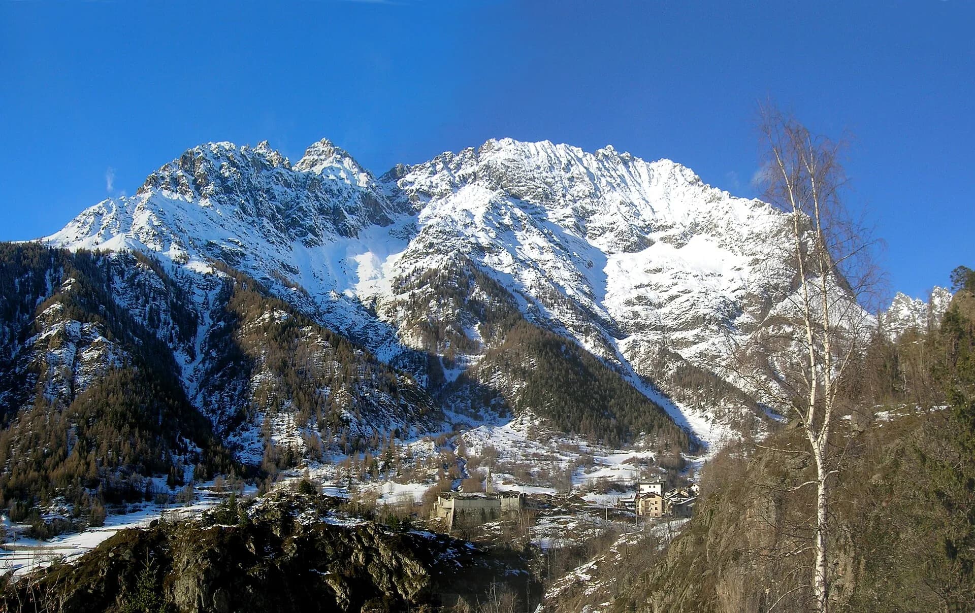 11EE🇮🇹
Stage 11
High Route 1 — Stage 11: Rifugio Oratorio di Cuney → Oyace
Rifugio Oratorio di Cuney → Oyace
From the Sanctuary of Cuney to the Valpelline: a long descent over exposed ridges with short scramble sections, ending at Oyace in the heart of the Aosta Valley's most untouched valley.
15 km+504 mOpen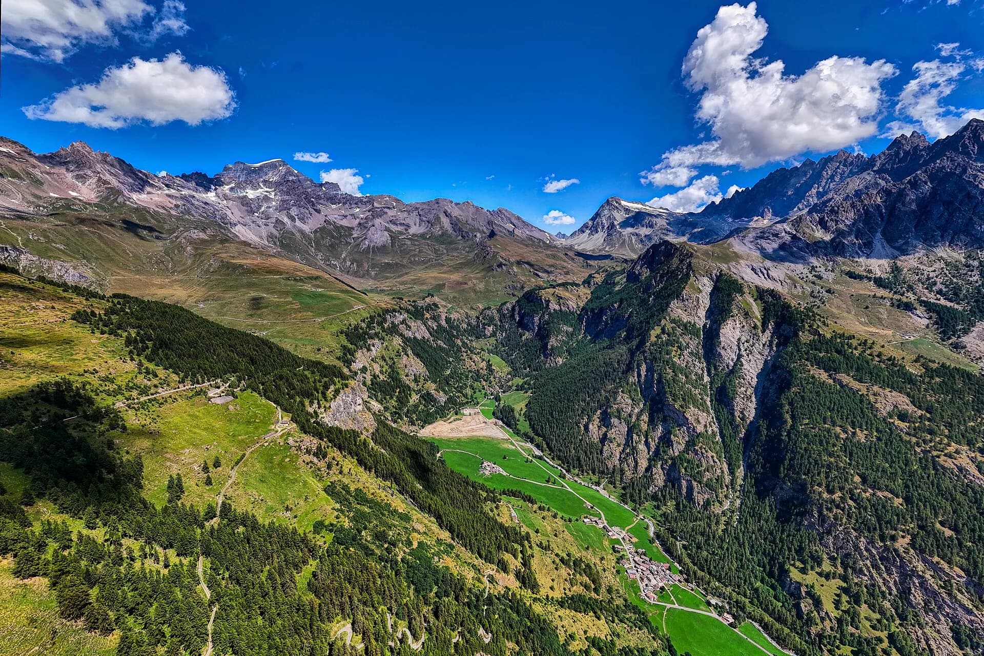 12EE🇮🇹
Stage 12
High Route 1 — Stage 12: Oyace → Ollomont via Col Brison
Oyace → Ollomont
The wild Valpelline: Oyace and Ollomont sit at nearly the same elevation, but Col Brison at 2520 m demands over 1100 m of climbing with views to Mont Vélan and Grand Combin on the Swiss border.
12.4 km+1145 mOpen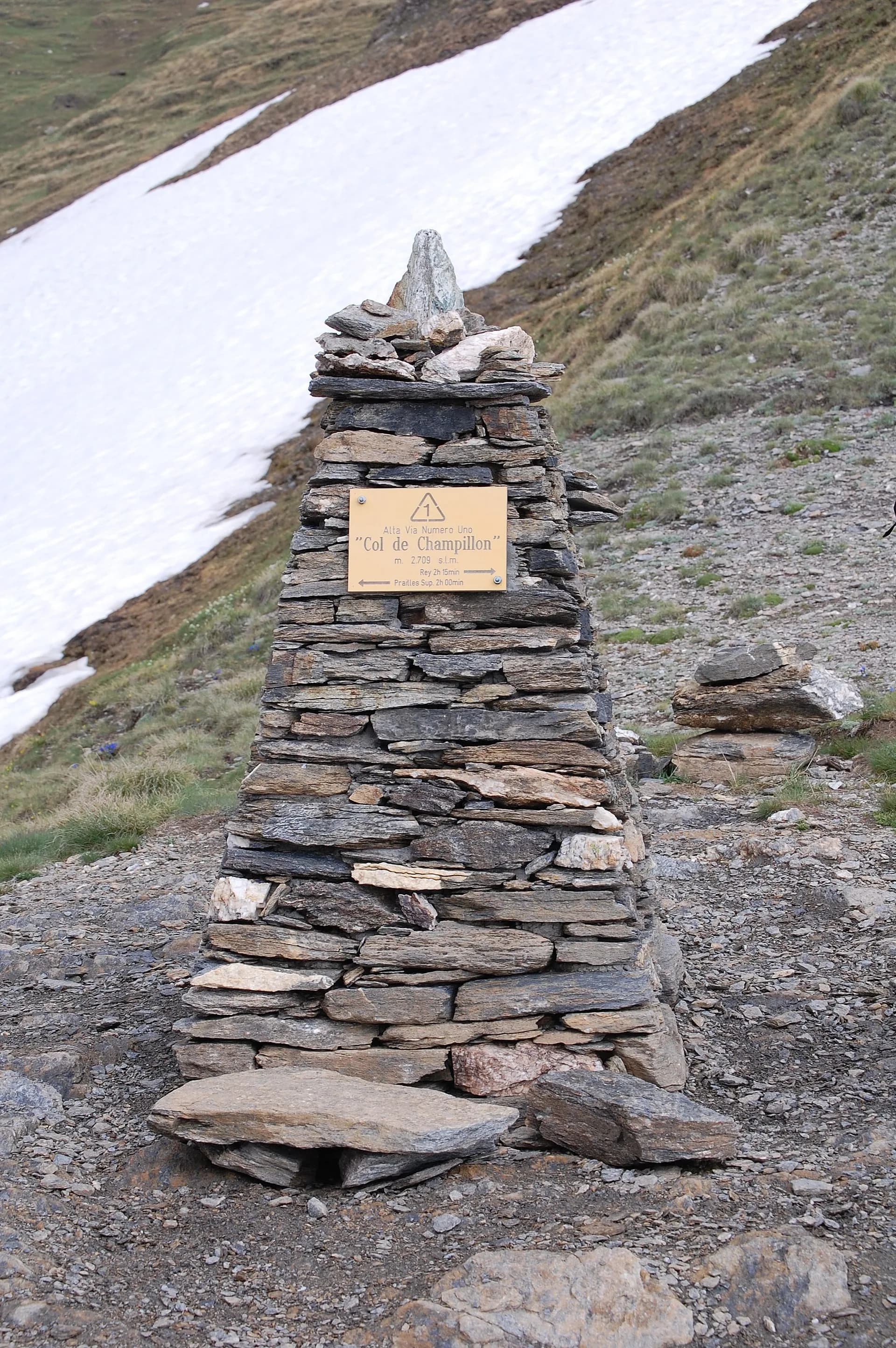 13E🇮🇹
13E🇮🇹Stage 13
High Route 1 — Stage 13: Ollomont → Rifugio Champillon
Ollomont → Rifugio Champillon
From Ollomont to Rifugio Champillon in the Conca di By: 1000 m of climbing through forests and summer farms to one of the AV1's most distinctive huts, complete with mountain sauna and yurt.
9.5 km+1070 mOpen 14E🇮🇹
14E🇮🇹Stage 14
High Route 1 — Stage 14: Rifugio Champillon → Saint-Rhémy-en-Bosses
Rifugio Champillon → Saint-Rhémy-en-Bosses
Over Col Champillon (2709 m) with panoramic views from Mont Blanc to Gran Paradiso, followed by a long descent to Saint-Rhémy-en-Bosses in the historic upper Grand Saint-Bernard valley.
14 km+522 mOpen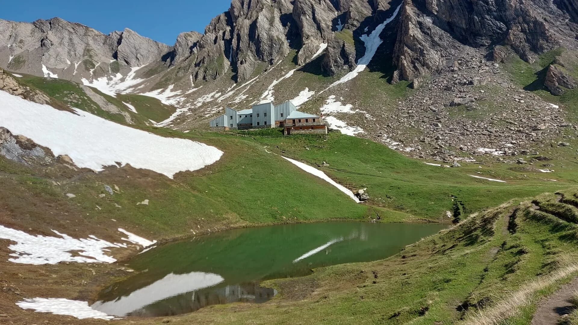 15E🇮🇹
15E🇮🇹Stage 15
High Route 1 — Stage 15: Saint-Rhémy-en-Bosses → Rifugio Frassati
Saint-Rhémy-en-Bosses → Rifugio Pier Giorgio Frassati
A steady climb through the Merdeux basin to Rifugio Frassati at 2540 m, the last overnight stop before tackling Col Malatrà (2925 m), the highest pass on the entire Alta Via 1.
10 km+905 mOpen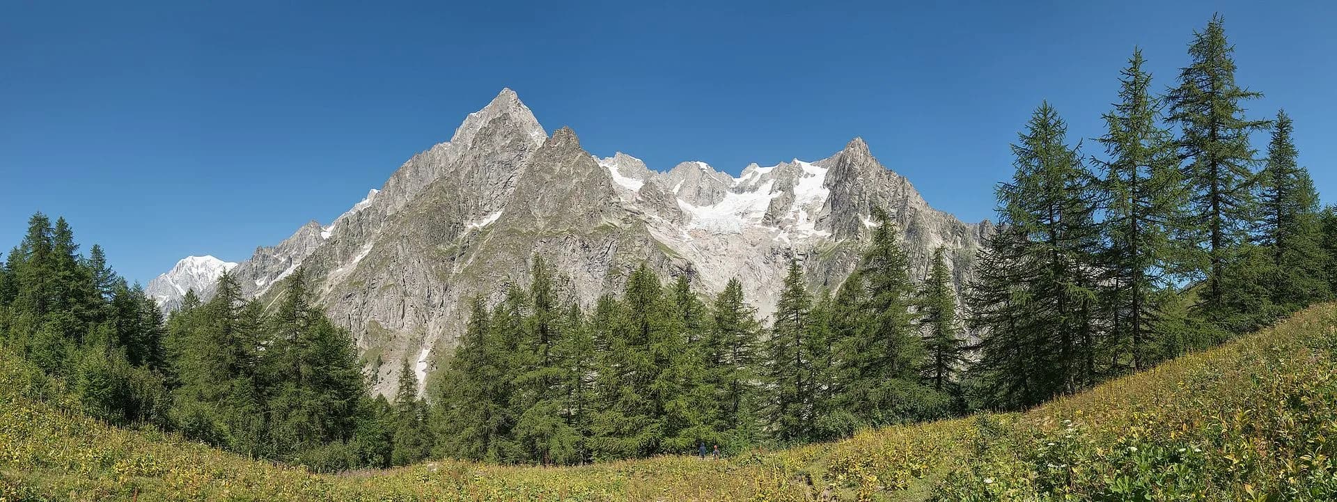 16EE🇮🇹
Stage 16
High Route 1 — Stage 16: Rifugio Frassati → Rifugio Bonatti via Col Malatrà
Rifugio Pier Giorgio Frassati → Rifugio Walter Bonatti
Col Malatrà at 2925 m is the rooftop of Alta Via 1: from the panoramic crest above Mont Blanc the trail descends into Val Ferret to the legendary Rifugio Walter Bonatti.
10 km+430 mOpen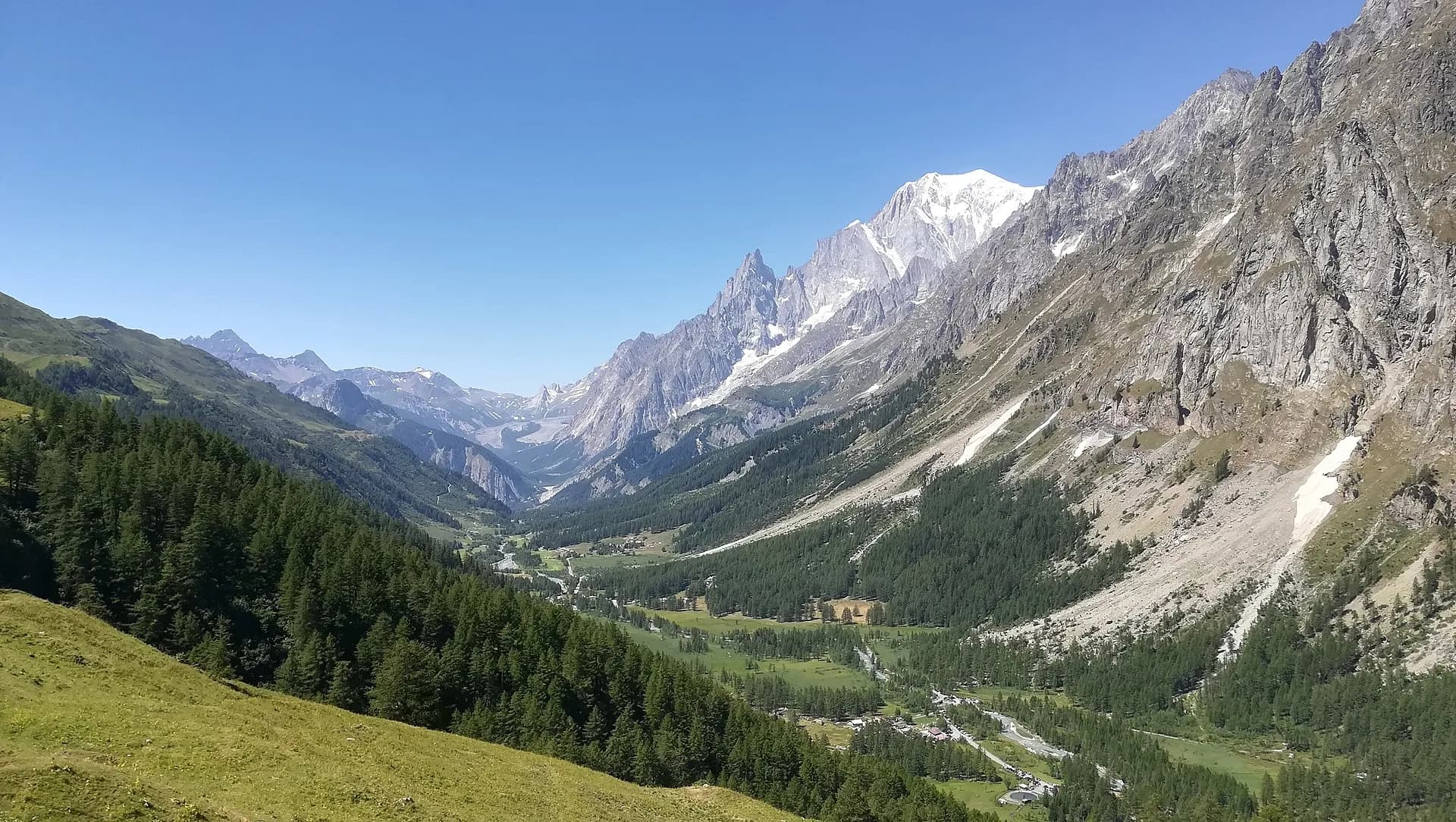 17E🇮🇹
17E🇮🇹Stage 17
High Route 1 — Stage 17: Rifugio Bonatti → Courmayeur
Rifugio Walter Bonatti → Courmayeur
The final AV1 stage: the Val Ferret balcony trail with Mont Blanc and Grandes Jorasses always in sight, ending at Courmayeur, Italy's alpine capital.
12.1 km+300 mOpen