High Route 1 — Stage 1: Donnas → Perloz
Precaución
Snow-covered section above 2,200 m — crampons recommended.
Condiciones actualizadas el:
12.5 km
+950 m
−100 m
5 h
Nivel físico
~2200 kcal estimadas
Mapa y ruta
Traza GPX oficial — Región Valle de Aosta / lovevda.it
Descripción
Puntos clave
Salida
Donnas · 317 m
Llegada
Perloz · 1372 m
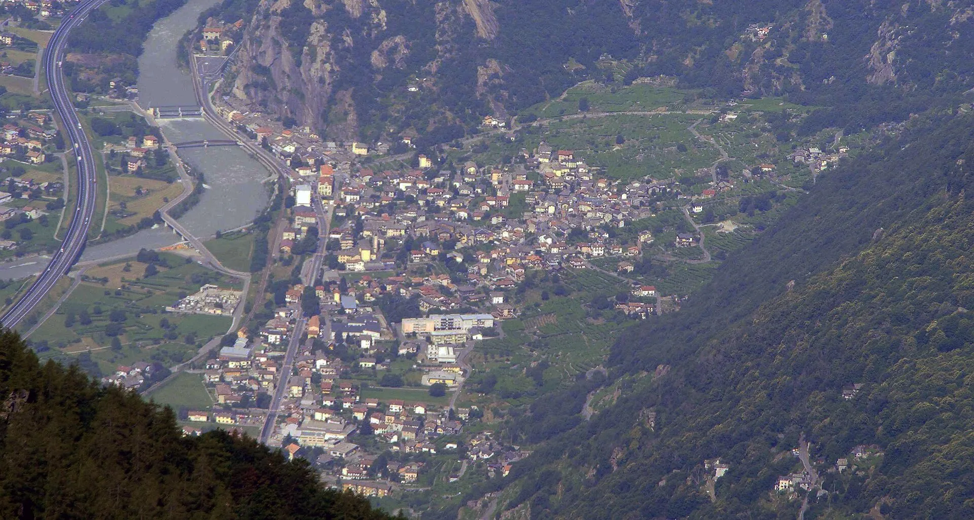
Stage one of the AV1 starts in Donnas at 322 m, climbs through the terraced vineyards of Pont-Saint-Martin and up to Perloz. A gentle warm-up day before the higher elevations come. Take time to explore Perloz village and its communal ovens.
Puntos clave
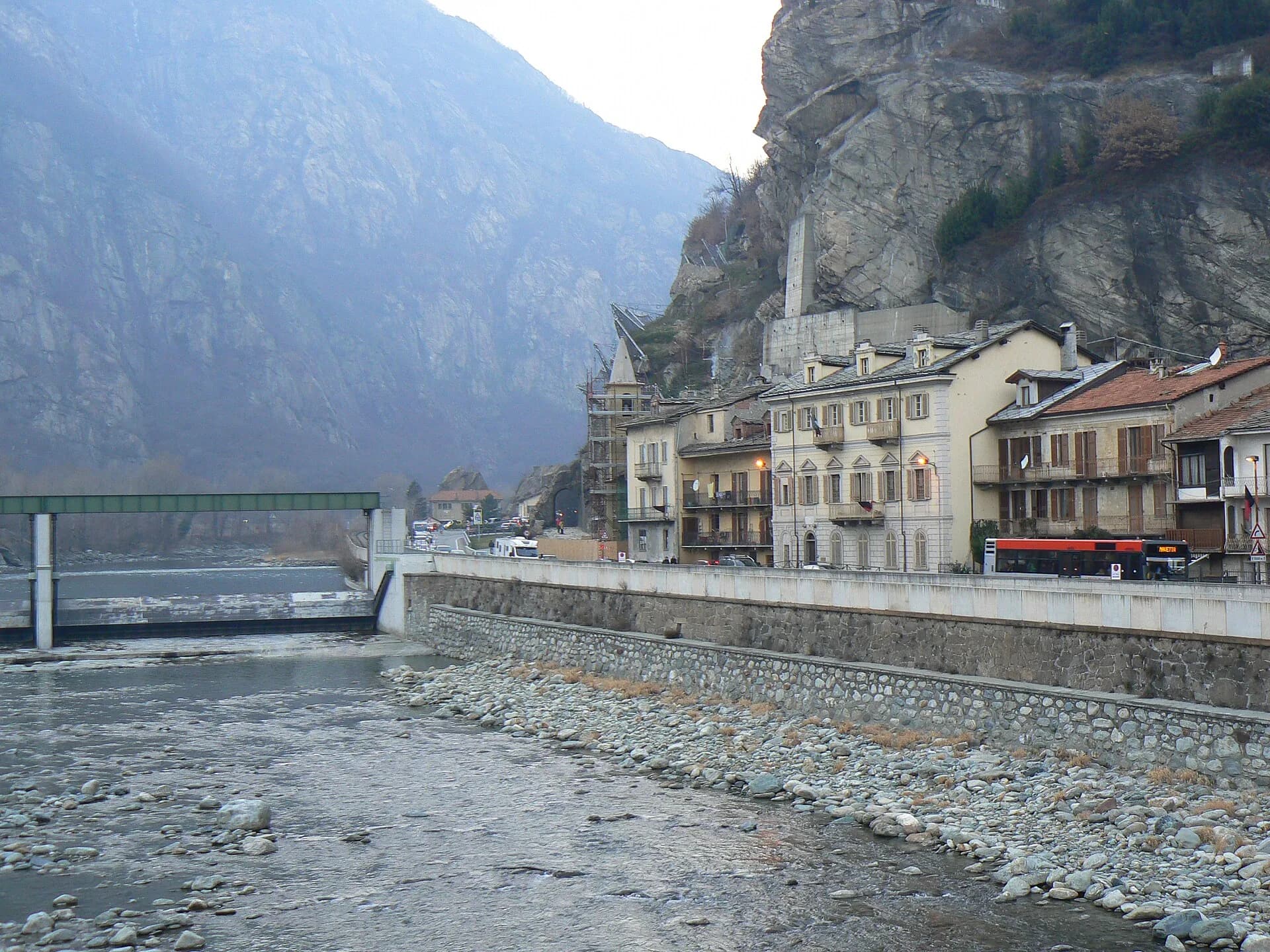
Donnas
322 m · 0 km from start
Start from the historic centre, Trenitalia railway station
Ciencias de la Tierra
Geología y paisaje
This stage crosses the southern margin of the Penninic Zone, where micaschists and augen gneiss of the Hercynian crystalline basement (~300 Ma) outcrop on upper slopes. Below 800 m, Mesozoic limestones and calcschists of the lower Penninic stack dominate, often masked by eluvial-colluvial cover. The terraced slopes of Donnas and Pont-Saint-Martin display paleosols on carbonate bedrock with post-glacial differential erosion. Along the Dora Baltea, Würmian fluvial terraces carry sub-rounded pebbles of gneiss and marble. Pleistocene moraines are sparse in the valley floor but documented on regional maps. The lithological transition toward Perloz marks entry into the Austroalpine metamorphic domain of Mont Mars, with mica schists and quartzites.
Historia y cultura
Donnas preserves a Roman amphitheatre and medieval castle ruins. Perloz is a Walser village settled from the 13th century by colonists from Valais. Communal ovens and vineyard terraces bear witness to centuries of rural economy.
Fuentes de agua
Fountains and bars in Donnas and Pont-Saint-Martin. Intermittent springs above 700 m; refill bottles in Perloz.
Cómo llegar
Trenitalia: Donnas station (Turin–Aosta line). VITA buses on SS26 toward Pont-Saint-Martin. From Aosta, regional VITA services serve the valley floor.
Aparcamiento
Parcheggio gratuito presso la stazione di Donnas e area comunale a Perloz (limitata).
Cumbres cercanas
Galería de fotos
Photos are published immediately. JPG/PNG/WebP, max 6 MB.
Fauna que observar
Etapas contiguas
AEditado y verificado por Andrea Rama
Fuente de datos: Catasto Sentieri Regione Autonoma VdA · Open data — DGR 899/2014
Última verificación:
Bassa Valle
Senderos relacionados
Mismo valle o rutas similares — más excursiones por descubrir.
Bassa Valle
High Route 2 — Stage 14: Crest → Donnas
Final AV2 stage: from Retempio sanctuary to Donnas in the valley floor.

Bassa Valle
Arsines - Col Fenetre
A short woodland climb from Arsines, above Arnad, to Col Fenêtre: a scenic pass of the lower Aosta Valley.

Bassa Valle
Bard - Tête de Cou
In the commune of Cogne, Gran Paradiso National Park: a climb toward a high-altitude objective in an environment of exceptional natural quality.

Bassa Valle
Barme - Carogne
1.6 km · +397 m · E — from Barme to Carogne (Valtournenche).