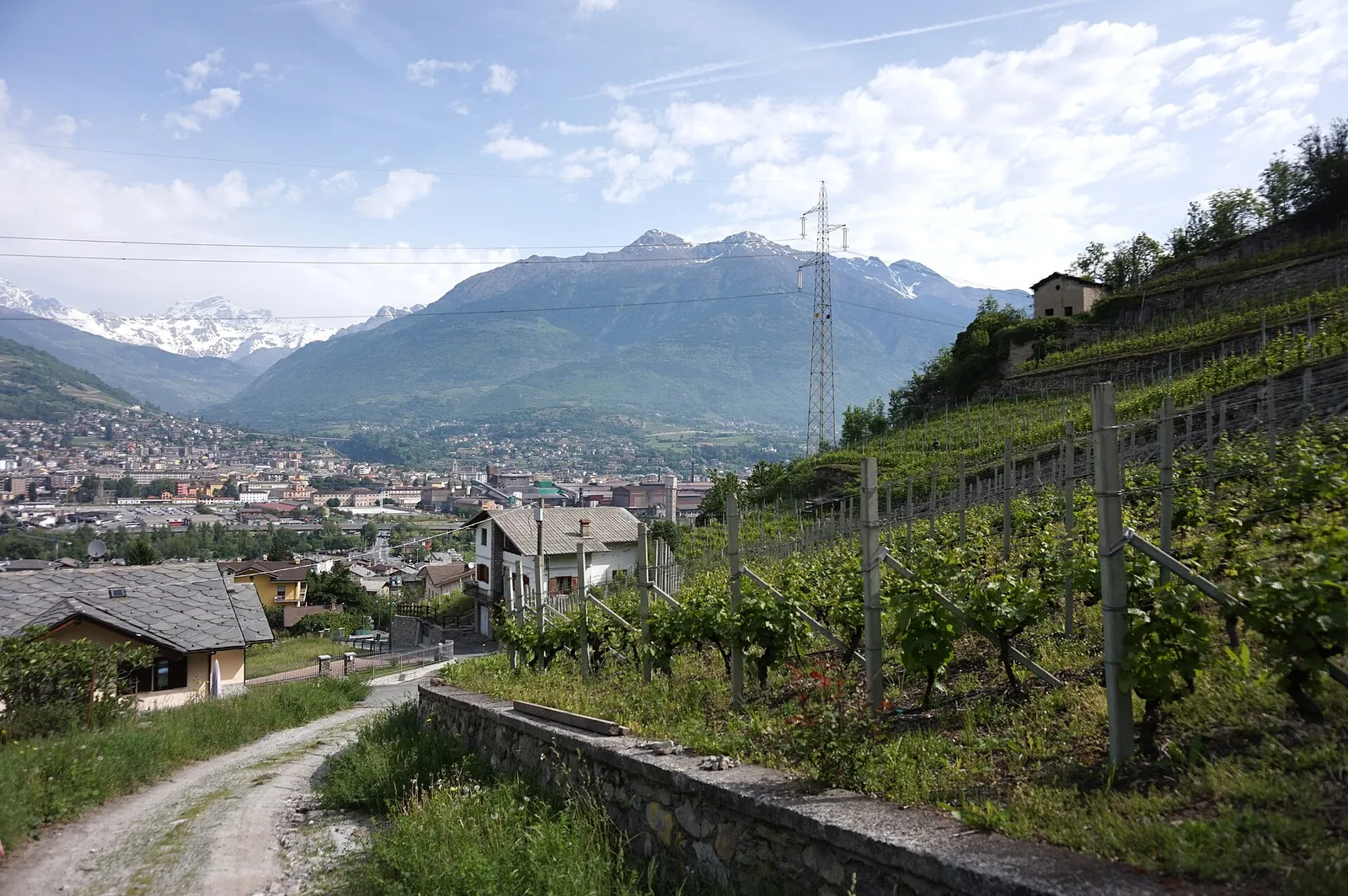
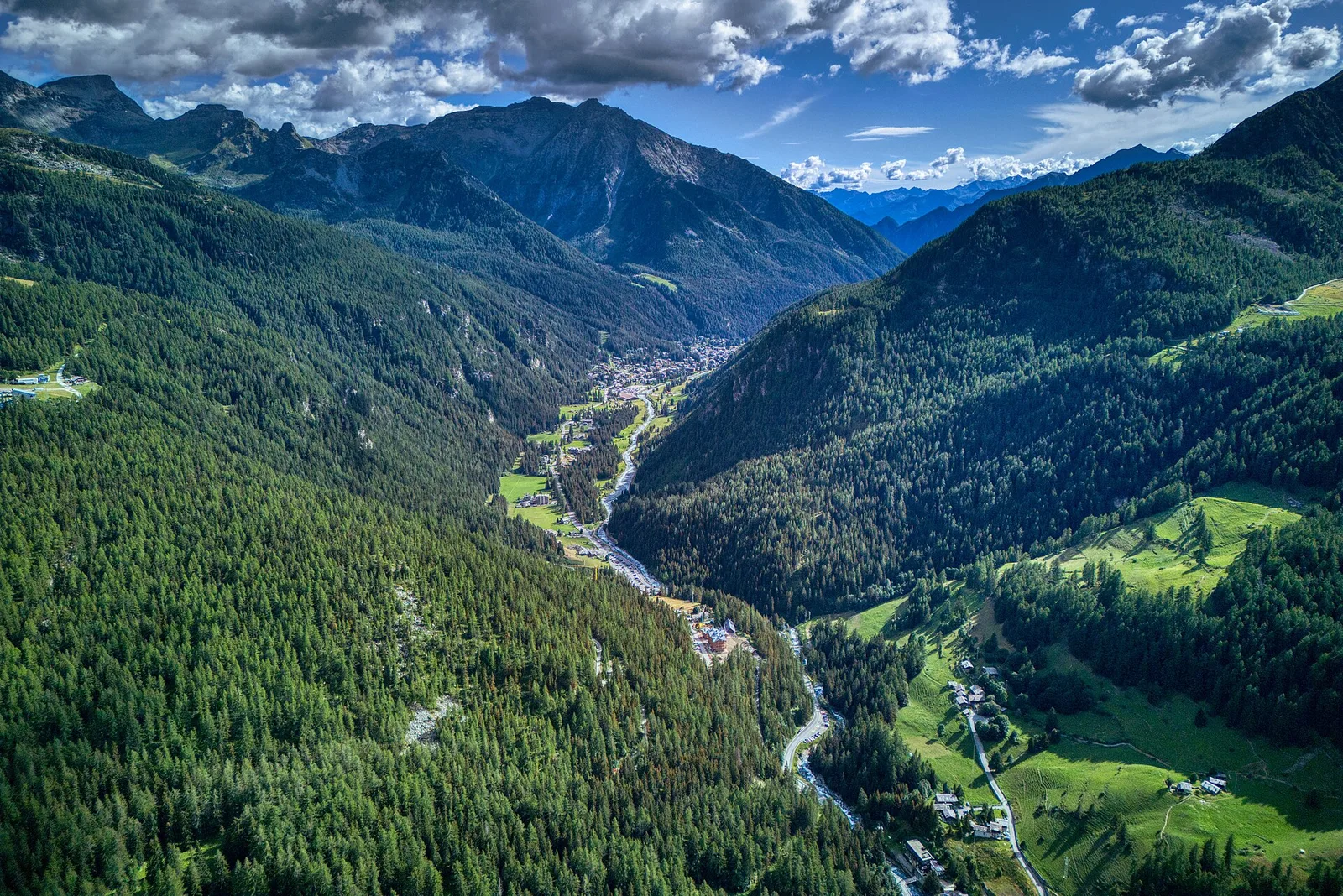
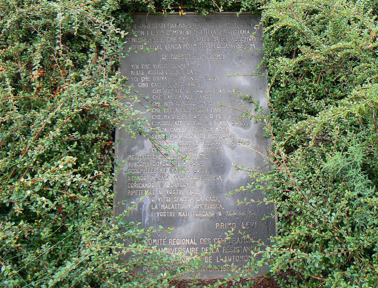
E
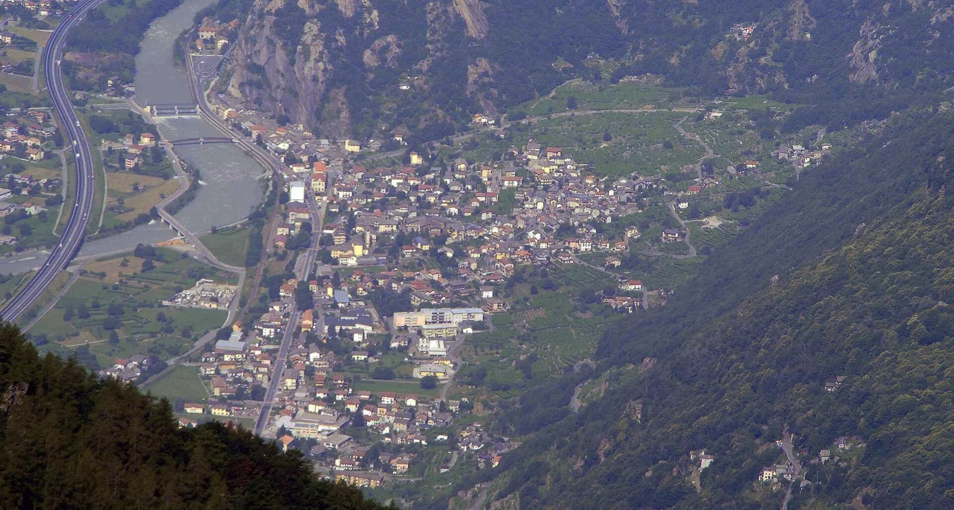
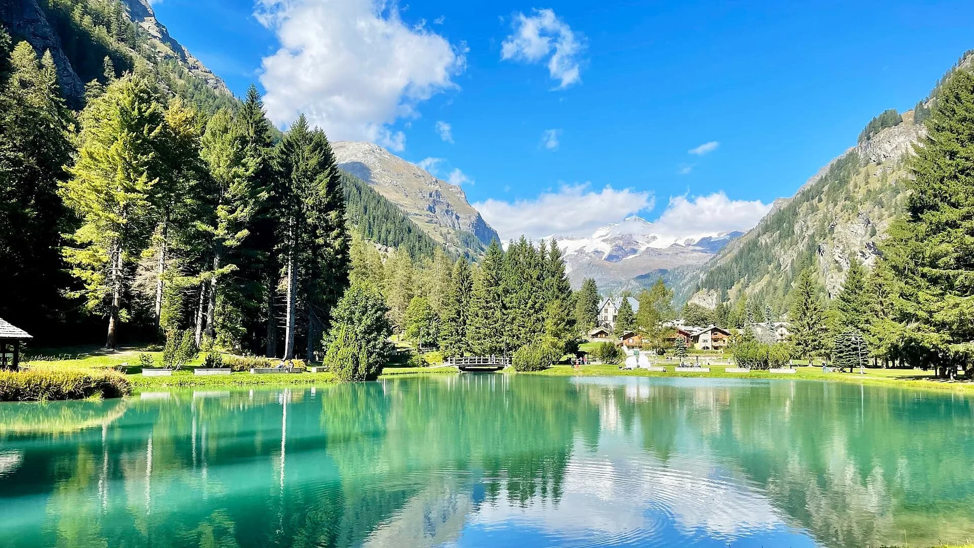
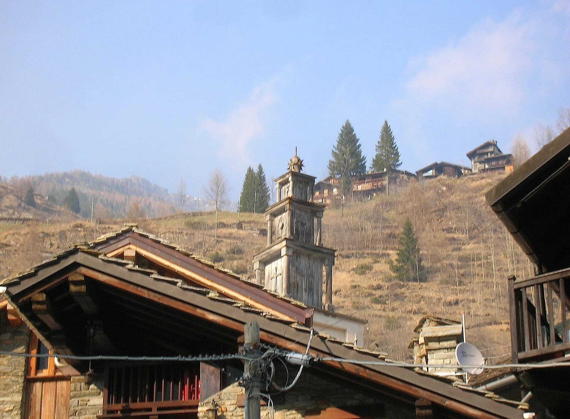
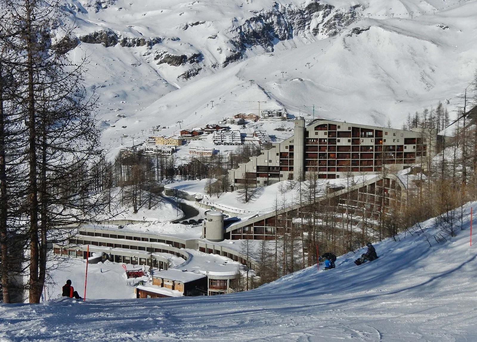
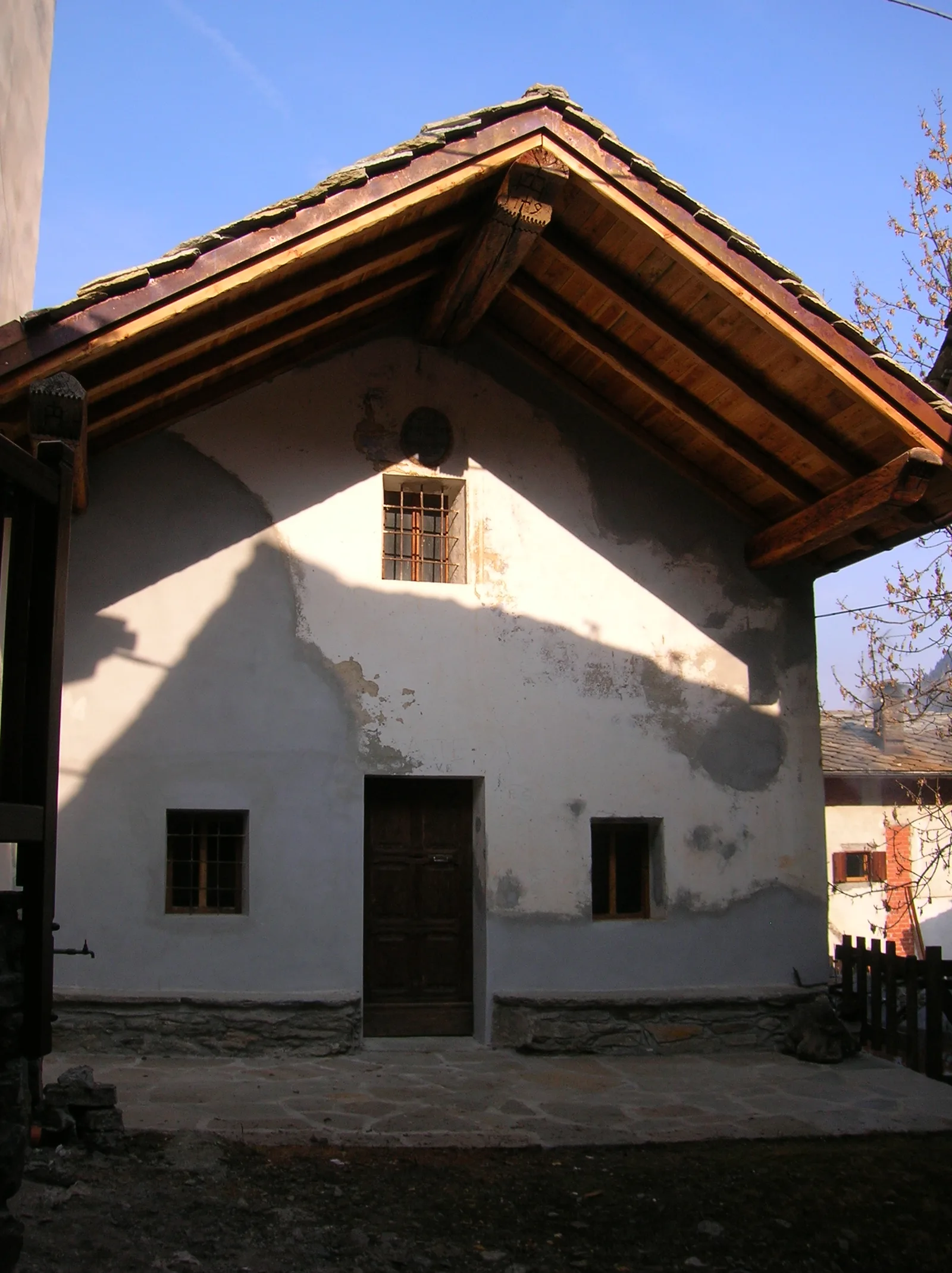
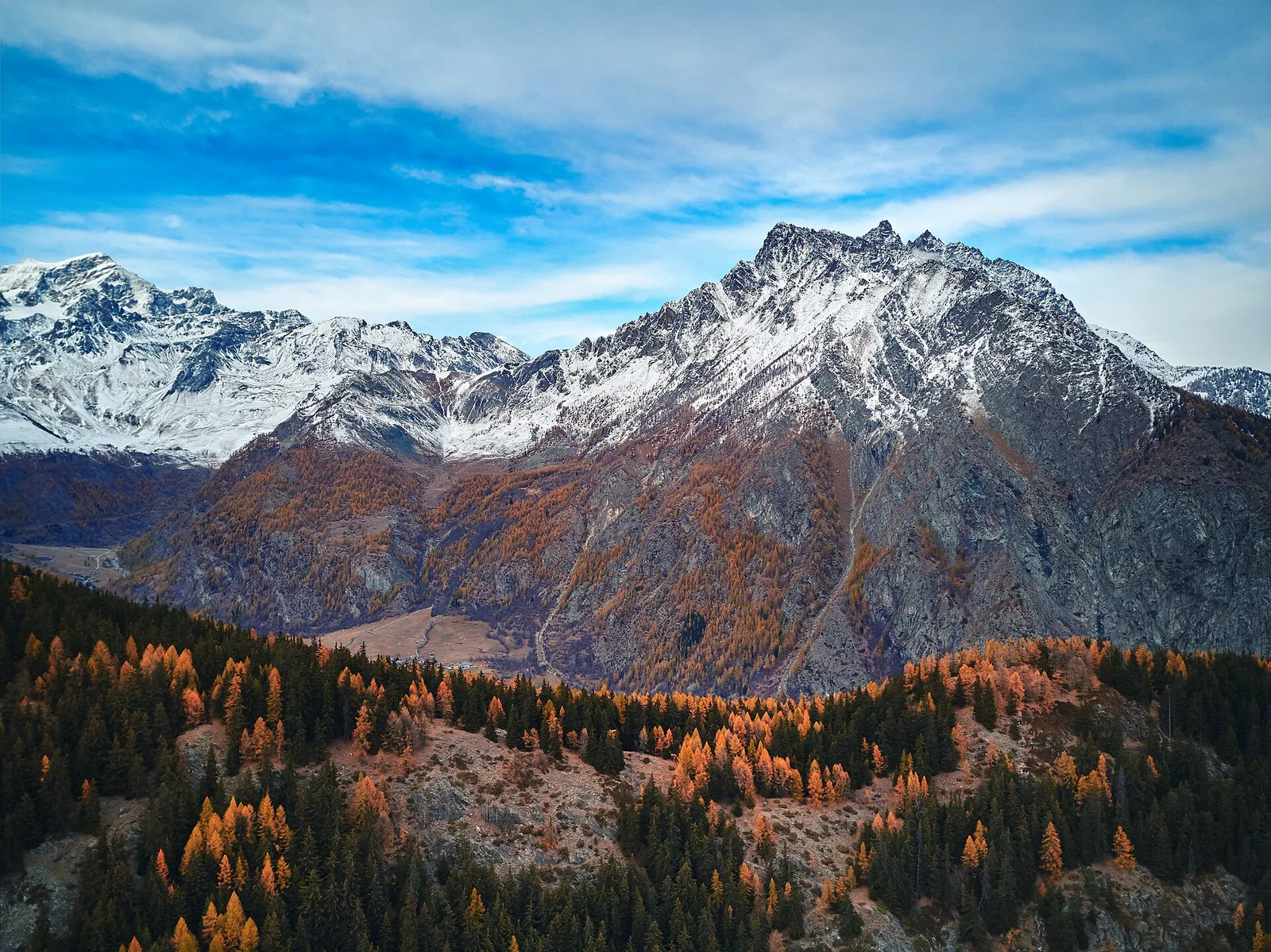
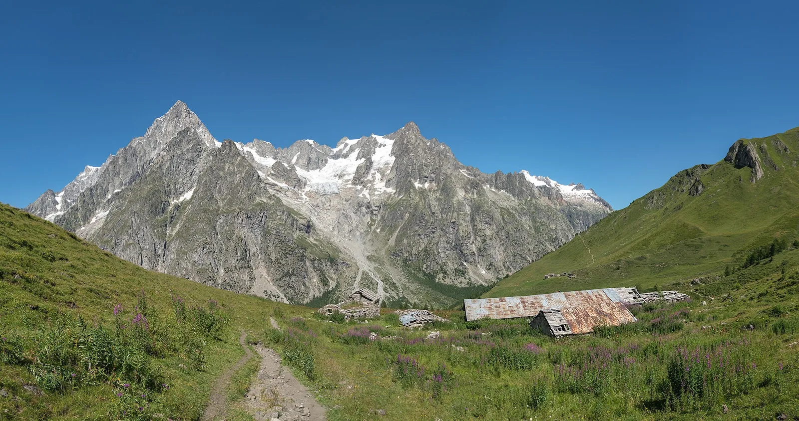
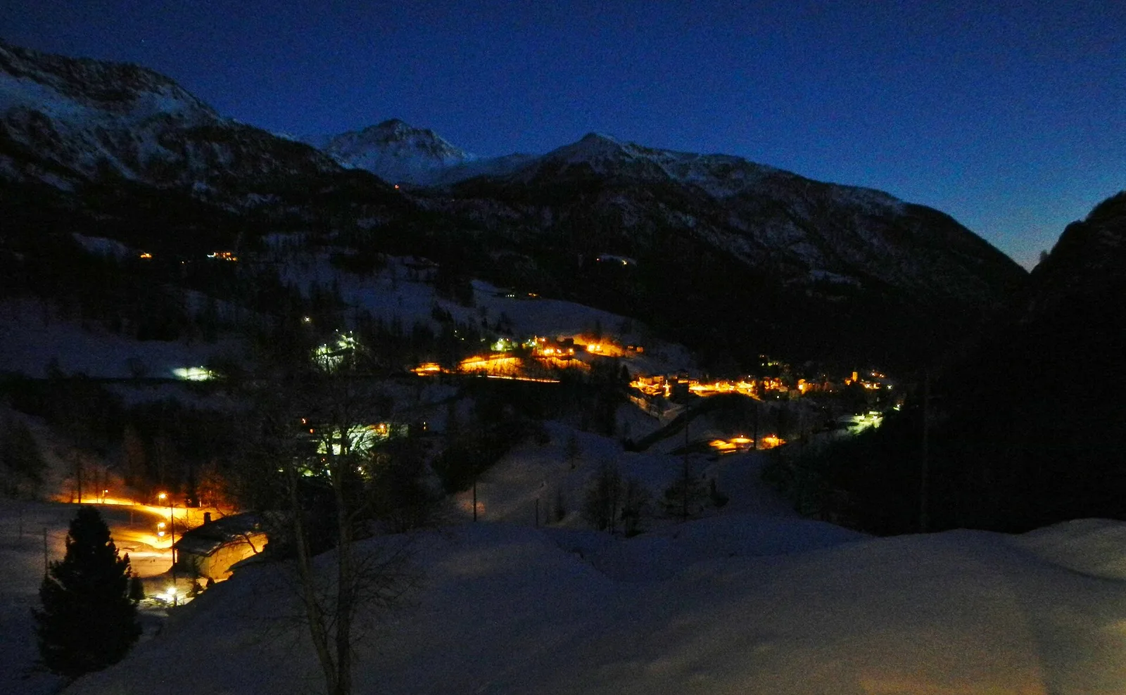
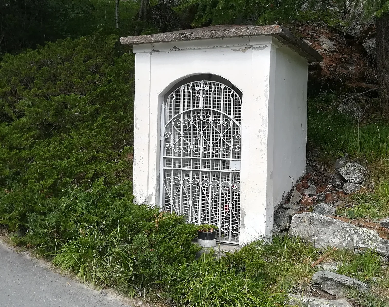
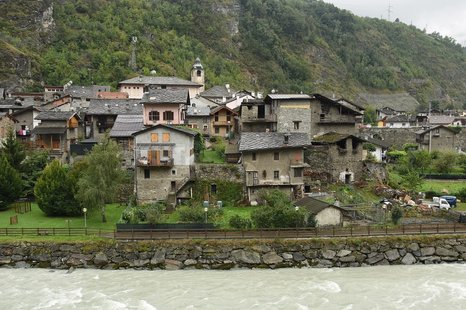
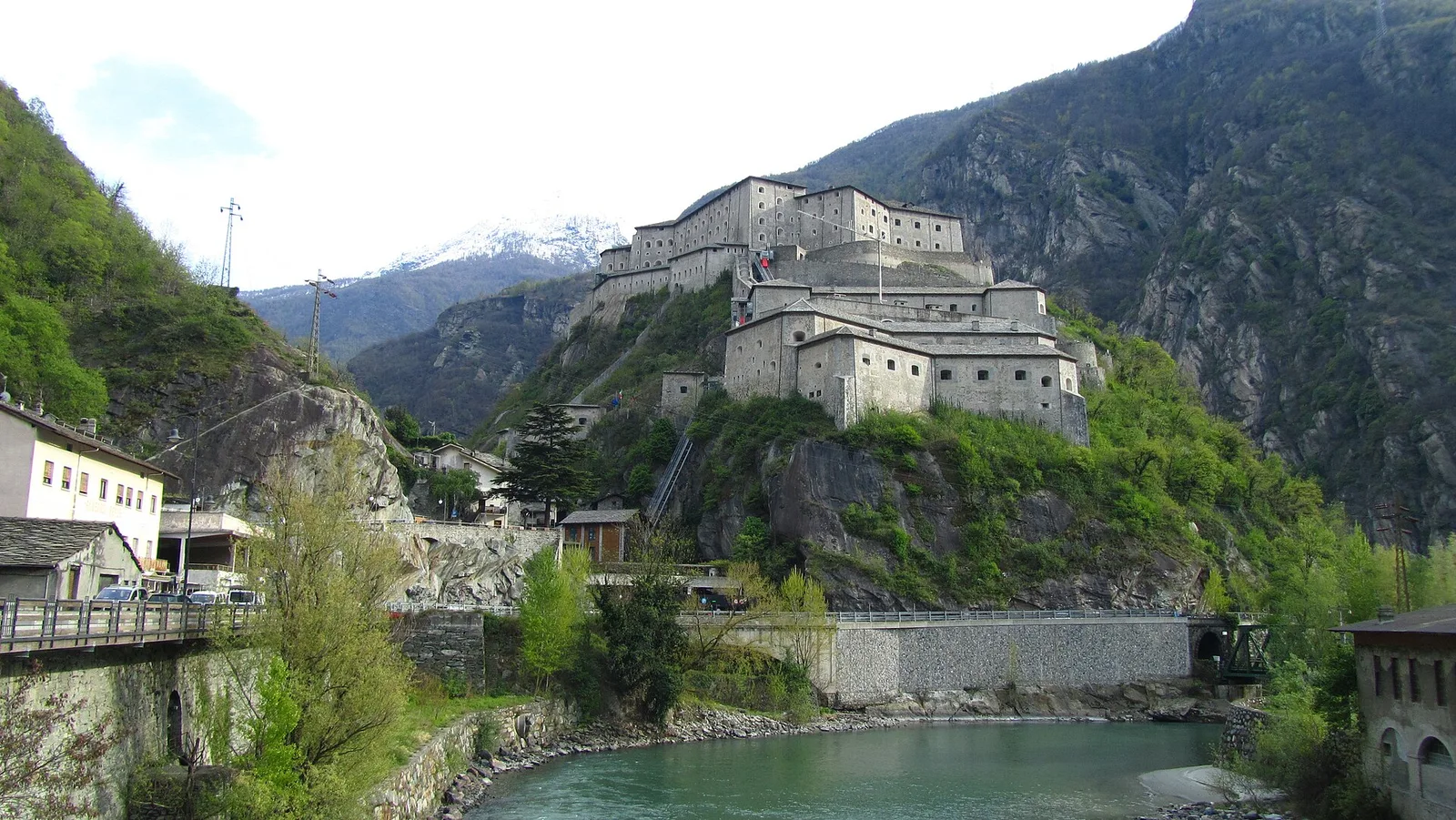
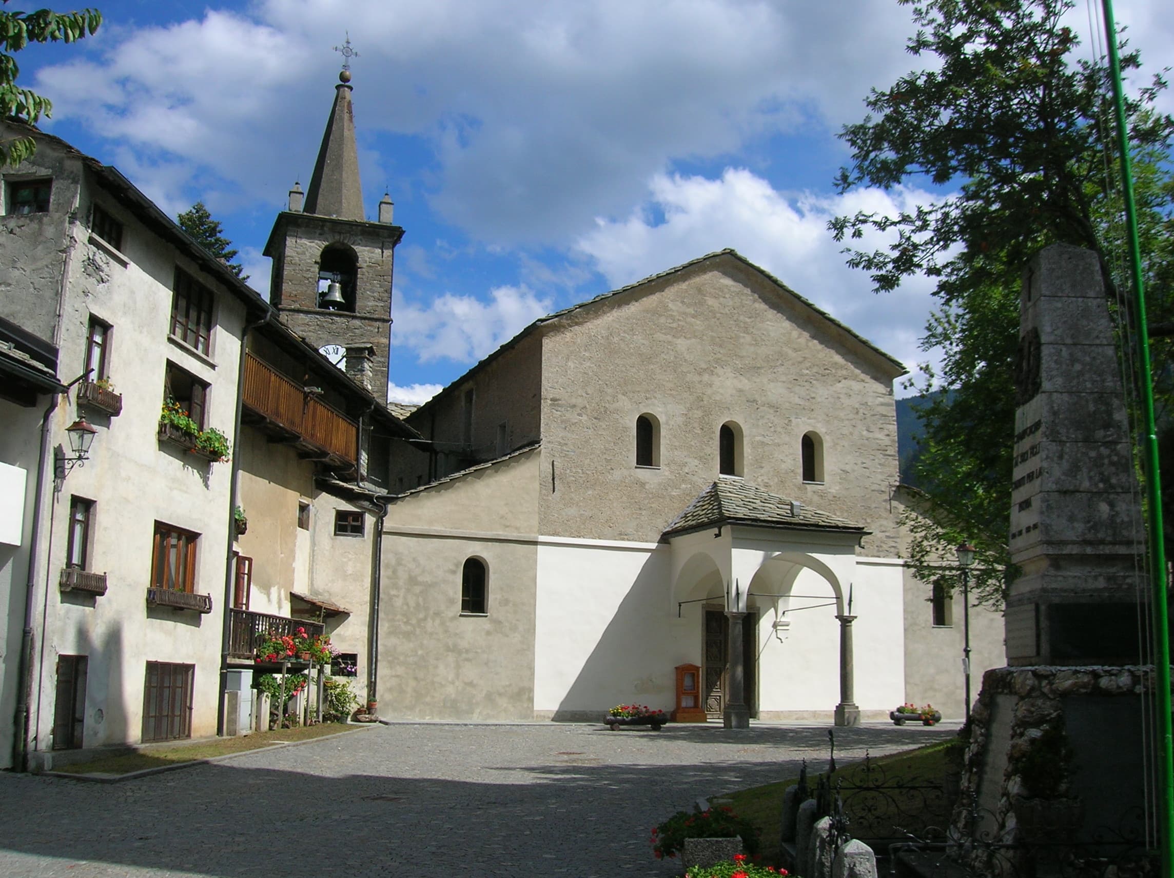
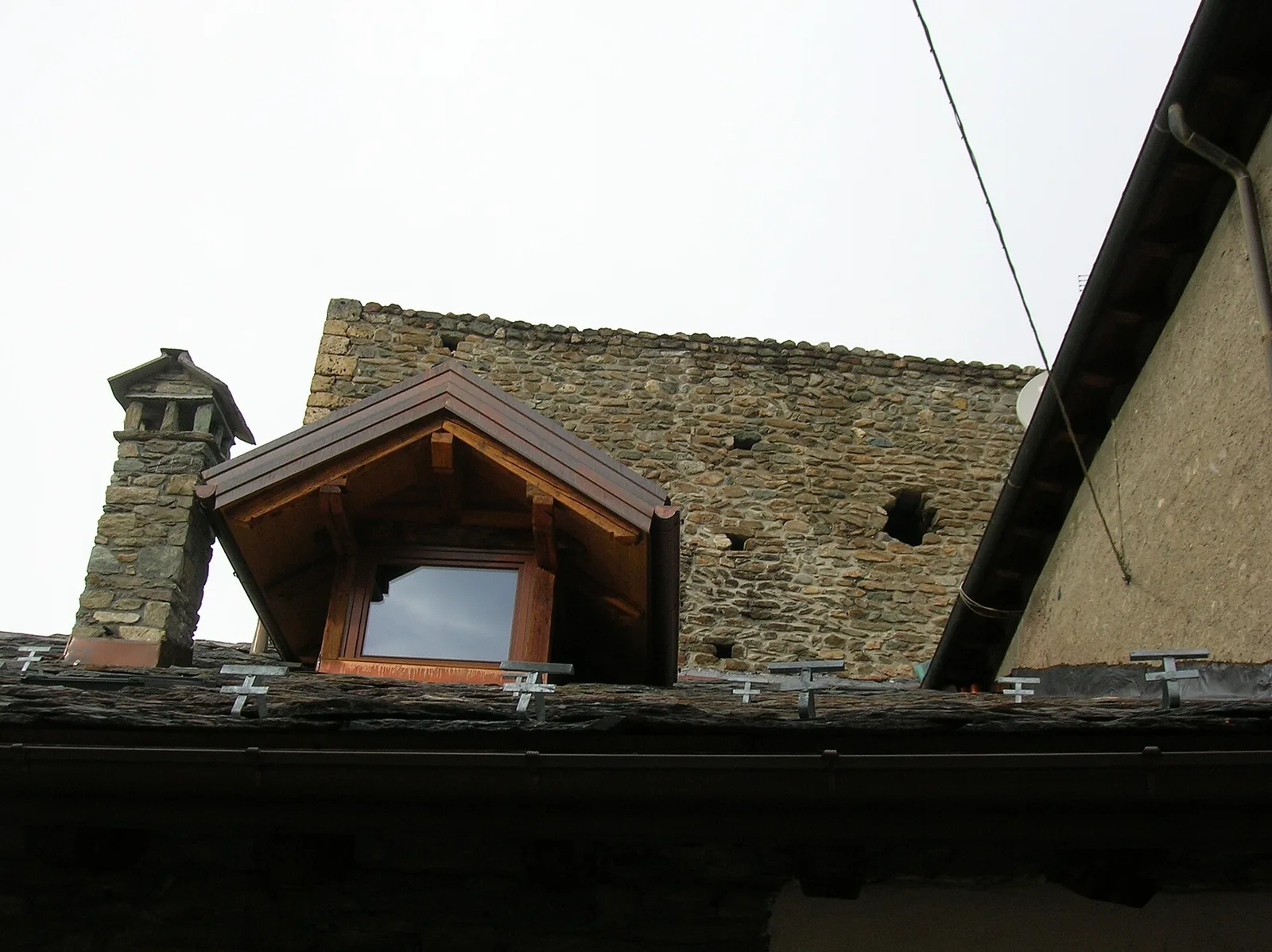
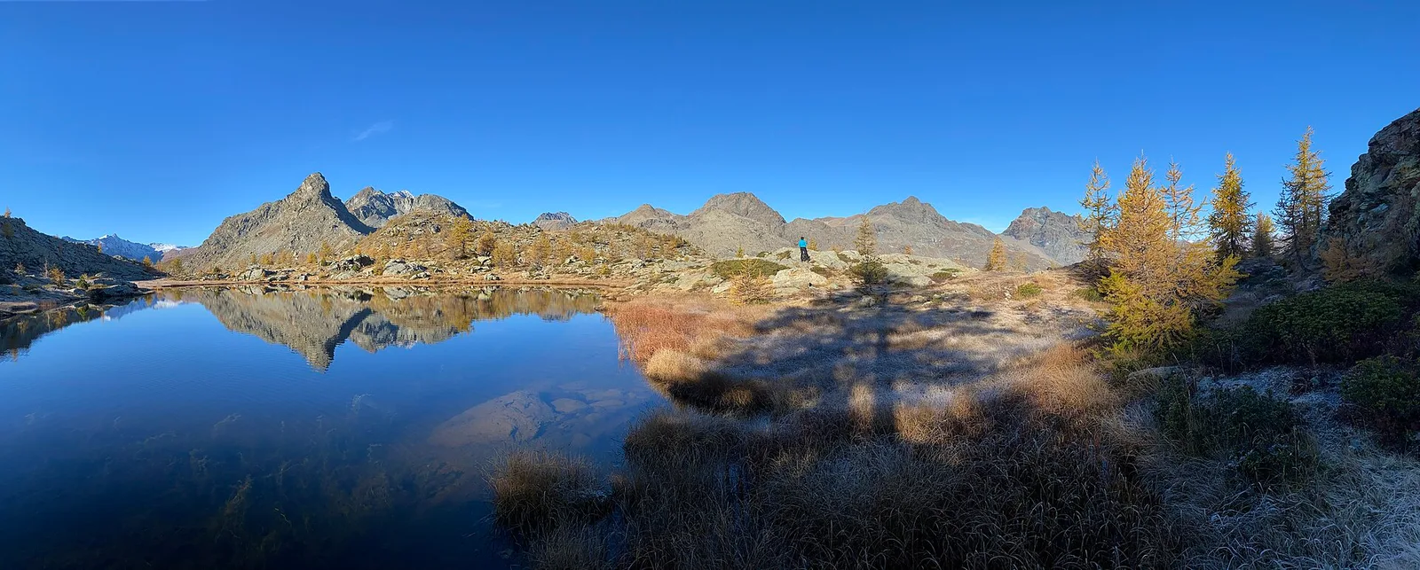
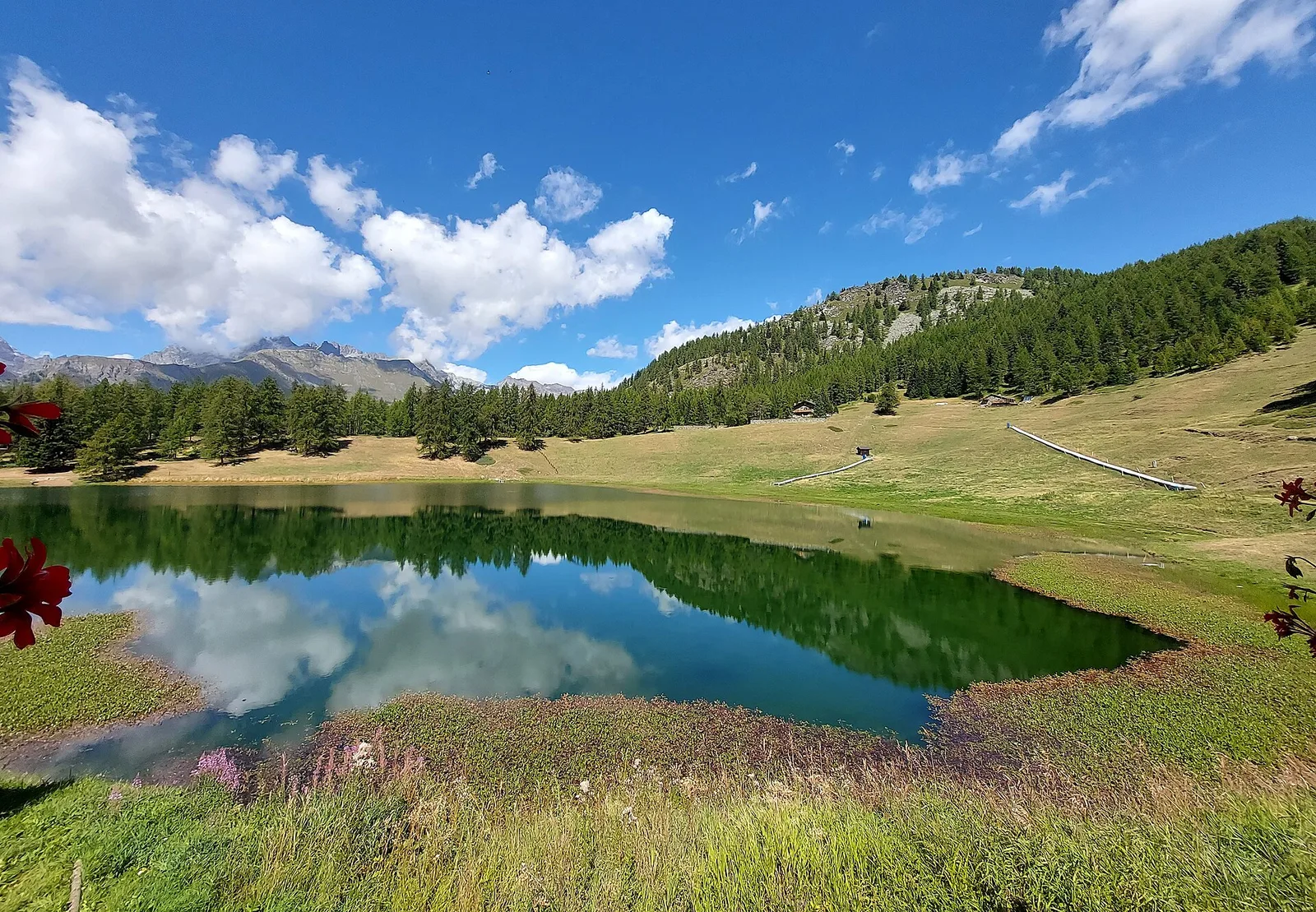
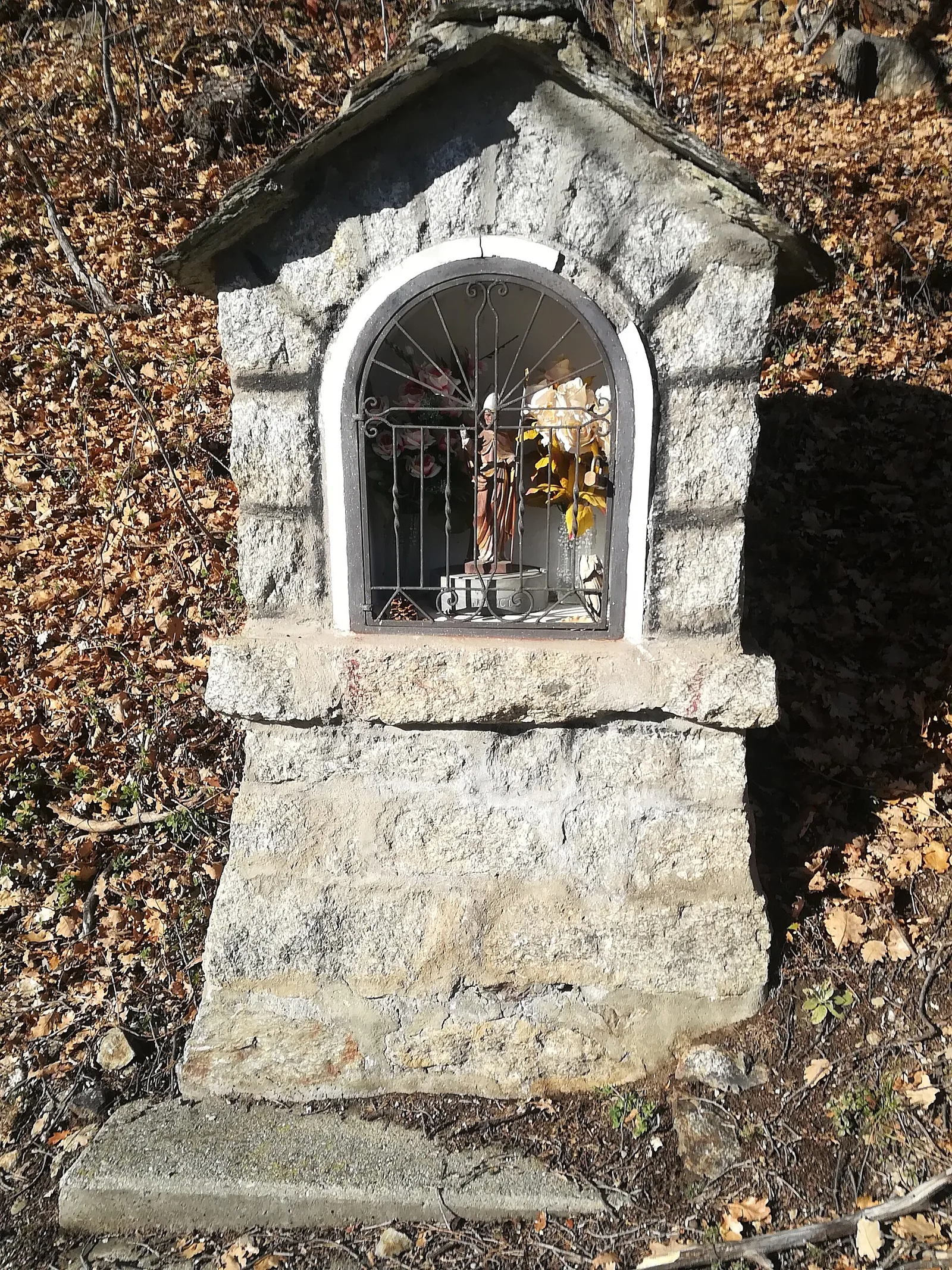
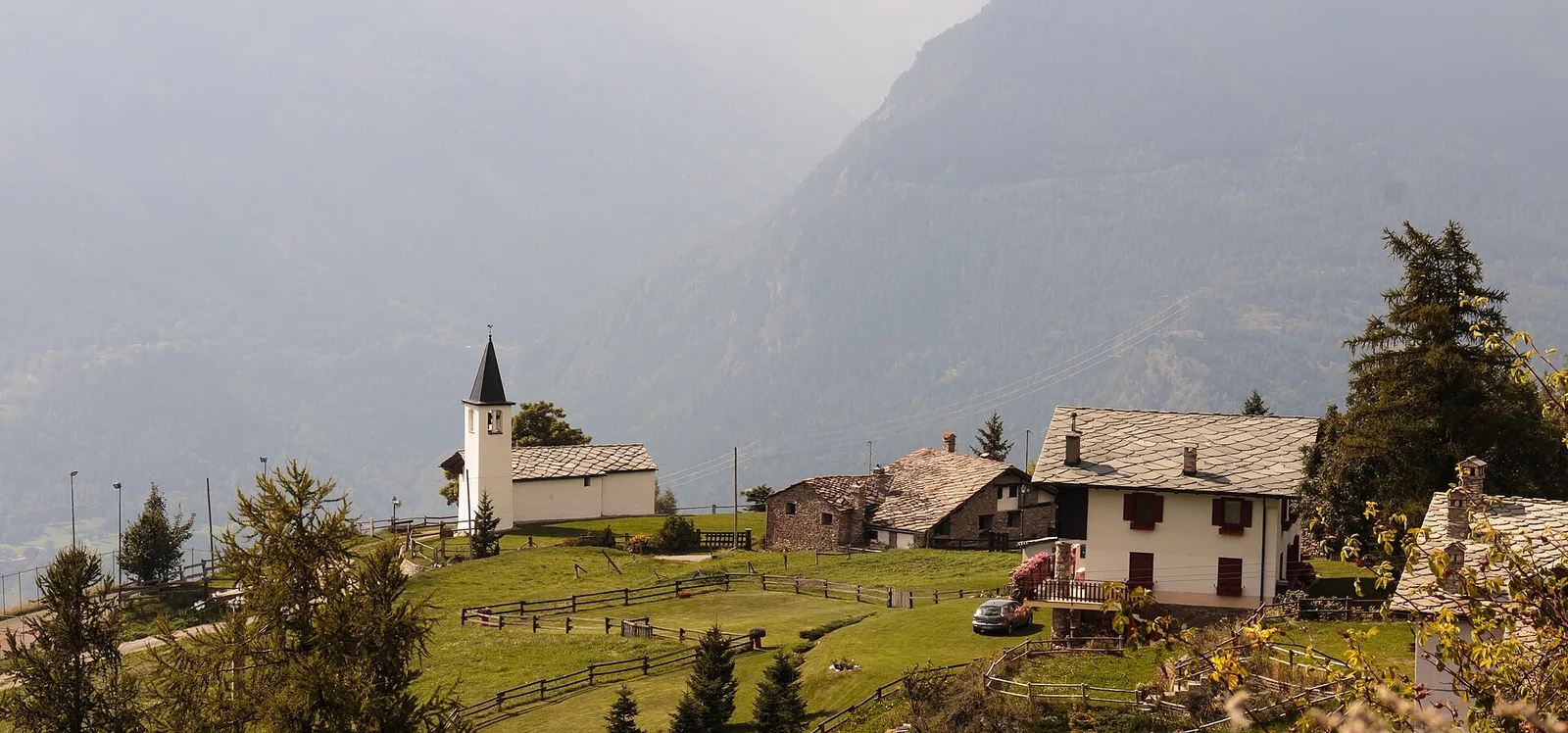
Bassa Valle
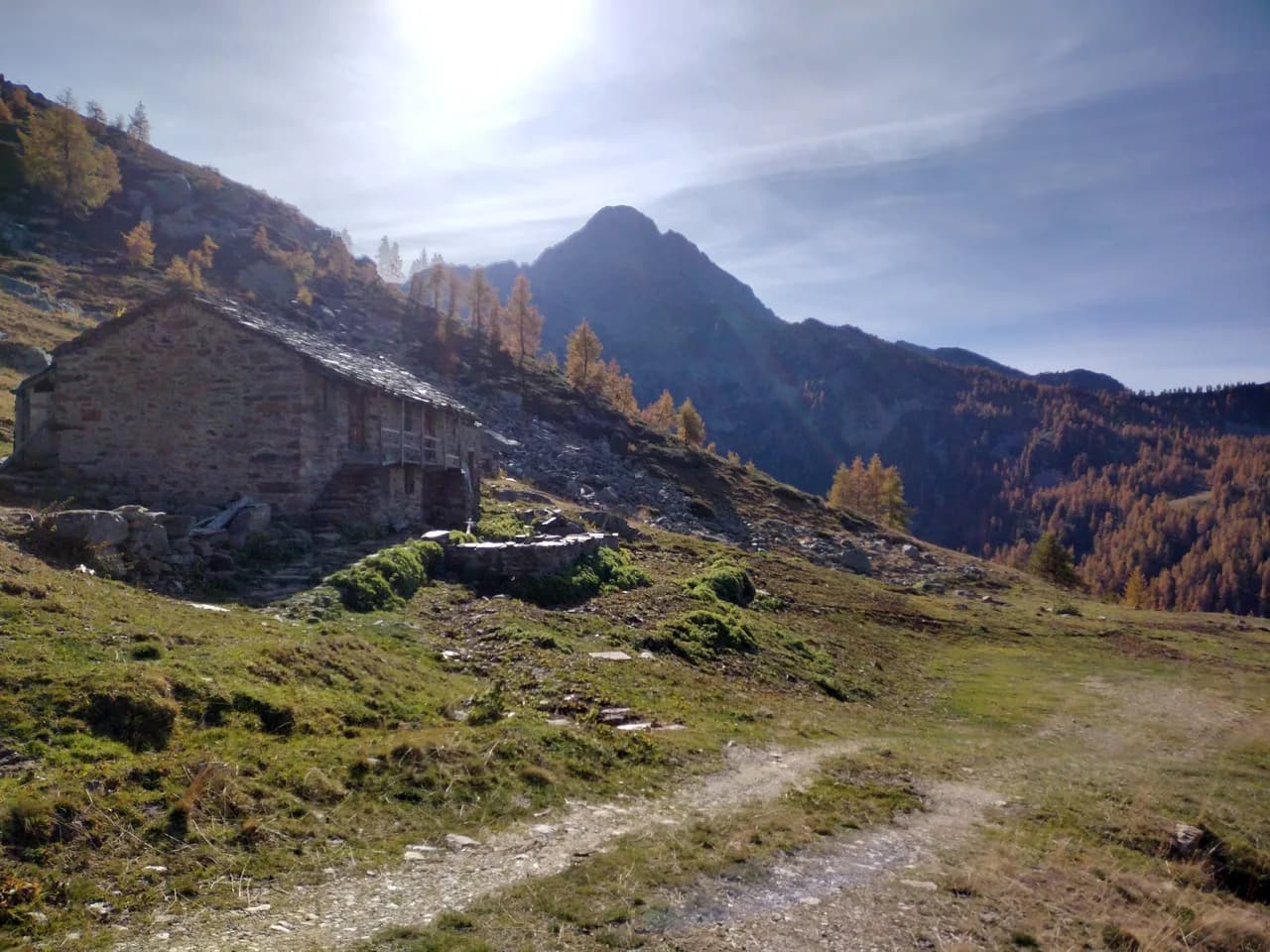
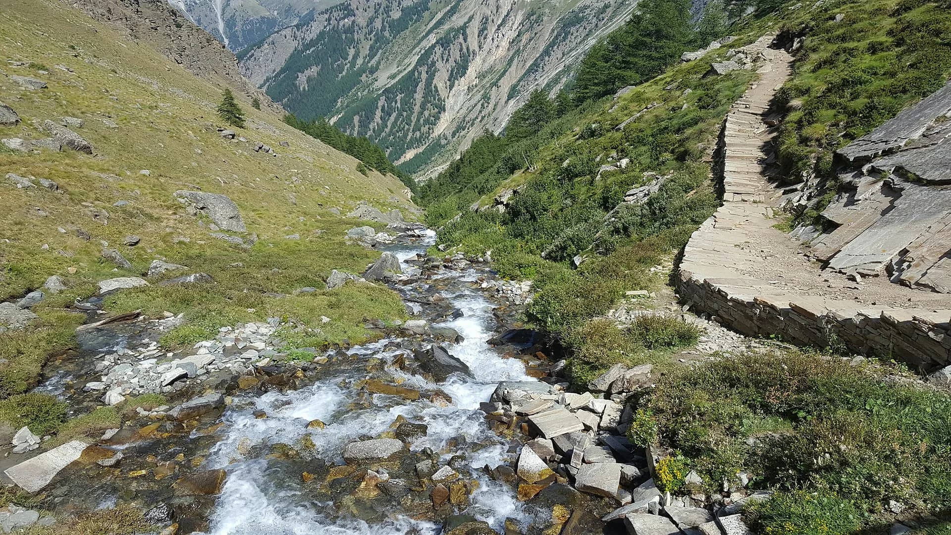
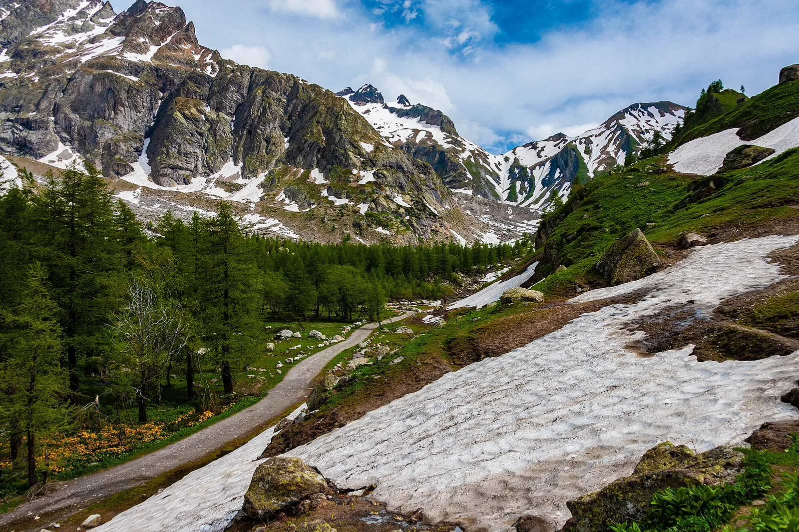
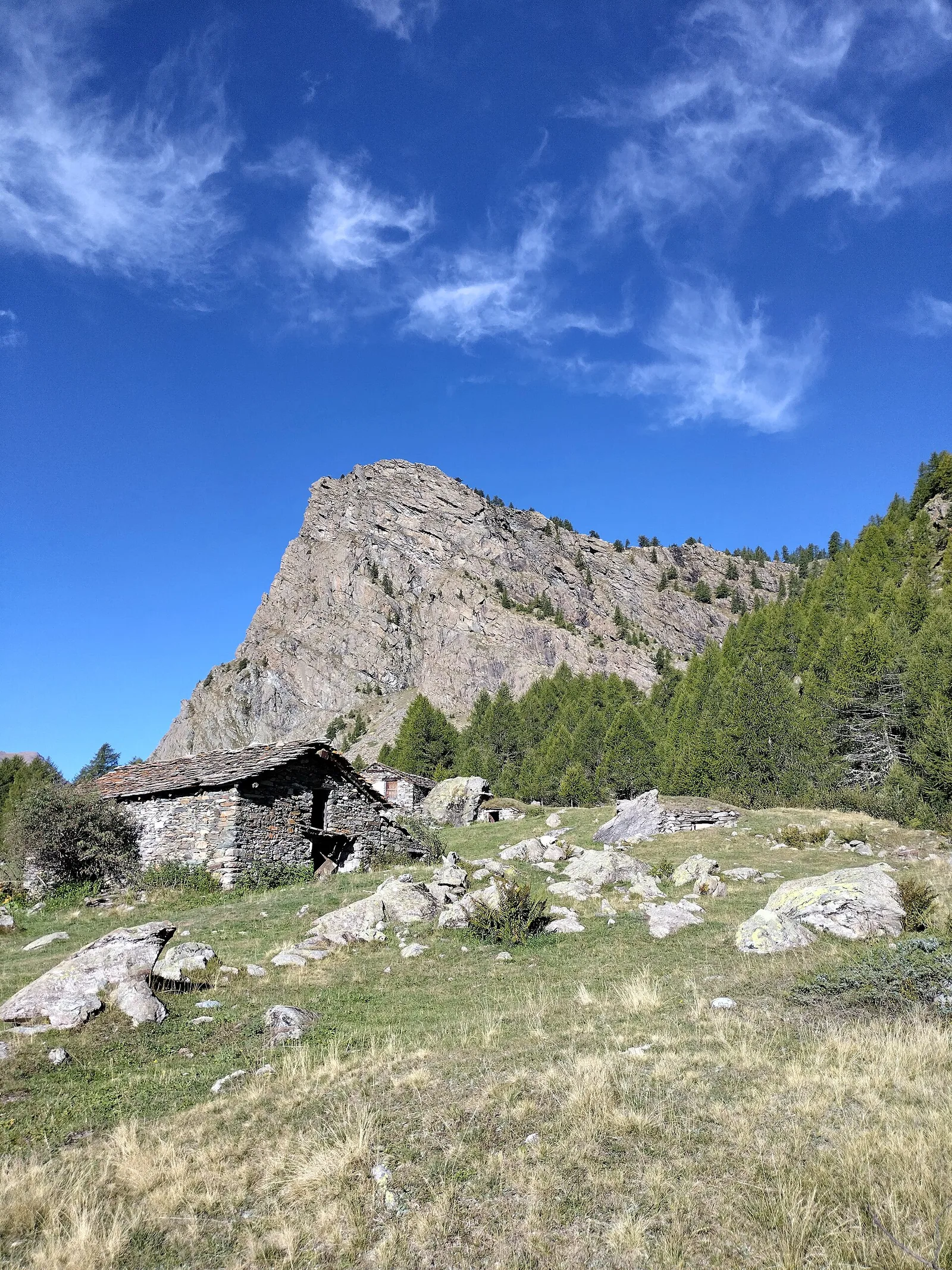
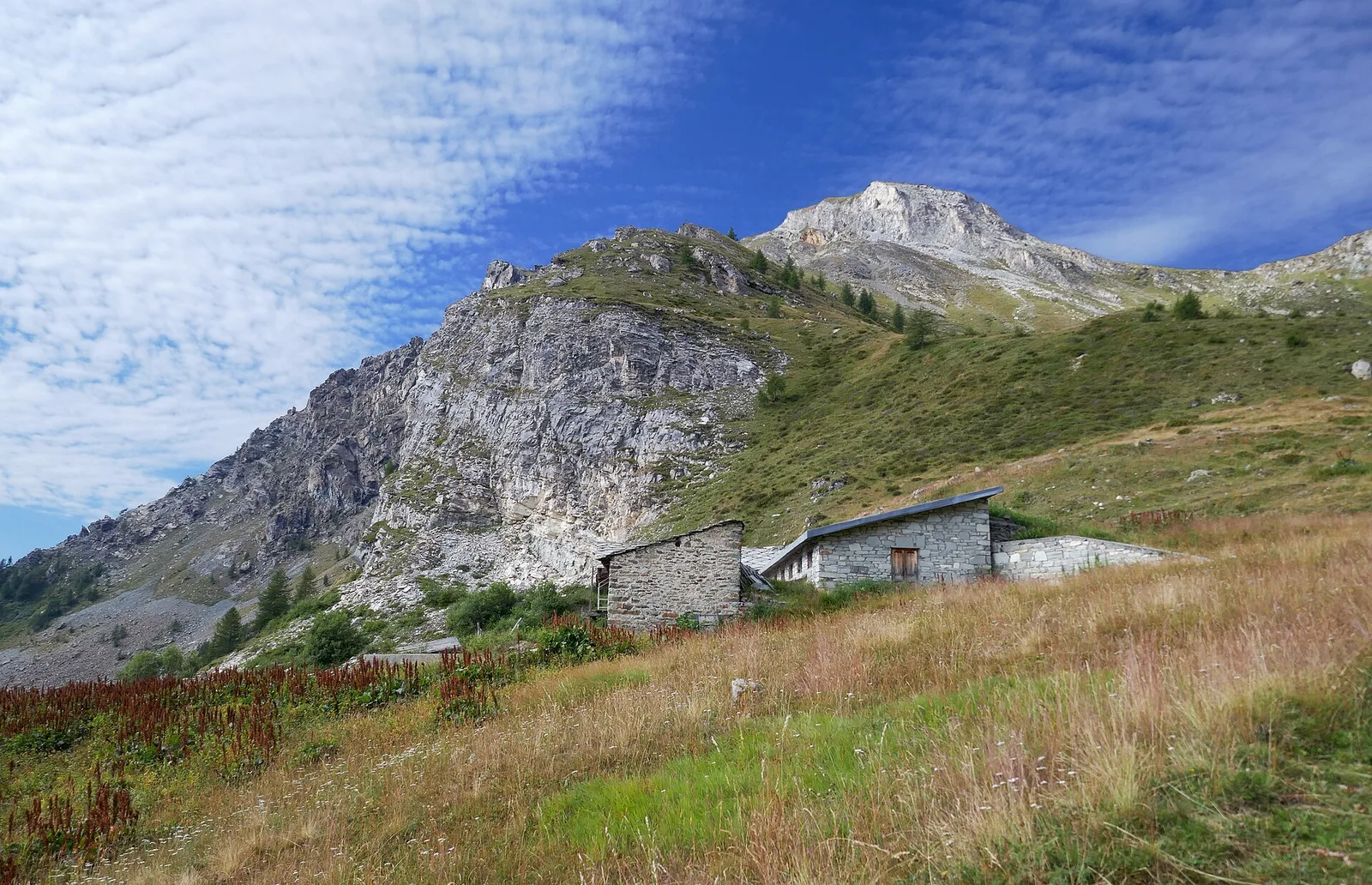
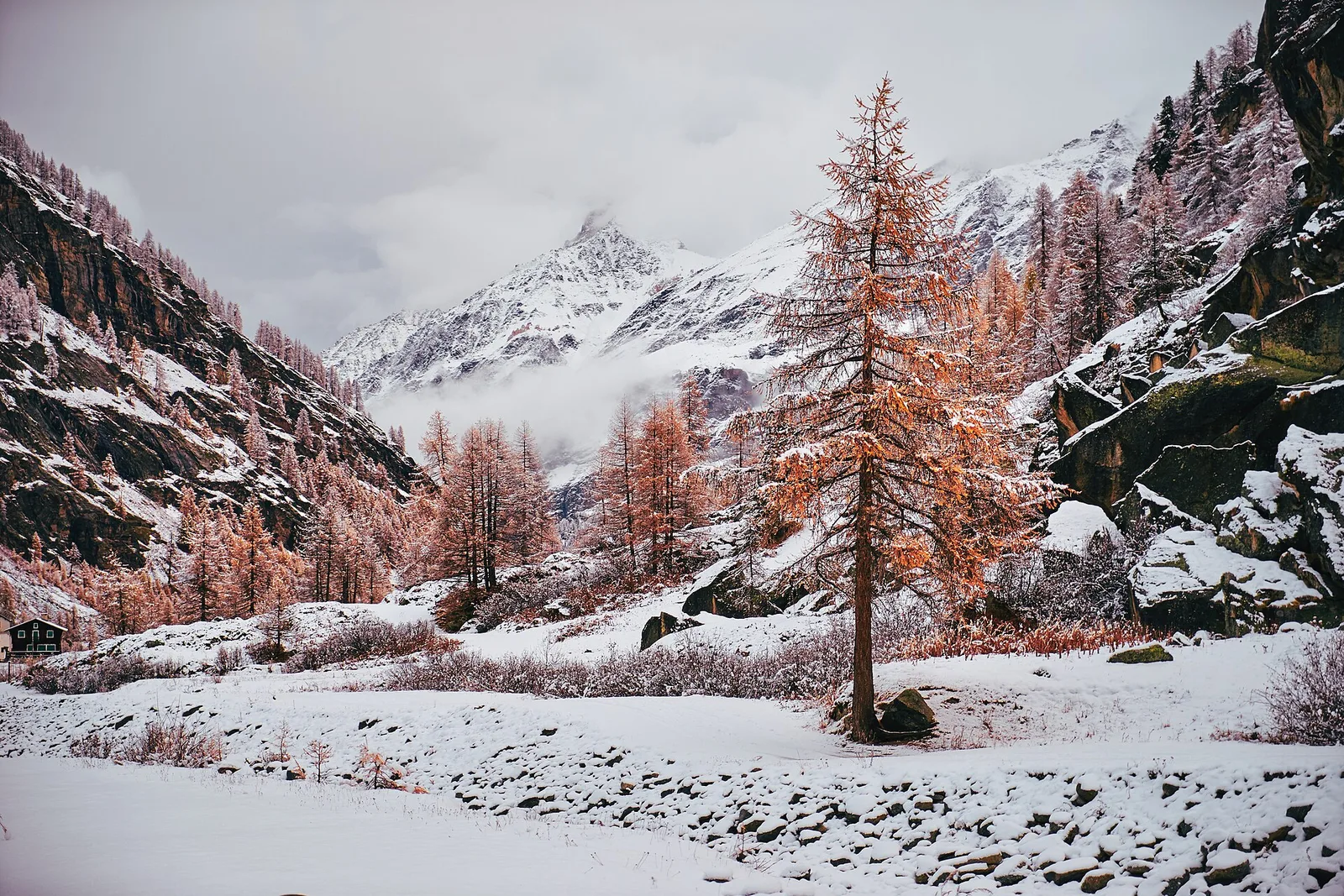
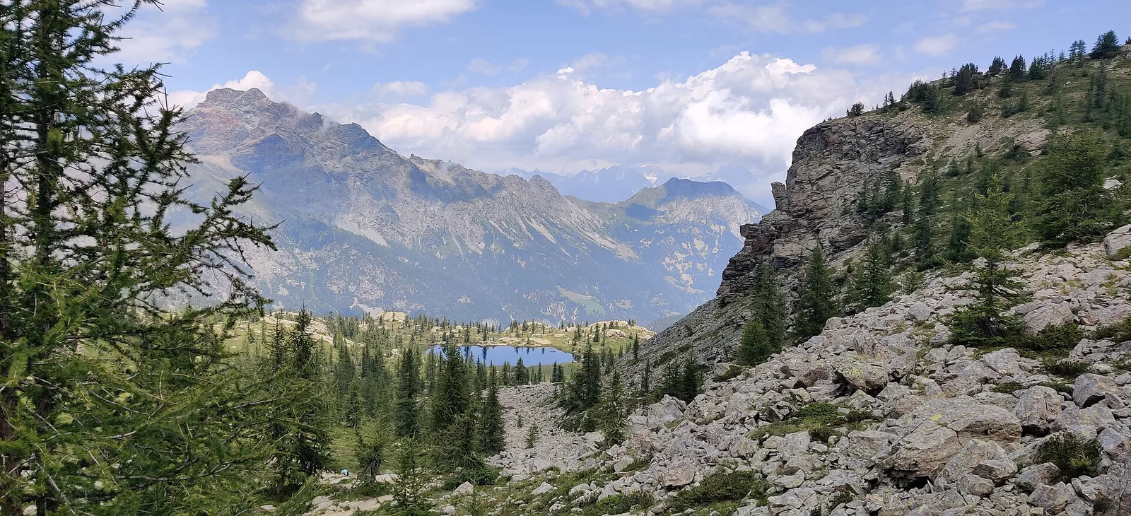
High Route 1 — Stage 1: Donnas → Perloz
The start of the High Route of the Giants, from the valley floor up to Perloz meadows through Walser villages and chestnut groves.
12.5 km+950 m5 h
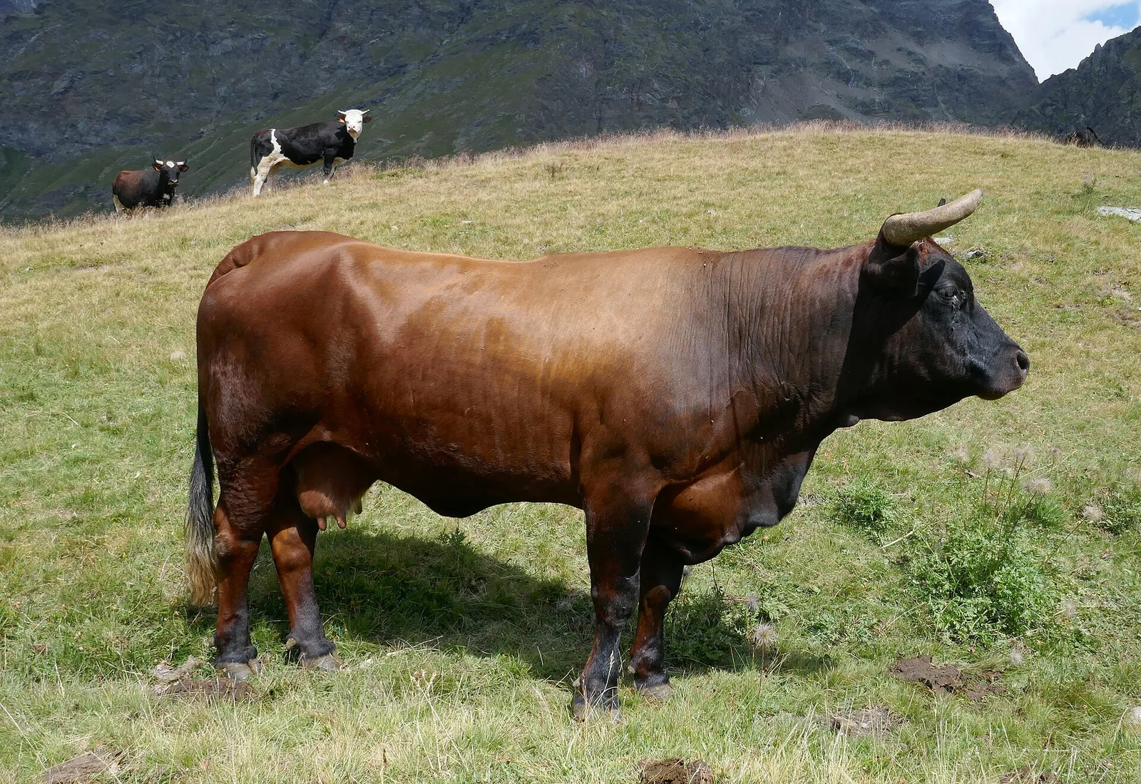
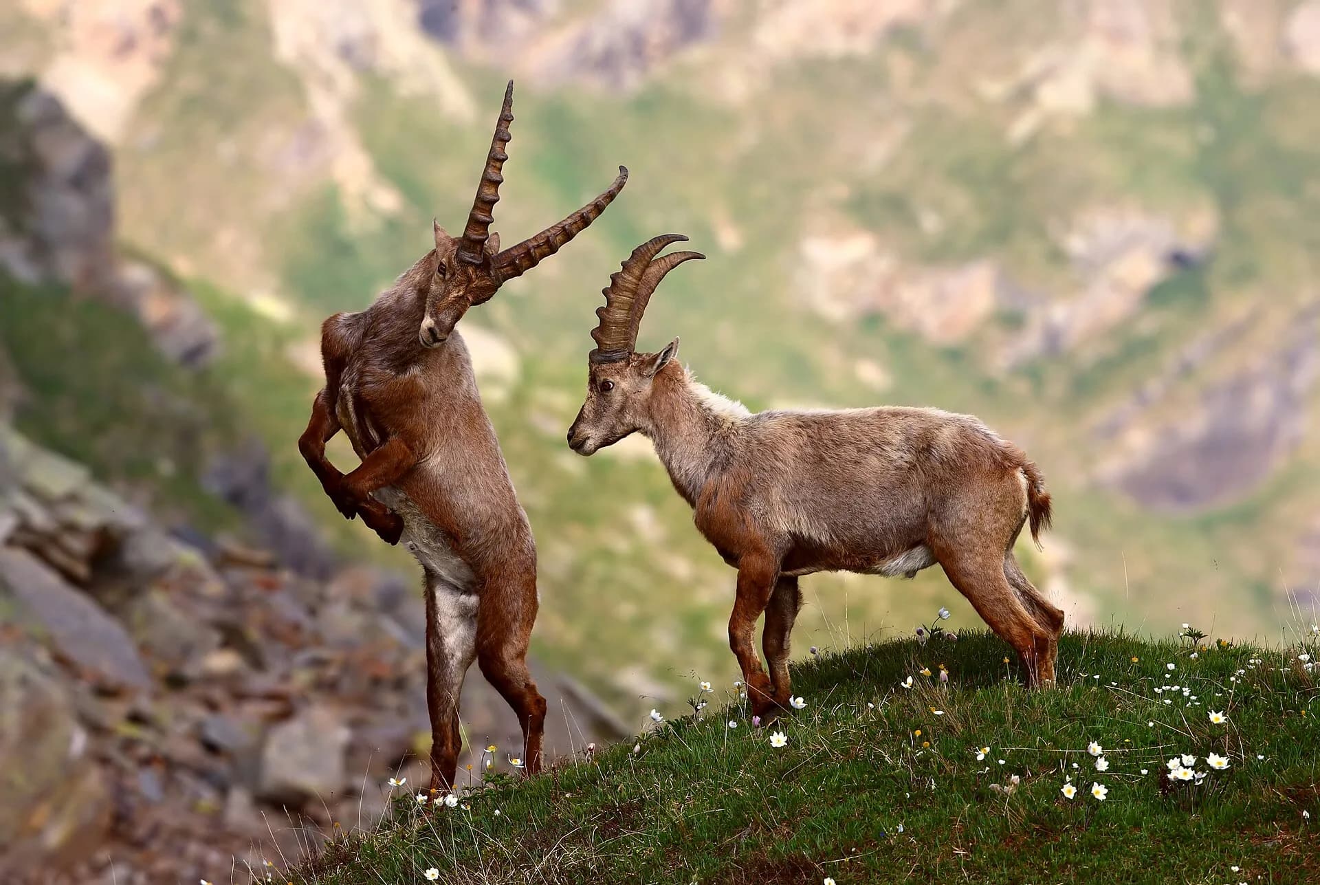
Where to spot
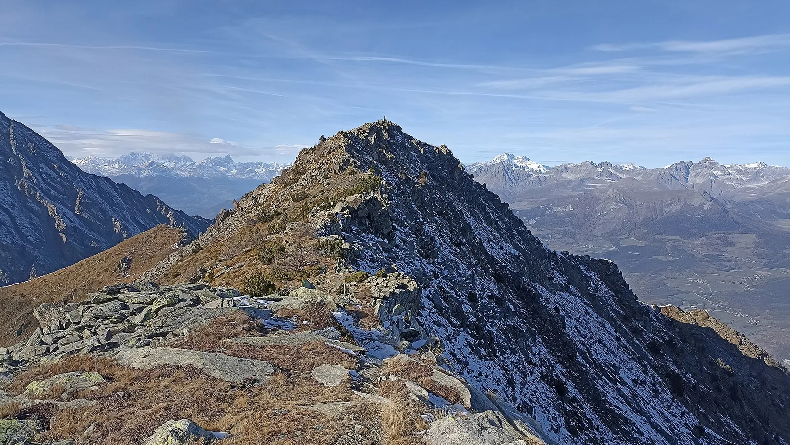
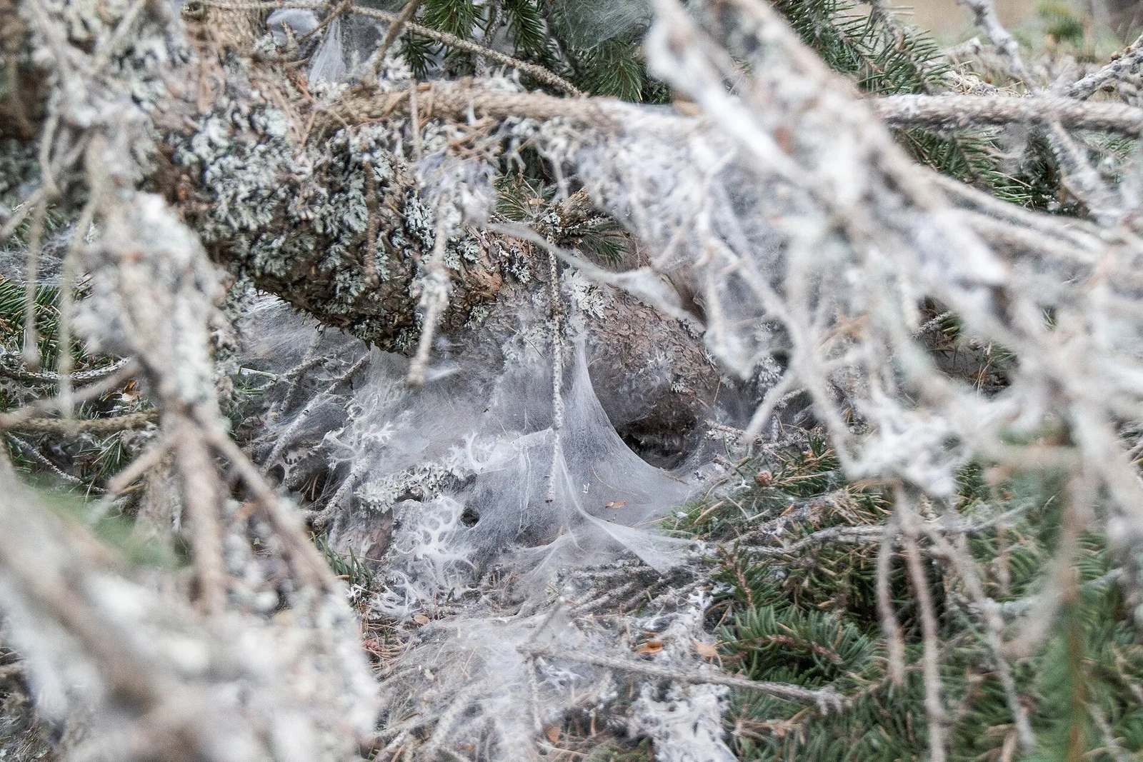
137 trails where Alpine chamois is listed in flora/fauna: difficulty T–EE, elevation gain 0–2969 m.
137 · 0.8–33.1 km · +0–2969 m
Bassa Valle
The start of the High Route of the Giants, from the valley floor up to Perloz meadows through Walser villages and chestnut groves.
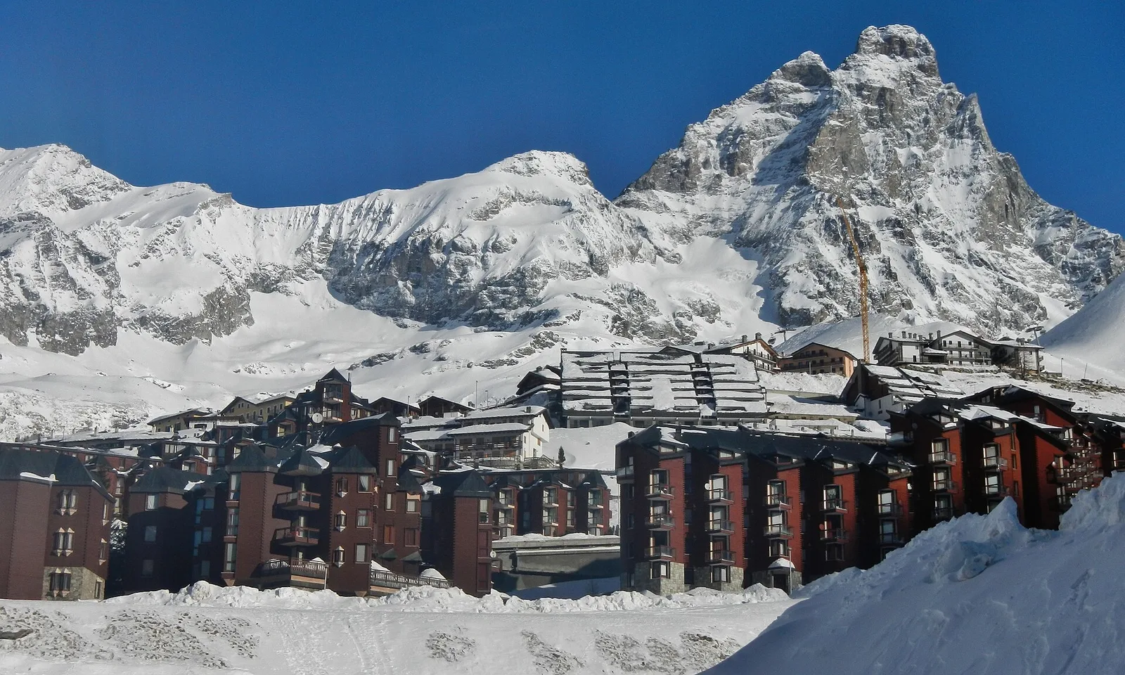
Valtournenche — Val Saint-Barthélemy
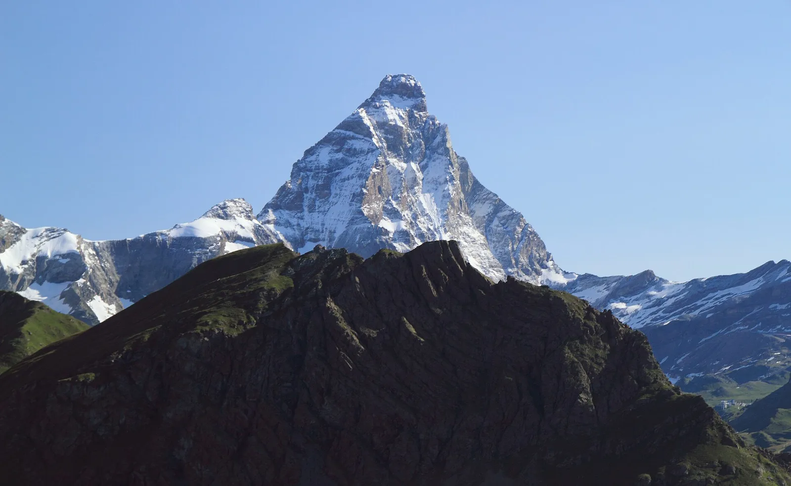
The wild heart of the Alta Via: 17 km across Fenêtre de Tsan, Col Terray and on to Rifugio Oratorio di Cuney, with Matterhorn and Grand Combin dominating a horizon of 2700-metre passes.
Valpelline
From the Sanctuary of Cuney to the Valpelline: a long descent over exposed ridges with short scramble sections, ending at Oyace in the heart of the Aosta Valley's most untouched valley.
Valpelline
The wild Valpelline: Oyace and Ollomont sit at nearly the same elevation, but Col Brison at 2520 m demands over 1100 m of climbing with views to Mont Vélan and Grand Combin on the Swiss border.
Valpelline — Conca di By
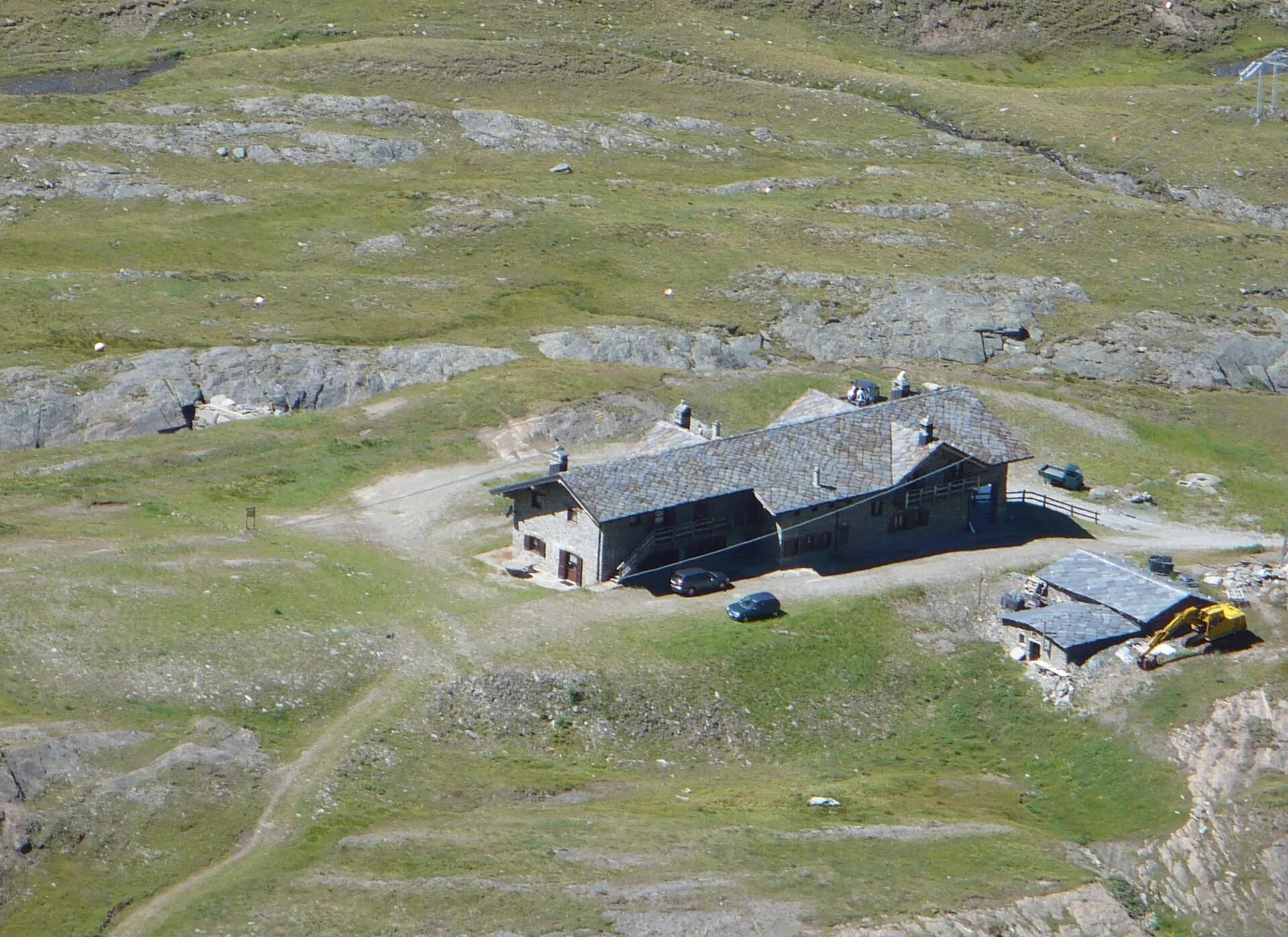
From Ollomont to Rifugio Champillon in the Conca di By: 1000 m of climbing through forests and summer farms to one of the AV1's most distinctive huts, complete with mountain sauna and yurt.
Valle del Gran San Bernardo
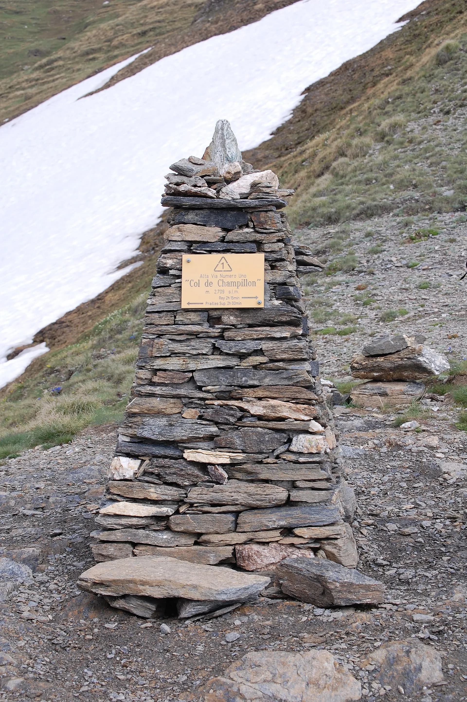
Over Col Champillon (2709 m) with panoramic views from Mont Blanc to Gran Paradiso, followed by a long descent to Saint-Rhémy-en-Bosses in the historic upper Grand Saint-Bernard valley.
Valle del Gran San Bernardo
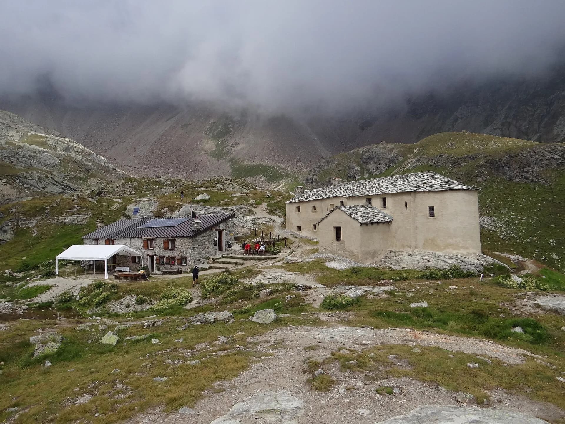
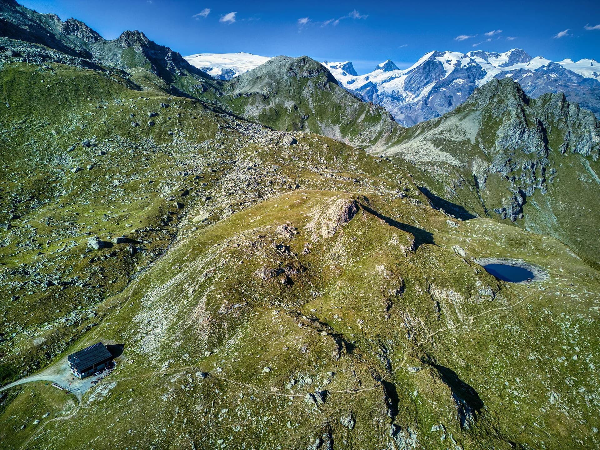
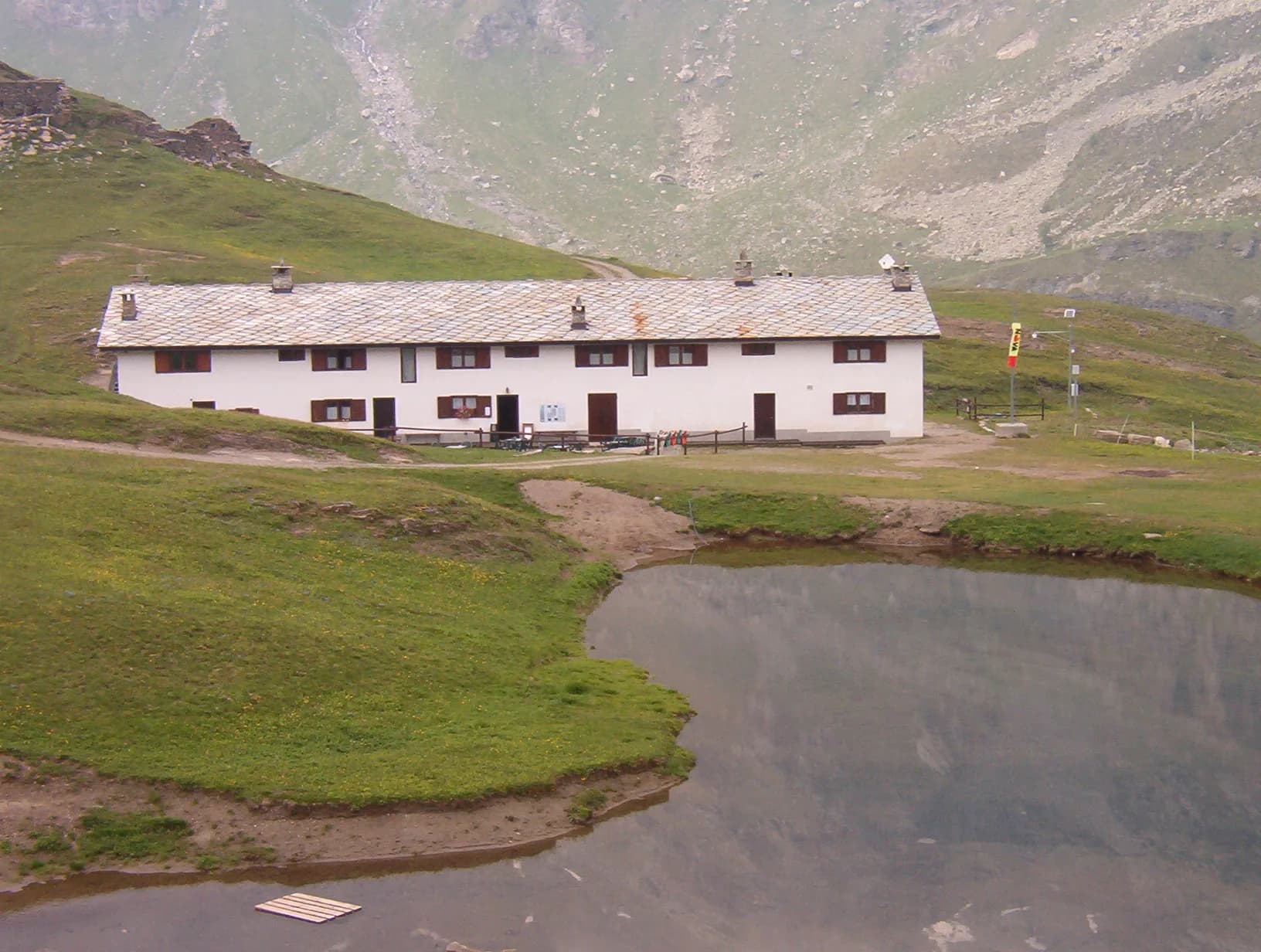
A steady climb through the Merdeux basin to Rifugio Frassati at 2540 m, the last overnight stop before tackling Col Malatrà (2925 m), the highest pass on the entire Alta Via 1.
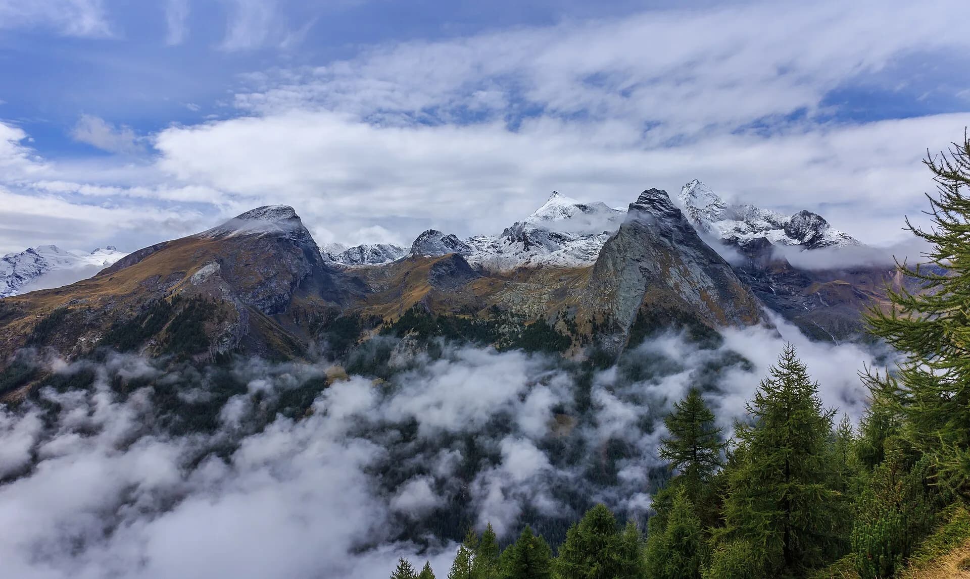
Val Ferret
Col Malatrà at 2925 m is the rooftop of Alta Via 1: from the panoramic crest above Mont Blanc the trail descends into Val Ferret to the legendary Rifugio Walter Bonatti.
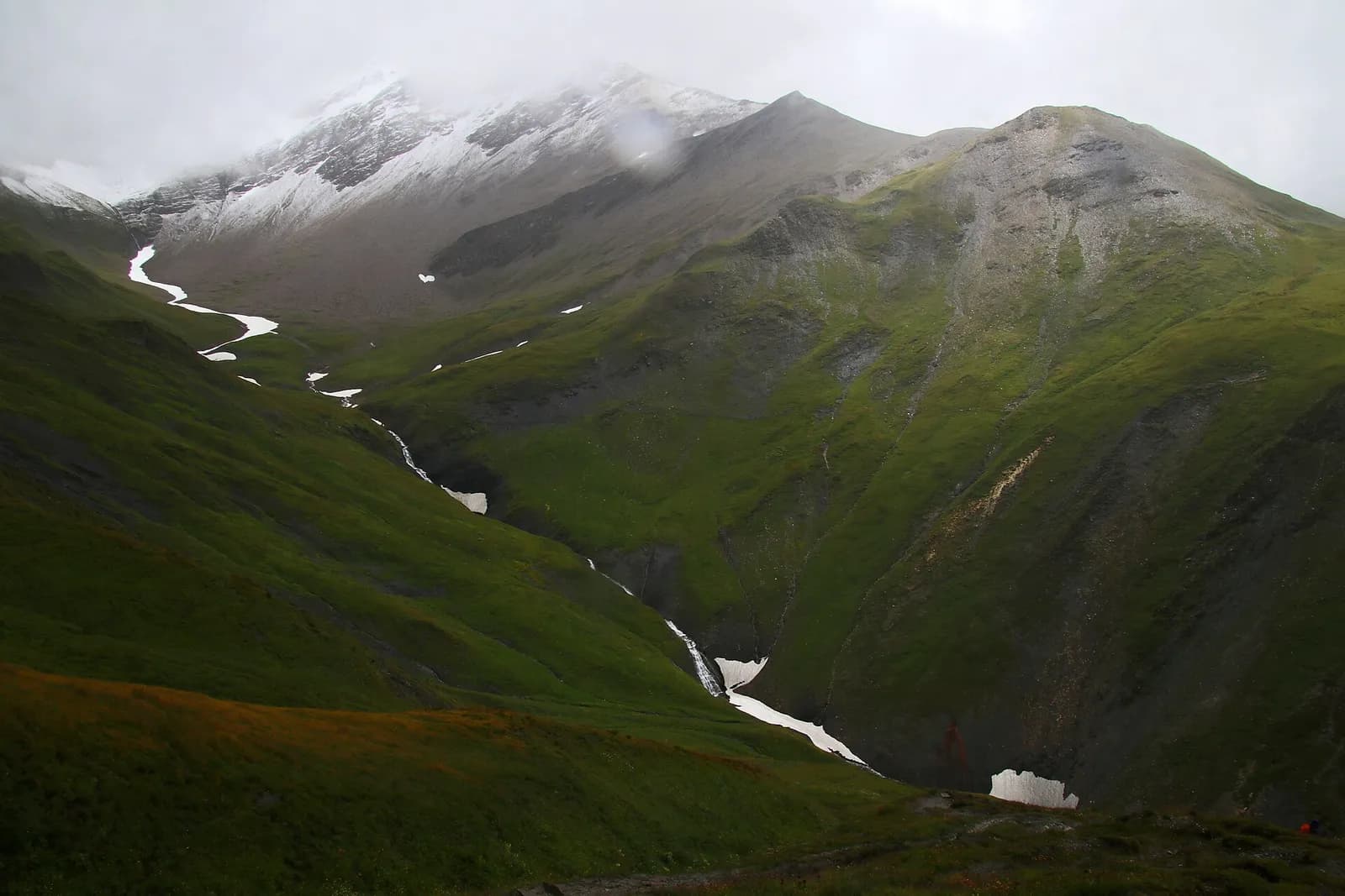
Bassa Valle — Mont Mars
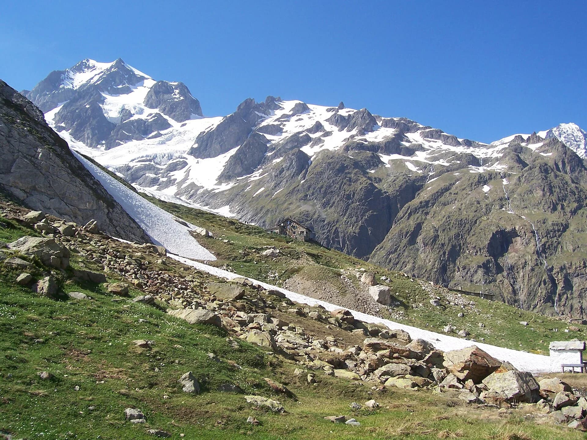
From Perloz hill the trail climbs through Lillianes forest and into the Mont Mars Nature Reserve, where Rifugio Coda at 2280 m opens the view to the high valley.
Mont Mars — Valle di Gaby
A high-level traverse between Mont Mars and the Barma Lakes: a skyline path linking two historic huts across a landscape of peat bogs, glacial slabs and end-of-summer bilberry.
Valle di Gaby
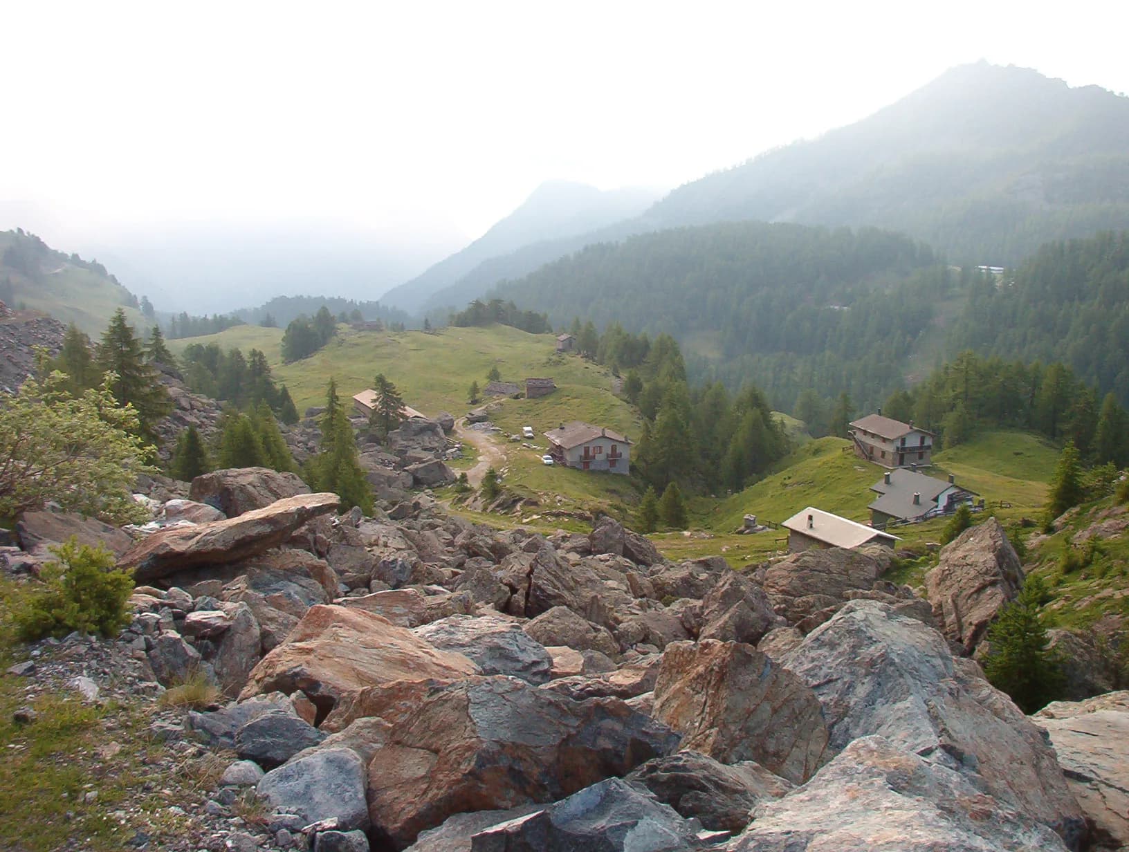
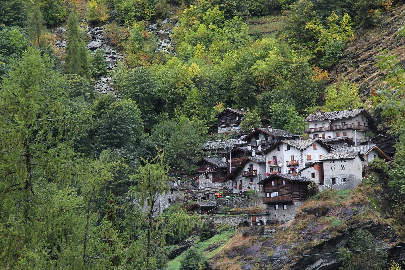
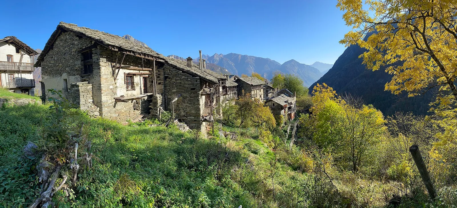
From Barma Hut the trail descends to Niel, Gaby's most remote Walser hamlet: a village frozen in time where dark-stone houses preserve centuries of alpine culture.
Valle di Gressoney
The longest stage in this sequence: 18 km of solitary ridge walking above the Lys valley with Monte Rosa views, ending in the Walser town of Gressoney-Saint-Jean.
Valle di Gressoney — Valle d'Ayas
Crossing Col Pinter at 2777 m is the highlight of this stage: a wild pass between two alpine valleys where Monte Rosa dominates the entire eastern horizon.
Valle d'Ayas
From the ridges above Champoluc to Rifugio Grand Tournalin with the Matterhorn always in view: high-mountain terrain with sweeping panoramas over the Ayas valley and its pastoral landscape.
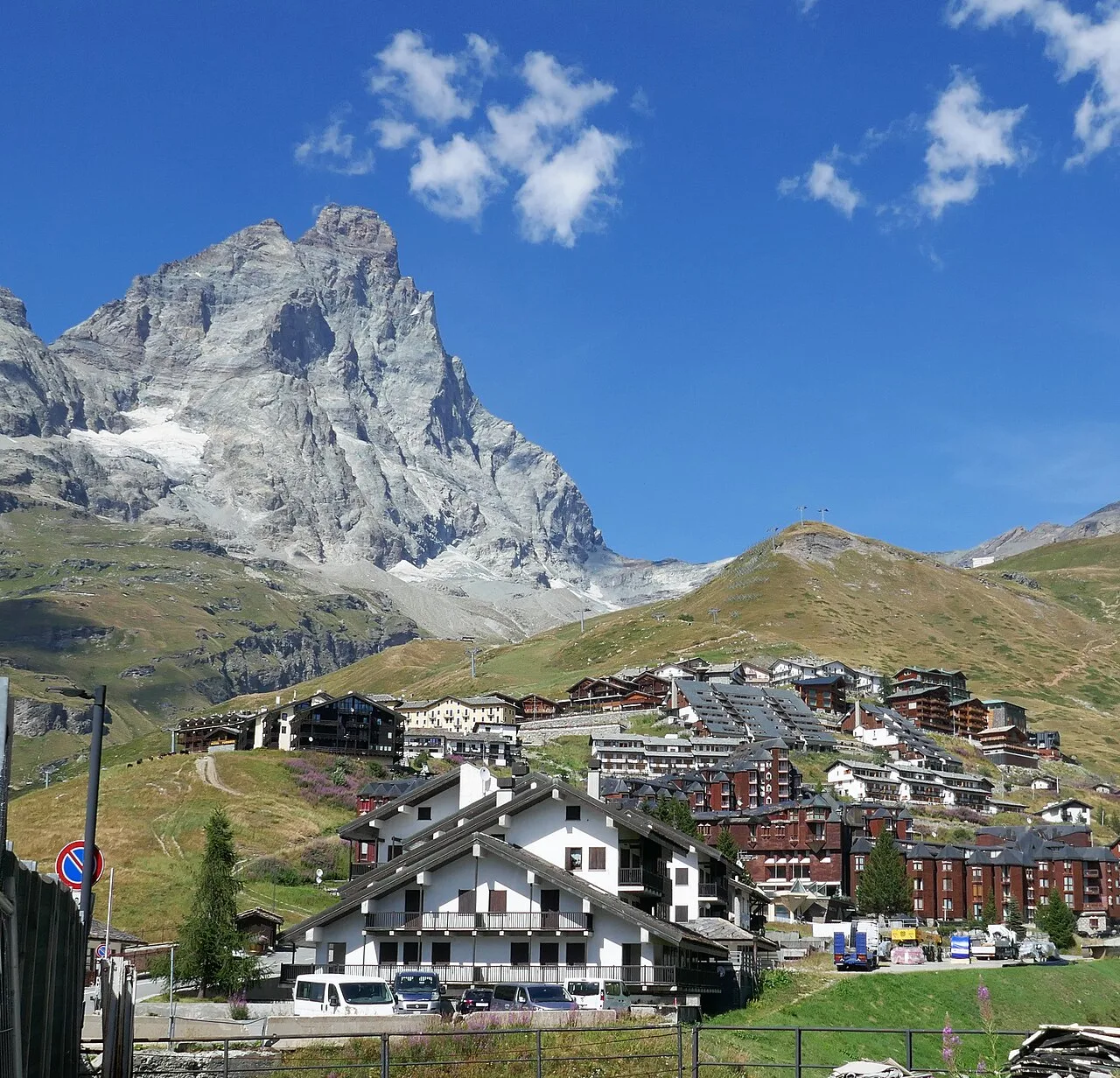
Valtournenche
The great descent: from Rifugio Grand Tournalin losing over a thousand metres to the valley floor of Valtournenche, passing through the scenic plateau of Cheneil with Matterhorn views.
Valtournenche
The shortest stage on the entire AV1: 4.7 km of sustained climbing from Valtournenche to Rifugio Jean Barmasse on the shores of Lago di Cignana, in preparation for the hardest day ahead.
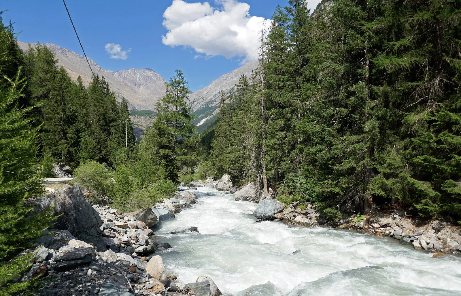
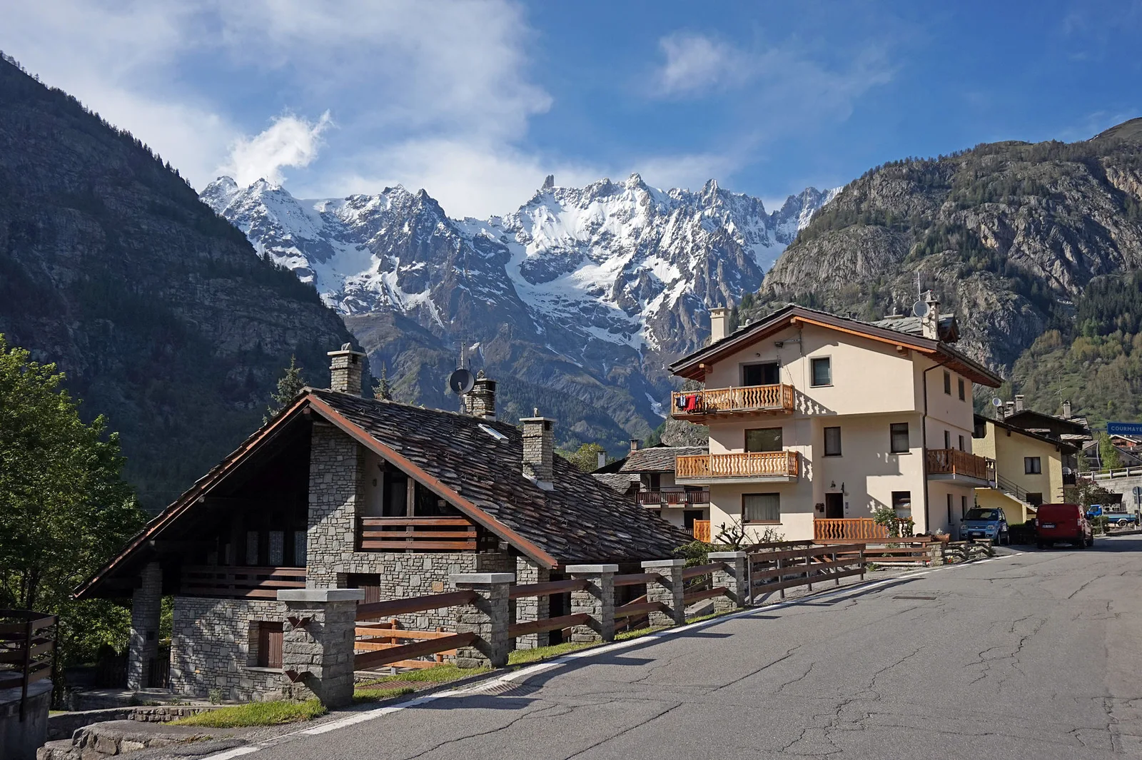
Val Veny
First stage of AV2: from Courmayeur to Rifugio Elisabetta in Val Veny, at the foot of Mont Blanc.
Val di Cogne
Climb from Cogne centre to Rifugio Sogno di Berdzé at Péradzà.
Champorcher
Cross Fenêtre de Champorcher and Lake Misérin to Dondena.
Champorcher
Descent along the «Scaletta» trail to Champorcher village.
Champorcher
Long stage to Crest-Damon with climb to Colle della Fricolla.
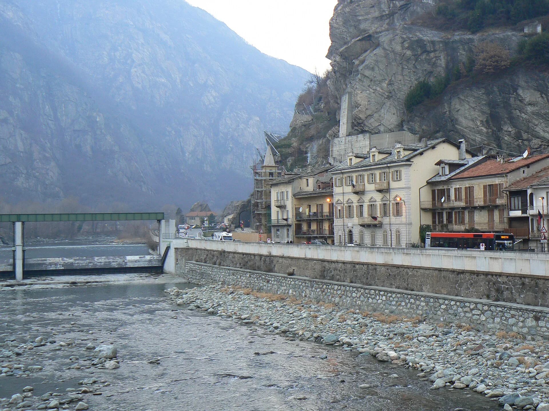
Bassa Valle
Final AV2 stage: from Retempio sanctuary to Donnas in the valley floor.
Val Veny
Descent from Col des Chavannes to La Thuile across pastures and the La Thuile valley.
La Thuile
Climb to Rifugio Deffeyes and Promoud bivouac in the Rutor valley.
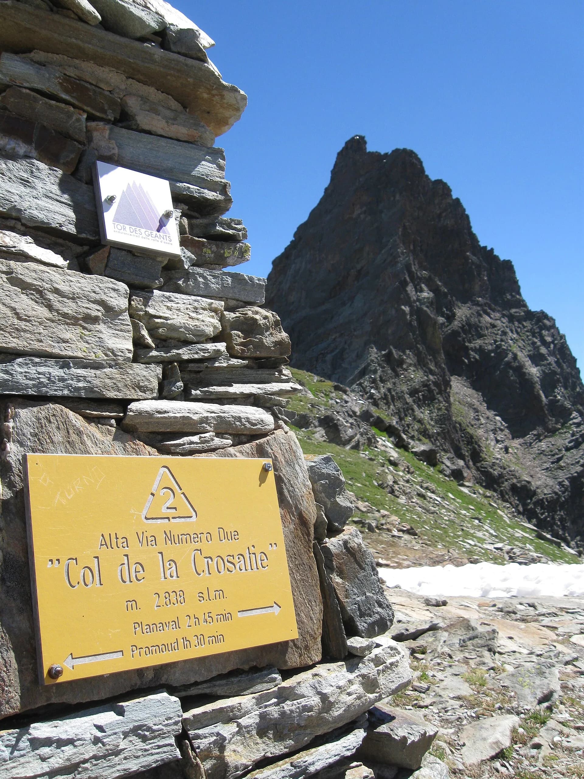
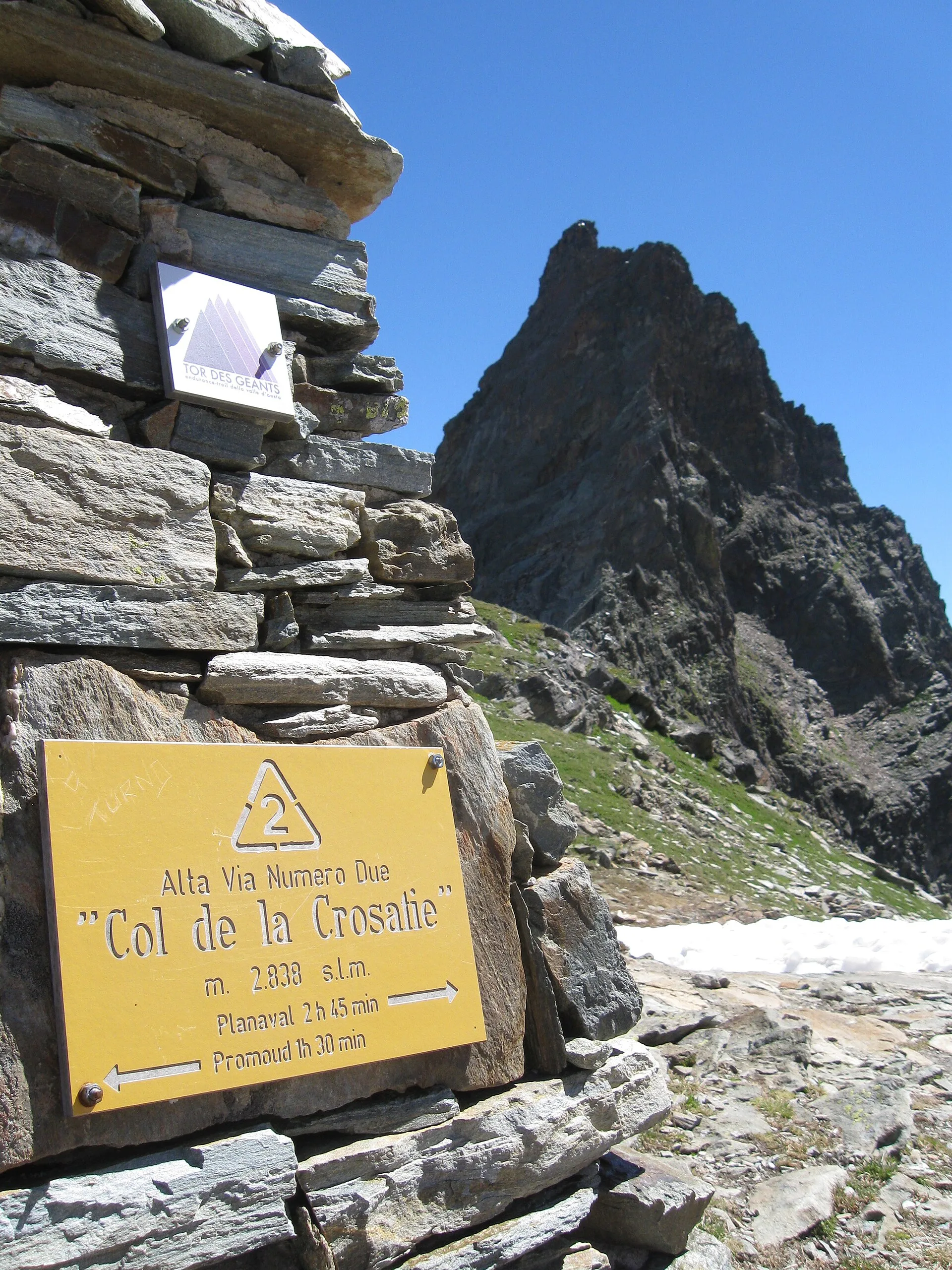
La Thuile
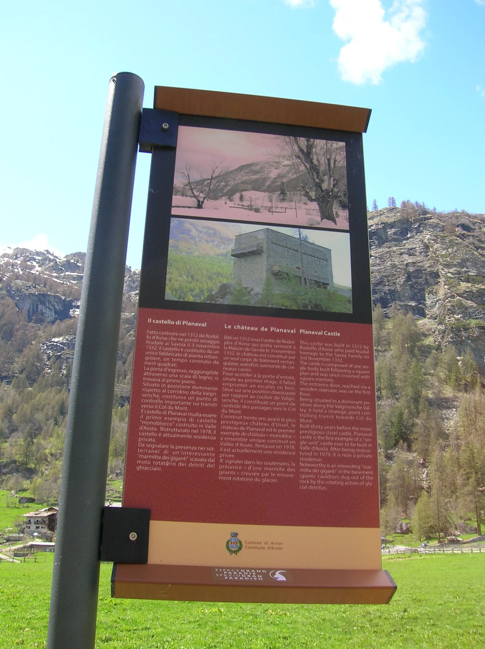
Cross Col de la Crosatie and descend toward Planaval in Valgrisenche.
Valgrisenche
Cross Valgrisenche to Rifugio Chalet de l'Épée.
Valgrisenche
Descent from Col Fenêtre to Val di Rhêmes and Rhêmes-Notre-Dame.
Val di Rhêmes
Iconic AV2 stage: Col Entrelor, Lake Djouan and descent to Eaux-Rousses.
Valsavarenche
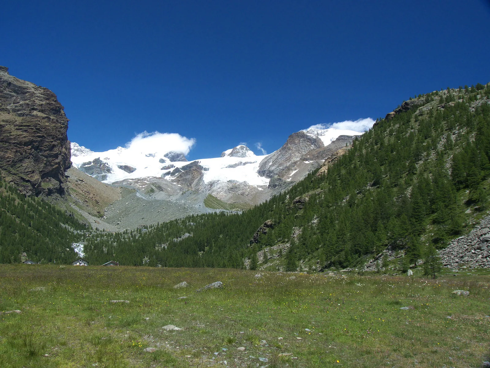
Highest stage on VdA High Routes: Col du Loson (3296 m) and Rifugio Vittorio Sella.
Val di Cogne
Scenic descent from Vittorio Sella to Cogne via Valnontey.
Val d'Ayas
3.8 km · +608 m · E — from Arbaz to Tete de Comagne (Ayas Valley).
Val Veny
3.6 km · +420 m · E — from Area pic-nic Plan Veny to Lac du Breuillat (Great St Bernard Valley).
Val Ferret
2.2 km · +291 m · E — from Arp-Nouva to Rif Elena (Great St Bernard Valley).

Valle di Champorcher
13.9 km · +1540 m · E — from Barche to Grand Alpe (Lys Valley).
Val di Cogne
3.1 km · +346 m · E — from Belvedere to Sentiero Natura (Lys Valley).

Valpelline
Upper Valpelline, Bionaz: an E-rated route toward a glacial objective over open terrain.
Valtournenche
A long traverse through Valtournenche from the vineyards of Bourg (1,078 m) to the pastures of Maen (1,991 m), with views toward the Matterhorn.
Valtournenche
1.8 km · +21 m · T — from N.D. to N.D. (Central Valley).
Valtournenche
2.6 km · +21 m · E — from N.D. to N.D. (Central Valley).
Valtournenche
1.2 km · +136 m · E — from Breuil to Cielo Alto (Central Valley).
Valtournenche
1 km · +136 m · E — from Breuil to Cielo Alto (Central Valley).
Val d'Ayas
Upper Val d'Ayas, Brusson: a route toward a panoramic objective over open terrain.
Val d'Ayas
4.5 km · +937 m · EE — from Capiron to Mont Lyan (Central Valley).

Valle di Champorcher
3.8 km · +903 m · E — from Castagnot to Colle d'Arcomy (Central Valley).
Valgrisenche
In the Valgrisenche, commune of Arvier: an E-rated climb through forest and meadows toward a high-altitude pasture.
Valle centrale
9.8 km · +1097 m · E — from Champex to Arp (Rhêmes Valley).
Valle di Champorcher
2.7 km · +567 m · E — from Chardonney to Bec de Monpey (Valtournenche).
Valle di Champorcher
6.7 km · +665 m · E — from Chardonney to parcheggio Dondena (Valtournenche).

Valle di Champorcher
4.8 km · +647 m · E — from Chardonney to Parcheggio Dondena (Sentiero Scalette) (Valtournenche).
Valle centrale
1.2 km · +181 m · E — from Charvensod to Sainte-Colombe (Cogne Valley).

Valle centrale
2.2 km · +494 m · EE — from Chez Boz to Prapremier (Lys Valley).
Valle centrale
6.8 km · +1427 m · E — from Cloutraz to Mont Barbeston (Valdigne).
Valtournenche
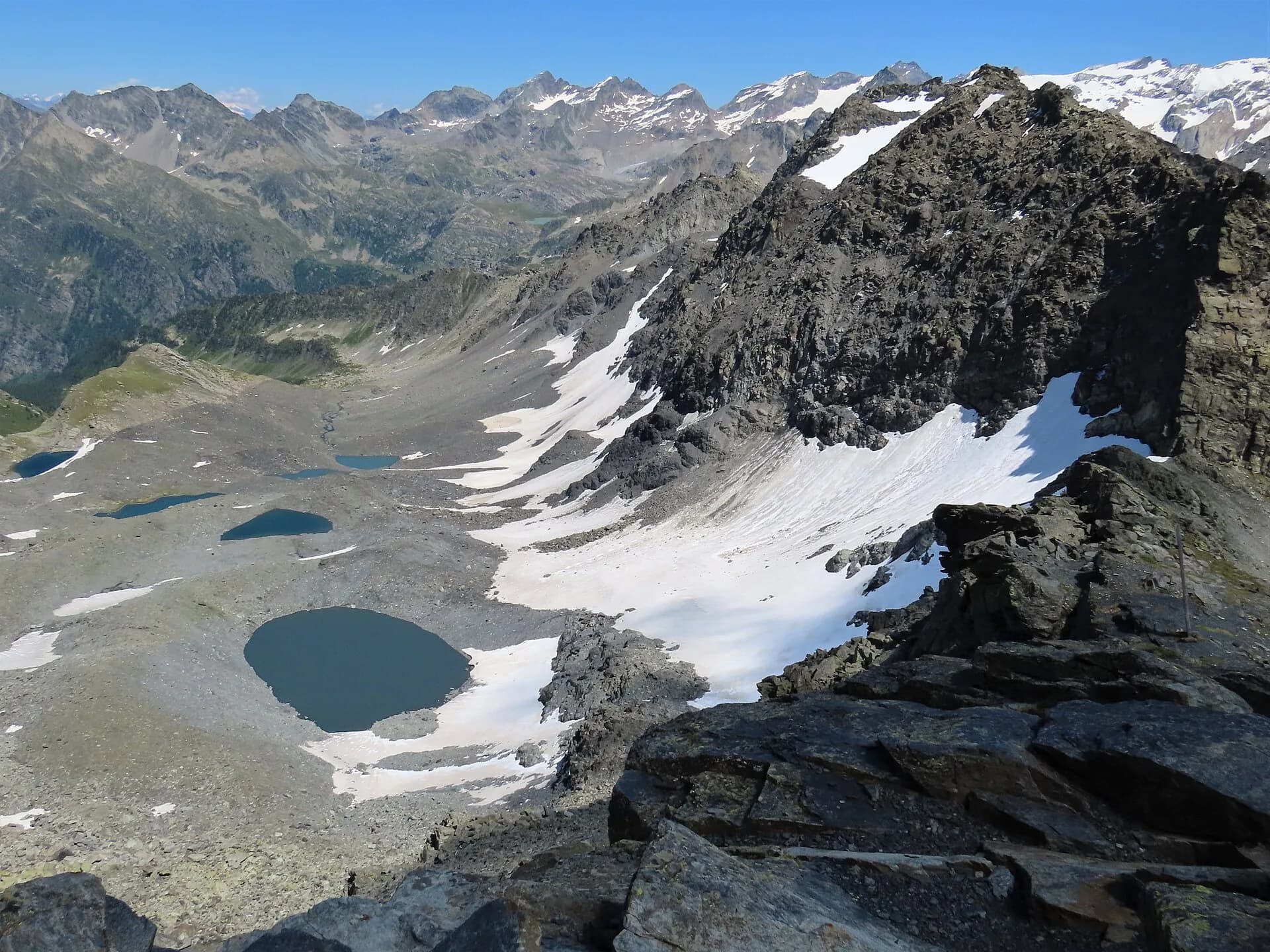
33.1 km · +2969 m · EE — from Col Collon to Colle del Teodulo (Valpelline).
Val d'Ayas
2.4 km · +458 m · E — from Col de Joux to Testa di Comagna (Valtournenche).
Valle centrale
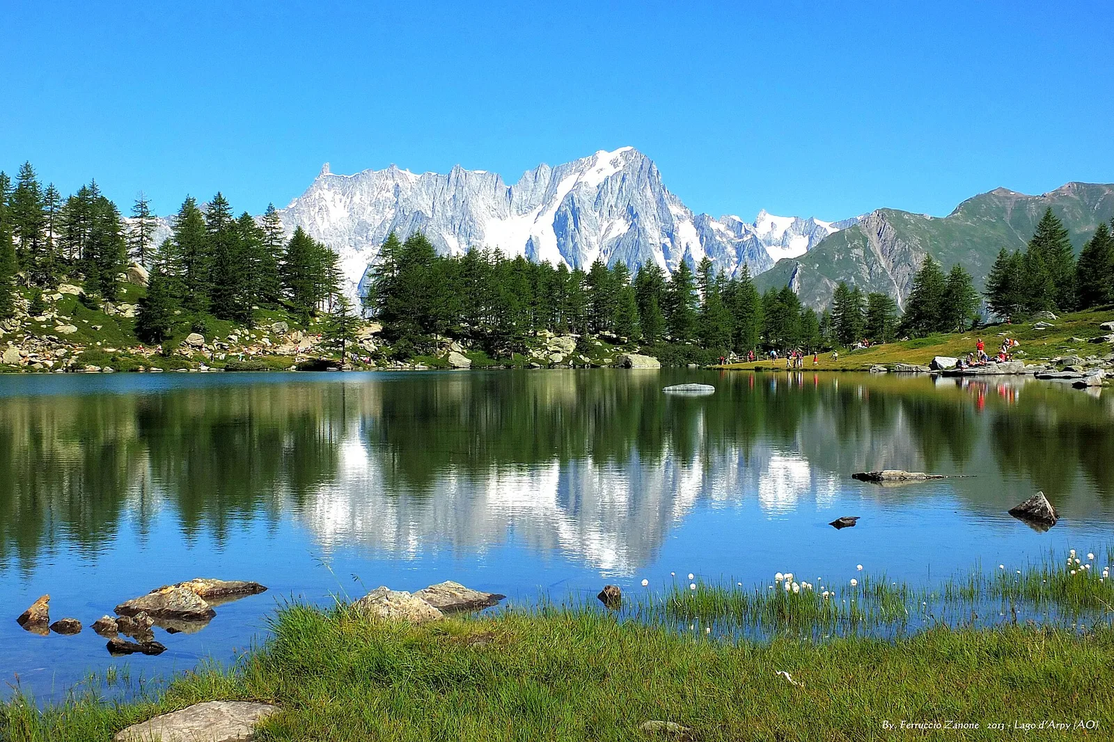
3.1 km · +121 m · T — from Col Saint-Charles to Lac d'Arpy (Central Valley).
Valle centrale
1.2 km · +71 m · T — from Col Saint-Charles to Tête d'Arpy (Central Valley).
Valle centrale
3.7 km · +418 m · E — from Combelin to Alpe Loe (Or) (Central Valley).
Valle centrale
From Costablinaz to Lac d’Arpy (trail 14), Morgex: 6.1 km, +611 m, E. A balcony lake facing Mont Blanc.
Val d'Ayas
A gentle walk from Champoluc to Alpe Résy with sweeping views of the Monte Rosa massif — perfect for families and easy-going mountain walkers.
Valle centrale
11.4 km · +1892 m · E — from Crétaz to Becca d'Aver (Valsavarenche).
Valsavarenche
2.5 km · +549 m · E — from Degioz to Bocconère (Ayas Valley).
Valpelline
4.2 km · +900 m · E — from Doues-Planavilla to Plan du Débat (Valtournenche).
Valle di Champorcher
7.2 km · +710 m · E — from Druges to Plan Rué (Great St Bernard Valley).
Valle centrale
2.7 km · +414 m · E — from Druges to Prapremier (Great St Bernard Valley).
Valle centrale
6.8 km · +797 m · E — from Elevaz to Plan Praz (Rhêmes Valley).
Valtournenche
8 km · +512 m · E — from Etirol to Château (Valpelline).
Valle del Lys
7.2 km · +1683 m · E — from Fey to Mont Crabun (Central Valley).
Val d'Ayas
1.6 km · +255 m · E — from Fiéry to Résy (Central Valley).
Valle centrale
9.7 km · +1194 m · E — from Fonteil to Col de Saint-Barthélem (Rhêmes Valley).
Valle di Champorcher
5.7 km · +0 m · E — from Parcheggio Dondena to Lac Muffé (Valtournenche).
Valgrisenche
From Grand Haury the route climbs through forest and alpine meadow to the Alpe di Boregne pasture plateau at the foot of Becca Verconey in a quiet Valgrisenche side valley.
Valle di Champorcher
1.8 km · +425 m · EE — from Grand Rosier to Tete du Mont (Valtournenche).
Val Ferret
5.5 km · +1202 m · E — from Hermitage to Col Licony (Great St Bernard Valley).
Val Ferret
1.6 km · +332 m · E — from La Remisa to Rif . Bonatti (Great St Bernard Valley).
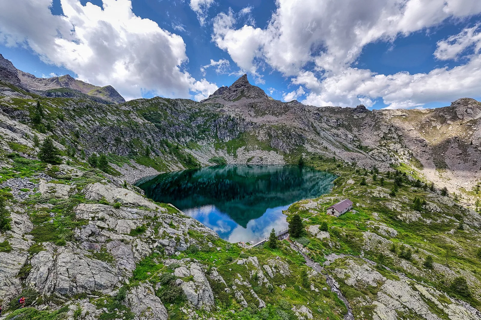
Val di Cogne
From the heart of Gran Paradiso National Park to an alpine lake surrounded by ibex. A classic.
Val d'Ayas
3.6 km · +312 m · E — from Bivio lago to Bivio lago (Ayas Valley).
Valle centrale
6.8 km · +1331 m · E — from Lazey, innesto strada sterrata to Col de la Crosatie (La Thuile).
Valtournenche
2 km · +449 m · E — from Loz (parcheggio) to Alpe Mandaz Inferiore (Central Valley).
Valle centrale
Monte Emilius massif: an EE/EEA route toward the boundary ridges between Val di Cogne and the central valley.
Valle centrale
5.7 km · +1137 m · E — from Lusey to Alpe Ponton (Valtournenche).
Valle del Lys
2.8 km · +392 m · E — from Lysbalma to Ondermonté (Champorcher Valley).
Valle di Champorcher
5 km · +865 m · EE — from Maison Blanche to Praz Premier (Lys Valley).
Valle del Gran San Bernardo
8.2 km · +580 m · E — from Mendey to La Lanche (Central Valley).
Valgrisenche
7.7 km · +299 m · E — from Menthieu, partenza poderale to Incrocio 14A-13/14 (Alpe Revéraz-Dèsot) (Valtournenche).
Valle centrale
8 km · +1466 m · E — from Miserègne to Ponton (Lys Valley).
Valle di Champorcher
9.5 km · +1766 m · E — from Monteil to Col Pousseuil (Valtournenche).
Valtournenche
3.7 km · +759 m · E — from Moulin Dessous to Cortinaz Damon (Central Valley).
Valle del Lys
2.9 km · +667 m · E — from Ondrò Verdebio to Ondrò Skearpie (Champorcher Valley).
Valle di Champorcher
5.2 km · +796 m · E — from Outre l'Eve to Alpe Chenessy (Valtournenche).
Valle di Champorcher
3.6 km · +853 m · E — from Outre l'Eve to Mont Digny (Valtournenche).

Valle di Champorcher
5.5 km · +892 m · E — from Outre l'Eve to Pian Ciampaney (Valtournenche).
Valpelline
In the Valpelline, commune of Bionaz: an E-rated climb from forest to the Comba di Vertsan pastures.
La Thuile
4.5 km · +643 m · E — from Parcheggio Area camper to Souches (Lys Valley).
La Thuile
6.3 km · +643 m · E — from Parcheggio Area camper to Souches (Lys Valley).
Valpelline
9 km · +1334 m · EE — from Perrères to Col de Valcournera (Central Valley).
Val d'Ayas
2.3 km · +307 m · E — from Capoluogo to Salomon (Ayas Valley).
Valpelline
Along Lake Place-Moulin to Rifugio Prarayer (trail 9-10), Bionaz: 4.6 km, almost flat, T. A walk for everyone.
Valgrisenche
1.3 km · +319 m · E — from Planté to Verconey damon (Valtournenche).
Valle centrale
3.4 km · +733 m · E — from Pompiod to Montcorvé dessus (Valtournenche).
Valsavarenche
1.1 km · +36 m · T — from Parcheggio Pont to Rifugio Tétras Lyre (Ayas Valley).
Val di Cogne
3.2 km · +490 m · E — from Prati di Sant'Orso - Buthier to Les Ors (Lys Valley).
Valle centrale
5.4 km · +881 m · E — from Chabodey to Promoud (La Thuile).
Valle di Champorcher
2.1 km · +331 m · EE — from Remoran to Col Terre Rousse (Valtournenche).
Val d'Ayas
2.1 km · +96 m · E — from Résy to Plan de Véraz (Central Valley).
Valgrisenche
In the Valgrisenche the route climbs through forest and meadows toward upper pastures: an E-rated itinerary in the commune of Arvier.
Valgrisenche
3.1 km · +480 m · E — from Confine comunale Arvier, Revers to Borègne (Valtournenche).

Valle del Lys
6.1 km · +1025 m · E — from Rikurt to Muni (Ayas Valley).
Valtournenche
1.8 km · +36 m · T — from LOU to Incrocio pista forestale (Central Valley).
Valle del Gran San Bernardo
5.5 km · +738 m · E — from Capoluogo to Plan Puitz (Great St Bernard Valley).
Valle del Lys
4.7 km · +880 m · E — from Sainte-Marguerite to Col de Carisey (Central Valley).

Valle del Lys
4.2 km · +802 m · EE — from Sainte-Marguerite to Col Giassit (Central Valley).
Valle del Lys
6.6 km · +837 m · E — from Sainte-Marguerite to Punta di Cressa (Central Valley).
Valle di Champorcher
3.5 km · +745 m · EE — from Strada Dondena to Cima Piana (Valtournenche).

Valle di Champorcher
0.8 km · +258 m · EE — from Strada Dondena to Col Terre Rousse (Valtournenche).
Valle di Champorcher
6.4 km · +967 m · E — from Strada Dondena to Parcheggio Dondena (Valtournenche).
Valle del Lys
2.8 km · +590 m · E — from Start S2 (strada per Tschalvrino) to Weissmatten (Champorcher Valley).
Valle del Gran San Bernardo
2.4 km · +411 m · E — from Strada Statale 27, start str militare to Plan Puitz (Central Valley).
Valle centrale
11.7 km · +1707 m · E — from Stradina Chateau de Quart to Croce di Fana (Rhêmes Valley).
Valle del Lys
15.6 km · +0 m · E — from Rifugio della Barma to Niel (Lys Valley).
Valsavarenche
17.2 km · +1676 m · EE — from Eaux Rousses to Rifugio Sella (Ayas Valley).
Valle centrale
11.9 km · +0 m · E — from Rifugio Bonatti to Capoluogo (Great St Bernard Valley).

Val d'Ayas
5.1 km · +1030 m · E — from Eresaz to Tête de Comagne (Great St Bernard Valley).
Val d'Ayas
5.1 km · +1148 m · E — from Sommarèse to Tête de Comagne (Great St Bernard Valley).
Val di Cogne
A gentle prologue across the Sant’Orso meadow.
Val Ferret
A steady climb from Courmayeur to the Rifugio Bertone balcony.
Val Ferret
The Mont de la Saxe balcony, face to face with the Grandes Jorasses.
Val Ferret
Towards the head of Val Ferret, below the Pré de Bar glacier.
Valle del Lys
From the Walser capital to Lake Gabiet.
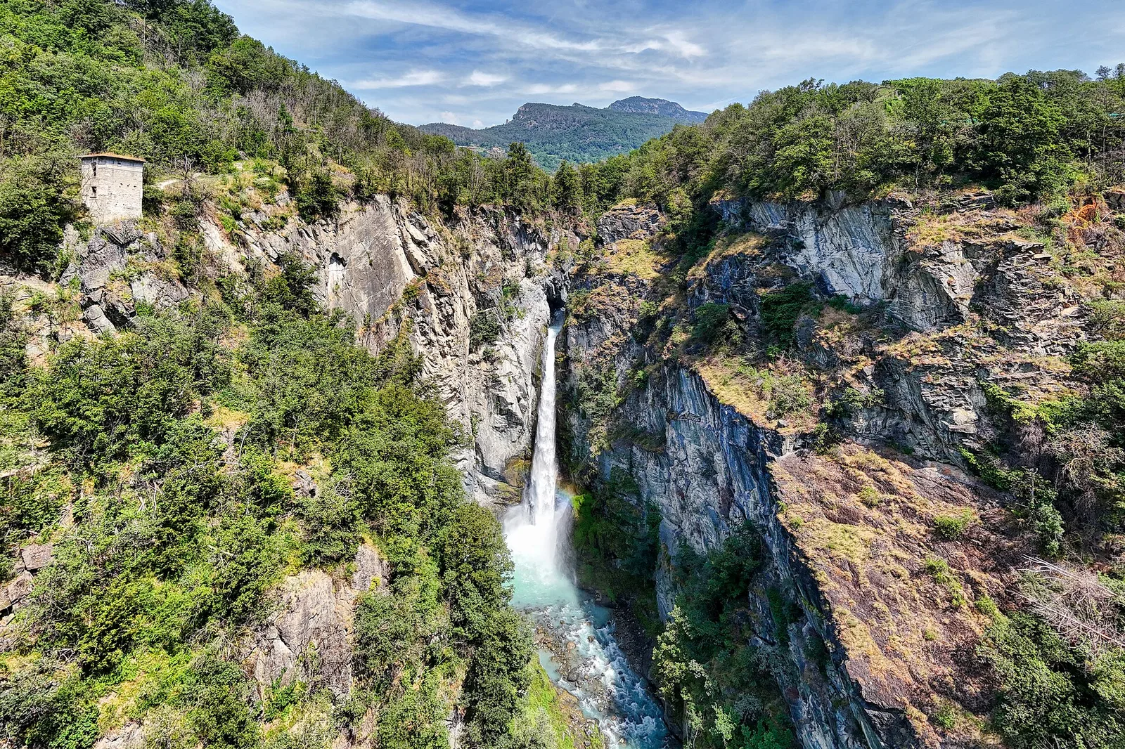
Valdigne — La Thuile
The Rutor waterfalls and the climb to the Deffeyes hut.
Valle di Champorcher
5.7 km · +1300 m · E — from Fournier to Mont Digny (Champorcher Valley).

Valle di Champorcher
5.2 km · +1722 m · E — from Varesa to Chavanna (Champorcher Valley).
Valle centrale
3.9 km · +289 m · E — from Vetan to Alpe Loe (Or) (Central Valley).
Valle centrale
10.7 km · +910 m · E — from Villair to Rifugio Bonatti (Great St Bernard Valley).
Valle centrale
3.4 km · +722 m · E — from Villair to Rifugio Bertone, tavola di orientamento (Great St Bernard Valley).
Val Veny
3.2 km · +366 m · E — from Visaille to Lago del Miage (Great St Bernard Valley).
Valle di Champorcher
2.8 km · +601 m · E — from Visey dessus to Col Terre Rousse (Central Valley).
Valle del Lys
6.5 km · +1391 m · E — from Zengji to Colle del Lupo (Ayas Valley).