Bourg - Chesod - Maen-Valtournenche - Perrères - Breuil
Advertencias
- Long route: carry sufficient water and start early.
- Check trail conditions after prolonged bad weather.
17.4 km
+913 m
−0 m
6.5 h
Nivel físico
Mapa y ruta
Traza GPX — verifica sobre el terreno antes de caminar
Descripción
Puntos clave
Salida
Bourg · 1078 m
Llegada
Maen · 1991 m
Sendero
S20
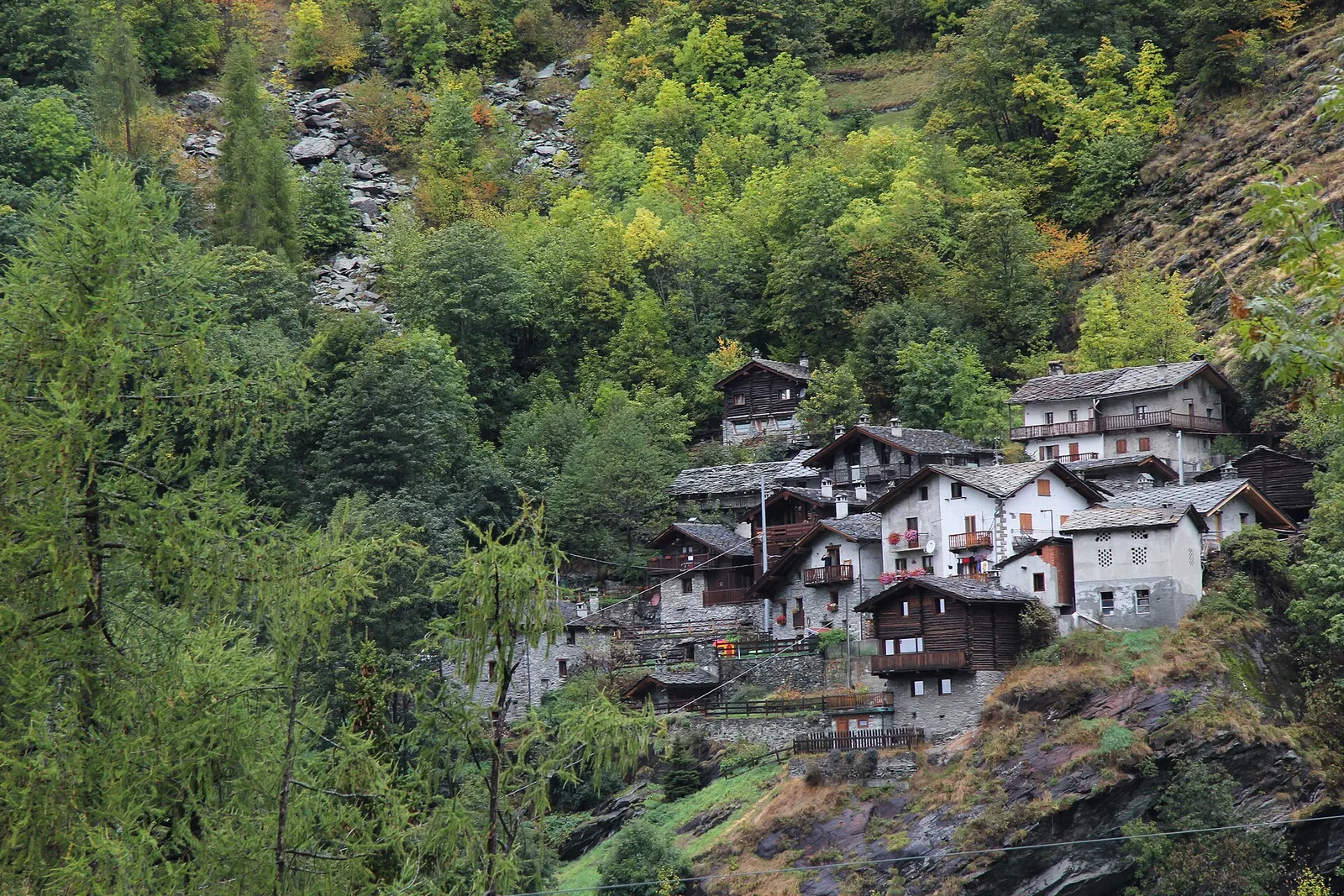
Trail 02_S20 makes a long traverse along the sun-facing slopes of the Valtournenche, linking the village of Bourg at 1,078 m with Maen at 1,991 m. The 17.4 km route climbs 913 m through the municipalities of Torgnon and Villeneuve, passing from the lower meadows and vineyards of the valley floor to the open pastures of mid-mountain, with views toward the Matterhorn massif closing the valley head. Rated E (CAI scale), it is open from April to October according to the regional trail registry — a long accessible season that reflects its moderate altitude range.
Aparcamiento
Galería de fotos
Photos are published immediately. JPG/PNG/WebP, max 6 MB.
Flora del sendero
Fauna que observar
AEditado y verificado por Andrea Rama
Fuente de datos: Catasto Sentieri Regione Autonoma VdA · Open data — DGR 899/2014
Última verificación:
Valtournenche
Senderos relacionados
Mismo valle o rutas similares — más excursiones por descubrir.

Valtournenche
Anello Area sportiva-Fiernaz-Area sportiva
2.9 km · +28 m · T — from Area sportiva to Area sportiva (Valtournenche).

Valtournenche
Anello dei Villaggi di Antey ( Ruvère, Liesse,Fontaney, Villettaz)
A loop through the sunlit hamlets of Antey and Torgnon: traditional Aosta Valley architecture, vineyards and mid-mountain forest, 5.2 km from Ruvère.

Valtournenche
Anello di Champlève
1.9 km · +140 m · E — from Champlève to Champlève (Central Valley).

Valtournenche
Area Pic Nic Champlong - Becca d'Aver e Cima Longhede
6.4 km · +913 m · E — from Area Pic Nic Champlong to Cima Longhede (Valsavarenche).