E
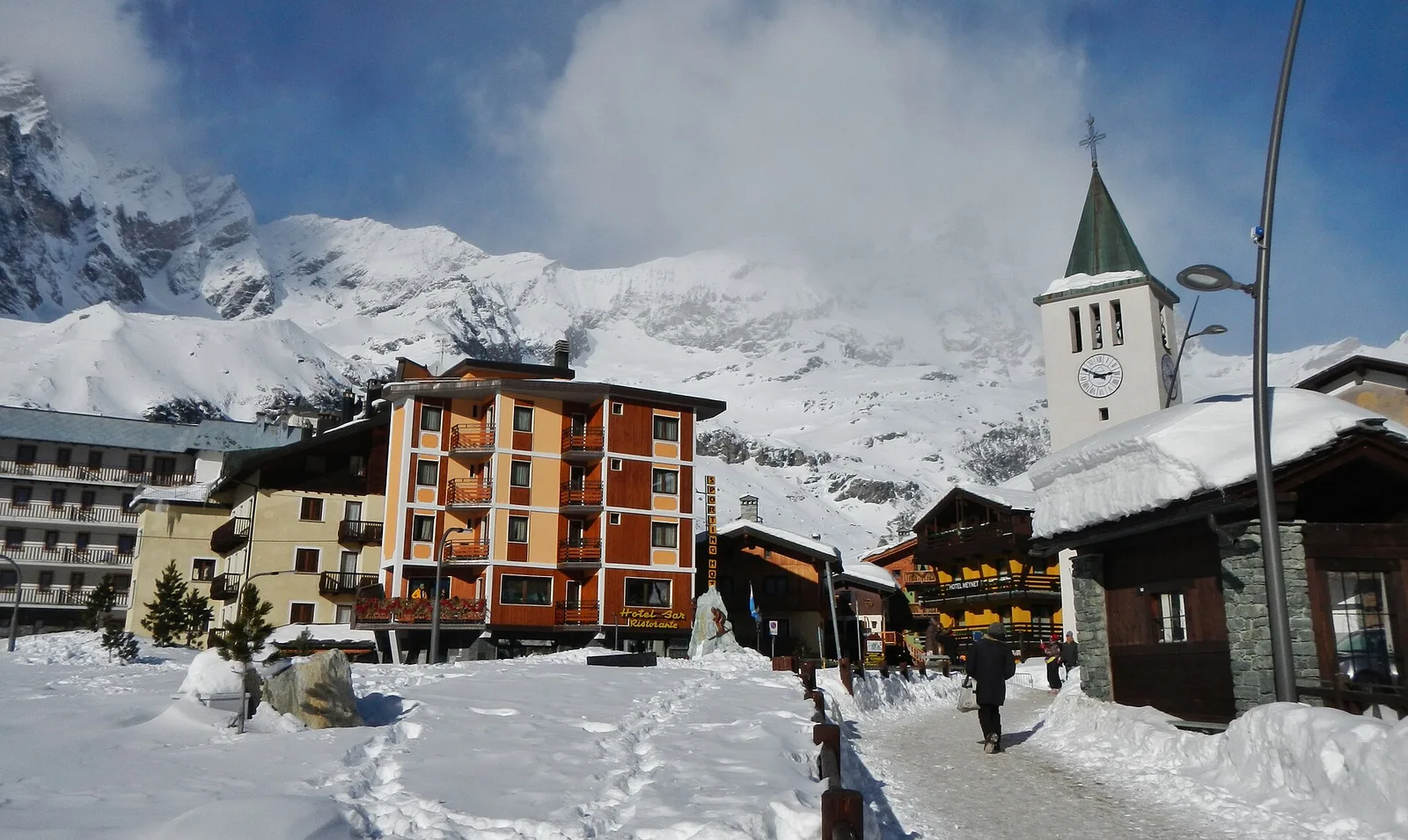
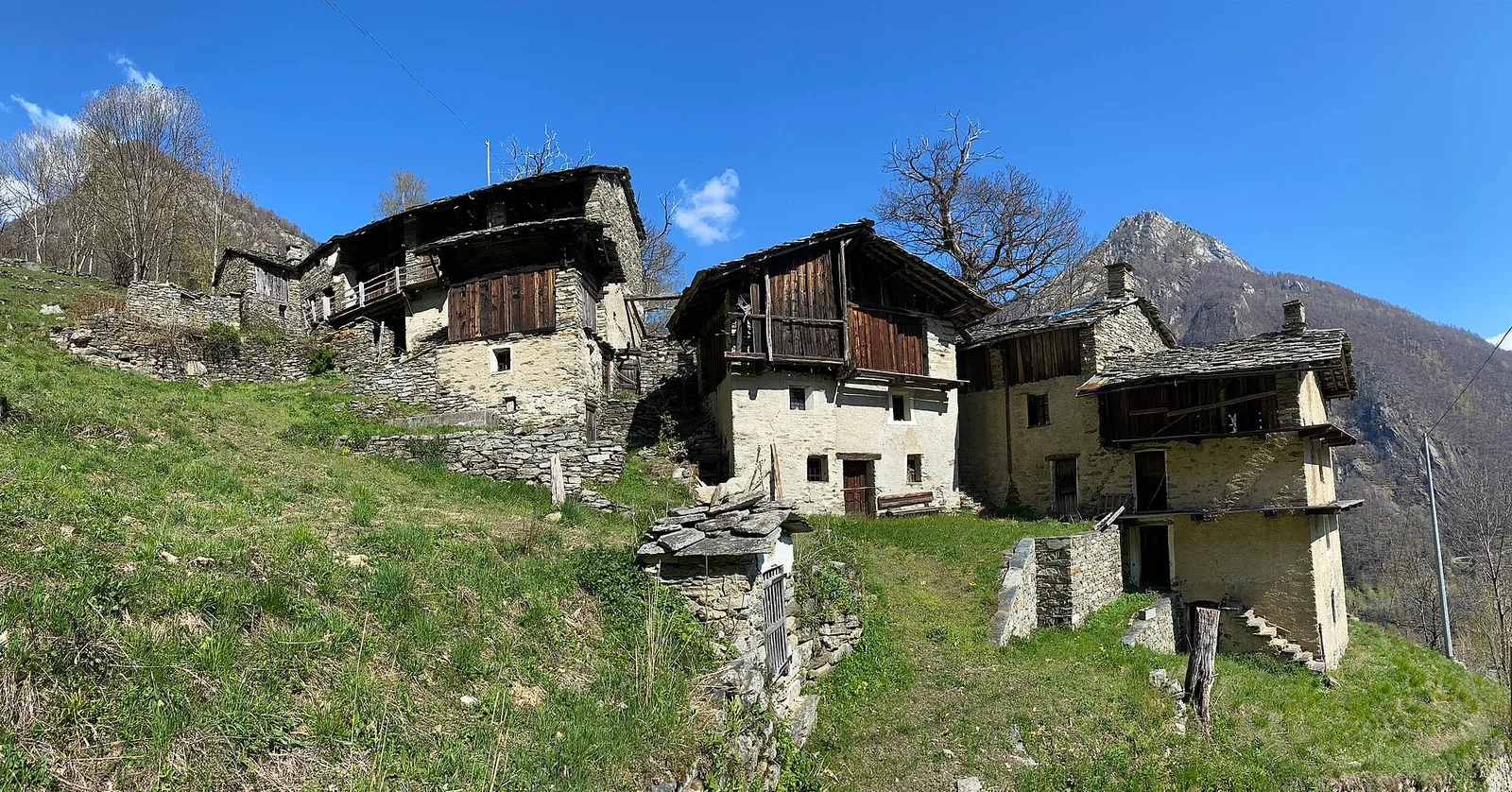
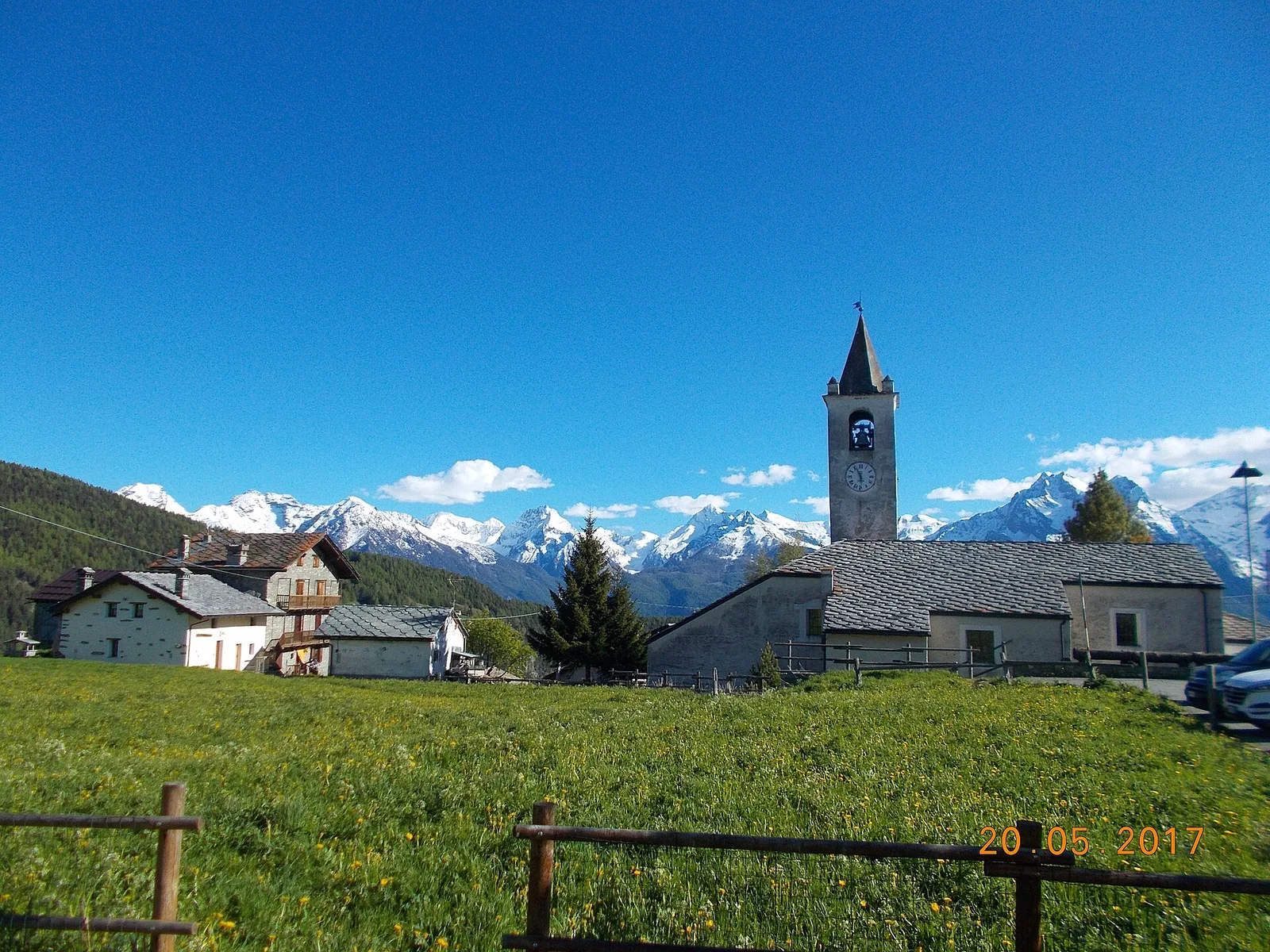
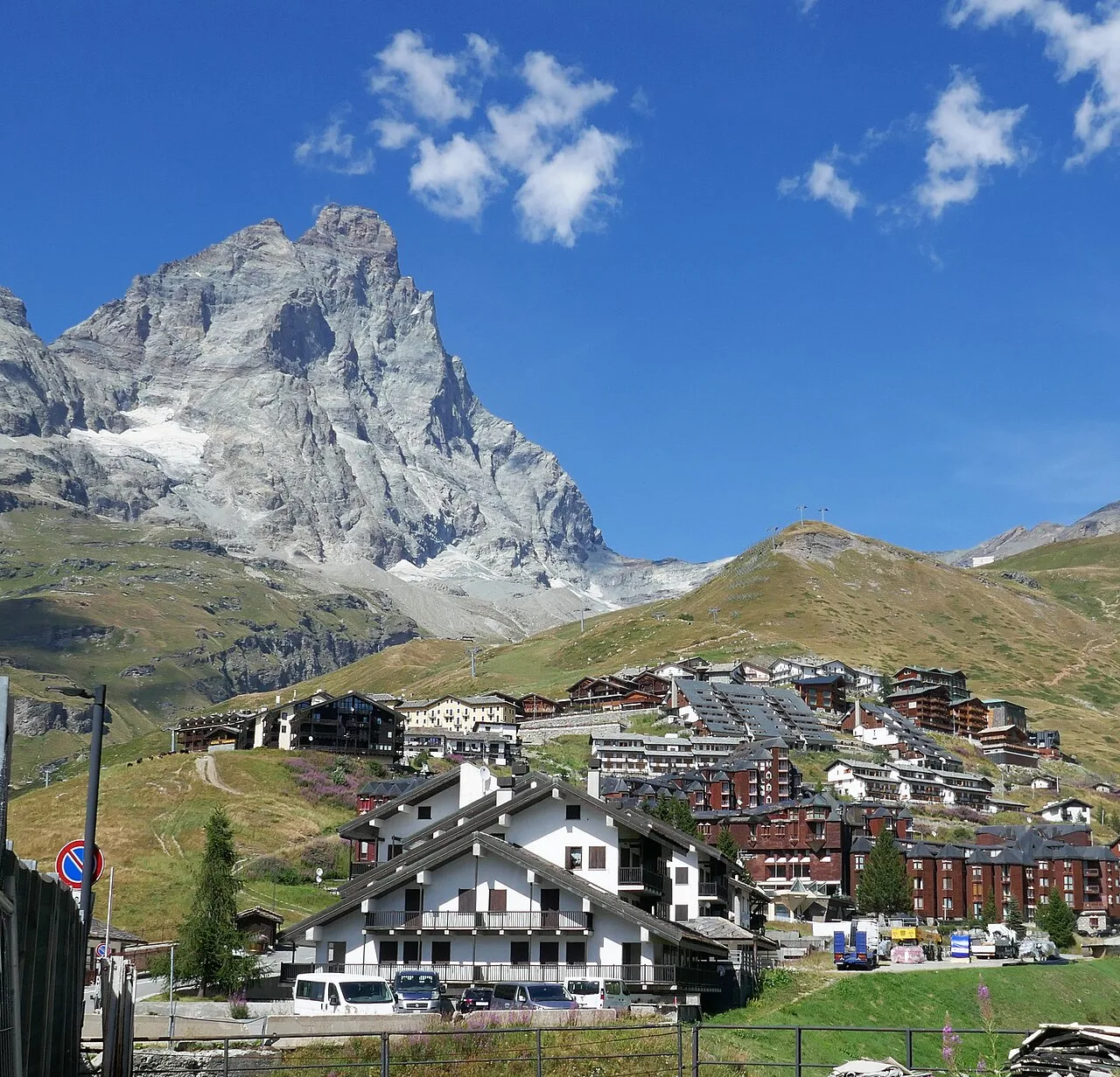
Val d'Ayas
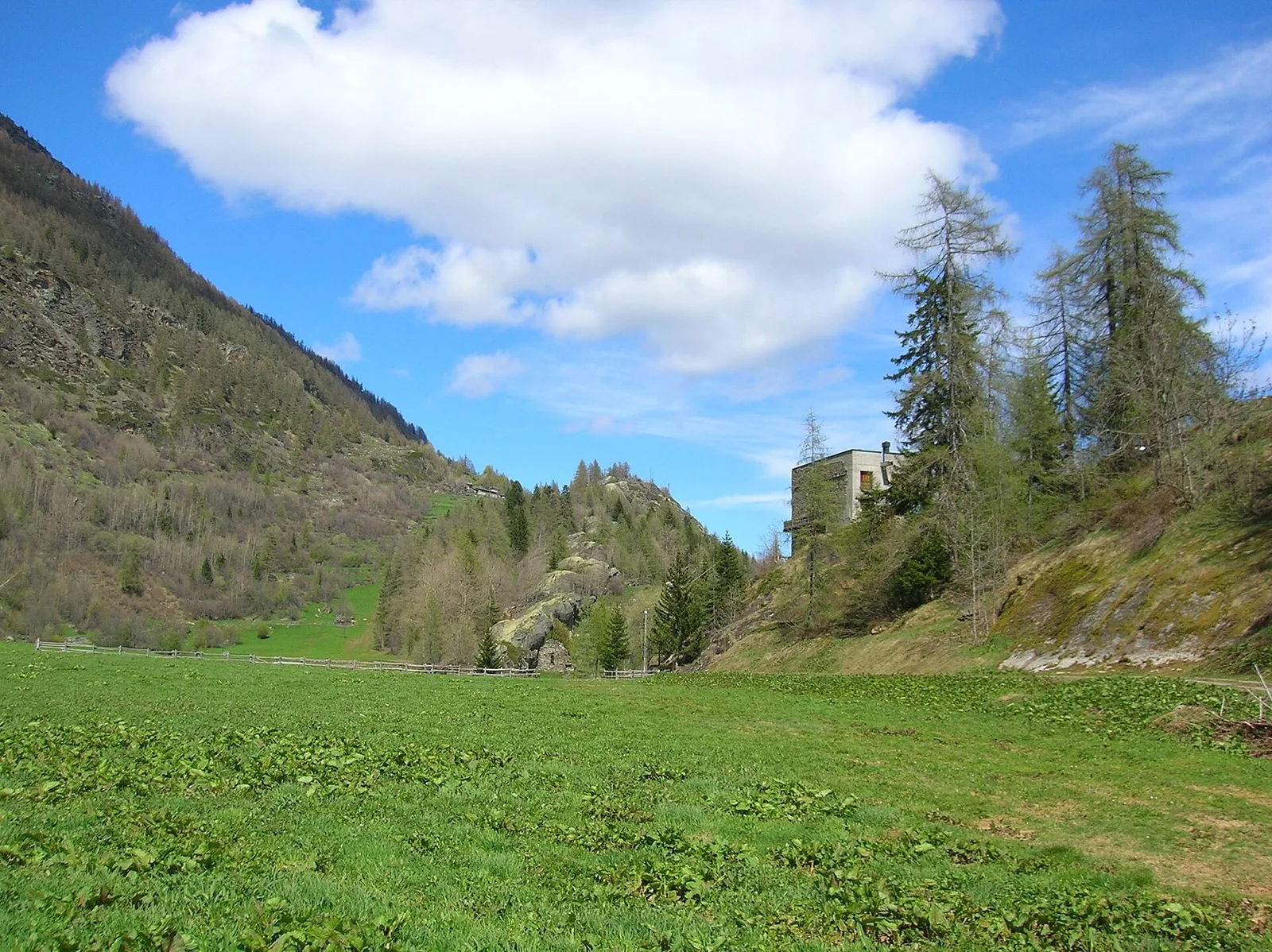
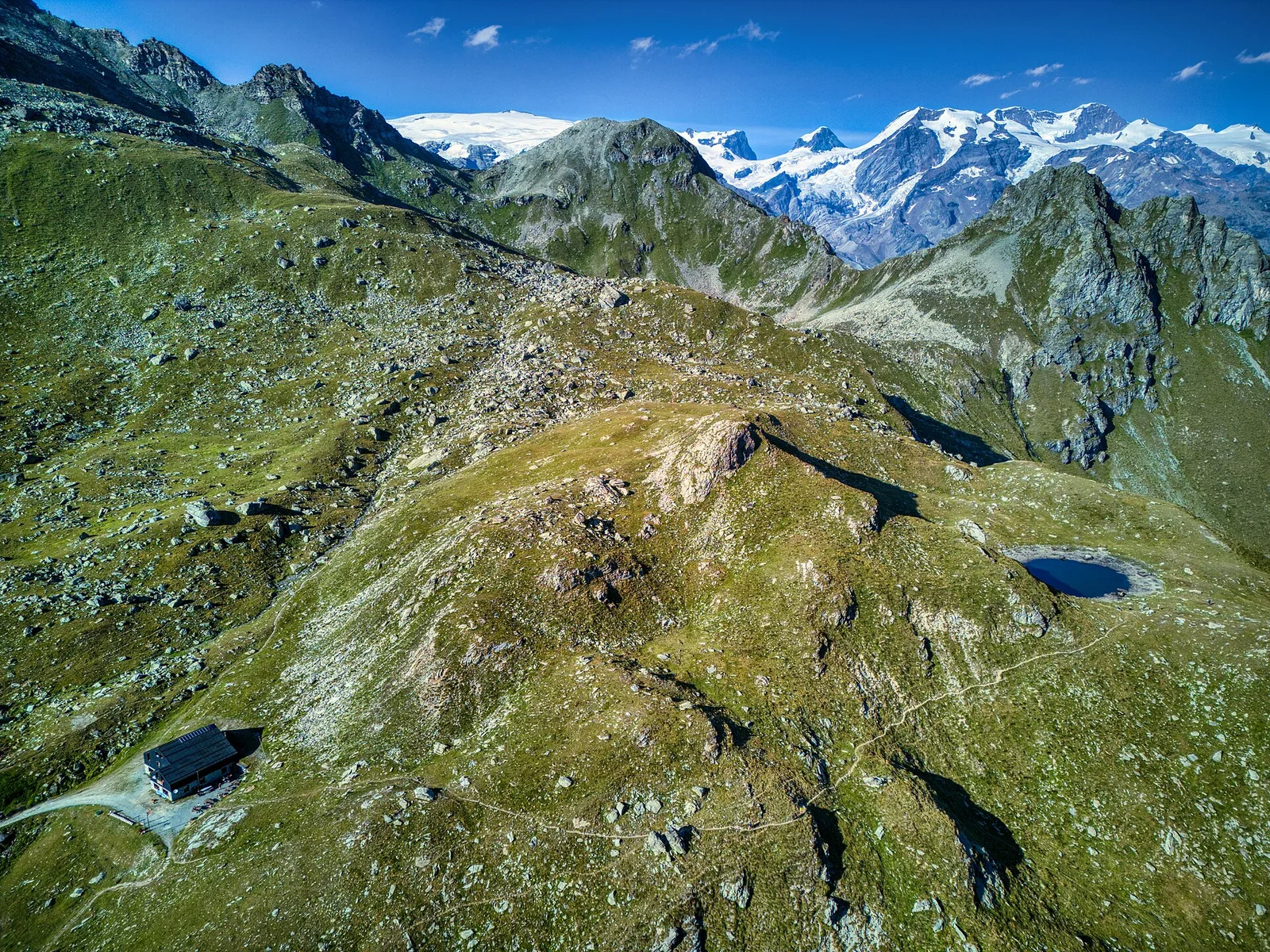
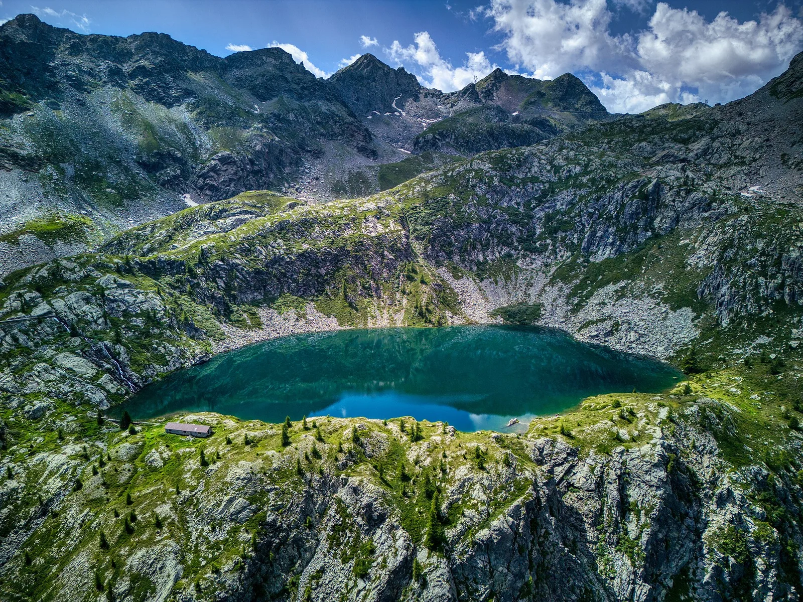
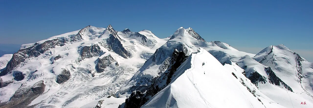
Anello di Tzère
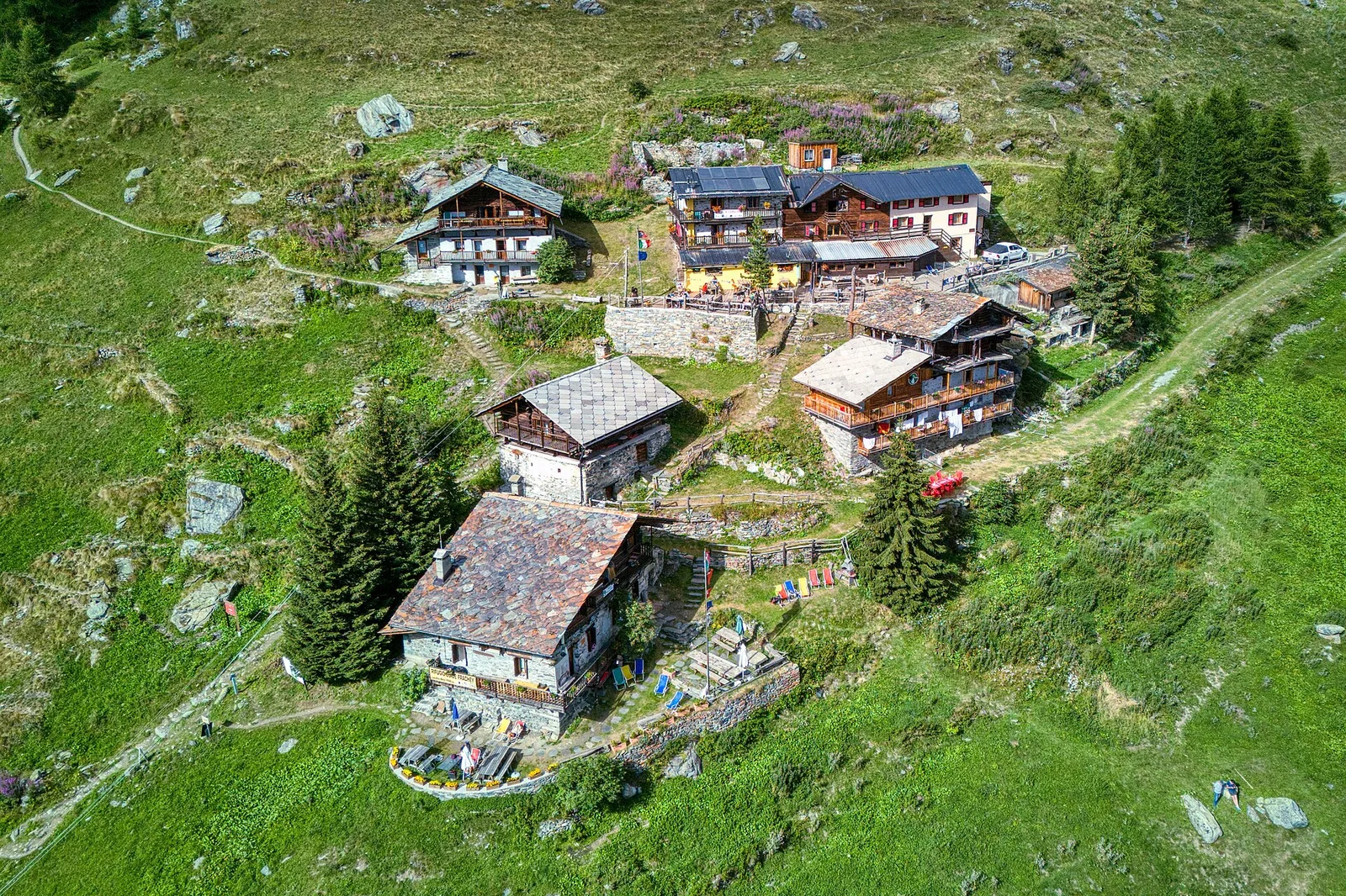
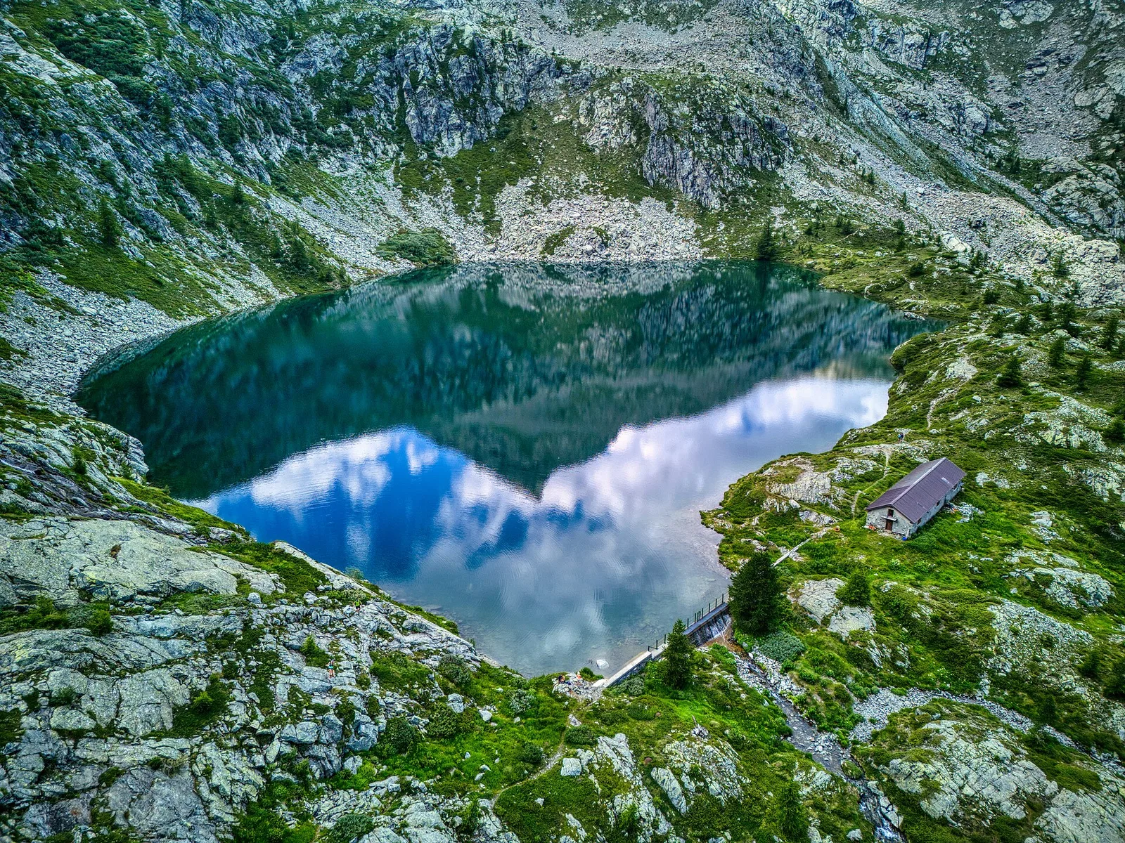
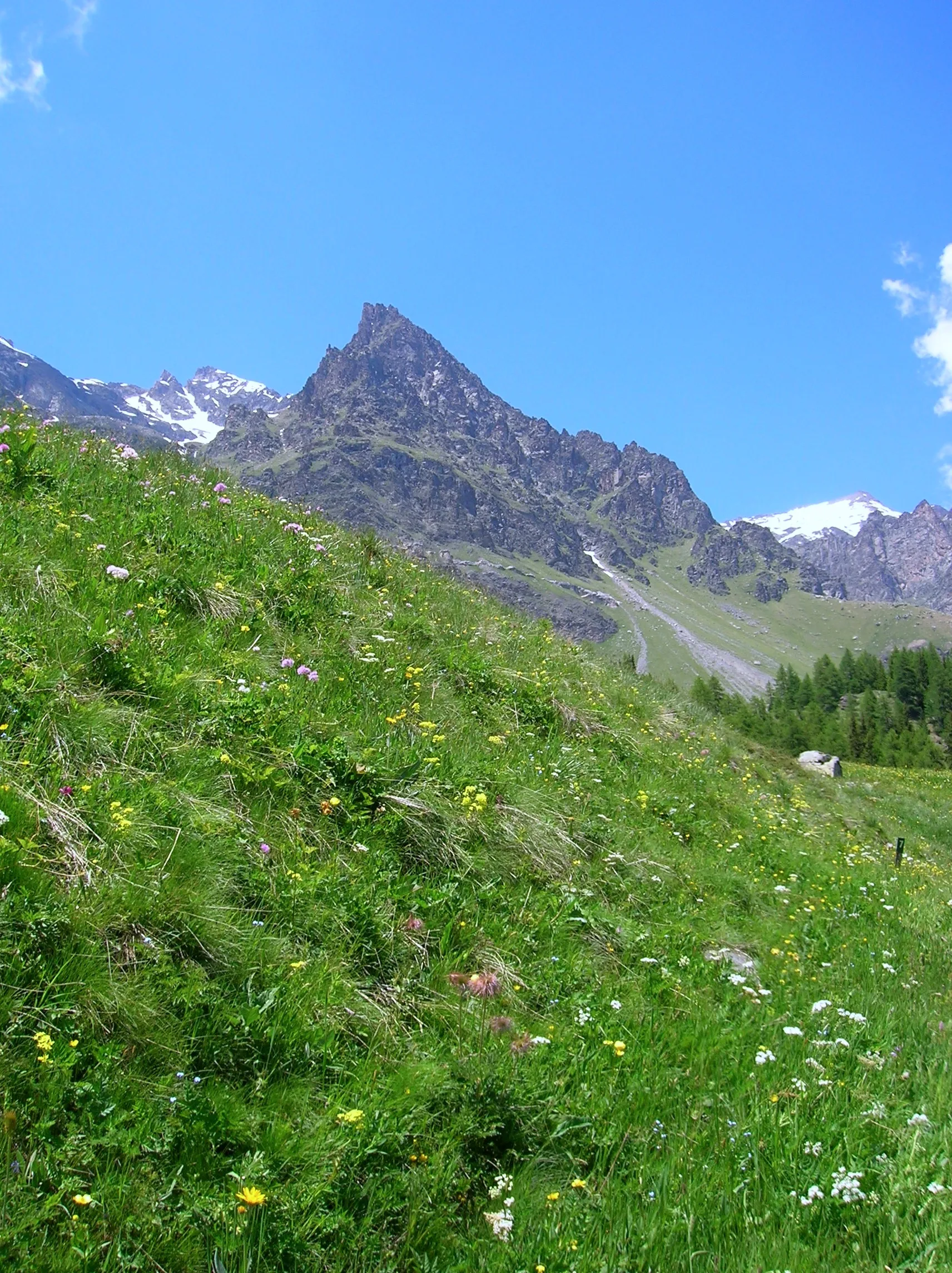
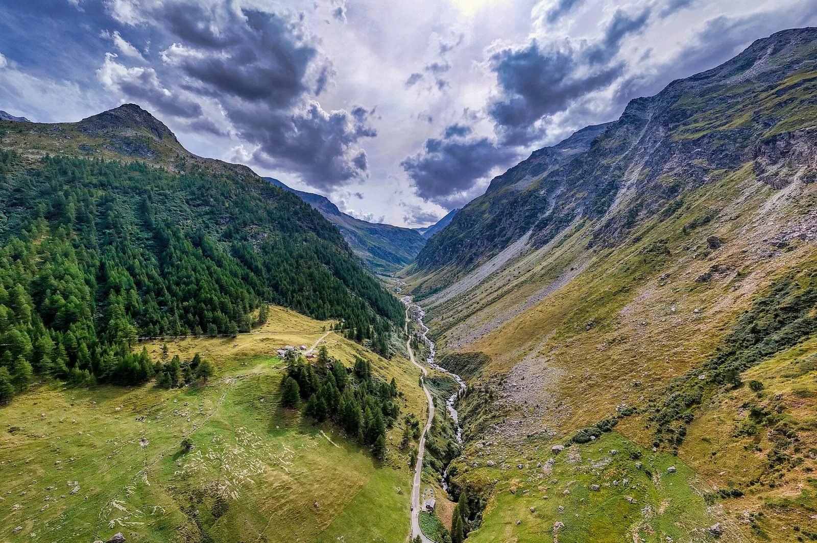
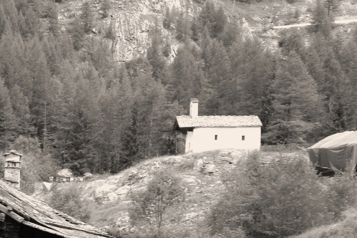
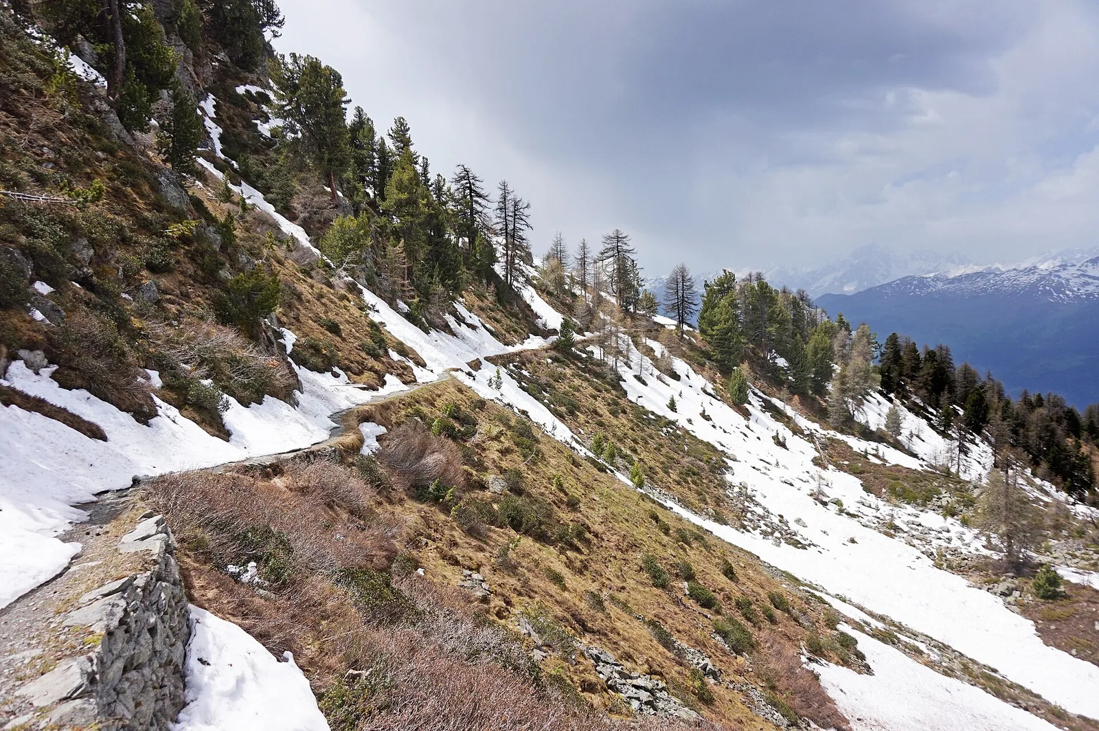
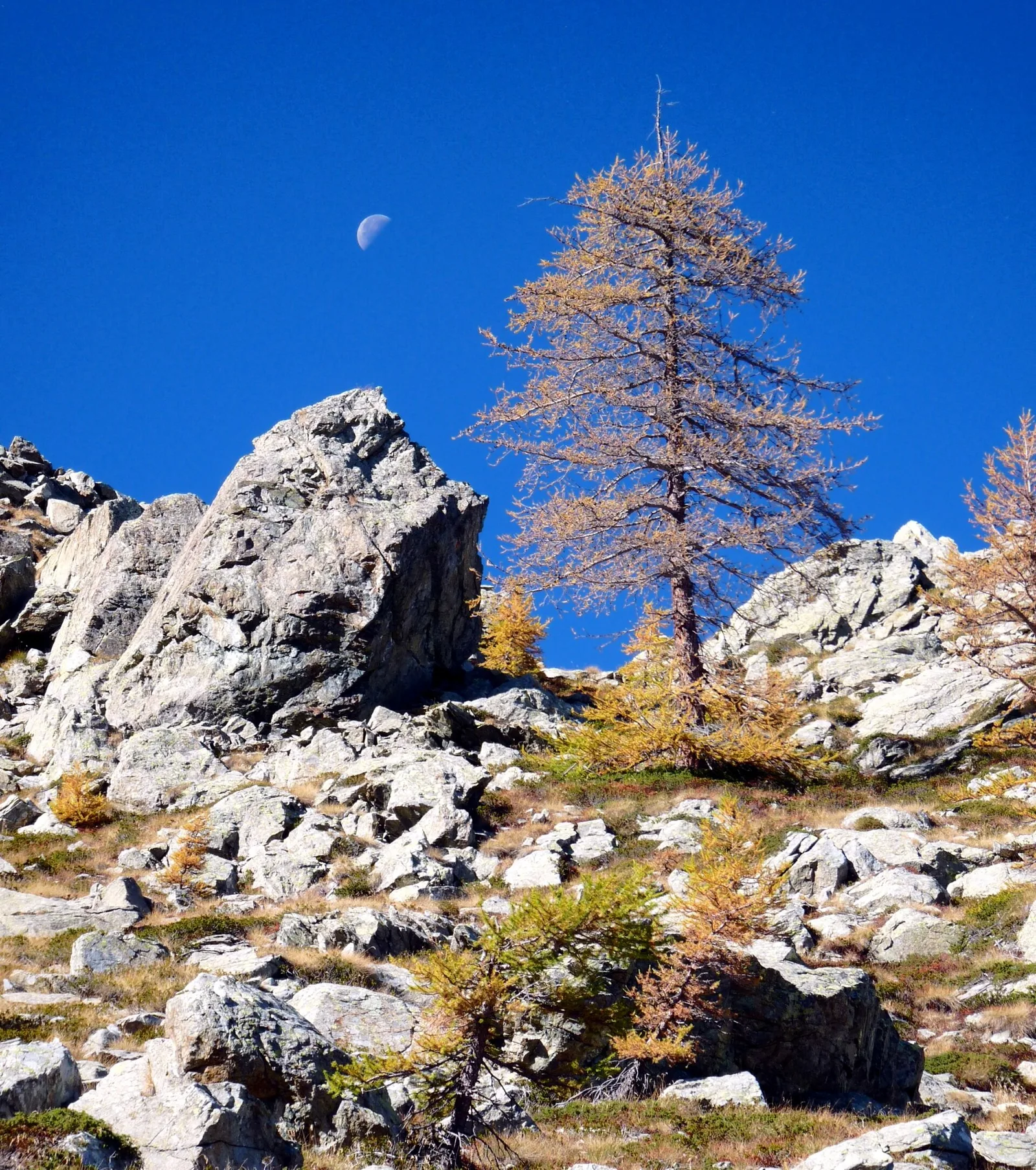
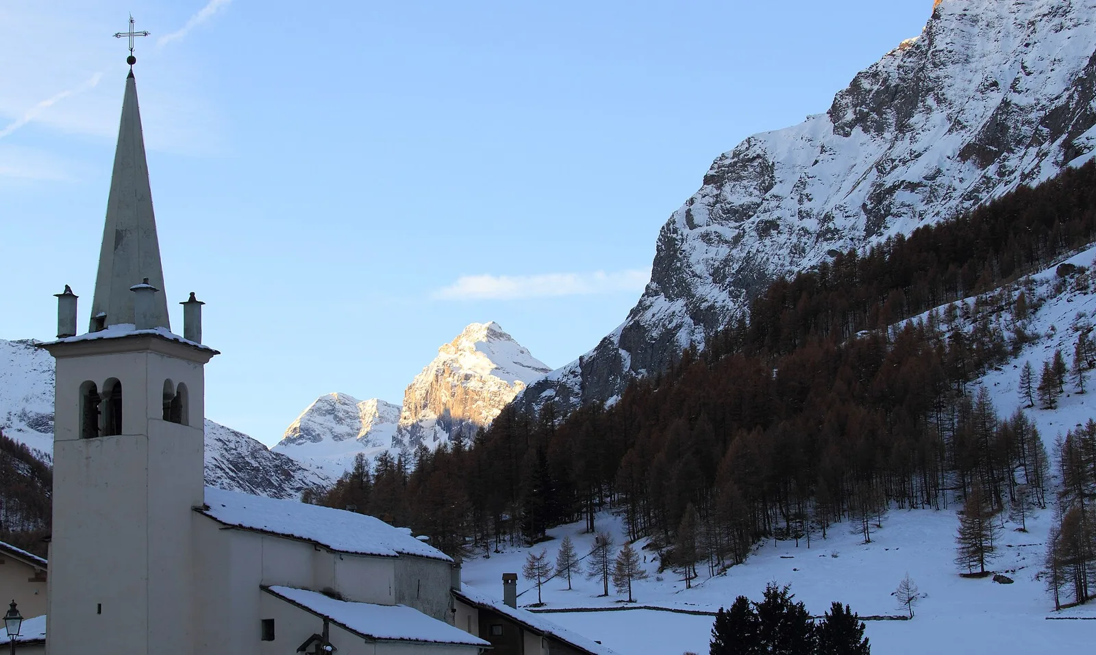
Commune of Ayas: an EE climb toward the high ground of the Vallone delle Cime Bianche.
6.2 km+956 m4 h
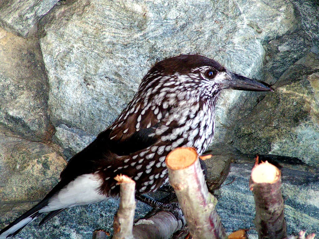
Where to spot
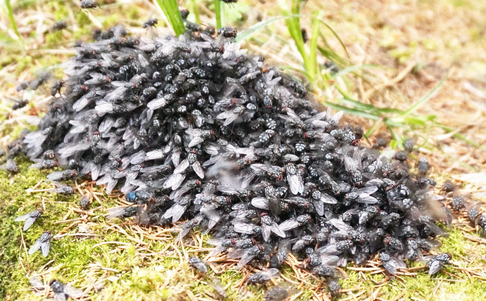
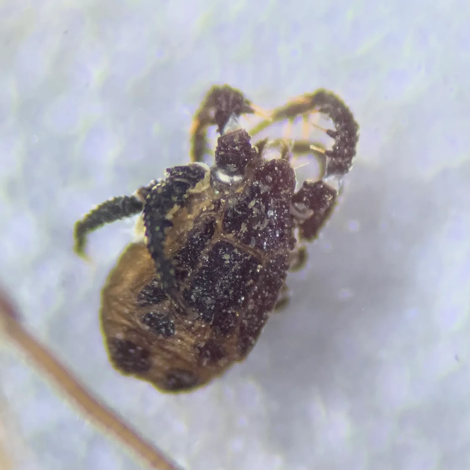
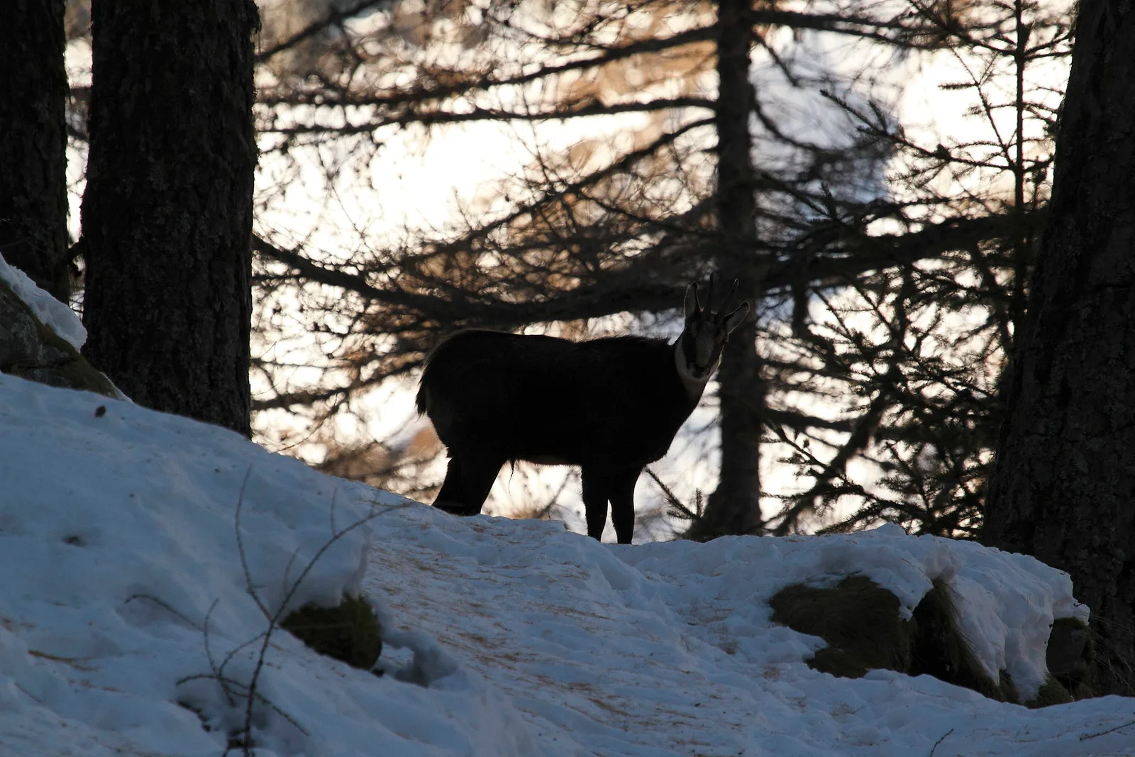
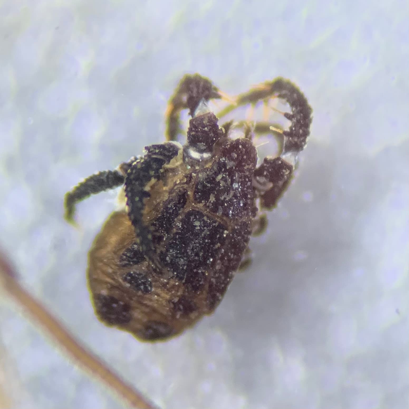
92 trails where Common raven is listed in flora/fauna: difficulty T–EE, elevation gain 0–1484 m.
92 · 0.7–17.4 km · +0–1484 m
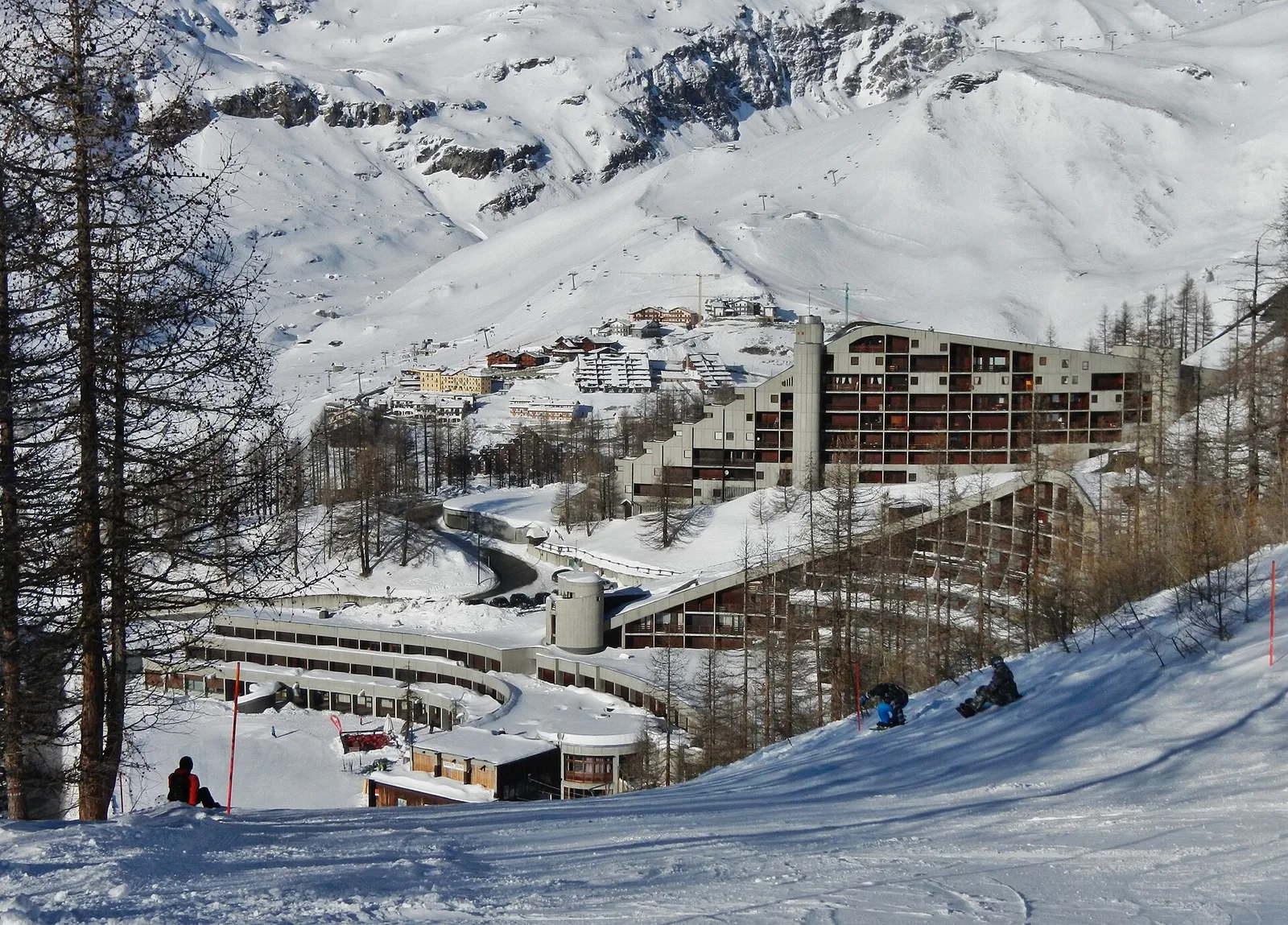
Val d'Ayas
Commune of Ayas: an EE climb toward the high ground of the Vallone delle Cime Bianche.
Val d'Ayas
1.6 km · +137 m · E — from Arbaz to Miniera di Bechaz (Ayas Valley).
Valtournenche
2 km · +107 m · E — from area pic-nic to Falegnon (Central Valley).
Val Veny
3.6 km · +420 m · E — from Area pic-nic Plan Veny to Lac du Breuillat (Great St Bernard Valley).
Valle centrale
3.1 km · +0 m · E — from Arpisson to Ponteille (Lys Valley).

Valpelline
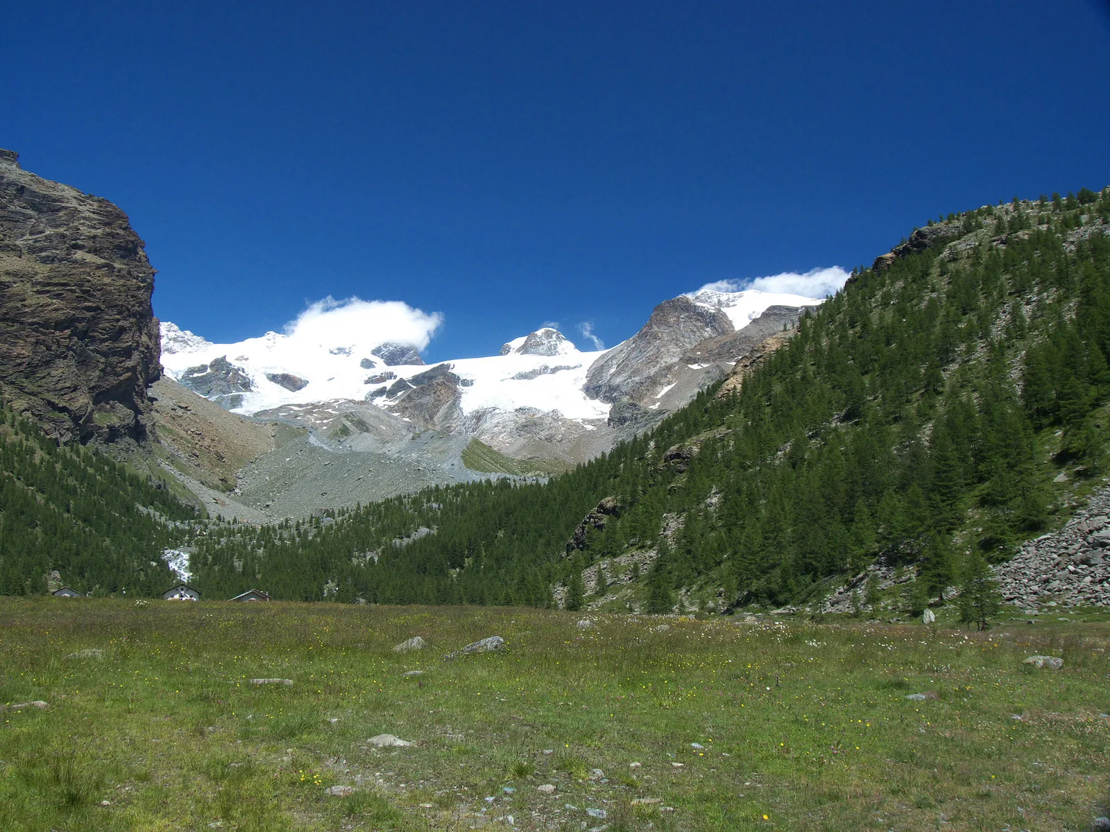
Upper Valpelline, Bionaz: an E-rated route toward a glacial objective over open terrain.
Valle centrale
5.4 km · +1376 m · E — from Blavy to Becca di Viou (Valtournenche).
Valtournenche
A long traverse through Valtournenche from the vineyards of Bourg (1,078 m) to the pastures of Maen (1,991 m), with views toward the Matterhorn.
Valtournenche
2.8 km · +315 m · E — from Brengon (Cimitero de La Magdeleine) to Pilaz (Valdigne).
Valtournenche
1.8 km · +21 m · T — from N.D. to N.D. (Central Valley).
Valtournenche
2.6 km · +21 m · E — from N.D. to N.D. (Central Valley).
Valle del Gran San Bernardo
2.8 km · +516 m · E — from Buthier to Alpe e Rifugio Chaligne (Central Valley).
Valle del Gran San Bernardo
2.8 km · +516 m · E — from Buthier to Alpe e Rifugio Chaligne (Central Valley).

Valle di Champorcher
3.8 km · +903 m · E — from Castagnot to Colle d'Arcomy (Central Valley).
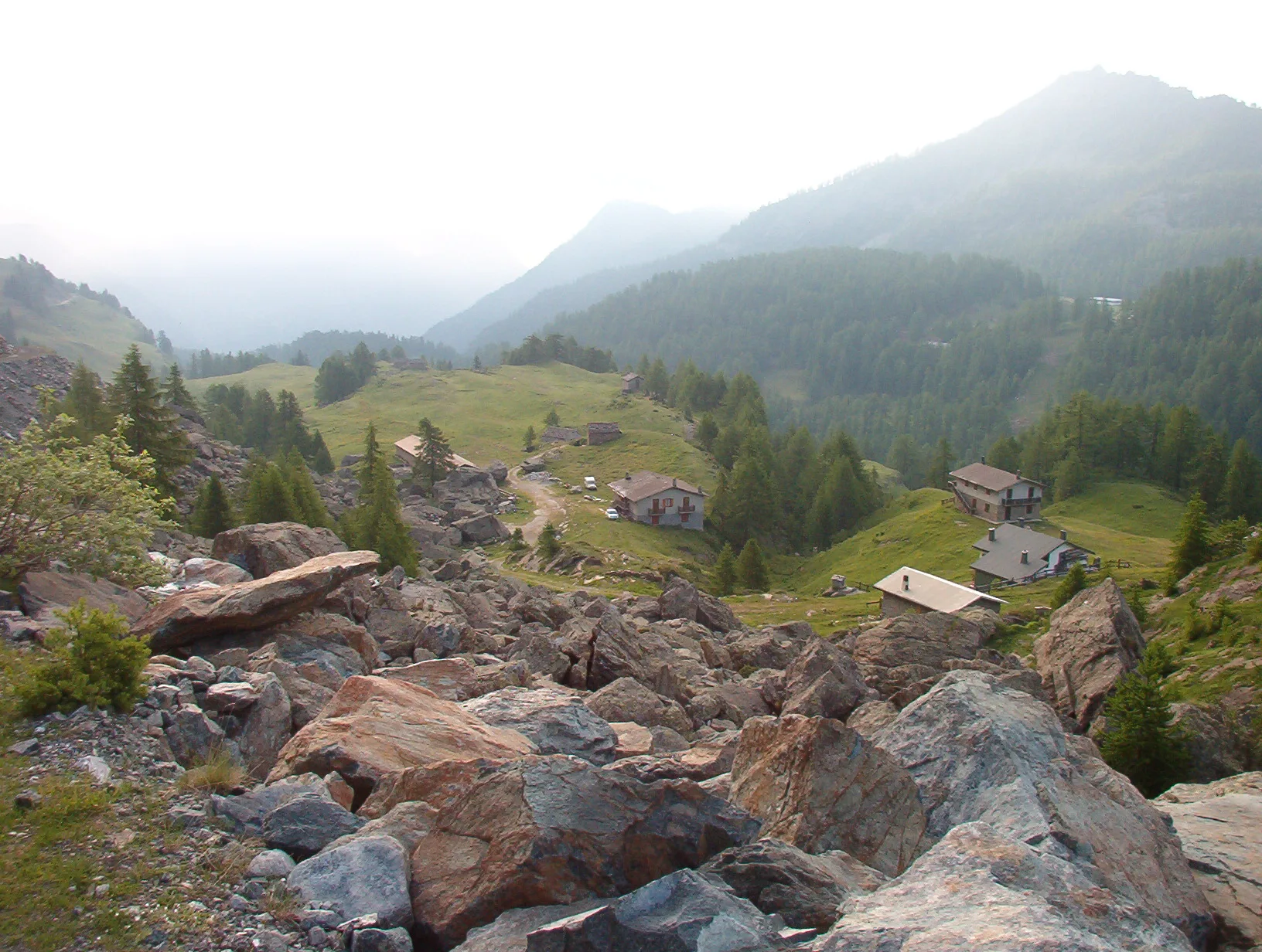
Valgrisenche
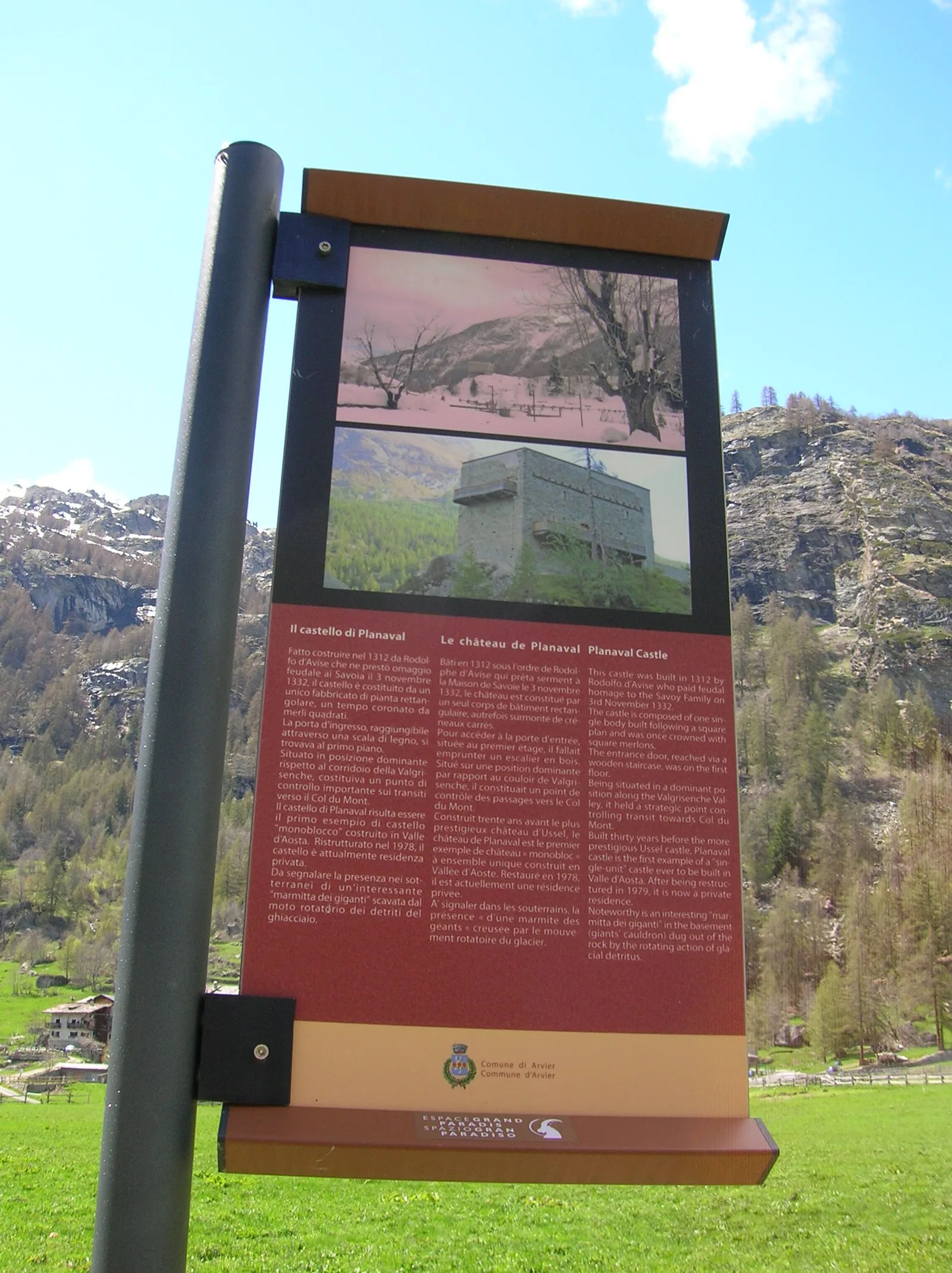
In the Valgrisenche, commune of Arvier: an E-rated climb through forest and meadows toward a high-altitude pasture.
Valtournenche
3.1 km · +220 m · E — from Chamois to Col Pilaz (Central Valley).
Valtournenche
0.7 km · +72 m · E — from Champtorné to Gortz� (Valpelline).

Valtournenche
4.6 km · +391 m · E — from Champtorné to Collet (Valpelline).
Valle di Champorcher
2.7 km · +567 m · E — from Chardonney to Bec de Monpey (Valtournenche).
Valle di Champorcher
4.4 km · +507 m · E — from Chardonney to Champlong (Valtournenche).
Valle centrale
7 km · +1299 m · E — from Chenaux to Arpisson (Lys Valley).

Valle centrale
6.7 km · +1328 m · E — from Chenière to Arpisson (Lys Valley).
Valle centrale
6.8 km · +1427 m · E — from Cloutraz to Mont Barbeston (Valdigne).
Valle centrale
1.2 km · +71 m · T — from Col Saint-Charles to Tête d'Arpy (Central Valley).
Valle centrale
3.7 km · +418 m · E — from Combelin to Alpe Loe (Or) (Central Valley).
Valtournenche
1.5 km · +286 m · E — from Parcheggio ovovia ( Crepin) to Liortère (Central Valley).
Val d'Ayas
2.1 km · +0 m · E — from Crest to Mascognaz (Central Valley).
Valtournenche
3.6 km · +586 m · EE — from Illiaz Perron to Colle Roisetta (Central Valley).

Valle di Champorcher
4.8 km · +708 m · E — from Fournier to Mandaz (Champorcher Valley).

Valle del Gran San Bernardo
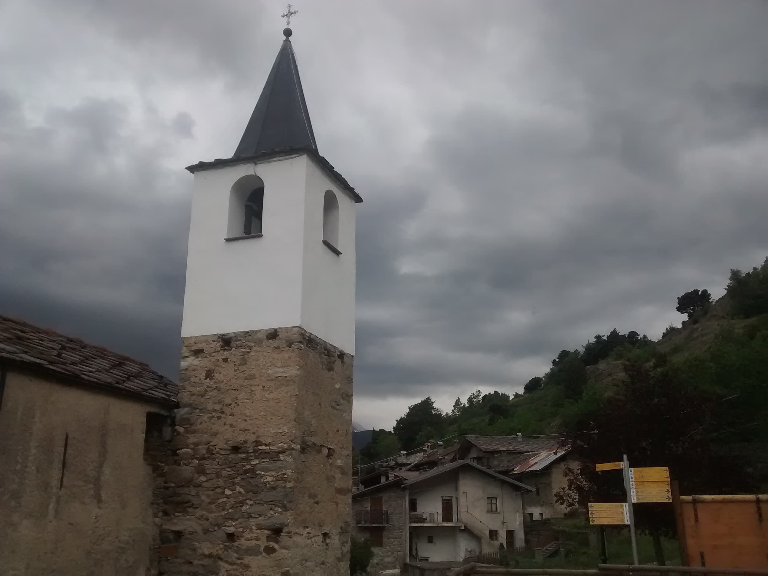
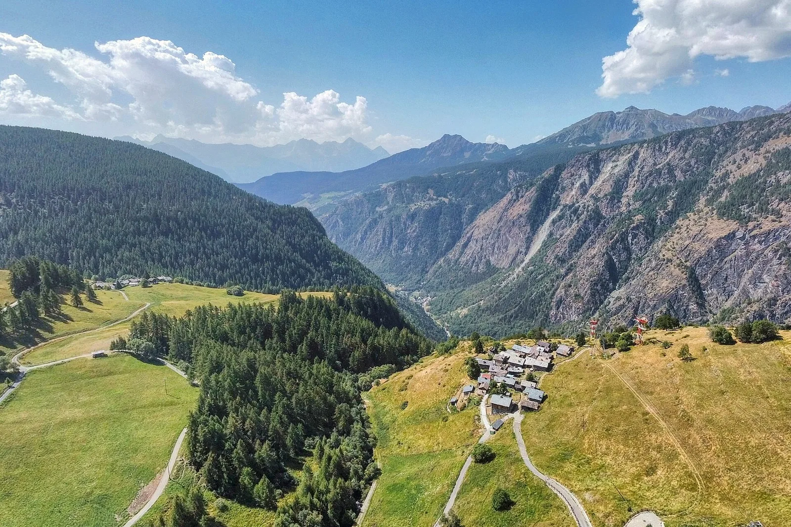
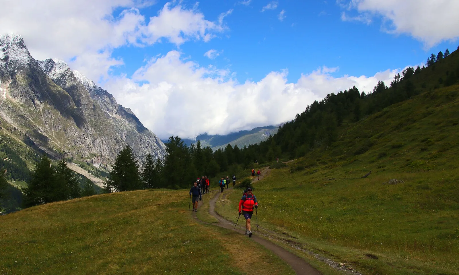
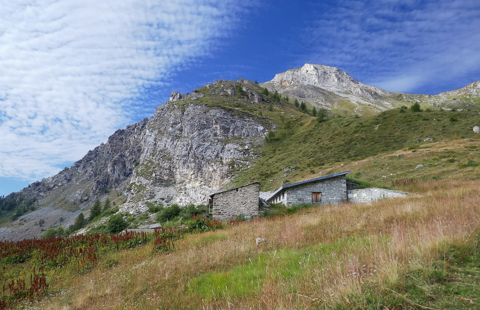
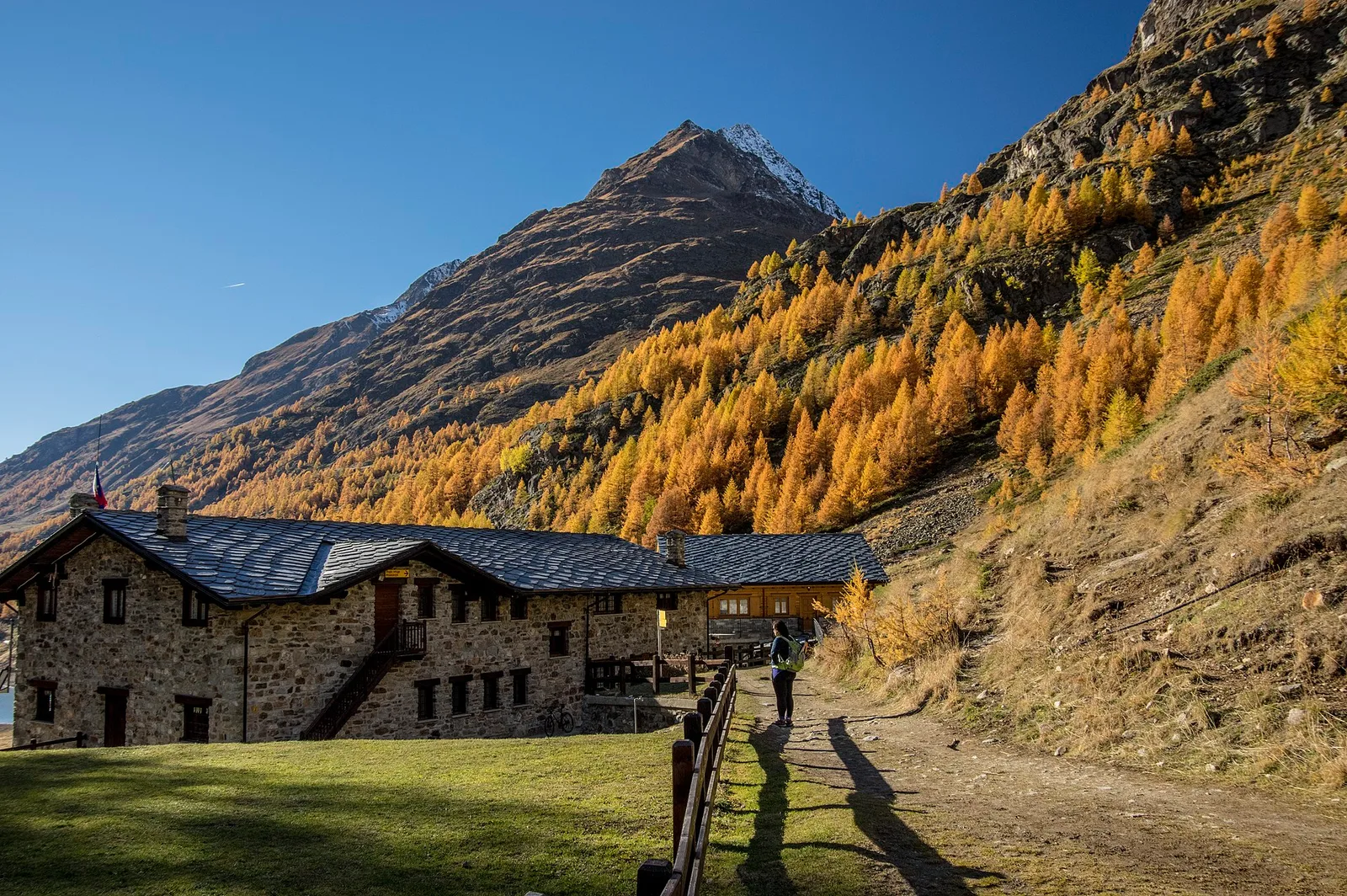
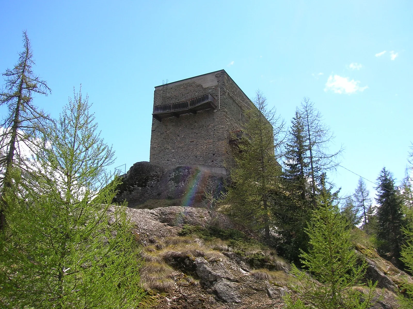
From Ville di Allein, an honest climb through pastures and larch woods to the Dortoir Baravex refuge at 1938 m, in the Great St Bernard valley.
Valle di Champorcher
2.9 km · +832 m · EE — from Dublanc to Tete du Mont (Valtournenche).
Valle di Champorcher
2.9 km · +832 m · EE — from Dublanc to Tete du Mont (Champorcher Valley).
Valsavarenche
5.2 km · +966 m · E — from Fenille to Colle Becca Plana (Ayas Valley).
Bassa Valle
4.5 km · +938 m · E — from Fey to Croix Corma (Central Valley).
Valle centrale
9.7 km · +1194 m · E — from Fonteil to Col de Saint-Barthélem (Rhêmes Valley).
Val d'Ayas
1.5 km · +370 m · E — from Frachey to Varda (Central Valley).
Val di Cogne
3.1 km · +95 m · E — from Gimillan to Tsavanis (Lys Valley).
Valle di Champorcher
2.7 km · +540 m · EE — from Gontier to Col d'Arcomy (Valtournenche).
Valgrisenche
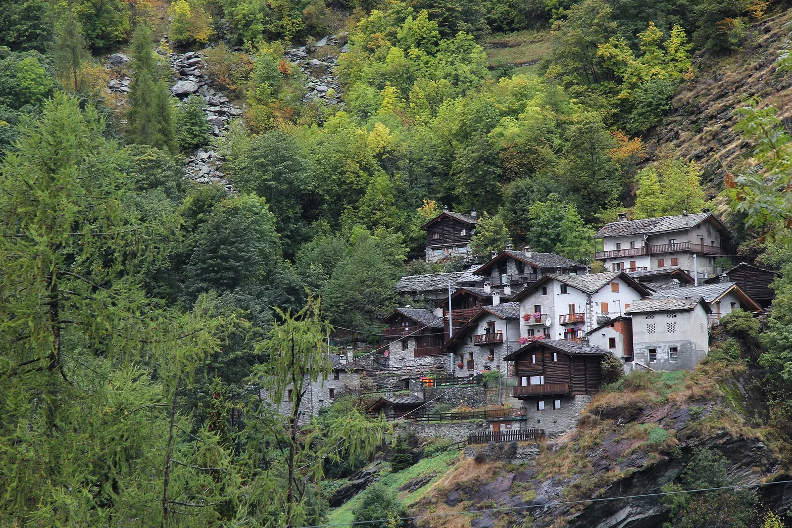
From Grand Haury the route climbs through forest and alpine meadow to the Alpe di Boregne pasture plateau at the foot of Becca Verconey in a quiet Valgrisenche side valley.
Valle di Champorcher
1.8 km · +425 m · EE — from Grand Rosier to Tete du Mont (Valtournenche).
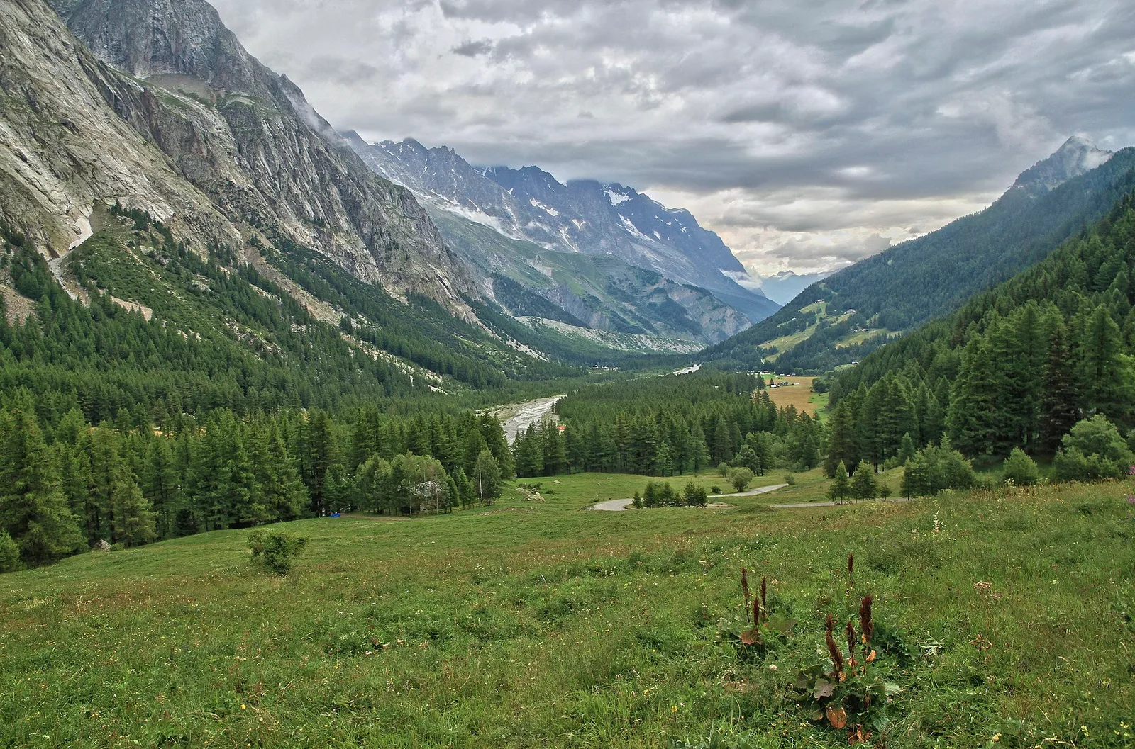
Val Ferret
5.5 km · +1202 m · E — from Hermitage to Col Licony (Great St Bernard Valley).
Valle centrale
7.4 km · +1321 m · E — from Hermitage to Verrand (Great St Bernard Valley).
Valle del Gran San Bernardo
12.3 km · +890 m · E — from La Cheriettes to Alpe Ars (Central Valley).
Valle centrale
3.3 km · +580 m · E — from Lac du Joux to Col du Mont.Joux (Central Valley).
Valle del Lys
2.1 km · +538 m · E — from Lago Gover to Alpe Jatza (Champorcher Valley).
Valle centrale
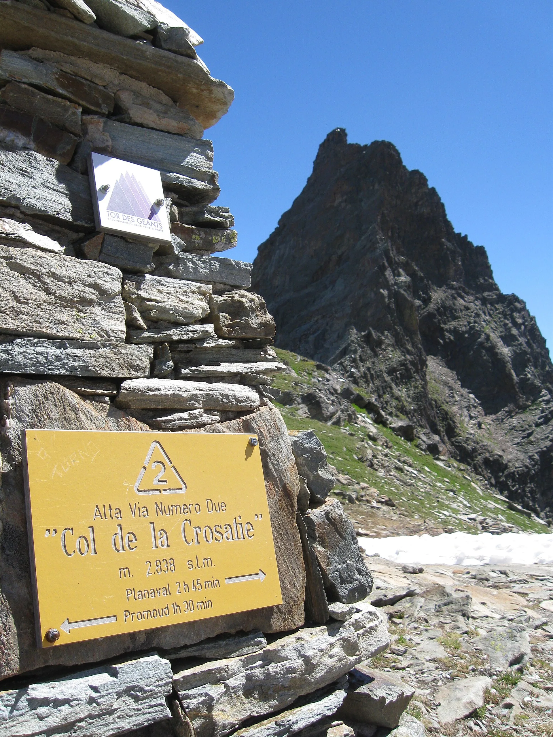
6.8 km · +1331 m · E — from Lazey, innesto strada sterrata to Col de la Crosatie (La Thuile).
Valle centrale
7.7 km · +287 m · E — from Lignan to Champlaisant (Valpelline).
Val d'Ayas
1.6 km · +294 m · E — from Lignod to Incrocio Ru (Central Valley).

Bassa Valle
6.2 km · +1327 m · E — from Lo Pian to Lac de Panaz (Central Valley).
Valle centrale
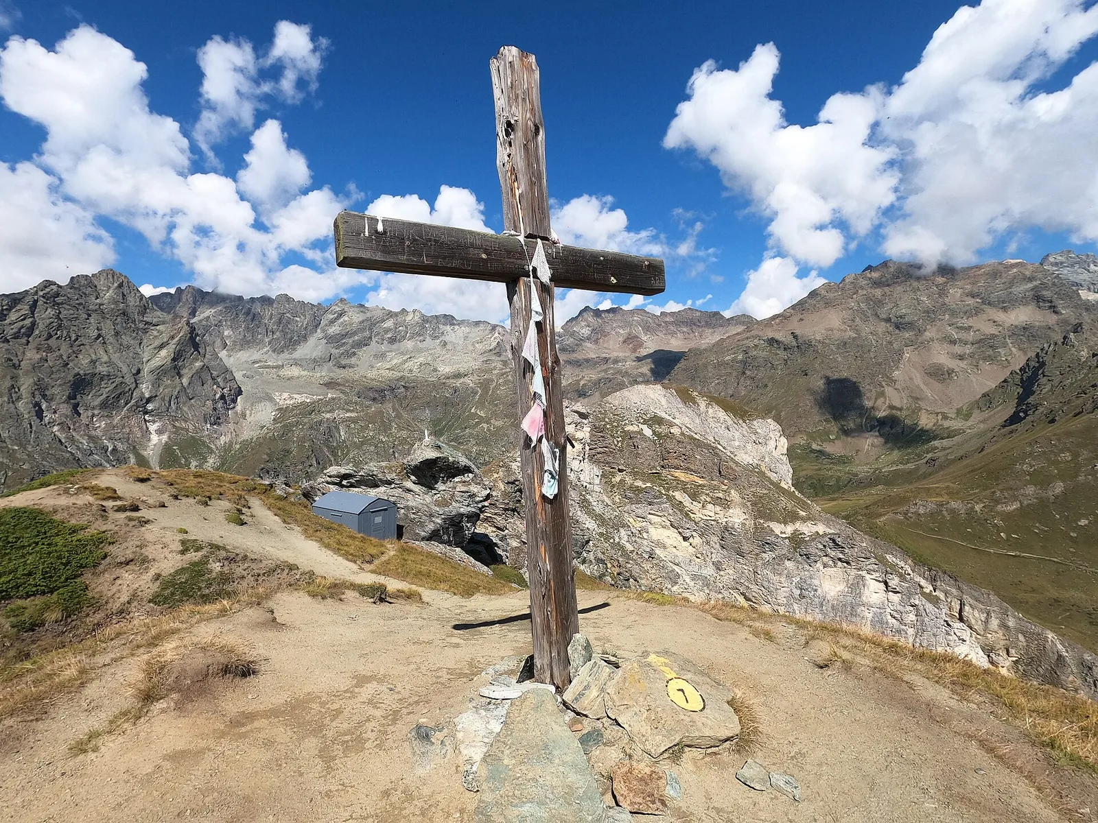
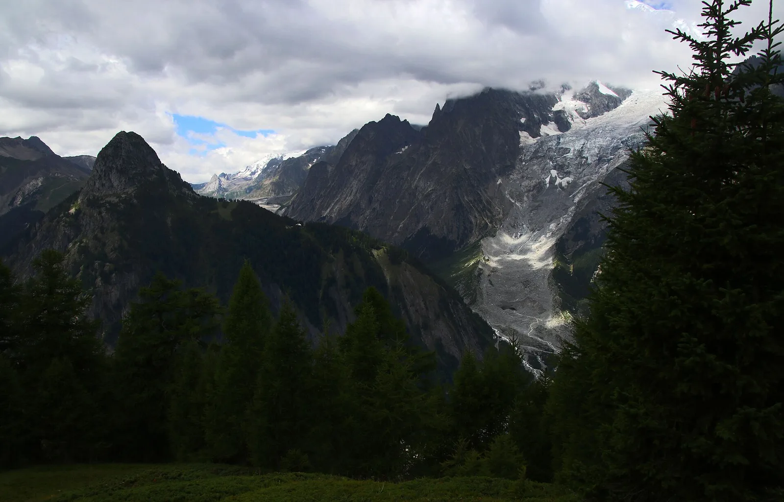
Monte Emilius massif: an EE/EEA route toward the boundary ridges between Val di Cogne and the central valley.
Valle del Lys
2.8 km · +392 m · E — from Lysbalma to Ondermonté (Champorcher Valley).
Valgrisenche
7.7 km · +299 m · E — from Menthieu, partenza poderale to Incrocio 14A-13/14 (Alpe Revéraz-Dèsot) (Valtournenche).
Valle centrale
8 km · +1466 m · E — from Miserègne to Ponton (Lys Valley).
Valle centrale
4.1 km · +892 m · E — from Moline to Brein (Lys Valley).
Val d'Ayas
2.8 km · +257 m · E — from Piscotaz to Alpe Vardaz (Central Valley).
Valpelline
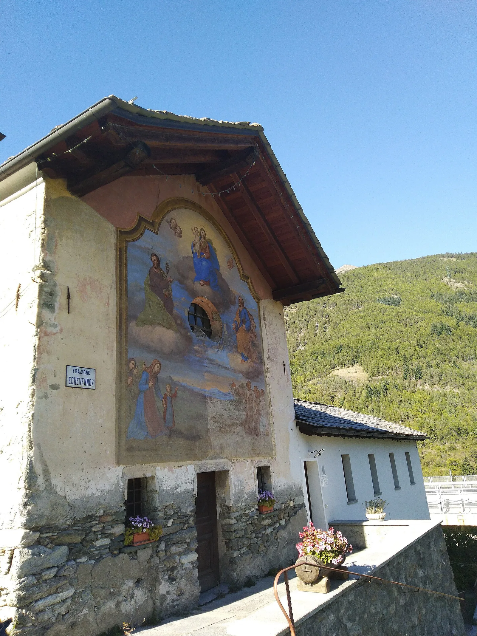
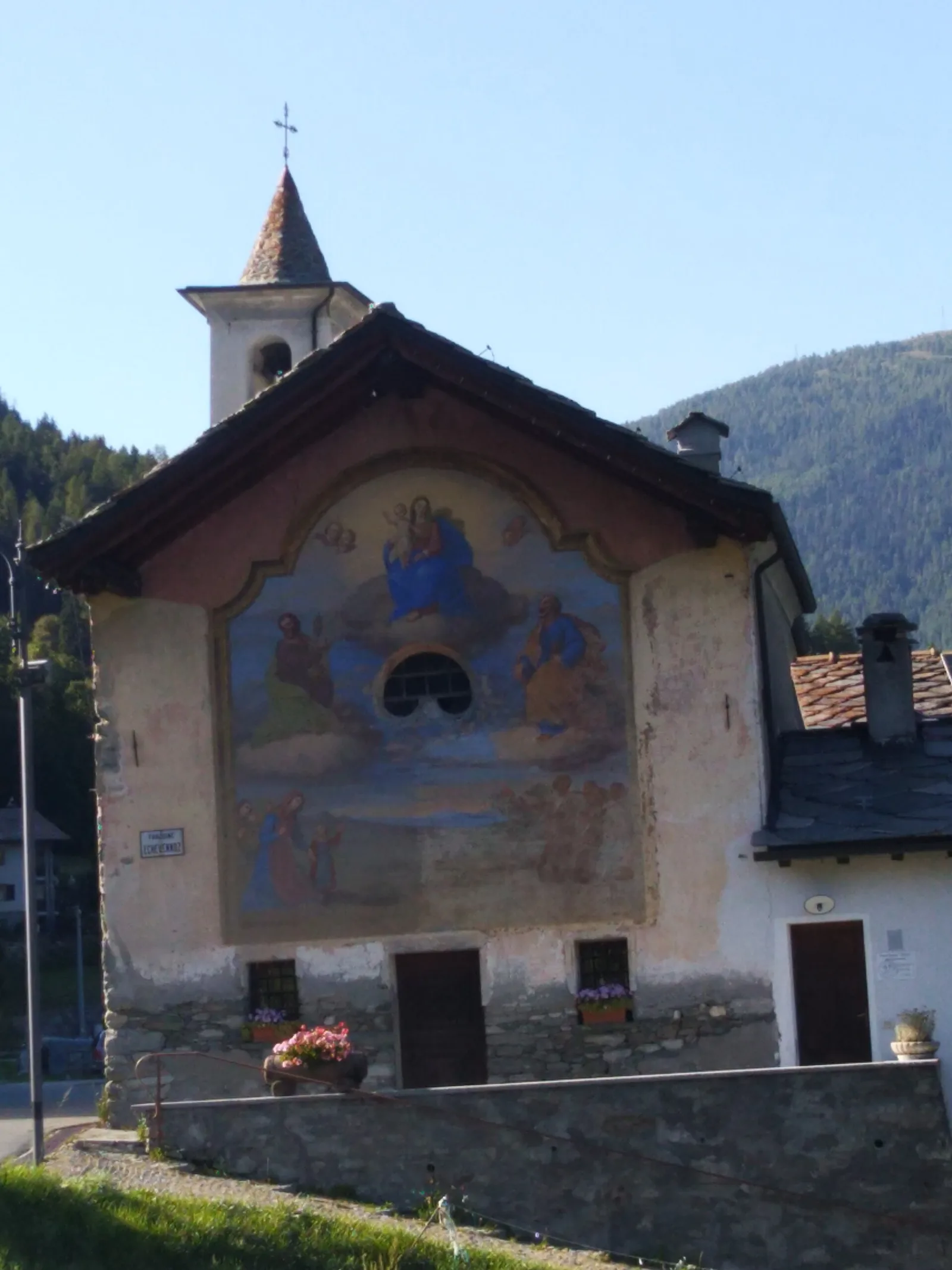
In the Valpelline, commune of Bionaz: an E-rated climb from forest to the Comba di Vertsan pastures.
Valpelline
9 km · +1334 m · EE — from Perrères to Col de Valcournera (Central Valley).
Valle del Gran San Bernardo
4.3 km · +562 m · E — from Petit-Buthier to Alpe Ars (Central Valley).
Valle del Gran San Bernardo
5.7 km · +562 m · E — from Petit-Buthier to Alpe Ars (Central Valley).

Valle di Champorcher
2.6 km · +507 m · EE — from Petit-Rosier to Col d'Arcomy (Valtournenche).
Val di Cogne
5.8 km · +1040 m · E — from Pila to Col Chasèche (Lys Valley).
Valpelline
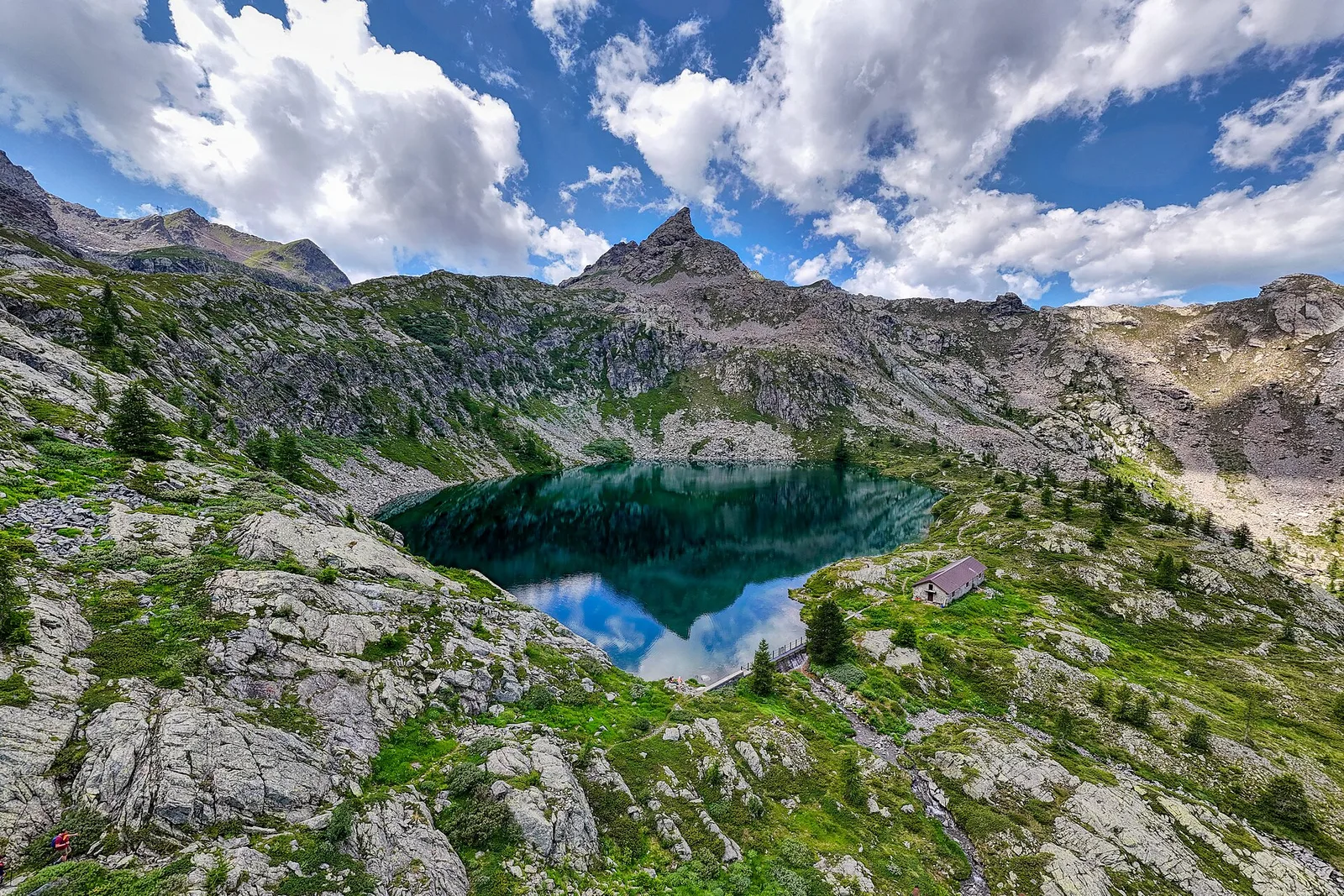
Along Lake Place-Moulin to Rifugio Prarayer (trail 9-10), Bionaz: 4.6 km, almost flat, T. A walk for everyone.
Val Veny
2.4 km · +379 m · E — from Plan Checrouit to Col Checrouit (Great St Bernard Valley).
Val Veny
1.9 km · +450 m · E — from Plan Ponquet to Col Checrouit (Great St Bernard Valley).
Valgrisenche
1.3 km · +319 m · E — from Planté to Verconey damon (Valtournenche).

Valle centrale
6.9 km · +1393 m · E — from municipio Pollein to Arpisson (Lys Valley).
Valsavarenche
1.1 km · +36 m · T — from Parcheggio Pont to Rifugio Tétras Lyre (Ayas Valley).
Valtournenche
2 km · +261 m · E — from Praz to Praz Croux (Valpelline).
Valle centrale
5.4 km · +881 m · E — from Chabodey to Promoud (La Thuile).
Valle di Champorcher
2.9 km · +376 m · EE — from Remoran to Col d'Arcomy (Valtournenche).
Valgrisenche
In the Valgrisenche the route climbs through forest and meadows toward upper pastures: an E-rated itinerary in the commune of Arvier.
Valgrisenche
3.1 km · +480 m · E — from Confine comunale Arvier, Revers to Borègne (Valtournenche).
Valgrisenche
4.2 km · +198 m · E — from Confine comunale Arvier, Revers to Valgrisenche (Valtournenche).
Val d'Ayas
2.7 km · +661 m · EE — from Rifugio Grand Tournalin to Petit Tournalin (Central Valley).

Valle del Lys
6.1 km · +1025 m · E — from Rikurt to Muni (Ayas Valley).
Val d'Ayas
1.4 km · +0 m · E — from Paysan to Casa fine poderale 29 (Ayas Valley).
Valle centrale
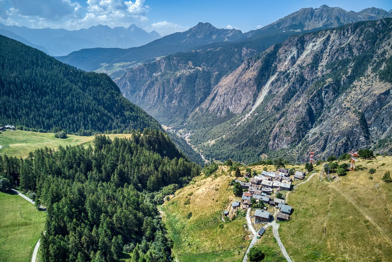
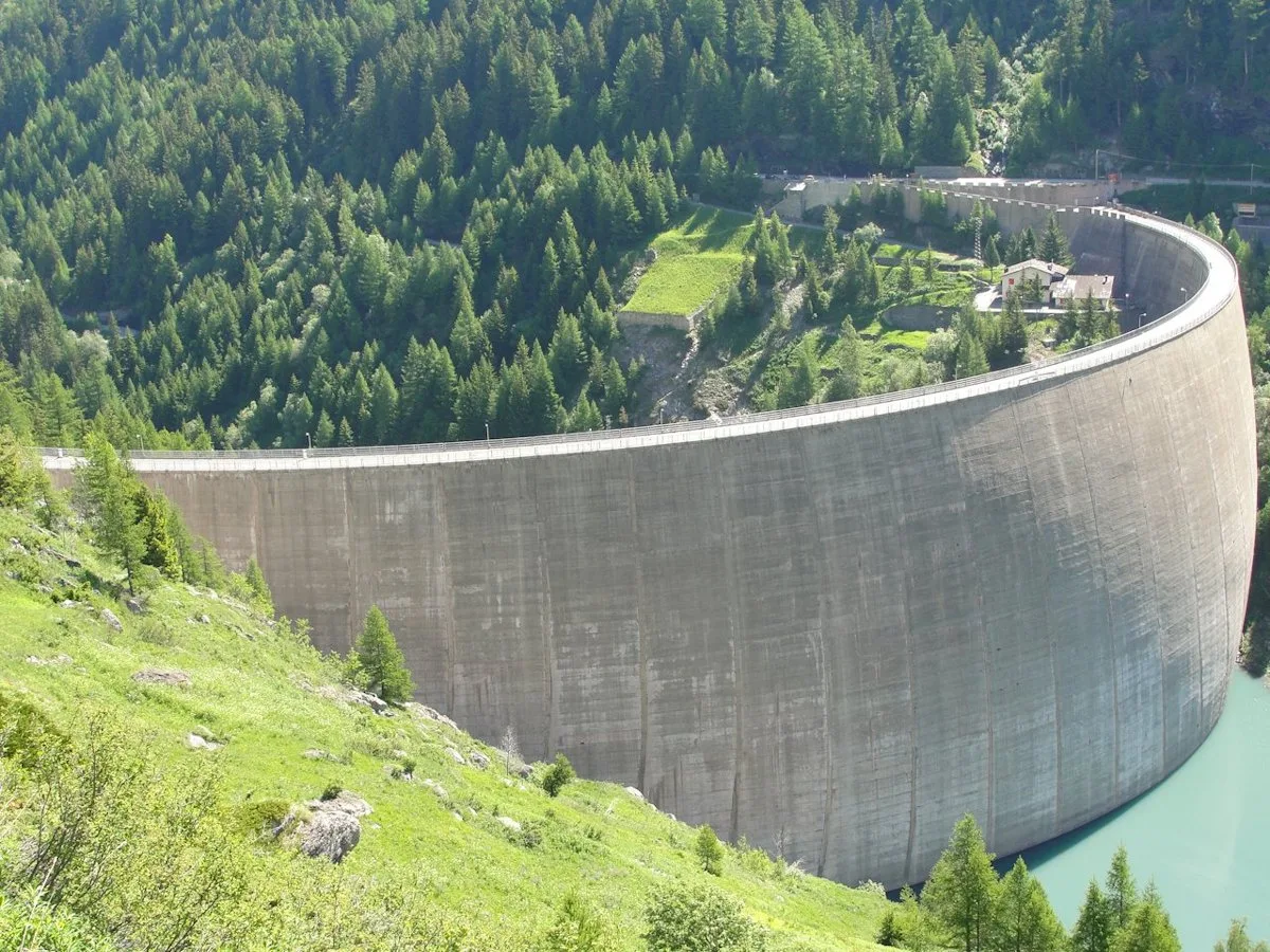
In the commune of La Salle, Valdigne: an E-rated climb with significant elevation gain toward upper slope zones.
Valtournenche
2.4 km · +160 m · E — from Incrocio strada presso Alpe Désert to Incrocio strada presso Alpe Désert (Valpelline).
Valle di Champorcher
3.4 km · +478 m · E — from Strada Dondena to Raty desot (Valtournenche).
Valle centrale
5.5 km · +1288 m · E — from Strada regionale per Arpy to Mont-Charvet (Central Valley).
Val d'Ayas
1.5 km · +367 m · T — from Strada Statale 26 to Croix de Saint-Gilles (Valtournenche).
Valle del Lys
12.7 km · +1425 m · E — from Capoluogo to Crest (Champorcher Valley).
Val di Rhêmes
7.9 km · +0 m · EE — from Rifugio Chalet de l'Epée to Capoluogo (Valtournenche).
Valle di Champorcher
15.6 km · +0 m · E — from Crest to Capoluogo (Champorcher Valley).
Valle centrale
11.9 km · +0 m · E — from Rifugio Bonatti to Capoluogo (Great St Bernard Valley).
Val d'Ayas
12.3 km · +0 m · E — from Châtillon to Montjovet (Valdigne).
Valpelline
5.6 km · +1484 m · E — from Valpelline to Col Fouillou (Valtournenche).
Valle di Champorcher
6.2 km · +1184 m · E — from Varesa to Buriana (Champorcher Valley).
Valle centrale
2.1 km · +235 m · EE — from Vens to Col du Joux (Central Valley).
Valle centrale
3.9 km · +289 m · E — from Vetan to Alpe Loe (Or) (Central Valley).
Valle di Champorcher
2.8 km · +530 m · E — from Visey damon to Col d'Arcomy (Central Valley).
Valle del Lys
6.5 km · +1391 m · E — from Zengji to Colle del Lupo (Ayas Valley).