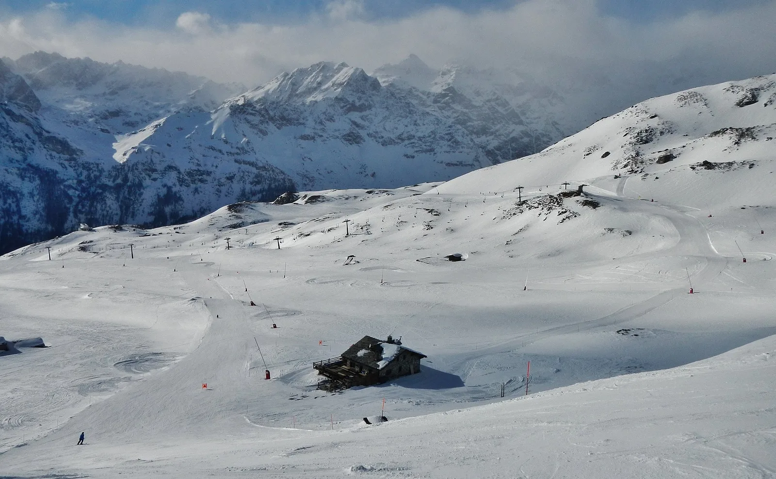
Desert- alpe Baraccon - Colle Roisetta
3.6 km
+586 m
−0 m
2.5 h
Nivel físico
Mapa y ruta
Traza GPX — verifica sobre el terreno antes de caminar
Descripción
Puntos clave
Salida
Illiaz Perron · 2242 m
Llegada
Colle Roisetta · 2828 m
Sendero
S22
Desert- alpe Baraccon - Colle Roisetta is an official trail from the Aosta Valley trail registry (code 71_S22). The route lies in the municipality of Villeneuve, in the Central Valley. From Illiaz Perron (2242 m) to Colle Roisetta (2828 m): 3.6 km with +586 m of elevation change, difficulty EE (CAI scale). Minimum elevation 2242 m, maximum 2828 m. Recommended season per registry: giugno, luglio, agosto, settembre (months 6, 7, 8, 9). Waymarking: 23 segnavia recorded in the registry. GPX track and elevation data from Regione Autonoma Valle d'Aosta (open data DGR 899/2014).
Aparcamiento
Galería de fotos
Photos are published immediately. JPG/PNG/WebP, max 6 MB.
Flora del sendero
Fauna que observar
AEditado y verificado por Andrea Rama
Fuente de datos: Catasto Sentieri Regione Autonoma VdA · Open data — DGR 899/2014
Última verificación:
Valtournenche
Senderos relacionados
Mismo valle o rutas similares — más excursiones por descubrir.

Valtournenche
Anello Area sportiva-Fiernaz-Area sportiva
2.9 km · +28 m · T — from Area sportiva to Area sportiva (Valtournenche).

Valtournenche
Anello dei Villaggi di Antey ( Ruvère, Liesse,Fontaney, Villettaz)
A loop through the sunlit hamlets of Antey and Torgnon: traditional Aosta Valley architecture, vineyards and mid-mountain forest, 5.2 km from Ruvère.

Valtournenche
Anello di Champlève
1.9 km · +140 m · E — from Champlève to Champlève (Central Valley).

Valtournenche
Area Pic Nic Champlong - Becca d'Aver e Cima Longhede
6.4 km · +913 m · E — from Area Pic Nic Champlong to Cima Longhede (Valsavarenche).