Grand Haury - Boregne
Advertencias
- Lightly used trail: markings may be unclear in dense woodland.
- Late snow can linger on the alp until June.
5.8 km
+835 m
−0 m
3.5 h
Nivel físico
Mapa y ruta
Traza GPX — verifica sobre el terreno antes de caminar
Descripción
Puntos clave
Salida
Grand Haury · 1170 m
Llegada
Boregne · 1999 m
Sendero
S11
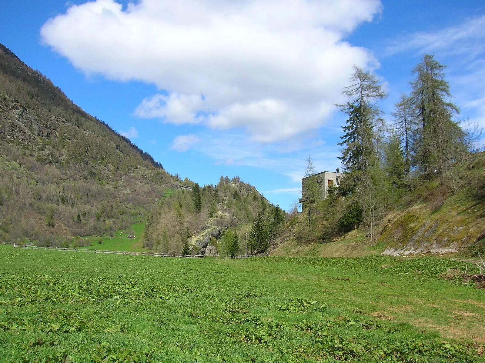
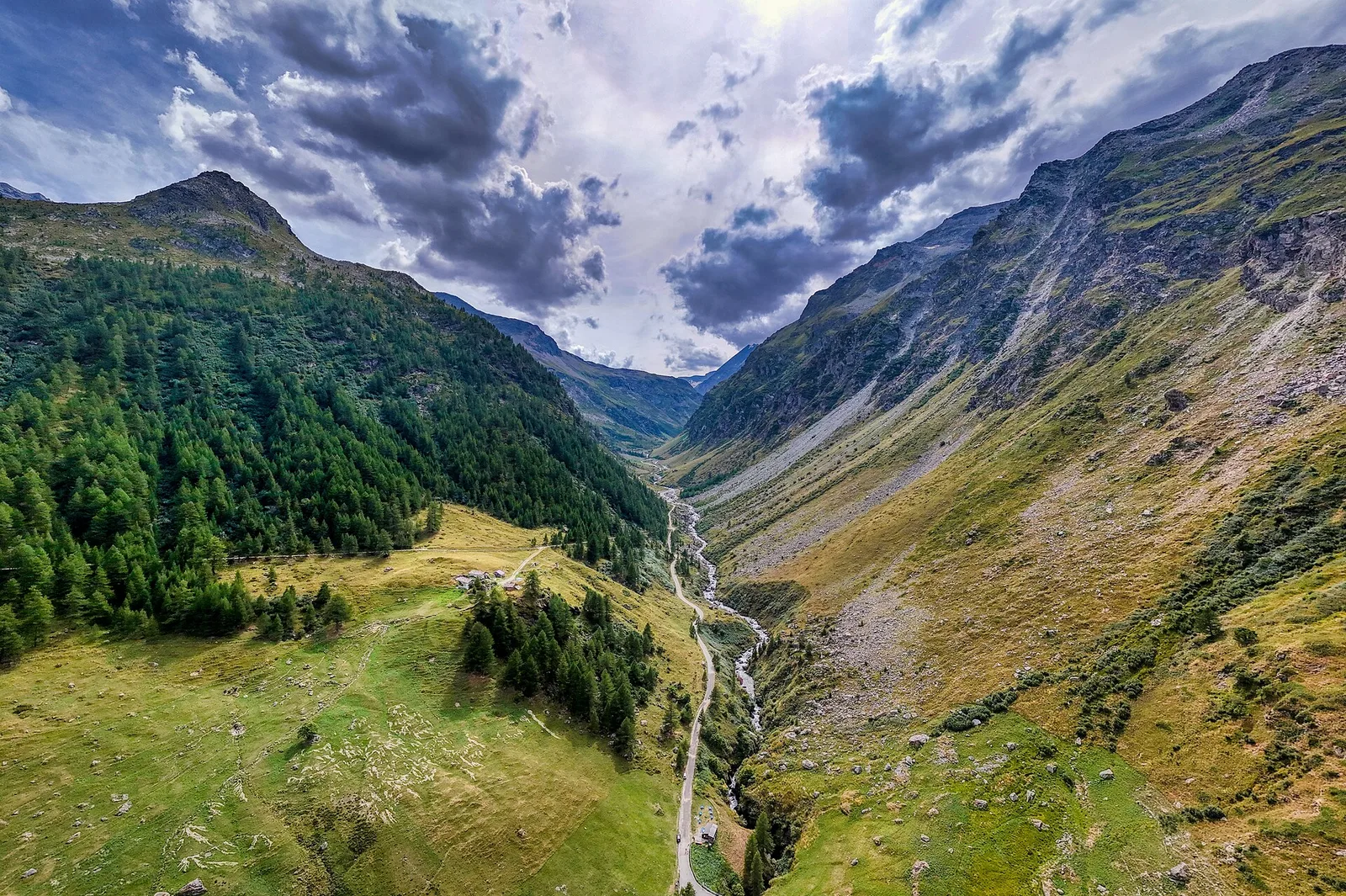
The path from Grand Haury to Boregne opens in the transitional zone between the lower Valgrisenche and the commune of Arvier, climbing a side valley from forested terrain toward the high pastures. The walk begins at Grand Haury (1170 m). The trail climbs the slope at a sustained gradient through woodland that gradually thins, giving way to high-altitude grassland. Alpe di Boregne (approx. 2000 m) marks the arrival point: a broad pastoral terrace at the foot of the Becca Verconey walls, open across the valley. The 835 m ascent over 5.8 km concentrates effort in the first half. The E rating indicates a hiking route requiring fitness but free of technical difficulty.
Aparcamiento
Galería de fotos
Photos are published immediately. JPG/PNG/WebP, max 6 MB.
Flora del sendero
Fauna que observar
AEditado y verificado por Andrea Rama
Fuente de datos: Catasto Sentieri Regione Autonoma VdA · Open data — DGR 899/2014
Última verificación:
Valgrisenche
Senderos relacionados
Mismo valle o rutas similares — más excursiones por descubrir.

Valgrisenche
Balconata dal Belvedere al lago di San Grato
4.9 km · +705 m · E — from Bois de Grillet to Lago di San Grato (Valtournenche).

Valgrisenche
Bivio strada per Grand Alpe - Col du Mont
5 km · +706 m · E — from Bivio strada per Grand Alpe to Col du Mont (Valtournenche).
Valgrisenche
Bivio strada per Grand Alpe - Lac Saint-Grat
4.7 km · +534 m · E — from Bivio strada per Grand Alpe to Lac Saint-Grat (Valtournenche).
Valgrisenche
Borègne - Plontaz
8 km · +678 m · E — from Borègne to Plontaz (Valtournenche).