
EE
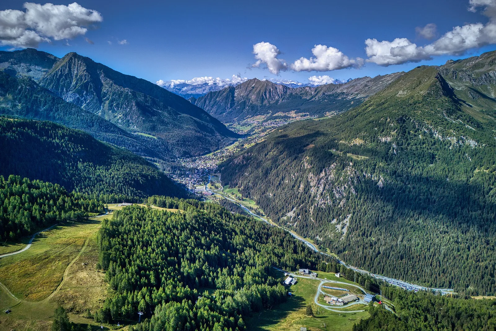
Val d'Ayas
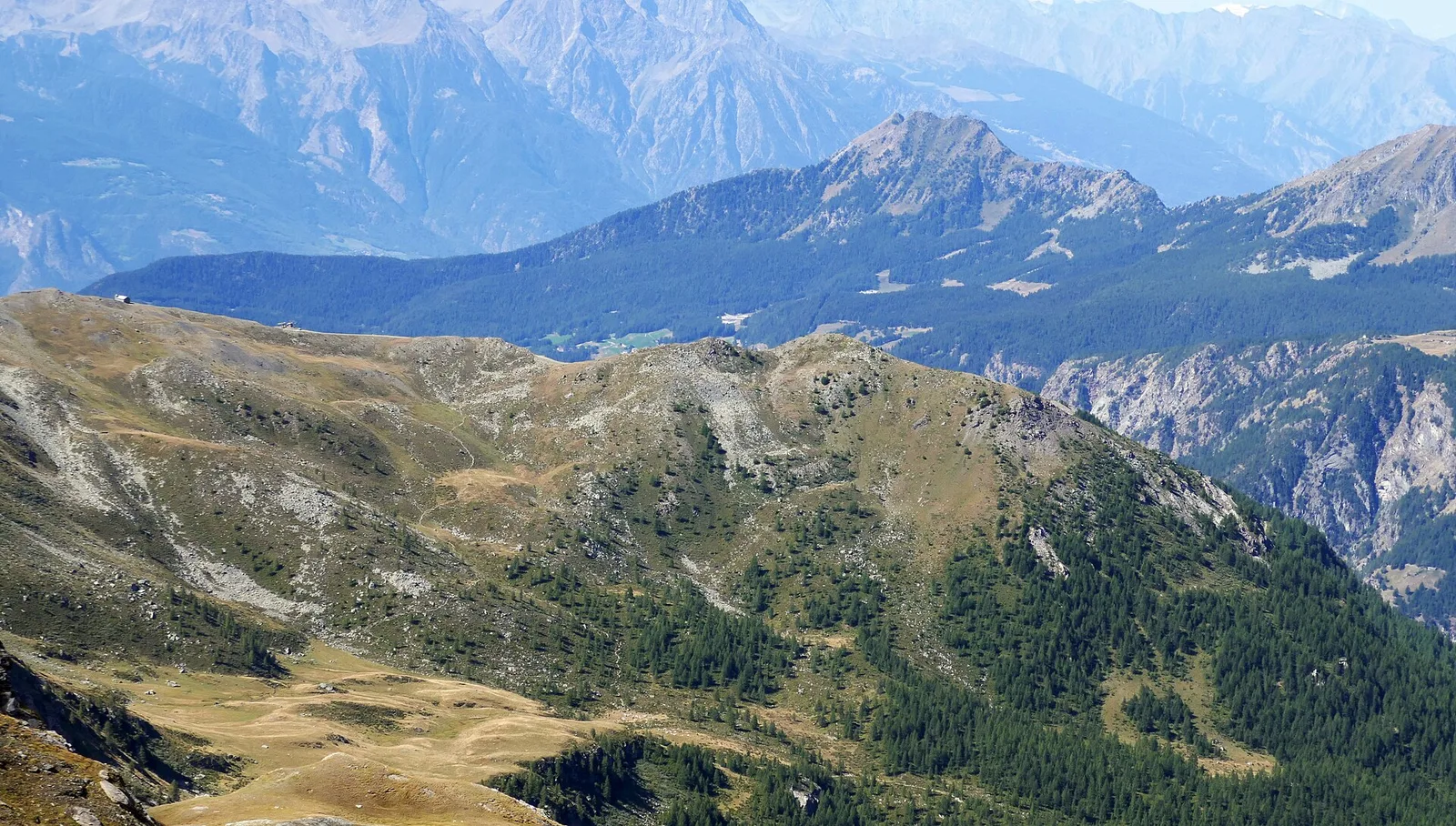
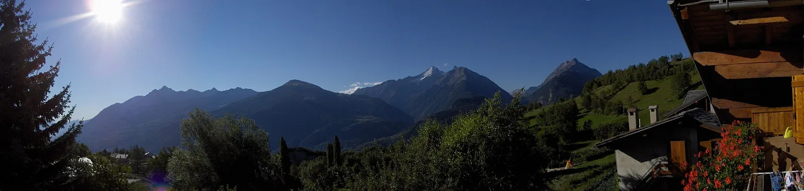
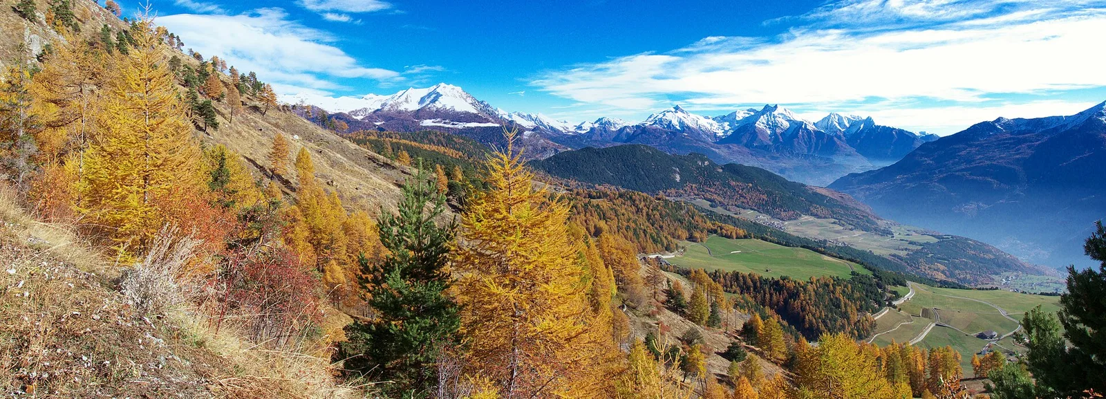
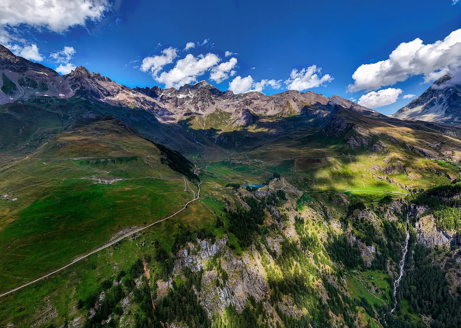
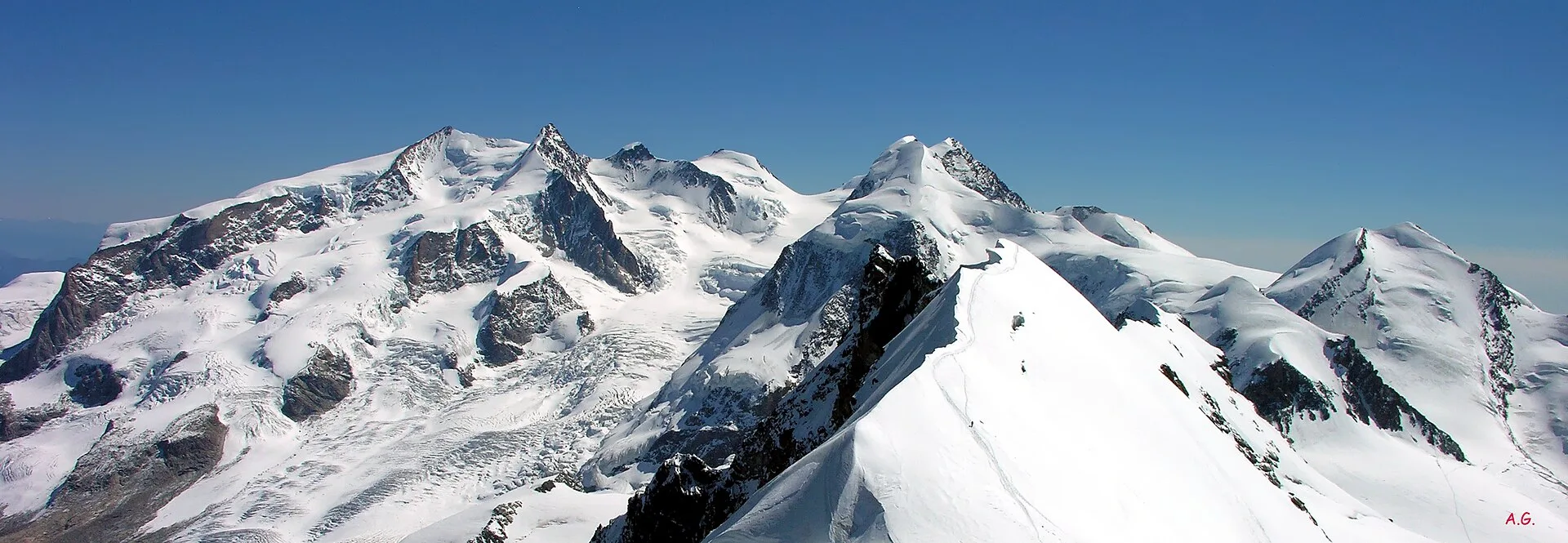
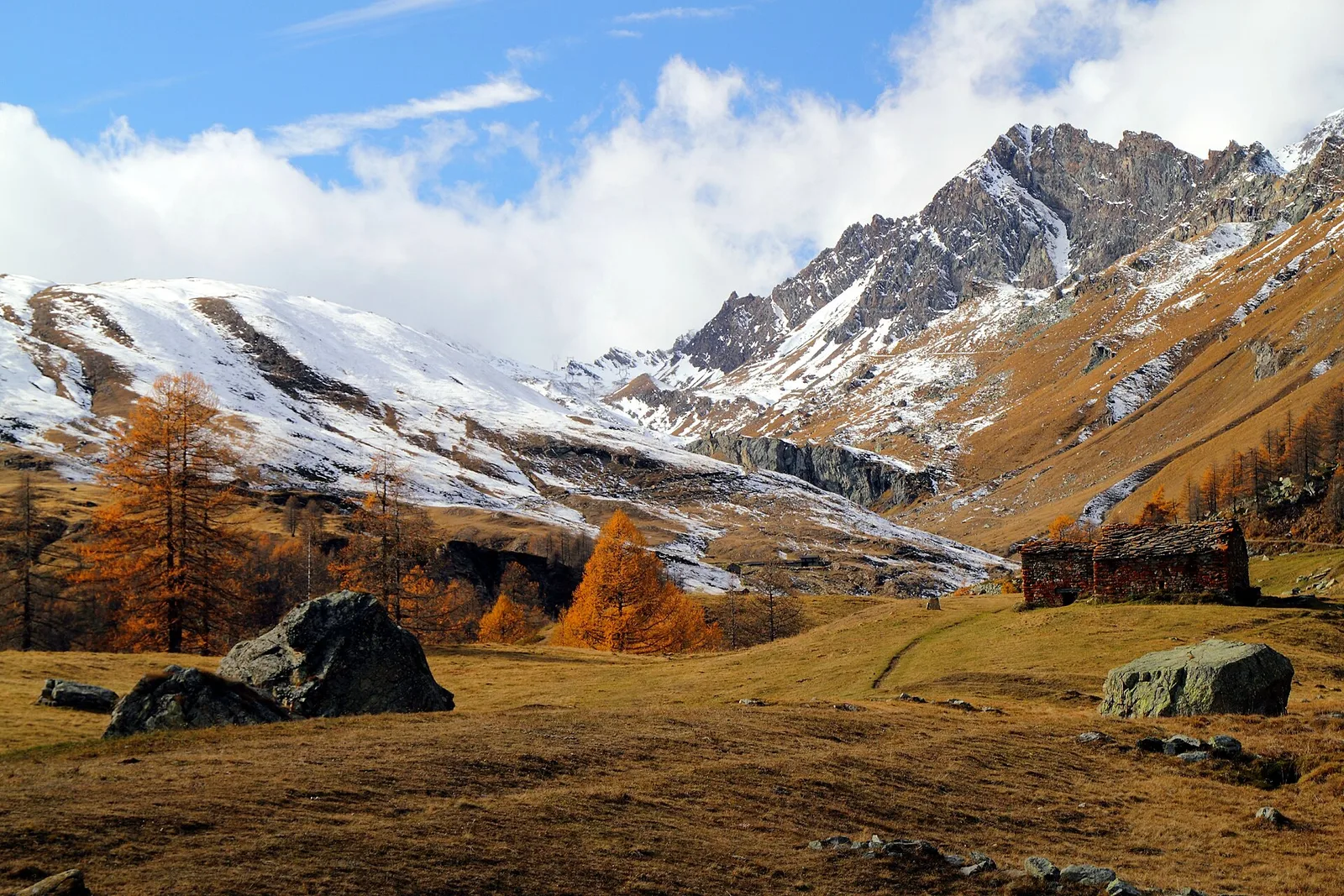
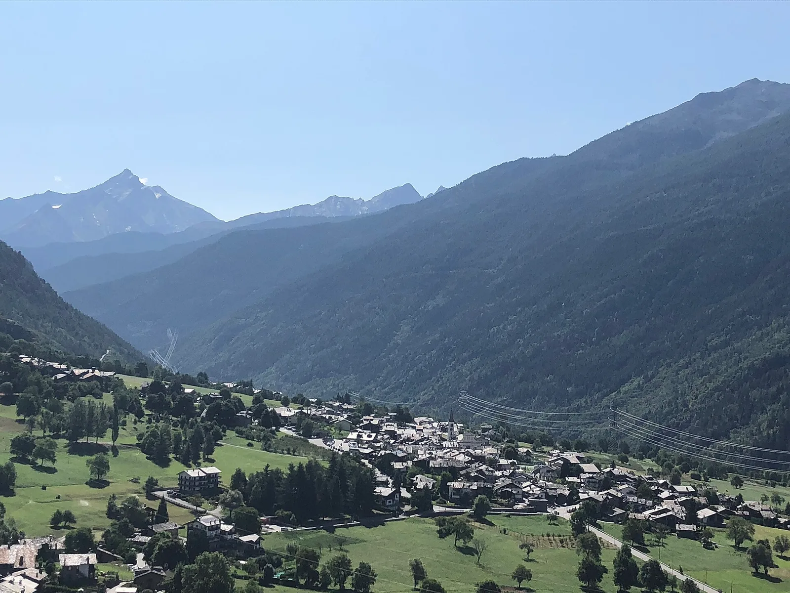
Amponey - Becca Trecare
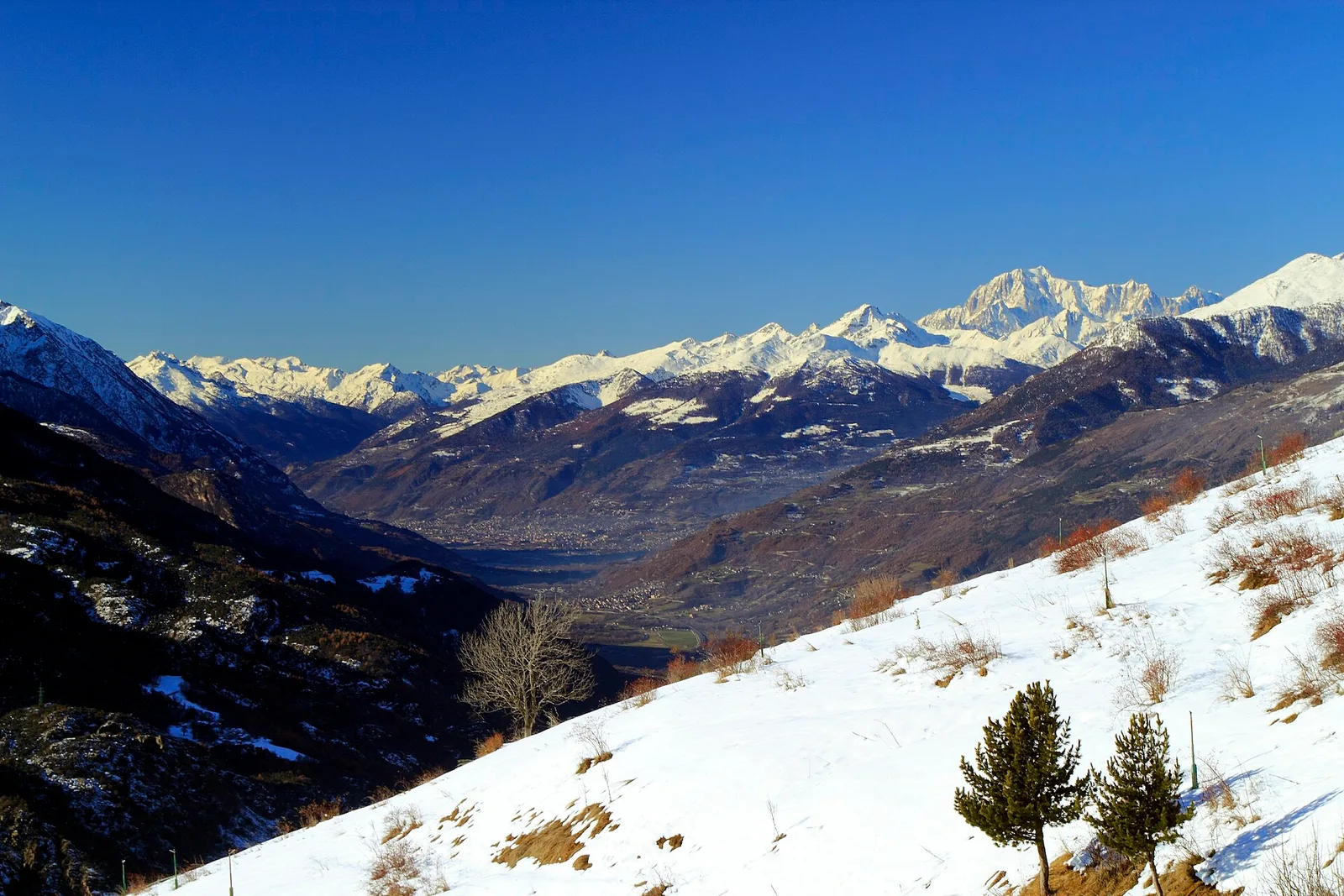
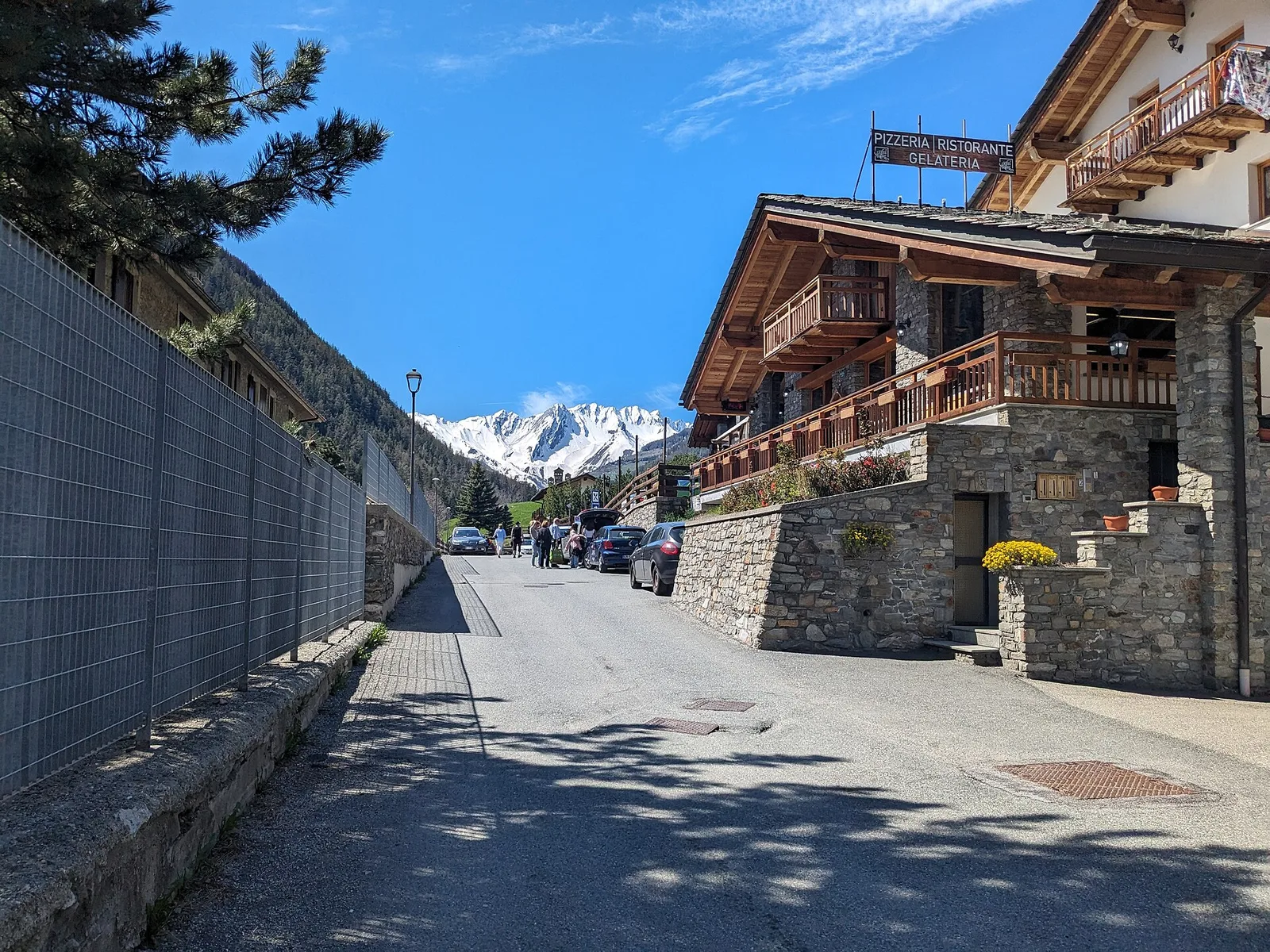
A demanding EE ascent from Amponey to Becca Trecare at 3032m — nearly 1500m of gain on varied terrain with sweeping summit views.
7.5 km+1488 m5.5 h
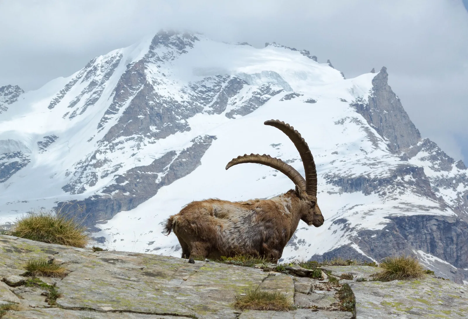
Where to spot
55 trails where Red fox is listed in flora/fauna: difficulty T–EE, elevation gain 0–1722 m.
55 · 0.6–14.2 km · +0–1722 m
Val d'Ayas
A demanding EE ascent from Amponey to Becca Trecare at 3032m — nearly 1500m of gain on varied terrain with sweeping summit views.
Valle centrale
3.1 km · +0 m · E — from Arpisson to Ponteille (Lys Valley).

Bassa Valle
A short woodland climb from Arsines, above Arnad, to Col Fenêtre: a scenic pass of the lower Aosta Valley.
Valle centrale
5.5 km · +786 m · E — from Bellecombe to Alpe Valmeriana (Valdigne).
Valtournenche
3.3 km · +507 m · EE — from Berzin to Cappella di Saint-Evence (Valpelline).
Bassa Valle
3.9 km · +549 m · E — from Biel to Serra di Biel (Valsavarenche).
Valtournenche
A route for experienced hikers from Blanchard to Col Roisetta, at 2,831 metres, a pass between Val d'Ayas and Valtournenche.
Valtournenche
Easy walk from Bourg to Brengon (La Magdeleine) through historic Valtournenche hamlets: 3.7 km and just 188 m of ascent. Base for the Brengon-Parapromiat via ferrata.
Valtournenche
1.2 km · +136 m · E — from Breuil to Cielo Alto (Central Valley).
Valgrisenche
4.4 km · +1118 m · E — from Bruil to Col Fenêtre de Torrent (Great St Bernard Valley).
Valle centrale
5 km · +867 m · E — from Charrière to Vetan (Central Valley).

Valle centrale
2.5 km · +477 m · E — from Château to Morges (La Thuile).
Valle centrale
7 km · +1299 m · E — from Chenaux to Arpisson (Lys Valley).
Val di Cogne
2.8 km · +170 m · T — from Capoluogo to Valnontey (Lys Valley).
Valle di Champorcher
4.8 km · +708 m · E — from Fournier to Mandaz (Champorcher Valley).
Valle centrale
4.8 km · +623 m · E — from Echarlod to Morges (La Thuile).
Val d'Ayas
5.9 km · +1028 m · E — from X 1 e 2 to Col de Joux (Valtournenche).
Valle centrale
4.2 km · +453 m · E — from Fossaz to Cerlogne (Central Valley).
Valle centrale
3.5 km · +432 m · E — from Fossaz to Gerbore (Central Valley).
Val d'Ayas
From Frachey (1620 m) to Col du Rothorn (2692 m): 5.7 km, +1094 m, exposed sections. Pass linking Val d'Ayas to Valle centrale. Expert hikers only. EE.
Valle centrale
0.6 km · +46 m · E — from Gerbore to Vetan (Central Valley).
Valpelline
4.8 km · +1037 m · E — from Glacier to Bivacco Regondi (Valpelline).
Valle del Lys
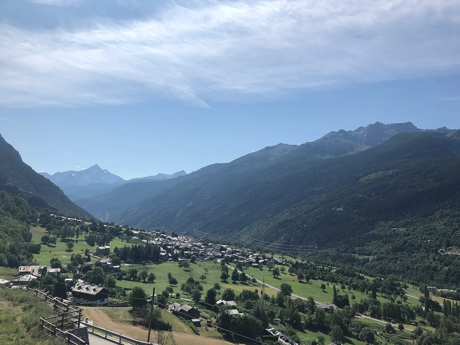
In the commune of Brusson, Val d'Ayas: an E-rated route among hamlets and pastures with characteristic valley views.
Val d'Ayas
4.4 km · +110 m · T — from Col di Joux to Col Tzecore (Valtournenche).
Valgrisenche
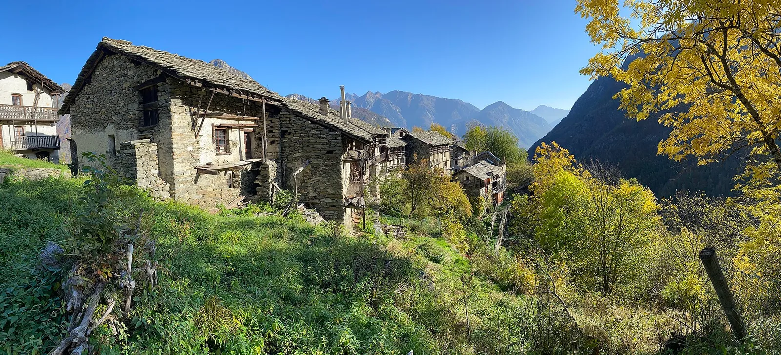
From Grand Haury the route climbs through forest and alpine meadow to the Alpe di Boregne pasture plateau at the foot of Becca Verconey in a quiet Valgrisenche side valley.
Valtournenche
In the commune of Torgnon, Valtournenche: an E-rated route through hamlets, forest and pastures with panoramic views.
Valtournenche
2.4 km · +23 m · T — from Cappella di Saint-Pantaléon to Saint-Evence (Central Valley).
Val di Cogne
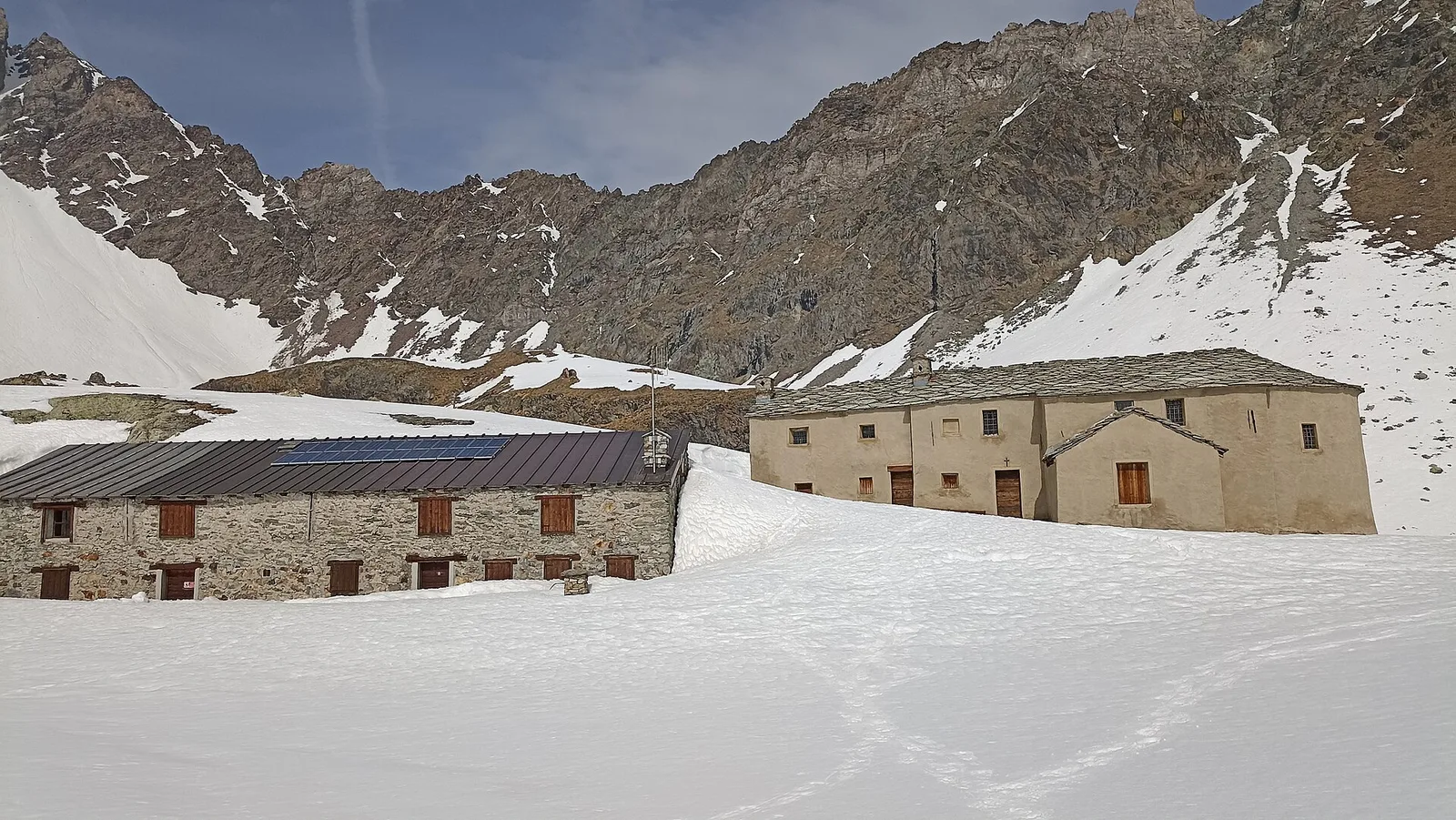
From La Nouva (1,300 m) through the Nomenon alp to Bivacco Gontier (2,302 m) in the Gran Paradiso National Park: 6.7 km, 1,020 m ascent.
La Thuile
4.8 km · +926 m · E — from La Thuile to Col de la Croix (Lys Valley).

Valle di Champorcher
9 km · +1364 m · EE — from Le Crin to Col Fussy (Lys Valley).
Valle centrale
2.9 km · +0 m · E — from Lignan to Arlod (Valpelline).
Val Ferret
9 km · +998 m · E — from Mayencet to Tête de Bernarde (Great St Bernard Valley).
Valtournenche
4.8 km · +167 m · E — from Mognod to Saint-Evence (Valpelline).
Valle centrale
4.1 km · +892 m · E — from Moline to Brein (Lys Valley).
Valgrisenche
6.6 km · +835 m · E — from Mondanges to Rifugio Chalet de l'Epée (Valtournenche).
Val d'Ayas
6.5 km · +1049 m · E — from Mure to Boden (Central Valley).
Valpelline
5.1 km · +1127 m · E — from Capoluogo to Col Brison (Valpelline).
Valle di Champorcher
2.2 km · +442 m · E — from Outre l'Eve to Alpe Monpey (Valtournenche).
Bassa Valle
4.7 km · +579 m · T — from Piazza E.Chanoux to Carogne (Valtournenche).
Valgrisenche
4.7 km · +488 m · E — from Planaval to Miollet (Valtournenche).
Valpelline
6.8 km · +1318 m · E — from Ponte Vernosse to Col Vamea (Lys Valley).
Valtournenche
3.1 km · +199 m · E — from Promiod to Brengon (Valdigne).
Val di Rhêmes
5.4 km · +230 m · E — from Refuge Savoie to Plan Borgnoz (Ayas Valley).
Valgrisenche
4.2 km · +198 m · E — from Confine comunale Arvier, Revers to Valgrisenche (Valtournenche).
Valle di Champorcher
5.2 km · +468 m · E — from Rifugio Barbustel to Col de Mézove (Central Valley).
Valpelline
1.5 km · +312 m · EE — from Rifugio Oratorio di Cunéy to Becca Fontaney (Valpelline).
Valle del Lys
4.8 km · +1211 m · EE — from Rong to Passo Valdobbiola (Champorcher Valley).
Valle del Gran San Bernardo
4.7 km · +889 m · E — from Rosière to Colle Serena (Central Valley).
Valle del Gran San Bernardo
1 km · +250 m · E — from Saint-Oyen to Eternod (Great St Bernard Valley).
Valle centrale
14.2 km · +1342 m · E — from Saint-Vincent to La Magdeleine (Valtournenche).
Valle centrale
6 km · +977 m · E — from Terme to Col de Joux (Valtournenche).

Valle di Champorcher
5.2 km · +1722 m · E — from Varesa to Chavanna (Champorcher Valley).
Valle del Gran San Bernardo
7.2 km · +1009 m · EE — from Vetan to Col Palettaz (Central Valley).
Valle centrale
2.4 km · +196 m · E — from Villair to Château de Châtelard (Central Valley).
Val Veny
2.9 km · +151 m · E — from Lassy damon to Visaille (Great St Bernard Valley).