Blanchard - Col Roisetta
Advertencias
- Final section on scree and rock with steep or exposed steps: requires a sure foot and a head for heights (EE grade).
- High-altitude route: start early, plan time and water, and turn back before early afternoon.
- Residual snow may linger in gullies and on north-facing slopes into early summer: assess current conditions.
8.3 km
+1104 m
−0 m
5 h
Nivel físico
Mapa y ruta
Traza GPX — verifica sobre el terreno antes de caminar
Descripción
Puntos clave
Salida
Blanchard · 1731 m
Llegada
Colle Roisetta · 2831 m
Sendero
S24
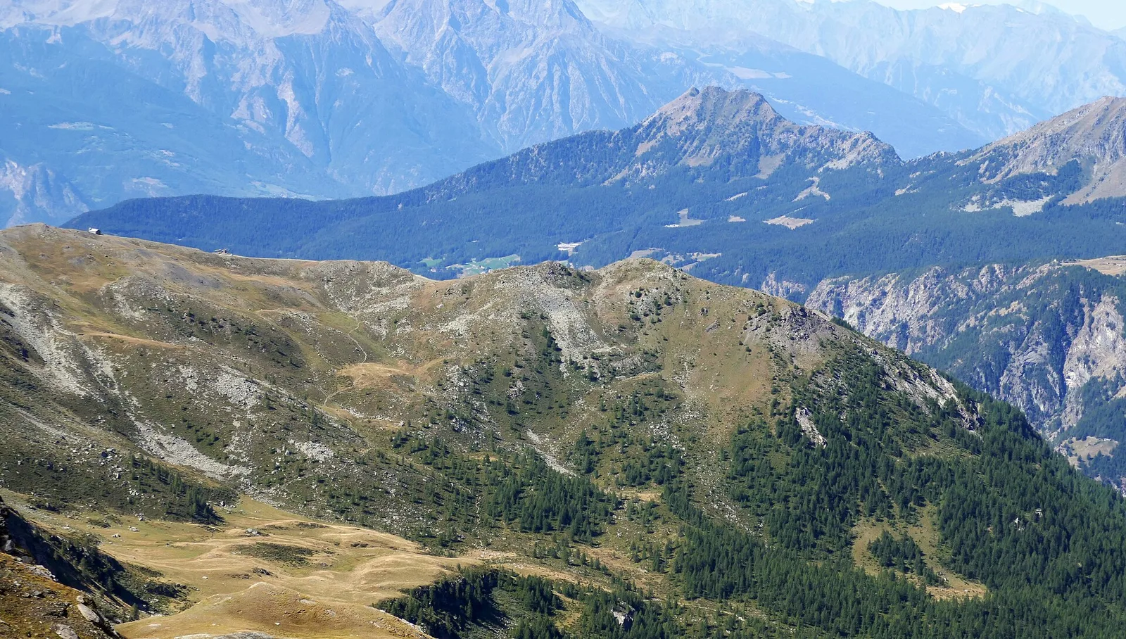
From Blanchard, at 1,731 metres on the valley hillside, the path climbs to Col Roisetta, a pass at 2,831 metres on the ridge dividing Val d'Ayas from Valtournenche. It runs 8.3 km with 1,104 metres of ascent, on experienced-hiker terrain: after the pastures and alps lower down, the track crosses scree slopes and steeper sections up to the col. The pass, dominated by the bulk of Becca di Nana and the nearby peaks, is a classic crossing between the two valleys and offers a wide view over both sides. Walk it with a sure foot and care for late-lying snowfields early in the season; watch the afternoon weather. Best in summer.
Aparcamiento
Galería de fotos
Photos are published immediately. JPG/PNG/WebP, max 6 MB.
Flora del sendero
AEditado y verificado por Andrea Rama
Fuente de datos: Catasto Sentieri Regione Autonoma VdA · Open data — DGR 899/2014
Última verificación:
Valtournenche
Senderos relacionados
Mismo valle o rutas similares — más excursiones por descubrir.

Valtournenche
Anello Area sportiva-Fiernaz-Area sportiva
2.9 km · +28 m · T — from Area sportiva to Area sportiva (Valtournenche).

Valtournenche
Anello dei Villaggi di Antey ( Ruvère, Liesse,Fontaney, Villettaz)
A loop through the sunlit hamlets of Antey and Torgnon: traditional Aosta Valley architecture, vineyards and mid-mountain forest, 5.2 km from Ruvère.

Valtournenche
Anello di Champlève
1.9 km · +140 m · E — from Champlève to Champlève (Central Valley).

Valtournenche
Area Pic Nic Champlong - Becca d'Aver e Cima Longhede
6.4 km · +913 m · E — from Area Pic Nic Champlong to Cima Longhede (Valsavarenche).