
EE
Val d'Ayas
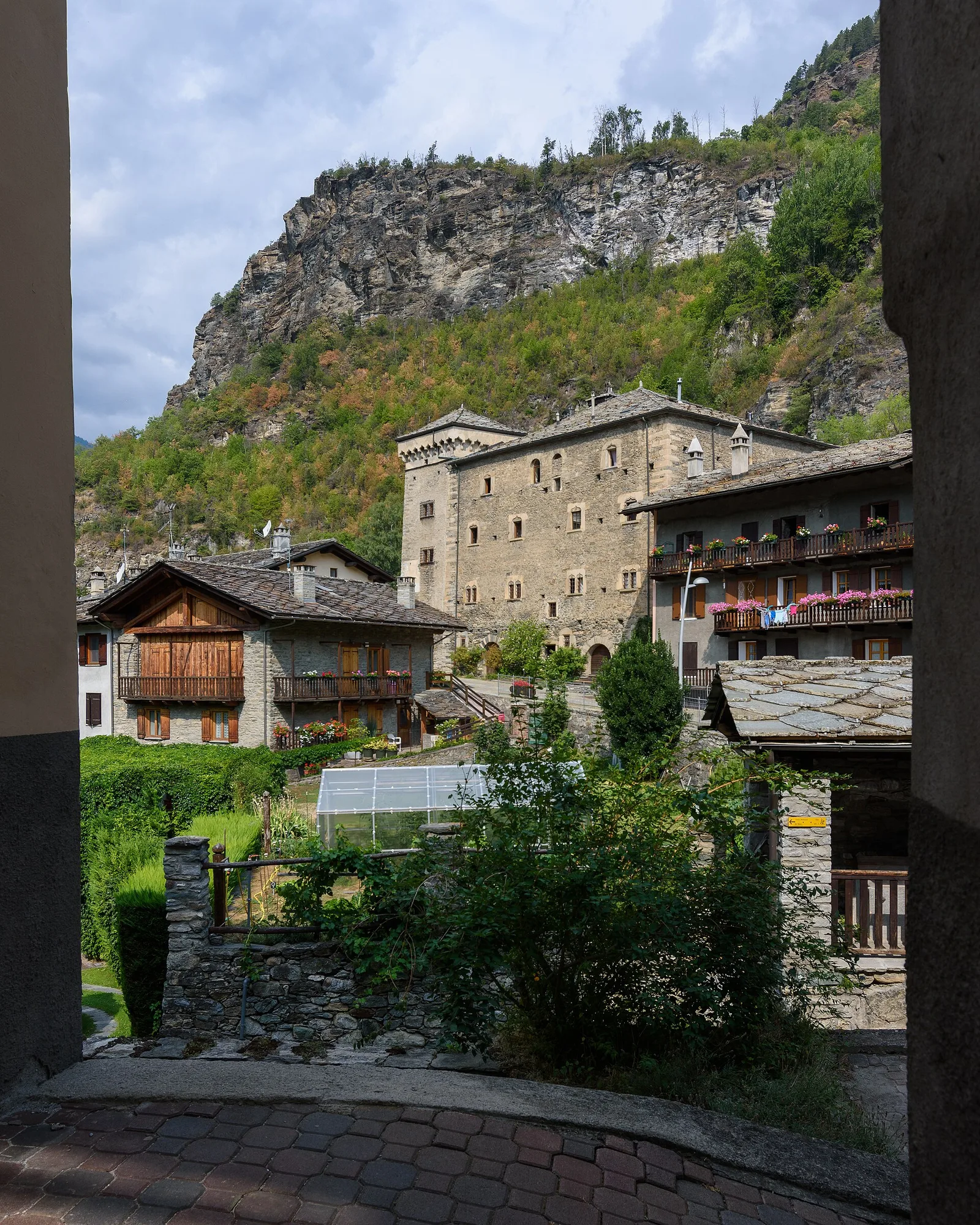
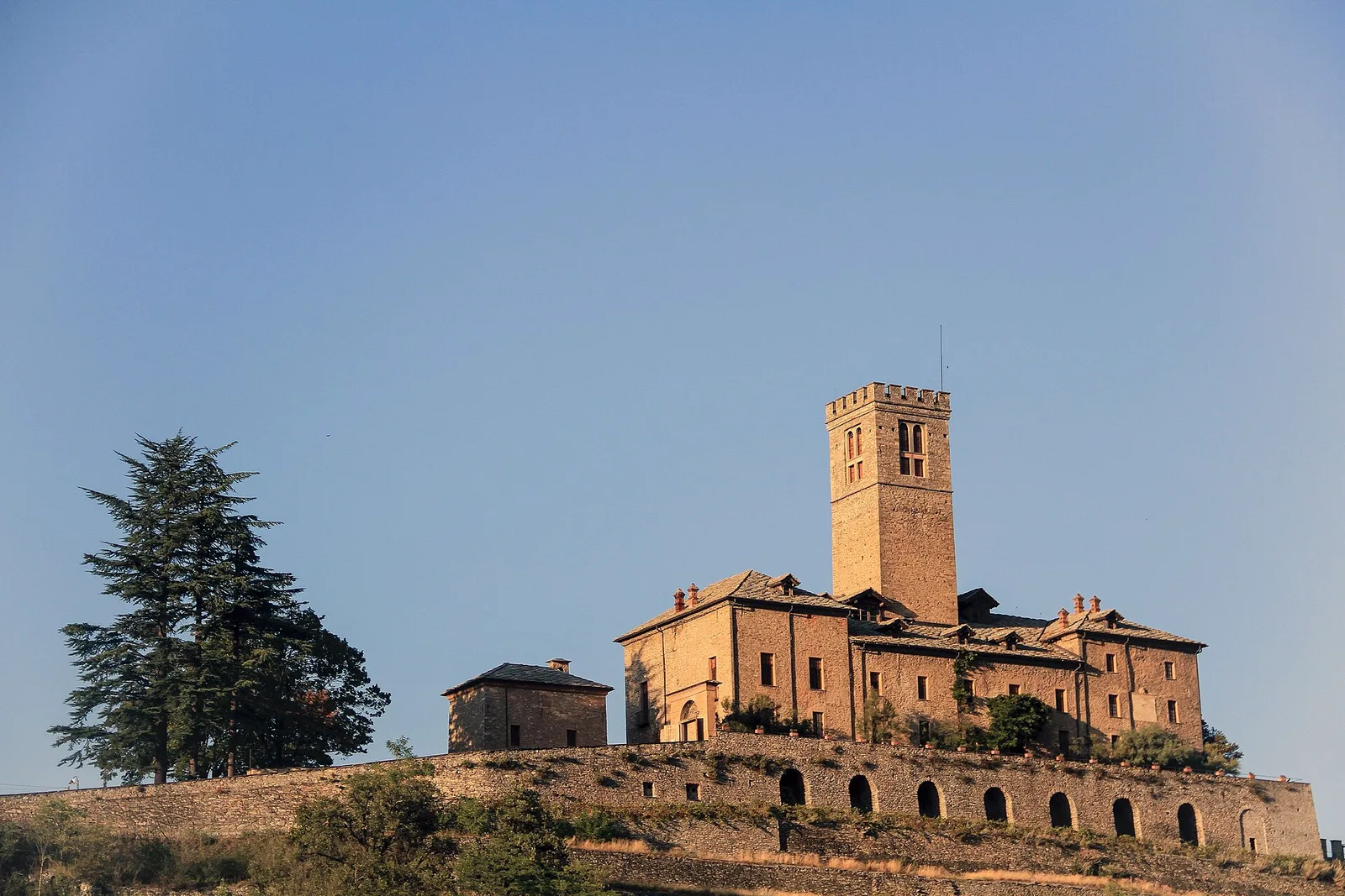
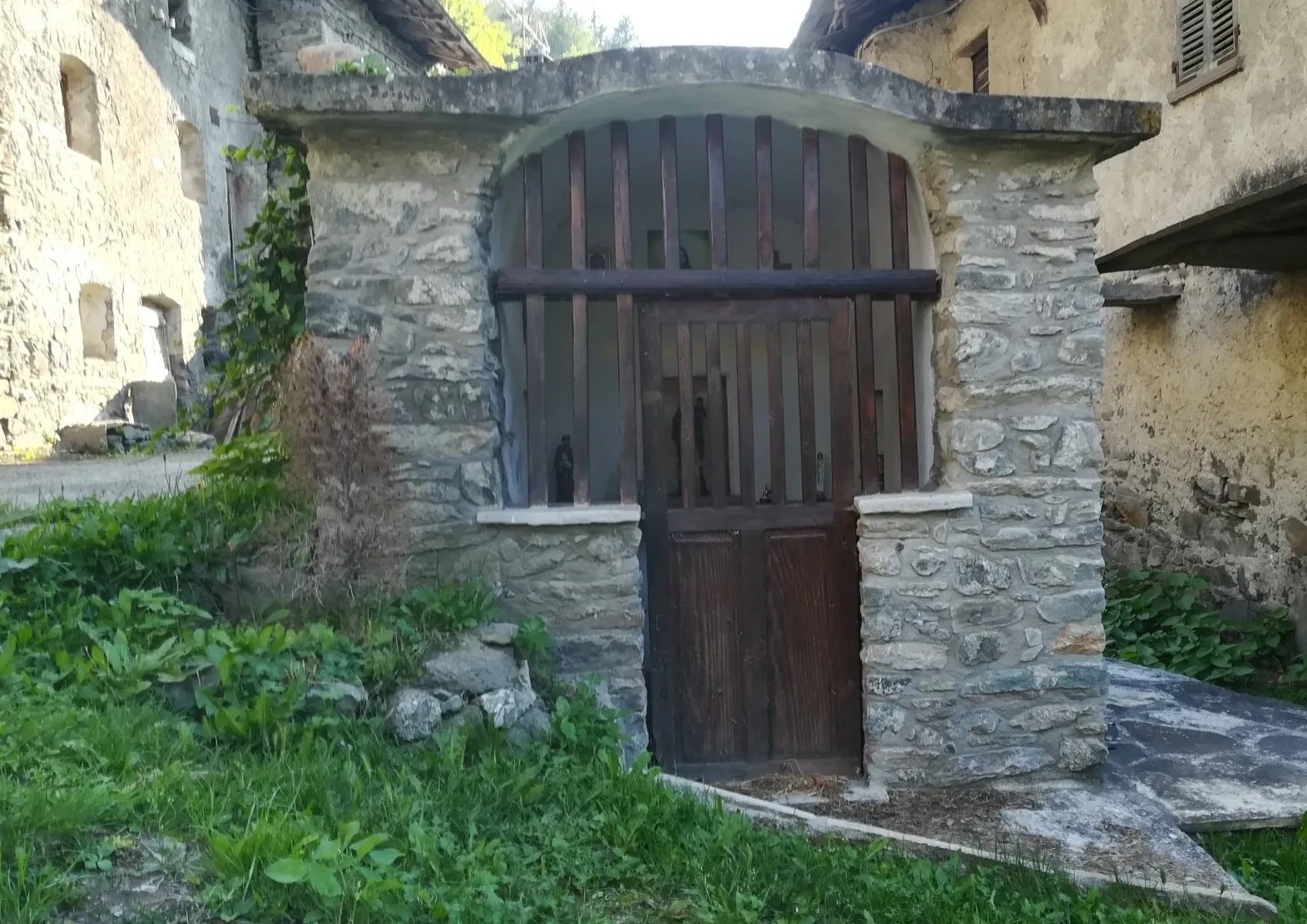
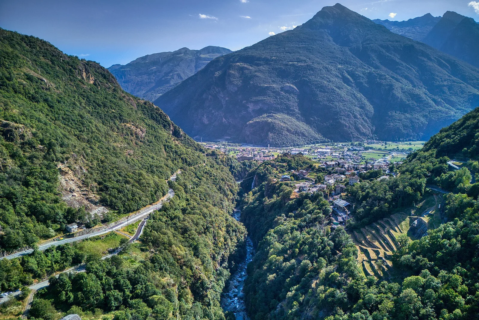
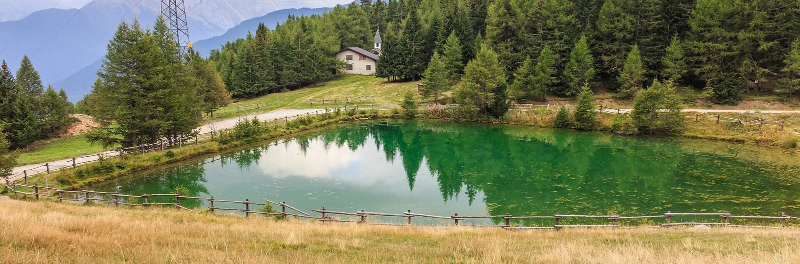
Anello delle gole del torrente Roesaz
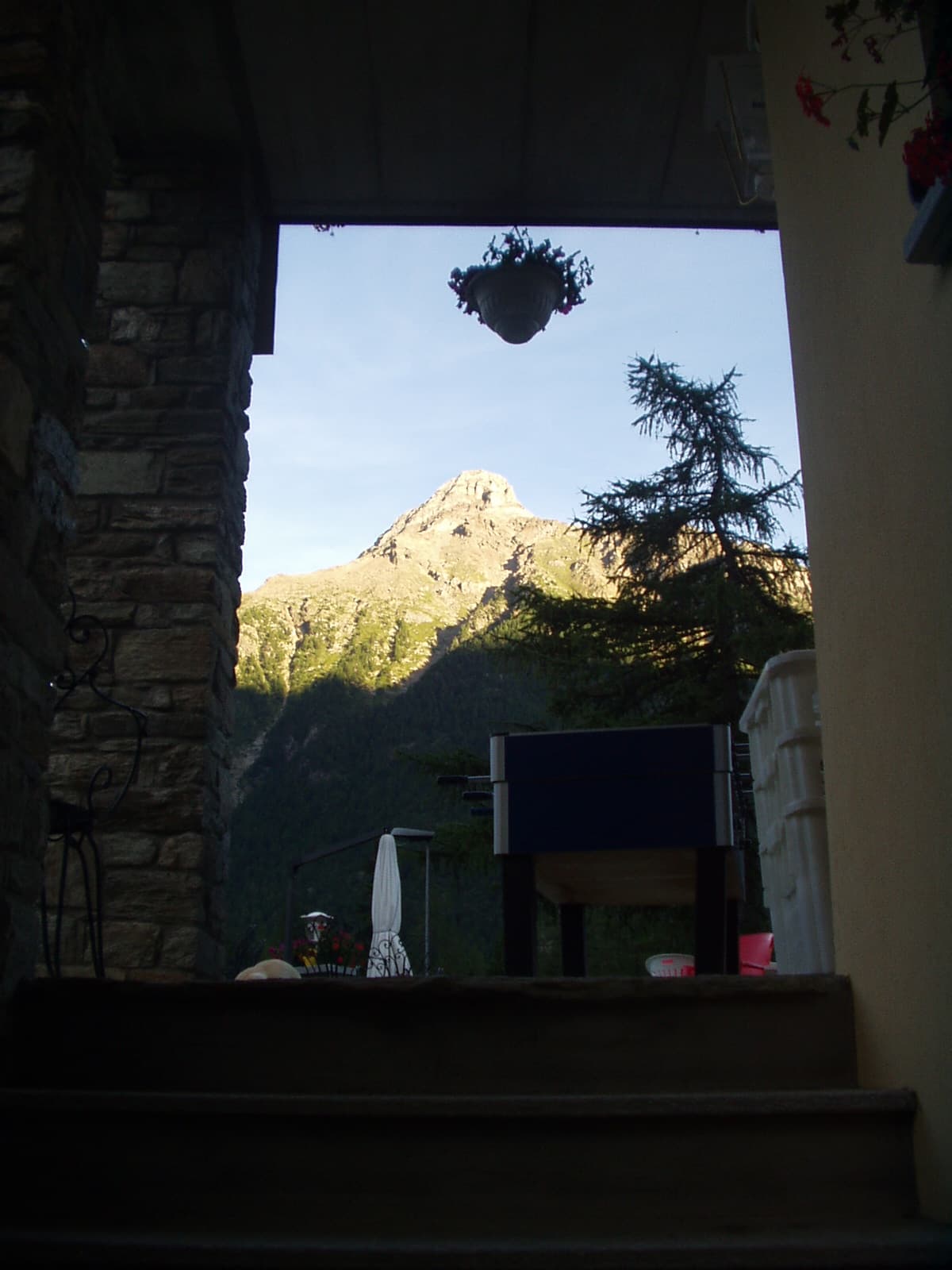
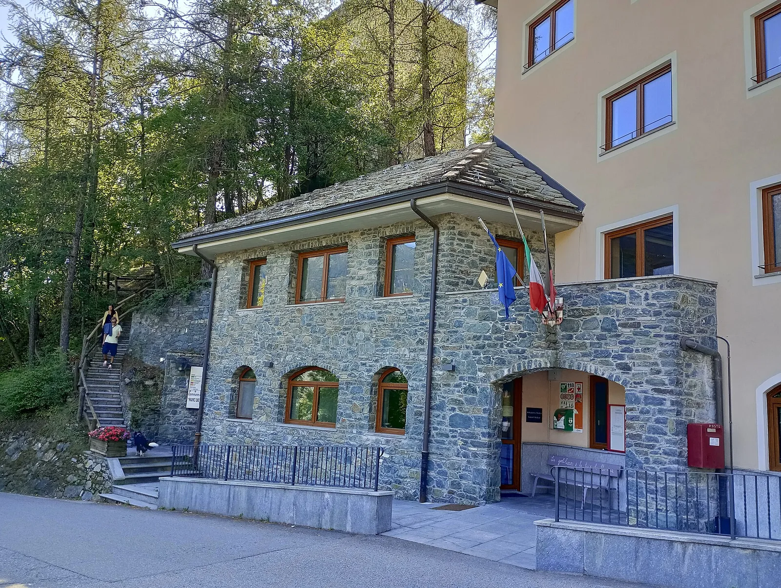
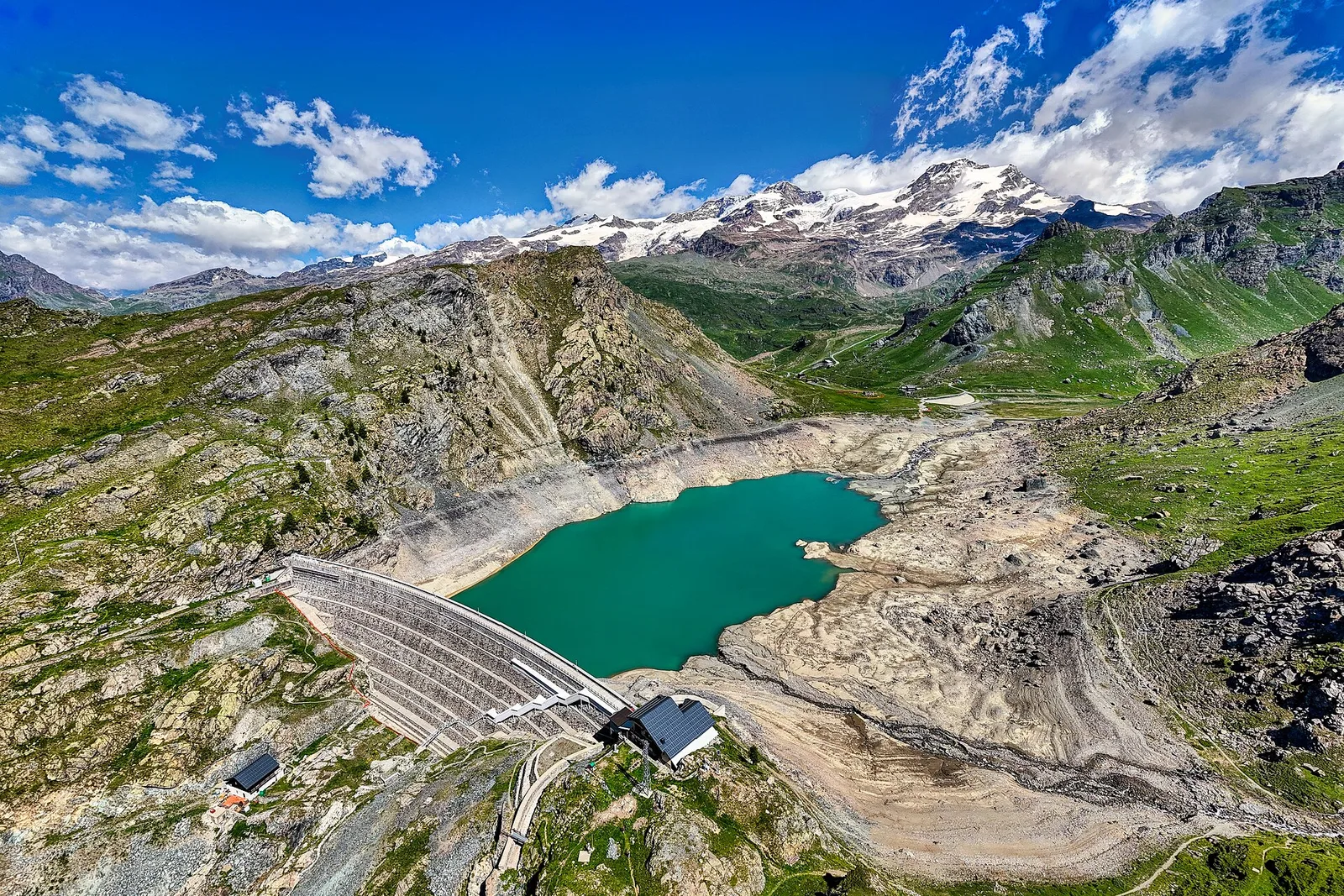
9.4 km · +1238 m · EE — from Isollaz to Isollaz (Ayas Valley).
9.4 km+1238 m5.5 h
Where to spot
63 trails where Hazel is listed in flora/fauna: difficulty T–EEA, elevation gain 0–1814 m.
63 · 0.5–21.1 km · +0–1814 m
Val d'Ayas
9.4 km · +1238 m · EE — from Isollaz to Isollaz (Ayas Valley).
Valle centrale
In the Valdigne, La Salle: an E-rated route through forest and pasture with views of Mont Blanc.

Bassa Valle
1.6 km · +397 m · E — from Barme to Carogne (Valtournenche).
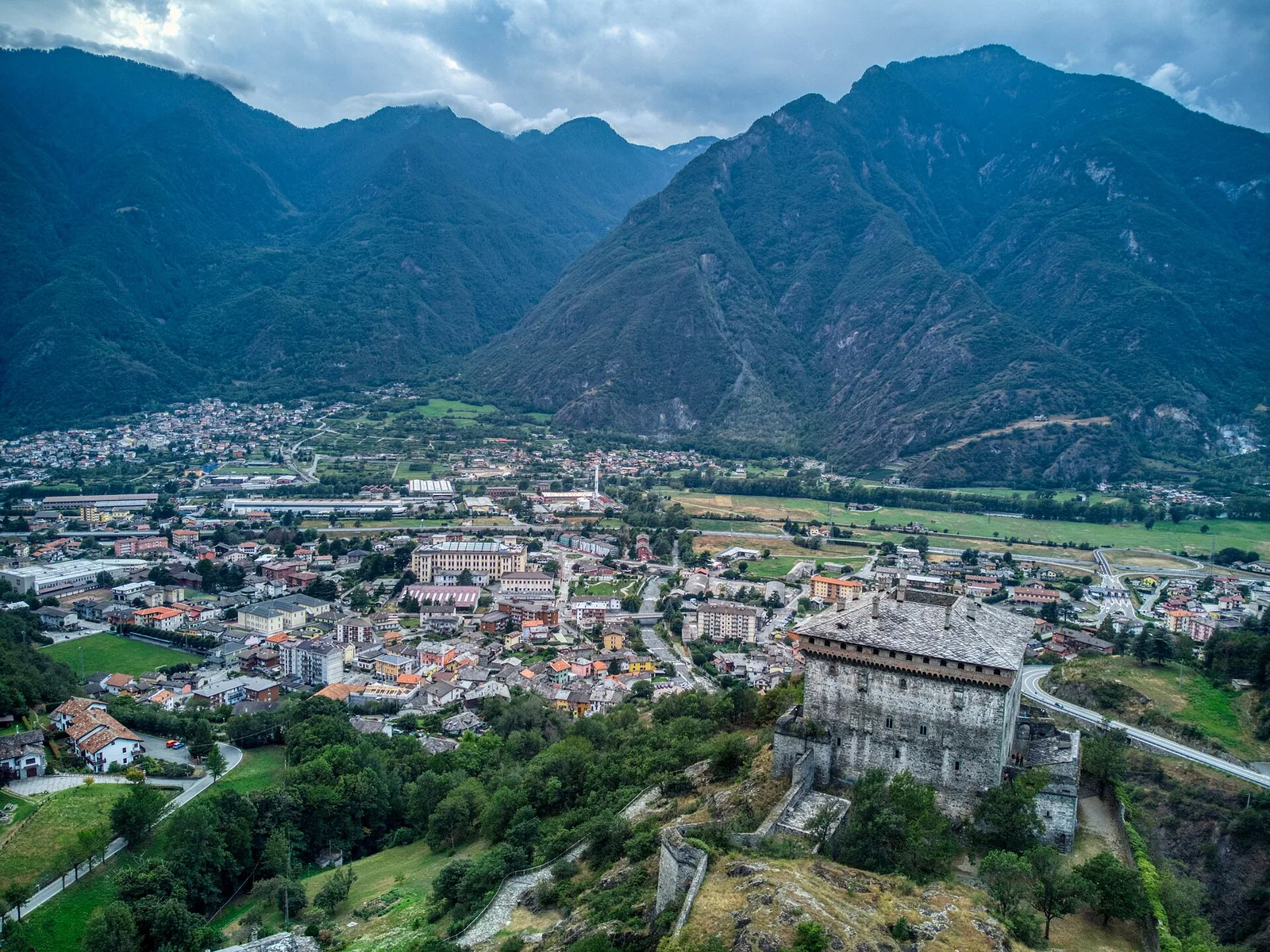
Valtournenche
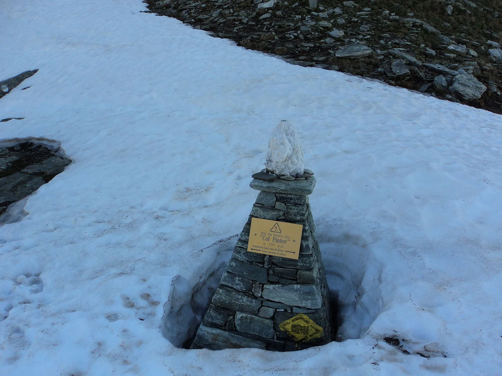
A route for experienced hikers from Blanchard to Col Roisetta, at 2,831 metres, a pass between Val d'Ayas and Valtournenche.
Valle centrale
9.3 km · +968 m · E — from Blavy to Praz (Valpelline).
Bassa Valle
2.5 km · +427 m · E — from Bourg to Bourg (Valtournenche).
Val d'Ayas
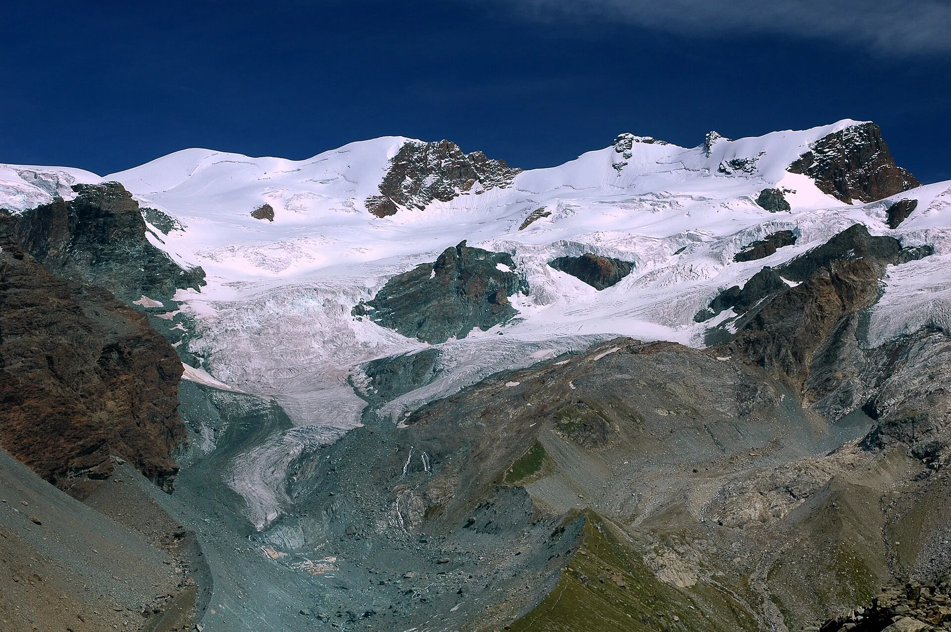
From Champoluc (1569m) to Testa Grigia (3315m): 8.2 km EEA — the Val d'Ayas summit on foot, full panorama over all Monte Rosa four-thousanders and the Matterhorn.
Valle centrale
A steady climb in the Valdigne from Charbonnière (1,271 m) to Vedun (1,519 m) in the municipality of La Salle: 3.5 km, 380 m ascent.
Valle centrale
1.2 km · +181 m · E — from Charvensod to Sainte-Colombe (Cogne Valley).
Valle centrale
1.5 km · +89 m · T — from Chenière to Moulin (Lys Valley).
Valpelline
From Chez-Chenoux the trail quickly clears the forest belt and opens onto the Comba di Vertsan pastures, climbing to the ruins of Alpe Chardonney (2519 m) in the quiet upper Valpelline.
Valle centrale
4.7 km · +821 m · E — from Cort to Charrère (Valsavarenche).
Bassa Valle
3.6 km · +909 m · E — from Croce della Missione to Gias Desot (Valtournenche).
Valle del Gran San Bernardo
3.5 km · +180 m · E — from Strada comunale a monte delll'abitato di Dailley to Châtelard (Valtournenche).
Valle centrale
6.6 km · +880 m · E — from Druges to Col de Crotey (Great St Bernard Valley).
Valle centrale
3.1 km · +239 m · E — from Druges to Miniera Servette (Great St Bernard Valley).

Val d'Ayas
1.2 km · +276 m · E — from Estaod (Montjovet) to Emarèse (Great St Bernard Valley).
Valpelline
9.9 km · +1466 m · EE — from Etirol to Cima Bianca (Valpelline).
Valsavarenche
5.2 km · +966 m · E — from Fenille to Colle Becca Plana (Ayas Valley).
Valle centrale
2.7 km · +0 m · E — from Gignod to Ru Bourgeois - Cré (Central Valley).
Valpelline
5.6 km · +850 m · E — from Glacier to Pointe Cormet (Valpelline).
Val d'Ayas
2 km · +106 m · E — from Isollaz to Ponti Romani (Ayas Valley).
Valgrisenche
7.6 km · +1281 m · E — from La Béthaz to Rifugio degli Angeli al Morion (Valtournenche).
Bassa Valle
3.3 km · +642 m · E — from La Raffort to Pian (Valsavarenche).
Valle centrale
In the Valgrisenche, Arvier: a significant E-rated climb through forest toward upper pastures.
Valle centrale
3.3 km · +259 m · T — from Liarey to Chabodey (La Salle) (Central Valley).

Valle centrale
7.4 km · +1084 m · E — from Lignan to Bivacco Rosaire Clermont (Valpelline).
Valle centrale
7.7 km · +287 m · E — from Lignan to Champlaisant (Valpelline).
Valle centrale
1.5 km · +284 m · E — from Moulin to Plout (Great St Bernard Valley).
Valle centrale
2 km · +461 m · E — from Moulin to Gorettaz (Lys Valley).
Val d'Ayas
2 km · +282 m · E — from Nabian to Barmata (Ayas Valley).
Valle centrale
1 km · +355 m · E — from Nus to Vollein (Valpelline).
Valle del Lys
5.7 km · +773 m · E — from Ondre Eselbode to Rifugio Gabiet (Lys Valley).
Valle di Champorcher
2.2 km · +442 m · E — from Outre l'Eve to Alpe Monpey (Valtournenche).
Bassa Valle
3.1 km · +639 m · E — from Outrefer to Pourcil (Valtournenche).
Bassa Valle
1.3 km · +111 m · E — from Rovarey to Croce della Missione (Valtournenche).
Bassa Valle
4.7 km · +579 m · T — from Piazza E.Chanoux to Carogne (Valtournenche).
Valle centrale
1.8 km · +355 m · E — from Pingaz to Novellioz (Valtournenche).
Valle centrale
3.6 km · +228 m · E — from Plan d'Introd to Moulin de Tache (innesto sentiero 6) (Lys Valley).
Valle centrale
1.8 km · +429 m · E — from municipio Pollein to Chenoz (Lys Valley).
Valle centrale
4.3 km · +1068 m · E — from Ponte Dora Baltea to Alpe Mont Giron (Valdigne).
Valpelline
From Pouillaye (1626 m) to Colle di Montagnaye (2907 m): a demanding border crossing between the Valpelline and the Swiss Canton of Valais.
Bassa Valle
1.3 km · +234 m · E — from Pramotton to Tour Pramotton (Valtournenche).
Valtournenche
6.6 km · +1143 m · E — from Promiod to Madonna dello Zerbion (Valdigne).
Valle del Lys
EE route from Quinçod (1030 m) to Colle Chasten (2549 m): 1708 m gain from the valley floor. Experienced hikers only, early start mandatory.
Valle centrale
6.6 km · +1205 m · E — from Capoluogo to Mont-Paillasse (Central Valley).
La Thuile
9 km · +1264 m · E — from Joux to Colle passo Alto (Lys Valley).
Val d'Ayas
From Saint-Jacques, the demanding EE route to Mont Roisetta climbs pastures, scree and high-mountain terrain in the Val d'Ayas, with views toward Monte Rosa.
Bassa Valle
12.9 km · +1737 m · E — from Bourg to Sassa (Valtournenche).
Valle centrale
6.1 km · +420 m · E — from Institut Agricole to Cappella della Consolata (Ayas Valley).
Valpelline
15.8 km · +0 m · E — from Rifugio Cuney to Les Sergnoux (Valpelline).
Valle centrale
13.9 km · +1205 m · E — from Arpuilles to Vetan (Ayas Valley).
Valle centrale
20.3 km · +0 m · E — from La Salle to Avise (La Thuile).
Bassa Valle
21.1 km · +0 m · E — from Châtillon to Verrès (Valdigne).
Bassa Valle
13.2 km · +0 m · E — from Pontboset to Pont-Saint-Martin (Champorcher Valley).
Bassa Valle
19.3 km · +0 m · E — from Châtillon to Verrès (Valdigne).
Bassa Valle
1.3 km · +0 m · E — from Arnad to Donnas (Central Valley).
Valtournenche
7 km · +702 m · E — from Plau to Plau (Central Valley).
Valle centrale
1.7 km · +277 m · E — from Trepont to Liveroulaz (St-Nicolas) (Central Valley).
Valle centrale
1.5 km · +352 m · E — from Valmeanaz to Rean (Great St Bernard Valley).
Valle centrale
2.1 km · +235 m · EE — from Vens to Col du Joux (Central Valley).
Valle centrale
In the lower Val d'Ayas, Challand-Saint-Victor: a moderate climb through vineyards, meadows and forest toward upper hamlets.

Val d'Ayas
0.5 km · +86 m · E — from — to — (Ayas Valley).