Chez-Chenoux - Alpe Chardonney
4.6 km
+810 m
−0 m
3 h
Nivel físico
Mapa y ruta
Traza GPX — verifica sobre el terreno antes de caminar
Descripción
Puntos clave
Salida
Chez-Chenoux · 1702 m
Llegada
Alpe Chardonney · 2519 m
Sendero
S4
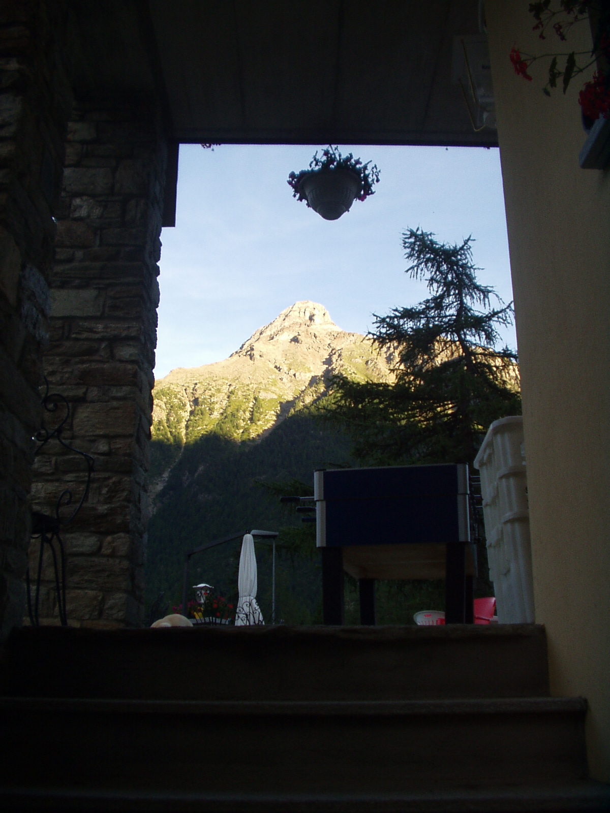
The path from Chez-Chenoux to Alpe Chardonney climbs rapidly through the forest covering the lower Valpelline slope in Bionaz, before opening onto the pastures of the broad Vertsan basin. The walk starts at Chez-Chenoux (1702 m). Trail no. 5 climbs steeply through the woodland with tight switchbacks in the forested section, before emerging onto open pastoral terrain. The route crosses the Comba di Vertsan basin — bounded by summits including Pic de Châtermontane, Monte Cervo and Mont de Crête Sèche — to reach the ruins of Alpe Chardonney (2519 m). The 810 m ascent over 4.6 km concentrates effort in the early woodland section. The E rating indicates no technical difficulty for fit hikers.
Aparcamiento
Galería de fotos
Photos are published immediately. JPG/PNG/WebP, max 6 MB.
Flora del sendero
Fauna que observar
AEditado y verificado por Andrea Rama
Fuente de datos: Catasto Sentieri Regione Autonoma VdA · Open data — DGR 899/2014
Última verificación:
Valpelline
Senderos relacionados
Mismo valle o rutas similares — más excursiones por descubrir.

Valpelline
Bionaz (Plan Praz) - Place Moulin
Upper Valpelline, Bionaz: an E-rated route toward a glacial objective over open terrain.

Valpelline
Chamin - Bivacco della Sassa
From Chamin (1,732 m) to the Bivacco della Sassa (2,964 m) in the quiet Valpelline: 7.1 km and 1,246 m of ascent.

Valpelline
Champillon - Rifugio Letey - Col Champillon
3.1 km · +643 m · E — from Champillon to Col Champillon (Valtournenche).

Valpelline
Chanté - Mont Saron
From Allein toward Valpelline across the panoramic ridge between the two valleys: an E-rated route over open pastures with views of the Gran San Bernardo.