
E
Val di Cogne
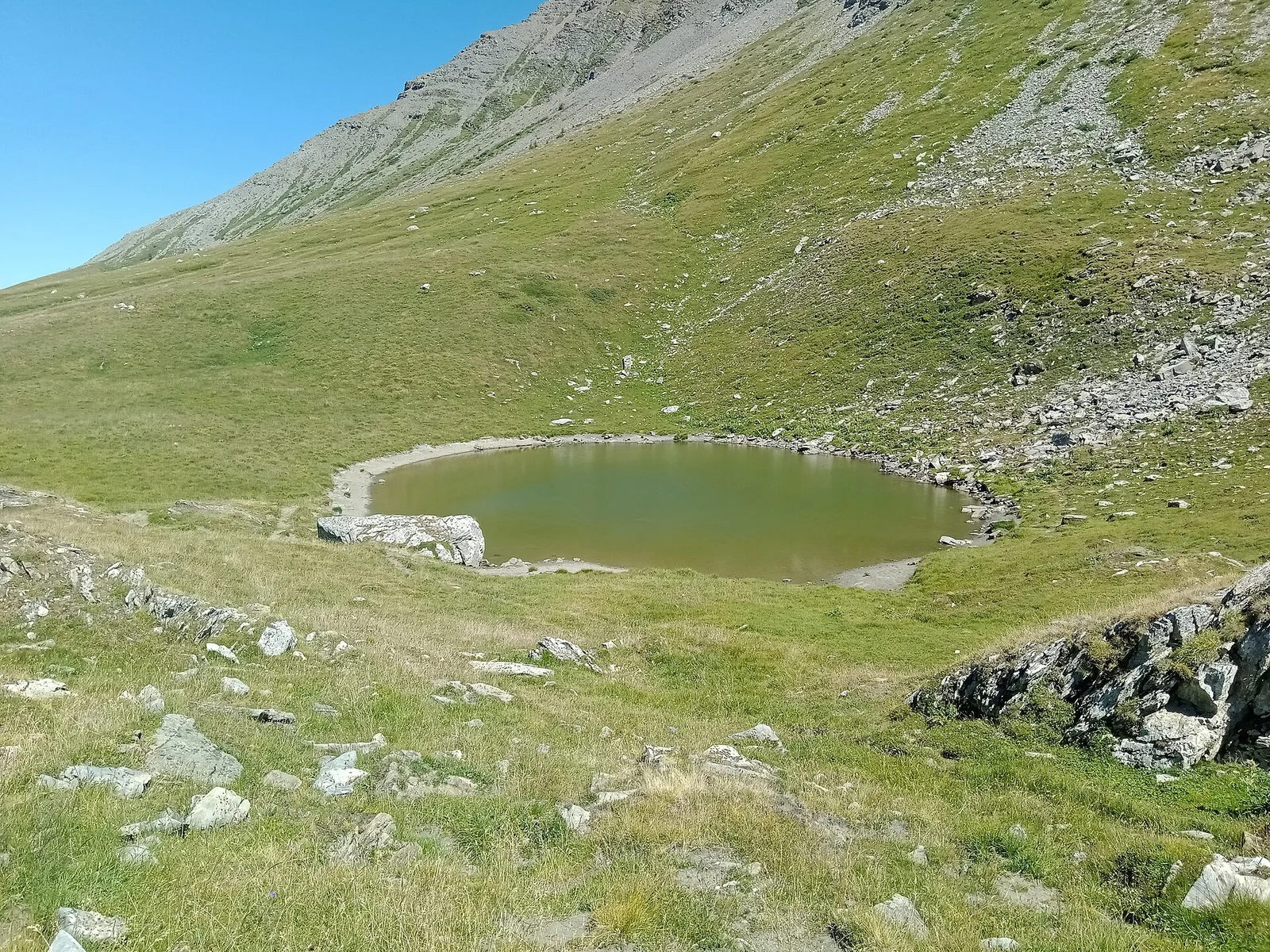
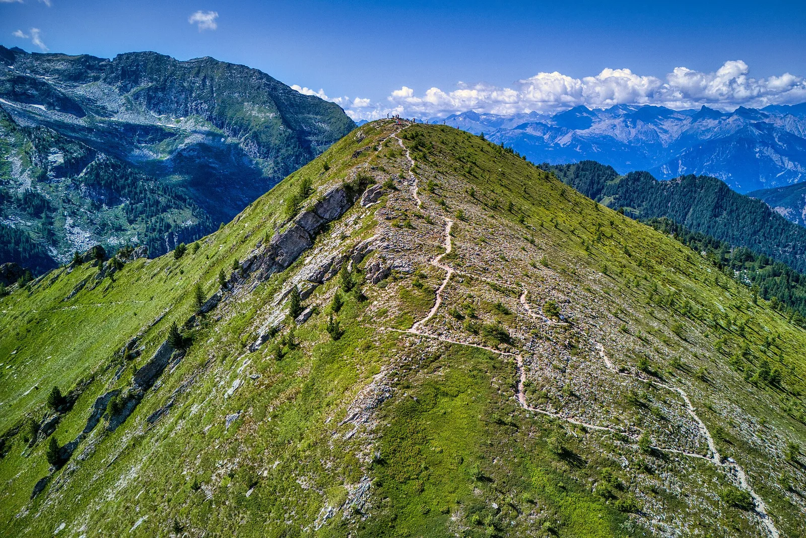
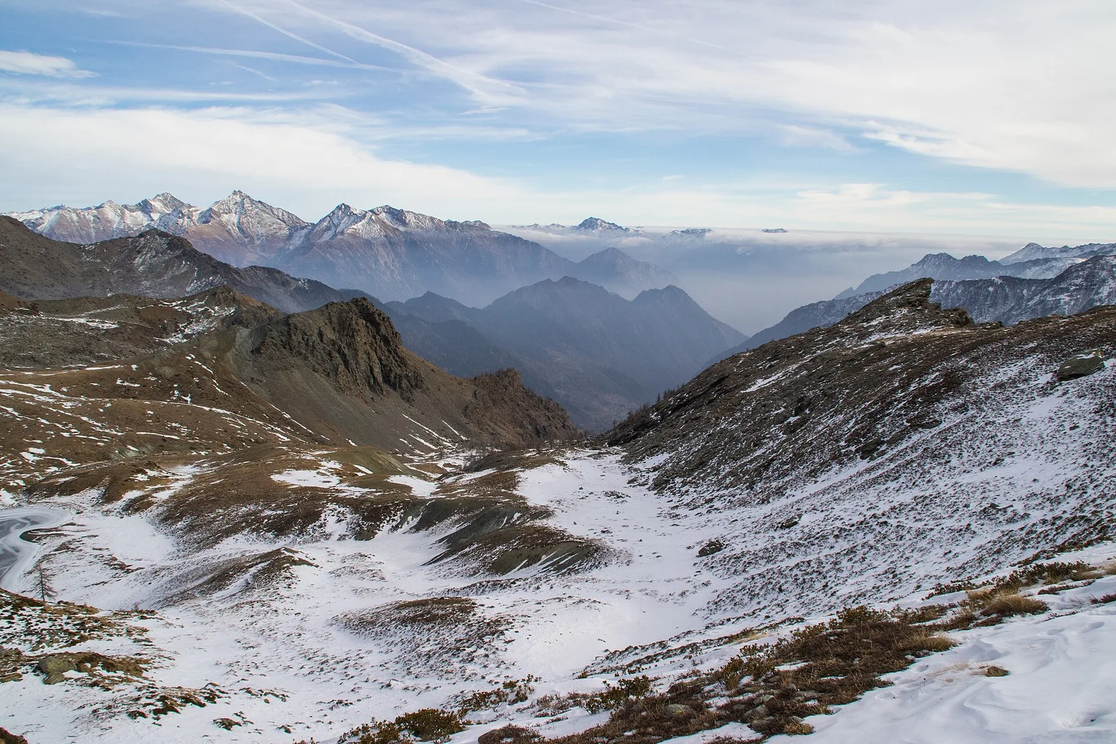
Arrivo impianto risalita Chamolé- Tête Noire
1.4 km · +497 m · E — from Arrivo impianto risalita Chamolé to Tête Noire (Lys Valley).
1.4 km+497 m1.5 h
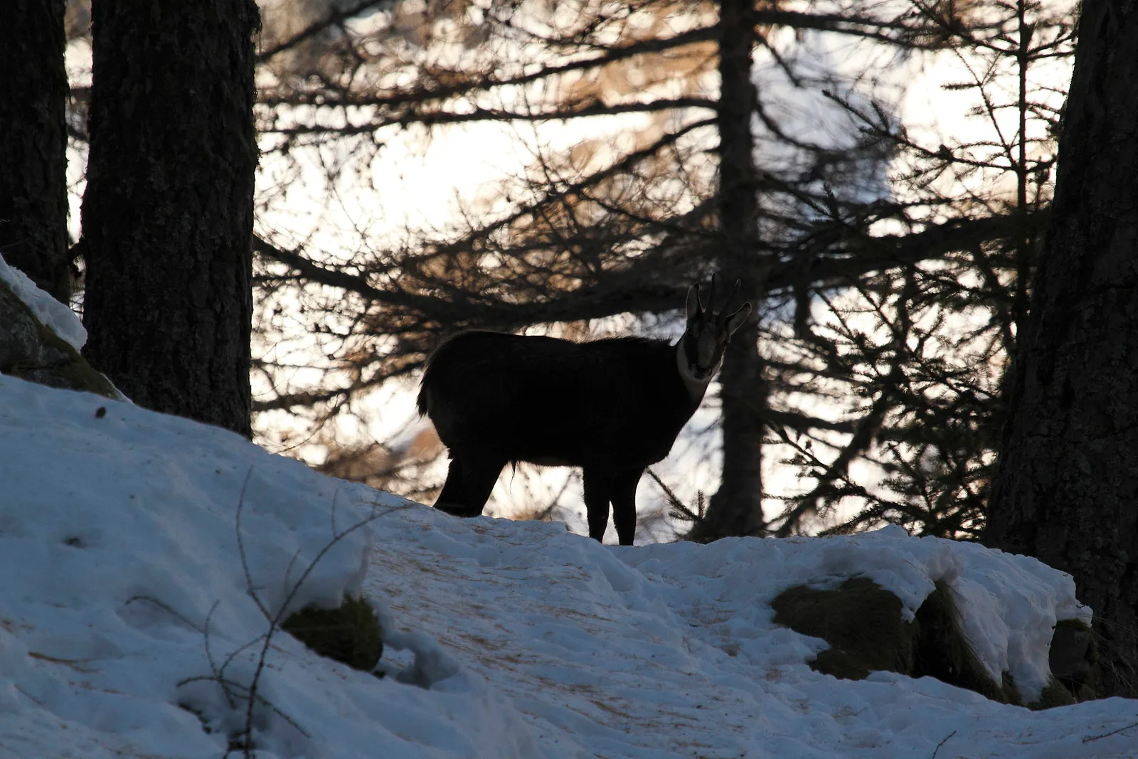
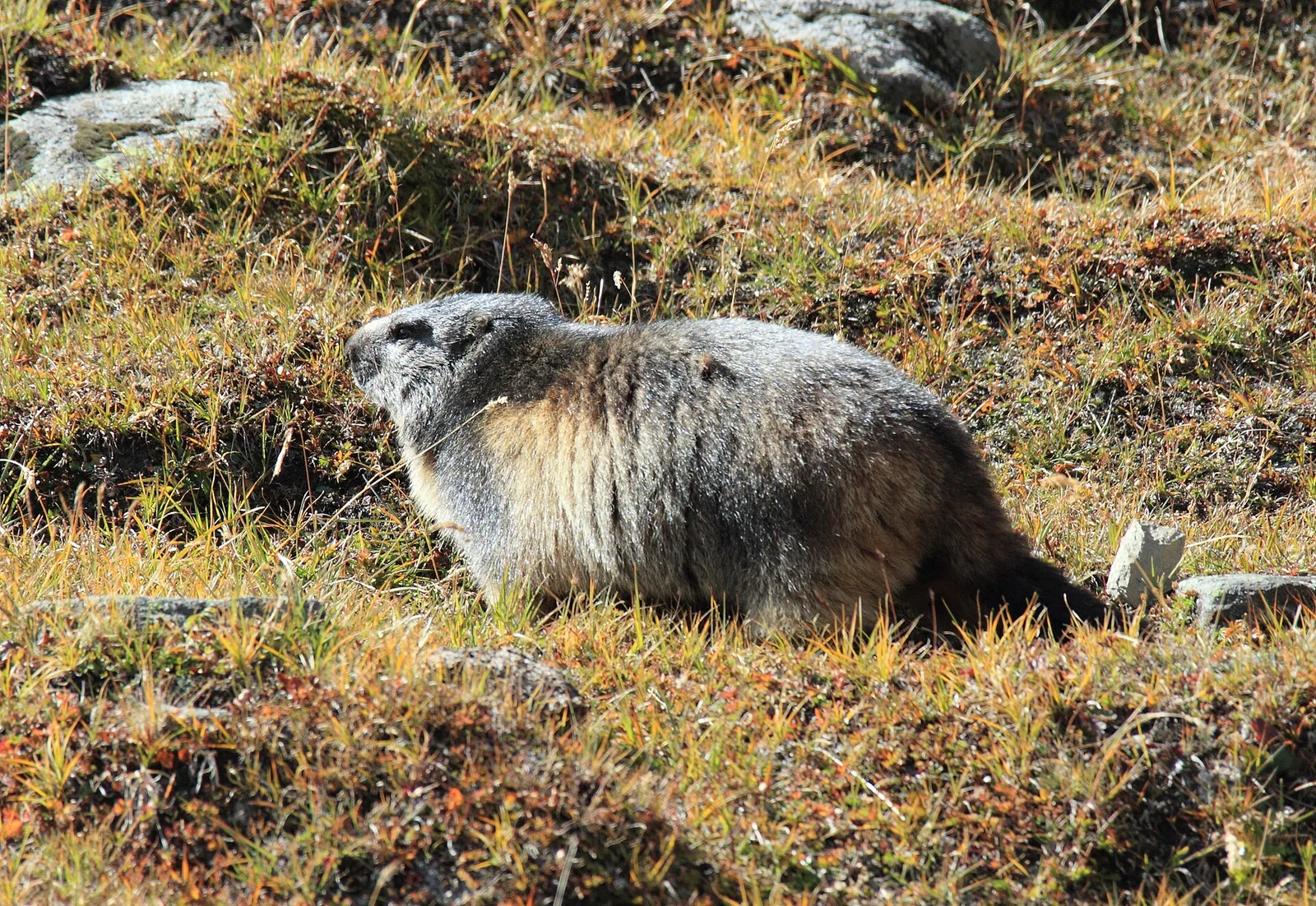
Where to spot
120 trails where Mountain hare is listed in flora/fauna: difficulty T–EE, elevation gain 0–1948 m.
120 · 0.8–14.3 km · +0–1948 m
Val di Cogne
1.4 km · +497 m · E — from Arrivo impianto risalita Chamolé to Tête Noire (Lys Valley).
Val di Rhêmes
2.9 km · +535 m · E — from Artalle to Chaussettaz (Great St Bernard Valley).
Valle centrale
7.7 km · +1065 m · EE — from Bellon to Tsa de la Comba (Valgrisenche).
Val di Cogne
3.1 km · +346 m · E — from Belvedere to Sentiero Natura (Lys Valley).
Val di Cogne
3.5 km descent from Bivacco Gontier (2266m) to Arpissonnet PNGP shelter (1996m): connector trail in Gran Paradiso National Park, July–August.
Val d'Ayas
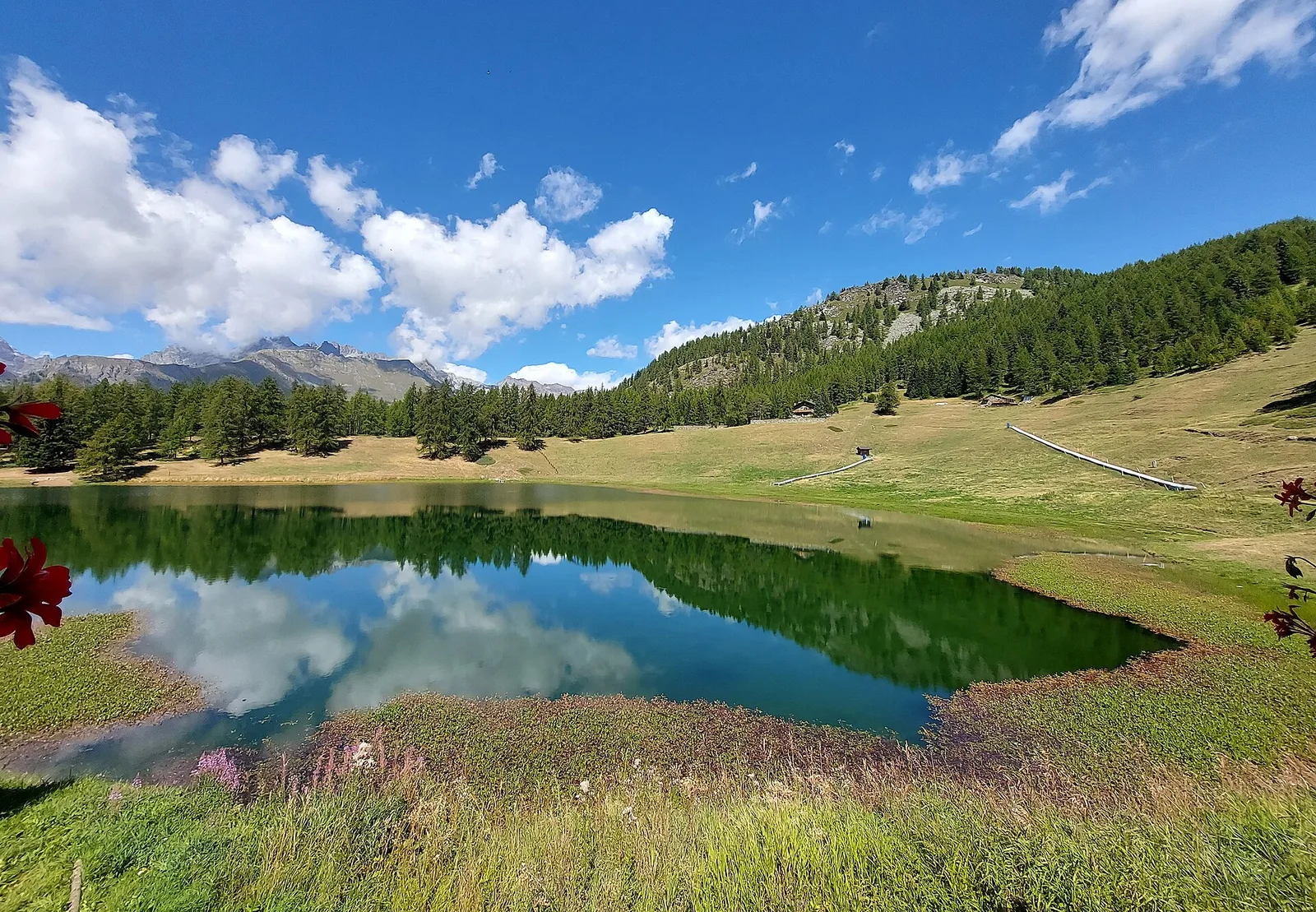
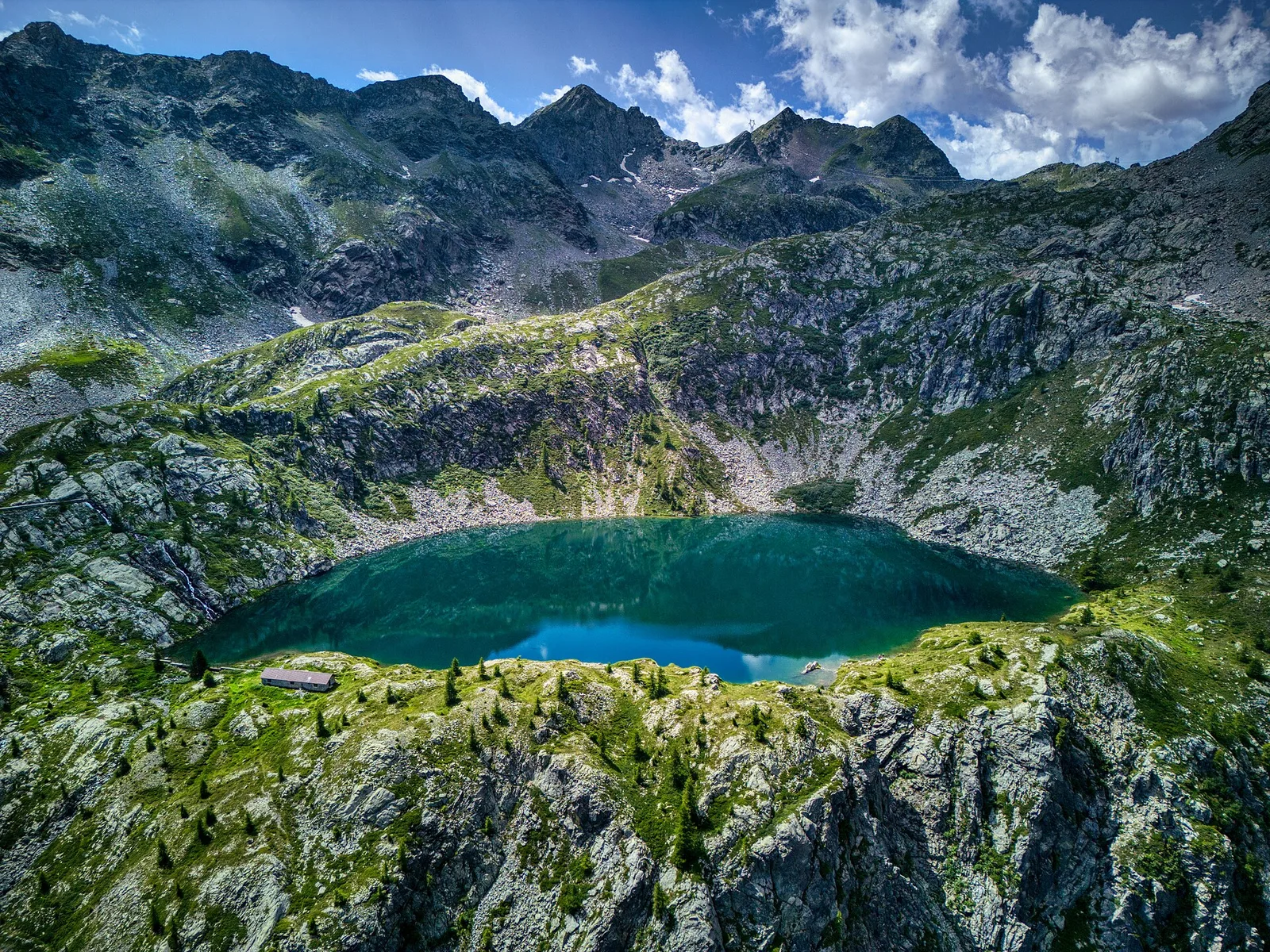
From Blanchard to the Lago Blu of Ayas (trail 7): 4.2 km, +575 m, E. The pool that mirrors Monte Rosa.
Val d'Ayas
Commune of Ayas: an EE climb in high-mountain terrain toward a panoramic high-altitude objective.

Valgrisenche
8 km · +678 m · E — from Borègne to Plontaz (Valtournenche).
Val di Rhêmes
2.7 km · +571 m · E — from Bruil to Casotto PNGP di Sort (Great St Bernard Valley).
Val di Rhêmes
2.6 km · +472 m · E — from Bruil to Chaussettaz (Great St Bernard Valley).

Val di Rhêmes
2.9 km · +551 m · E — from Carré to Chaussettaz (Great St Bernard Valley).

Valle centrale
6.3 km · +1313 m · E — from Chabodey to Croix du Folliet (La Thuile).
Valle centrale
4.5 km · +571 m · E — from Challancin to Col de Bard (La Thuile).
Valle centrale
9.1 km · +949 m · E — from Challancin to Col Fetita (La Thuile).
Valtournenche
2.2 km · +371 m · E — from Champtorné to Collet (Valpelline).
Val di Rhêmes
2.2 km · +508 m · E — from Chanavey to Chaussettaz (Great St Bernard Valley).

Valtournenche
4.6 km · +391 m · E — from Champtorné to Collet (Valpelline).
Valle centrale
5.4 km · +1018 m · EE — from Chardonney to Mont de Corquet (Lys Valley).
Valle di Champorcher
6.1 km · +770 m · E — from Chardonney to Rifugio Dondena (Valtournenche).
Valpelline
From Chez-Chenoux the trail quickly clears the forest belt and opens onto the Comba di Vertsan pastures, climbing to the ruins of Alpe Chardonney (2519 m) in the quiet upper Valpelline.
Val di Cogne
4.3 km · +660 m · E — from Cogne to Belvedere (Lys Valley).

Valle centrale
6.1 km · +974 m · E — from Combelin to Becca France (Central Valley).
Valle centrale
4.8 km · +1024 m · E — from Comboé (Comboué) to Becca di Nona (Cogne Valley).
Val d'Ayas
2.7 km · +674 m · E — from Corbet to Alpe Boussolaz (Central Valley).
Val d'Ayas
Val d'Ayas: a climb toward a panoramic high-altitude objective over open terrain.
Valle di Champorcher
8 km · +1073 m · E — from Covarey to Col de la Croix (Central Valley).
Val d'Ayas
2.8 km · +323 m · E — from Crest to Belvedere (Central Valley).
Bassa Valle
14.2 km · +1948 m · E — from Crest-Désot to Col de Bonze (Champorcher Valley).
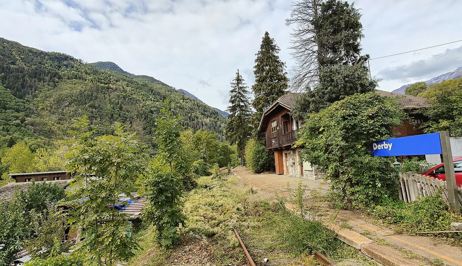
Valle centrale
5.2 km · +715 m · E — from Derby, Chiesa to Lazey (La Thuile).
Valle centrale
5.8 km · +1129 m · EE — from Dolonne to Mont-Chetif (Great St Bernard Valley).
Val Veny
14.3 km · +1234 m · E — from Dolonne to Rifugio Elisabetta (Great St Bernard Valley).
Valle di Champorcher
6.7 km · +739 m · E — from Dondena to Col Fenetre de Champorcher (Valtournenche).
Val di Cogne
8.6 km · +898 m · EE — from Epinel to Bivacco Gontier (Lys Valley).
Valtournenche
6 km · +719 m · E — from Etirol to Fenêtre d'Ersa (Valpelline).
Valle del Gran San Bernardo
4.6 km · +1164 m · E — from Etroubles to Grande Tête (Central Valley).
Valsavarenche
5.2 km · +966 m · E — from Fenille to Colle Becca Plana (Ayas Valley).

Valle del Lys
8.6 km · +1458 m · EE — from Fontainemore to Col de Chardon (Lys Valley).
Valle del Lys
7.8 km · +1429 m · E — from Capoluogo to Col de Gragliasca (Lys Valley).
Valle del Lys
6.2 km · +1631 m · E — from Capoluogo to Pointe Prial (Lys Valley).
Valle del Lys
8.8 km · +1503 m · E — from Fontainemore to Colle della Barma d'Oropa (Lys Valley).
Valle del Lys
8.8 km · +1510 m · E — from Capoluogo to Colle della Barma d'Oropa (Lys Valley).
Valle centrale
5.8 km · +766 m · E — from Fonteil to Croce di Fana (Rhêmes Valley).
Valle centrale
5.6 km · +1032 m · E — from Grand Haury to Cou (Lys Valley).
Valle del Lys
In the commune of Brusson, Val d'Ayas: an E-rated route among hamlets and pastures with characteristic valley views.
Valle del Lys
From the medieval castle ruins at Graines (1,398 m) to the Col de Frudière (2,266 m) in Val d'Ayas: 7.7 km blending history and open alpine landscape.
Valle del Lys
Upper Val d'Ayas, Brusson: a route through high-altitude meadows and rock.
Valtournenche
4.9 km · +517 m · E — from Confine comunale La Magdeleine - Chamois to Col Cheneil (Central Valley).
Valtournenche
In the commune of Torgnon, Valtournenche: an E-rated route through hamlets, forest and pastures with panoramic views.
Valtournenche
In the commune of Torgnon, Valtournenche: a panoramic route through forest, pastures and hamlets of the Aosta Valley mid-mountain.
Valgrisenche
7.6 km · +1281 m · E — from La Béthaz to Rifugio degli Angeli al Morion (Valtournenche).
Val di Cogne
From La Nouva (1,300 m) through the Nomenon alp to Bivacco Gontier (2,302 m) in the Gran Paradiso National Park: 6.7 km, 1,020 m ascent.
Val Ferret
3.1 km · +774 m · E — from La Palud to Pavillon (Great St Bernard Valley).
Val Ferret
2.4 km · +774 m · E — from La Palud to Pavillon (Great St Bernard Valley).
Val Ferret
6 km · +829 m · E — from La Remisa to Pas-Entre-Deux-Sauts (Great St Bernard Valley).
Val Ferret
3 km · +536 m · E — from La Remisa to Gioè damon (Great St Bernard Valley).
Valle di Champorcher
3.5 km · +770 m · E — from Le Crin to Grand Bellalanaz (Lys Valley).

Valle di Champorcher
5.2 km · +828 m · EE — from Le Crin to La Rossaz (Lys Valley).

Valle di Champorcher
5.9 km · +804 m · EE — from Le Crin to La Tramouaille de la Rossaz (Lys Valley).
Val di Cogne
3.6 km · +828 m · E — from Lillaz to Grand Crot (Lys Valley).
Valtournenche
4 km · +623 m · E — from Loz (parcheggio) to Gran Balconata del Cervino (Central Valley).
Valgrisenche
2.3 km · +650 m · E — from Melignon to Féleumaz (Central Valley).
Valle centrale
6.1 km · +1274 m · E — from Miserègne to Bec Tolomon (Lys Valley).
Valle di Champorcher
9.8 km · +1837 m · EE — from Monteil to Le Give (Valtournenche).
Valle del Lys
3.3 km · +668 m · E — from Niel to Col de Chaparelle (Great St Bernard Valley).

Valle del Lys
3.7 km · +663 m · E — from Niel to Colle della Mologna Piccola (Great St Bernard Valley).
Valle del Lys
5 km · +853 m · E — from Niel to Lago di Suckie (Great St Bernard Valley).
Valle del Lys
4.3 km · +840 m · E — from Ondro Verdebio to Bronne (Champorcher Valley).
Val di Rhêmes
4.5 km · +581 m · E — from Oreiller to Casotto PNGP di Sort (Great St Bernard Valley).
Valle centrale
5.9 km · +1385 m · E — from Oveillan to Tsa de Metz (Valgrisenche).
Valtournenche
3 km · +504 m · E — from Pâquier to Servaz (Central Valley).
La Thuile
4.5 km · +643 m · E — from Parcheggio Area camper to Souches (Lys Valley).
Val d'Ayas
Upper Val d'Ayas, Brusson: a route toward a panoramic objective at high altitude.
Val di Cogne
4.8 km · +398 m · E — from Pila to Plan de l'Eyvie (Lys Valley).

Valle del Lys
5.3 km · +815 m · E — from Plan Coumarial to Rifugio Coda (Lys Valley).
Valtournenche
4.2 km · +720 m · E — from Plan de la Glaea to Illiaz - Perron (Central Valley).
Val Ferret
4.8 km · +823 m · E — from Plan Ponquet to Mont-Chetif (Great St Bernard Valley).
Valsavarenche
3.6 km · +327 m · E — from Pont to Meyes desot (Ayas Valley).
Val Veny
2.9 km · +283 m · EE — from Pont Combal to Ghiacciaio del Miage quota 2260 (Great St Bernard Valley).
Val Veny
3.1 km · +235 m · E — from Pont Combal to Rifugio Elisabetta (Great St Bernard Valley).
Valpelline
7.9 km · +832 m · E — from Praz to Bivacco Reboulaz (Valpelline).
Valtournenche
2.1 km · +506 m · E — from Praz to La Fenetre (Valpelline).
Val Ferret
2.3 km · +421 m · EE — from Pré de Pascal to Mont-Chetif (Great St Bernard Valley).
Valle del Gran San Bernardo
6.2 km · +904 m · E — from Prenoud to Tête du Bois (Great St Bernard Valley).
Valle del Lys
6.6 km · +1335 m · E — from Quinçod to Merendiou (Ayas Valley).
Val di Cogne
5.1 km · +1055 m · EE — from Rifugio Arbolle to Mont-Emilius (Cogne Valley).
Valgrisenche
6.1 km · +274 m · E — from Rifugio Benevolo to Incrocio Alpe Goletta (Great St Bernard Valley).
La Thuile
9 km · +1264 m · E — from Joux to Colle passo Alto (Lys Valley).
Val Veny
4 km · +278 m · E — from Rifugio Elisabetta to Tsa de la Lex Blanches (Great St Bernard Valley).

Valle centrale
3 km · +715 m · E — from Robbio to Grand Bellalanaz (Lys Valley).
Valpelline
2.9 km · +570 m · E — from Ru to Plan Faudery (Valpelline).
Valle centrale
From Runaz (839 m) to the Alpage du Glacier (2163 m): 1635 m of ascent through forest, pastures and open alpine grassland, one of the most demanding routes in the Valdigne.
Val d'Ayas
From Saint-Jacques, the last village of Val d'Ayas, a climb to Col de Nannaz at 2,770 metres, on the ridge dividing Ayas from the neighbouring valleys.
Valle di Champorcher
2.5 km · +542 m · E — from Strada Dondena to Col Lago Bianco (Valtournenche).

Valle di Champorcher
0.8 km · +258 m · EE — from Strada Dondena to Col Terre Rousse (Valtournenche).
Valle di Champorcher
3.4 km · +478 m · E — from Strada Dondena to Raty desot (Valtournenche).
Valle del Lys
In the commune of Brusson, Val d'Ayas: a route among hamlets and alpine pastures on the sunny slope with valley views.
Valle del Lys
In the commune of Brusson, Val d'Ayas: a mid-altitude route between hamlets and wooded areas of the slope.
Valle centrale
5.2 km · +1065 m · E — from S. R. Valsavarenche to Mont Blanc (Lys Valley).
Valle centrale
5.6 km · +1100 m · E — from Strada regionale per Arpy to Croix du Folliet (Central Valley).
Valle centrale
11.7 km · +1707 m · E — from Stradina Chateau de Quart to Croce di Fana (Rhêmes Valley).
Valgrisenche
5.5 km · +495 m · E — from Surrier to Rifugio Bezzi (Valtournenche).
Valle del Lys
7.5 km · +1317 m · EE — from Sassa to Rifugio Coda (Central Valley).
Valle del Lys
8.7 km · +0 m · E — from Rifugio Coda to Rifugio della Barma (Lys Valley).
Valle del Lys
12.7 km · +1425 m · E — from Capoluogo to Crest (Champorcher Valley).
Val d'Ayas
11.4 km · +1165 m · E — from Crest to Rifugio Grand Tournalin (Central Valley).
Valle di Champorcher
7.1 km · +0 m · E — from Rifugio Dondena to Capoluogo (Valtournenche).
Val di Rhêmes
3.7 km · +390 m · E — from Thumel to Rifugio Benevolo (Great St Bernard Valley).
Val di Cogne
In the Val di Cogne, Aymavilles: an E-rated climb through forest and alpine pastures in the Gran Paradiso National Park.
Valle del Lys
6.8 km · +1156 m · E — from Tzendelabò to Colle della Vecchia (Great St Bernard Valley).
Valgrisenche
4.2 km · +582 m · E — from Valgrisenche to Arp Vieille (Valtournenche).
Valle di Champorcher
7.5 km · +1421 m · E — from Varesa to Lago di Leseney (Champorcher Valley).
Valle centrale
4.8 km · +719 m · EE — from Verrogne to Becca France (Central Valley).
Valle di Champorcher
7 km · +910 m · E — from Veulla to Rifugio Barbustel (Central Valley).
Valle di Champorcher
7.2 km · +1020 m · E — from Veulla to Col du Lac Blanc (Central Valley).

Val di Cogne
In the Val di Cogne, Aymavilles: an E-rated climb toward an objective in the Gran Paradiso National Park.

Val di Cogne
From Vieyes, trail no. 5 climbs through Val di Cogne forest and pastures to the Bivacco Mario Gontier (2302 m) on the Grand Nomenon alp: 1167 m of ascent in quiet surroundings.
Valle centrale
A steep climb from Vieyes to Col de Becca Plana, at 2,266 metres: from the valley floor to the high pastures in just under five kilometres.
Valle del Lys
1.8 km · +241 m · E — from Weissmatten to Colle di Garda (Champorcher Valley).
Valle del Lys
3.5 km · +533 m · E — from Weissmatten to Passo Frudière (Champorcher Valley).
Valle del Lys
4 km · +1011 m · E — from Zer Trino to Passo Frudière (Champorcher Valley).