Strada per Estoul - Col Ranzola
3.4 km
+294 m
−0 m
1.5 h
Nivel físico
Mapa y ruta
Traza GPX — verifica sobre el terreno antes de caminar
Descripción
Puntos clave
Salida
Strada per Estoul · 1884 m
Llegada
Col Ranzola · 2176 m
Sendero
S21
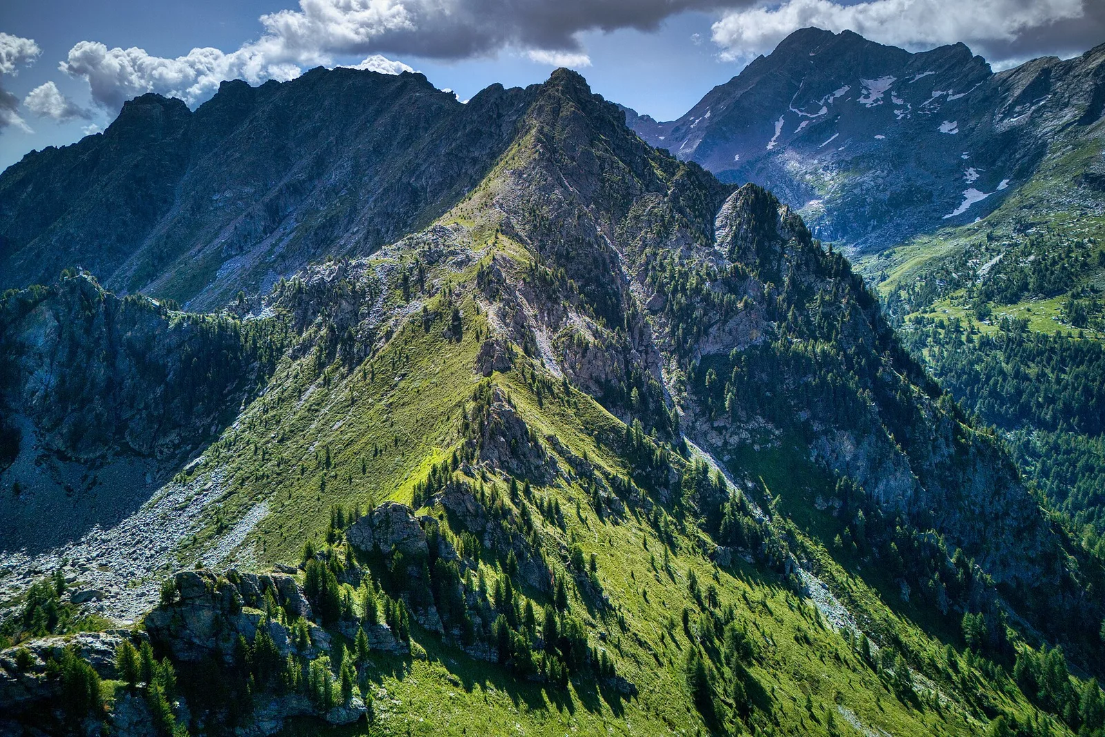
The trail from Estoul (1884 m) to Col Ranzola (2176 m) combines easy alpine walking with a remarkable piece of literary history. Covering 3.4 km with 294 m of ascent, the path climbs gently through larch meadows and open pastures above the Brusson valley. The gradient is steady and well-marked throughout, making it suitable for walkers of all abilities. At the col, a metal plaque commemorates the passage of Leo Tolstoy in June 1857, when the young Russian writer crossed this saddle during his European travels. The view from the top extends toward the Lys valley and the Monte Rosa massif, rewarding even the most modest effort with a genuinely alpine panorama.
Aparcamiento
Galería de fotos
Photos are published immediately. JPG/PNG/WebP, max 6 MB.
Flora del sendero
Fauna que observar
AEditado y verificado por Andrea Rama
Fuente de datos: Catasto Sentieri Regione Autonoma VdA · Open data — DGR 899/2014
Última verificación:
Valle del Lys
Senderos relacionados
Mismo valle o rutas similares — más excursiones por descubrir.

Valle del Lys
Anello dei Gemelli della Mologna
8.9 km · +996 m · EEA — from Niel to Niel (Great St Bernard Valley).

Valle del Lys
Balmeto - Leck Albezò
1.2 km · +287 m · E — from Balmeto to Leck Albezò (Champorcher Valley).

Valle del Lys
Bino - Passo di Valnera
4.5 km · +1280 m · E — from Bino to Alpe Jatza (Champorcher Valley).

Valle del Lys
Cascate di Niel
0.6 km · +80 m · E — from Start 7B to Cascate di Niel (Great St Bernard Valley).