
EE
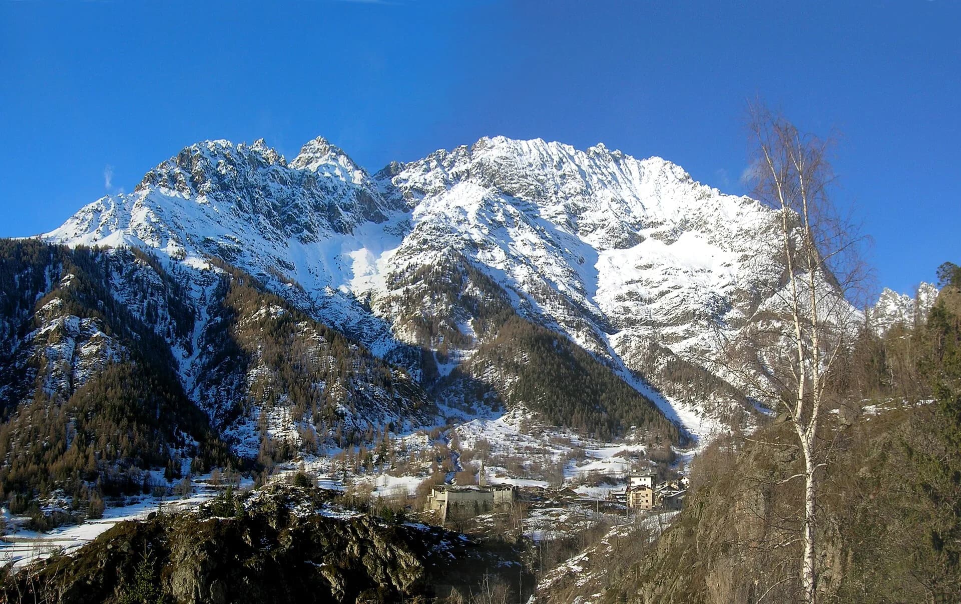
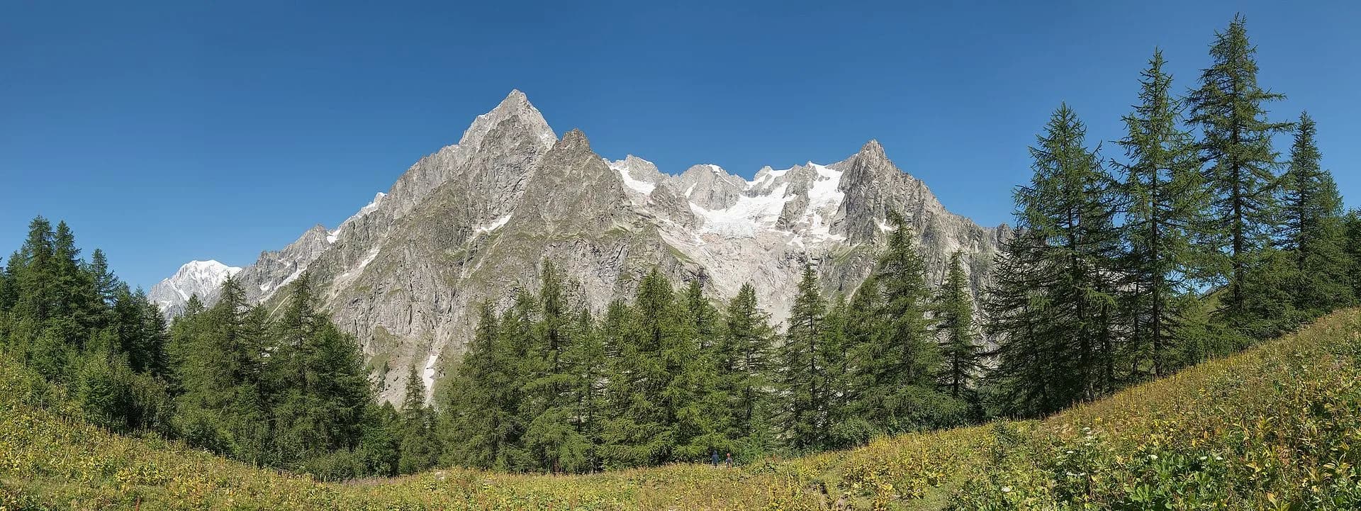
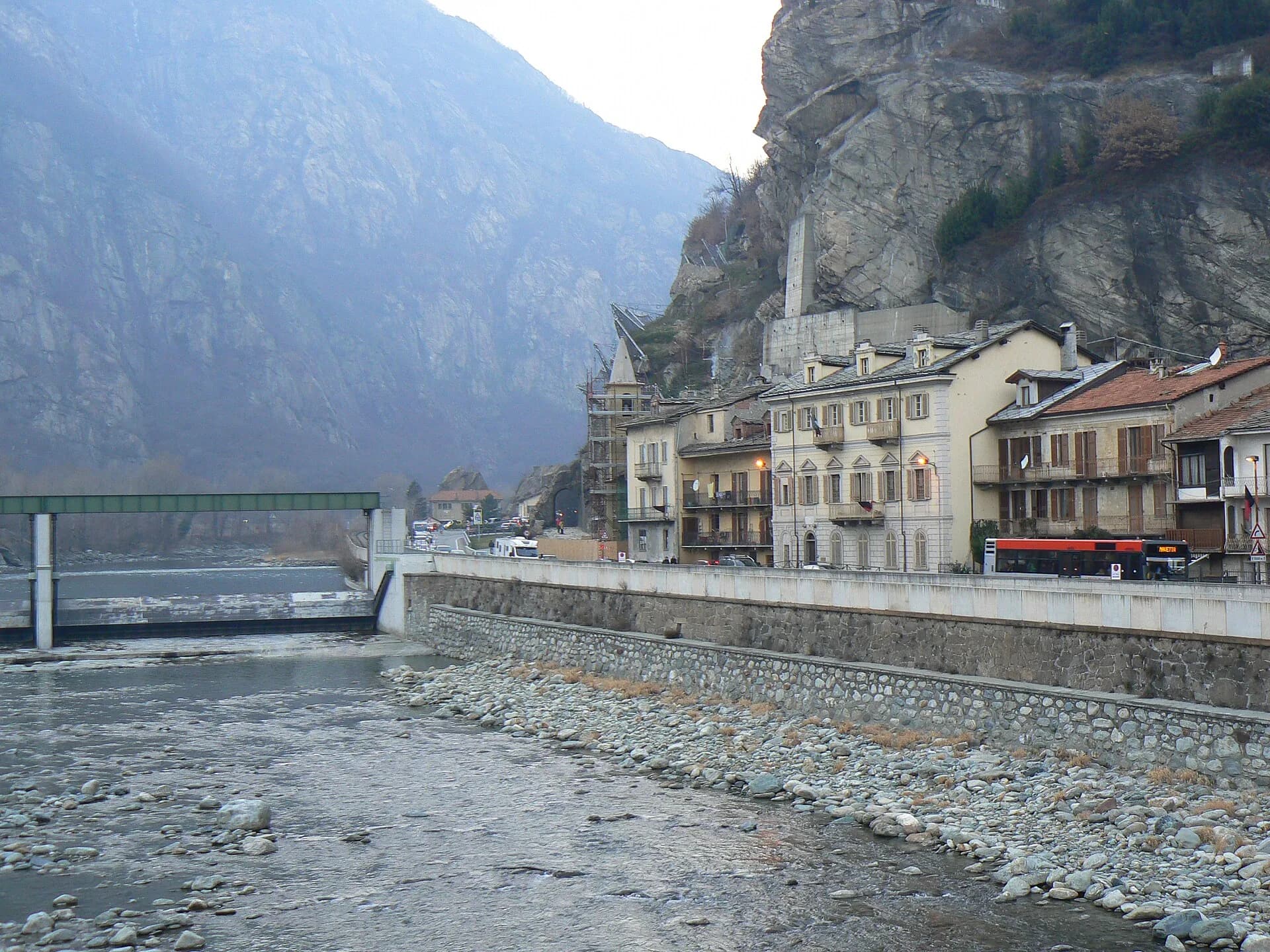
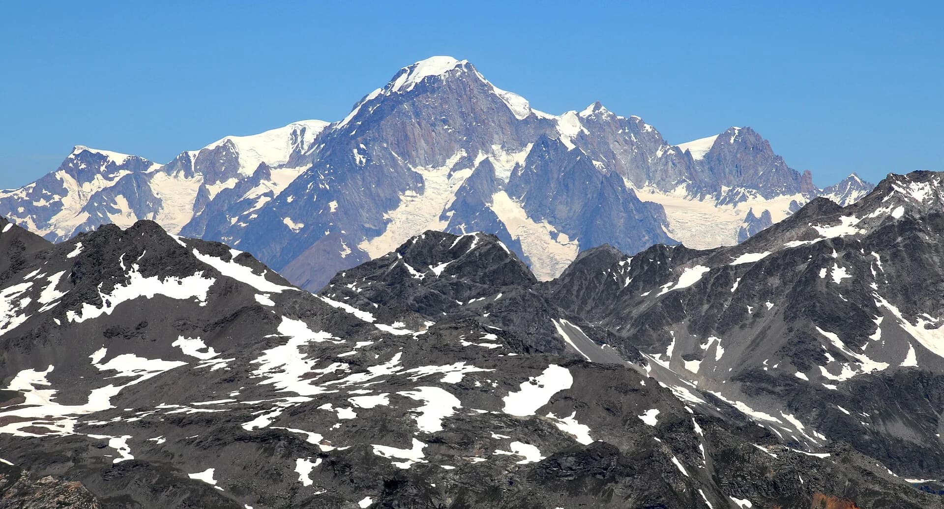
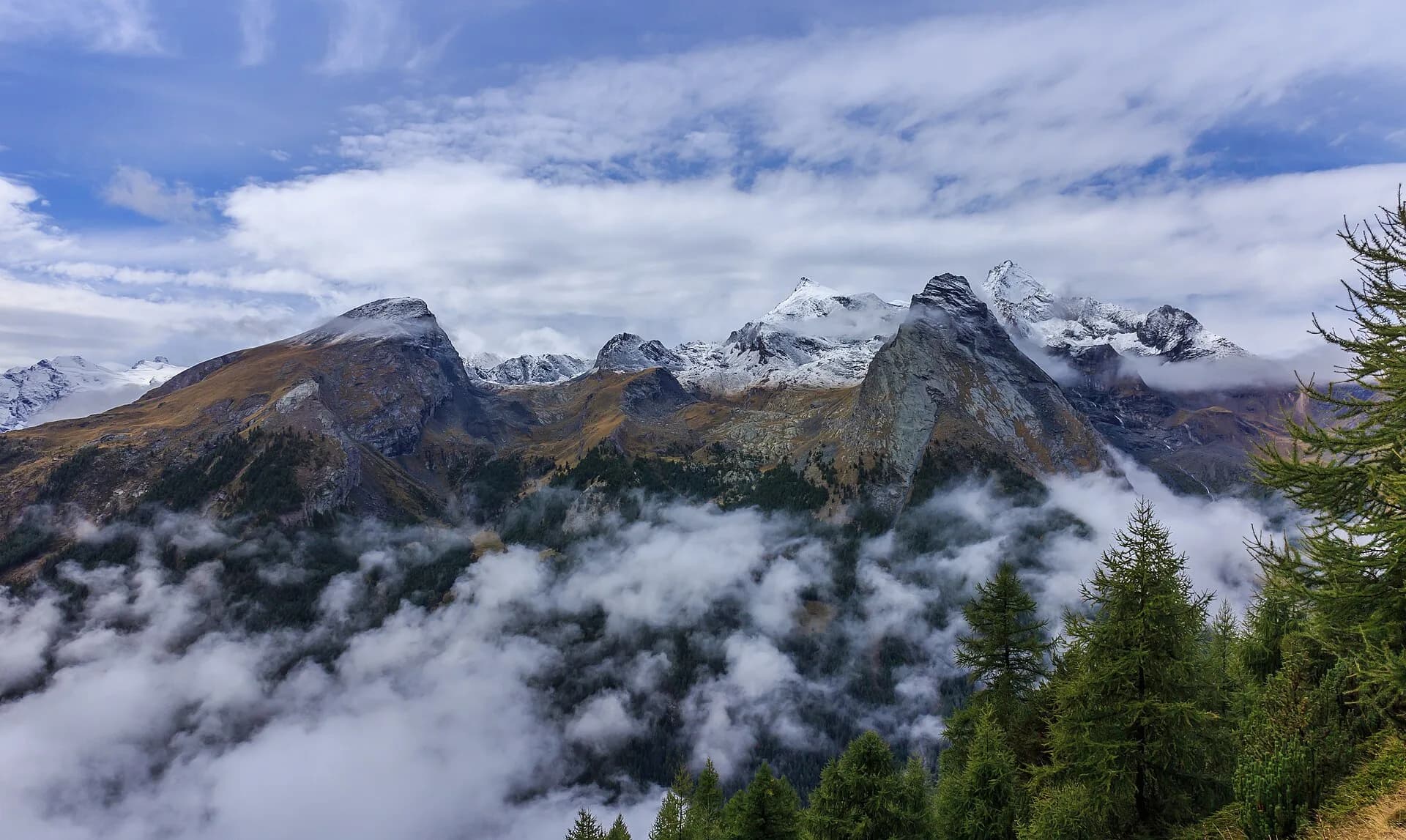
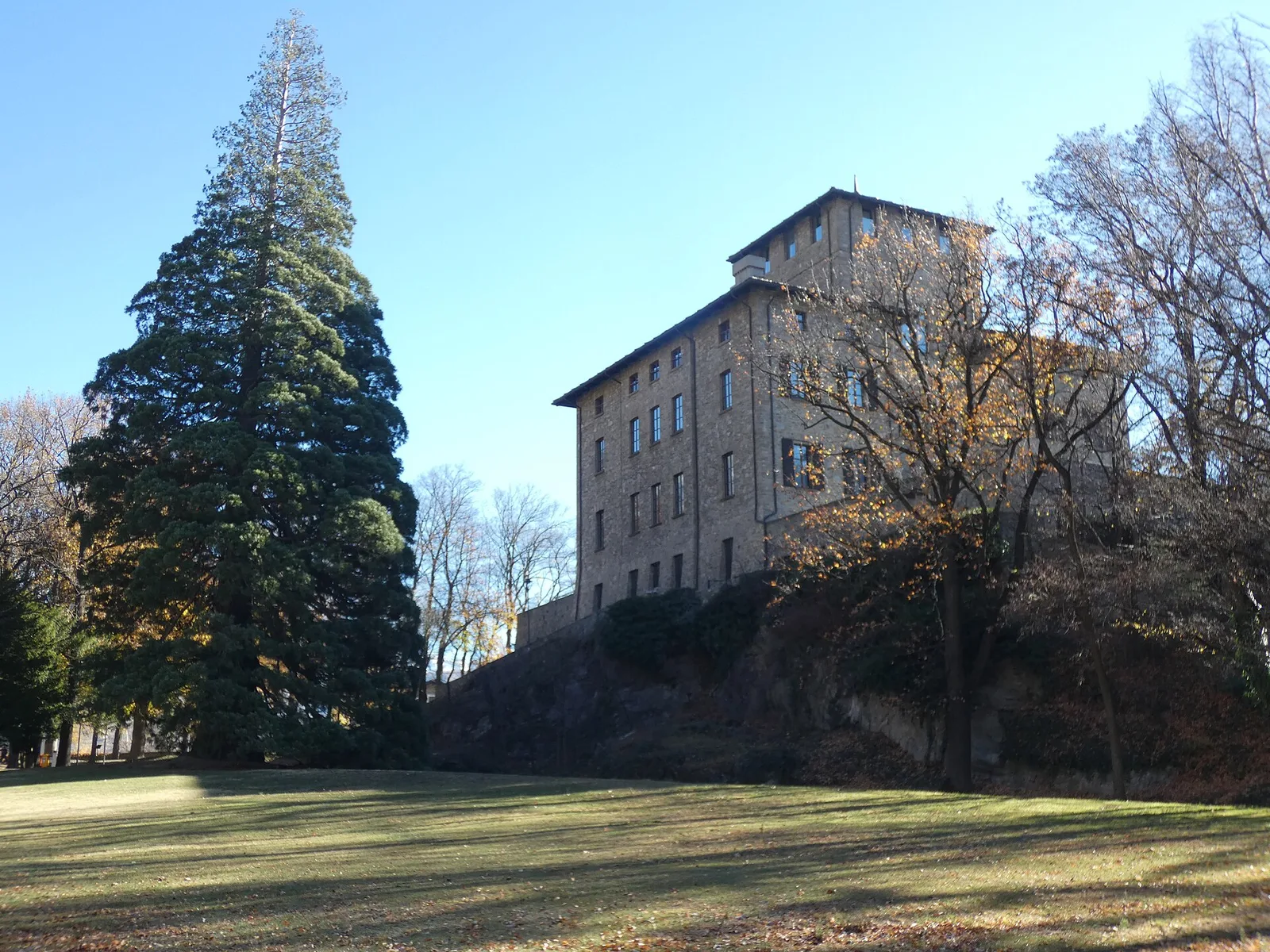
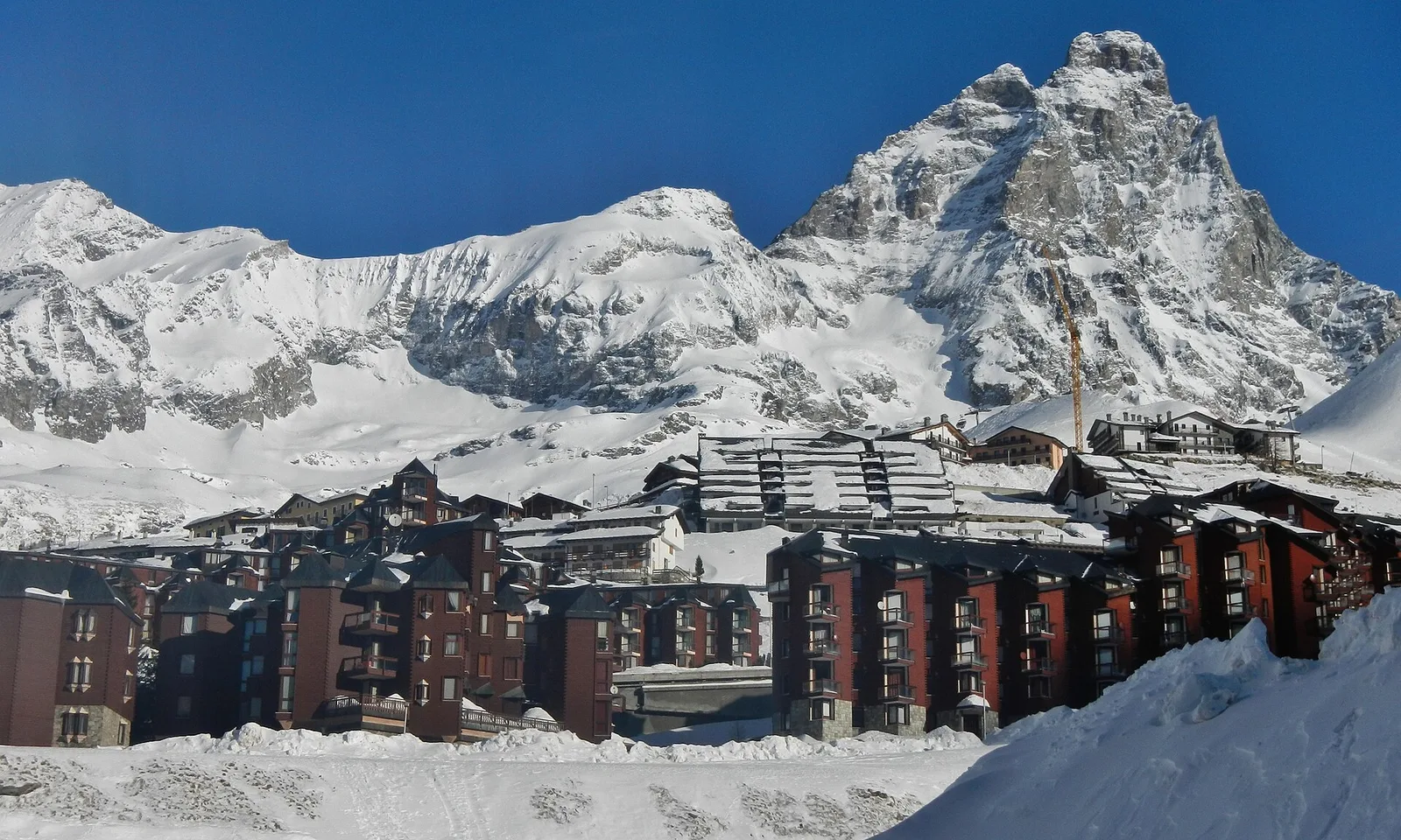
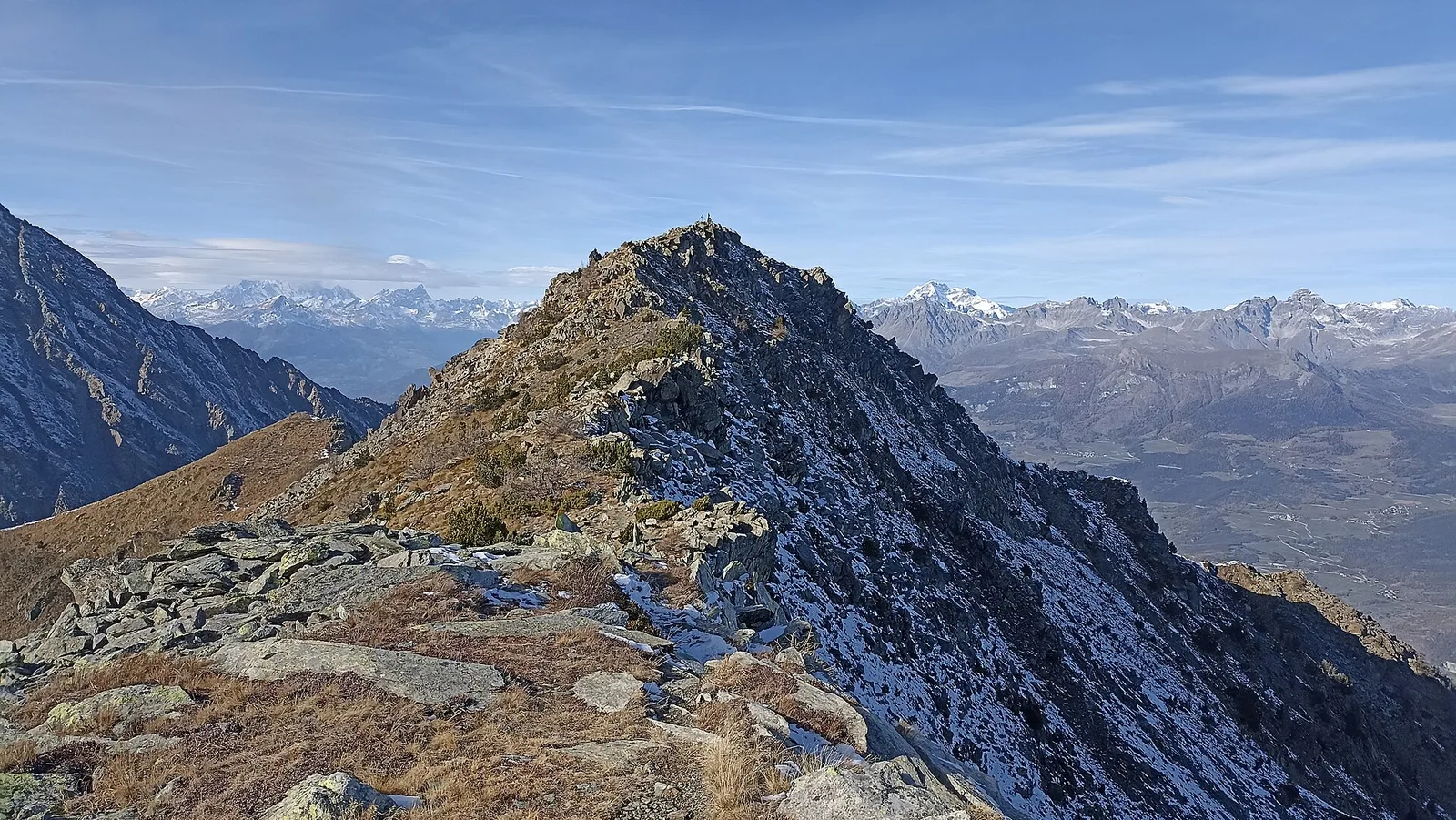
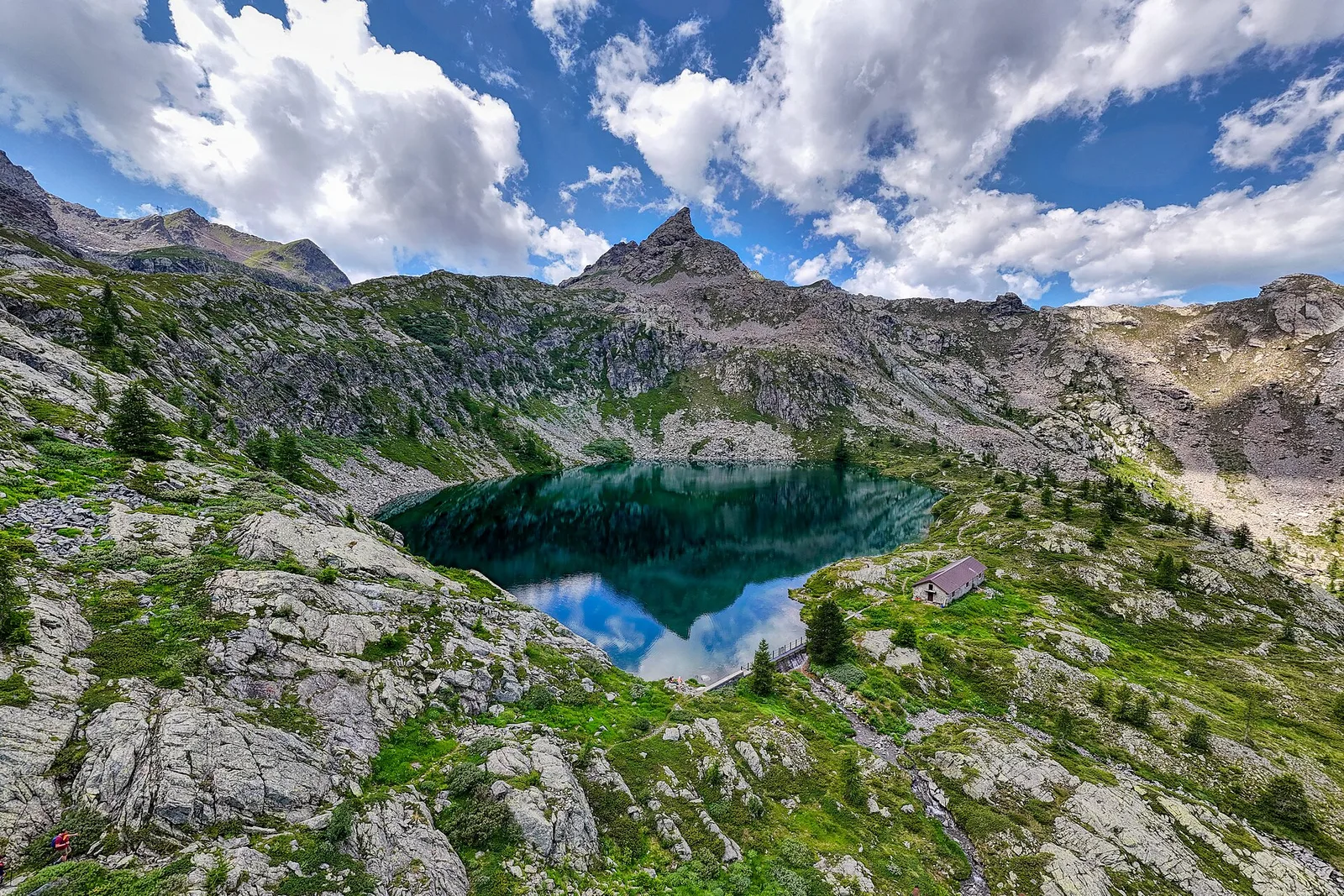
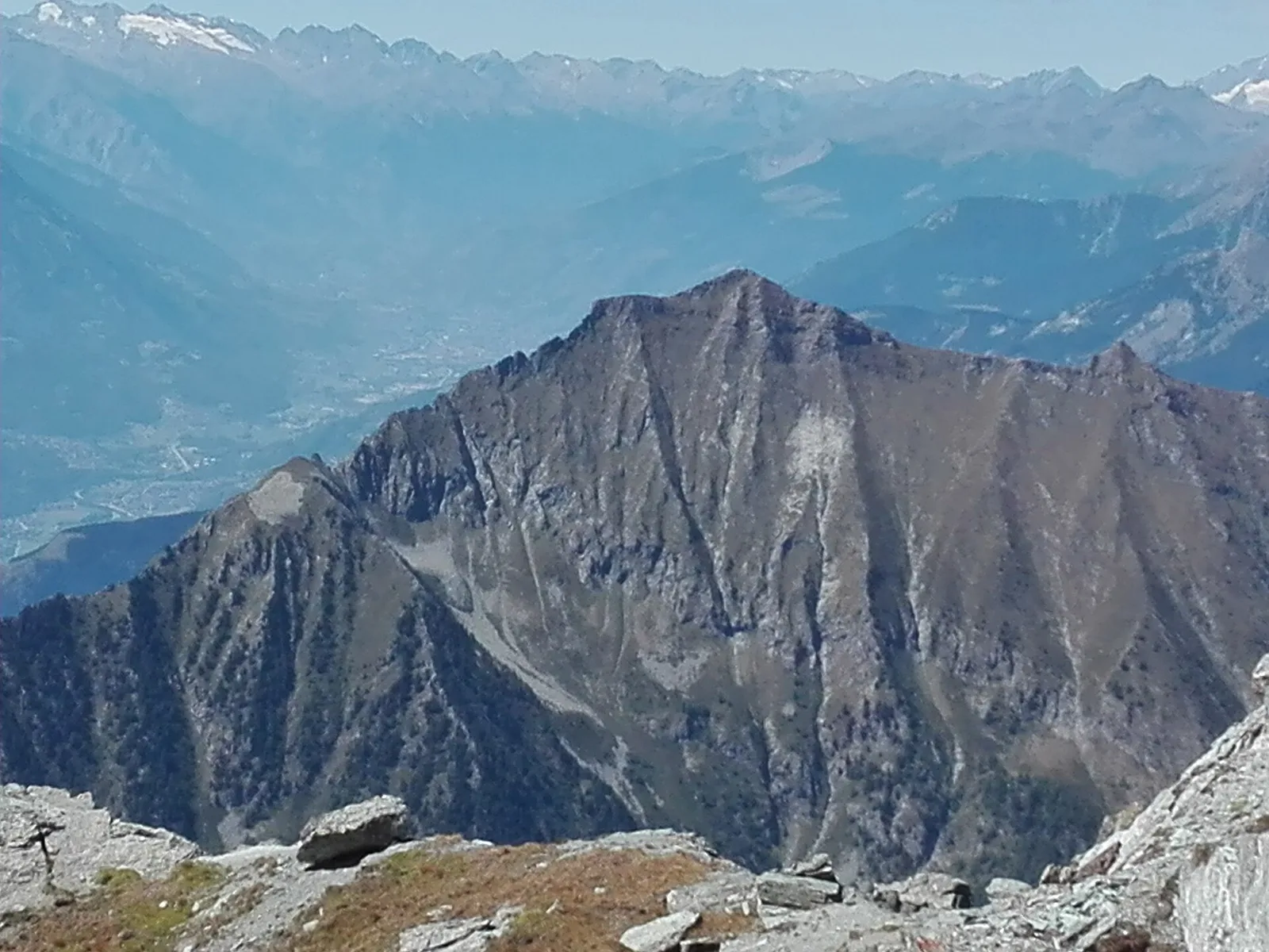
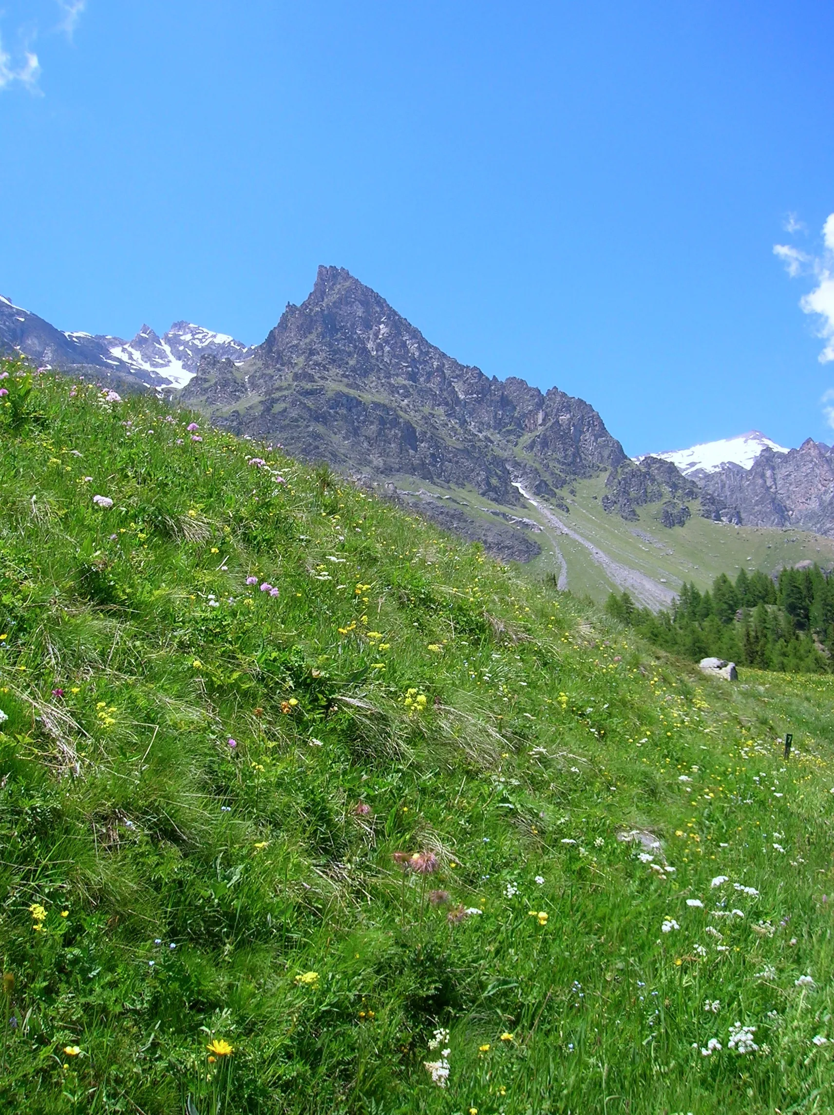
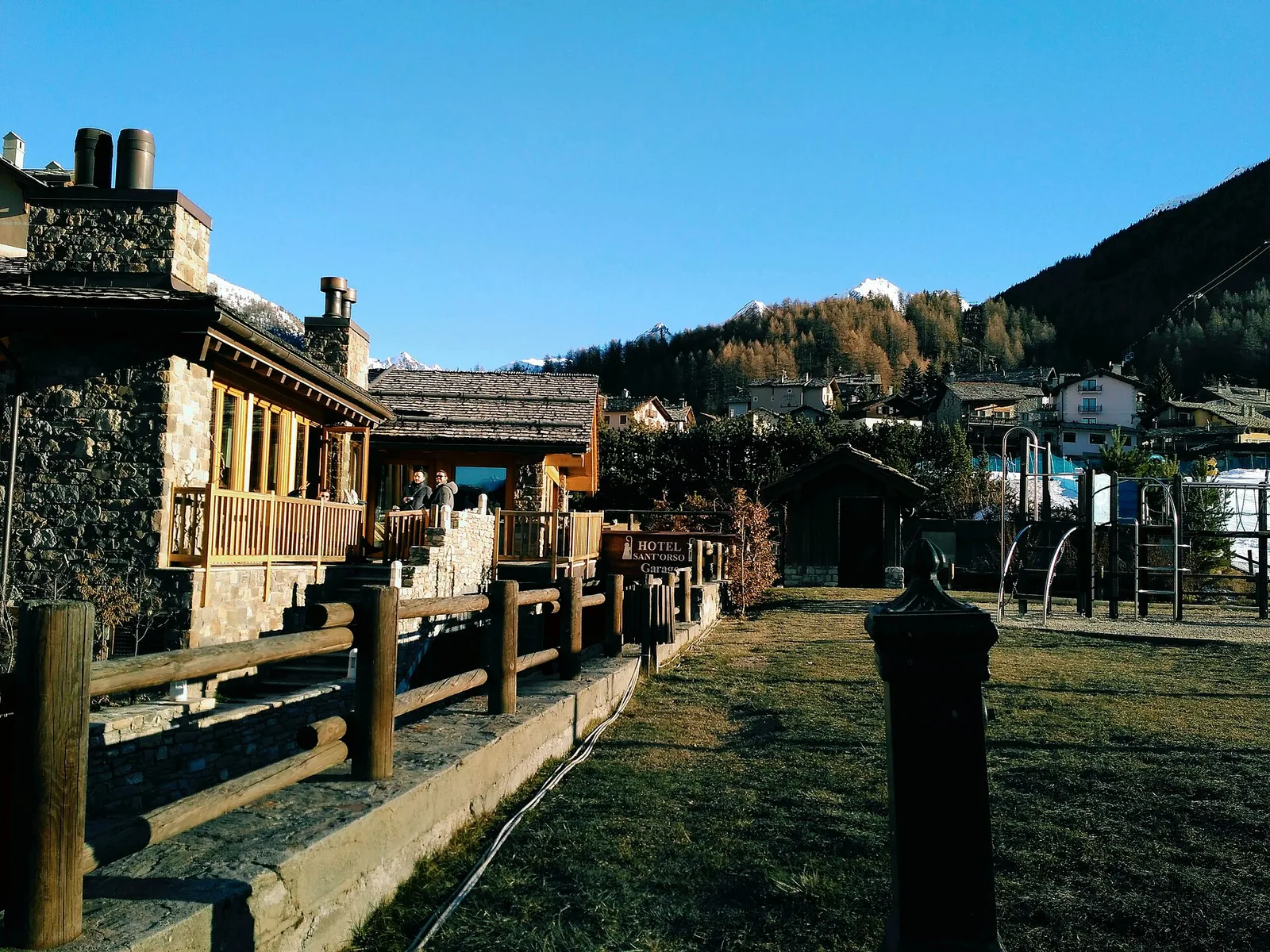
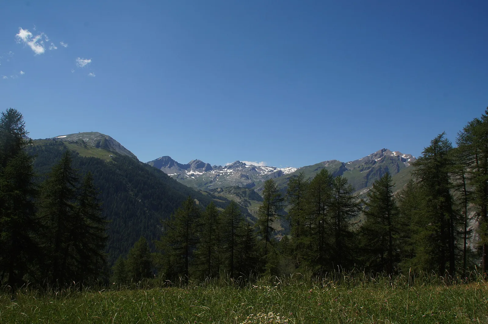
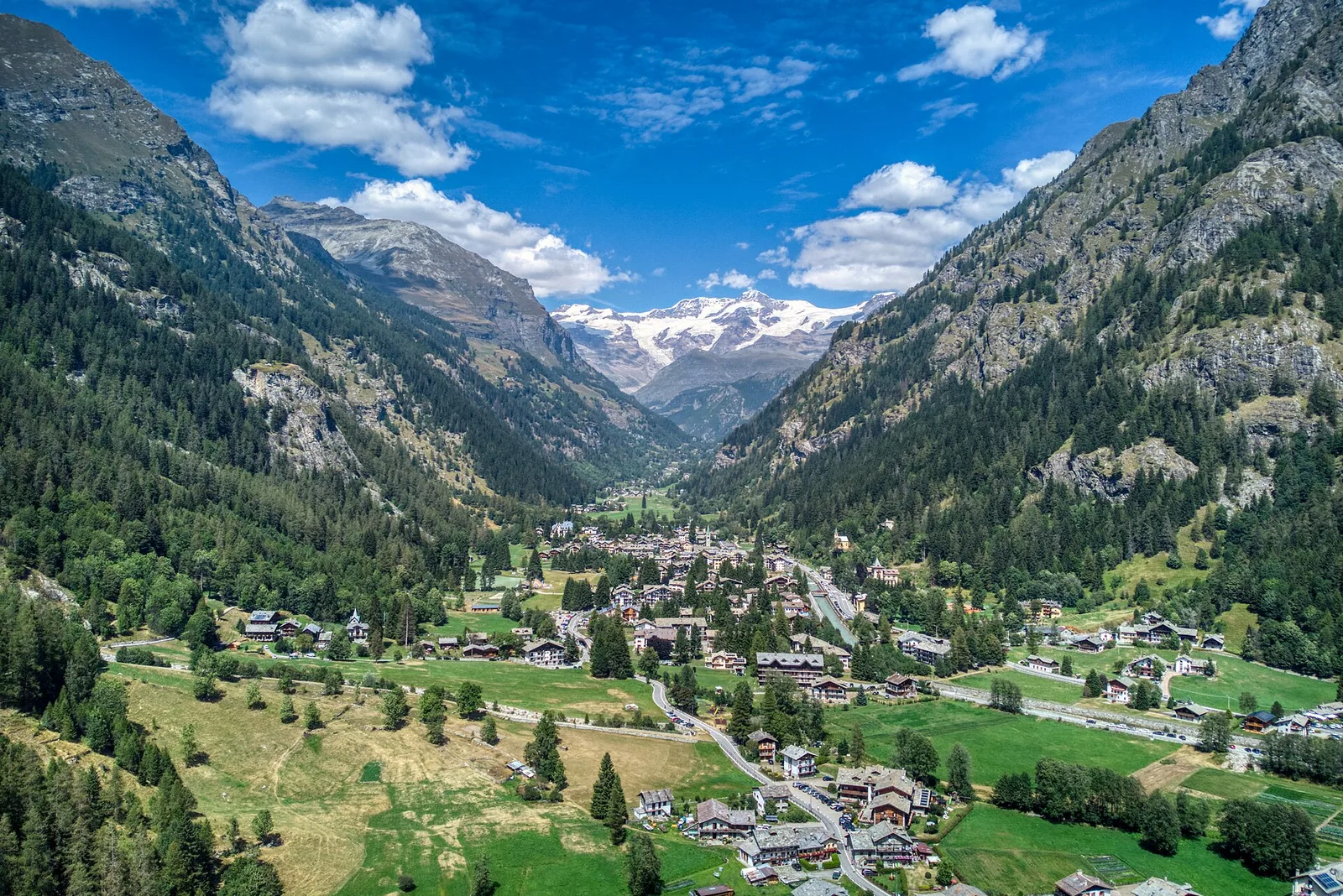
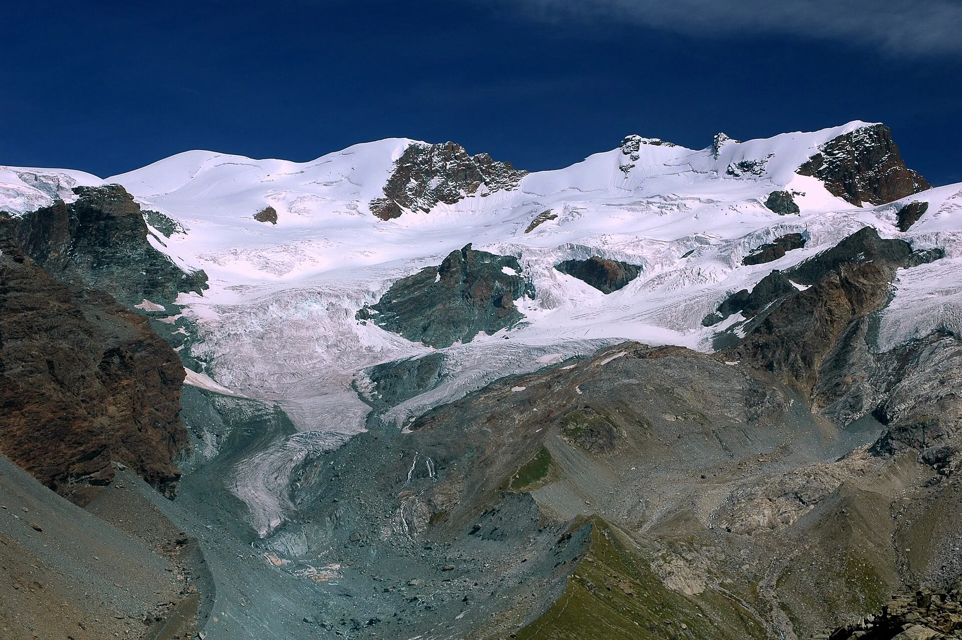
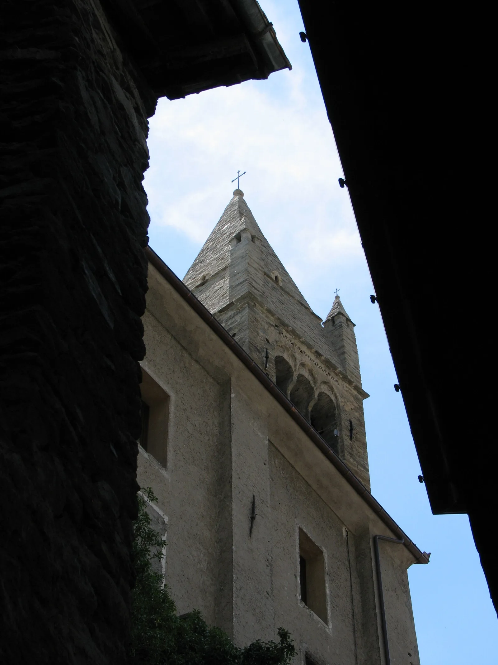
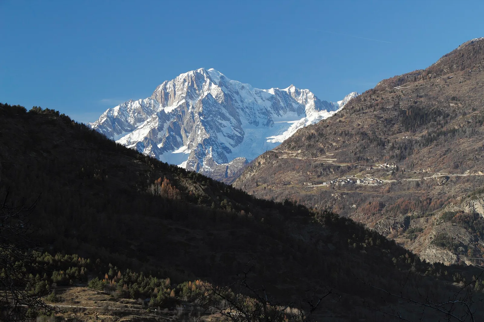
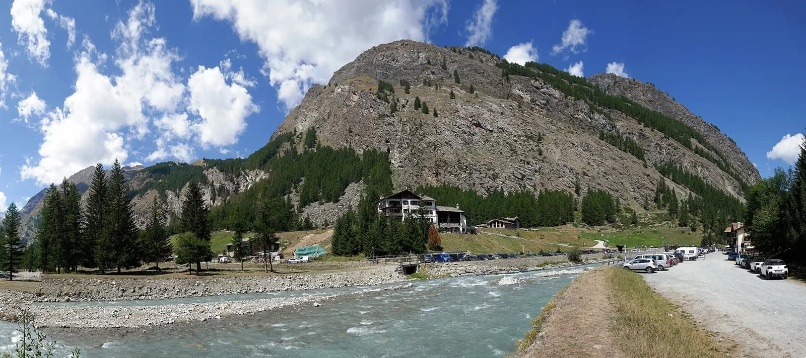
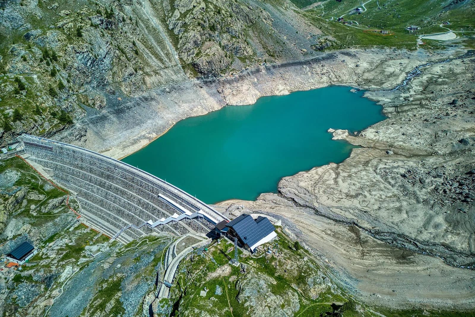
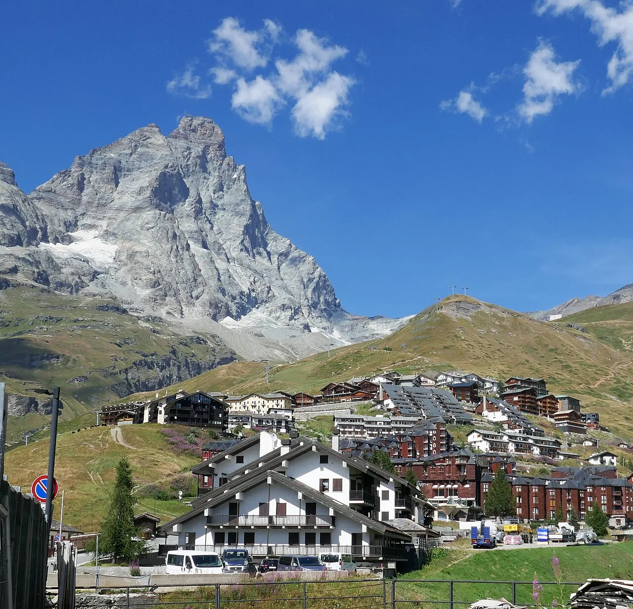
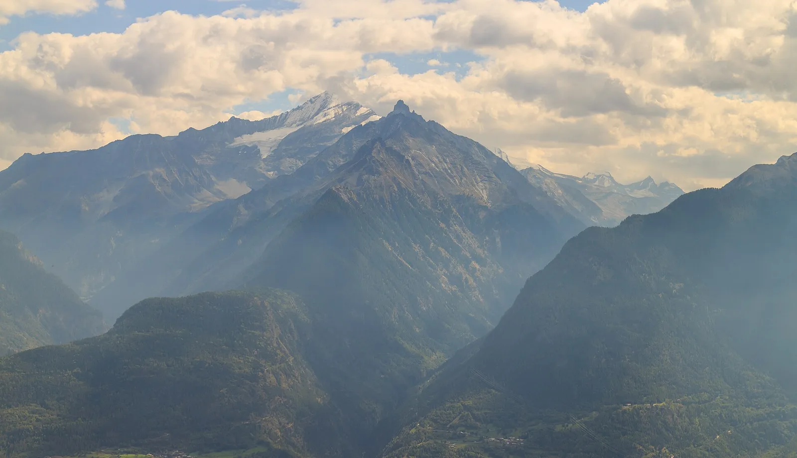
Val di Cogne
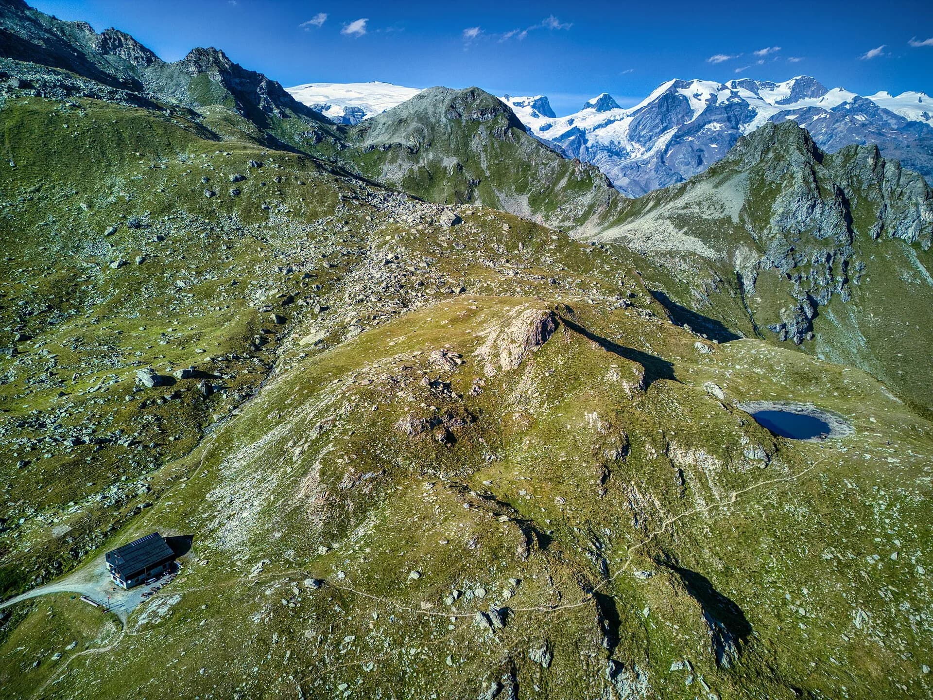
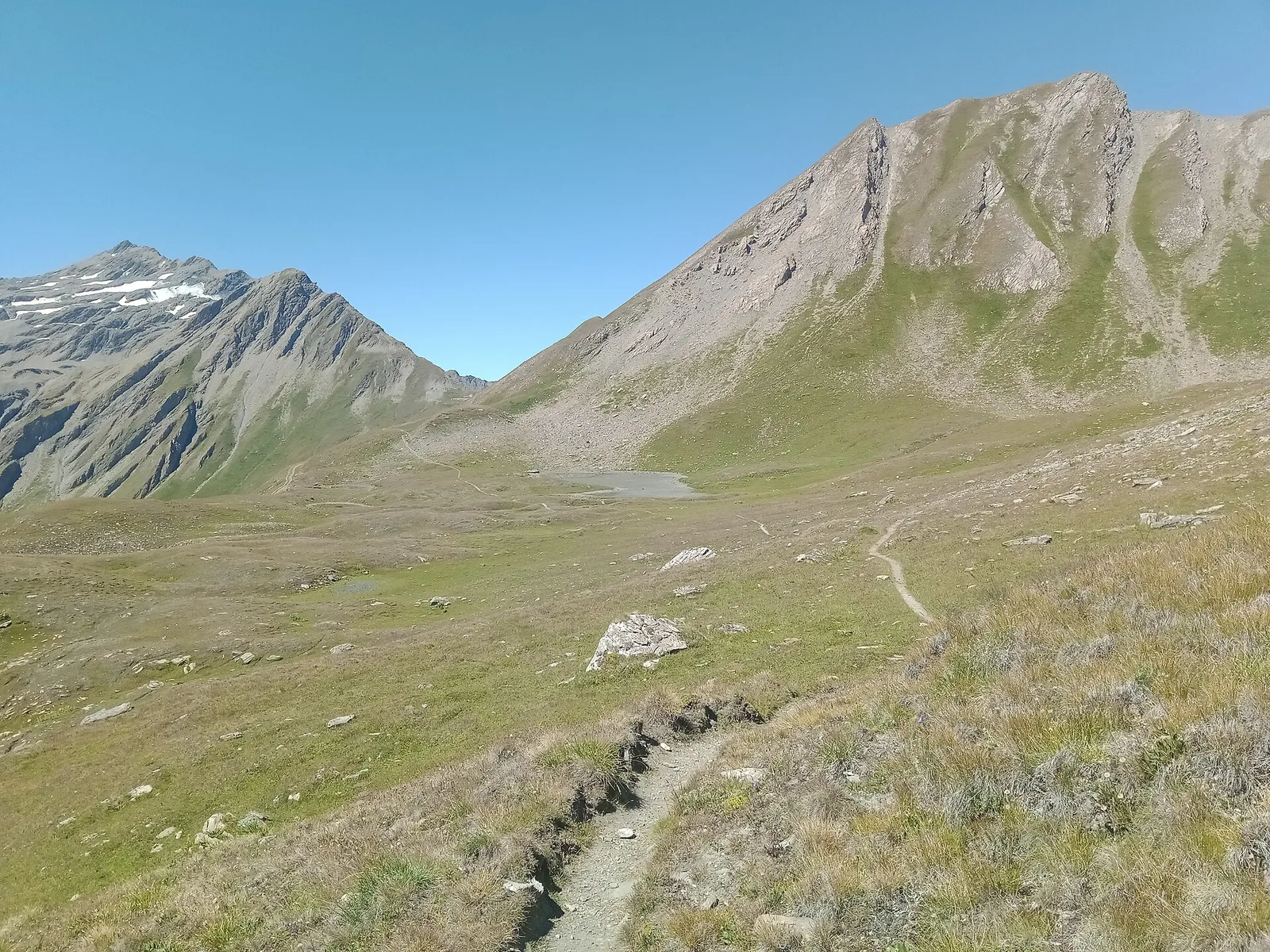
Alpe Bardoney (incrocio sentieri 12-13G)- Col de l'Arolla
5.3 km · +684 m · EE — from Alpe Bardoney (incrocio sentieri 12-13G) to Col de l'Arolla (Lys Valley).
5.3 km+684 m3 h
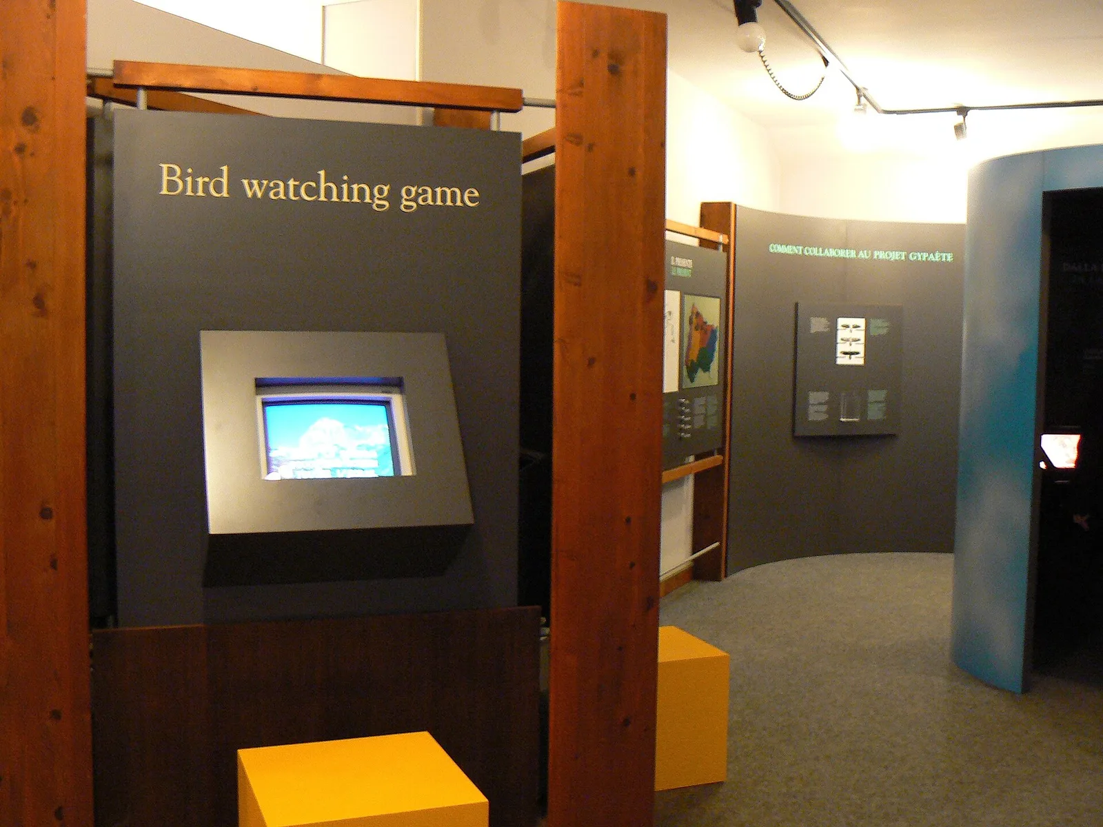
Where to spot
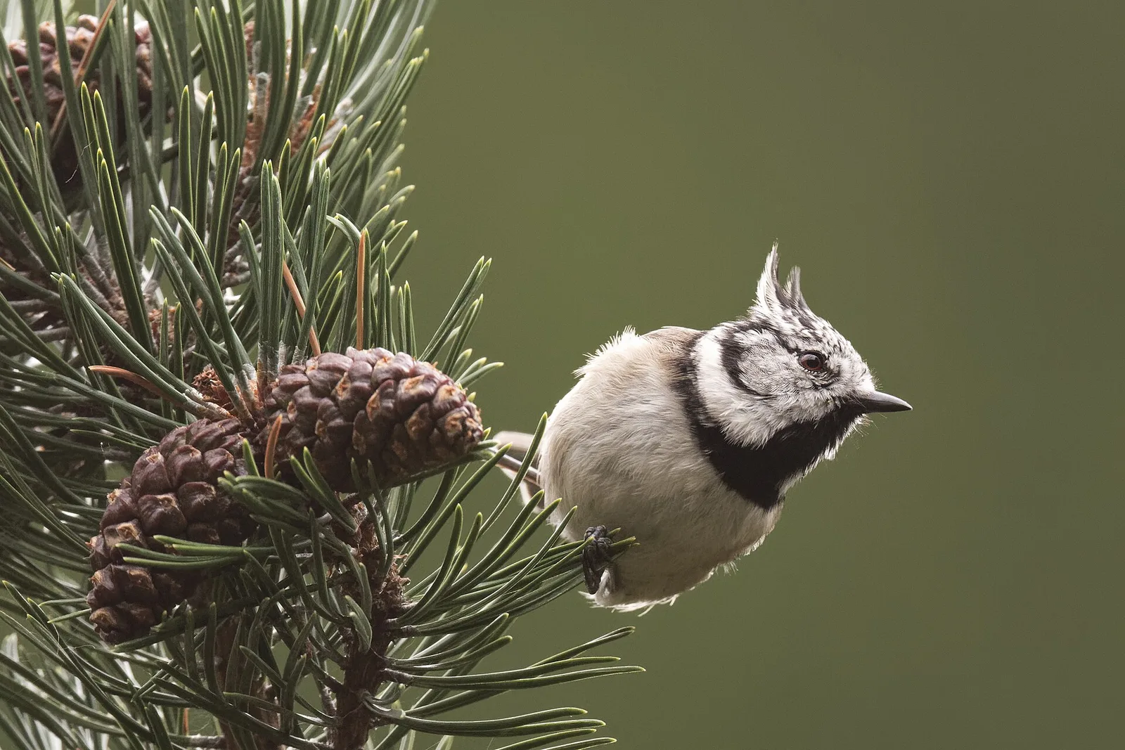
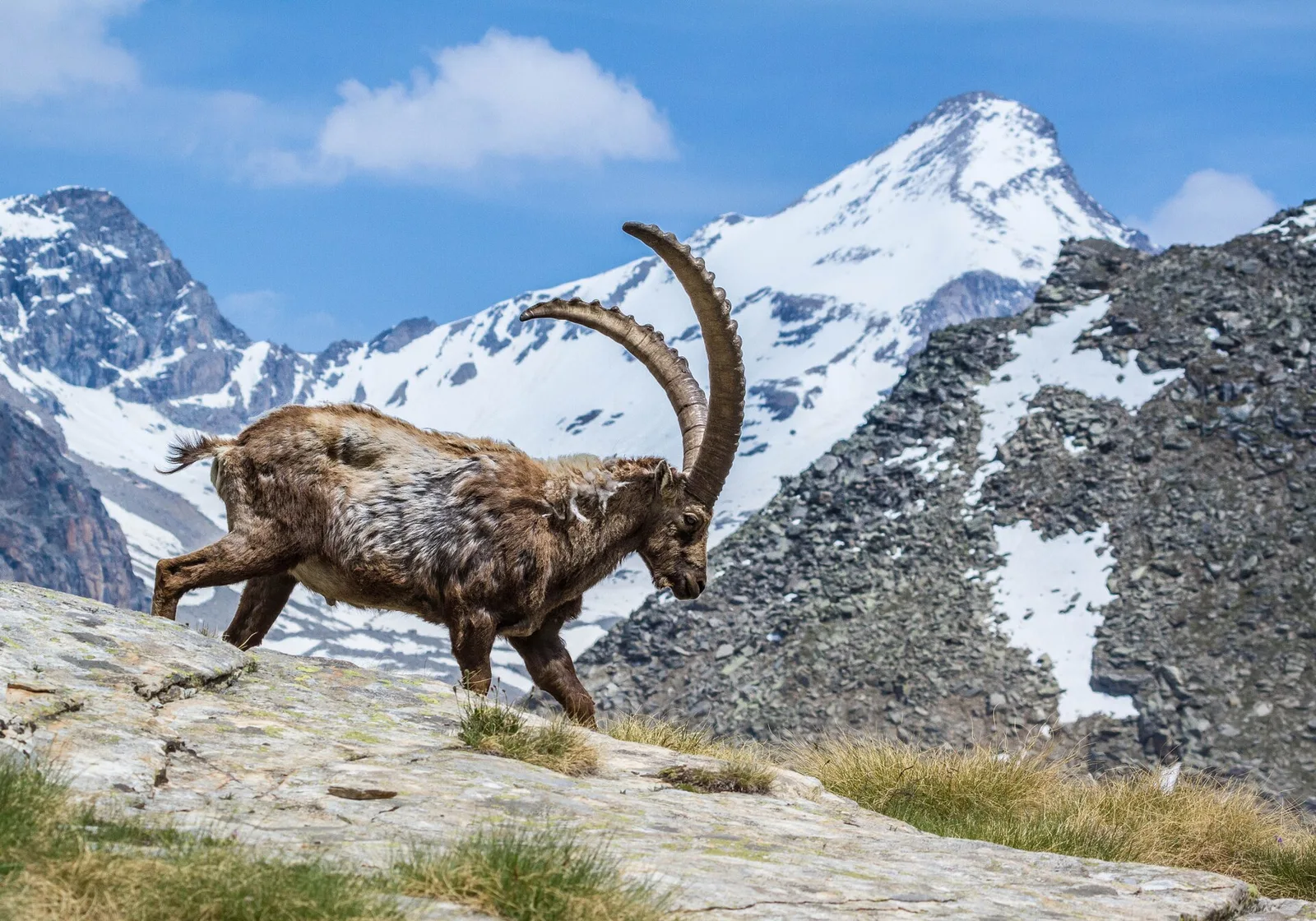
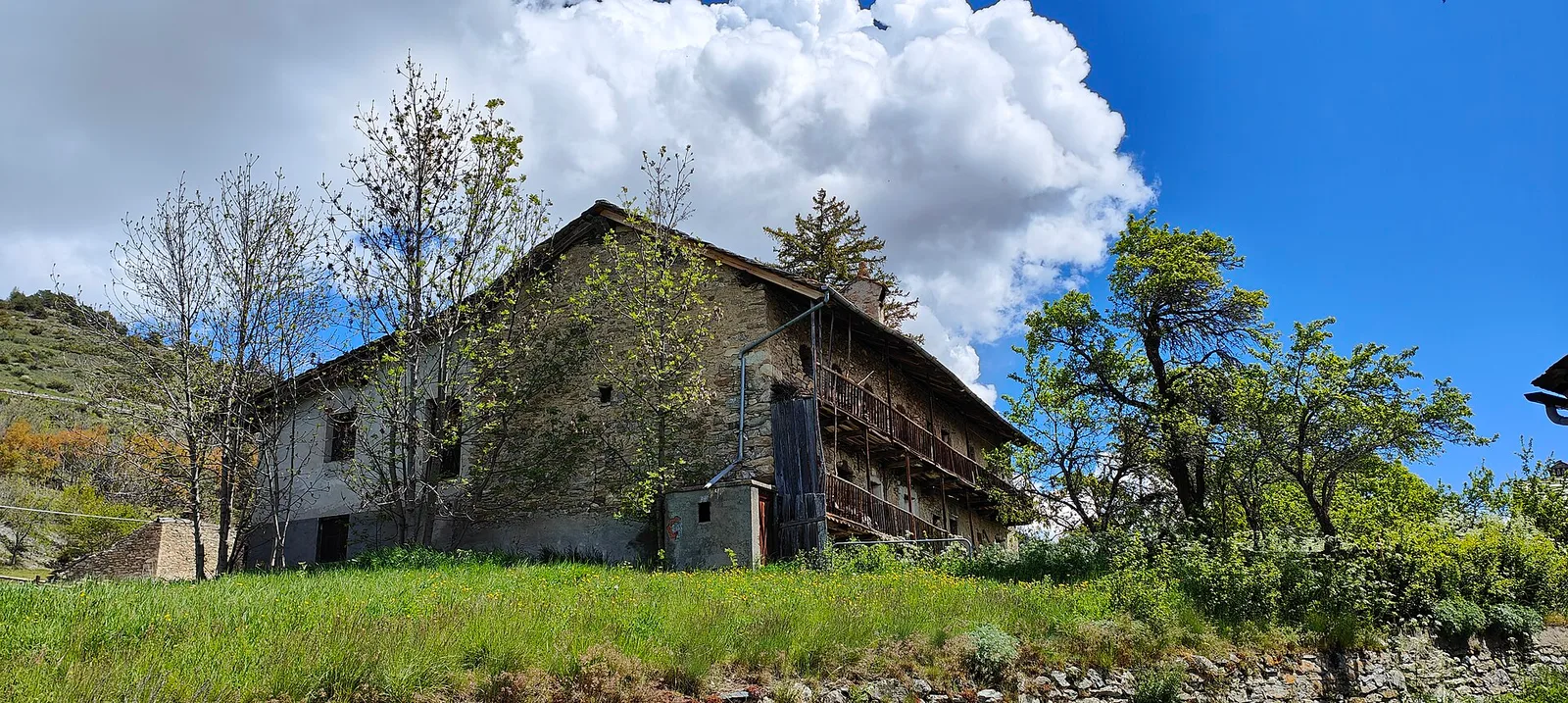
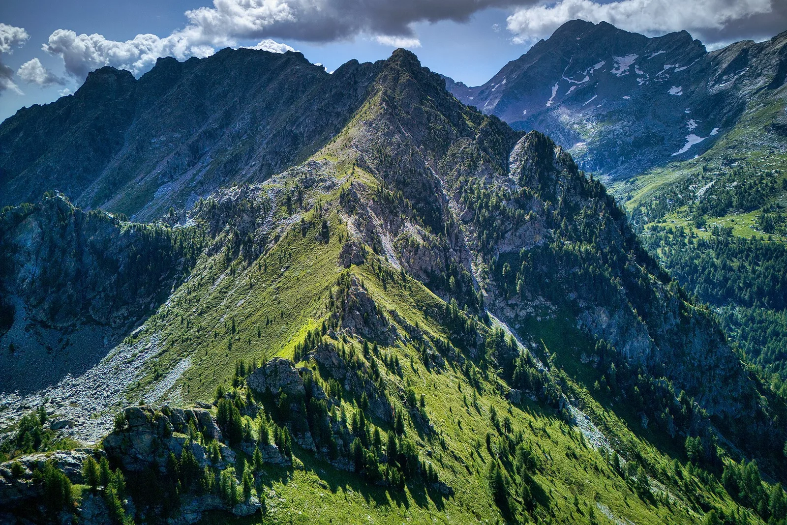
120 trails where Alpine rose is listed in flora/fauna: difficulty T–EE, elevation gain 0–1837 m.
120 · 1.0–18.2 km · +0–1837 m
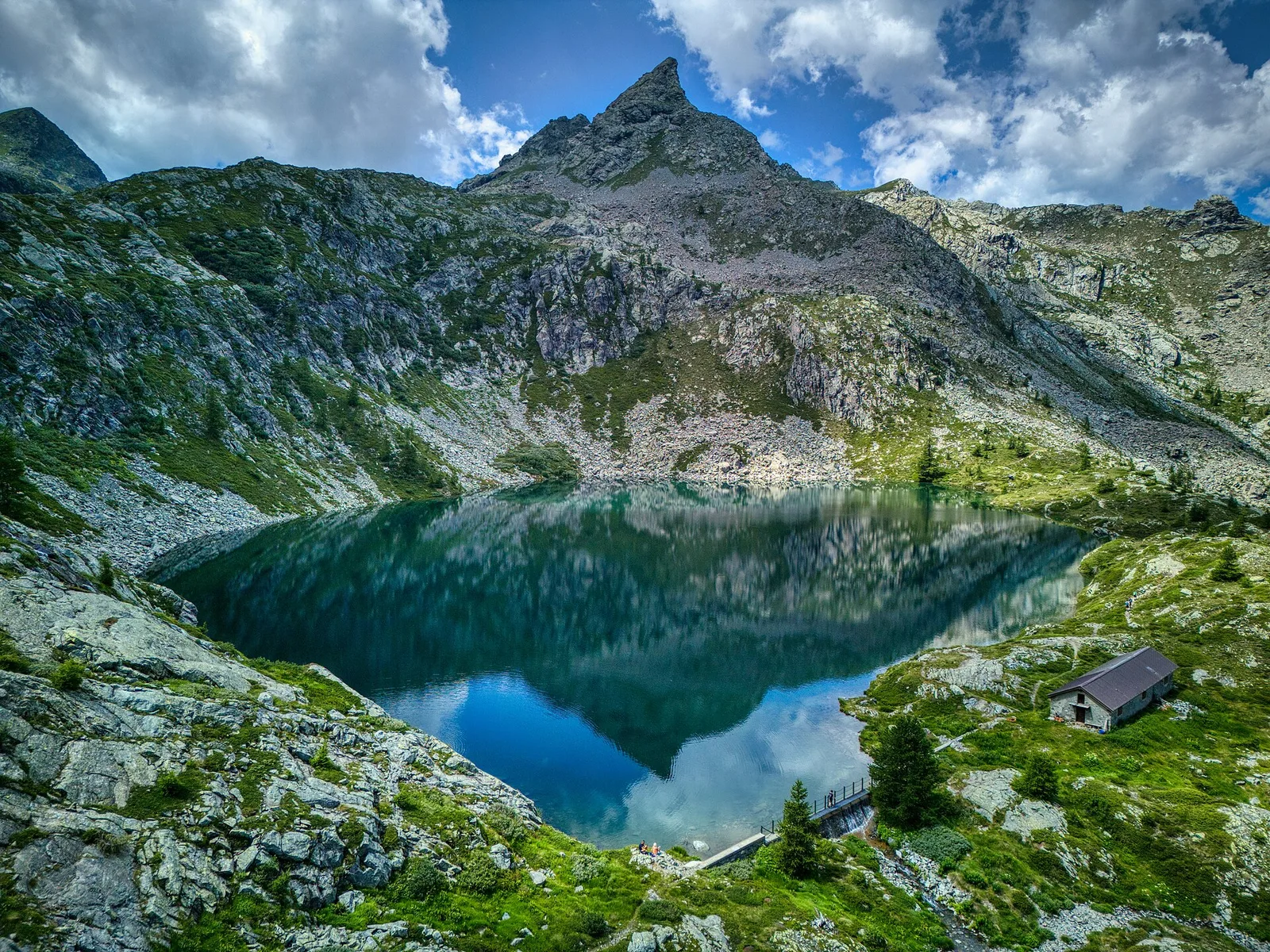
Val di Cogne
5.3 km · +684 m · EE — from Alpe Bardoney (incrocio sentieri 12-13G) to Col de l'Arolla (Lys Valley).
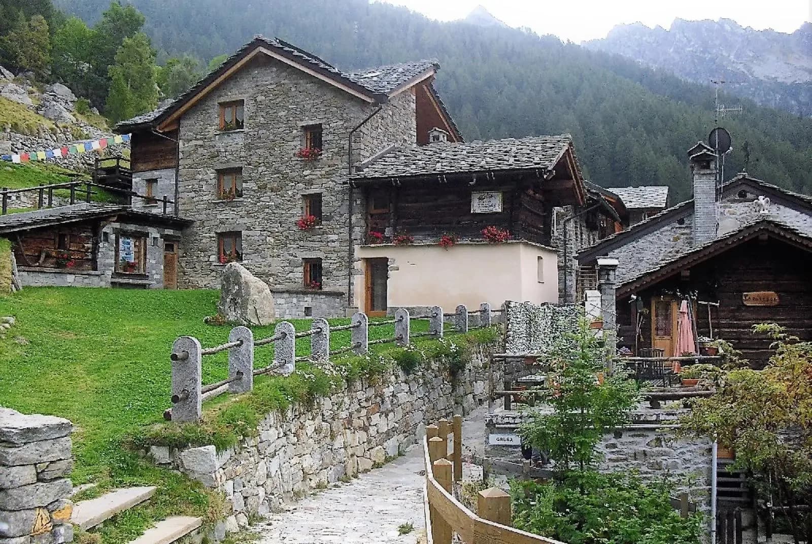
Valpelline
From the Sanctuary of Cuney to the Valpelline: a long descent over exposed ridges with short scramble sections, ending at Oyace in the heart of the Aosta Valley's most untouched valley.
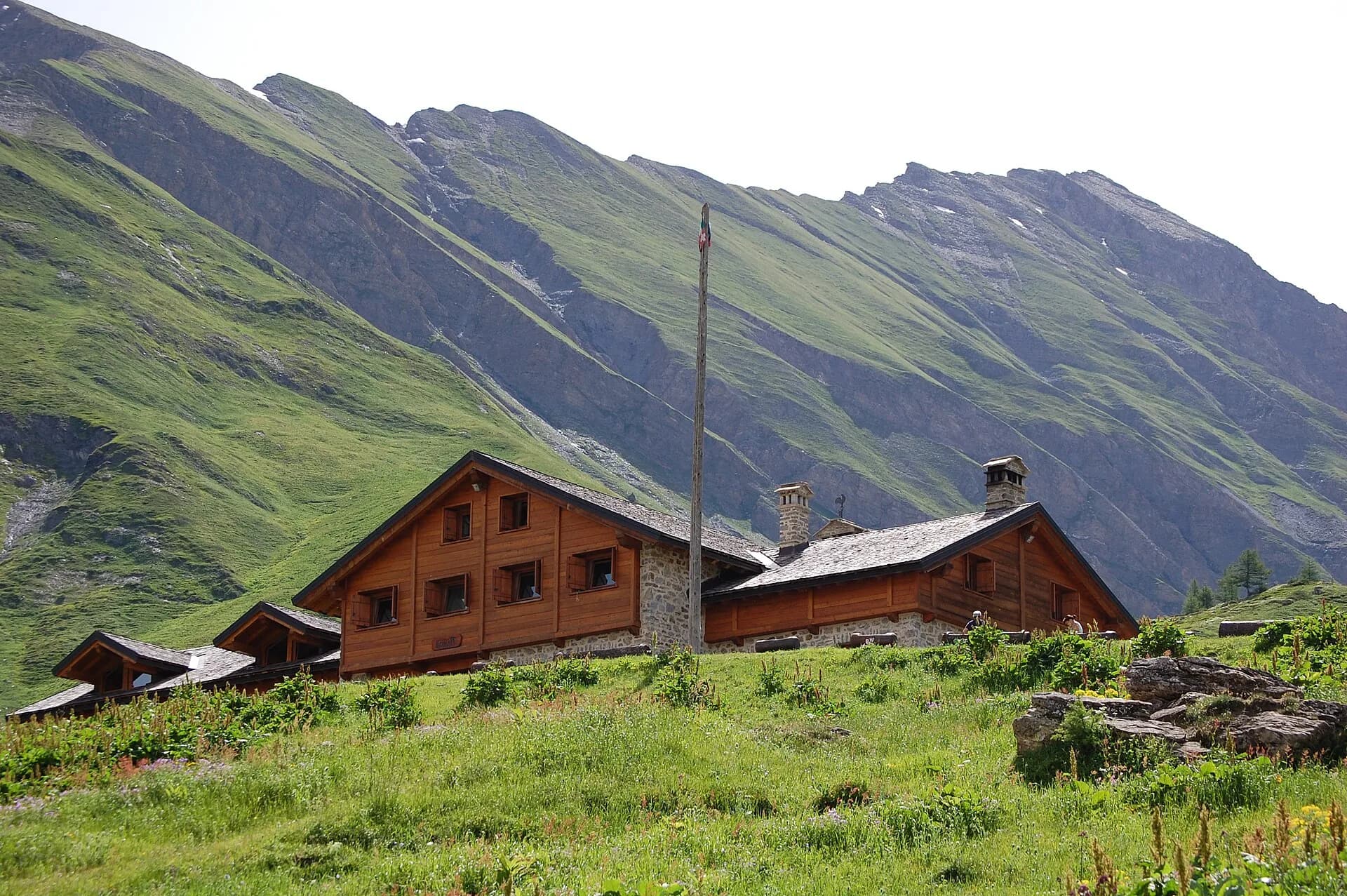
Valpelline — Conca di By
From Ollomont to Rifugio Champillon in the Conca di By: 1000 m of climbing through forests and summer farms to one of the AV1's most distinctive huts, complete with mountain sauna and yurt.
Valle del Gran San Bernardo
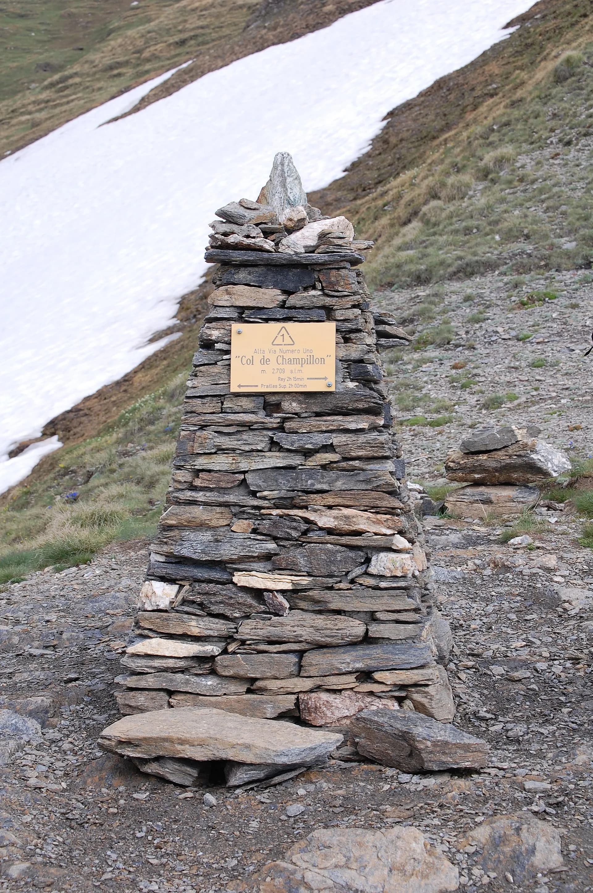
Over Col Champillon (2709 m) with panoramic views from Mont Blanc to Gran Paradiso, followed by a long descent to Saint-Rhémy-en-Bosses in the historic upper Grand Saint-Bernard valley.
Valle del Gran San Bernardo
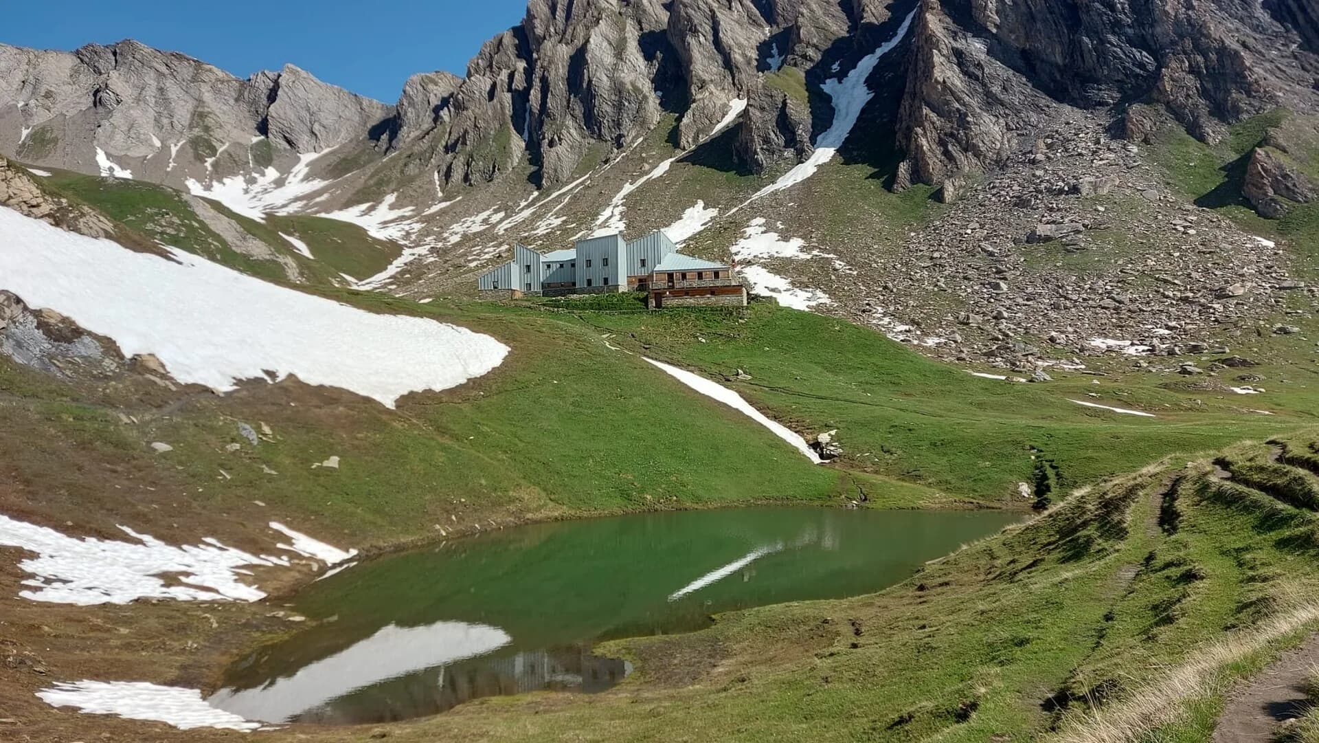
A steady climb through the Merdeux basin to Rifugio Frassati at 2540 m, the last overnight stop before tackling Col Malatrà (2925 m), the highest pass on the entire Alta Via 1.
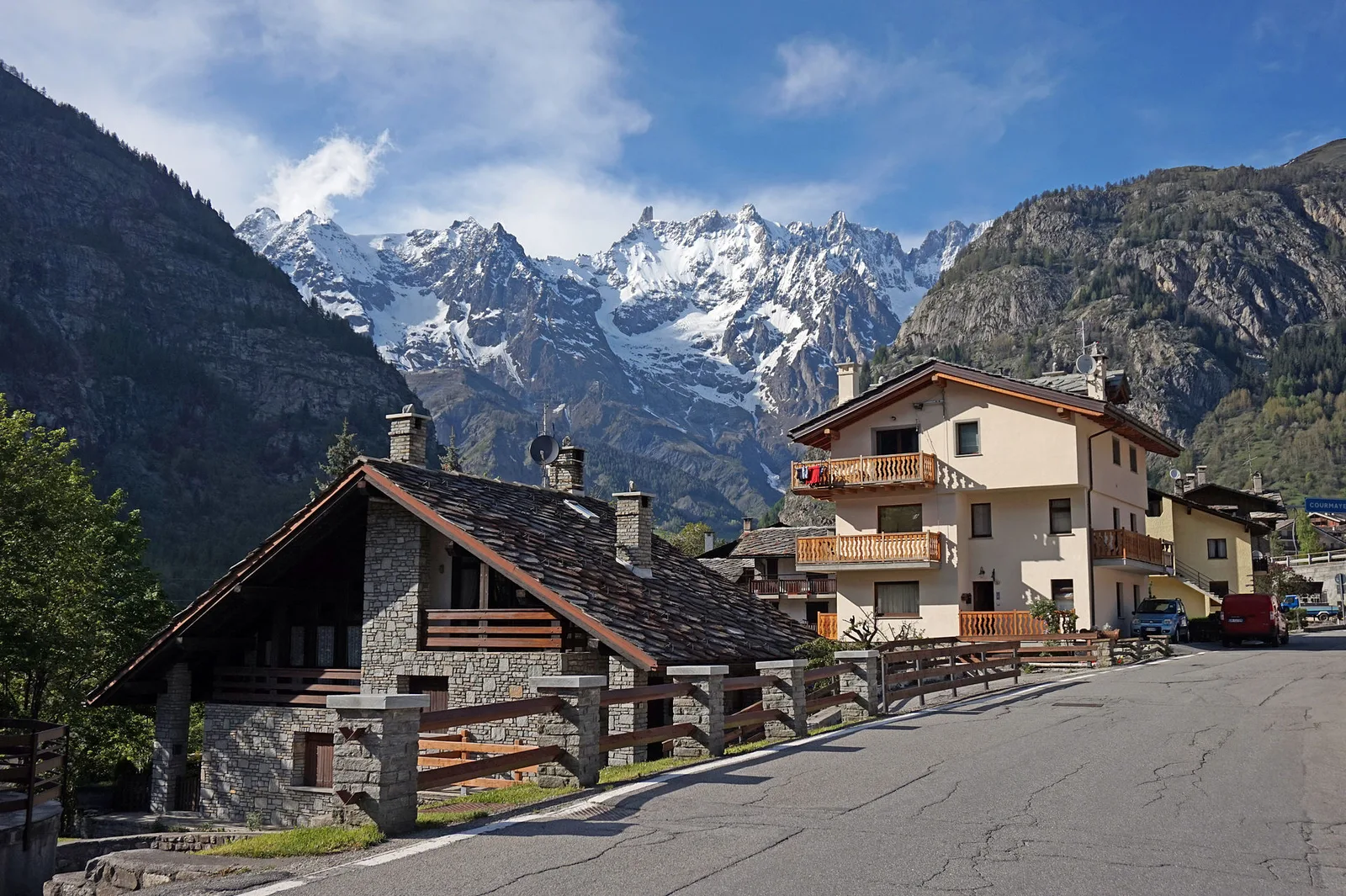
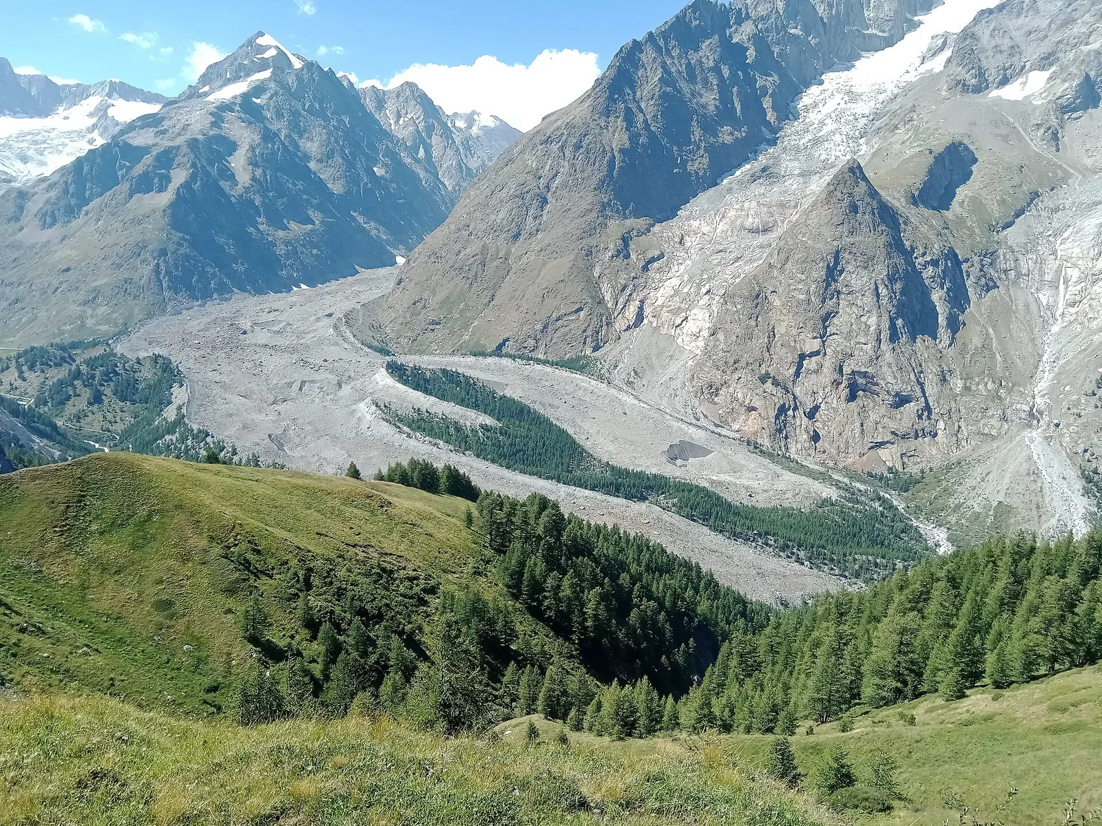
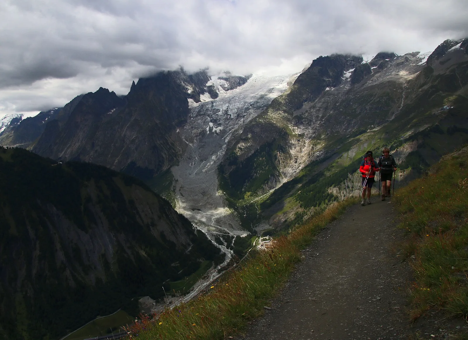
Val Ferret
Col Malatrà at 2925 m is the rooftop of Alta Via 1: from the panoramic crest above Mont Blanc the trail descends into Val Ferret to the legendary Rifugio Walter Bonatti.
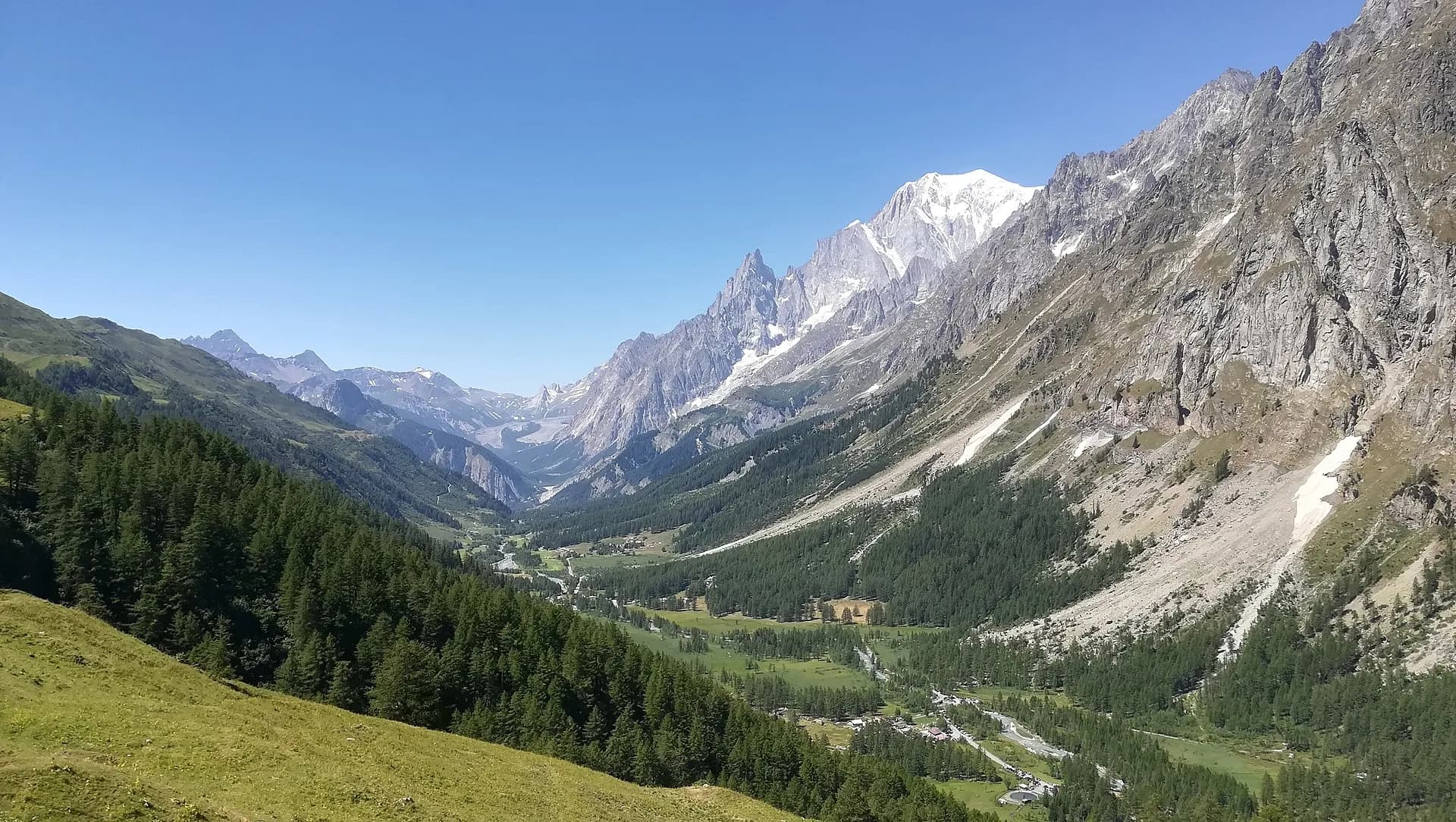
Val Ferret
The final AV1 stage: the Val Ferret balcony trail with Mont Blanc and Grandes Jorasses always in sight, ending at Courmayeur, Italy's alpine capital.
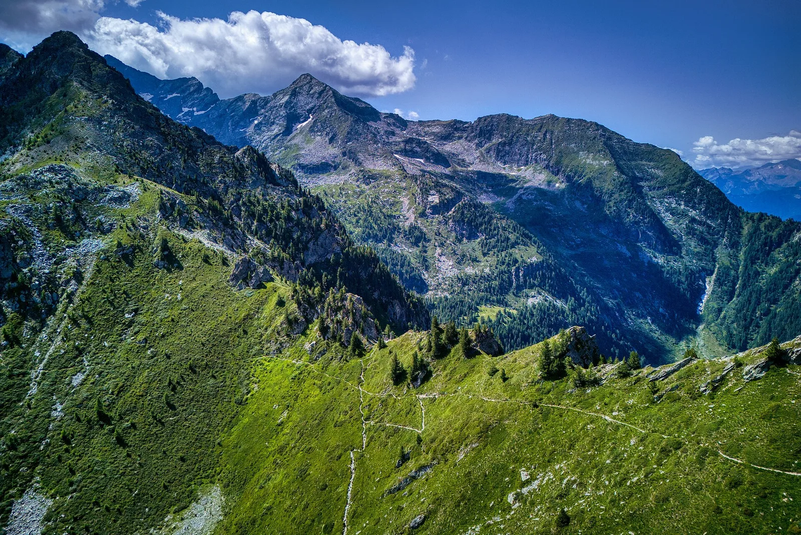
Valle di Gressoney
The longest stage in this sequence: 18 km of solitary ridge walking above the Lys valley with Monte Rosa views, ending in the Walser town of Gressoney-Saint-Jean.
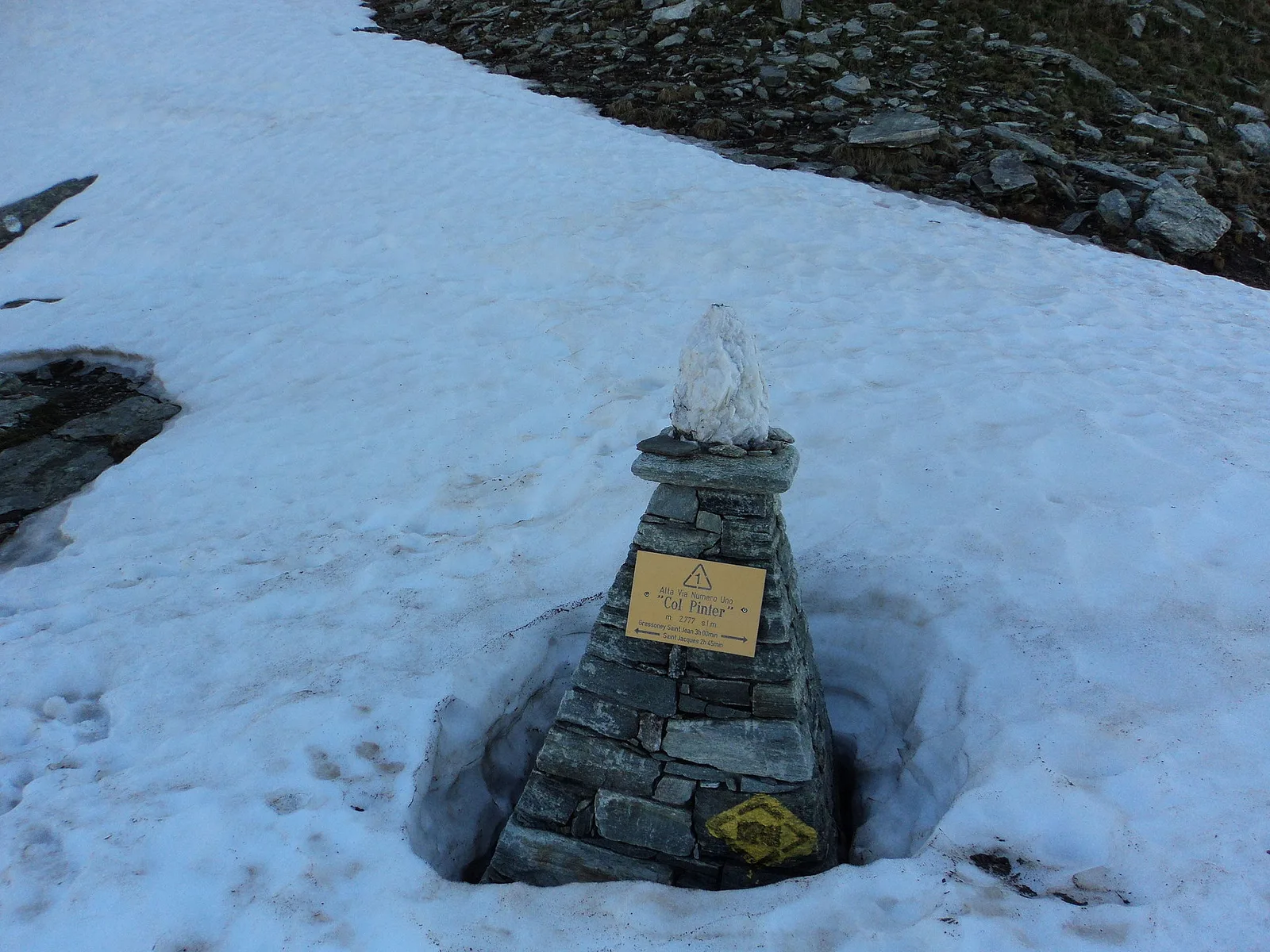
Valle di Gressoney — Valle d'Ayas
Crossing Col Pinter at 2777 m is the highlight of this stage: a wild pass between two alpine valleys where Monte Rosa dominates the entire eastern horizon.
Valle d'Ayas
From the ridges above Champoluc to Rifugio Grand Tournalin with the Matterhorn always in view: high-mountain terrain with sweeping panoramas over the Ayas valley and its pastoral landscape.
Valtournenche
The great descent: from Rifugio Grand Tournalin losing over a thousand metres to the valley floor of Valtournenche, passing through the scenic plateau of Cheneil with Matterhorn views.
Valtournenche
The shortest stage on the entire AV1: 4.7 km of sustained climbing from Valtournenche to Rifugio Jean Barmasse on the shores of Lago di Cignana, in preparation for the hardest day ahead.
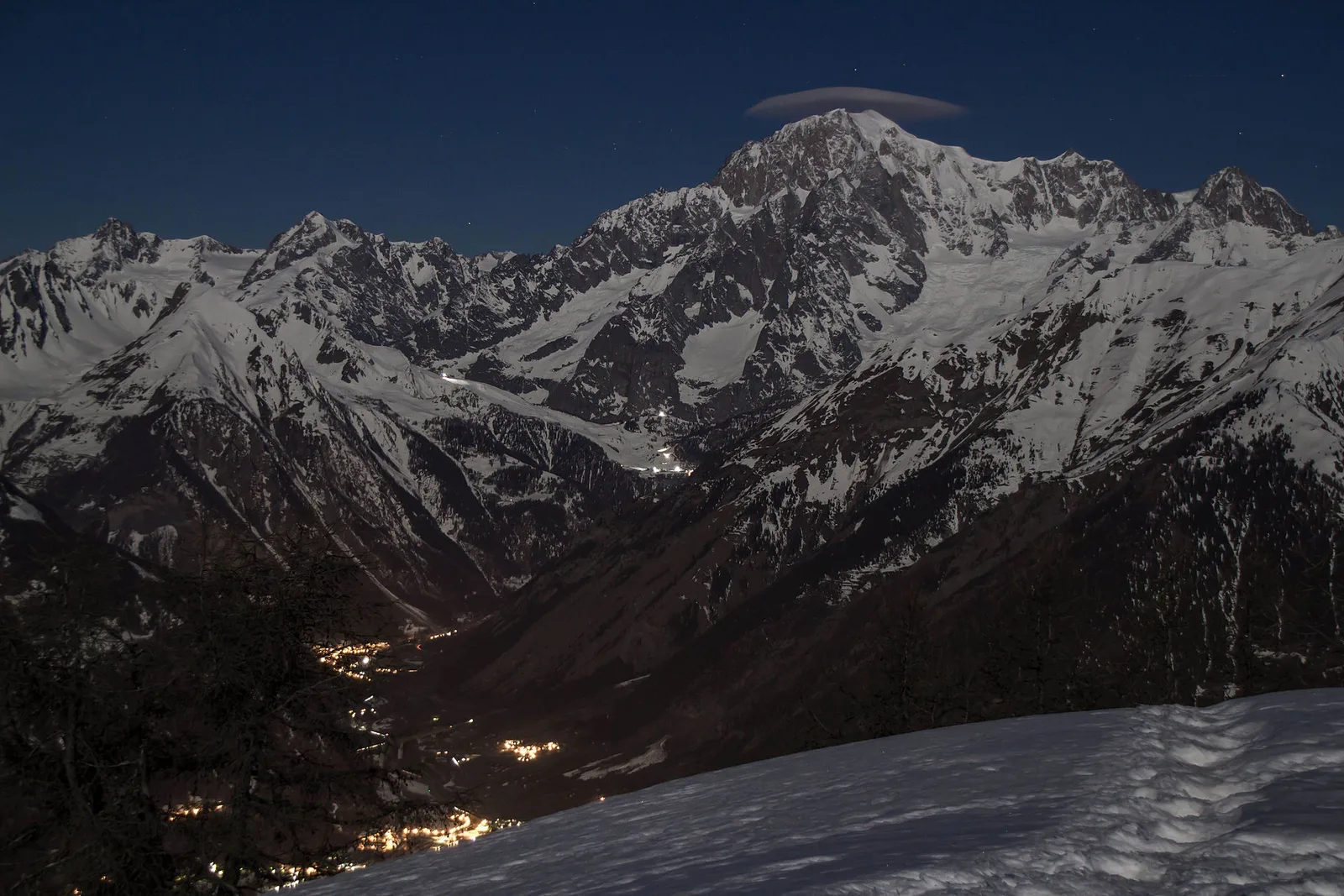
Val Veny
First stage of AV2: from Courmayeur to Rifugio Elisabetta in Val Veny, at the foot of Mont Blanc.
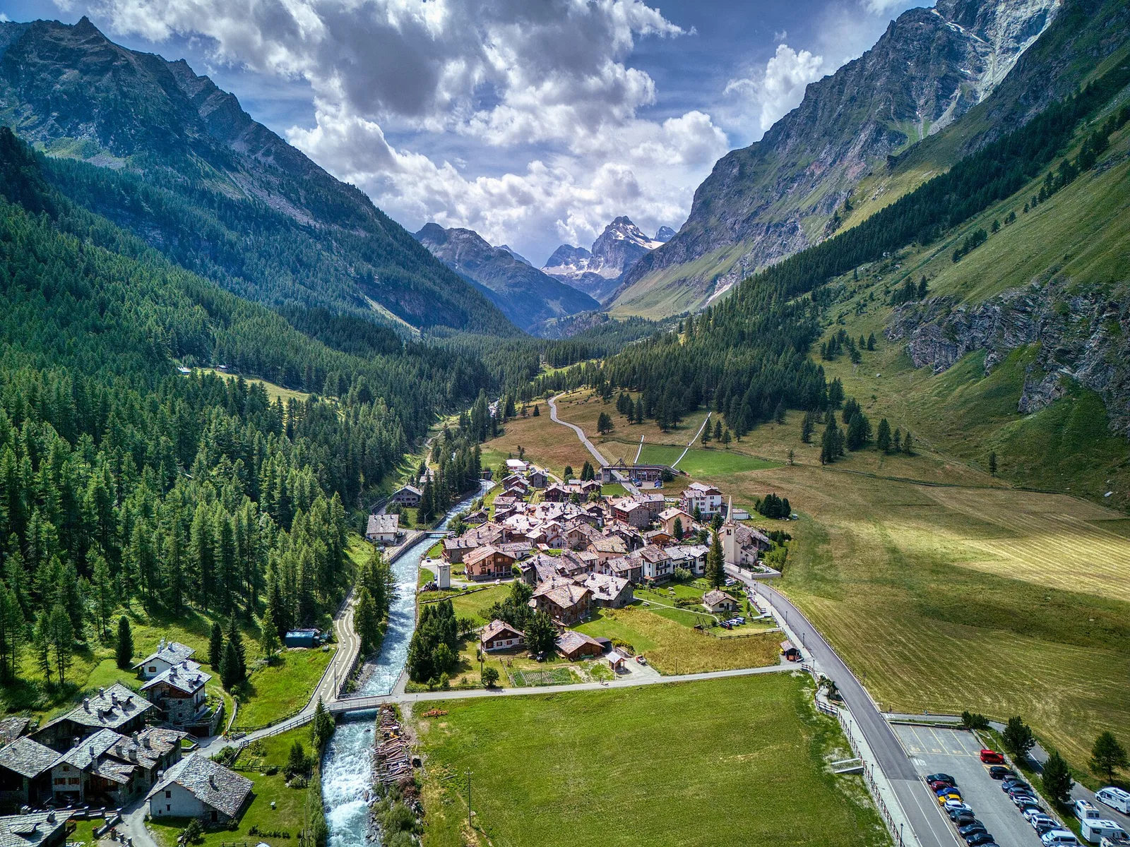
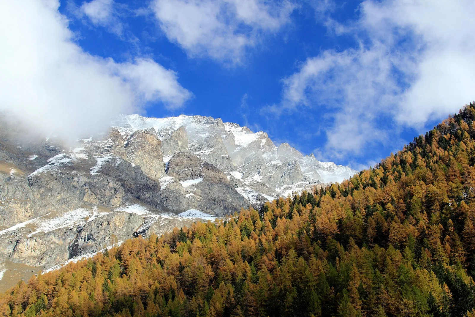
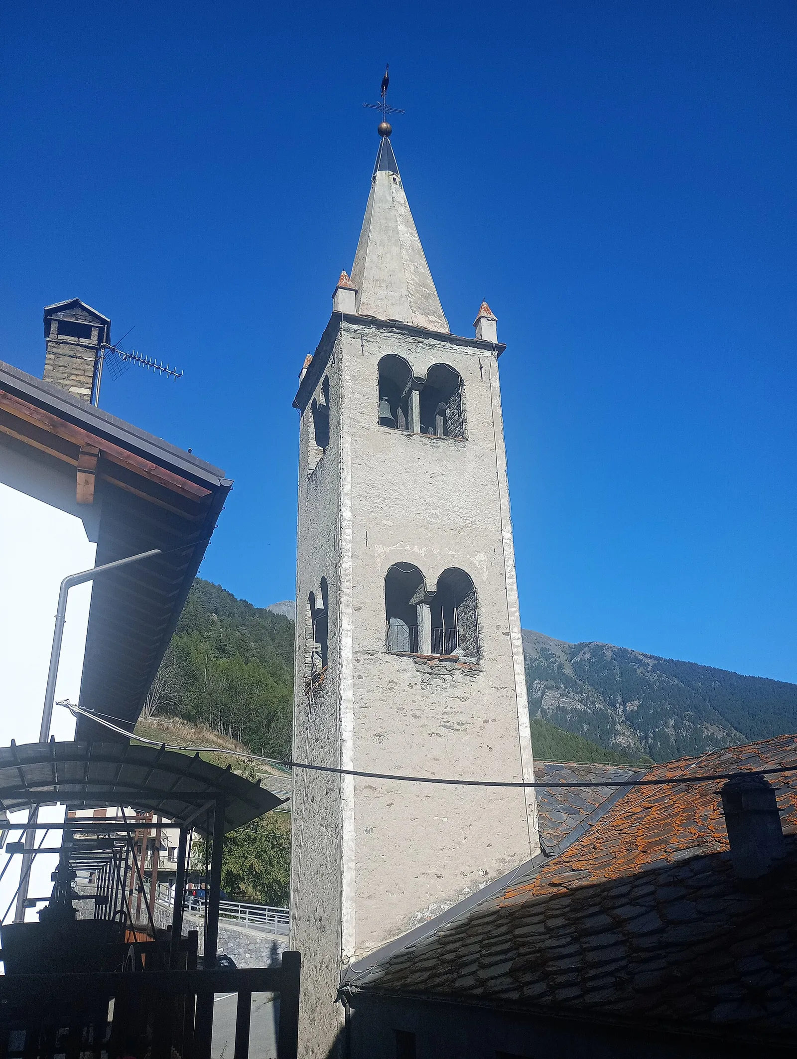
Val di Cogne
Climb from Cogne centre to Rifugio Sogno di Berdzé at Péradzà.
Champorcher
Cross Fenêtre de Champorcher and Lake Misérin to Dondena.
Champorcher
Descent along the «Scaletta» trail to Champorcher village.
Champorcher
Long stage to Crest-Damon with climb to Colle della Fricolla.
Bassa Valle
Final AV2 stage: from Retempio sanctuary to Donnas in the valley floor.
Val Veny
Descent from Col des Chavannes to La Thuile across pastures and the La Thuile valley.
La Thuile
Climb to Rifugio Deffeyes and Promoud bivouac in the Rutor valley.
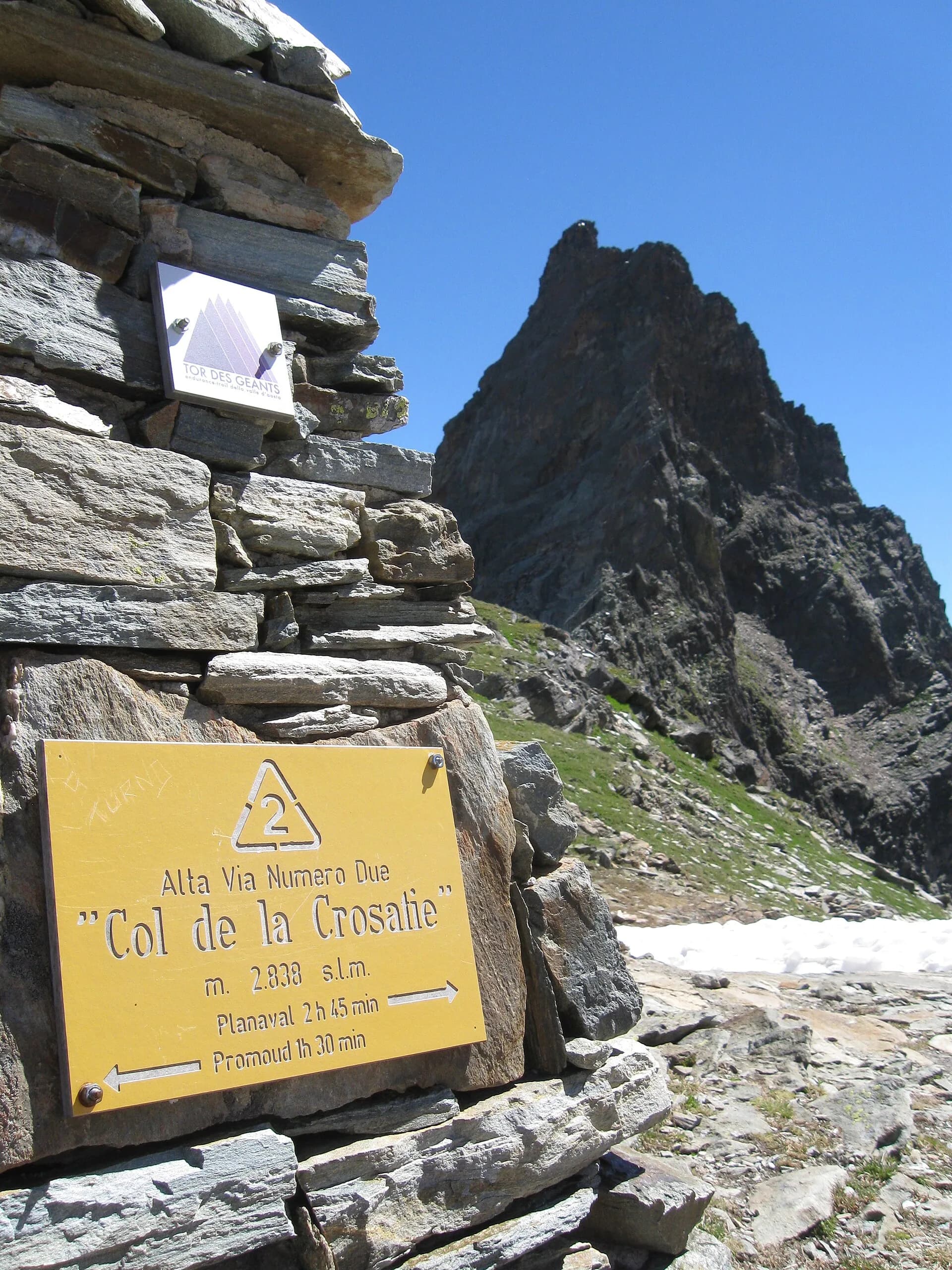
La Thuile
Cross Col de la Crosatie and descend toward Planaval in Valgrisenche.
Valgrisenche
Cross Valgrisenche to Rifugio Chalet de l'Épée.
Valgrisenche
Descent from Col Fenêtre to Val di Rhêmes and Rhêmes-Notre-Dame.
Val di Rhêmes
Iconic AV2 stage: Col Entrelor, Lake Djouan and descent to Eaux-Rousses.
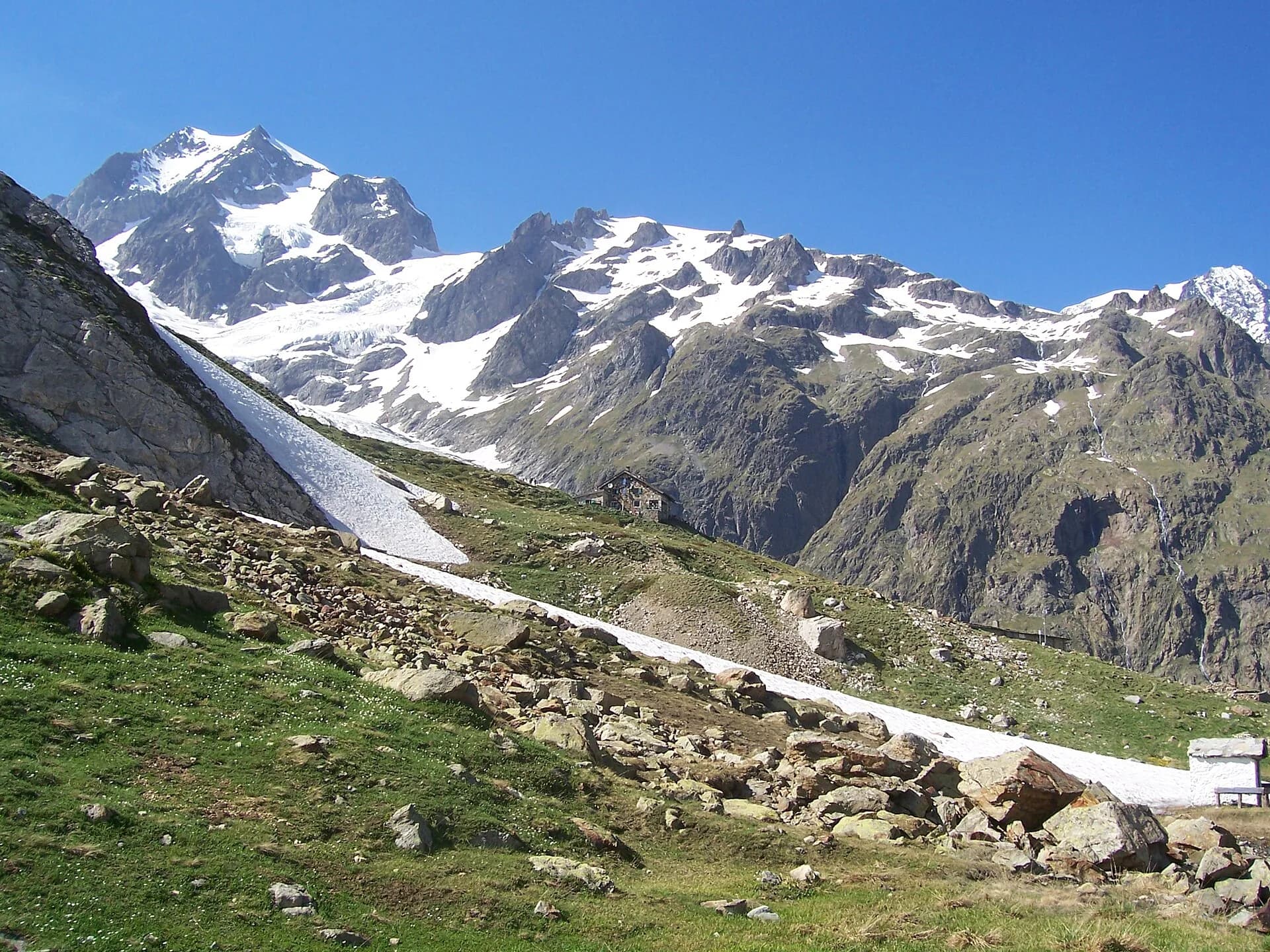
Valsavarenche
Highest stage on VdA High Routes: Col du Loson (3296 m) and Rifugio Vittorio Sella.
Val di Cogne
Scenic descent from Vittorio Sella to Cogne via Valnontey.
Val Ferret
Balcony trail along Val Ferret facing the Mont Blanc massif. Quite possibly Italy's finest panorama.
Val di Rhêmes
2.9 km · +535 m · E — from Artalle to Chaussettaz (Great St Bernard Valley).

Valle di Champorcher
13.9 km · +1540 m · E — from Barche to Grand Alpe (Lys Valley).
Valle centrale
A demanding climb in the Valdigne, La Salle, toward high pastures: sustained elevation gain on an E-rated trail through forest and grassland.
Valle centrale
5.5 km · +786 m · E — from Bellecombe to Alpe Valmeriana (Valdigne).
Valle del Gran San Bernardo
A short climb through alpine pastures to the Col Citrin (2487 m), a panoramic watershed facing Velan, Gelé and the Grand Combin.
La Thuile
5.2 km · +578 m · E — from Bivio Vallone des Chavannes to Colle del Piccolo San Bernardo (Lys Valley).
Valle centrale
5 km · +816 m · E — from Blavy to Col de Joux (Valpelline).
Valtournenche
1.2 km · +136 m · E — from Breuil to Cielo Alto (Central Valley).
Valtournenche
1 km · +136 m · E — from Breuil to Cielo Alto (Central Valley).
Val di Rhêmes
2.6 km · +472 m · E — from Bruil to Chaussettaz (Great St Bernard Valley).
Valle del Gran San Bernardo
6.5 km · +1197 m · E — from Buthier to Pointe Chaligne (Central Valley).

Valle del Gran San Bernardo
6.5 km · +1197 m · E — from Buthier to Punta Chaligne (Central Valley).
Val d'Ayas
4.5 km · +937 m · EE — from Capiron to Mont Lyan (Central Valley).

Val di Rhêmes
2.9 km · +551 m · E — from Carré to Chaussettaz (Great St Bernard Valley).
Valle centrale
4.5 km · +571 m · E — from Challancin to Col de Bard (La Thuile).
Valle centrale
9.8 km · +1097 m · E — from Champex to Arp (Rhêmes Valley).
Val di Rhêmes
6.4 km · +210 m · E — from Chanavey to Thumel (Great St Bernard Valley).
Val di Rhêmes
2.2 km · +508 m · E — from Chanavey to Chaussettaz (Great St Bernard Valley).
Valle di Champorcher
2.7 km · +567 m · E — from Chardonney to Bec de Monpey (Valtournenche).
Valle di Champorcher
6.1 km · +770 m · E — from Chardonney to Rifugio Dondena (Valtournenche).
Val d'Ayas
2.7 km · +674 m · E — from Corbet to Alpe Boussolaz (Central Valley).
Val d'Ayas
Val d'Ayas: a climb toward a panoramic high-altitude objective over open terrain.
Valsavarenche
5.9 km · +637 m · E — from Degioz to Orvieille (Pavillon royal de chasse) (Ayas Valley).
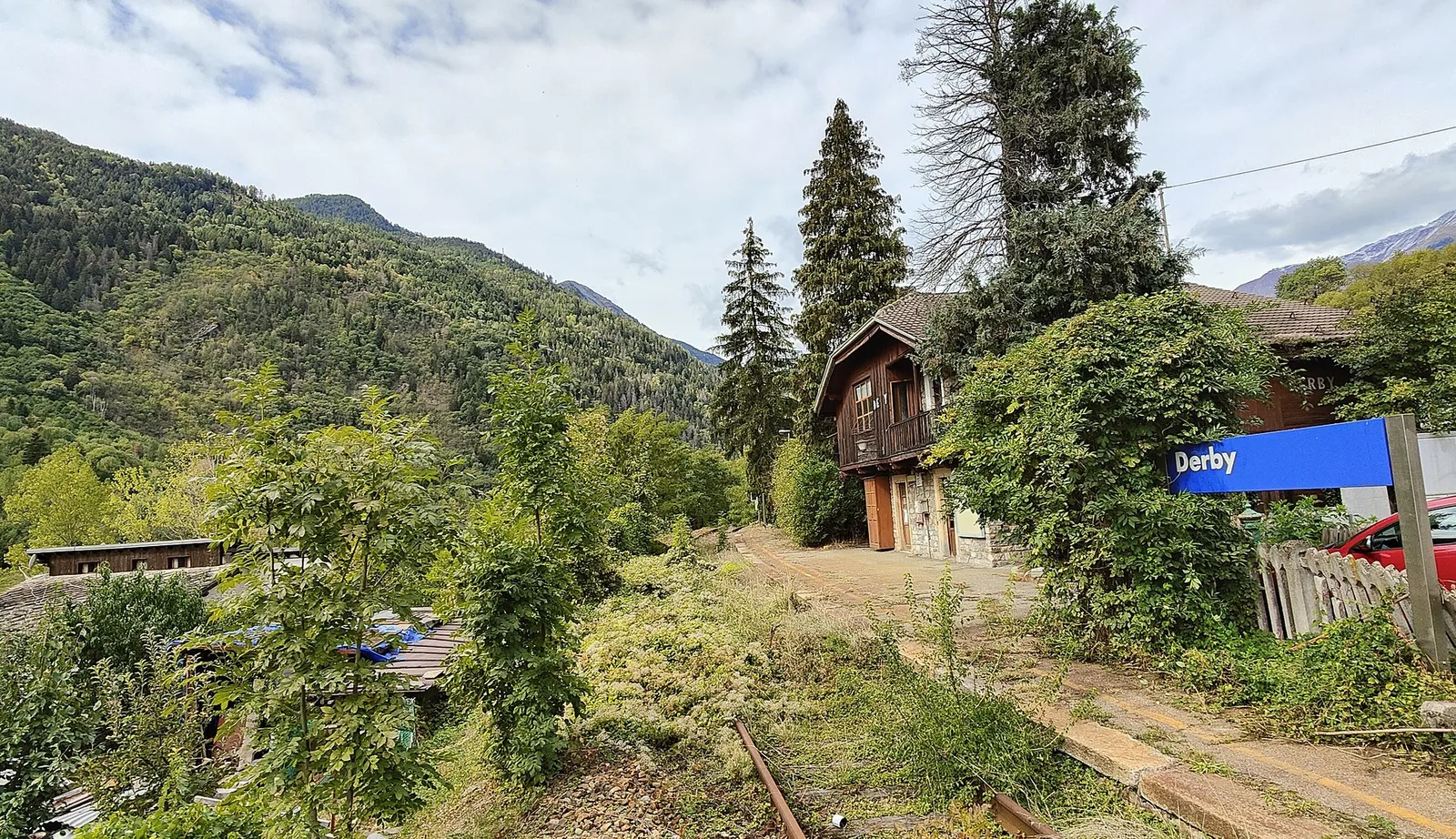
Valle centrale
5.2 km · +715 m · E — from Derby, Chiesa to Lazey (La Thuile).
Val Veny
14.3 km · +1234 m · E — from Dolonne to Rifugio Elisabetta (Great St Bernard Valley).
Valle centrale
7 km · +1459 m · E — from Elevaz to Mont-Crammont (Rhêmes Valley).
Valle centrale
3.5 km · +774 m · E — from Etavel to Combelin (Central Valley).

Valtournenche
11.4 km · +1433 m · EE — from Etirol to Col de Chavacour (Valpelline).
Valtournenche
9.8 km · +1219 m · E — from Etirol to Fenêtre de Tsan (Valpelline).
Valle del Lys
7.8 km · +1429 m · E — from Capoluogo to Col de Gragliasca (Lys Valley).
Valle centrale
5.8 km · +766 m · E — from Fonteil to Croce di Fana (Rhêmes Valley).
Valle del Gran San Bernardo
8.9 km · +1661 m · E — from Gignod to Pointe Chaligne (Central Valley).
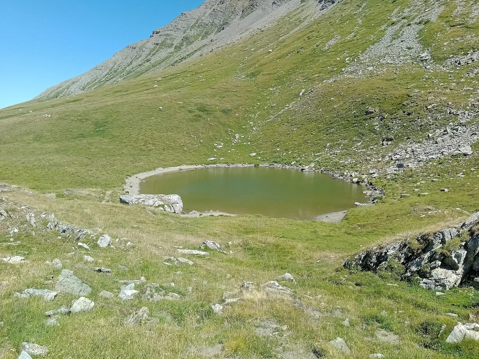
Val di Cogne
From Gimillan to Lac Money (trail 8C), Cogne: 5.8 km, +813 m, E. A lonely lake below Punta Money.
Valpelline
5 km · +1117 m · E — from Glacier to Bivacco Rosazza/Savoie (Valpelline).
Valle centrale
5.6 km · +1032 m · E — from Grand Haury to Cou (Lys Valley).
Valle del Lys
6.4 km · +1576 m · E — from Kunju to Col Chasten Sud (Ayas Valley).
Val Ferret
3.1 km · +774 m · E — from La Palud to Pavillon (Great St Bernard Valley).
Val Ferret
2.4 km · +774 m · E — from La Palud to Pavillon (Great St Bernard Valley).
La Thuile
4.8 km · +926 m · E — from La Thuile to Col de la Croix (Lys Valley).
Valle centrale
4.5 km · +951 m · E — from Lac d'Arpy to Mont Cormet (Central Valley).
Valle centrale
2.6 km · +728 m · E — from Lac du Joux to Pointe Aouillette (Central Valley).

Valle di Champorcher
5.2 km · +828 m · EE — from Le Crin to La Rossaz (Lys Valley).

Valle di Champorcher
5.9 km · +804 m · EE — from Le Crin to La Tramouaille de la Rossaz (Lys Valley).
Valgrisenche
7.7 km · +299 m · E — from Menthieu, partenza poderale to Incrocio 14A-13/14 (Alpe Revéraz-Dèsot) (Valtournenche).
Bassa Valle
8.8 km · +1603 m · E — from Monteil to Lac Liet (Valtournenche).
Valle di Champorcher
9.8 km · +1837 m · EE — from Monteil to Le Give (Valtournenche).
Valle del Lys
3.3 km · +668 m · E — from Niel to Col de Chaparelle (Great St Bernard Valley).

Valle del Lys
3.7 km · +663 m · E — from Niel to Colle della Mologna Piccola (Great St Bernard Valley).
Valle del Lys
5 km · +853 m · E — from Niel to Lago di Suckie (Great St Bernard Valley).
Valle del Lys
4.8 km · +786 m · E — from Onderwoald to Col Ranzola (Champorcher Valley).
Valle del Lys
2.9 km · +667 m · E — from Ondrò Verdebio to Ondrò Skearpie (Champorcher Valley).
Val d'Ayas
Upper Val d'Ayas, Brusson: a route toward a panoramic objective at high altitude.
Valle centrale
3 km · +795 m · E — from Pompiod to Torlin desot (cappella)- Raccordo 38_S6 (Valtournenche).
Valsavarenche
4.4 km · +718 m · E — from Pont to Plan Borgnoz (Ayas Valley).
Val Veny
3.1 km · +235 m · E — from Pont Combal to Rifugio Elisabetta (Great St Bernard Valley).
Valpelline
6.8 km · +1318 m · E — from Ponte Vernosse to Col Vamea (Lys Valley).
Valtournenche
2.1 km · +506 m · E — from Praz to La Fenetre (Valpelline).
Valle del Lys
6.6 km · +1335 m · E — from Quinçod to Merendiou (Ayas Valley).
Valle centrale
1.6 km · +202 m · E — from Remiod (Rumiod) to Grand Sarriod (Central Valley).
Val di Cogne
5.1 km · +1055 m · EE — from Rifugio Arbolle to Mont-Emilius (Cogne Valley).

Valle di Champorcher
5.2 km · +468 m · E — from Rifugio Barbustel to Col de Mézove (Central Valley).
Valgrisenche
5 km · +800 m · E — from Rifugio Benevolo to Col Bassac Déré (Great St Bernard Valley).
Valle centrale
From Runaz (839 m) to the Alpage du Glacier (2163 m): 1635 m of ascent through forest, pastures and open alpine grassland, one of the most demanding routes in the Valdigne.
Valle del Gran San Bernardo
1.8 km · +448 m · E — from Saint-Oyen to Saint-Oyen (Great St Bernard Valley).
Valle del Lys
In the commune of Brusson, Val d'Ayas: a route among hamlets and alpine pastures on the sunny slope with valley views.
Valle del Lys
3.5 km · +723 m · E — from Strada per Tschalvrino to Col Ranzola (Champorcher Valley).
Valle centrale
5.2 km · +1065 m · E — from S. R. Valsavarenche to Mont Blanc (Lys Valley).
Valle centrale
11.7 km · +1707 m · E — from Stradina Chateau de Quart to Croce di Fana (Rhêmes Valley).

Valgrisenche
5.8 km · +841 m · E — from Surrier to Col du Mont (Valtournenche).
Valgrisenche
5.5 km · +495 m · E — from Surrier to Rifugio Bezzi (Valtournenche).
Val Veny
15.2 km · +1482 m · E — from Capoluogo to Rifugio Elisabetta (Great St Bernard Valley).
La Thuile
17.1 km · +0 m · E — from Rifugio Elisabetta to Capoluogo (Great St Bernard Valley).
Valtournenche
4.7 km · +747 m · E — from Capoluogo to Rifugio Barmasse (Central Valley).
Valle di Champorcher
7.1 km · +0 m · E — from Rifugio Dondena to Capoluogo (Valtournenche).
Valle centrale
3.9 km · +1042 m · E — from Torin to Alpe Mont Giron (Valdigne).
Val di Cogne
A gentle prologue across the Sant’Orso meadow.
Val Ferret
A steady climb from Courmayeur to the Rifugio Bertone balcony.
Val Ferret
The Mont de la Saxe balcony, face to face with the Grandes Jorasses.
Val Ferret
Towards the head of Val Ferret, below the Pré de Bar glacier.
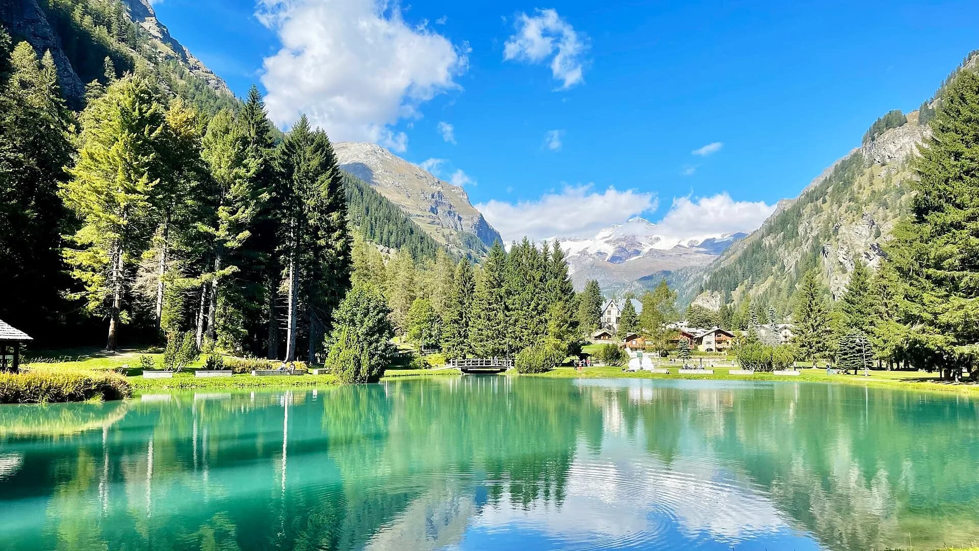
Valle del Lys
From the Walser capital to Lake Gabiet.
Valdigne — La Thuile
The Rutor waterfalls and the climb to the Deffeyes hut.
Valtournenche
4.6 km · +581 m · E — from Triatel to Santuario di Gilliarey (Valpelline).
Valle del Lys
6.8 km · +1156 m · E — from Tzendelabò to Colle della Vecchia (Great St Bernard Valley).
Valpelline
6.1 km · +1467 m · E — from Montcorvé to Col Arpeyssaou, biv. La Lié (Valtournenche).
Valle di Champorcher
7.5 km · +1421 m · E — from Varesa to Lago di Leseney (Champorcher Valley).
Valle centrale
In the commune of La Salle, Valdigne: an accessible route through forest and vineyards toward upper hamlets.
Valle centrale
From Vedun (1519 m) to Mont-Court de Bard (2170 m): 3.3 km, +652 m, steep consistent climb. Mont Blanc and Vertosan views. Half-day route. E.
Valle del Gran San Bernardo
7.2 km · +1009 m · EE — from Vetan to Col Palettaz (Central Valley).
Valle di Champorcher
7 km · +910 m · E — from Veulla to Rifugio Barbustel (Central Valley).
Val di Cogne
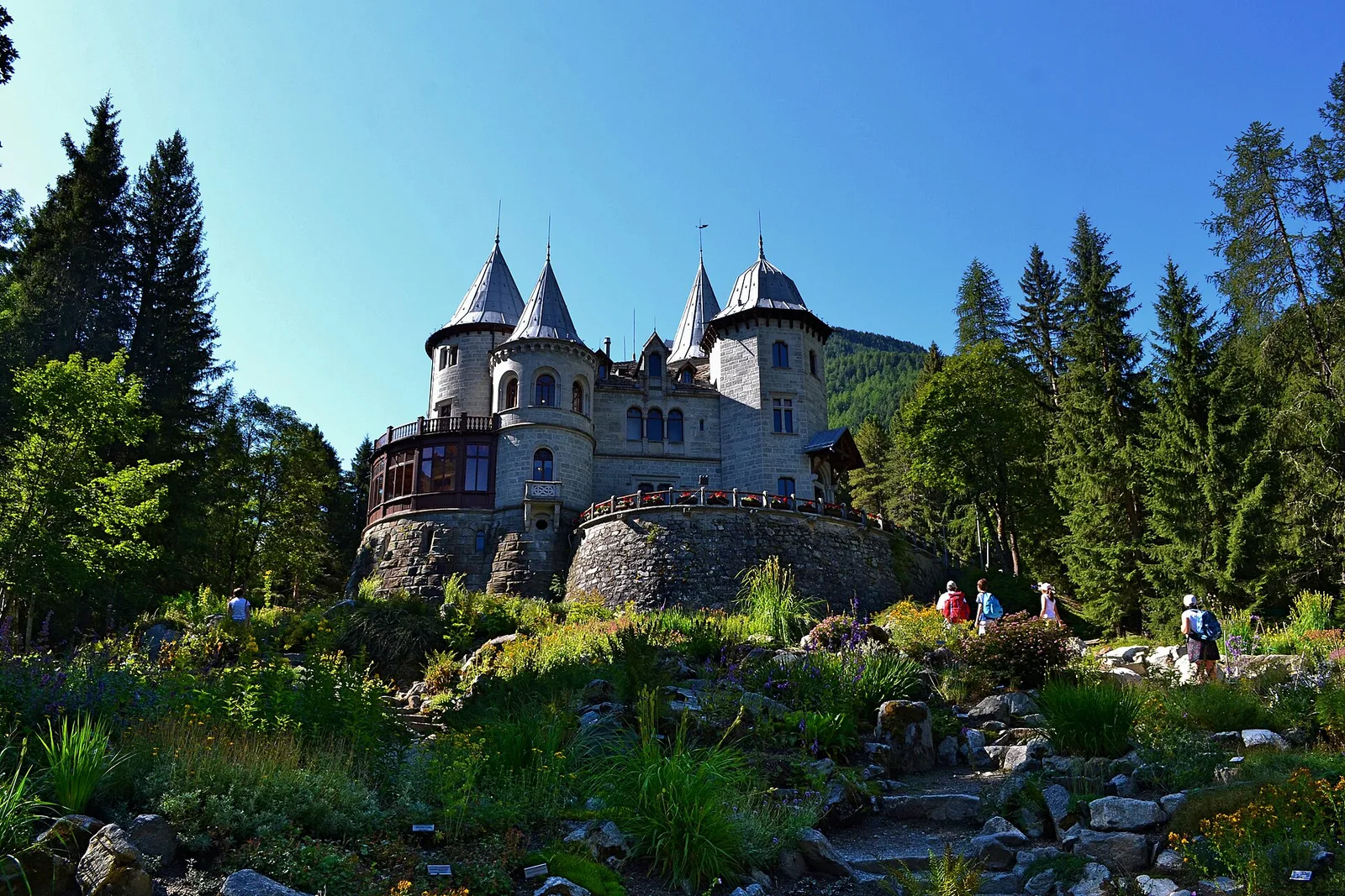
In the Val di Cogne, Aymavilles: an E-rated climb toward an objective in the Gran Paradiso National Park.
Valle centrale
6.8 km · +1219 m · E — from Villair to Tête de Bernarde (Great St Bernard Valley).
Valle del Lys
2.8 km · +159 m · E — from Wiessmatten to Col Ranzola (Champorcher Valley).
Valle del Lys
7.1 km · +1699 m · EE — from Zer Schmettò to Bivacco Lateltin (Champorcher Valley).