High Route 2 — Stage 12: Rifugio Dondena → Champorcher
Advertencias
- Check weather and residual snow early season
- Book huts in peak season
 1 / 2
1 / 26 km
+0 m
−780 m
2 h
Nivel físico
~610 kcal estimadas
Mapa y ruta
Traza GPX oficial — Región Valle de Aosta / lovevda.it
Descripción
Puntos clave
Salida
Rifugio Dondena · 2185 m
Llegada
Champorcher · 1409 m
Short scenic stage: descend Champorcher valley on the Scaletta trail to the village.
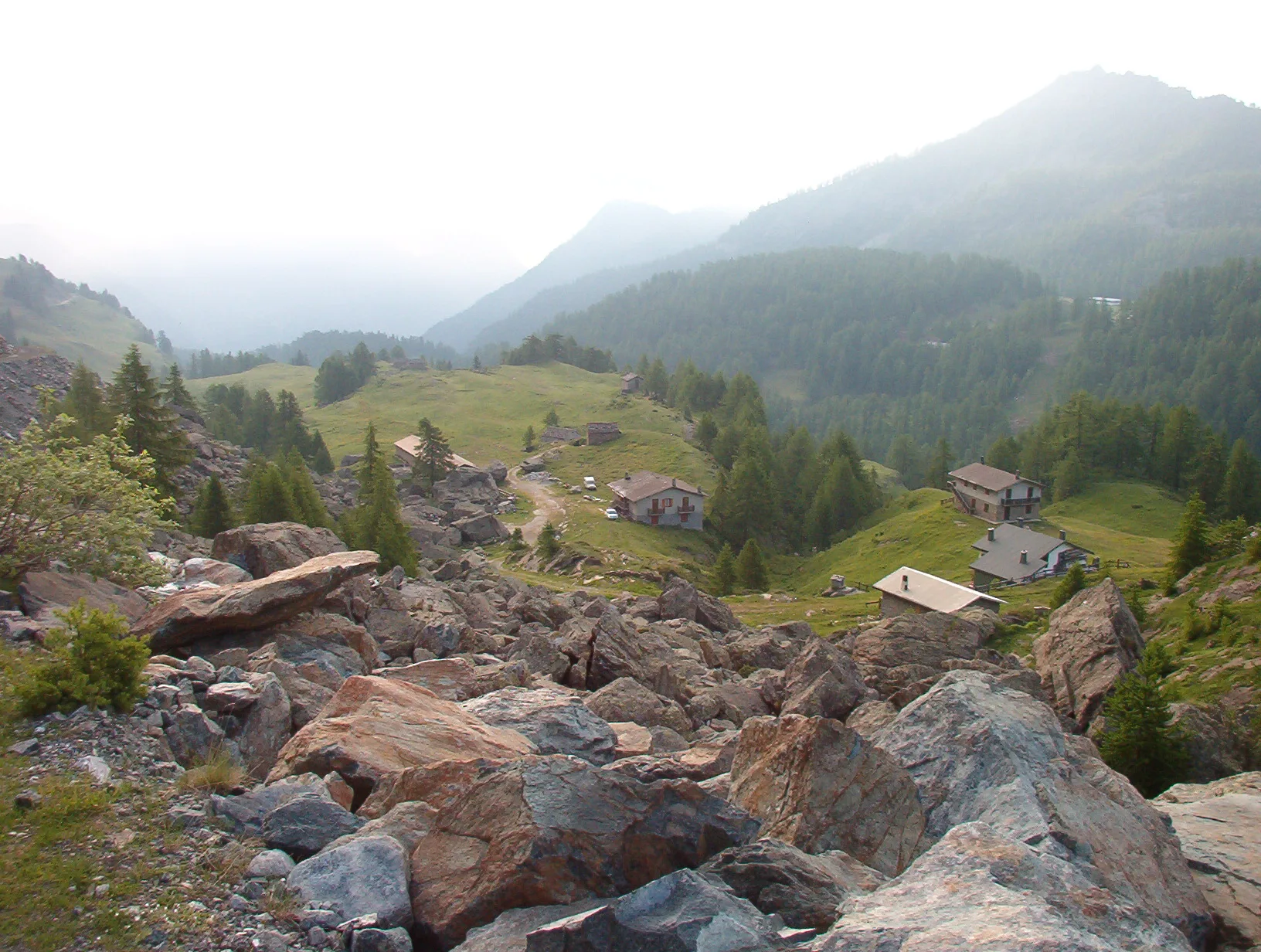
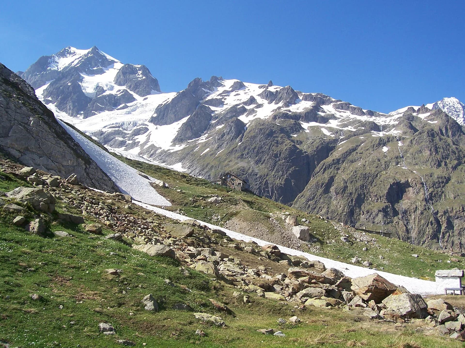
A descending stage along the royal hunting road built for Vittorio Emanuele II, dropping at an even grade from Dondena into the Ayasse valley: past a medieval bridge and the upper hamlets of Champorcher, among larch and birch woods, to the main village dominated by the square tower of the lords of Bard. The whole descent follows the engineered grade of the royal road, comfortable underfoot and rich in viewpoints over the Mont Avic park, whose dark serpentinite peaks and pine forests of uncinate pine make it one of the Alps’ most distinctive protected areas.
Ciencias de la Tierra
Geología y paisaje
Southern flank of Mont Avic: micaschists, gneiss and phyllites; glacial lakes (Misérin) and Pleistocene moraine deposits.
Historia y cultura
In Champorcher hemp growing and weaving was every family’s winter activity for centuries: the “Lou Dzeut” ecomuseum preserves its looms and skills.
Fuentes de agua
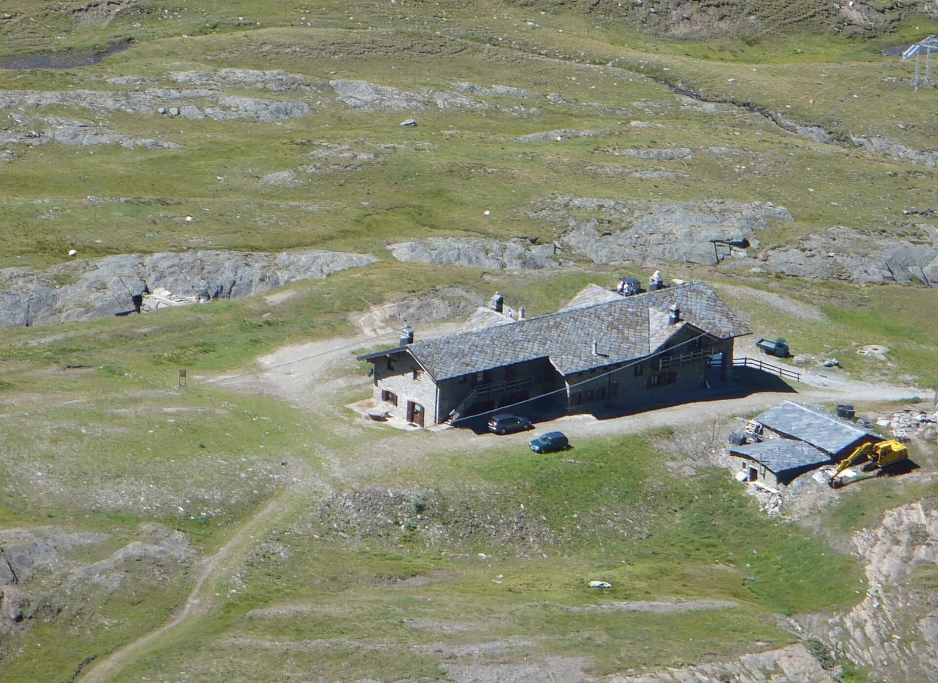
Dondena, Misérin and Sogno di Berdzé huts; Champorcher village with bar.
Cómo llegar
VITA buses and connections from Aosta; check seasonal timetables at vita.it.
Aparcamiento
Parcheggi comunali nei paesi di valle; verificare limitazioni in alta stagione.
Refugios y vivacs
Galería de fotos
Photos are published immediately. JPG/PNG/WebP, max 6 MB.
Flora del sendero
Etapas contiguas
AEditado y verificado por Andrea Rama
Fuente de datos: Catasto Sentieri Regione Autonoma VdA — Alta Via n.2 · Open data — DGR 899/2014
Última verificación:
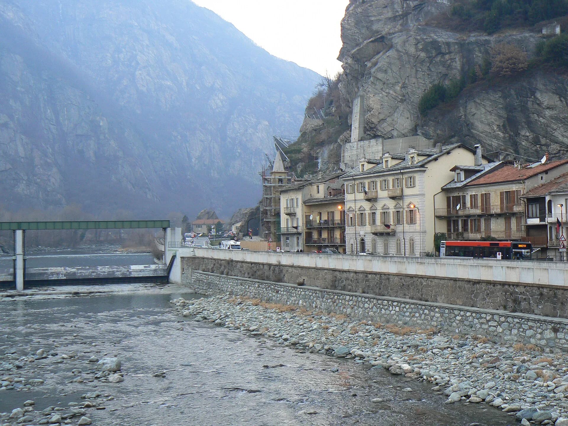
Champorcher
Senderos relacionados
Mismo valle o rutas similares — más excursiones por descubrir.
Val Veny
High Route 2 — Stage 1: Courmayeur → Rifugio Elisabetta Soldini
First stage of AV2: from Courmayeur to Rifugio Elisabetta in Val Veny, at the foot of Mont Blanc.
Val di Cogne
High Route 2 — Stage 10: Cogne → Rifugio Sogno di Berdzé
Climb from Cogne centre to Rifugio Sogno di Berdzé at Péradzà.
Bassa Valle
High Route 2 — Stage 14: Crest → Donnas
Final AV2 stage: from Retempio sanctuary to Donnas in the valley floor.
Val Veny
High Route 2 — Stage 2: Rifugio Elisabetta Soldini → La Thuile
Descent from Col des Chavannes to La Thuile across pastures and the La Thuile valley.