Refuge · 2103 m
Rifugio Dondena
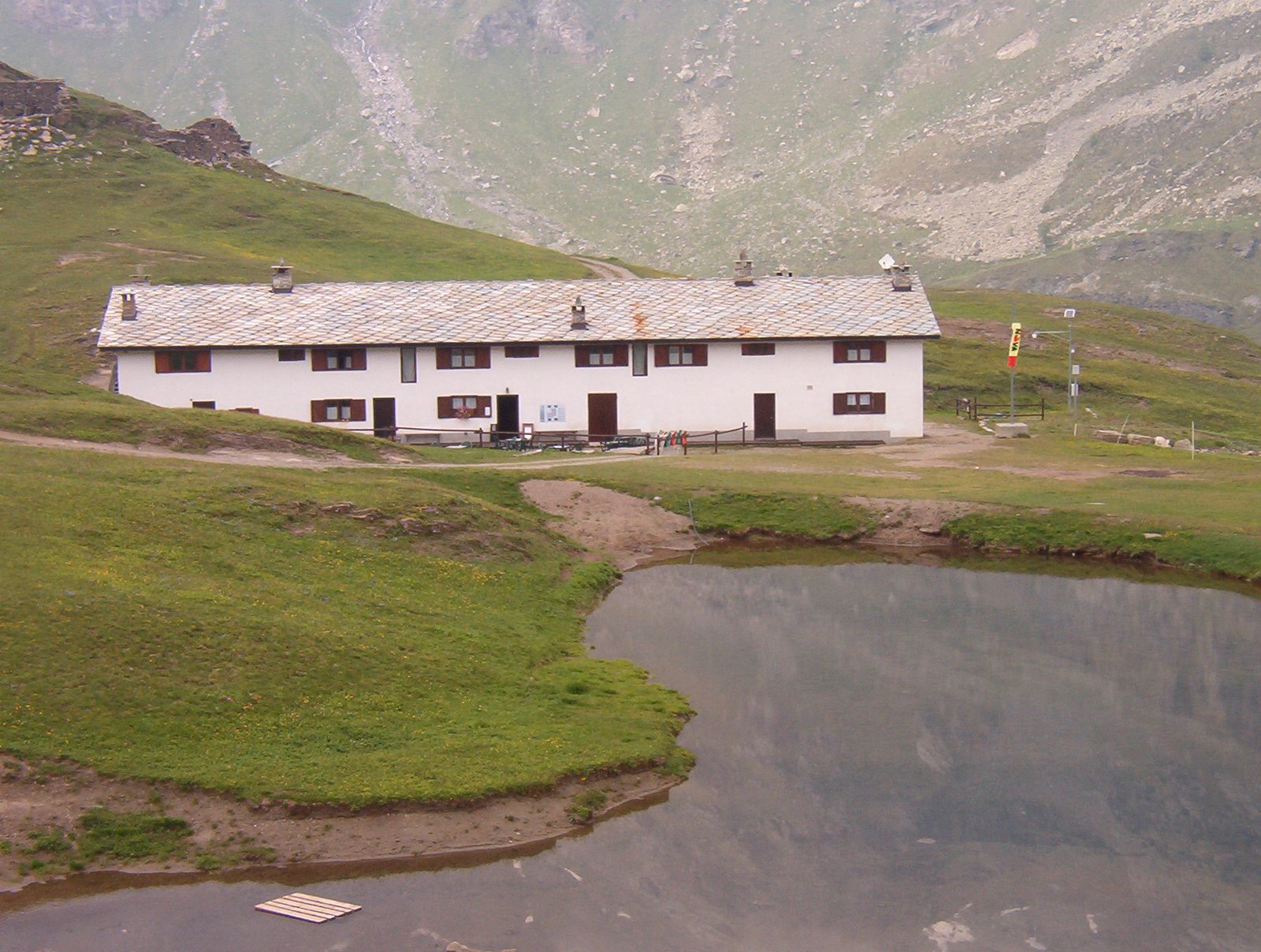
At 2,192 metres in the upper Champorcher valley, within the Mont Avic Natural Park, the Dondena refuge stands on the old royal hunting road of Vittorio Emanuele II. An Alta Via 2 stage and a base for the Fenêtre de Champorcher and Lake Miserin with its sanctuary, it is set amid vast high pastures frequented by chamois and ibex.
Altitude
2103 m
Valley
Champorcher
Beds
45
Opening
June – September
Managed by
CAI Chivasso
What to eat
Simple mountain dishes and alpine pasture cheeses.
Indicative rates
Overnight roughly €35–50.
Contact & booking
Official manager details — always check opening dates and rates on the website before you go.
Where it is
45.6121, 7.5515 · 2103 m
How to get there
- High Route 2 — Stage 11: Rifugio Sogno di Berdzé → Rifugio Dondena7.0 km · +301 mE
- High Route 2 — Stage 12: Rifugio Dondena → Champorcher6.0 km · +0 mE
- Chardonney - Rifugio Dondena6.1 km · +770 mE
- Rifugio Dondena - Col Laris5.3 km · +576 mE
- TAPPA 11: Rifugio Sogno di Berzé - Rifugio Dondena7.5 km · +0 mE
- TAPPA 12: Rifugio Dondena - Champorcher7.1 km · +0 mE
Recommended season
June – September
Effort to reach it
Difficulty of the access trails: E, +301–770 m (CAI scale).
What to bring
A sleeping-bag liner (required in many huts), cash (cards are often not accepted at altitude), a change of clothes and warm layers for the evening, a headlamp, a water bottle. Always book your bed and meals in advance, and let the hut know if you cancel.
What to do there
Enjoy dinner in good company and the sunset from the terrace. Many use the hut as a base for a dawn departure: ask the keeper about trail and weather conditions before setting out, and start light while the snow is still firm. The climbing routes are on the trail pages above.
Nearby peaks
Community gallery
Photos are published immediately. JPG/PNG/WebP, max 6 MB.
Source: lovevda.it · CAI
Rifugio Dondena