Chardonney - Rifugio Dondena
 1 / 2
1 / 26.1 km
+770 m
−0 m
3.5 h
Nivel físico
Mapa y ruta
Traza GPX — verifica sobre el terreno antes de caminar
Descripción
Puntos clave
Salida
Chardonney · 1450 m
Llegada
Rifugio Dondena · 2196 m
Sendero
S38
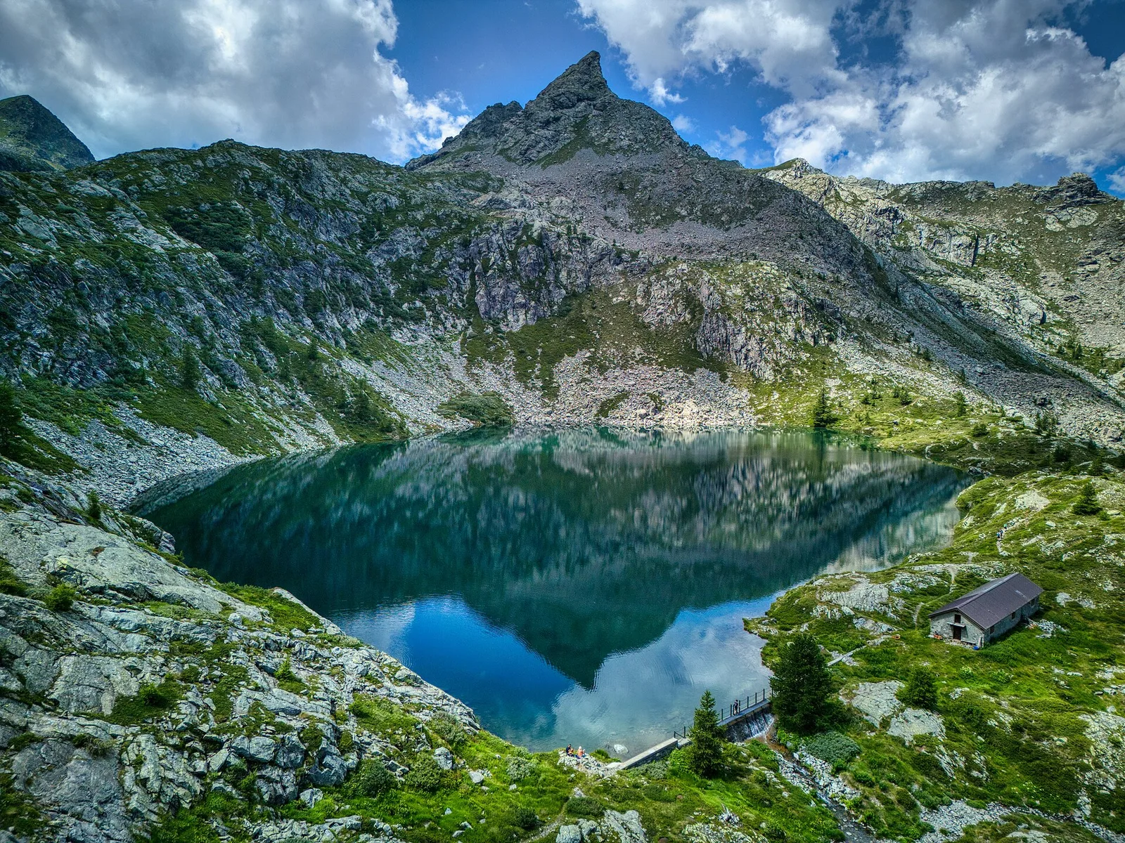
From Chardonney (1450 m), in the municipality of Champorcher, this hiking route (E) climbs to the Dondena refuge (2196 m) with about 770 metres of ascent in just over 6 kilometres. It is a progressive, steady climb through woods and alpine pastures to the broad Dondena basin, a historic high-altitude plateau dotted with huts and a base for the cols and peaks at the head of Champorcher. The moderate gradient and mostly easy surface make it a goal suited even to hikers of moderate fitness, and a good introduction to the high-mountain environment. Recommended from summer to early autumn; always check the refuge's seasonal opening.
Aparcamiento
Refugios y vivacs
Galería de fotos
Photos are published immediately. JPG/PNG/WebP, max 6 MB.
Flora del sendero
Fauna que observar
AEditado y verificado por Andrea Rama
Fuente de datos: Catasto Sentieri Regione Autonoma VdA · Open data — DGR 899/2014
Última verificación:
Valle di Champorcher
Senderos relacionados
Mismo valle o rutas similares — más excursiones por descubrir.

Valle di Champorcher
Barche - Plan Clavalité - Grand Alpe
13.9 km · +1540 m · E — from Barche to Grand Alpe (Lys Valley).

Valle di Champorcher
Castagnot - Col de Pofouey
3.8 km · +903 m · E — from Castagnot to Colle d'Arcomy (Central Valley).

Valle di Champorcher
Champorcher - Col de la Fricolla
8.8 km · +1350 m · EE — from Champorcher to Col de la Fricolla (Valtournenche).

Valle di Champorcher
Champorcher - Col Laris
10.1 km · +1406 m · E — from Champrocher to Col Laris (Valtournenche).