
E
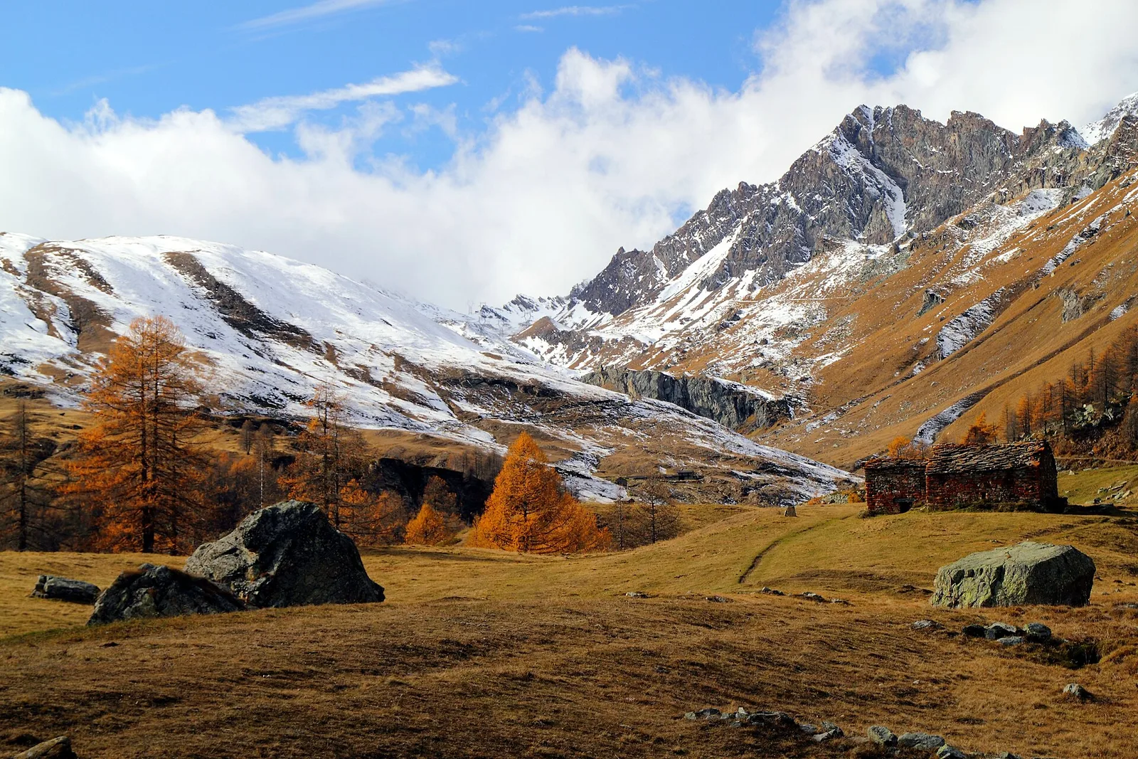
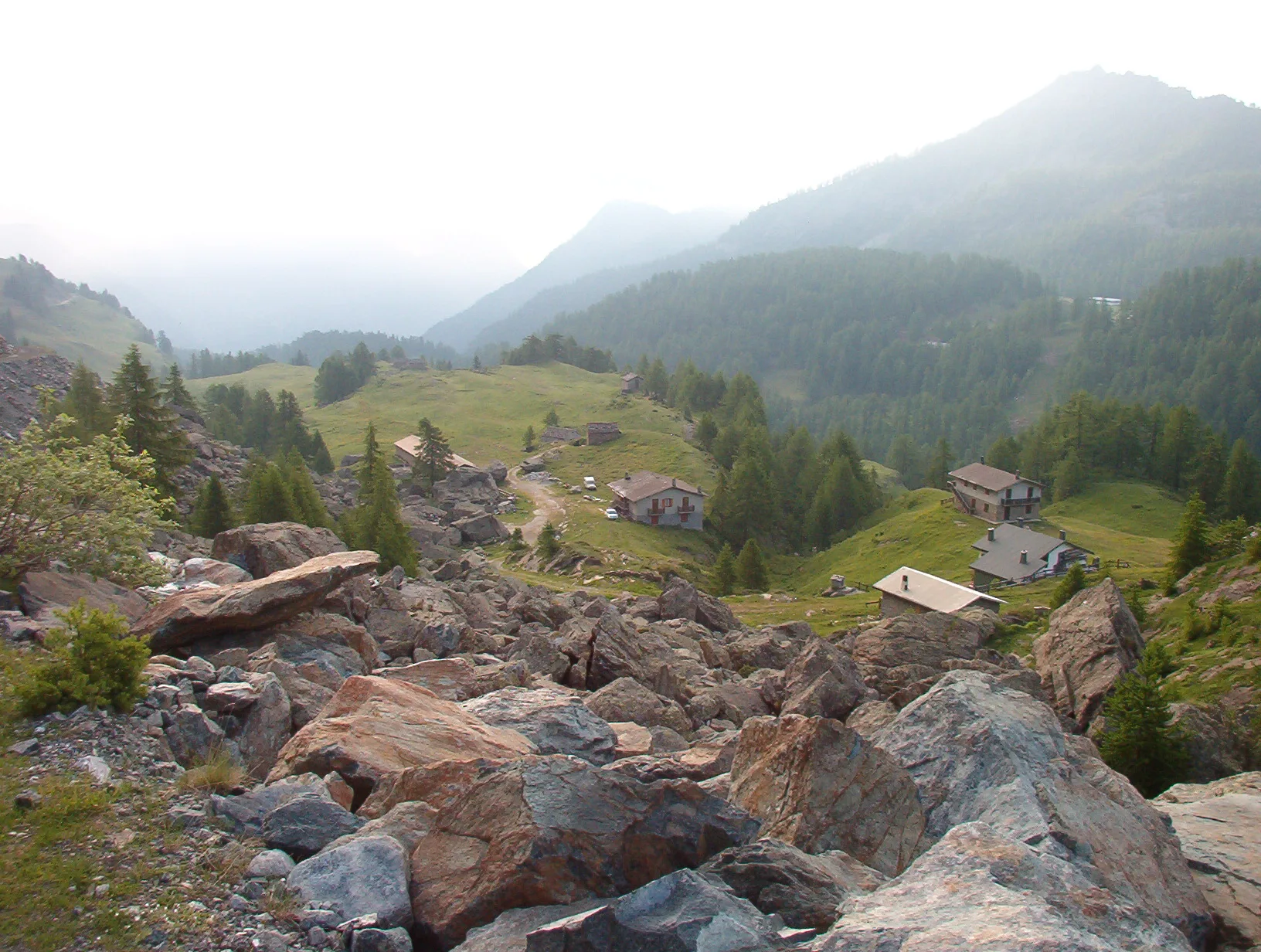
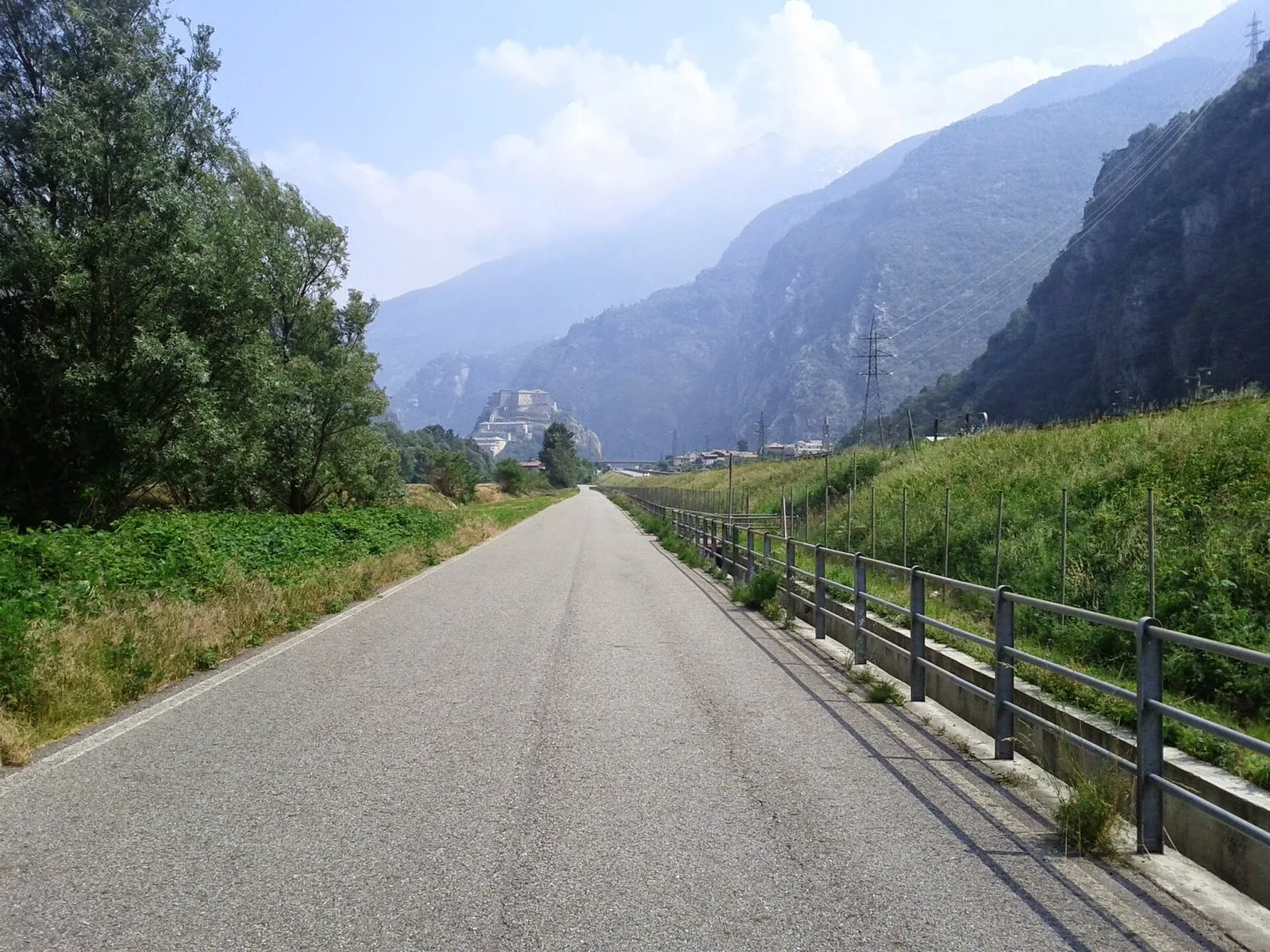
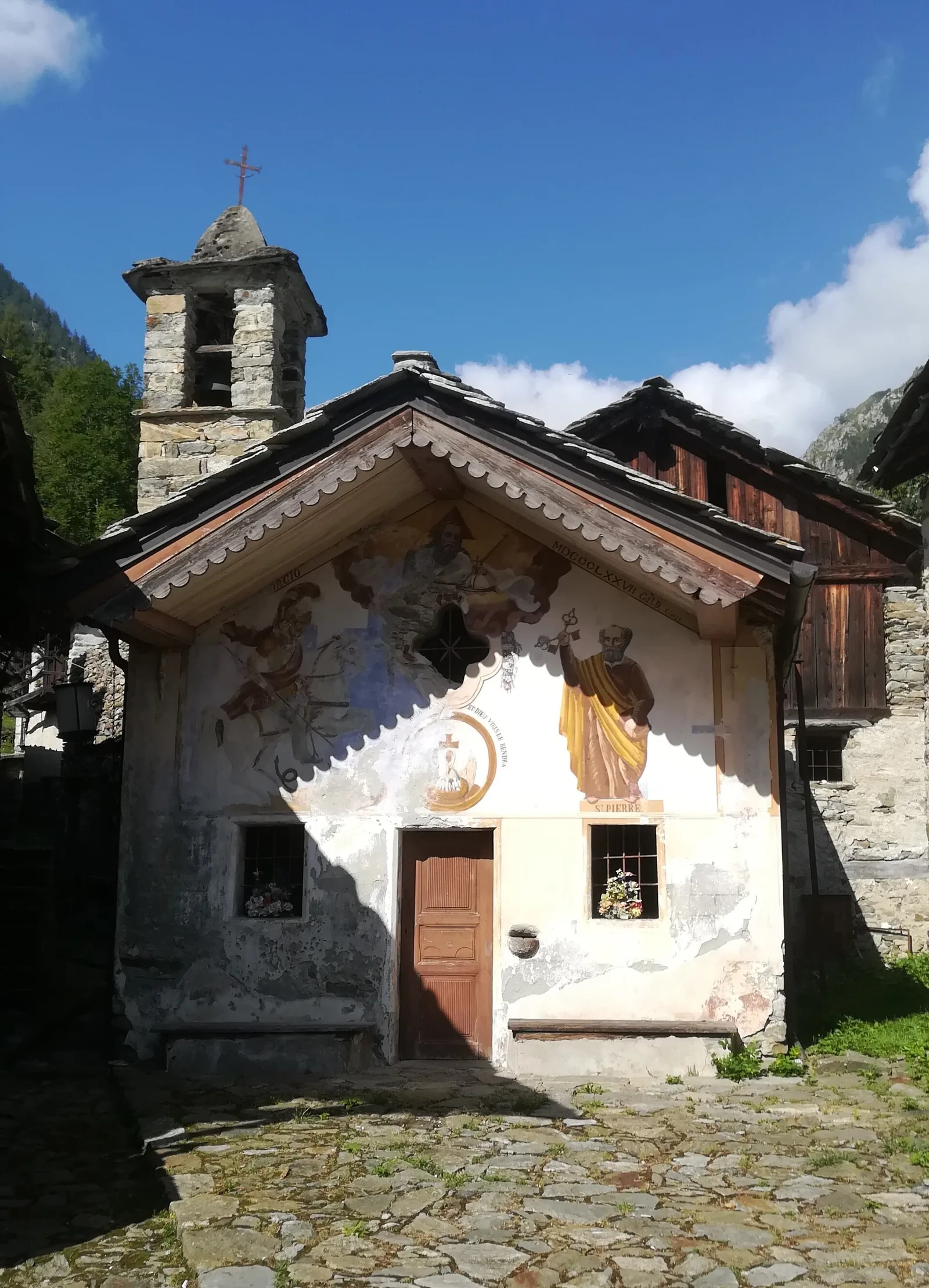
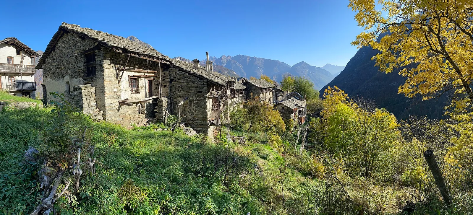
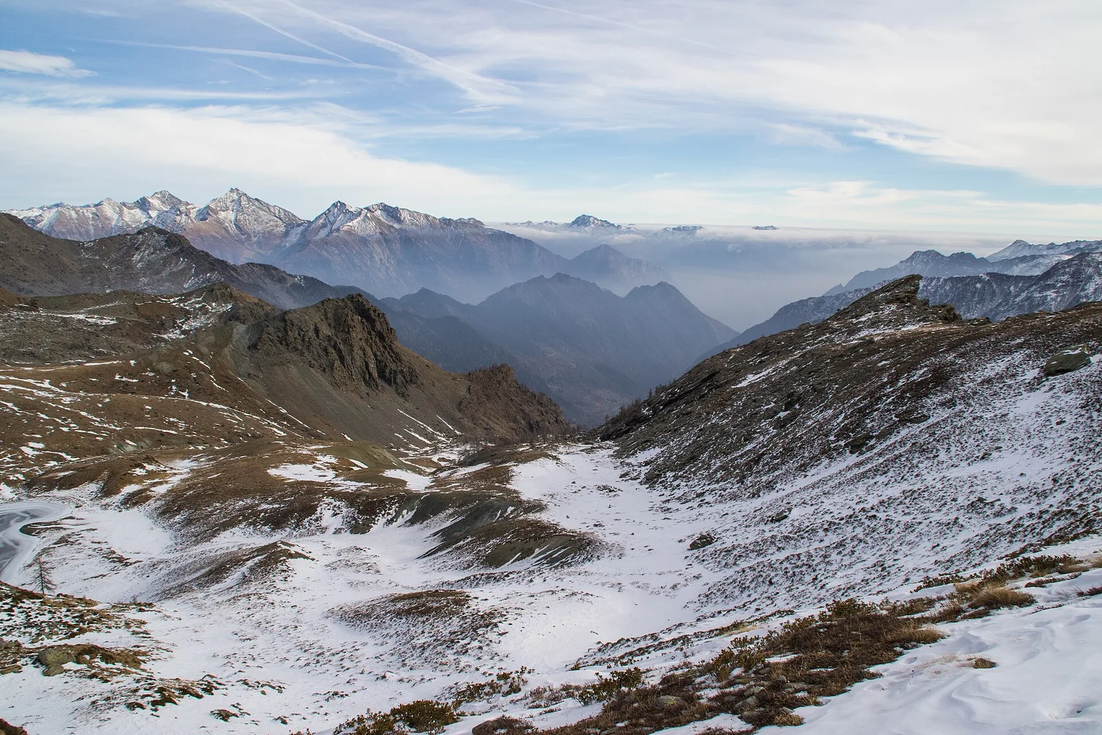
Valle di Champorcher
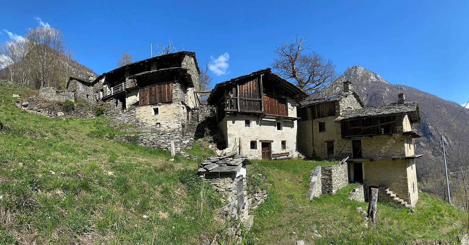
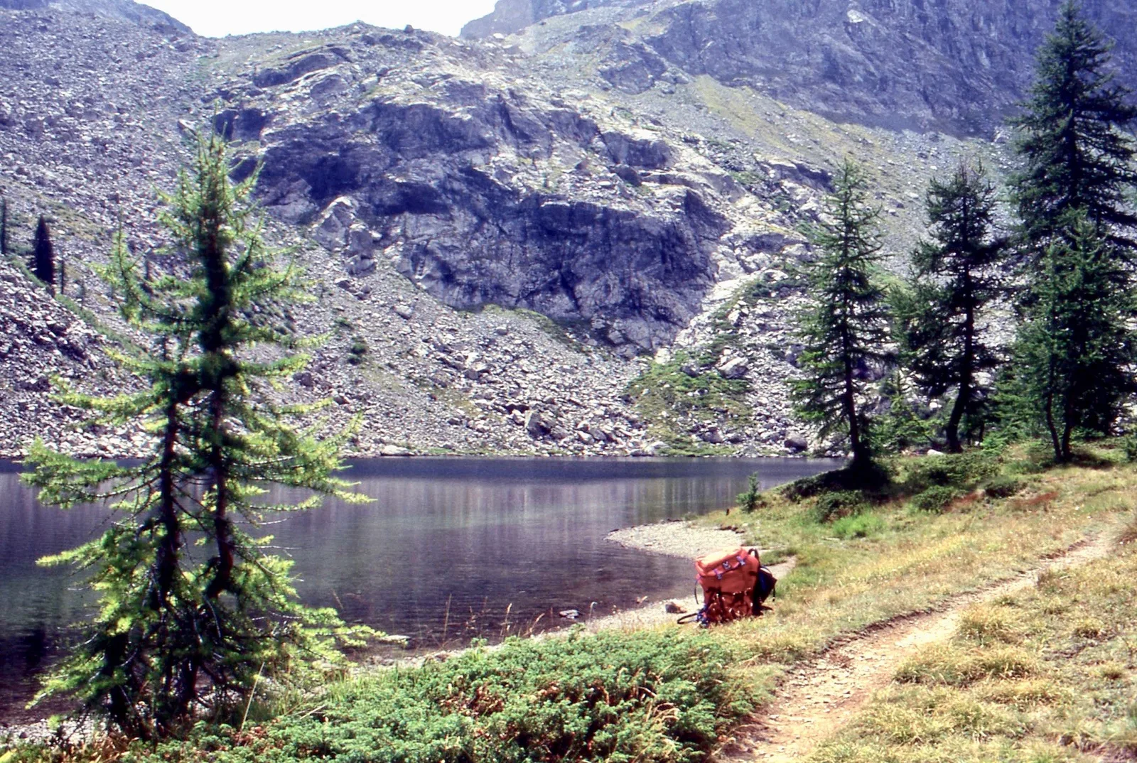
Barche - Plan Clavalité - Grand Alpe
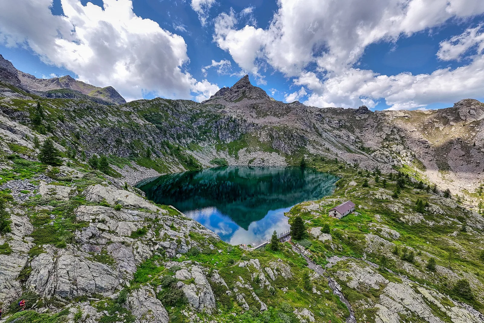
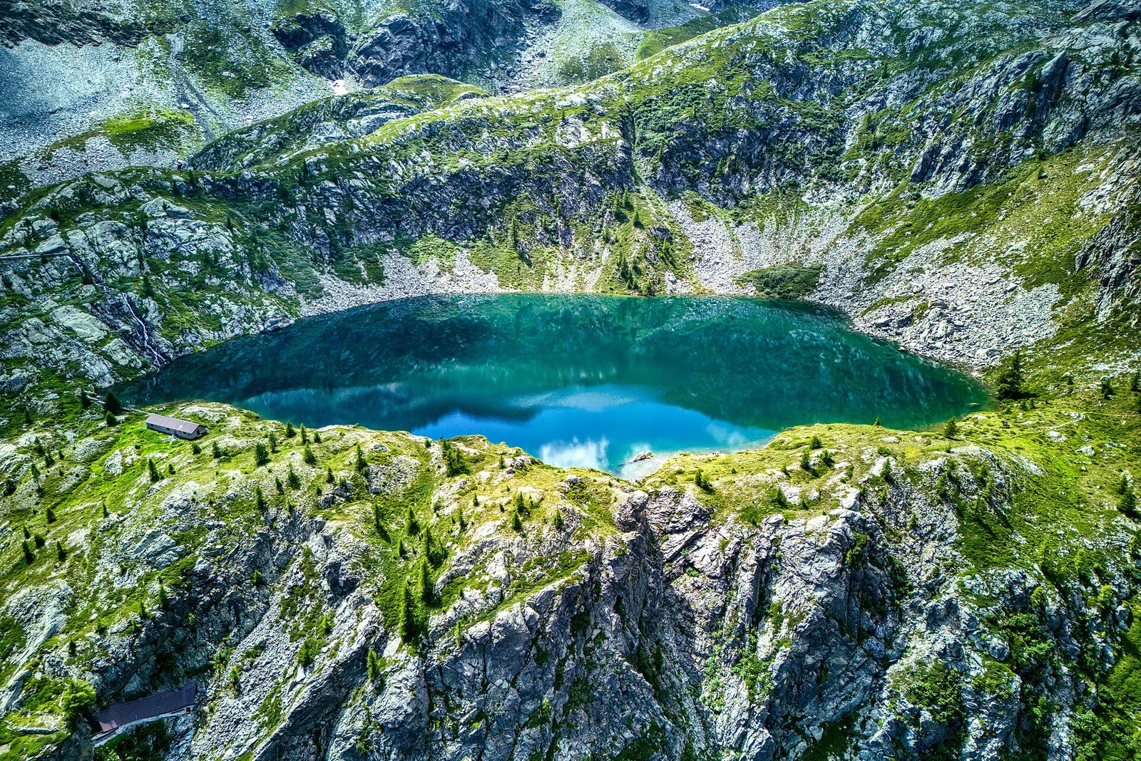
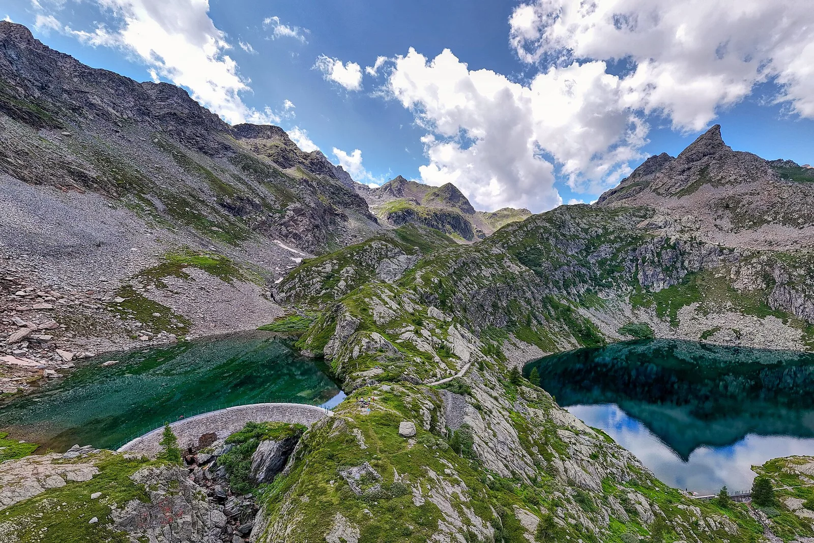
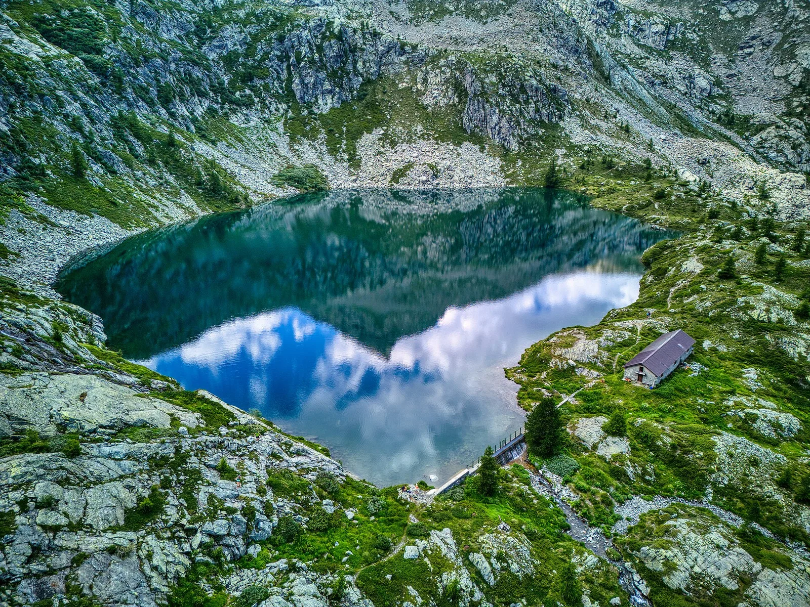
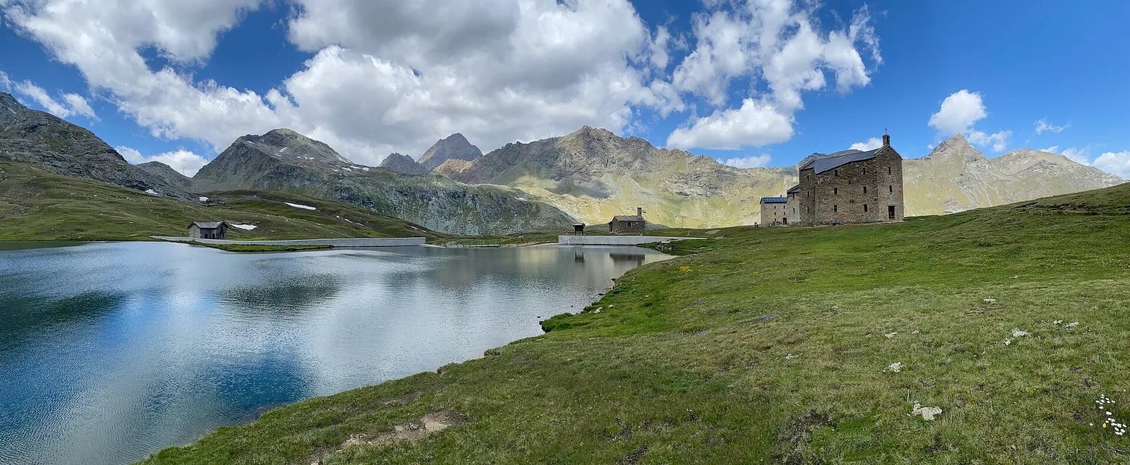
13.9 km · +1540 m · E — from Barche to Grand Alpe (Lys Valley).
13.9 km+1540 m7.5 h
Trails by valley
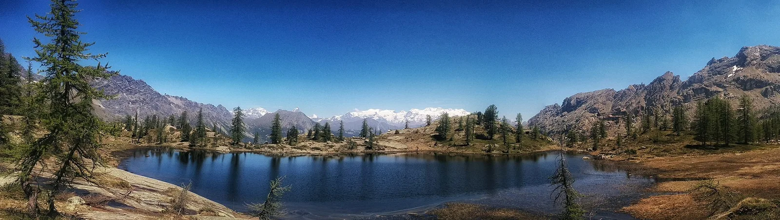
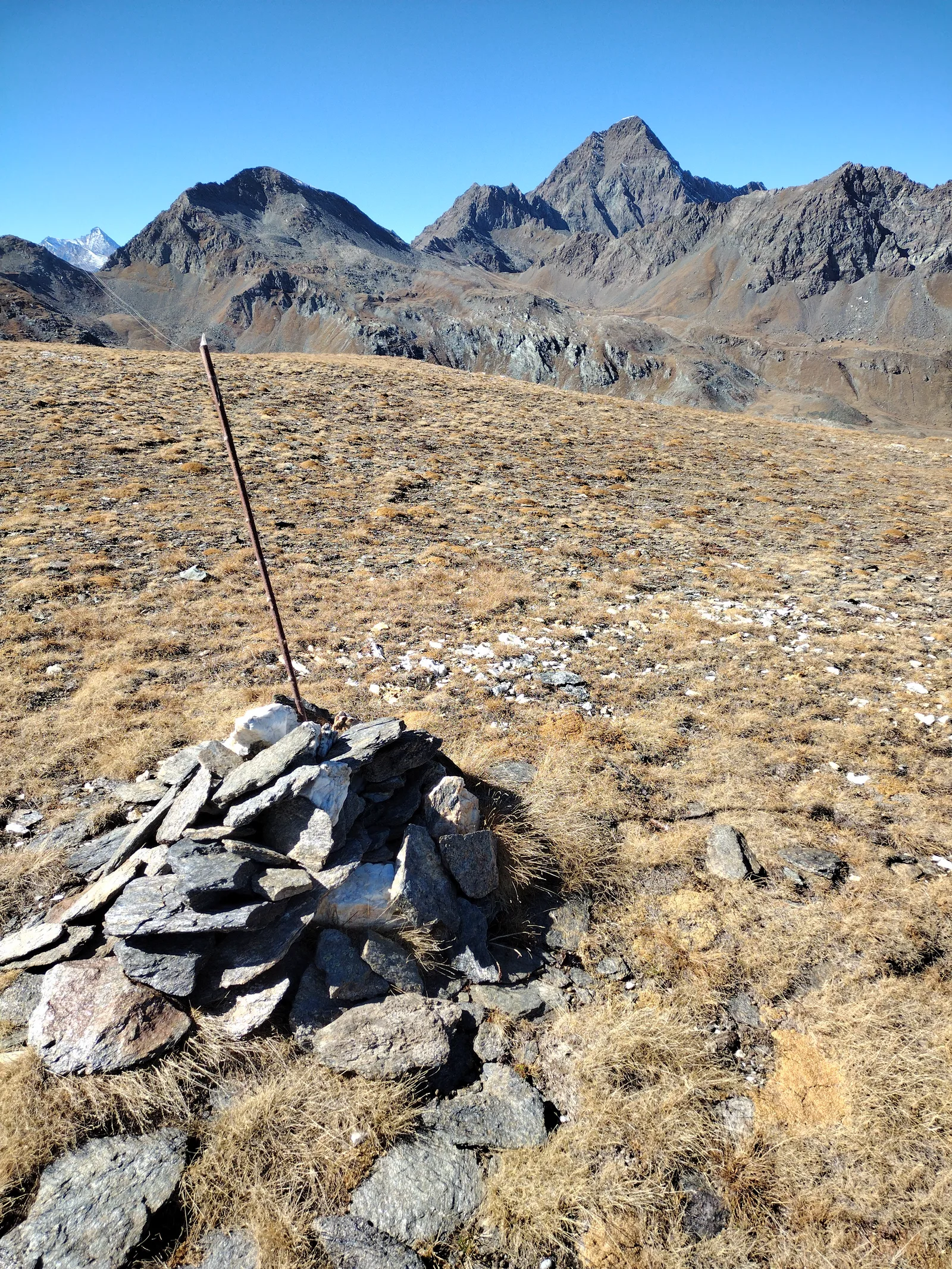
98 documented trails in Valle di Champorcher: difficulty E–EE, elevation gain 0–1861 m.
98 · 0.5–16.8 km · +0–1861 m
Valle di Champorcher
13.9 km · +1540 m · E — from Barche to Grand Alpe (Lys Valley).

Valle di Champorcher
3.8 km · +903 m · E — from Castagnot to Colle d'Arcomy (Central Valley).

Valle di Champorcher
8.8 km · +1350 m · EE — from Champorcher to Col de la Fricolla (Valtournenche).

Valle di Champorcher
10.1 km · +1406 m · E — from Champrocher to Col Laris (Valtournenche).
Valle di Champorcher
2.7 km · +567 m · E — from Chardonney to Bec de Monpey (Valtournenche).
Valle di Champorcher
6.6 km · +1044 m · E — from Chardonney to Cimetta Rossa (Valtournenche).
Valle di Champorcher
6.8 km · +1044 m · E — from Chardonney to Cimetta Rossa (Valtournenche).

Valle di Champorcher
6.7 km · +1139 m · EE — from Chardonney to Col Laris (Valtournenche).
Valle di Champorcher
4.4 km · +507 m · E — from Chardonney to Champlong (Valtournenche).
Valle di Champorcher
6.7 km · +665 m · E — from Chardonney to parcheggio Dondena (Valtournenche).

Valle di Champorcher
4.8 km · +647 m · E — from Chardonney to Parcheggio Dondena (Sentiero Scalette) (Valtournenche).
Valle di Champorcher
6.1 km · +770 m · E — from Chardonney to Rifugio Dondena (Valtournenche).
Valle di Champorcher
8 km · +1073 m · E — from Covarey to Col de la Croix (Central Valley).

Valle di Champorcher
6.6 km · +1584 m · E — from Crest-Dèsot to Col de la Fricolla (Champorcher Valley).

Valle di Champorcher
4.8 km · +708 m · E — from Fournier to Mandaz (Champorcher Valley).
Valle di Champorcher
6.7 km · +739 m · E — from Dondena to Col Fenetre de Champorcher (Valtournenche).
Valle di Champorcher
7.8 km · +1098 m · EE — from Dondena to Mont Glacier (Valtournenche).
Valle di Champorcher
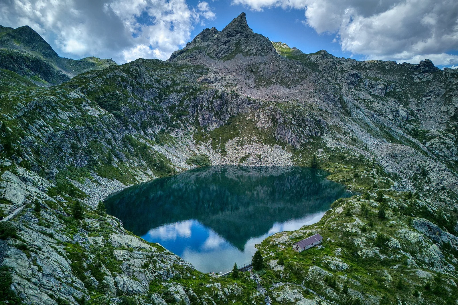
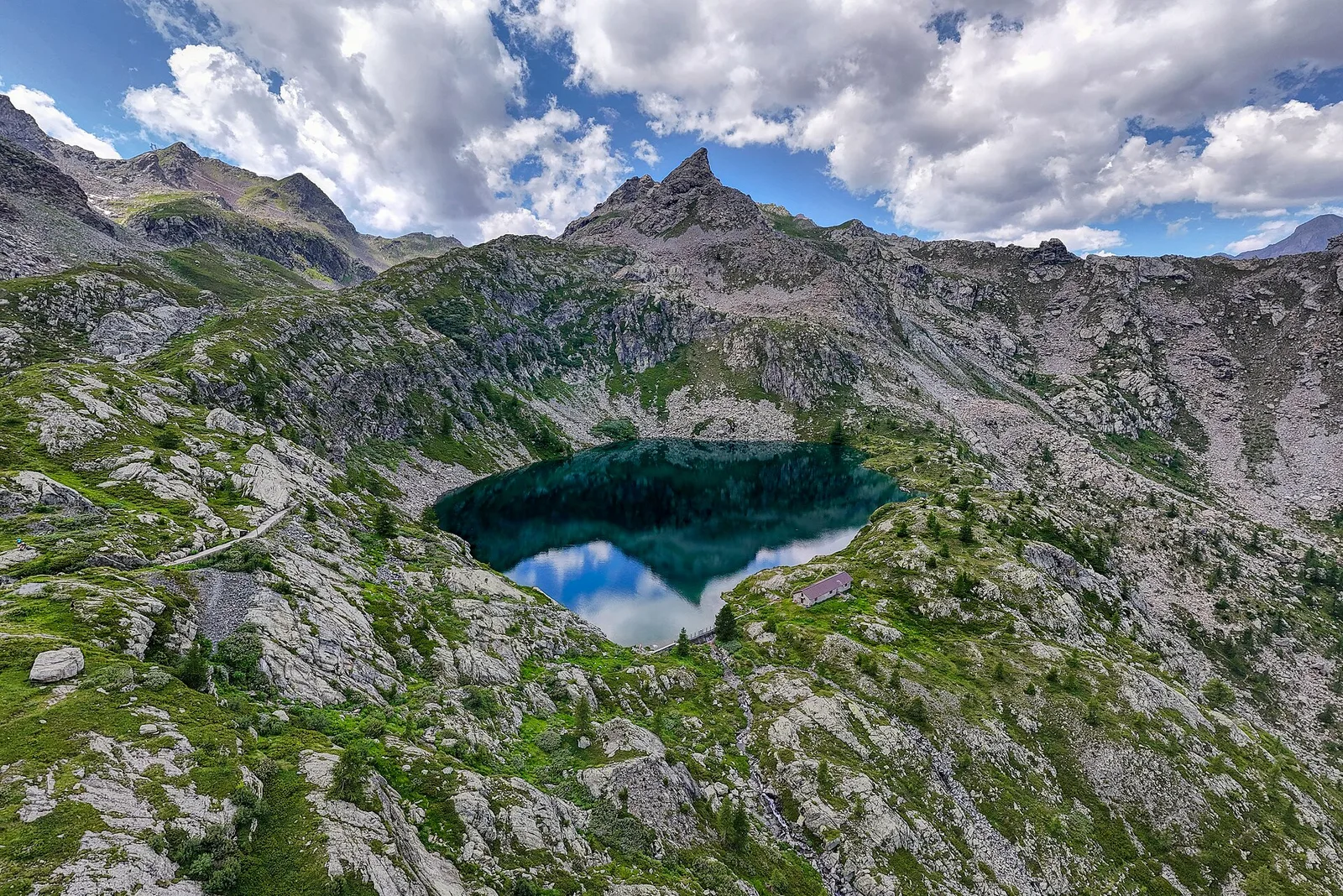
4.5 km · +487 m · E — from Dondena to Santuario al lago Miserin (Valtournenche).

Valle di Champorcher
10.8 km · +1062 m · EE — from Druges to Grande Chaux (Great St Bernard Valley).
Valle di Champorcher
7.2 km · +710 m · E — from Druges to Plan Rué (Great St Bernard Valley).
Valle di Champorcher
2.9 km · +832 m · EE — from Dublanc to Tete du Mont (Valtournenche).
Valle di Champorcher
2.9 km · +832 m · EE — from Dublanc to Tete du Mont (Champorcher Valley).
Valle di Champorcher
1.4 km · +297 m · EE — from Echelly to Grand-Rosier (Valtournenche).

Valle di Champorcher
2.3 km · +602 m · E — from Frassiney to Borney (Champorcher Valley).
Valle di Champorcher
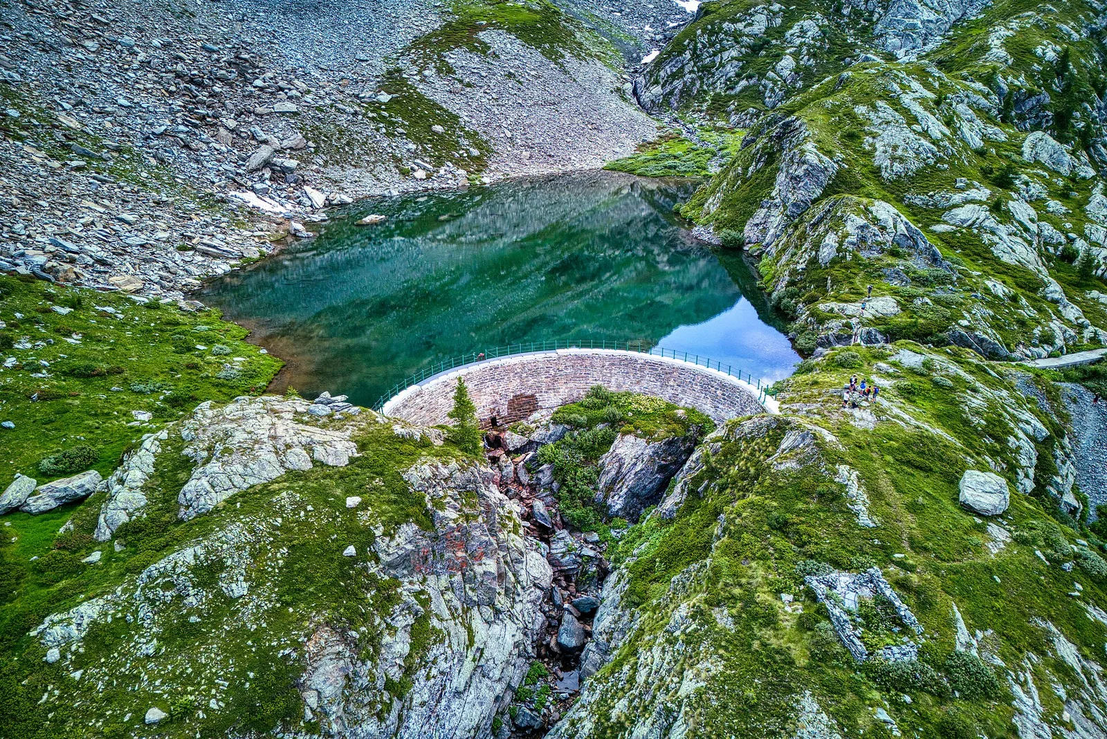
5.7 km · +0 m · E — from Parcheggio Dondena to Lac Muffé (Valtournenche).

Valle di Champorcher
2.7 km · +540 m · EE — from Gontier to Col d'Arcomy (Valtournenche).
Valle di Champorcher
1.1 km · +265 m · EE — from Gontier to Grand-Mont-Blanc (Valtournenche).

Valle di Champorcher
4 km · +755 m · EE — from Grand Alpe to Col Lavodilec (Lys Valley).

Valle di Champorcher
1.8 km · +425 m · EE — from Grand Rosier to Tete du Mont (Valtournenche).

Valle di Champorcher
1.7 km · +247 m · E — from Grand-Rosier to Col de Plan Fenetre (Valtournenche).

Valle di Champorcher
5.4 km · +633 m · E — from Piazza Municipio to Pontboset (Valsavarenche).
Valle di Champorcher
7.4 km · +929 m · E — from Strada Dondena to Gran lago (Valtournenche).

Valle di Champorcher
6.9 km · +1065 m · E — from Le Crin to Col de Médzove (Lys Valley).

Valle di Champorcher
9.3 km · +1276 m · E — from Le Crin to Col Etsély (Lys Valley).

Valle di Champorcher
8.4 km · +1277 m · EE — from Le Crin to Col Fénis (Lys Valley).

Valle di Champorcher
9 km · +1364 m · EE — from Le Crin to Col Fussy (Lys Valley).
Valle di Champorcher
9.1 km · +1362 m · EE — from Le Crin to Col Fussy (Lys Valley).

Valle di Champorcher
7.8 km · +1322 m · EE — from Le Crin to Col Lavodilec (Lys Valley).

Valle di Champorcher
8.6 km · +1305 m · EE — from Le Crin to Col Moutsaillon (Lys Valley).
Valle di Champorcher
3.5 km · +770 m · E — from Le Crin to Grand Bellalanaz (Lys Valley).

Valle di Champorcher
5.2 km · +828 m · EE — from Le Crin to La Rossaz (Lys Valley).

Valle di Champorcher
5.9 km · +804 m · EE — from Le Crin to La Tramouaille de la Rossaz (Lys Valley).
Valle di Champorcher
10.7 km · +1057 m · E — from Lillaz to Laghi Miserini (Lys Valley).
Valle di Champorcher
8.4 km · +1813 m · EE — from Lo Pian to Col de Panaz (Central Valley).
Valle di Champorcher
5 km · +865 m · EE — from Maison Blanche to Praz Premier (Lys Valley).

Valle di Champorcher
5.2 km · +1204 m · EE — from Maisonnasse to Col de Raye Chevrère (Lys Valley).

Valle di Champorcher
2.1 km · +183 m · E — from Mellier to Grand-Rosier (Valtournenche).
Valle di Champorcher
9.5 km · +1766 m · E — from Monteil to Col Pousseuil (Valtournenche).
Valle di Champorcher
9.8 km · +1837 m · EE — from Monteil to Le Give (Valtournenche).
Valle di Champorcher
5.2 km · +796 m · E — from Outre l'Eve to Alpe Chenessy (Valtournenche).

Valle di Champorcher
2.2 km · +442 m · E — from Outre l'Eve to Alpe Monpey (Valtournenche).

Valle di Champorcher
3.6 km · +478 m · E — from Outre l'Eve to Borney (Valtournenche).

Valle di Champorcher
7.3 km · +1319 m · E — from Outre l'Eve to Col de la Fricolla (Valtournenche).
Valle di Champorcher
6.9 km · +1248 m · E — from Outre l'Eve to Col Santanel (Valtournenche).
Valle di Champorcher
3.6 km · +853 m · E — from Outre l'Eve to Mont Digny (Valtournenche).

Valle di Champorcher
5.5 km · +892 m · E — from Outre l'Eve to Pian Ciampaney (Valtournenche).
Valle di Champorcher
3.5 km · +593 m · E — from Outre l'Eve to Saint-Antoine (Valtournenche).

Valle di Champorcher
4.4 km · +515 m · E — from Outre l'Eve to Outre l'Eve (Valtournenche).
Valle di Champorcher
7.4 km · +873 m · EE — from Parcheggio Dondena to Col de la Roese di Bantse (Valtournenche).
Valle di Champorcher
5.8 km · +767 m · E — from Parcheggio Dondena to Col de Moutsaillon (Valtournenche).
Valle di Champorcher
7.7 km · +812 m · E — from Parcheggio Dondena to Col Pontonnet (Valtournenche).
Valle di Champorcher
6.1 km · +624 m · E — from Parcheggio Dondena to Lac Pontonnet (Valtournenche).

Valle di Champorcher
2.6 km · +507 m · EE — from Petit-Rosier to Col d'Arcomy (Valtournenche).
Valle di Champorcher
1.4 km · +381 m · EE — from Petit-Rosier to Col de Poussauel (Valtournenche).
Valle di Champorcher
8.2 km · +936 m · E — from Pommier to Plan Clavalité (Lys Valley).

Valle di Champorcher
4 km · +727 m · E — from Pontboset to Santuario di Retempio (Champorcher Valley).
Valle di Champorcher
2.9 km · +376 m · EE — from Remoran to Col d'Arcomy (Valtournenche).
Valle di Champorcher
2.1 km · +331 m · EE — from Remoran to Col Terre Rousse (Valtournenche).

Valle di Champorcher
5.2 km · +468 m · E — from Rifugio Barbustel to Col de Mézove (Central Valley).
Valle di Champorcher
5.3 km · +576 m · E — from Rifugio Dondena to Col Laris (Valtournenche).

Valle di Champorcher
4 km · +700 m · E — from Varesa to Santuario di Retempio (Champorcher Valley).

Valle di Champorcher
3.5 km · +745 m · EE — from Strada Dondena to Cima Piana (Valtournenche).

Valle di Champorcher
3.5 km · +639 m · EE — from Strada Dondena to Col Cima Piana (Valtournenche).

Valle di Champorcher
3.5 km · +639 m · EE — from Strada Dondena to Col Cima Piana (Valtournenche).
Valle di Champorcher
2.5 km · +542 m · E — from Strada Dondena to Col Lago Bianco (Valtournenche).

Valle di Champorcher
0.8 km · +258 m · EE — from Strada Dondena to Col Terre Rousse (Valtournenche).

Valle di Champorcher
6.4 km · +967 m · E — from Strada Dondena to Parcheggio Dondena (Valtournenche).
Valle di Champorcher
3.4 km · +478 m · E — from Strada Dondena to Raty desot (Valtournenche).
Valle di Champorcher
7.5 km · +0 m · E — from Rifugio Sogno di Berzé to Rifugio Dondena (Lys Valley).
Valle di Champorcher
7.1 km · +0 m · E — from Rifugio Dondena to Capoluogo (Valtournenche).

Valle di Champorcher
15 km · +0 m · E — from Capoluogo to Crest (Valtournenche).
Valle di Champorcher
15.6 km · +0 m · E — from Crest to Capoluogo (Champorcher Valley).
Valle di Champorcher
16.8 km · +808 m · E — from Verrès to Pontboset (Valtournenche).

Valle di Champorcher
0.5 km · +167 m · E — from Terrisse to Attacco Mont Charvatton (Champorcher Valley).

Valle di Champorcher
5.7 km · +1300 m · E — from Fournier to Mont Digny (Champorcher Valley).
Valle di Champorcher
7.5 km · +1421 m · E — from Varesa to Lago di Leseney (Champorcher Valley).
Valle di Champorcher
6.2 km · +1184 m · E — from Varesa to Buriana (Champorcher Valley).

Valle di Champorcher
5.2 km · +1722 m · E — from Varesa to Chavanna (Champorcher Valley).

Valle di Champorcher
7.4 km · +1789 m · E — from Varesa to Col de la Fricolla (Champorcher Valley).
Valle di Champorcher
9 km · +1861 m · EE — from Veulla to Grand Lac (Central Valley).
Valle di Champorcher
From Veulla (1286 m) to Lac Gelé (2606 m) above Charvensod: 1311 m of sustained ascent to a glacial tarn easily reached from the city of Aosta.
Valle di Champorcher
11.1 km · +1272 m · E — from Veulla to Gran lago (Central Valley).

Valle di Champorcher
7 km · +910 m · E — from Veulla to Rifugio Barbustel (Central Valley).
Valle di Champorcher
7.2 km · +1020 m · E — from Veulla to Col du Lac Blanc (Central Valley).

Valle di Champorcher
3 km · +279 m · E — from Veulla to Ruderi Alto Forno (Central Valley).

Valle di Champorcher
2.8 km · +601 m · E — from Visey dessus to Col Terre Rousse (Central Valley).
Valle di Champorcher
2.8 km · +530 m · E — from Visey damon to Col d'Arcomy (Central Valley).

Valle di Champorcher
4.4 km · +948 m · E — from Vesey damon to Col de Pana (Central Valley).