Parcheggio Dondena - Col Pontonnet
7.7 km
+812 m
−0 m
4 h
Nivel físico
Mapa y ruta
Traza GPX — verifica sobre el terreno antes de caminar
Descripción
Puntos clave
Salida
Parcheggio Dondena · 2103 m
Llegada
Col Pontonnet · 2897 m
Sendero
S35
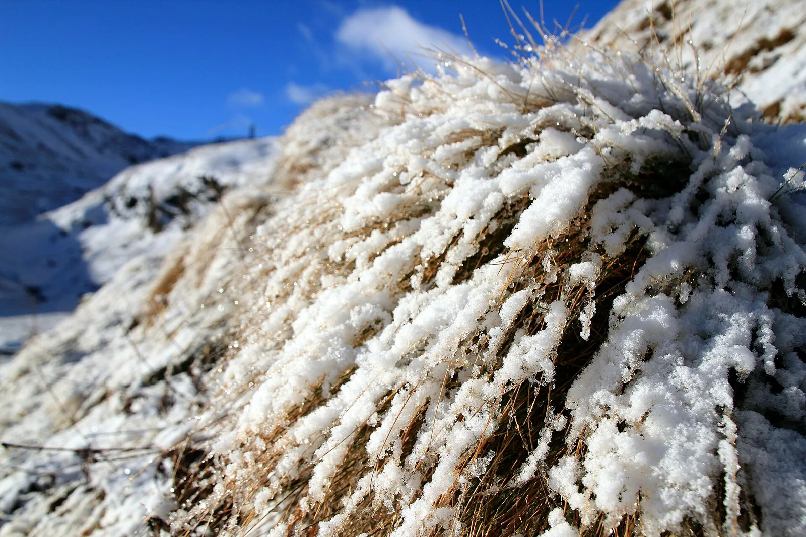
From the Dondena car park (2103 m), in the upper Champorcher valley, this hiking route (E) reaches the Col Pontonnet (2897 m) with about 800 metres of ascent over 7.7 kilometres, starting already in the full alpine belt. You walk through the broad Dondena basin among pastures and scree, climbing towards the pass that looks out above three thousand metres over the neighbouring valleys. It is a high-altitude route, well beyond the treeline from the start: despite the hiking grade it calls for fitness for its length and attention to weather, which changes quickly at altitude. From the col the panorama embraces the head of Champorcher and the ridges separating it from Piedmont. Summer is the recommended season.
Aparcamiento
Galería de fotos
Photos are published immediately. JPG/PNG/WebP, max 6 MB.
Flora del sendero
AEditado y verificado por Andrea Rama
Fuente de datos: Catasto Sentieri Regione Autonoma VdA · Open data — DGR 899/2014
Última verificación:
Valle di Champorcher
Senderos relacionados
Mismo valle o rutas similares — más excursiones por descubrir.

Valle di Champorcher
Barche - Plan Clavalité - Grand Alpe
13.9 km · +1540 m · E — from Barche to Grand Alpe (Lys Valley).

Valle di Champorcher
Castagnot - Col de Pofouey
3.8 km · +903 m · E — from Castagnot to Colle d'Arcomy (Central Valley).

Valle di Champorcher
Champorcher - Col de la Fricolla
8.8 km · +1350 m · EE — from Champorcher to Col de la Fricolla (Valtournenche).

Valle di Champorcher
Champorcher - Col Laris
10.1 km · +1406 m · E — from Champrocher to Col Laris (Valtournenche).