Gontier - Grand-Mont-Blanc
1.1 km
+265 m
−0 m
1 h
Nivel físico
Mapa y ruta
Traza GPX — verifica sobre el terreno antes de caminar
Descripción
Puntos clave
Salida
Gontier · 1440 m
Llegada
Grand-Mont-Blanc · 1679 m
Sendero
S14
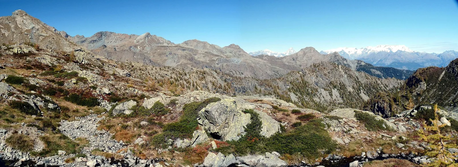
Gontier - Grand-Mont-Blanc is an official trail from the Aosta Valley trail registry (code 18_S14). The route lies in the municipality of Châtillon, in the Valtournenche. From Gontier (1440 m) to Grand-Mont-Blanc (1679 m): 1.1 km with +265 m of elevation change, difficulty EE (CAI scale). Minimum elevation 1440 m, maximum 1679 m. Recommended season per registry: giugno, luglio, agosto, settembre (months 6, 7, 8, 9). GPX track and elevation data from Regione Autonoma Valle d'Aosta (open data DGR 899/2014).
Aparcamiento
Galería de fotos
Photos are published immediately. JPG/PNG/WebP, max 6 MB.
Flora del sendero
Fauna que observar
AEditado y verificado por Andrea Rama
Fuente de datos: Catasto Sentieri Regione Autonoma VdA · Open data — DGR 899/2014
Última verificación:
Valle di Champorcher
Senderos relacionados
Mismo valle o rutas similares — más excursiones por descubrir.

Valle di Champorcher
Barche - Plan Clavalité - Grand Alpe
13.9 km · +1540 m · E — from Barche to Grand Alpe (Lys Valley).

Valle di Champorcher
Castagnot - Col de Pofouey
3.8 km · +903 m · E — from Castagnot to Colle d'Arcomy (Central Valley).

Valle di Champorcher
Champorcher - Col de la Fricolla
8.8 km · +1350 m · EE — from Champorcher to Col de la Fricolla (Valtournenche).

Valle di Champorcher
Champorcher - Col Laris
10.1 km · +1406 m · E — from Champrocher to Col Laris (Valtournenche).