E
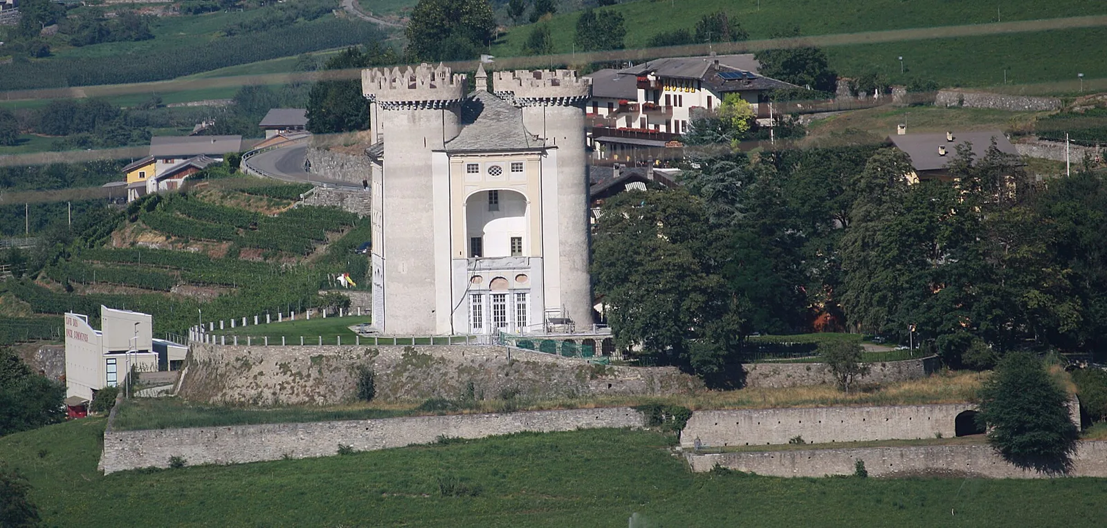
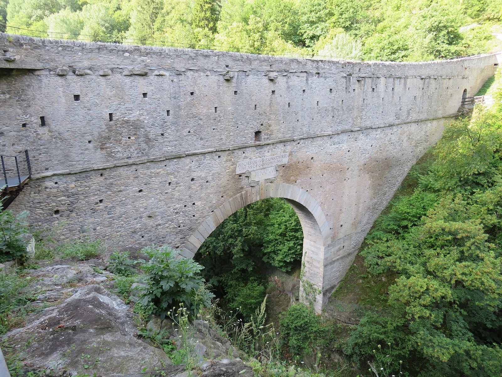
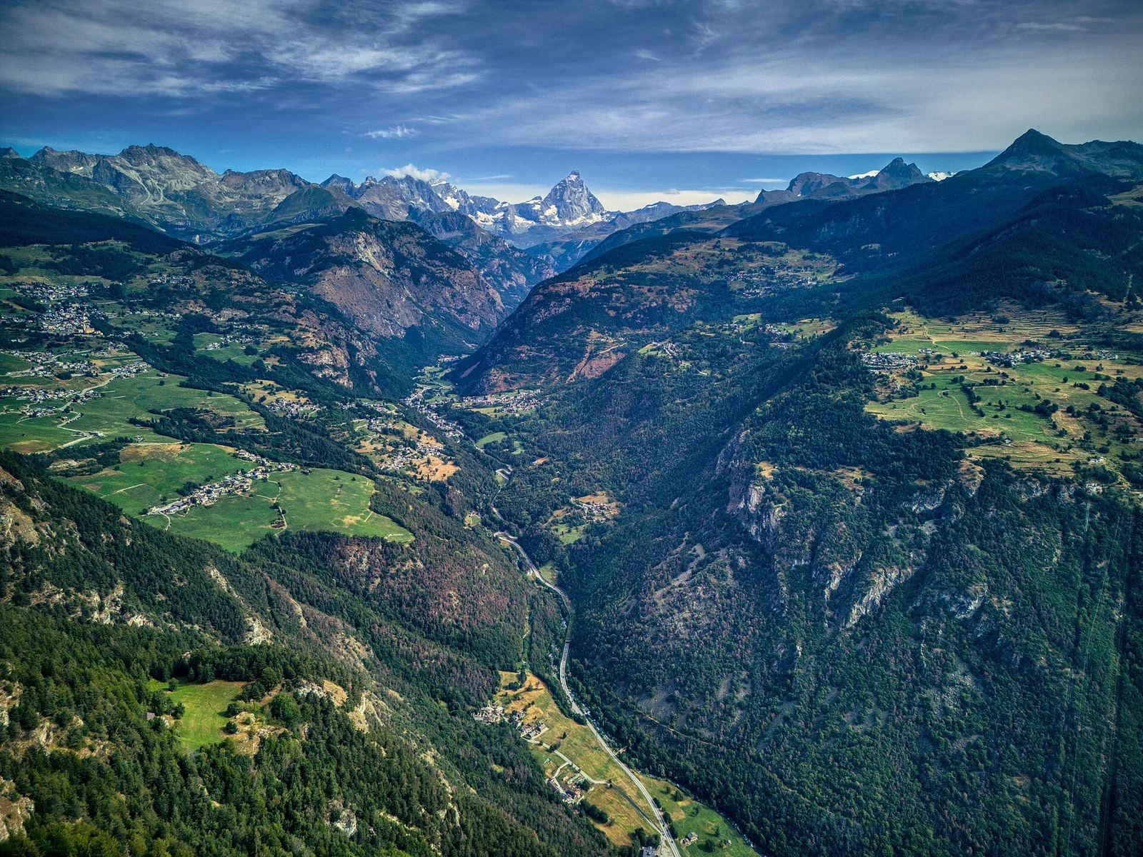
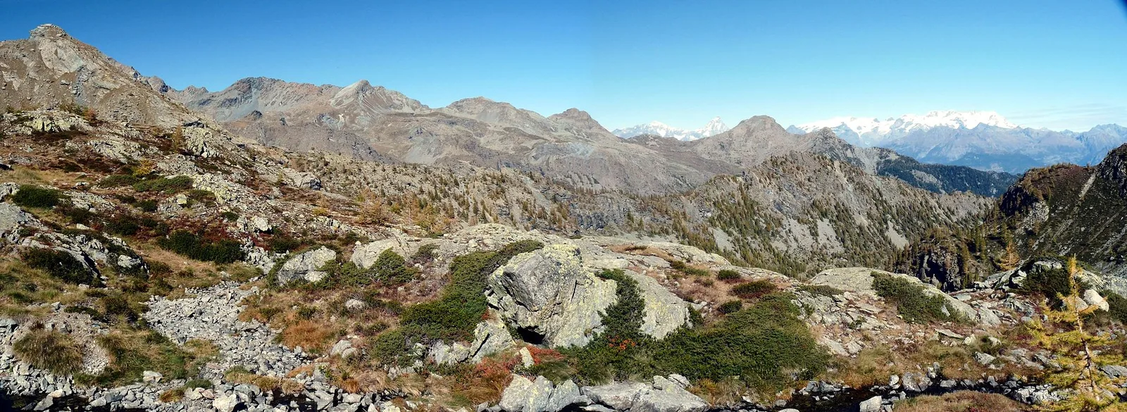
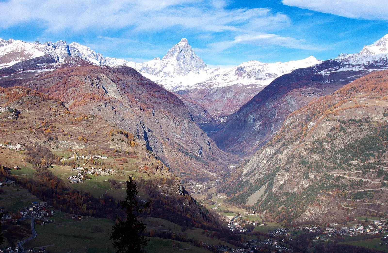
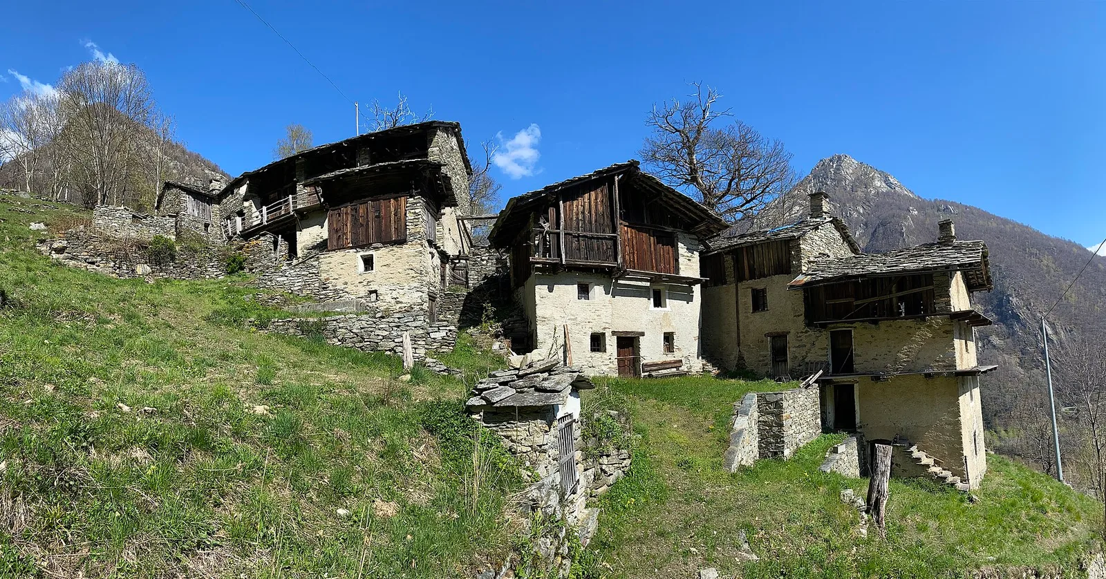
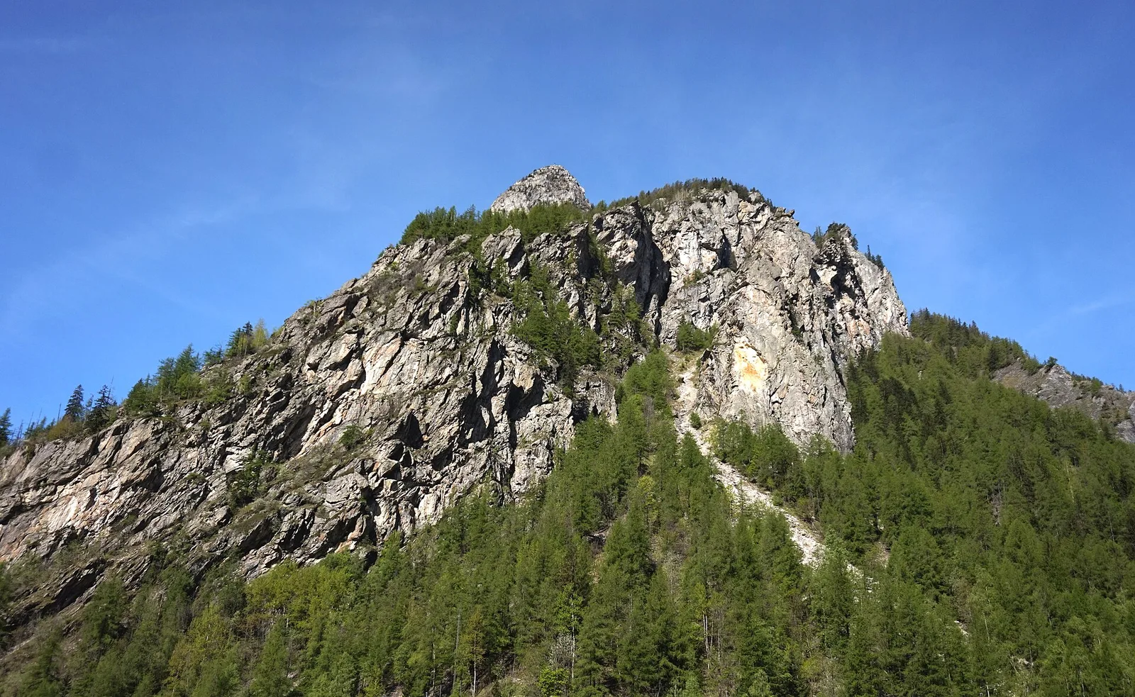
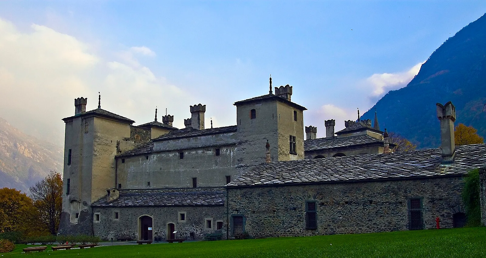
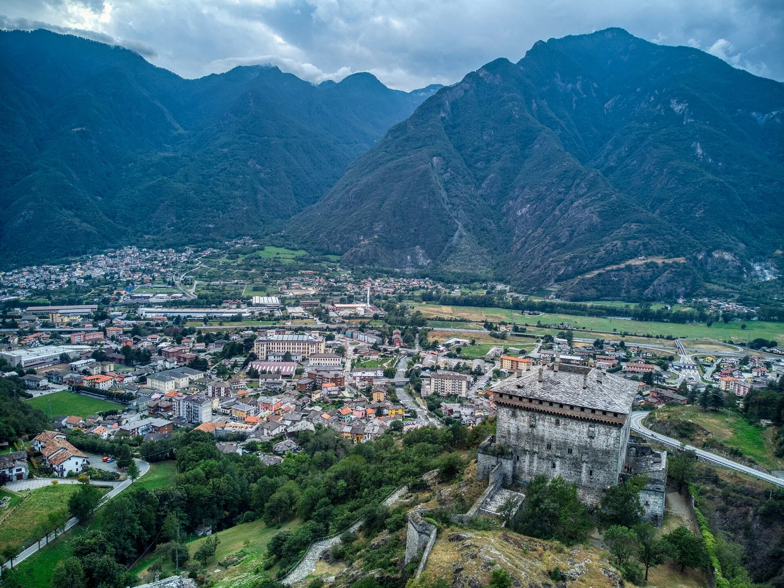
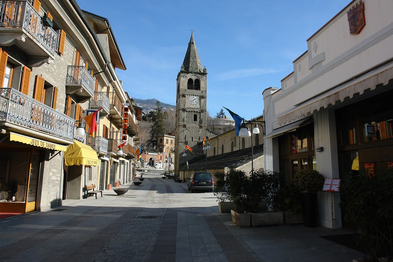
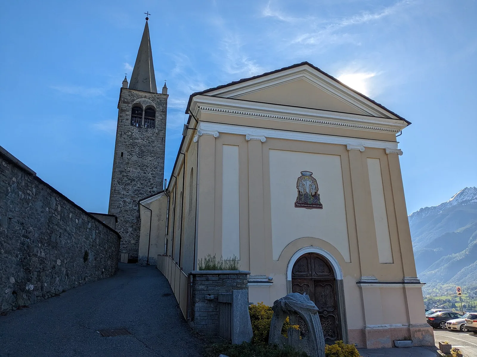
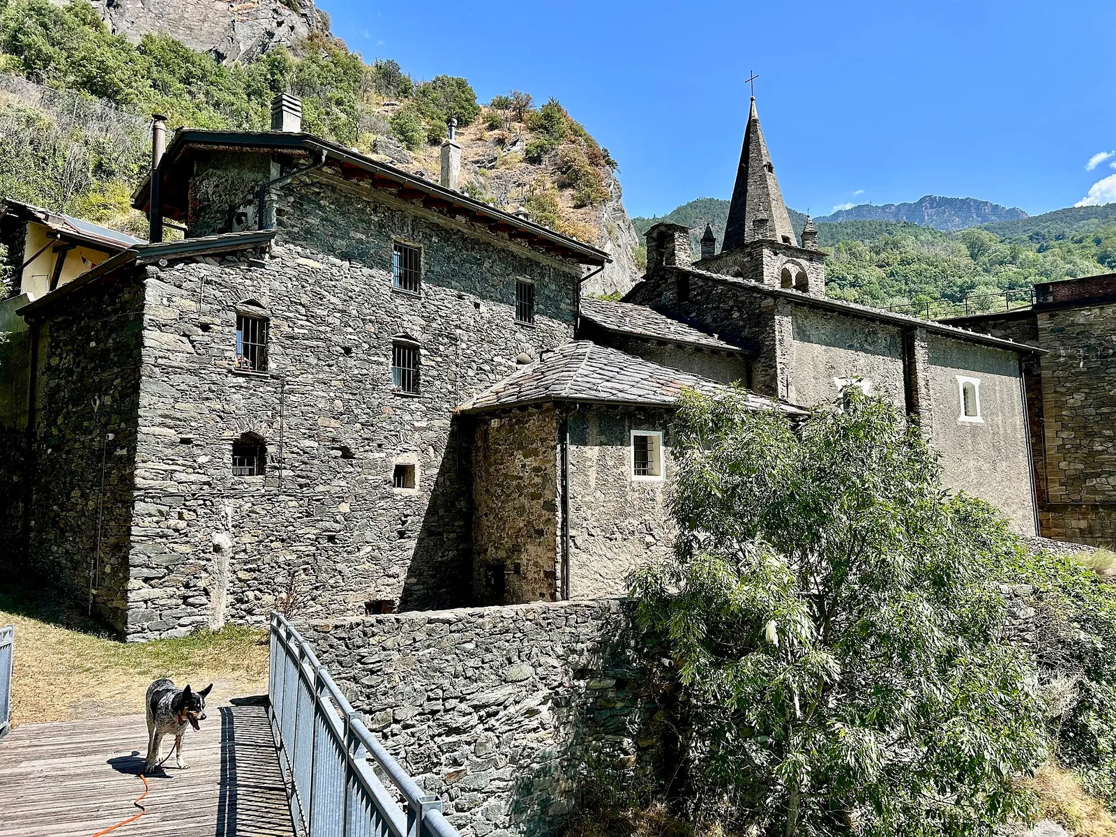
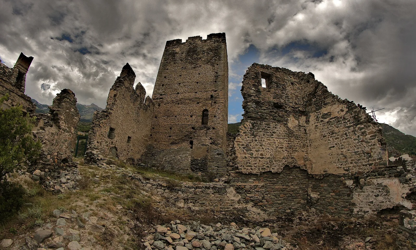
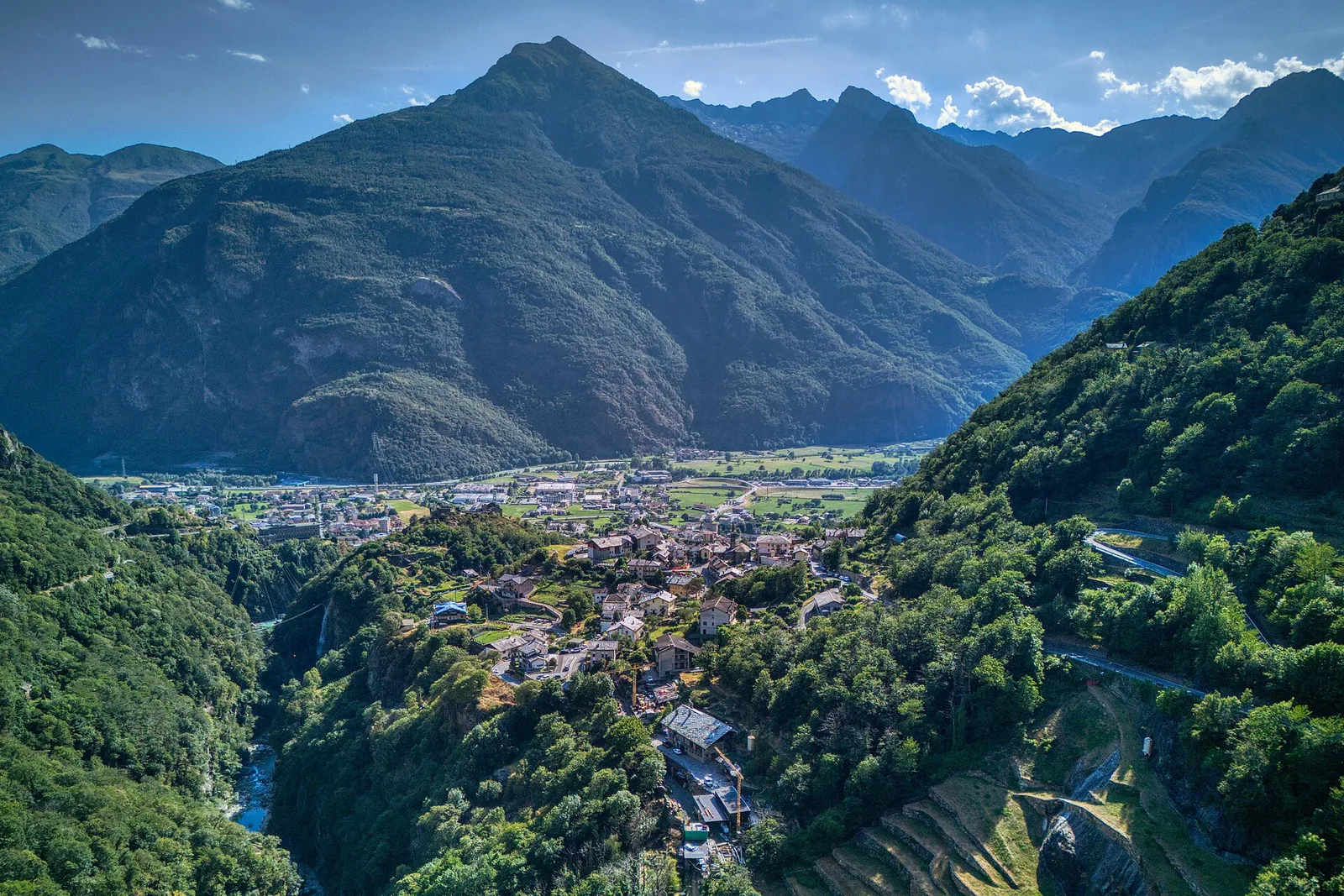
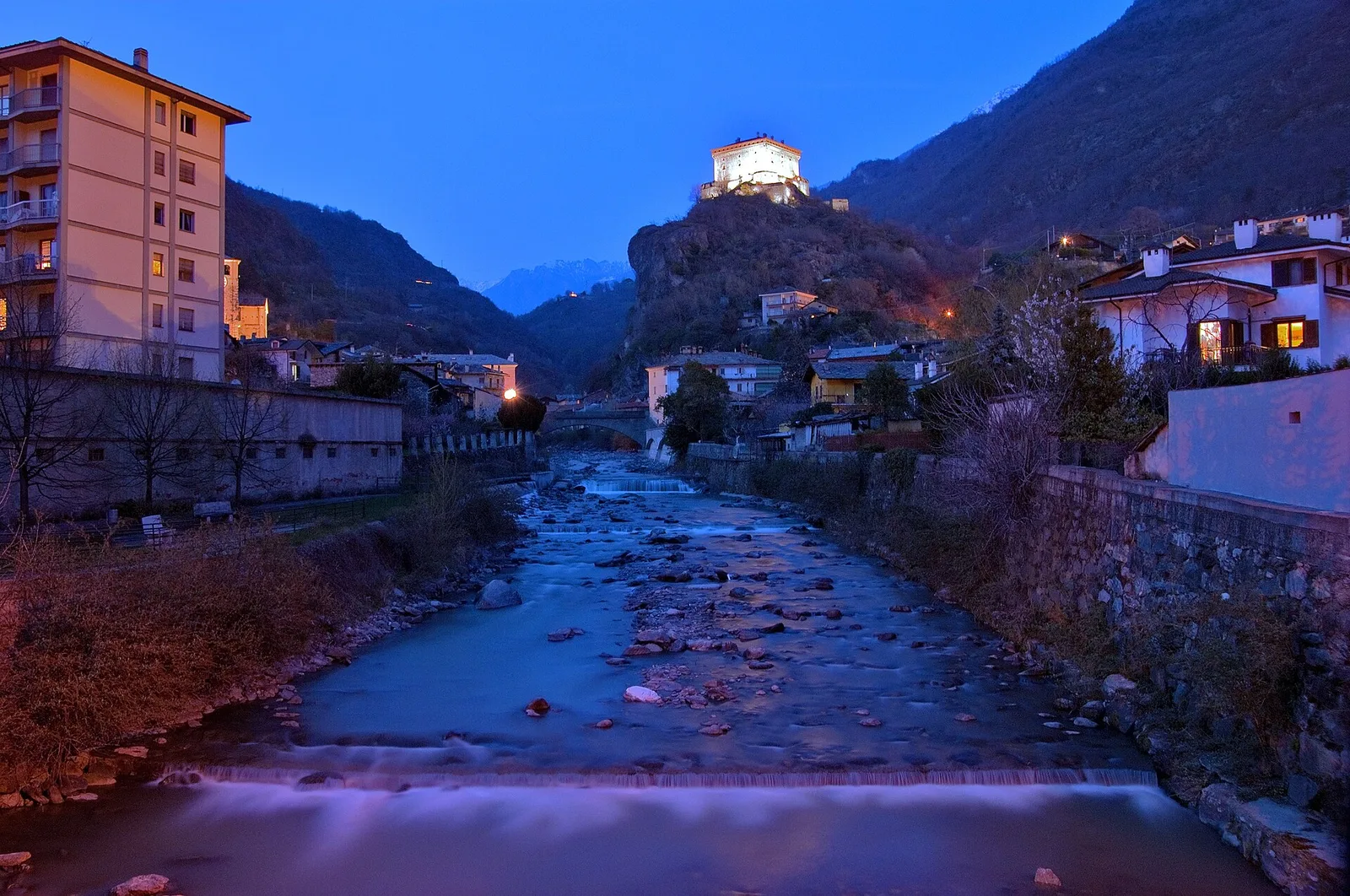
Valtournenche
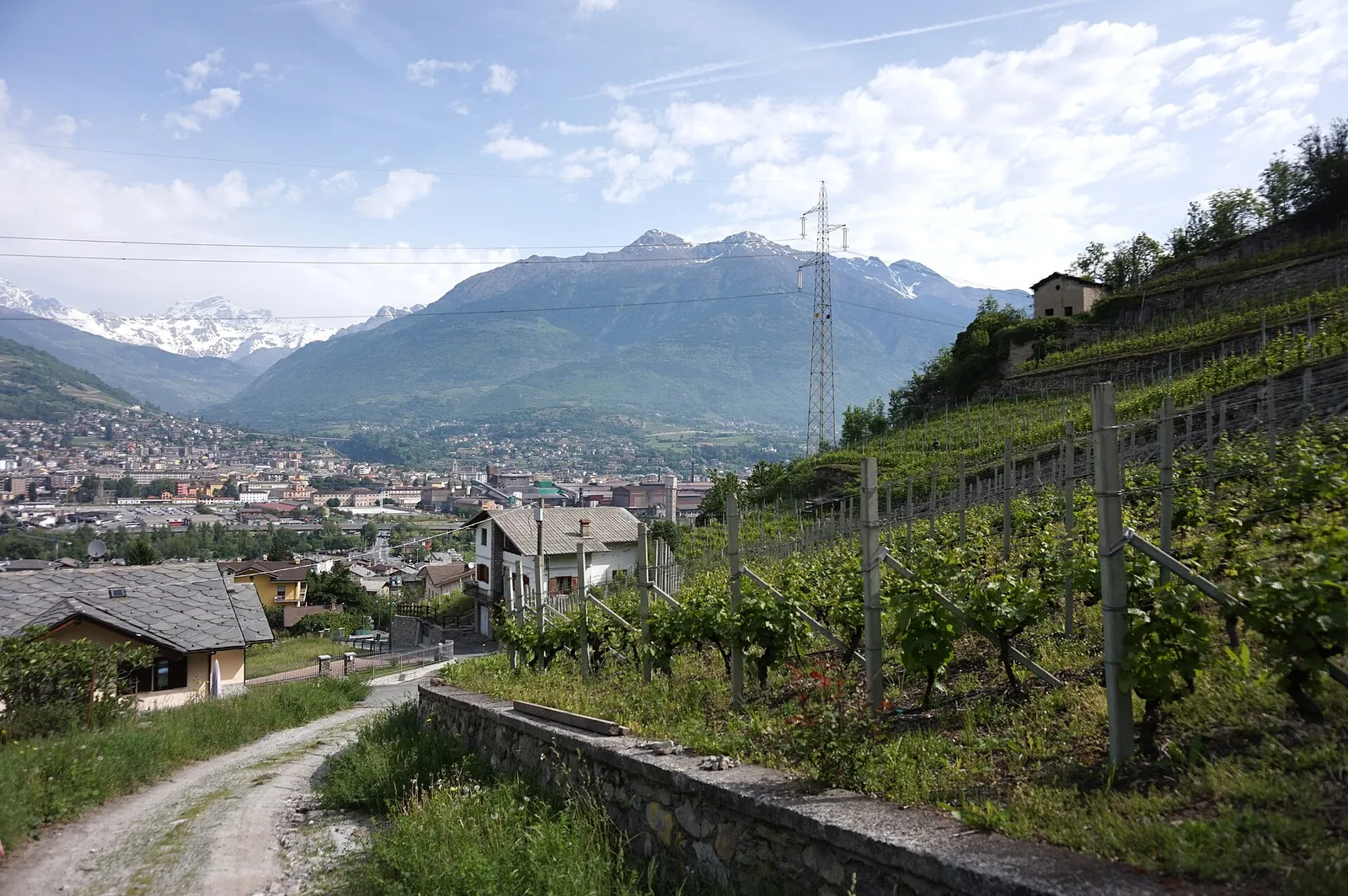
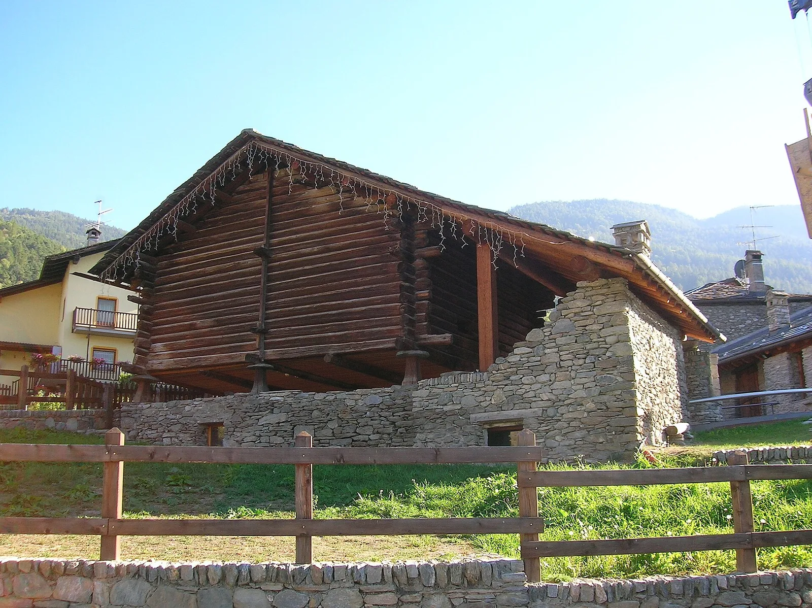
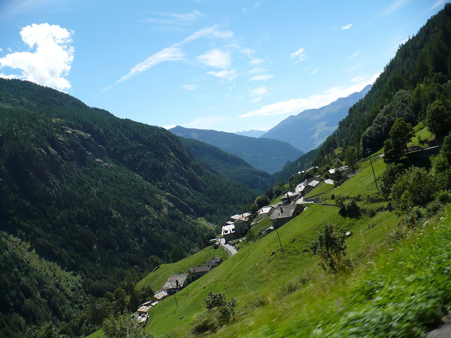
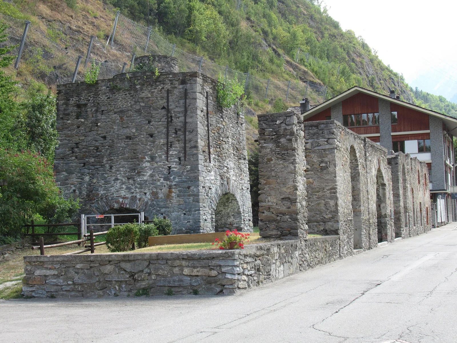
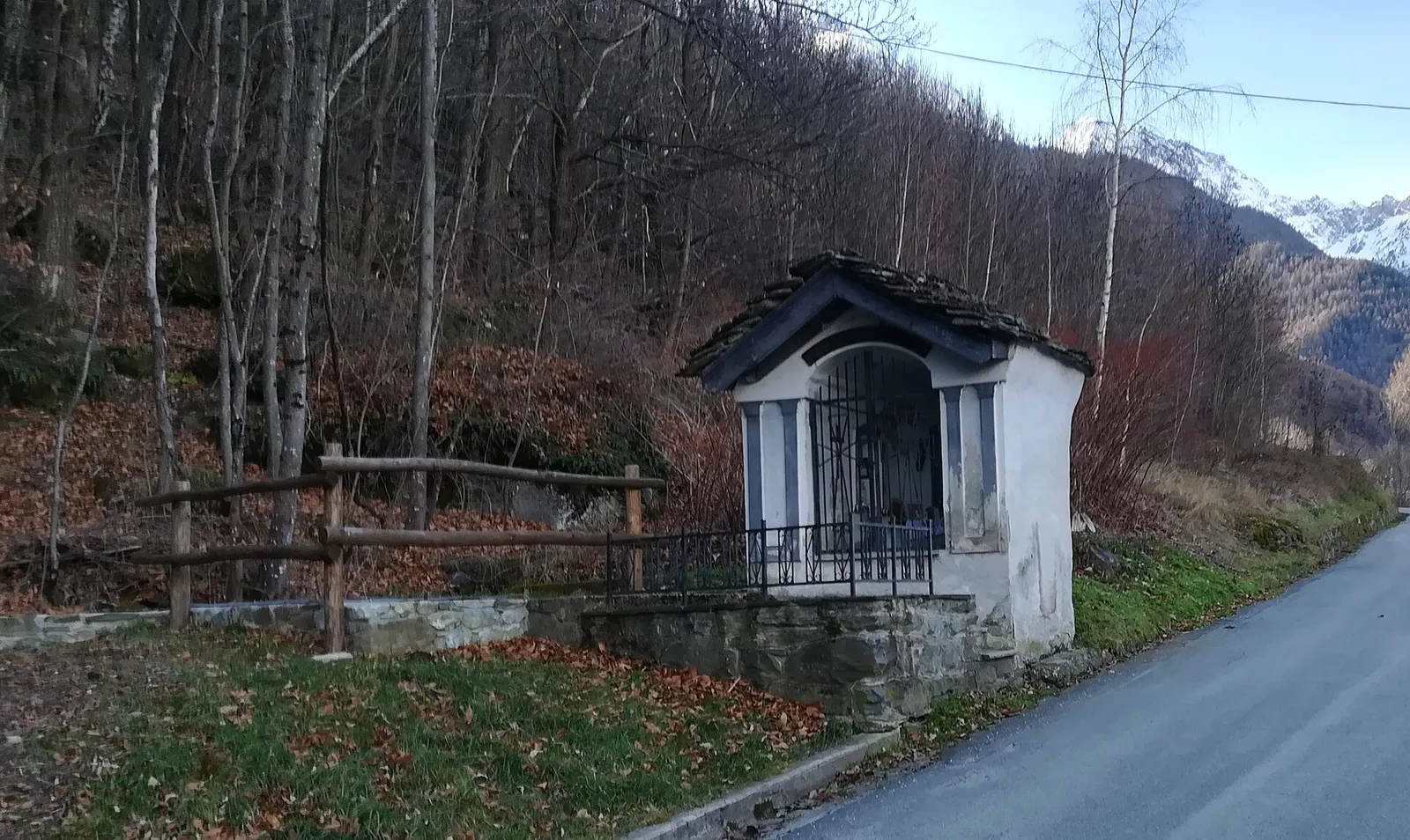
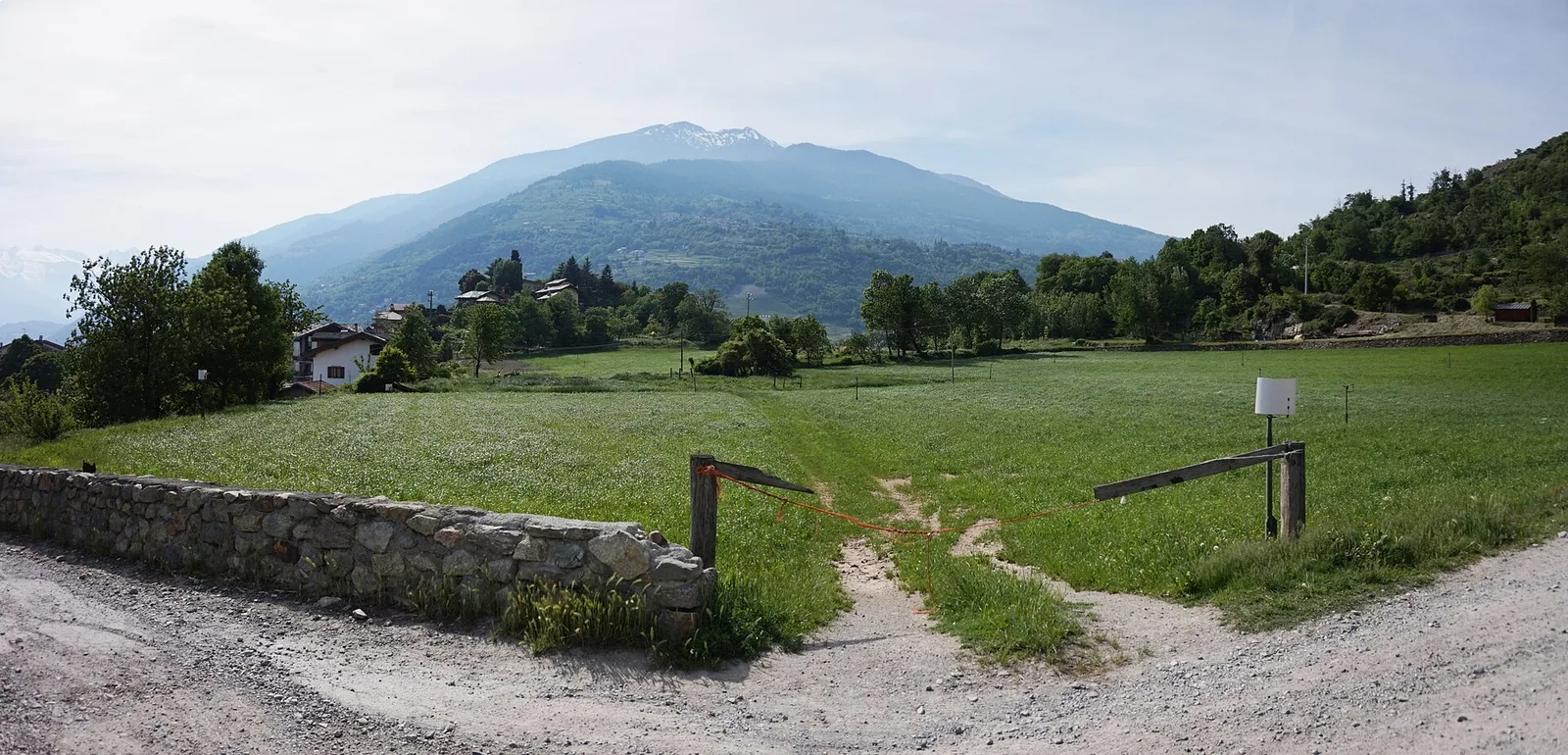
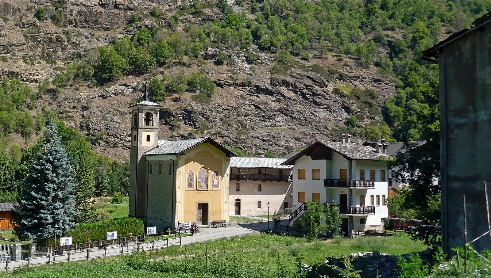
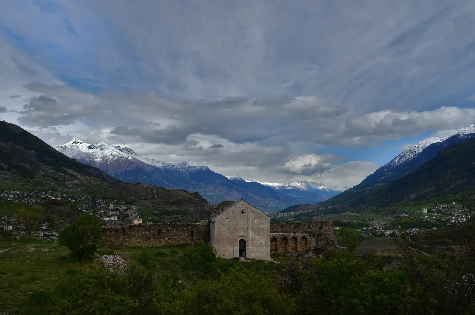
Anello dei Villaggi di Antey ( Ruvère, Liesse,Fontaney, Villettaz)
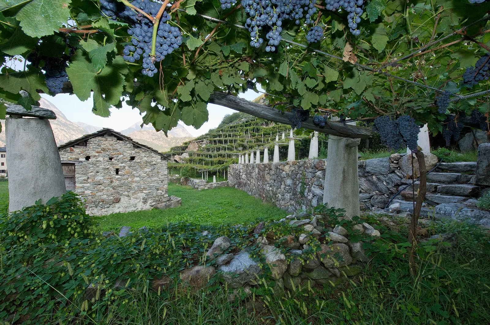
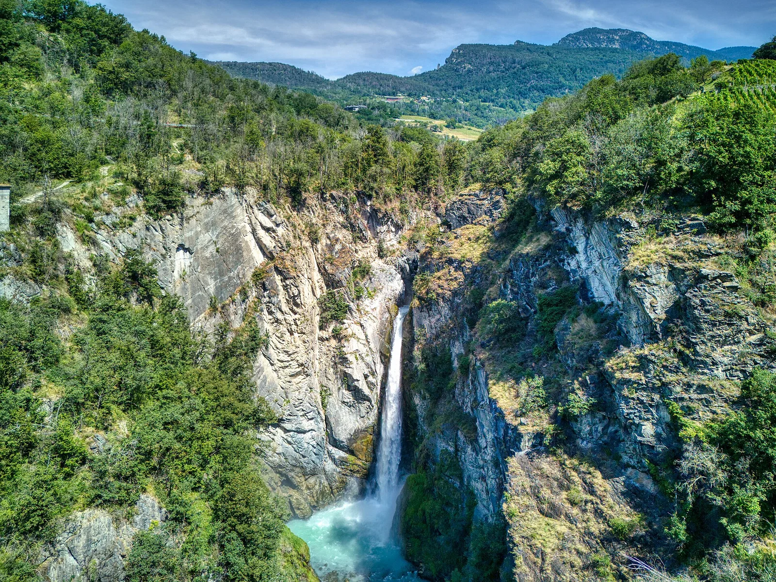
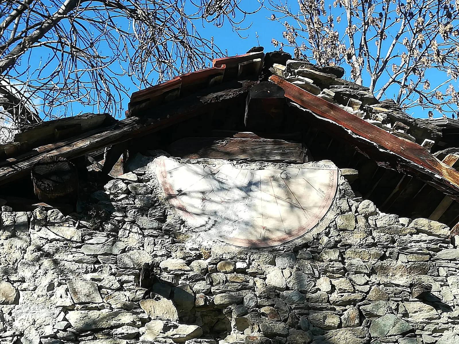
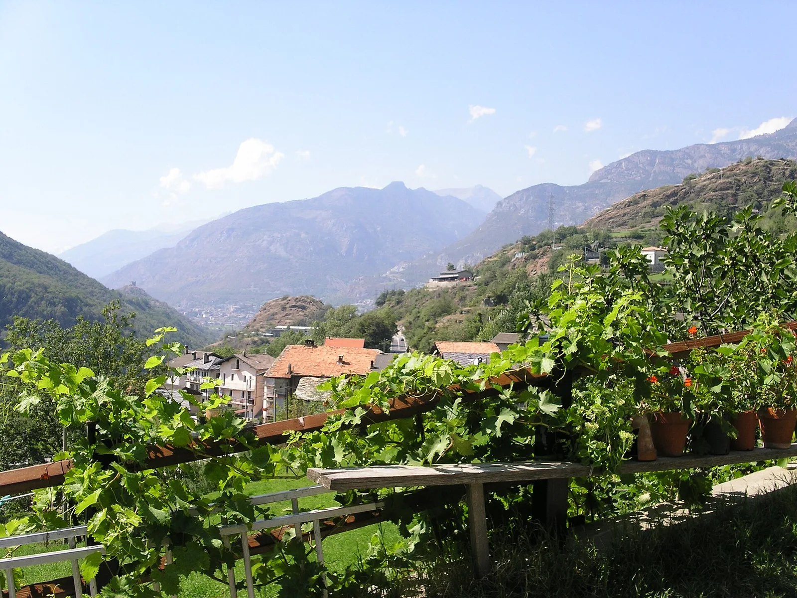
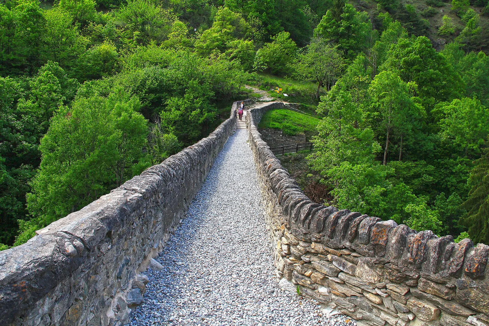
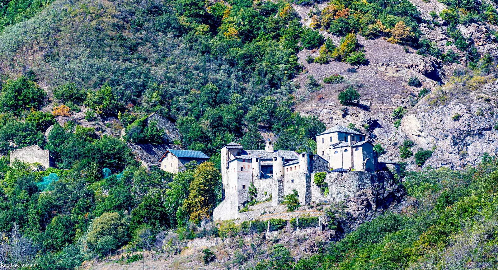
A loop through the sunlit hamlets of Antey and Torgnon: traditional Aosta Valley architecture, vineyards and mid-mountain forest, 5.2 km from Ruvère.
5.2 km+456 m2.5 h