Blanchard - Grand Lac
Advertencias
- Elevation gain >1000m: carry sufficient water and start early.
7.5 km
+1085 m
−0 m
4.5 h
Nivel físico
Mapa y ruta
Traza GPX — verifica sobre el terreno antes de caminar
Descripción
Puntos clave
Salida
Blanchard · 1731 m
Llegada
Collegamento Alta Via 3 · 2815 m
Sendero
S22
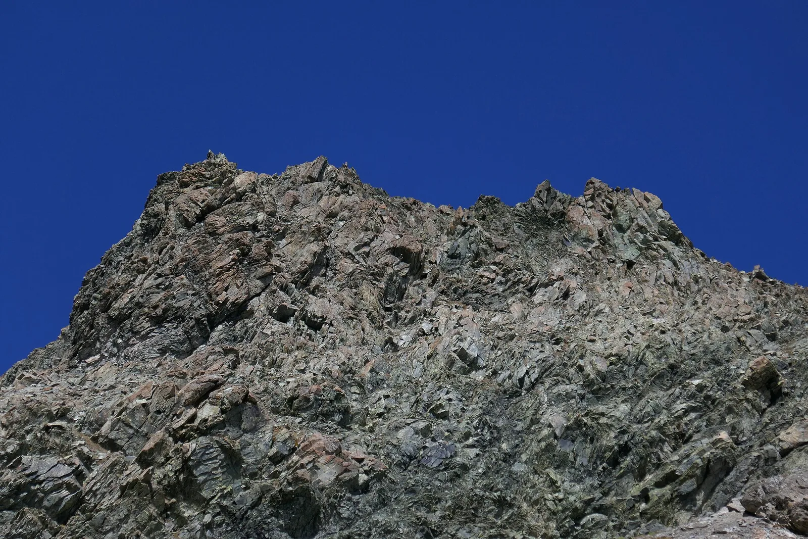
From Blanchard (1731 m) in the municipality of Avise, this 7.5 km route climbs 1085 metres to reach Grand Lac at 2815 m, a key junction on the Alta Via n. 3 long-distance trail. The path ascends through high pastures and glacially sculpted basins, with views expanding steadily across the valley as altitude is gained. Grand Lac is a sizeable alpine tarn and a traditional rest point for Alta Via walkers. Rated E with over 1000 m of elevation gain, the route demands good physical fitness and full mountain gear.
Aparcamiento
Galería de fotos
Photos are published immediately. JPG/PNG/WebP, max 6 MB.
Flora del sendero
AEditado y verificado por Andrea Rama
Fuente de datos: Catasto Sentieri Regione Autonoma VdA · Open data — DGR 899/2014
Última verificación:
Val d'Ayas
Senderos relacionados
Mismo valle o rutas similares — más excursiones por descubrir.

Val d'Ayas
Amponey - Becca Trecare
A demanding EE ascent from Amponey to Becca Trecare at 3032m — nearly 1500m of gain on varied terrain with sweeping summit views.

Val d'Ayas
Amponey - Alpe Mascognaz
1.8 km · +309 m · E — from Amponey to Alpe Mascognaz (Central Valley).

Val d'Ayas
Amponey - Bec de Nannaz
In the Val d'Ayas, Ayas: an E-rated climb toward a high-altitude objective through pastures and rock with views of Monte Rosa.

Val d'Ayas
Amponey - Mont Facebelle
In the Val d'Ayas, Ayas: an E/EE-rated climb toward a high-altitude objective in the alpine landscape.